
One of the things that makes this world so amazing is the fact that we never cease to encounter surprises. No matter how well we get to know a subject, any subject, we will encounter, and observe, from time to time, that which does not fit closely into the patterns we have learned. We will periodically be tested, in our knowledge, and forced to rethink, and once again reason out what we have seen based on our critical thinking skills and understanding of our favorite subjects. Like the psychologist that talks to someone new and says “I have never seen this before”, these experiences rekindle the passion we have for that which we love, remind us how complicated the world really is and how little we really know, and remind us about how interesting of a place the world truly is.
The 9th of May 2017 was a confusing chase day for me. It is one that I am still trying to figure out, much in the same way the scientific community is still trying to determine why some storms produce tornadoes and others don’t.

The day began with a slight risk across Eastern Colorado and New Mexico, and reason to believe, based on model output and expert opinion, that it could be a decent setup for a storm chase in East Central/ Southeastern Colorado.
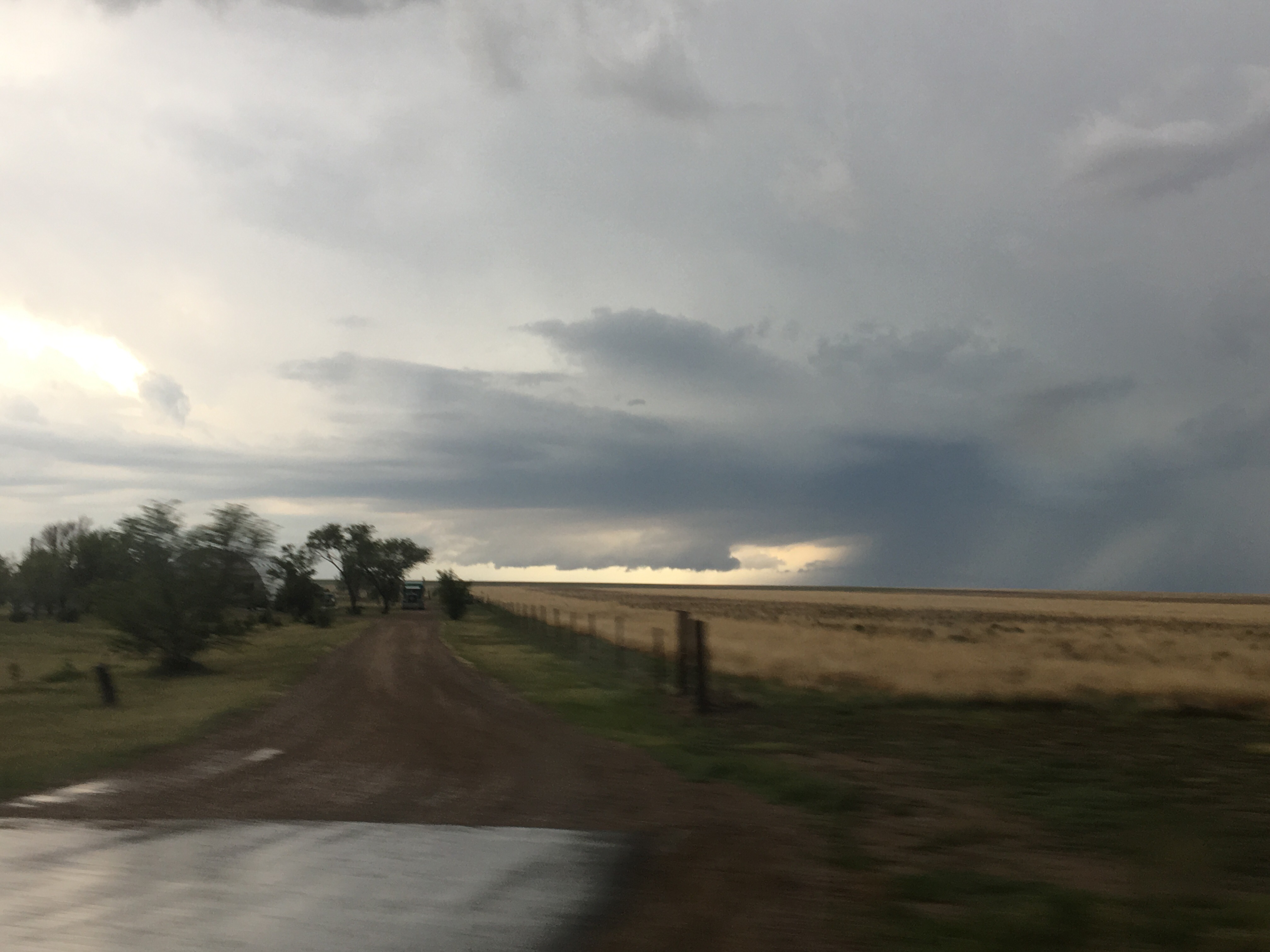
The day ended up being one where I followed over half a dozen storms, over the course of the afternoon and early evening, northeastward, from near La Junta, Colorado, to just north of Goodland, Kansas.
Regardless of where a storm was positioned, both relative to other storms, and relative to atmospheric boundaries such as dry-lines (the boundary between moist and dry air), which are credited with creating the lift in the atmosphere that often creates storms, all the storms would behave in much the same sort-of standard but sort-of not manner.
They would cluster together and come apart. They had the standard boundary one would observe between the inflow and outflow portions of the storm.

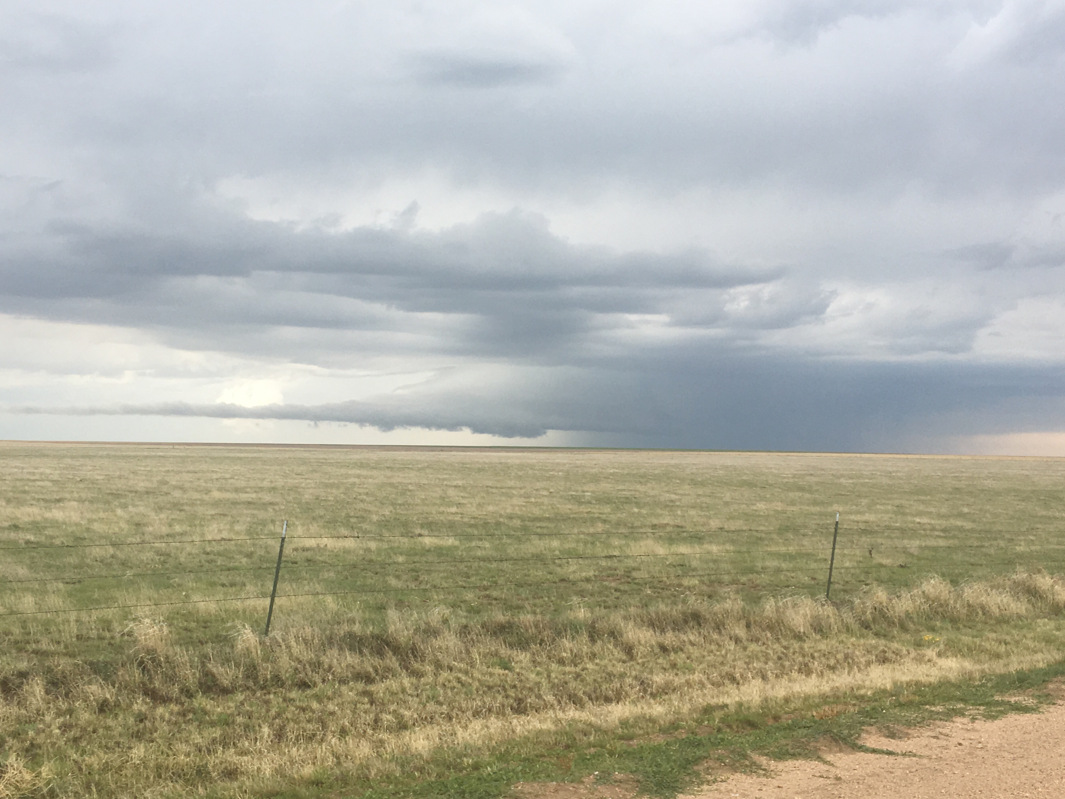
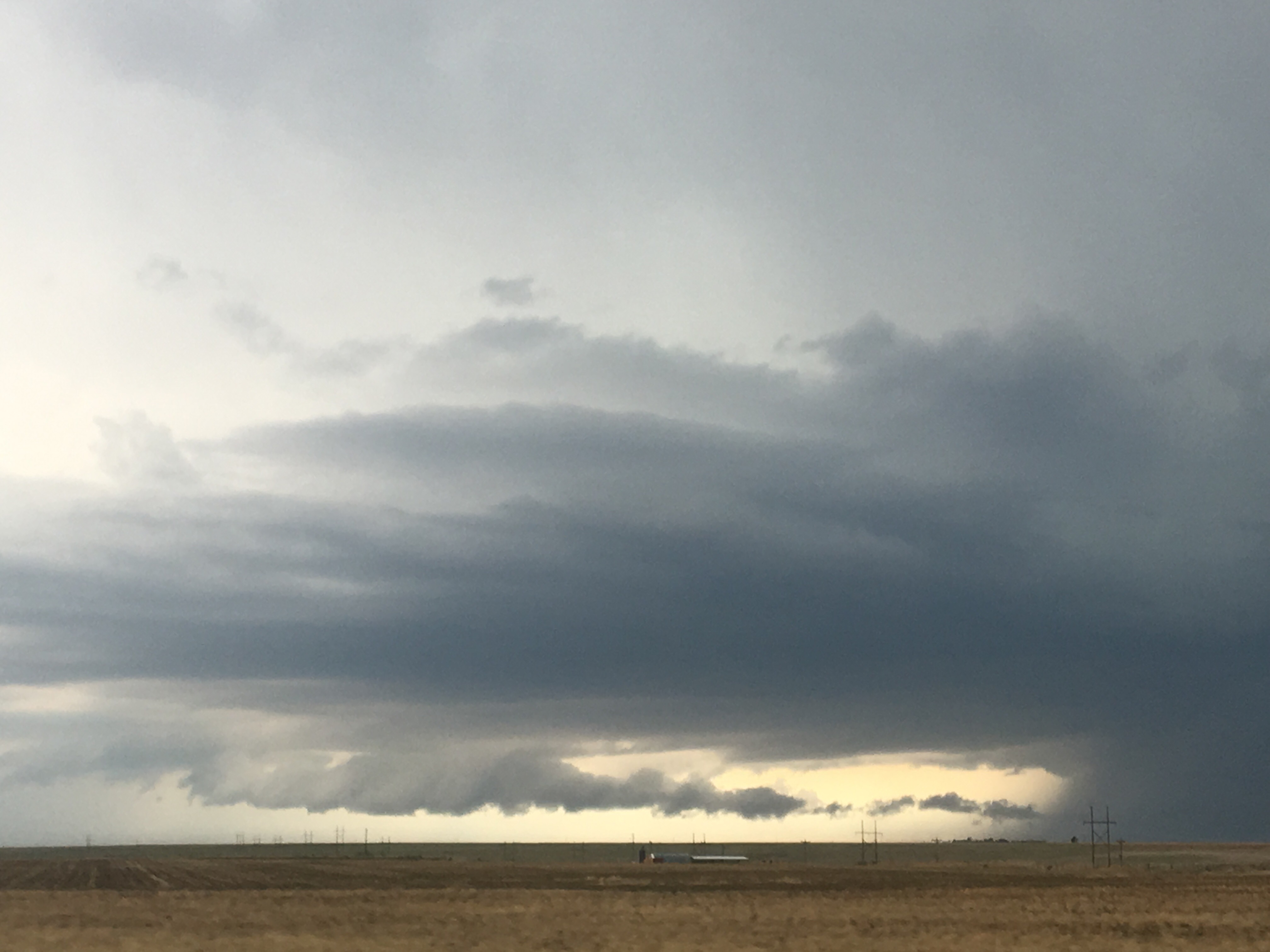
Some would even show something that look like a “lowering”, which is often an indication of the mesoscale rotation that causes tornadoes.
But, these “lowerings” would show up in some strange sections of the storm, including in the front part of the storm. This is absolutely nothing like how anyone is taught that a “supercell” thunderstorm operates.

In the end, storms did occur, but largely outside the region SPC highlighted that morning.

And, in the areas of Colorado and Kansas I had chased, nothing more than a couple of hail reports. Although, I am quite certain that there was far more hail than what is shown on this map, as I recall driving through some areas where hail covered the ground, including multiple areas near Burlington, Colorado.

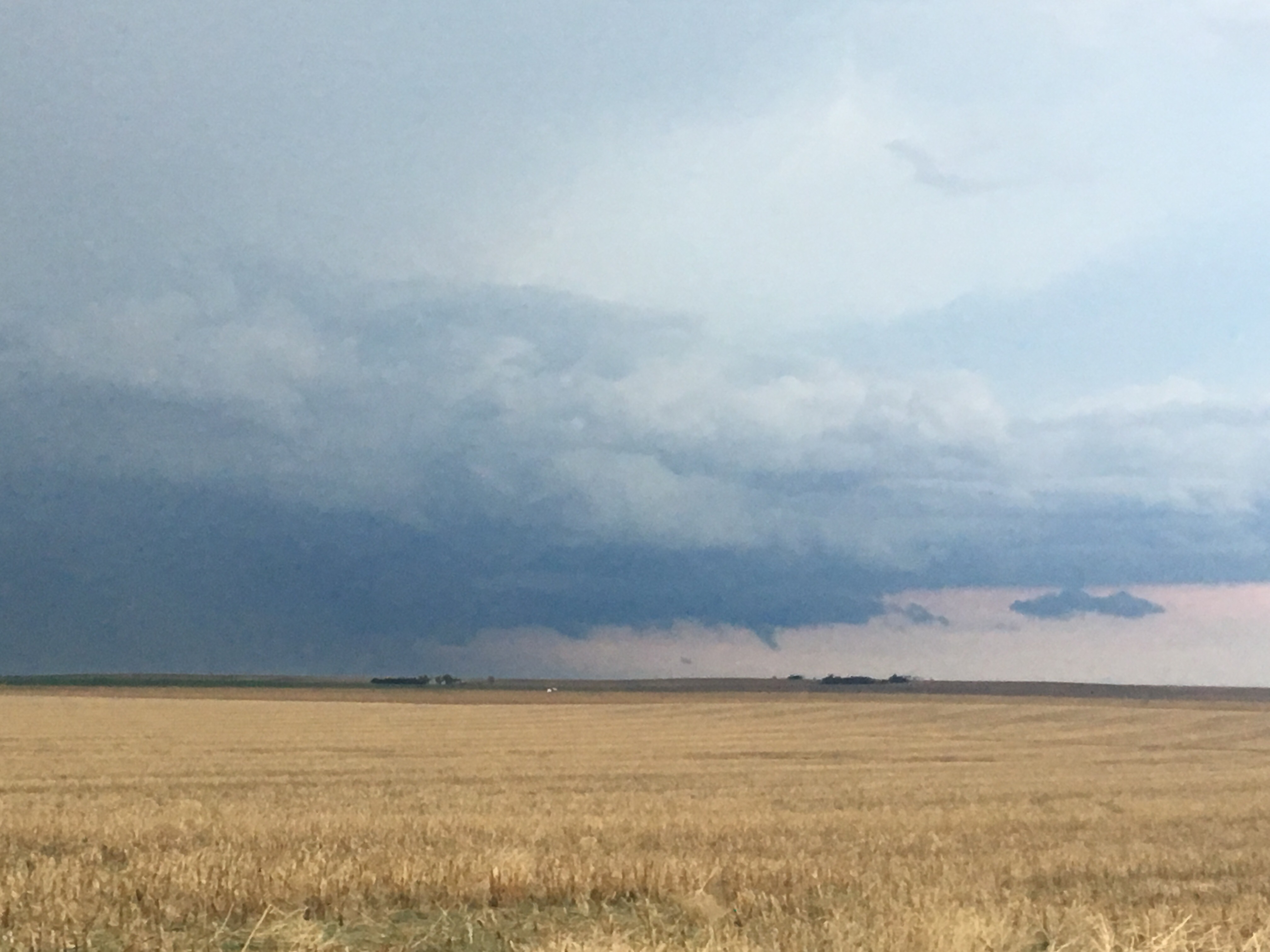
I watched these storms tease us all day. Everything just seemed, well, weak. In a typical tornado situation, these random-ish clouds that form around a storm, often referred to by chasers as “scud” (I don’t know why), rise and rotate, indicating that there is indeed, the vertical motion and rotation that produces tornadoes. But, today, the rising and rotating motion in these storms all seemed, well, just weak. It reminded me of a relationship, or a friendship, that just fizzles away as soon as any small change occurs. It was not that there was any kind of real force or circumstance pulling these people apart. It was just that whatever connection they had was not strong at all.
That is the way it was with these storms. Something about the entire setup made them behave differently, but I throughout the evening, as I watched the final storms roll away into the sunset. I could not formulate the full reason as to why these storms behaved so differently from a standard severe thunderstorm situation.
I am still wondering. Often times severe thunderstorms don’t materialize because one key “ingredient” was missing. Shear, instability, a good boundary, etc. And those often lead to what is refereed to as a “bust day”. It’s just sunny. Or drizzly.
May 9th was not a complete “bust”, as there were storms to look at all day. They likely never became severe because everything about the storm setup was just kind of weak: Weak to moderate instability. Border line helicity. A sort of weak boundary.
And, just like the storms themselves, with multiple areas of quazi-rotating clouds, the atmosphere as a whole had no real focus. Often times, severe thunderstorms draw upon air from hundreds of miles away for energy. This produces scattered, but strong storms. With hundreds of active storm cells, there was less energy for each individual storm.

Of course there are other theories. After all, it could have all been the lack of low-level shear. But, in the end, it felt as if the entire day was telling me something. It was like a crash course in how to create, well, mediocrity. Have only part of what you need before you proceed. Focus on nothing- just spread yourself real thin. And, choose to follow some of the rules, but completely disregard others.
