One of the things a lot of people don’t realize about Colorado is that it is actually possible to hike here year round. For sure, winters in Colorado are characterized by a lot of snow, but at lower elevations, warm-ups are also quite frequent. Earlier this year I made some calculations with some data from the National Climatic Data Center, and concluded that even in the coldest part of winter high temperatures can be expected to exceed 50F in Denver more than one in three days.
At higher elevations it is more consistently cold and snowpacked. This is why Colorado has great skiing, but also why hiking at higher elevations beyond the month of October generally unrealistic. However, it is great knowing that there is a place where both skiing and hiking could be available on the same calender day. Sunday I went skiing, Monday I rode my bicycle, and yesterday I hiked. What an interesting place!
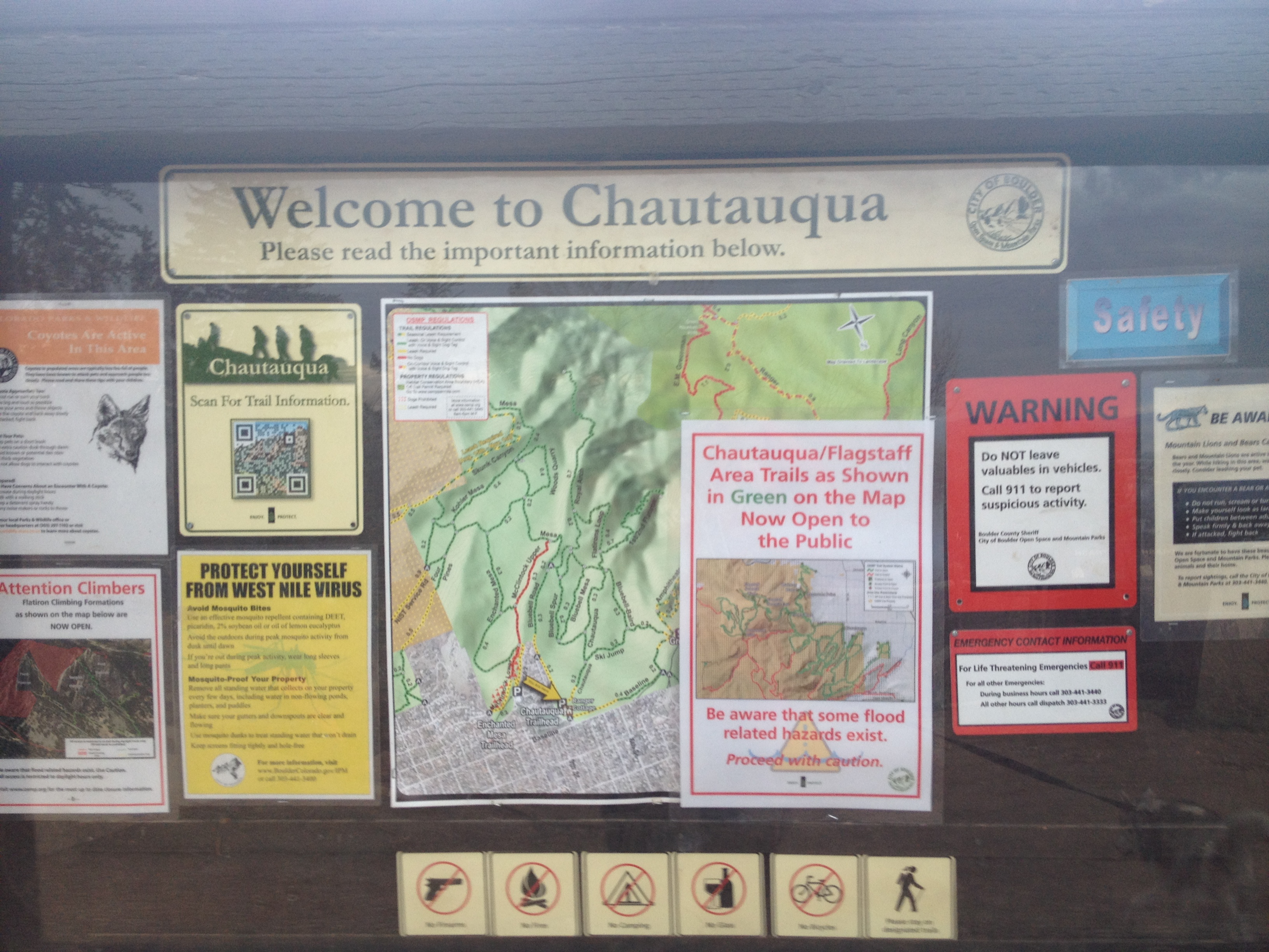
With that in mind, this is a great time of year to check out many of the hikes available at lower elevations. This includes the Flatirons in Boulder, Colorado. Many of the trails up this mountain feature can be accessed from Chautauqua Park on Boulder’s Southwest side. With the park being in town, and downtown Boulder being only about a mile and a half away, and this park can easily be reached by bike or bus, making this one of the few places in the country where one can frequently hike and even rock climb without access to a car. So, I can kind of see why it is an expensive place to live, but I really did not mind driving, so I’ll spare myself the extra $400 a month in rent.

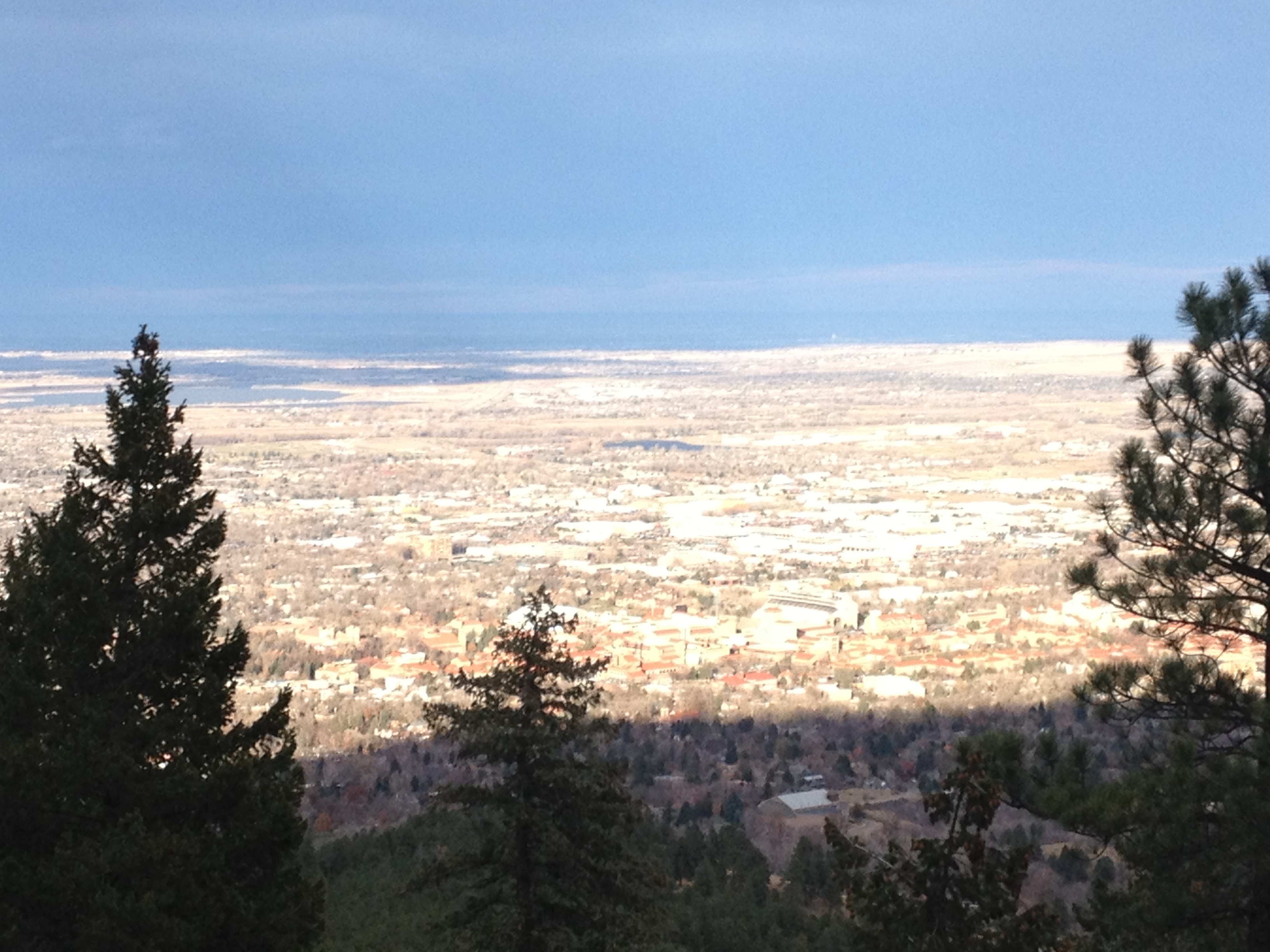
Hiking in the Boulder Flatirons is quite different than climbing a trail up a mountain. Rather than one trail up and one trail down, there is a network of trails that need to be navigated for one to reach their destination. From the parking lot, the Chautauqua Trail can be followed up to the Flatiron Loop Trail. The Chautauqua Trail is a fairly consistent moderate uphill grade. The Flatiron Loop Trail, however, gets both steeper and rockier. Climbing this trail reminded me how high in elevation the Flatiron features really are. With the features known as the Flatirons being so close to town, it is easy for one to think of these features as extending down almost to the elevation of town, roughly 5400 ft. But, the reality is that these features are largely between 7000 and 8000 ft. in elevation.
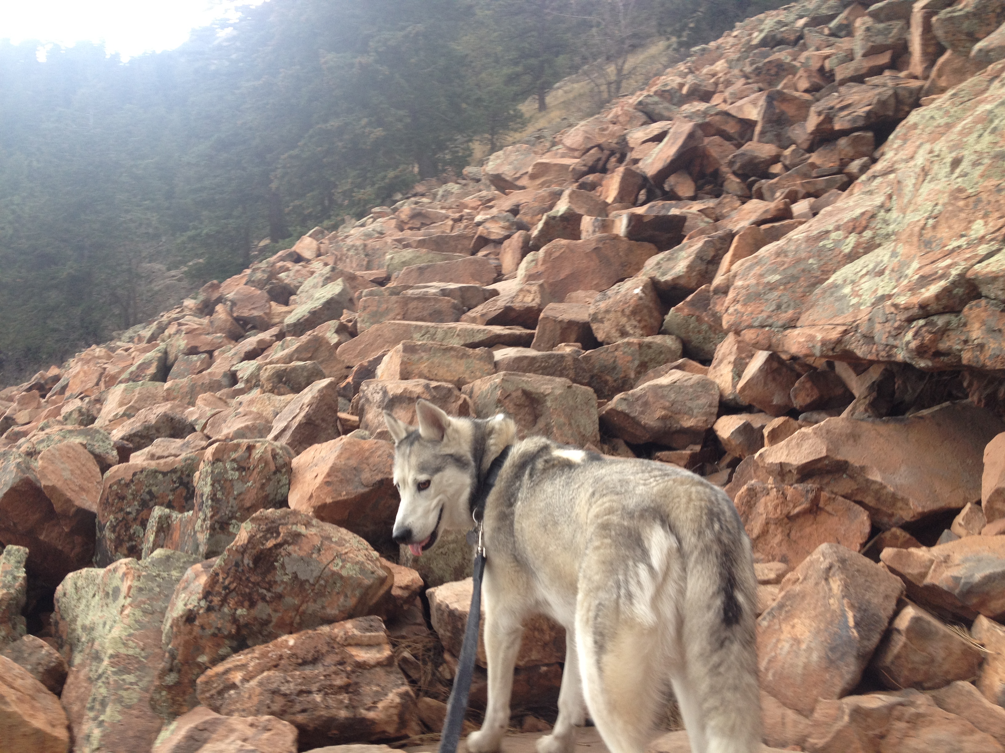
Some of the rockier areas of the trail scared my dog a little bit. Despite this, I did see a significant amount of dogs on the trail. However, in Boulder, I would consider the Mount Sanitas Trail more dog-friendly, as it does not contain segments like this one.
What I did not realize until yesterday’s hike was that the Flatirons are numbered. The Flatiron Loop Trail traverses Flatirons #1 though #3. For each of these peaks, a spur off the trail provides climbing access. The first Flatiron, pictured above, looks somewhat different up close. Small scale features, particularly indentations in the rock, do not show up when viewing these features at a distance. Like some famous paintings, they look nicer from afar than they do from close up. The trail reaches it’s peak elevation between Flatiron #2 and Flatiron #3, and beyond Flatiron #3 is the trail I intended to do, the Royal Arch trail.


Unfortunately, this trail was closed, most likely due to the flooding. As an alternate, I decided to hike the Flatiron #3 climbing access trail, as I still wanted to get to the top of these features. This trail was even steeper than the Flatiron Loop Trail, and also a lot narrower and rockier. It is one of those trails where one follows the rocks as an indicator of the trail’s path.

Flatirons #2 and 3 appeared somewhat more as I imagined them; rock formations poking out of the trees, with a near steady slant of around 45 degrees. As I viewed each of these features up close, I could not help but be reminded of the rock features near Red Rocks. Of course, these features are not nearly as red in color, but their shapes looked quite similar, making me believe that some of the same geological processes must have been at work in the creation of both of these features.

On the return trip, back to the parking lot, I actually came to the conclusion that Flatiron #1 just looks somewhat different than the other two. A later Google image search would confirm this for me. I guess this one is not quite a “flat” as the other ones.
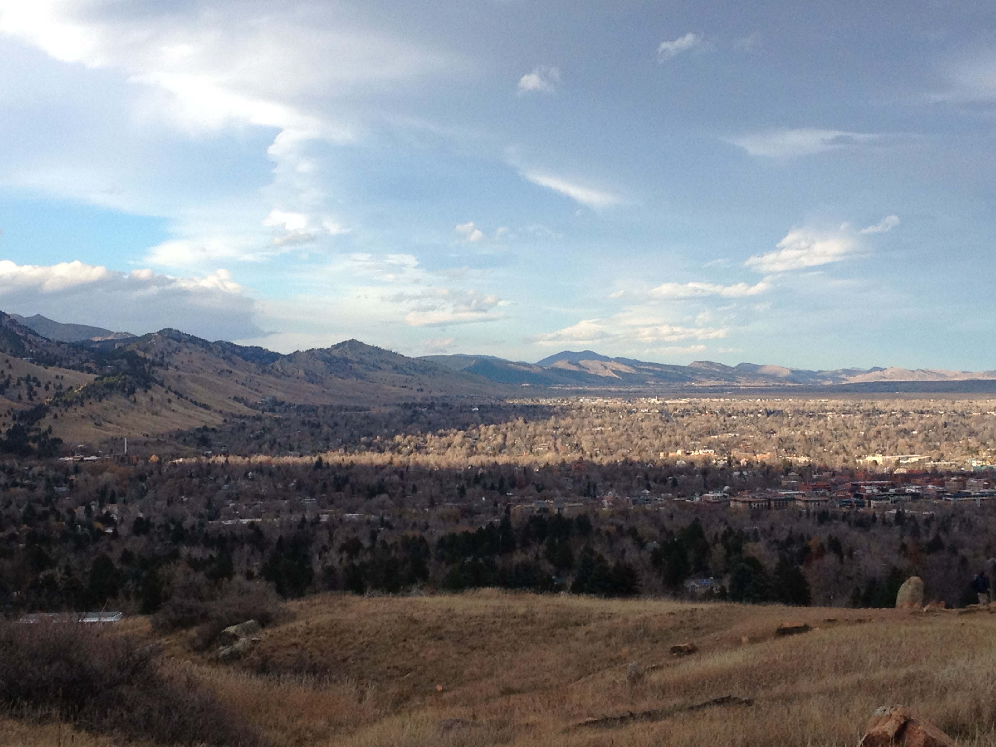
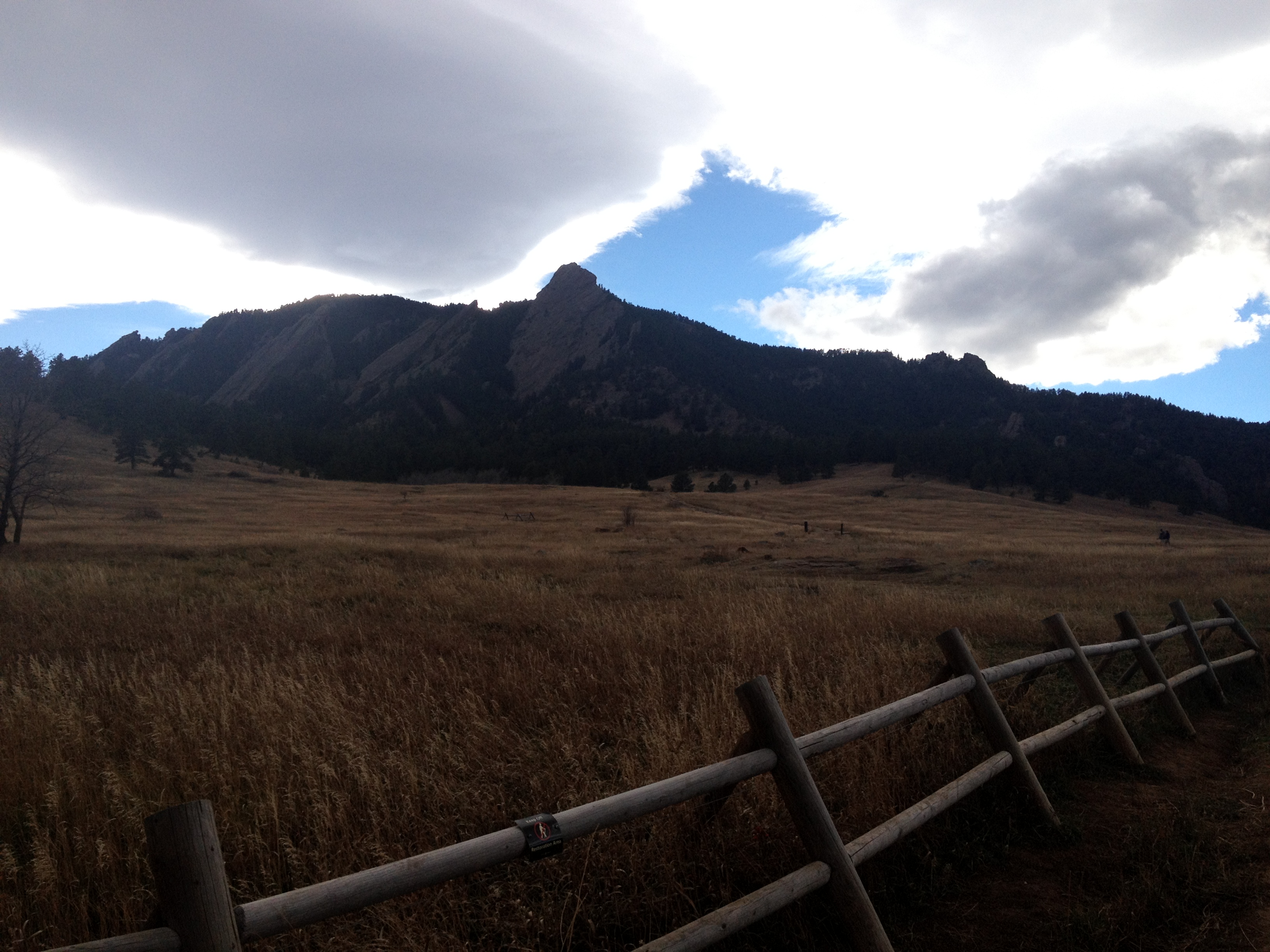
It was actually nearly 3/4 of the way back down to Chautauqua Park that I encountered what I consider the best view of the day. The time was around 3:30 P.M., which in late November means that the sun was already starting to descend in the western sky behind the mountains. However, the sun was still an hour or so from setting. As a result, the shadow created by the mountains can be seen quite clearly in contrast with the bright sunshine, making for a breathtaking image that is unique to that particular time of day. Half an hour earlier, it would have looked like your standard daytime image of the foothills of the Rocky Mountains, and half an hour later this entire area would be shadowed and the entire region would be significantly darker.
I did not specifically plan to be here at this exact time, in this exact place. In fact, if I were to try to calculate what time of day I would need to be here to see this exact view, I likely would have calculated it incorrectly. Sometimes in life the best results come not from careful planning, but from simply going to new places, trying new things, and being ready to absorb and enjoy what comes your way. This is what comes to mind when I look at this particular photograph.
