Phenomenon like “quiet quitting“, the “great resignation” and some places experimenting with the four day workweek should make it abundantly clear that there is something less than ideal about the standard work culture of the post industrial world.
Note: This book was published in 2010
Our general work setup is built around a world that no longer exists. It was built around the industrial world of one income families of a hundred years ago. On an assembly line, the amount of value someone brings to a company is directly connected to the number of hours they are present. The eight hour workday represents a compromise of sorts between business owners and labor. It is based on this direct connection between value and hours worked, as well as a world where most laborers were men with women at home tending to childcare and household upkeep. Today’s world is completely different and needs a completely different paradigm.

A silent disco co-working pop-up in Denver, curtsey of Cifernoise Productions
However, realistically, it is going to take a while to get there. We are still in the beginning phases of exploring the new nature of work after the pandemic.
And, there are plenty of powerful interests trying desperately to keep as much of the old, flawed system as possible. This will certainly delay progress towards a new paradigm.
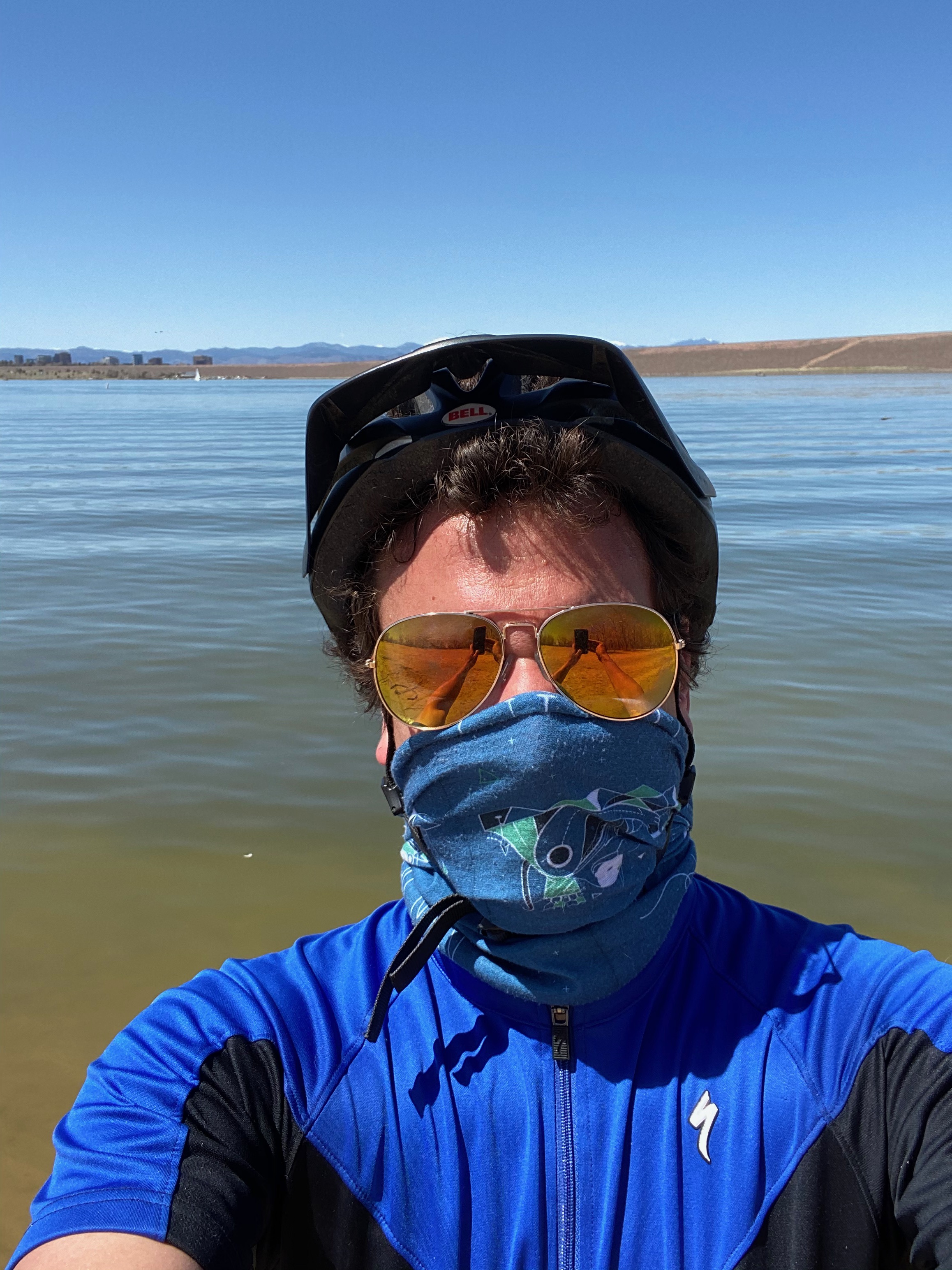
At this time, living a healthy and balanced life will require being innovative and working with what we have available. This is why I have taken an interest in hikes that can be done in roughly 90 minutes close to home. This fall, I tried two.
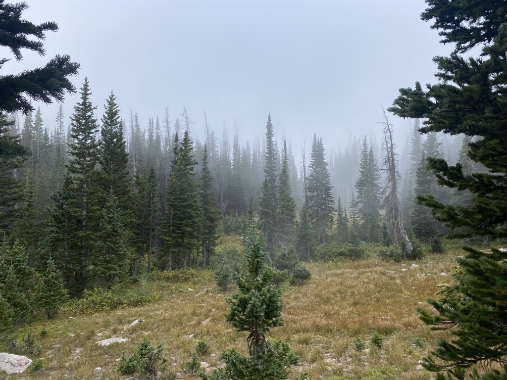
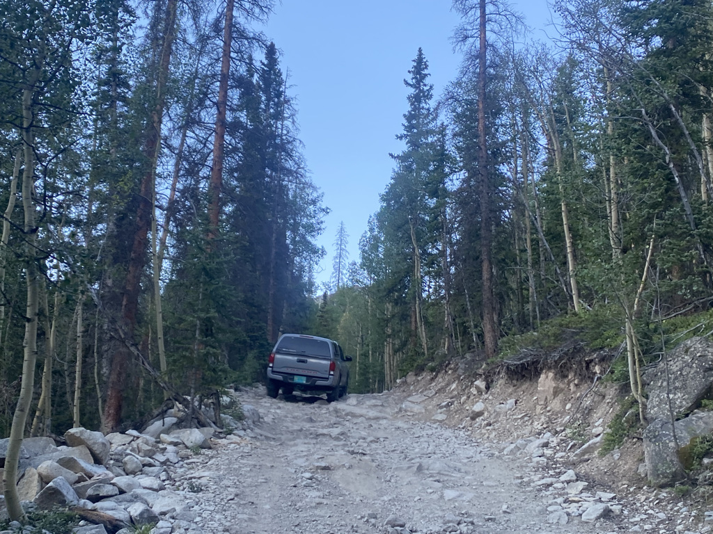
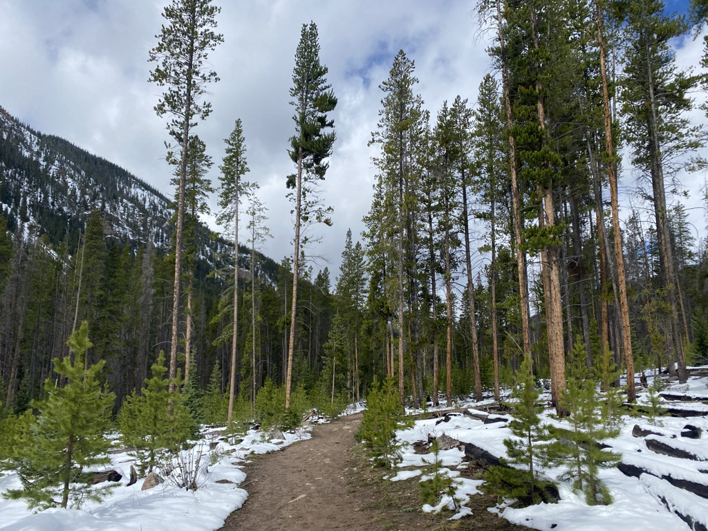
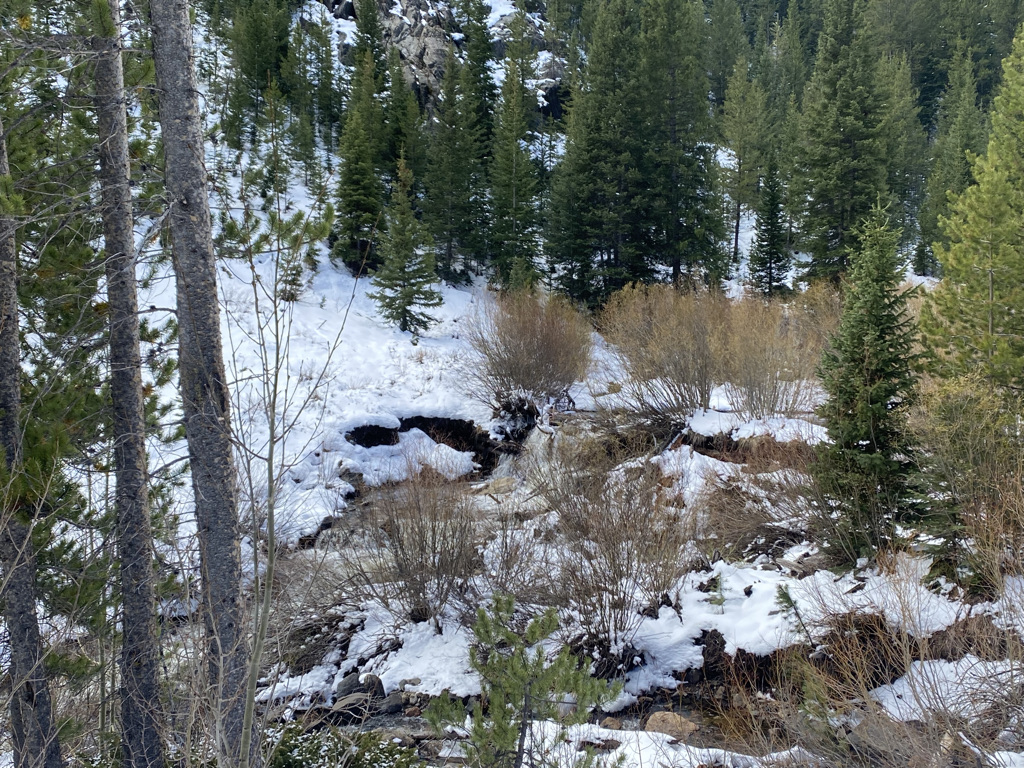
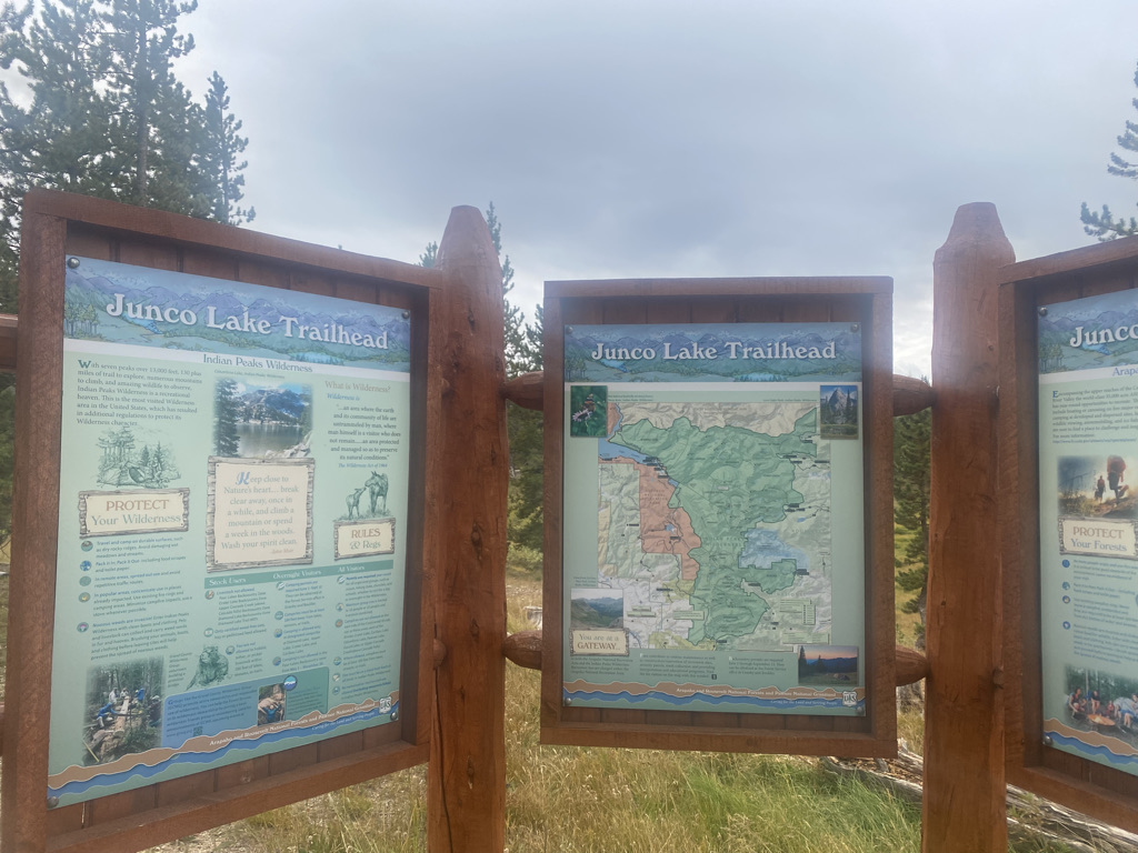
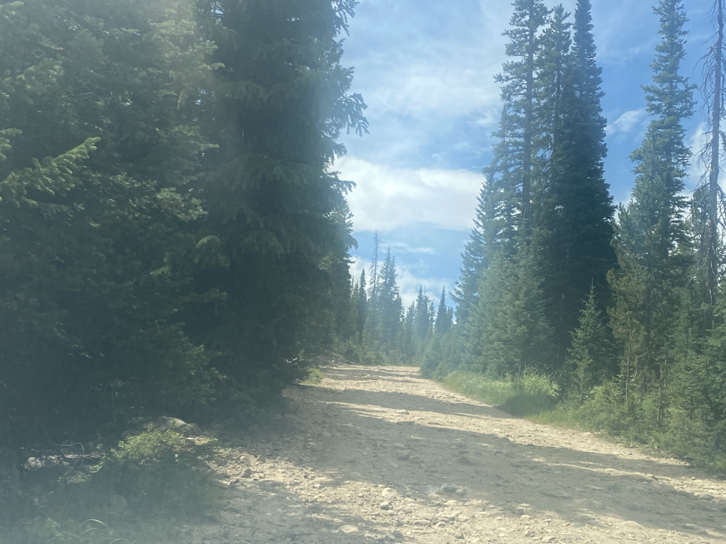
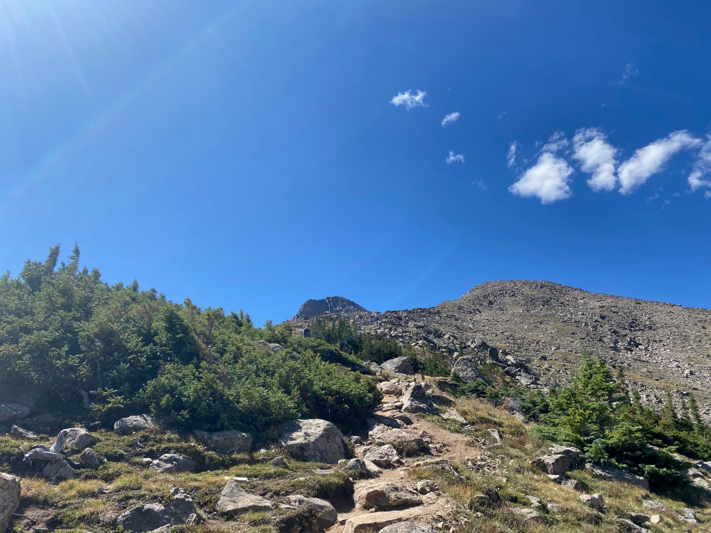
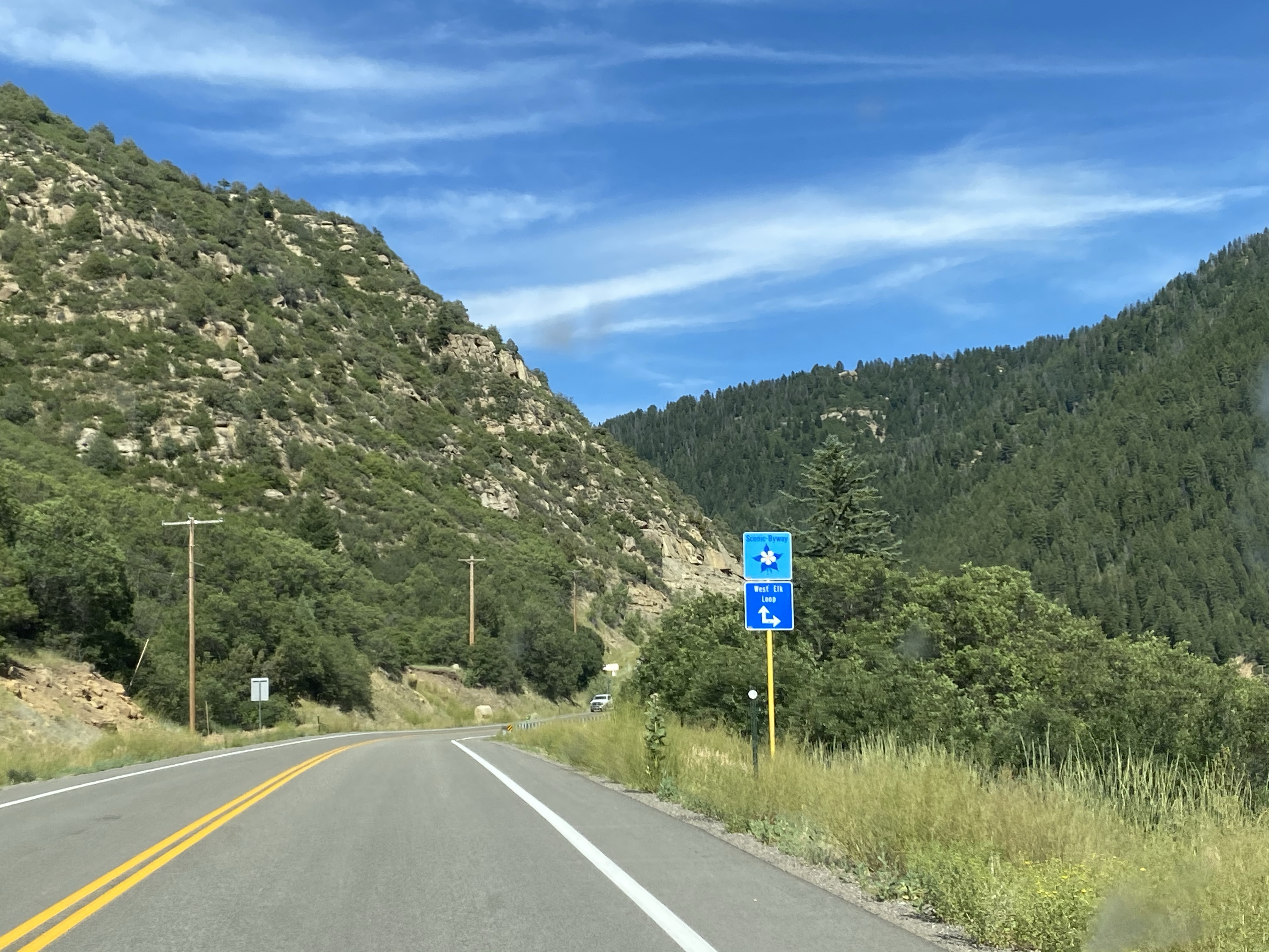
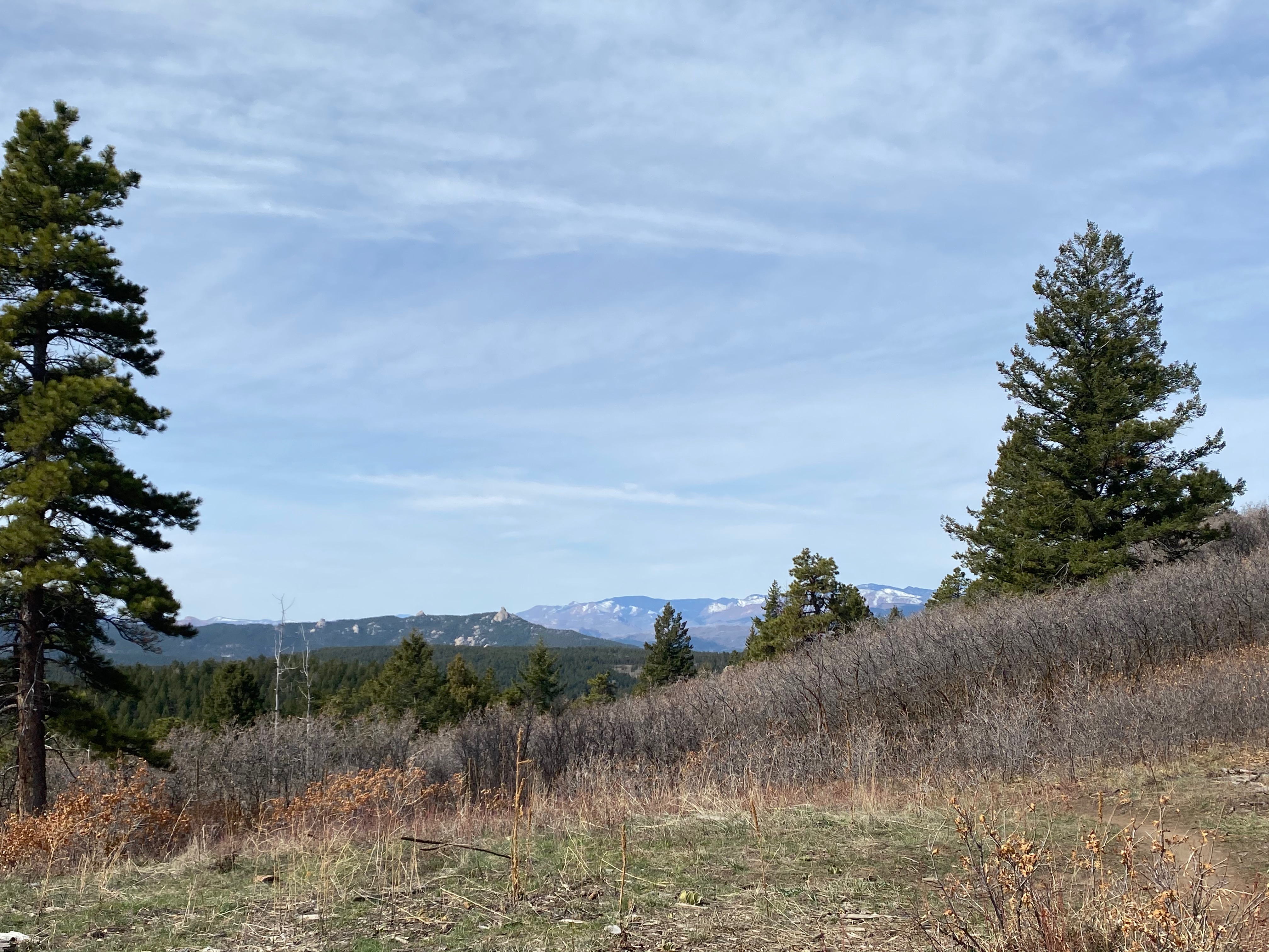
First was Pence Park, between Evergreen and Indian Hills.

The hike to the top is about a mile and a half (2.4 km) with an elevation gain of 750 feet (230m).


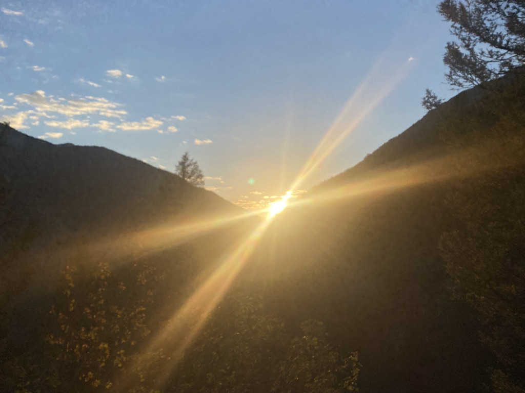
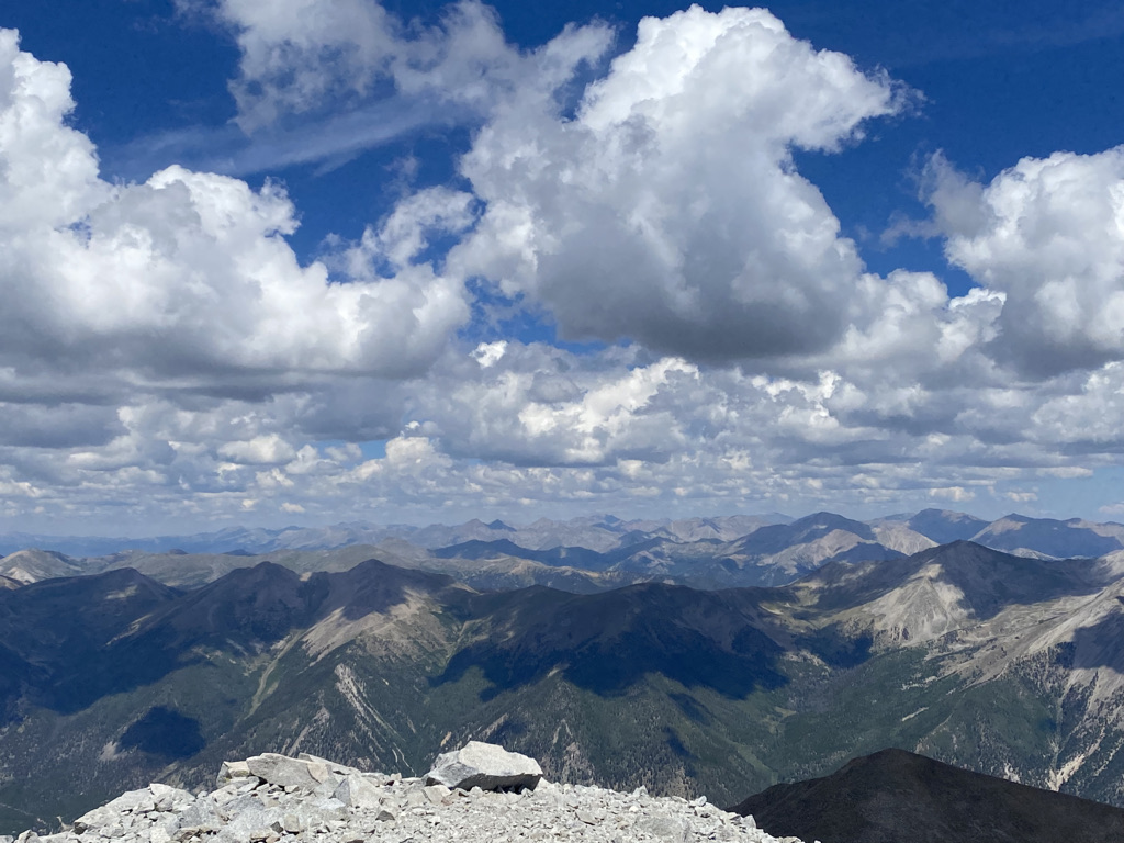
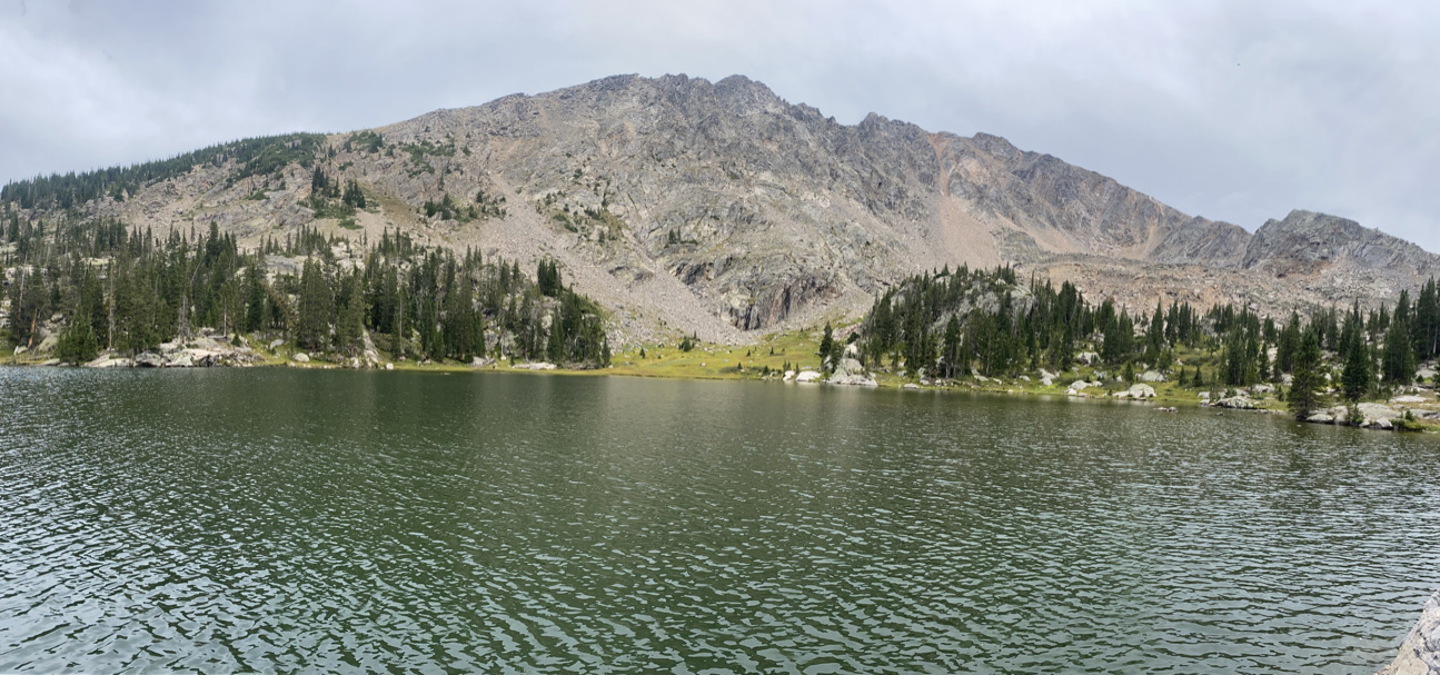
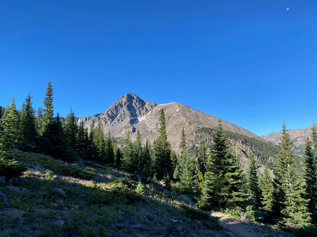
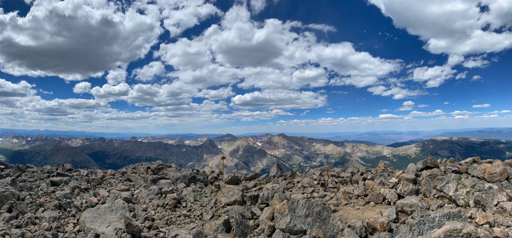
For a short hike, the views here are quite stunning, especially at the top.

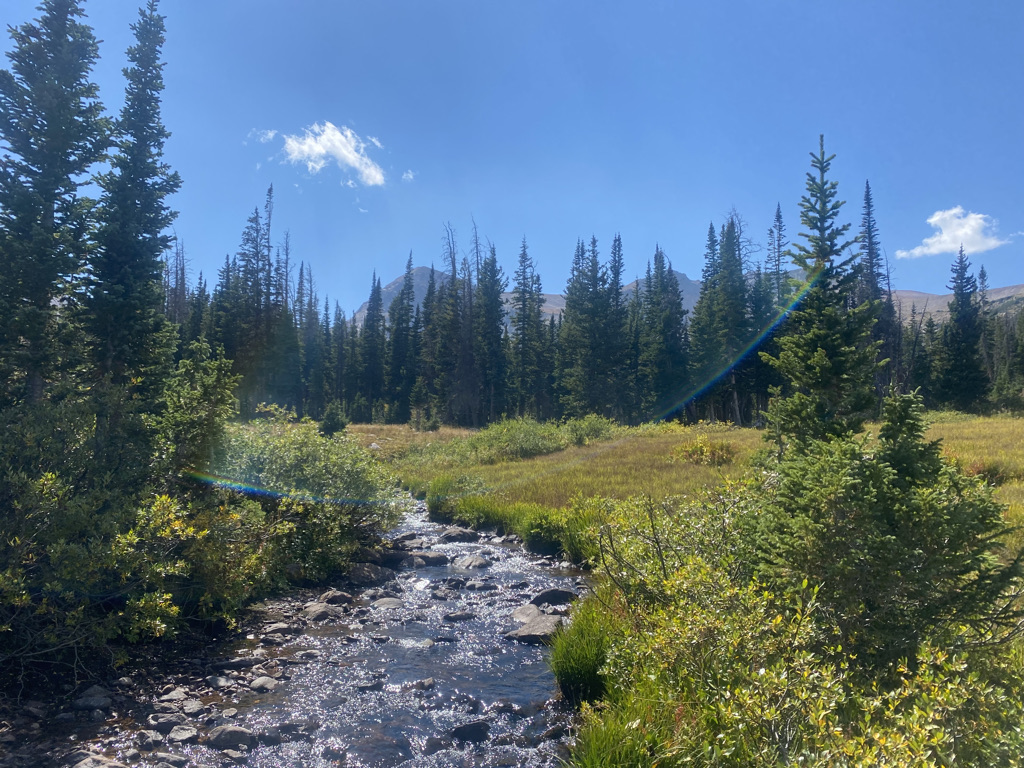
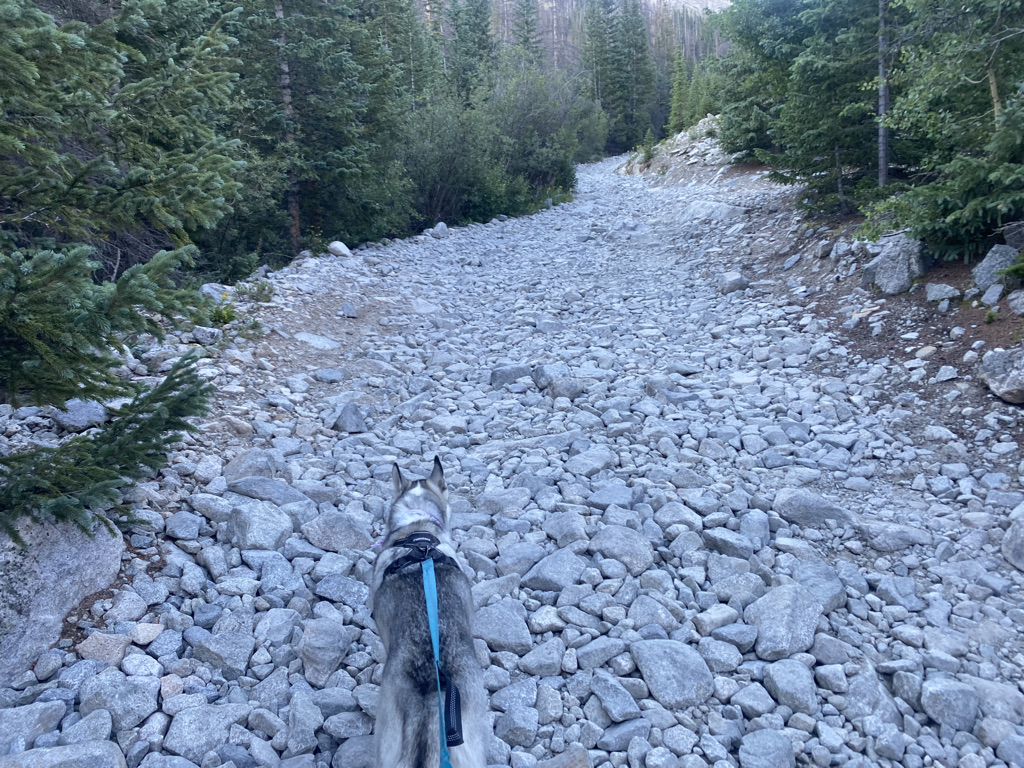
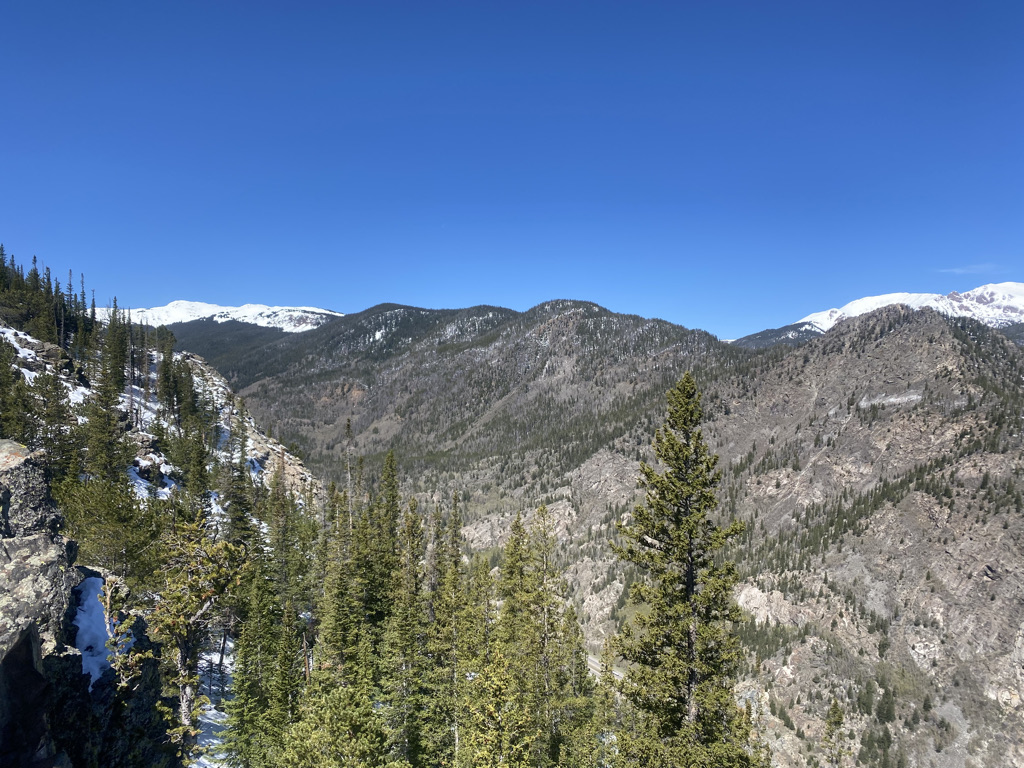
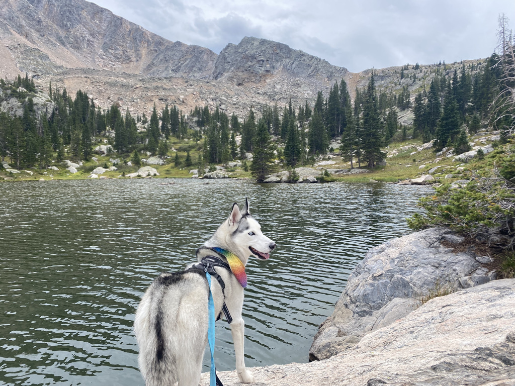
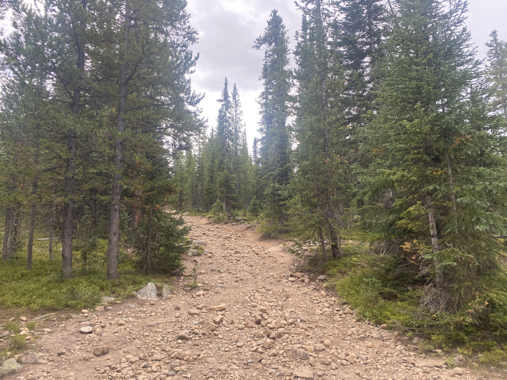
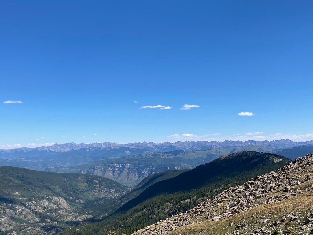
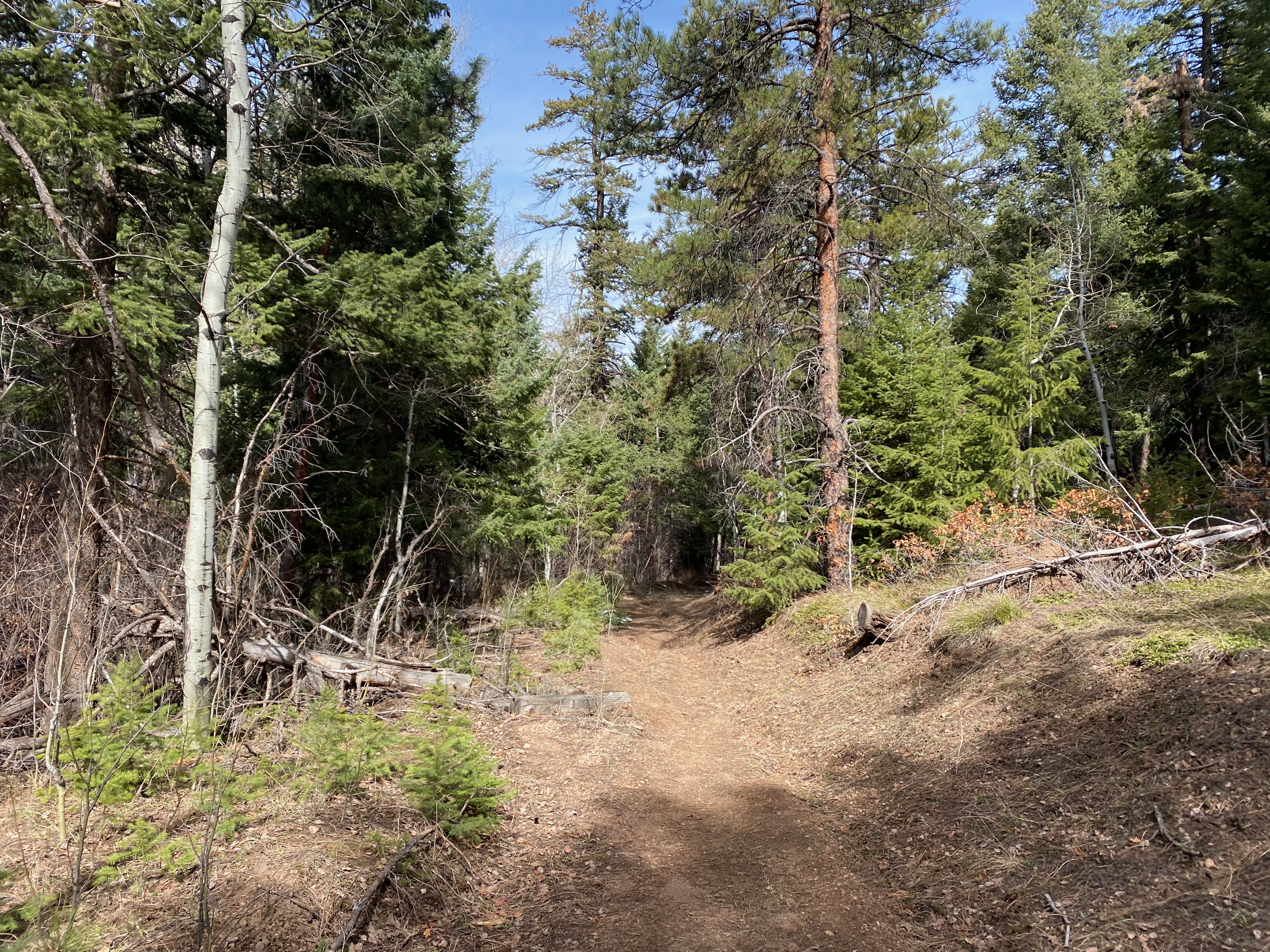
My other 90 minute fall hike was Panorama Point, just outside the small town of Kittridge.
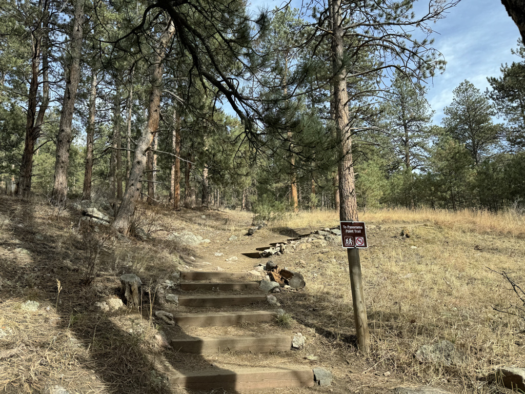
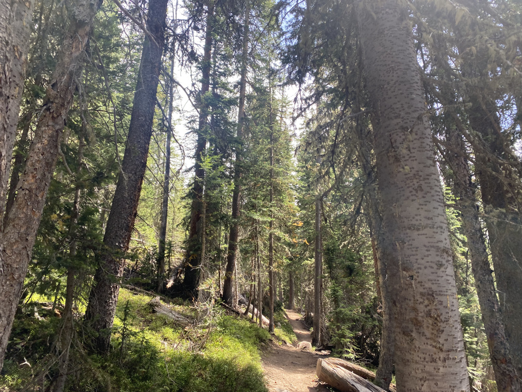
This hike has a round trip distance of just over three miles (≈ 5 km) and an elevation gain of 625 feet (190m). These hiking trails are actually only a few miles apart, so it is not surprising that they feel quite similar.

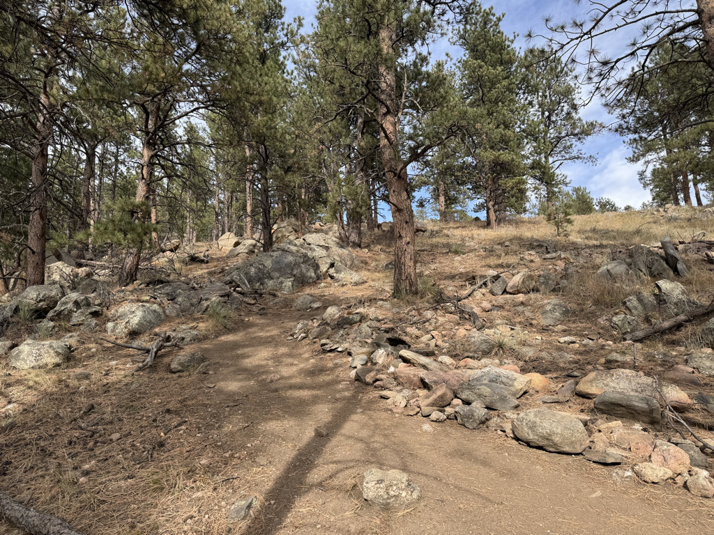
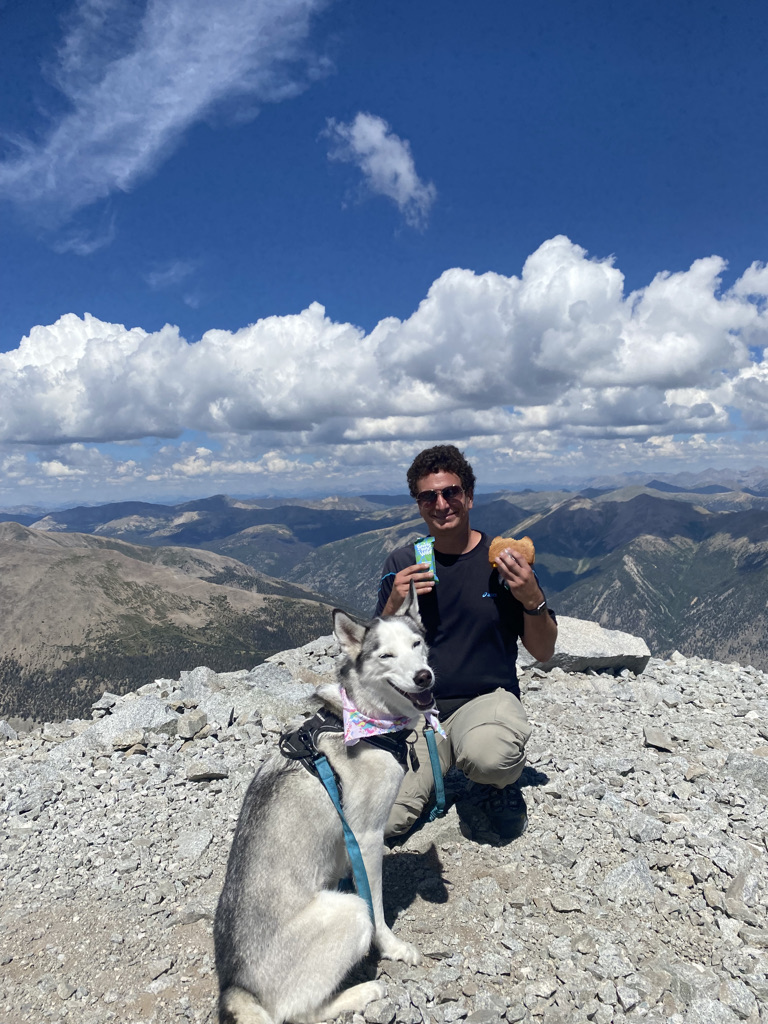
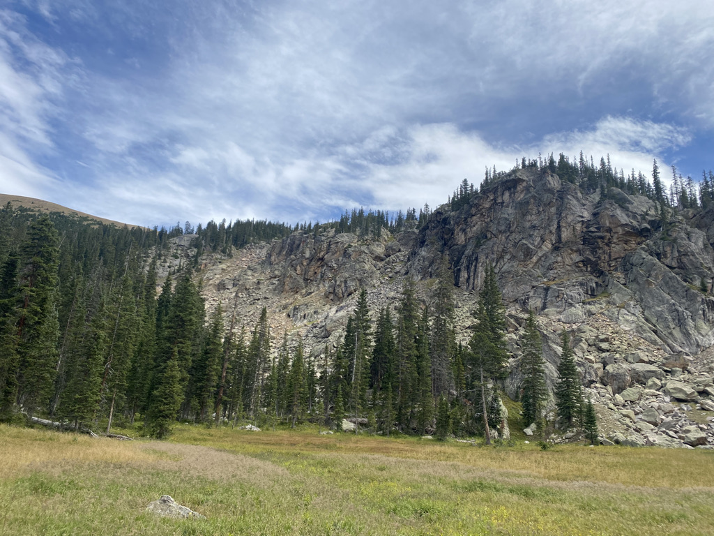
Panorama Point has an overlook of the town of Evergreen at the top.

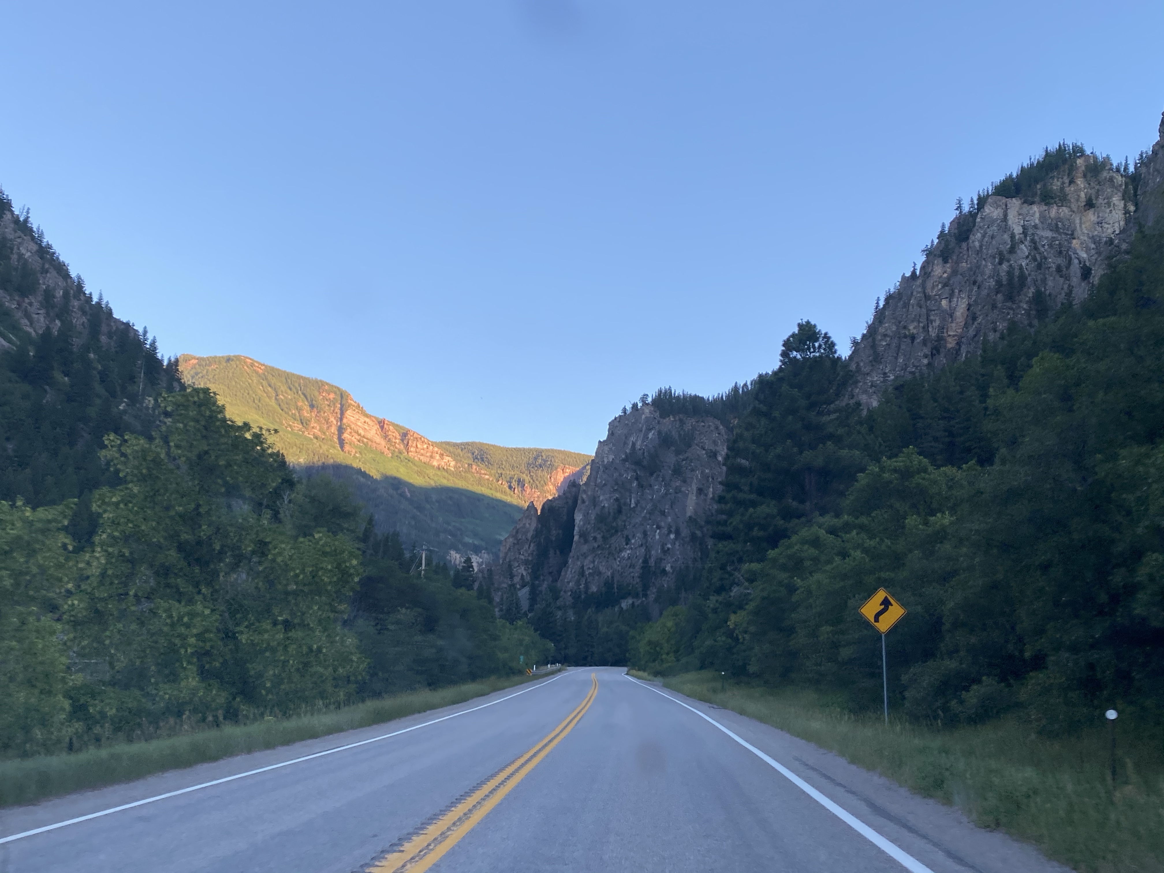
So, there are some slight differences, but both hikes take about an hour and a half and are about 45 minutes to drive to from downtown Denver.
This activity address two of the biggest shortcomings of “9-to-5” office jobs. Spending those hours doing work inside, whether it is in an office or remote, can limit one’s exposure to sunlight. Some studies have estimated that well over half of Americans are not getting sufficient vitamin D, which mostly comes from exposure to sunlight. Additionally, most of these jobs are sedentary, involving sitting at a computer all day long, which is certainly not helping with the obesity epidemic.
These 90 minute hikes offer an opportunity to get some sun, exercise, and even be a bit social in the middle of the day on a weekday, particularly in the spring and fall seasons. On hikes like these, there is even the potential to limit the amount of time spent out of contact to under two hours. Eating and working from a nearby restaurant made my time away from my computer, messages, etc. not too much more than a standard lunch hour.

Blackbird Cafe in Kittridge, CO
Of course, not everybody lives in a place with amazing short hikes nearby. The key is to be creative and work with what you do have around you to find habits that help correct the imbalances created by a less than ideal work setup. Hopefully, the time will come sooner rather than later when we’ll determine how a majority of people can be happy, healthy and provide value to the organizations they work for. Until then, I hope you can find your version of the 90 minute hike less than an hour from home.