Tag Archives: Cycling

Cycling Northern New England

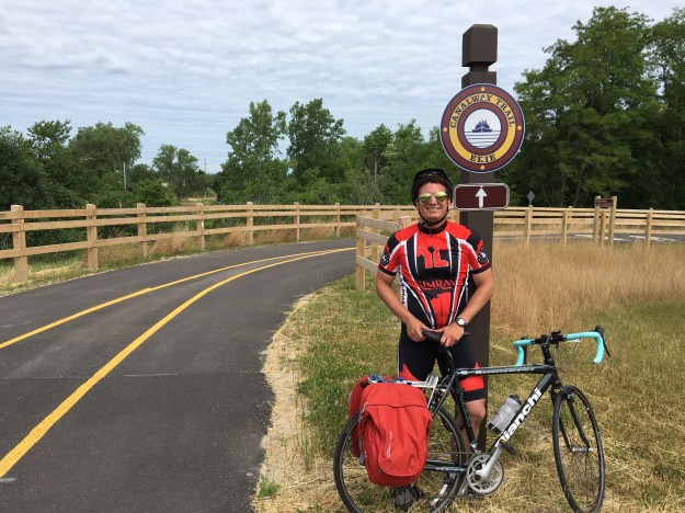
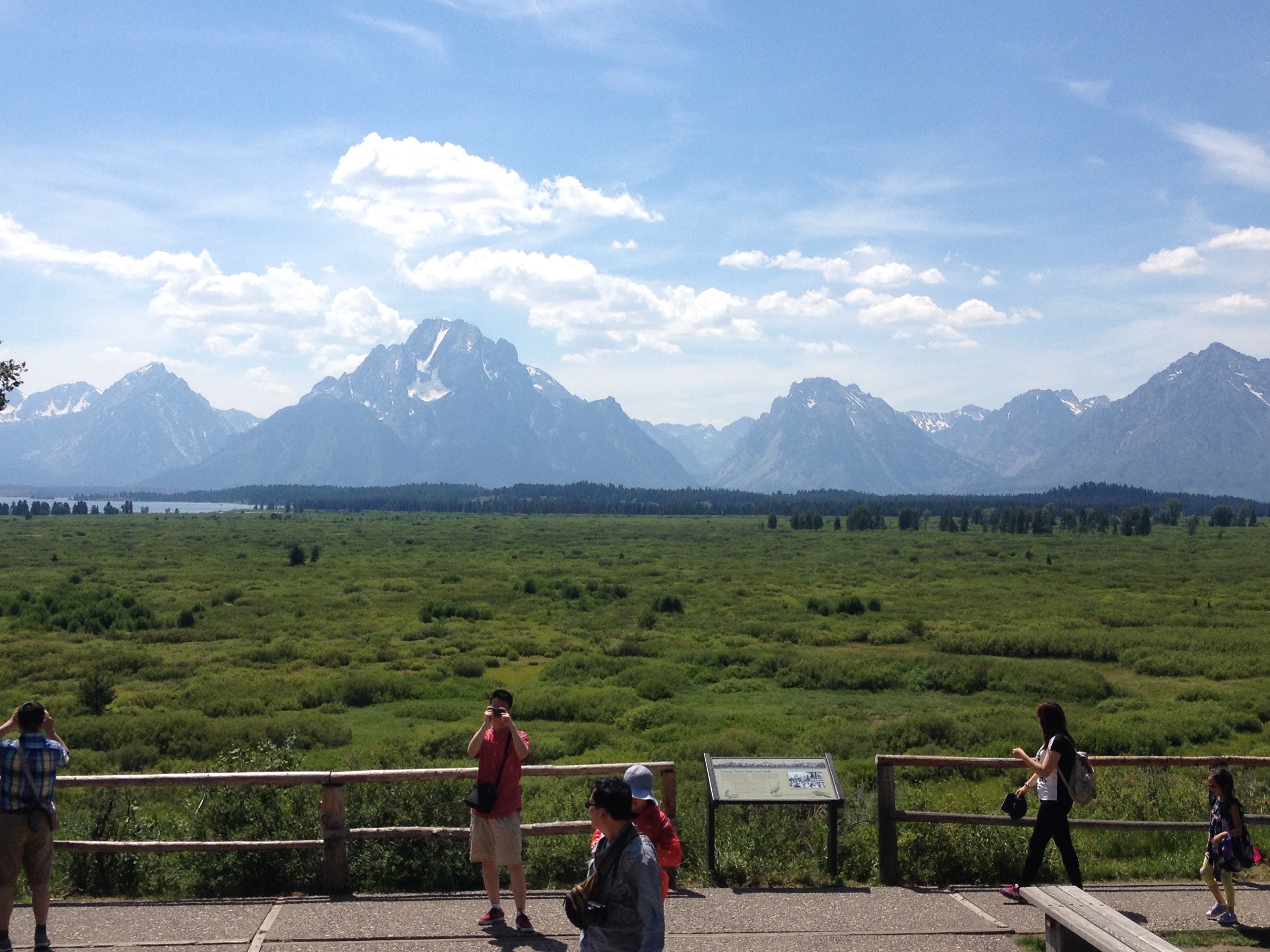
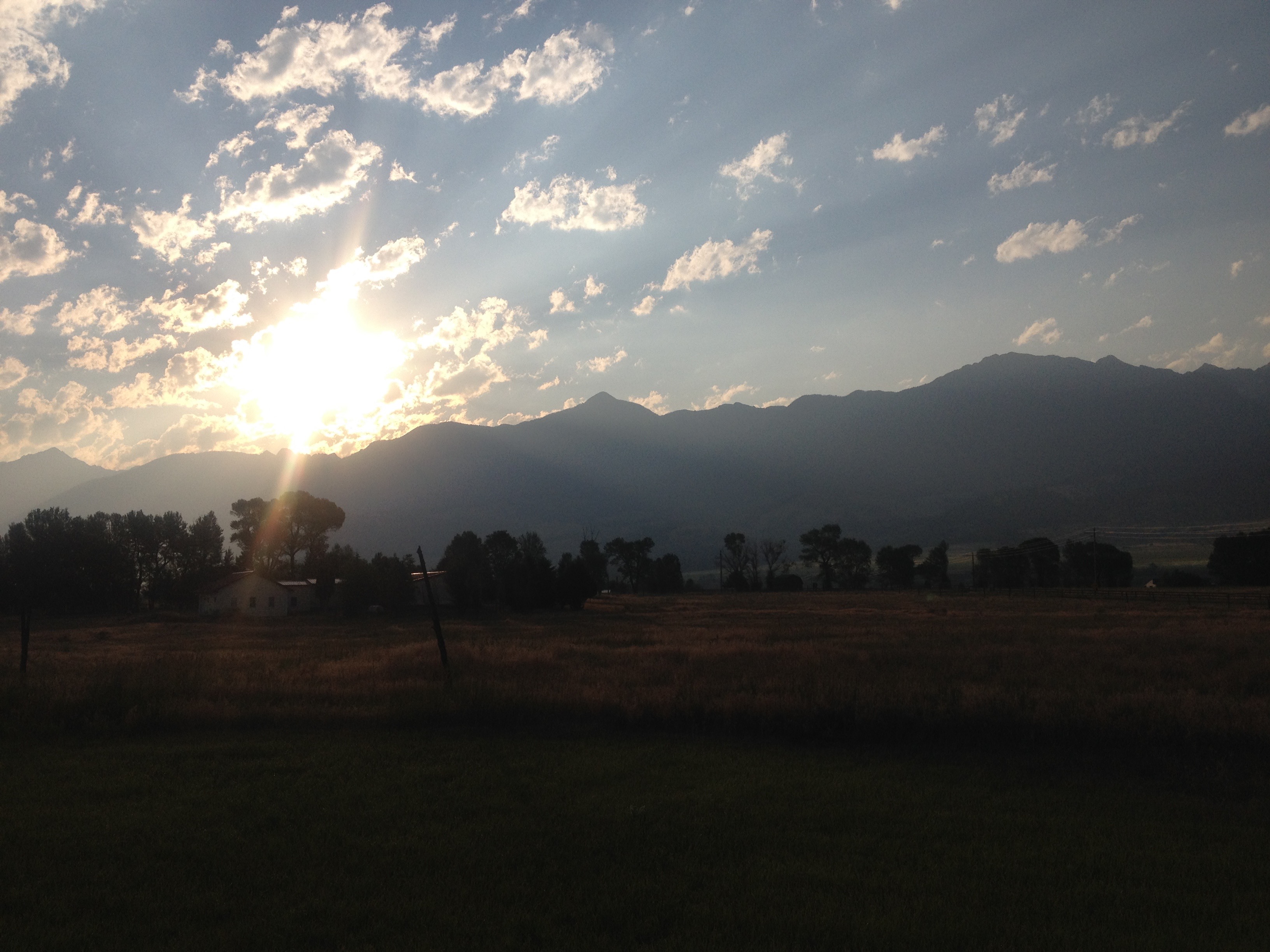
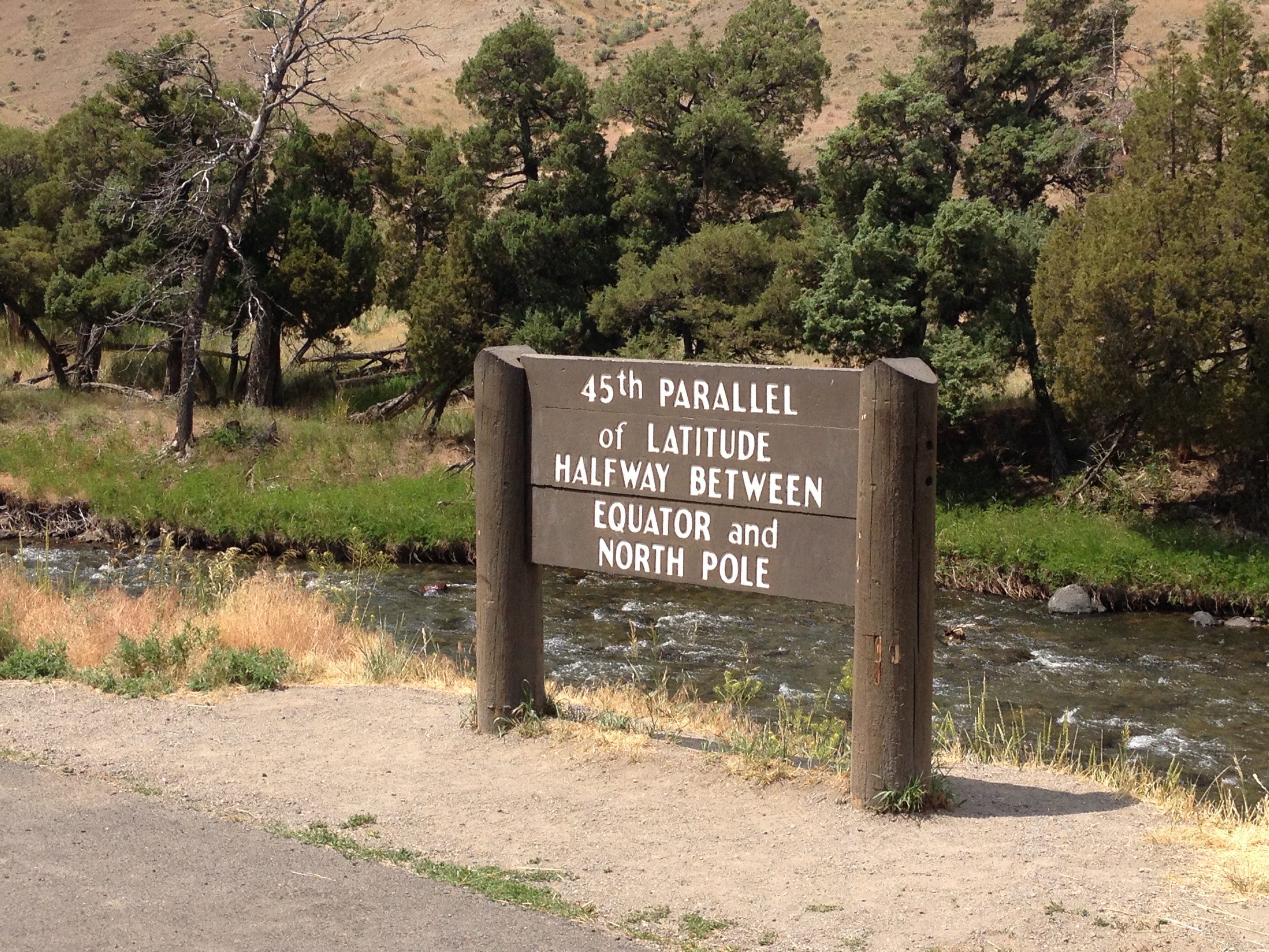
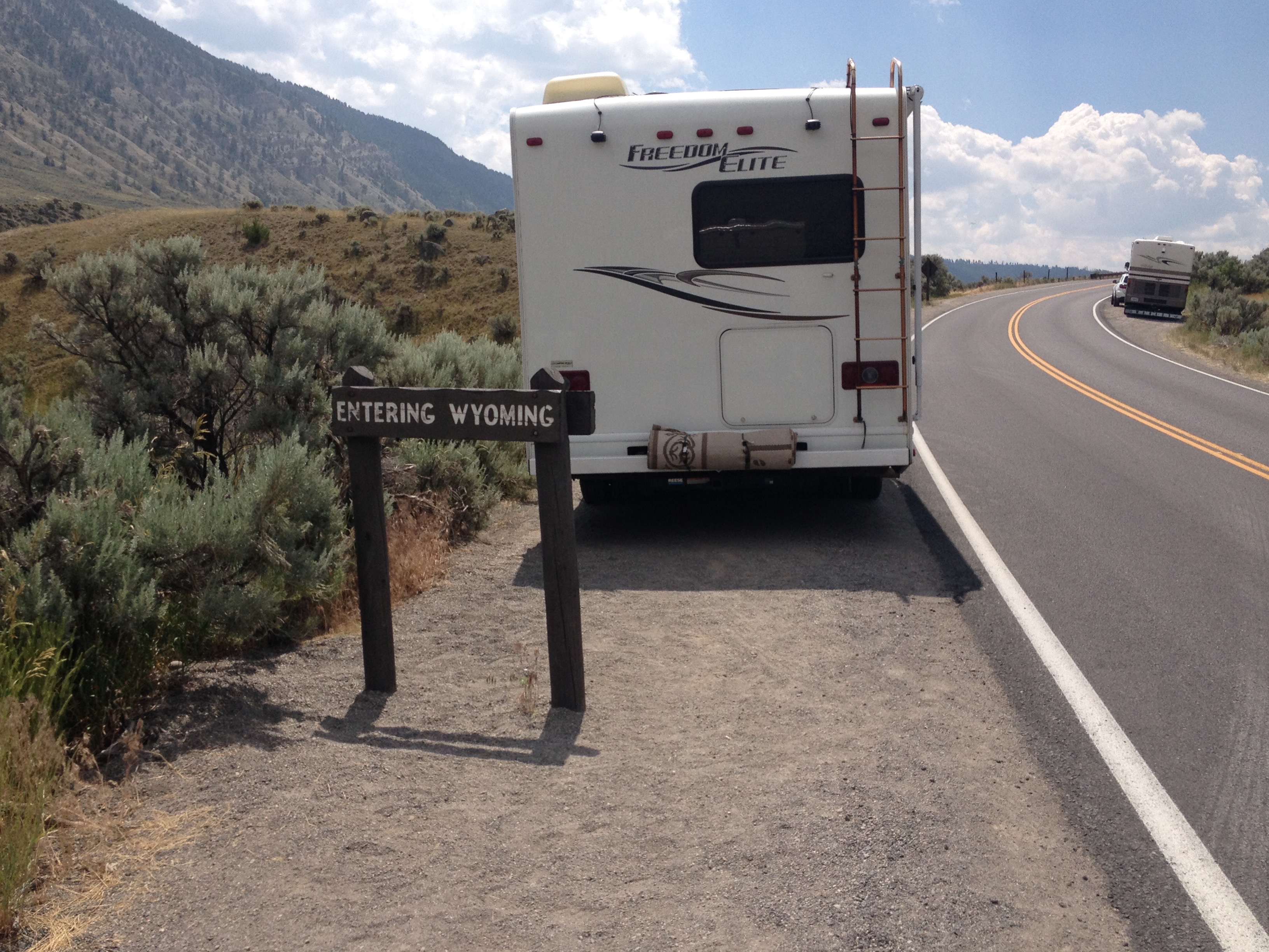
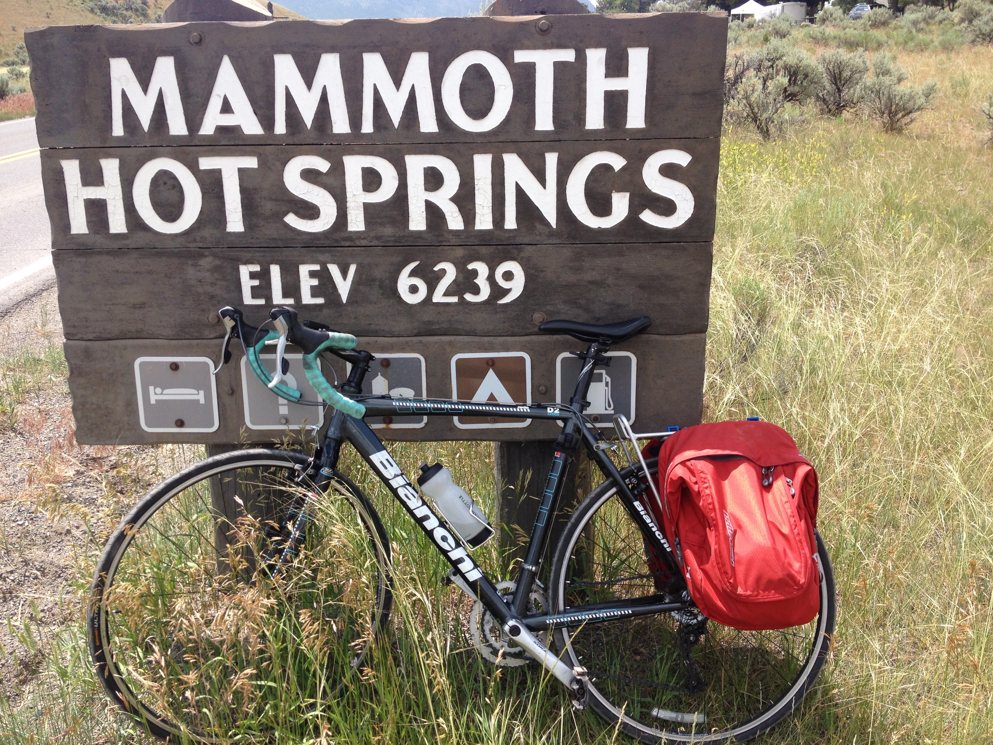
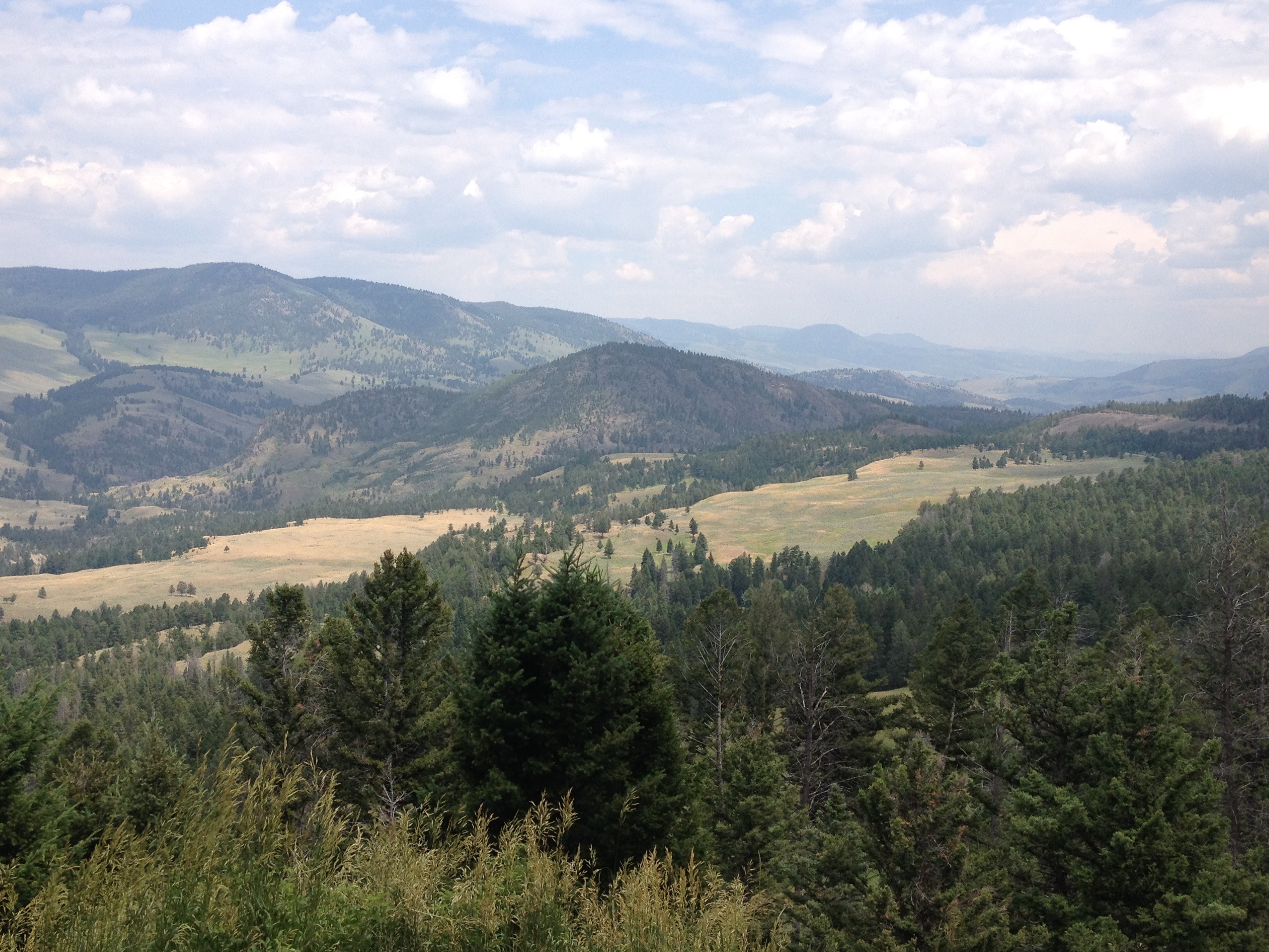
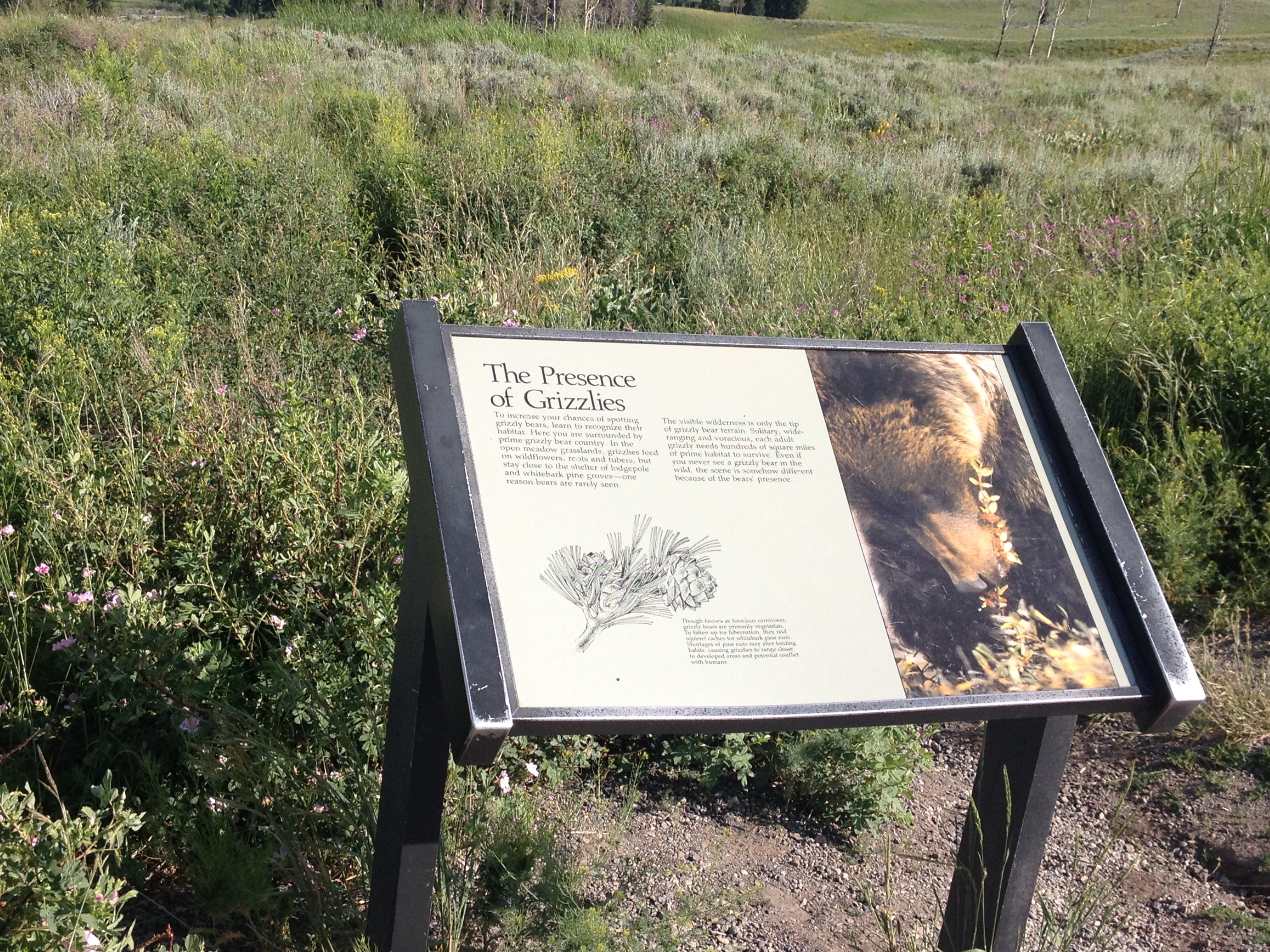
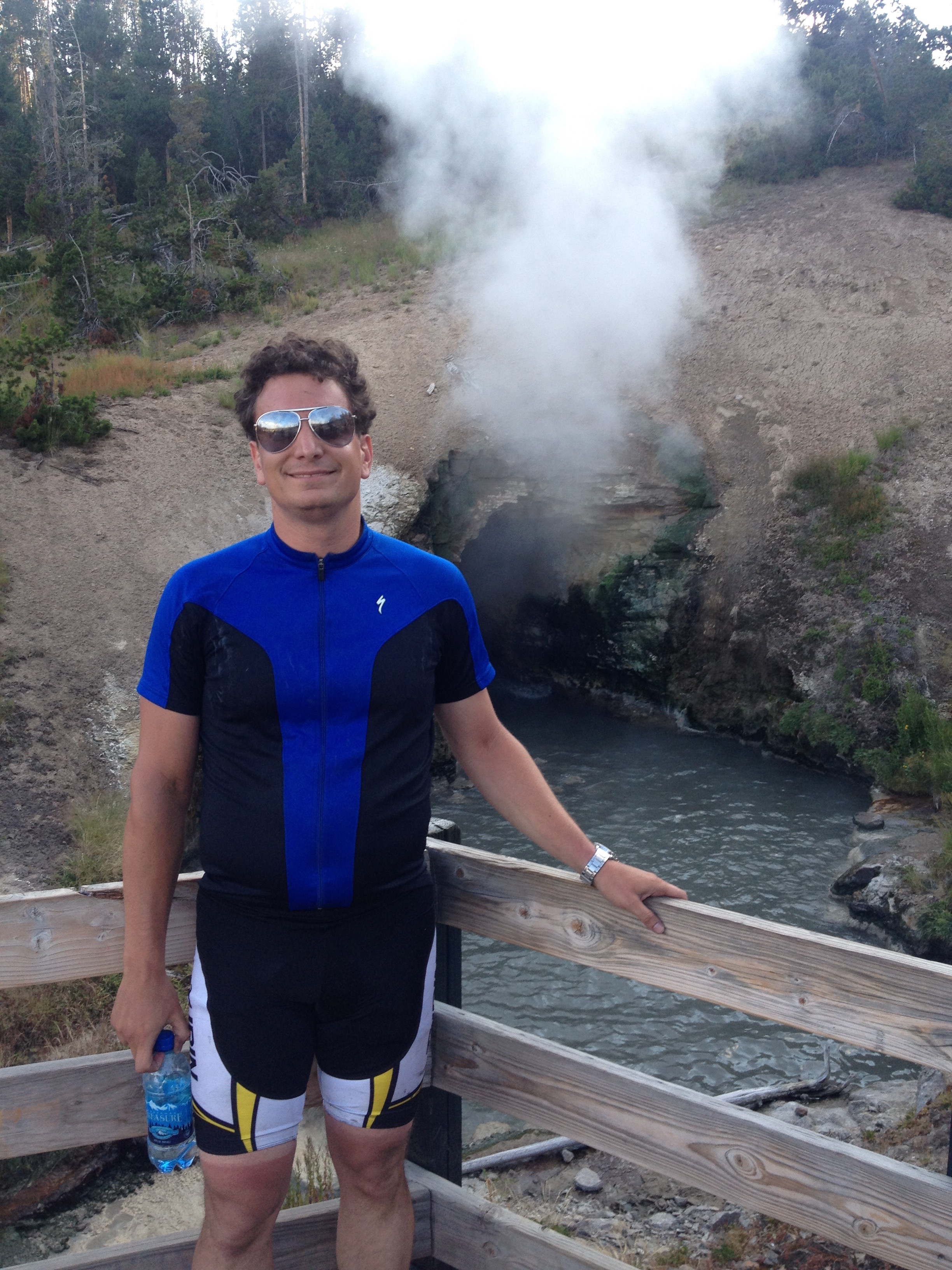
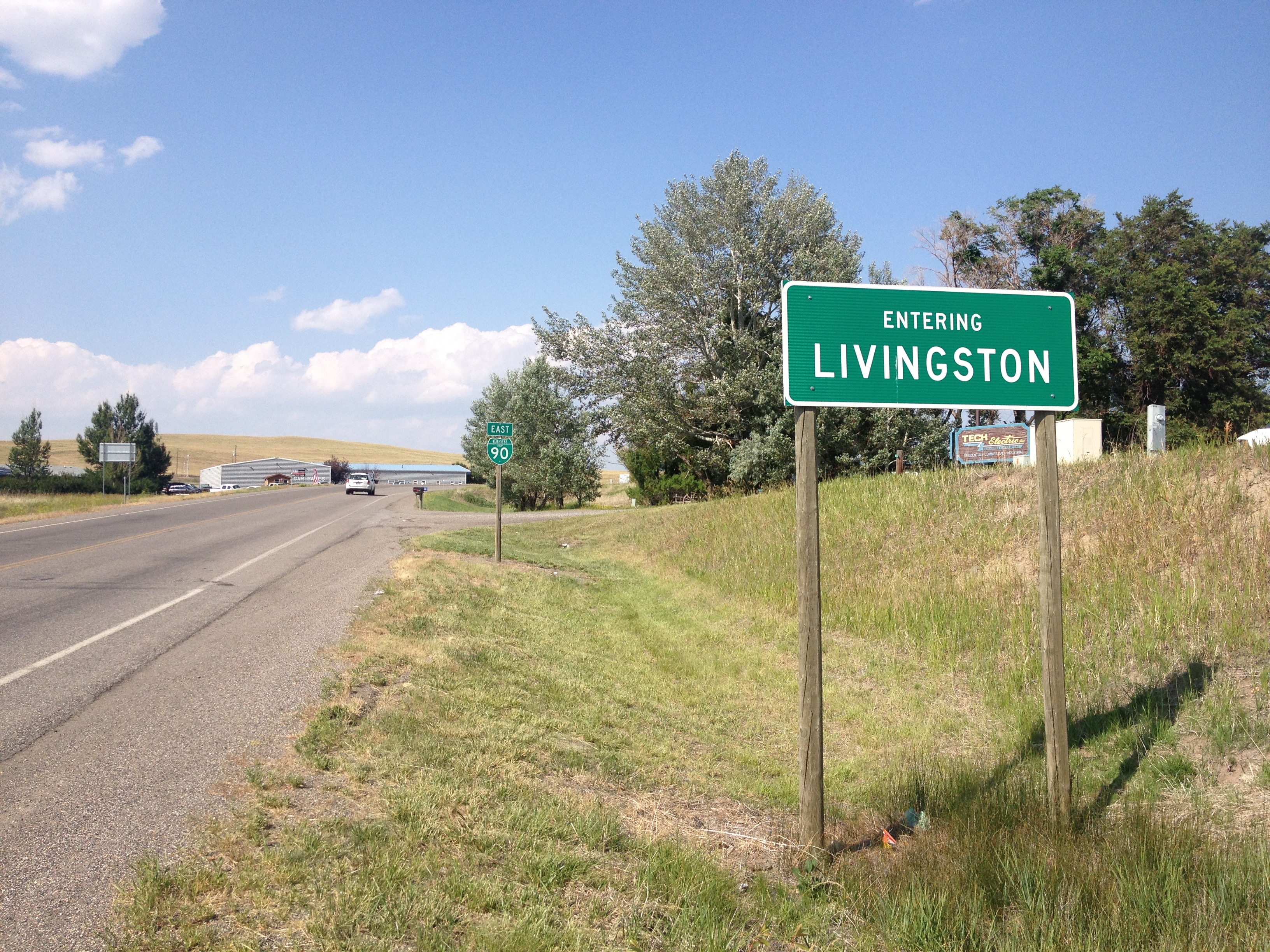
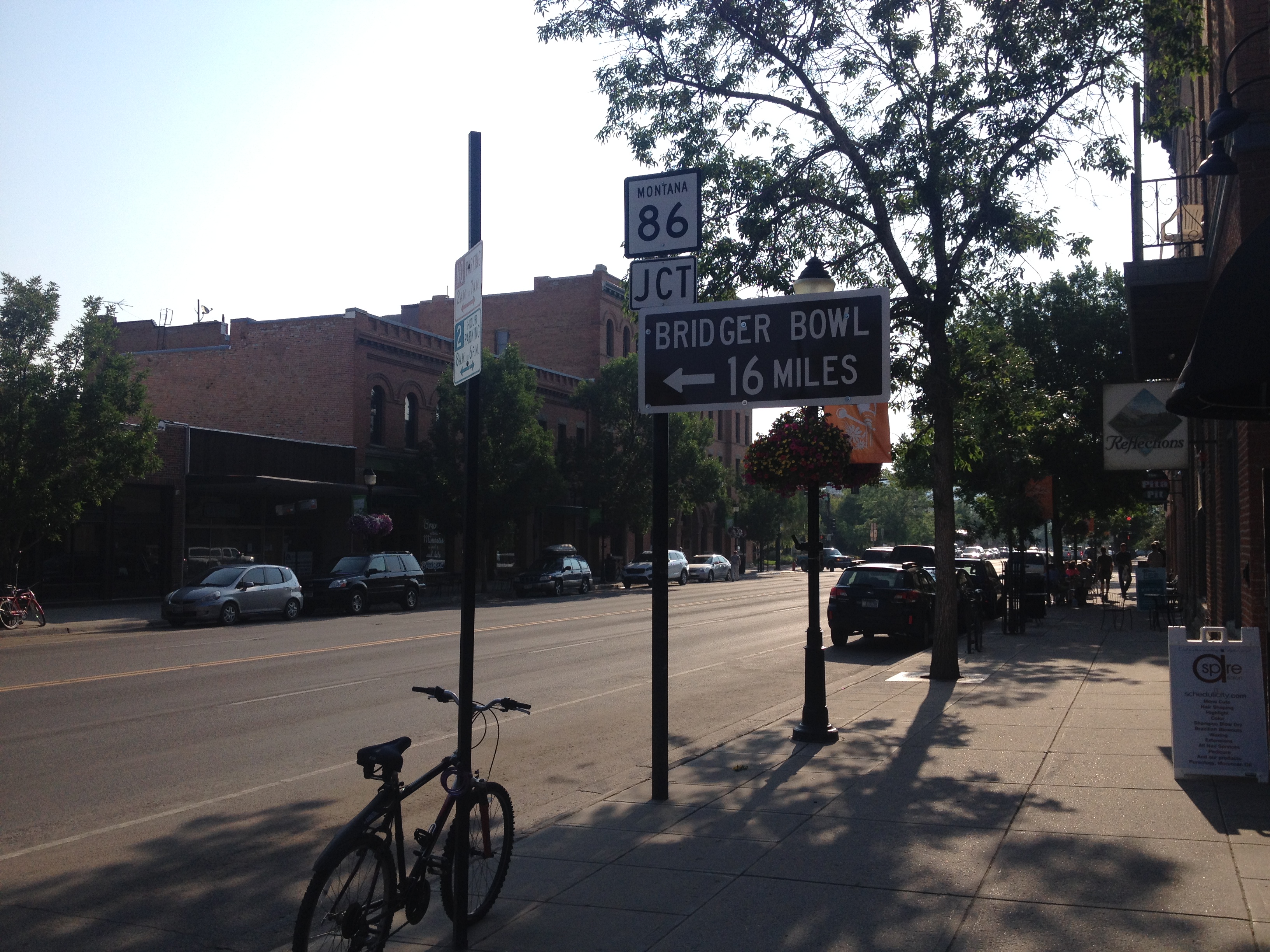
Selecting the best possible route can be a challenge on bike trips.  In an ideal situation, there would be a direct route, a road or a trail, safe for cycling, pleasant, providing a direct path from point A to point B, and conveniently jaunting by all of the point Cs that are of interest along the way.  In the sparsely populated West, there rarely is an ideal route, but there often is only one option.  I could not picture taking any route other than the standard cycling route when traveling from Portland, Oregon to Missoula, Montana.  When following one of the Adventure Cycling’s bike routes, the job of selecting the best possible route is already done, by experts with tons of experience bike touring.

Being in neither situation, we spent the better part of an hour looking over maps before settling on the ideal route from Greensboro, Vermont to Conway, New Hampshire.  Choosing a route in places like this can often be a matter of factoring in various considerations and determining how to manage priorities.  I’d predict that six different cycling groups would select at least four different routes for this particular ride.  Some people want to avoid adding extra miles to an already lengthy ride.  Others wish to avoid obstacles such as wind, hills, and towns with numerous stoplights.  Others still may prioritize seeing as many sights as possible, while there are probably some that just want to find the safest route.

We had imperfect information, as in we couldn’t find information such as whether or not certain small roads are paved, or whether roads like U.S. Highway 5 have a wide enough shoulder for cycling.  Still, we took kind of a balanced approach, and I believe the route we selected served us well.

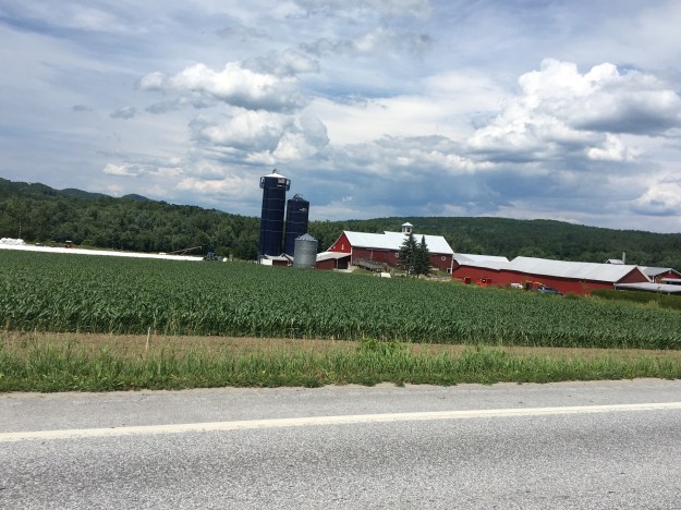
The first 45 miles of the ride were in Vermont.  On this first segment, I got what felt like the full Vermont experience, in a way I never could have had traveling by other means.

IMG_6540

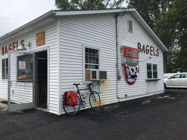
I stopped in one of those off the wall small town convenience shops that is sort of a grocery store and also sort of a cultural center.
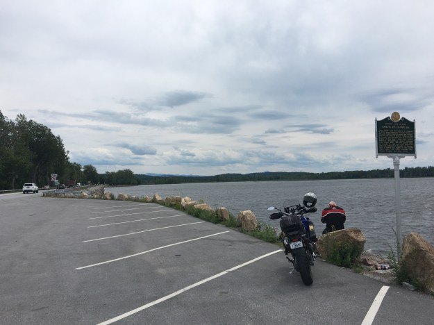
IMG_6541

I rode by lakes.

IMG_6546.jpg

Over some rolling hills.

Got to stop in one of those cheese and maple syrup shops with the arts and crafts and all.

We went by a couple of houses with interesting designs in their front yard that made me simply say, “That’s so Vermont”.  They screamed some sort of combination of people having a lot of time on their hands, and also looking for ways to express their individuality.

IMG_6556

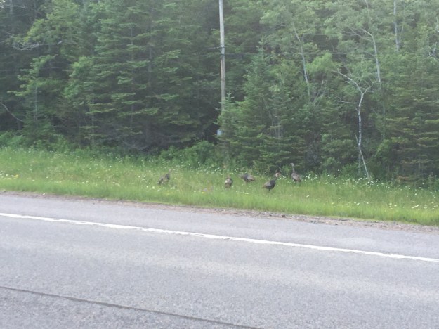
We even rode through a forest, along an unpaved road, where trees were being tapped for maple syrup.

IMG_6557

And finally, stopped in a quintessential small Vermont town, Peacham, settled in 1776, and even talked to some people in the cafe.

IMG_6559.jpg

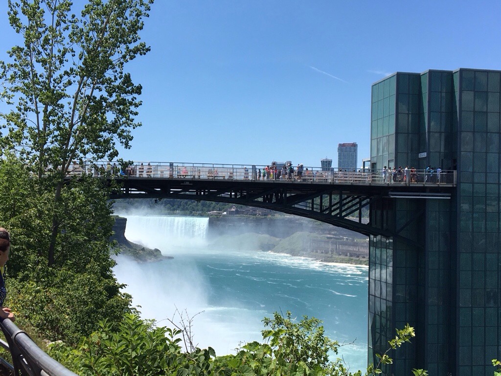
We took a little bridge over the Connecticut River, and, once again, I was disappointed not to see the gigantic Welcome to New Hampshire sign.

For the second day in a row, I crossed a major river, entered a new state, and found myself feeling like I was in a completely different place, with different types of people with different attitudes.  Before taking on the major climbs I knew lied ahead of me, I stopped at the Walmart in Woodsville to get water and a quick snack.  I immediately heard different accents.  A stick of beef jerky and a candy bar cost me $1.79, with no sales tax!

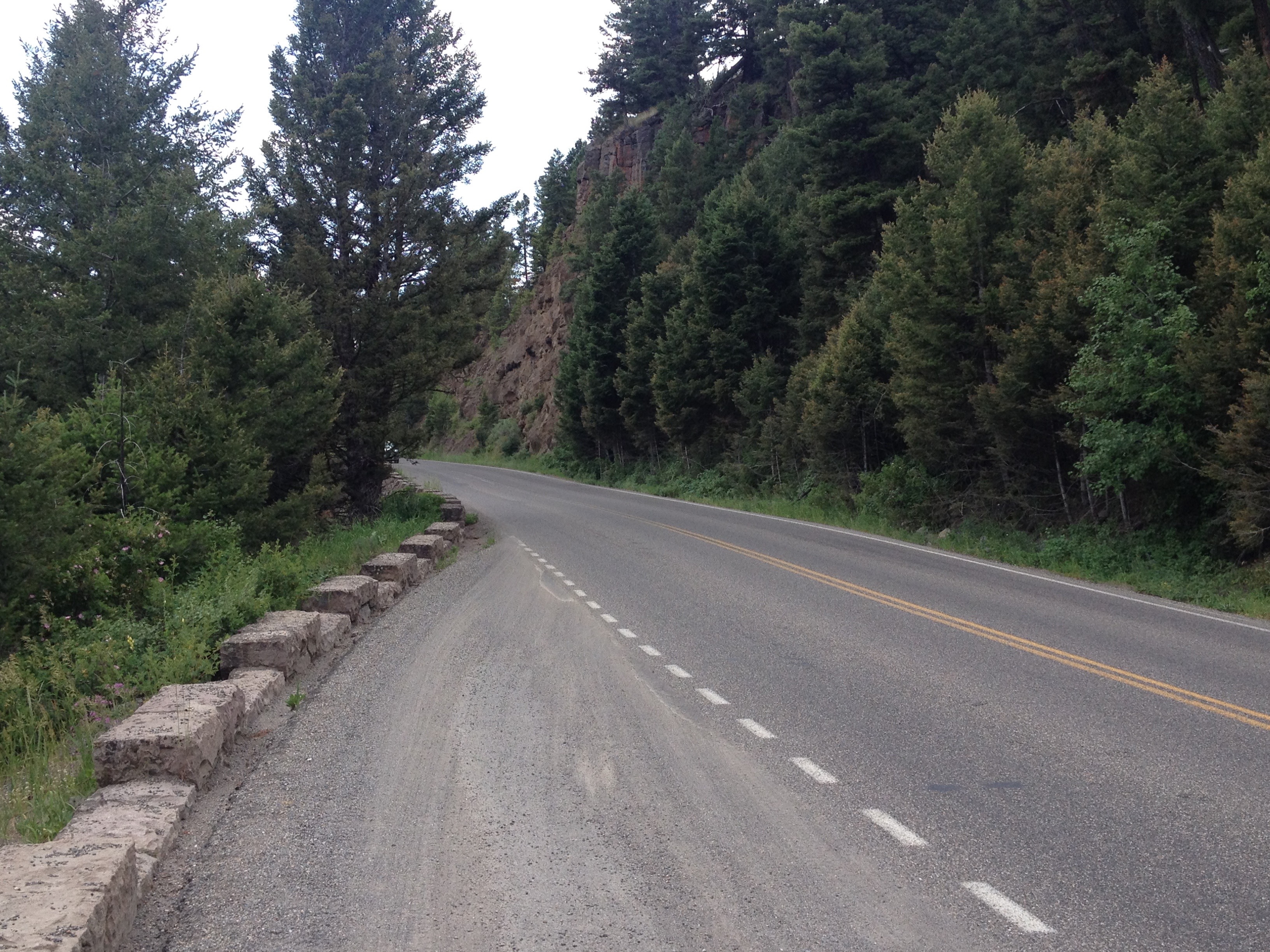
The first climb began right away.  In fact, it began before even leaving town!  We saw a couple of covered bridges (Clay thought we’d see them in Vermont, but at least we finally saw one here in New Hampshire), and a home with a pet pig in the yard, and finally, entered the White Mountain National Forest.

IMG_6570.jpg

The climb was not particularly steep.  I’ve been in plenty of situations where I’ve had to climb steeper hills, achieving more elevation gain over a shorter distance.  But, it was long, lasting nearly 17 miles!  This made the climb quite exhausting.

IMG_6574IMG_6580

It felt like I was following a river called the “Lost River” the entire duration of the climb, on both the uphill and downhill sides.

IMG_6569.jpg

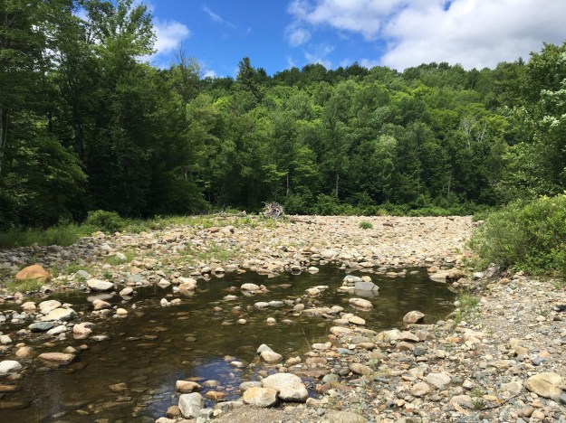
At this point, I may not have been as mentally sharp as I typically am, due to physical exhaustion.  But, this river, with its tan-ish hue felt like it was with me for the entire ride between Woodsville and Lincoln.

At Lincoln, I took another break.  Even though I had descended a bit, probably around 1000 feet from the summit of my last climb, I was still feeling delirious.  I first confused the tiny town of Woodstock on the other side of Interstate 93 for Lincoln itself, then it took me a while to find the place where the rest of my party had already stopped for lunch.  Exhausted and delirious, I entered the room and immediately exclaimed, “that ride was like a college affair gone wrong, beautiful, exhausting, and now I am just confused”.

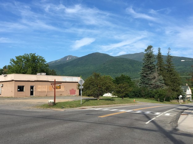
Lincoln is a super touristy town, which I did not expect.  There is the typical arrangement of hotels, pizza shops, ice cream stands, souvenir shops, and outdoor outfitters I’ve come to expect from any town like this.  Unlike other tourist hot spots I’ve been to, everywhere I looked I saw outfitters offering Moose tours. Some of them even offered something like a 97% guarantee of a Moose spotting!  This sounds incredible given that I have always known Moose to be elusive and hard to find.

IMG_6585.jpg

In fact, as soon as I left town, to take on another climb, back in the National Forest, and to even higher heights, I saw a sign I’ve never seen before, urging motorists to be on the lookout for Moose.  So, well, I get the point, there are a lot of Moose here.

I geared myself up for this climb more than the last one.  So, while it was likely more challenging than the first climb, I felt more comfortable, as I had set my expectations for something even crazier than this.  I still took a couple of stops to take in the scenery, as I personally prefer stopping on climbs rather than descents.

It was the exhausting final mile of climbing up Kancamagus Pass.  I needed something, anything, to divert my attention from the fatigue that had come over me.  In my head, the phrase, “Live Free or Die”, New Hampshire’s State motto, played inside my head, over and over again, to the exact rhythm of my pedal strokes.  I did not do this on purpose.  It’s what just popped in my head, as I was just in New Hampshire, and the activity I was doing, climbing on one of New England’s most iconic roads, made me think of both living free and dying, at the same time.  But, I have been told that repeating a phrase in your head is an effective way to manage challenges like this.

IMG_6599.jpg

The descent scared me.  It scared me before I even made it to the top of the pass!

IMG_6603

I had looked it up prior to leaving Lincoln.  I knew that Kancamagus Pass was at 2855 feet in elevation, and Conway, our destination for the evening was at 465 feet.  The descent was  almost 2400 feet!  But, I also made a slight miscalculation when determining both how long my ride for the day and how frightening the descent would be.  While delirious, in Lincoln, my bike computer registered at 73 miles for the day.  I was told that the ride to Conway was 37 miles.  Normally, I am good at math, but for some reason I spent most of the ride thinking that my total ride would be 100 miles, even though 73 + 37 is 110.  So, when I reached the top, I thought I had only 11 miles to go (instead of 21), but also thought I would be descending a lot faster.

IMG_6606

The last part of the ride, a slow descent into Conway dragged on forever. I repeatedly saw signs indicating what highway I was on, New Hampshire route 112, one of New England’s most challenging and iconic cycling roads.  It started to feel like a victory lap.  Unlike at the Adirondacks, where I looked back upon what I had just “conquered”, at the end of my White Mountains ride, I looked forward, seeing the signs as a reminder of what I had just achieved.

The end of the ride was slowed down by one final annoyance, periodic poor road conditions, causing me not to get into Conway until nearly sundown.  Bumpy sections of roads like this are another piece of information that cannot be obtained while looking at maps and selecting routes.  Over 100 miles into a ride, these bumps became most unwelcome.  They offer the poor choice of either putting more pain onto my butt in the sitting position or relying on my exhausted legs to pull me out of the saddle.

Even had I known this, I still would have selected more or less the same route.  Today was a success.  It was among the most physically challenging rides I have ever done.  I also felt that we had successfully solved the riddle of route selection for optimal cycling experience.

Cycling Day #4: Out of Gas

A decade and a half ago, popstar Christina Agulera, recalling a situation that most of us have faced at some point in our lives, sang “My body’s saying let’s go, but my heart is saying no.”  This morning’s situation was the exact opposite!  My heart wanted to continue riding, and soak in every experience that I could out of this trip.  But, my body, soar after three straight days of 100+ miles of riding (including yesterday’s climbs through the Adirondacks), did not feel like going any farther.

Had I decided not to ride today, I would have cheated myself out of an experience, that being day 4.  I have two previous experiences bike touring.  One, in graduate school, was a three day ride across the State of Wisconsin.  The other, last summer’s ride from Bozeman, Montana to Jackson, Wyoming, was also a three-day ride.  This day would be my first day 4, and regardless of what amount of pain I felt, I had to have this experience.

The ride started northeastward out of Lake Placid, with a little bit of a climb.  This was followed by a descent, which follows the Ausible River by Whiteface Mountain Ski Resort, and several waterfalls.

A strange thing happens when the human body is this worn out, but is forced to start going anyways.  The first few miles, or first 15 minutes or so, are kind of rough.  In particular, my legs did not feel as if they had anything left in them.  After 15 minutes, the resistance abated.  It felt like my body finally, and begrudgingly, agreed to tap some kind of alternate energy source.  For my own sake, I hope this energy source is fat reserves rather than muscle tissue.

The pain did not abate.  Sometimes the worst pain one experiences when cycling long distances is not muscle strain in the quadriceps, calves, or hamstrings.  Due to the long periods of time spent in riding position, other ares, particularly the neck and shoulders, often feel the worst.  In these situations, a little bit of Advil can help.  I usually do not advocate turning to pain medication, or any other kind of medication just to avoid a tough situation.  I even lament how many of us are dependent on caffeine to get through the average Thursday.  But, at least for me, eight hours a day hunched over a bicycle counts as that extreme situation where one can partake in pain medication without it becoming a regular occurrence.

IMG_6496.jpg

The first stop of the day, early on, was in a town called Wilmington.  This was an important stop for me, as it kind of represents the end of the Adirondacks.  On trips like this, I tend to spend well over 90% of my time looking forward, to the next destination, to the next activity, and to the next challenge.  In Wilmington, though, I found myself gazing backwards, back at the mountain range I had just “conquered”.  I have now already accomplished something.  Despite having significantly more distance in front of me, and some more amazing places to go, I’ve already had an amazing experience, one where I biked far greater distance than I have ever had before, and seen some amazing places I’ve never been to before.

The next segment of the ride followed back roads farther northeastwards towards Plattsburgh, a town along Lake Champlain.  Forests gave way to farmland, and finally town.

It ended up being a bit harder than I had anticipated to get across Lake Champlain.  First, I hit a wall.  It was as I got into town, just over fifty miles, and only about three hours, into my ride.  I was probably still quite exhausted from the previous three days.

IMG_6503.jpg

Then, the last several miles to get to the ferry ended up being more challenging than expected.  To get to the ferry from town, one must follow a trail along the Cumberland Head Peninsula that starts out heading East, but turns towards the South.  In this case, that was straight into the wind, the only strong headwind I had faced.  Although the trail was flat, the combination of wind and fatigue meant I could barely maintain a speed of ten miles per hour for the very last few miles of my ride in New York State.  I had literally run out of gas.

IMG_6505.jpg

Perhaps my biggest disappointment of the day was that when I arrived on the other side of the lake, from the ferry, there was no sign welcoming me to Vermont.  There was only this Fish and Wildlife Department sign, which I used as a proxy.

IMG_6506.jpg

The other side of Lake Champlain, Vermont, is a very different place.  The attitudes of the people could not be any more different.  In Upstate New York, I was told that Texas has a better image than Long Island.  When I first got into Vermont, I stopped at a local bagel shop and grabbed a sandwich.  I overheard a conversation where one of the locals mentioned “extreme political differences” with Texas.

IMG_6507

I doubt that these difference with Texas corespond to any kind of affinity for the New York metropolitan area.

The family that hosted us that night in Greensboro told us that the town, and probably most of the area, was quite homogenous- politically.  They recommended that anyone who had a differing opinion “bite their tongue”.

IMG_6508

To me, though, Vermont felt like the reciprocal of Texas.  Current political considerations put the two places at odds with each other.  However, as soon as I got into Vermont, I saw signs and heard rhetoric that stressed individuality, and Vermont’s “Independence”, both current and historical.  This felt to me, honestly, reminiscent of Texas.

I decided to take the afternoon “off”, which meant returning to my backup plan; riding in the van that was following Clay’s route.  I came into this ride knowing that I would not be able to keep up with Clay’s pace, often well over 100 miles per day, for the entire ride.  Before booking my flights and such to join on this trip, I made sure that I would have a backup plan when this moment of utter fatigue would eventually set in.  I figured this would be the best time to rest, as the weather turned a bit questionable (that afternoon, it became windier, and it would eventually rain in the evening).

Riding in the van also allowed me to see a couple of additional sites, most notably the Ben and Jerry’s Ice Cream factory, which is not along the bike route, but not too far out of the way.

One thing I was told to expect from Northern Vermont, was to see a lot of red barns.  After all, the quintessential Vermont image is of rolling hills, possibly cheese or ice cream, and a red barn.

IMG_6513.jpg

During my time in Vermont, which included both the time in the van today, and the time I would spend on my bicycle the next day (before reaching New Hampshire), I would see a total of 80 barns!  During my entire time in New York State, a much longer distance from Niagara to Plattsburgh, I saw only 54.

IMG_6533.jpg

Clay arrived at our destination literally minutes before the sky opened up, and started to pour.  Had I continued cycling that day, not only would I have hit a large amount of rain, I likely would have slowed Clay down, causing him to unnecessarily get wet.  This was the last time I had to invoke my back-up plan, but, based on weather considerations, the opportunity to take the Ben and Jerry’s factory tour, and this dirt road, I think I made the right choice.

100 Miles of Rolling Hills Through Central New York

It’s the quintessential bike tour stop.  A small town diner.  A picture of the bicycle in front of it, the more panniers the better.  Highly decorated walls, with an old fashion sort of flare to it.  And, of course, the existential, thought filled, photo.  It feels like I am having that experience every long distance cyclist needs to have.  Of the many stories of bike travel I have read, particularly in the Adventure Cycling Association’s monthly newsletter, it always seems like there is some sort of experience at a small town diner like this.

I am not even sure, at this point in time, whether or not I am indeed following the Adventure Cycling Association’s Northern Tier route. I know it is somewhere close to here, in Wolcott, NY, a town I would pronounce incorrectly for the entire duration of the trip. But, I am still unsure of just how odd I look at this point in time.

IMG_6408

We rolled out of town on some quiet roads that were significantly hillier than the prior day’s ride.  The entire days’ ride would in some ways resemble this, up and down these types of rolling hills that dominate the landscape of Central New York.  Over the course of the next twenty or so miles (sometimes the brain works slower when the body is consistently physically engaged like this), I processed the interactions I had with the locals, both at the diner this morning and over the course of the day yesterday.   It suddenly occurred to me that my Long Island accent, which I had originally thought would be an asset while interacting with people in this area, is actually a liability.

It’s a familiar story that plays out in so many other states with large metropolitan areas, but also large rural/small town swaths.  People from “downstate”, which mainly means New York City, Long Island, and Westchester County, dominate state politics, and call anything north of Poughkeepsie “upstate” despite its position well south of the center of the state.  This can sometimes lead to resentment from those in other parts of the state that feel neglected or even abused.

IMG_6413

The people at the hot dog stand in Fulton, NY, our next stop, were quite friendly.  They gave us the water we needed to refill our water bottles, and even gave us a couple of hot dogs to help us on our journey.  They also largely confirmed my speculation about my Long Island accent, and how they feel about the region I grew up in.  The discussion focused on state politics.  By far the most common political sign I encountered throughout my time in the state of New York were yard signs advocating the repeal of something called the NY Safe Act.  A rough map of which counties have resolved to oppose this act highlights a clear divide between the New York metropolitan area and the rest of the state!

Green-Star-Map-05-Feb-14

My friend Clay is originally from Texas.  Out of curiosity, I asked the two ladies at the hot dog stand which location, Long Island or Texas, would have a generally more positive reputation in this town.  They quietly giggled at me and told me “Texas wins”.

I’ve always had a strong interest in road networks.  I’ve actually memorized the routes of many interstate and U.S. highways.  People will often open up a map, name two roads, and see if I can guess where those two roads intersect.  I don’t have perfect memory, like that zip code guy that used to hang out in downtown Boulder.  But, knowing my road network, I knew getting to Interstate 81, in Central Square, NY, directly north of Syracuse, felt like a milestone to me. It meant that I was roughly halfway across the state.

IMG_6414

When I was 12 years old, about a year after my family moved from New York to Chicago, I made this mental connection between people talking about “going upstate” back in New York, and people from the Chicago area heading to Wisconsin.  While there are plenty of parallels, the analogy was undoubtedly an oversimplification.  After crossing I-81, I recalled that I was now within a several hour drive of New York City.  Before even hitting the Adirondacks, I saw tons of amazing places in this part of New York.

I was also fortunate to get to ride on some quieter roads. We took Moose River Road northeast out of Booneville to connect to state highway 28, which would lead to our evening’s destination: Old Forge.

IMG_6434

This was one of my favorite parts of today’s ride; 17 quiet miles through dense forests, going over periodic hills and passing by groups of vacation homes tucked away in the woods.  It feels like the kind of place where a lot of happy things happen.  It made me think of people having their weekend away from the crowds.  It made me think of sixth graders at their family vacation home having their first kiss down by the lake.  It made me think of people actually talking to one another as opposed to staring at phones, tablets, and other devices.

IMG_6437

The final ten miles of my ride were along highway 28.  This was kind of the opposite experience.  It was not quiet at all.  But, like many of the roads I had been biking on throughout the state of New York, it had a wide shoulder for biking.  Additionally, it had periodic signs labeling the road as a bike route.  I also saw some wild turkey- not too exotic, but something I do not see on a day-to-day basis.

IMG_6440

I arrived in Old Forge just before sundown.  We stayed at a hotel called Water’s Edge Inn, which, as its name suggests is next to a lake.

We sat by the lake, watching nightfall gradually creep up on us, reflecting on the experiences of the day.  I had now ridden my bike over 100 miles two days in row for the first time ever.  We were covering quite a lot of ground, but I had started wishing I could spend a little more time in some of these places, particularly Old Forge, a town with a lot of activities and natural scenery, and a town I would barely be in for 12 hours, 7 of which would be sleeping.  Still, I was enjoying myself, and finally broadening my view of what this entity known as New York really is; beyond the City and Long Island where I spent my childhood.

My First Long Day of Cycling

IMG_6357

I woke up in the morning with a good feeling.  It wasn’t a premonition regarding something specific, like when people set out to run a triathlon or take a key exam and get this feeling of confidence that they are going to achieve what they set out to do.  After all, this is a bike journey.  Accomplishment does not come at the end of this day.  It comes at the end of the last day, five days later, when I reach the coast of Maine after six days of riding.

The feeling I started the day with was just a general positive vibe, that I knew I was going to have a good day.  It is a Tuesday, a day where many people will simply be grinding out their daily lives.  For tragically many people, this means stressing out at jobs that do not fulfill them.  I get to ride my bicycle, spend the day outside, and see places I have never seen before.  I must be thankful for that.

On bike journeys there are plenty of things that can go wrong.  There’s always the possibility of unpleasant weather, unexpected storms, or an unexpected unfavorable shift in wind direction.  There are also the many possible mechanical issues that can occur to a bicycle, particularly one that was recently shipped across the country.  The feeling I got was that none of those things would happen, and that I would simply have an enjoyable day on my bicycle.

IMG_6356.jpg

Most Canadians will recognize my way of starting my day off right, with a nice breakfast at Tim Hortons.  Food is crucial on a bike trip.  It is so crucial that when I took the Adventure Cycling Association’s Leadership Training Course three years ago, it was the very first thing they talked about, before bike mechanics, camping/lodging, or even the basics of bike touring.  How to pack trailers, roof racks, panniers, etc. would not be covered until the next day!  I know one bad meal can really strain a bike trip, particularly if it’s breakfast, so I made it a good one before crossing the border back into the United States.

IMG_6360.jpg

Before leaving the Niagara area, I took one last view of the falls from a place called Goat Island.  Goat Island is between the two falls, and on the American side.  It offers a pretty good alternate view of Horseshoe Falls, which is directly across from a place called Terrapin Point.  It might be the best view on the American side of the falls, but, as I mentioned in my prior post, the Canadian side still offers better views overall.

I would spend most of my day cycling on one of the Nation’s longest bike paths, the Erie Canal trail.

IMG_6367.jpg

I knew that this was going to be a flat ride.  The Erie Canal is a waterway that was built in 1824 to provide a shipping route between the Great Lakes and the Atlantic Ocean.  In order for the very concept to work, they had to find a route with very minimal elevation change.  When the canal was built, a series of locks were built to regulate the water flow.  The first town we encountered after picking up the trail was Lockport, New York, a small town with one of these locks at the center of town.


East of Lockport, the trail surface becomes crushed limestone.

IMG_6377.jpg

Staying right next to the Erie Canal, the scenery I encountered was quite constant.  Much of my day looked exactly like this.  This trail is flat, and largely straight, which is good for covering a large number of miles in one day.  I spent most of my time on this trail just thinking about the Erie Canal itself, the amount of work it must have taken to build it, and its role in transporting goods across the Union in the Civil War, which some consider to be a major factor in the eventual Union victory.

IMG_6383

On a day like today, covering a lot of miles on a trail with consistent scenery, it is easy to lose track of each individual town.  This is why one of my favorite features of the Erie Canal Trail, at least in Western New York, is these bridges.  Each of them have the name of the town labelled on top of the bridge, so as cyclists approach, they know which town they are, in fact, approaching.

IMG_6375

I generally liked Western New York for bicycling, and bicycle accommodations.  Obviously, there is the trail, but also many of the roads include wide enough shoulders to accommodate bicycling.  Additionally, New York is one of the states that has labelled state-wide bike routes, which add some level of legitimacy to cycling as a form of transportation.

The exception, at least for me and the route we followed, was Rochester.  We split off the Erie Canal trail in order to ride, and eventually camp, along Lake Ontario.  This involved getting off the trail and following State Highway 104 into town.  Like other Western New York roads, this road had a shoulder.  However, this shoulder had frequent obstacles, mainly sewers, that we needed to cut into traffic to avoid.  After that, we cut over to the lake in a suburb called Sea Breeze only to find out that the bridge we were hoping to take, over Irondequoit Bay, was closed for the summer.

IMG_6388.jpg

We were told that the bridge would re-open in November.  I am accustomed to roads being closed in wintertime, but not in summertime.  I never would have thought to even check to see if any bridge that I was hoping to take would be closed.  What was so frustrating about this was that the bridge itself, seen in the distance, and also on this map, is so short.

Screen Shot 2016-07-06 at 6.49.28 AM.png

It couldn’t cover more than fifty feet, and, as a result of that bridge being closed, we had to back track all the way around Irondequoit Bay, adding a significant number of miles to the trip.

I ended up having to invoke my backup plan.  I had already ridden more miles in one day, 112, than I had ever before in my life, smashing my previous record of 104.  Without the detour, I would already be close to my destination for the day.  But, I knew I needed to save some energy for five more days of riding.

So, I got a ride for the remainder of the day’s trip, which ended at Sodus Point, at a campground where I could watch a beautiful sunset along Lake Ontario.

IMG_6397.jpg

The obstacle I faced was not one of the ones I had anticipated.  Usually when I think of what can go wrong on a bike trip, wind, rain, and flat tires are the first things that come to mind.  A bridge closed for the summer is the last thing that would occur to me.  In fact, it took nearly three days for me to eventually realize the likely reason for a summer bridge closure; so boats can pass through from the bay into the lake.  Still, I consider this sunset along one of America’s Great Lakes a great end to a great day on my bicycle.


Niagara Falls: Where My Journey Begins

20160703-224931-82171740.jpg

For most visitors to this iconic location, Niagara Falls is the ultimate destination.  It is the place one travels to, spends some time at, and then subsequently travels home from.  When I think of Niagara’s typical visitors, I think of a family from a place like New York, that made the grueling six hour drive to get there, and will make the grueling six hour drive home.

I guess my sometimes fanatical quest to not be like “normal people”, whatever that means, is working.  I certainly do not feel normal.  My day, which began with an 1:15 A.M. flight out of Denver, involved traveling from airport to airport carrying not luggage or a back pack of sorts, but two panniers, one in each hand.

In a way my journey actually began at a tiny bike shop in Niagara, NY called Beeton’s Cyclery.

20160703-225445-82485961.jpg

I need to give this place a serious shout out.  I shipped my bike here.  It arrived on Friday, June 24th.  I told them I needed it by Monday, and they were able to get the bike assembled (to package a bike for shipping, the pedals, handlebars, seat, and front tire must be removed) and apply new handlebar stripping in time for me to arrive late morning Monday and start my voyage.

I brought my passport, knowing that I wanted to visit the Canadian side of the falls.  Anyone who has been to Niagara told me that the Canadian side was “better”.  I wasn’t sure what that meant.  The contrast between the two sides is quite stark.  Niagara, NY is sort of depressing.  I had trouble finding a place to grab a snack, while I gazed ahead at tall buildings and casinos on the other side.

20160703-230305-82985654.jpg

Still, I wanted to see the falls from the U.S. side first.  The plan was to meet up with my friends on the other side and spend the evening there.

On the American side, the view of the falls is somewhat awkward.

20160703-230550-83150230.jpg

Well, it is from he riverfront. There is this overlook, where theoretically the view is spectacular, but it costs like $18 to go on it, so I didn’t.

20160703-230749-83269193.jpg

Getting to the falls on the Canadian side involved going over the same bridge that cars travel over.  The toll for bikes is only $.50 (I believe cars is $3.50), but I still had to wait in the same traffic cars wait in to cross into Canada.

20160703-230948-83388452.jpg

Once I crossed the border, I realized why most of the tourist attractions, hotels, and buildings and such were on he Canadian side of the border.  By happenstance of geography, the views from this side of the river are better.

20160703-231424-83664213.jpg

20160703-231424-83664658.jpg

20160703-231425-83665101.jpg

This includes both falls that make up what is called “Niagara Falls”, the American Falls, which are on the U.S. side of the river, which splits around an island, and Horseshoe Falls, which are on the Canadian side.  Both falls are magnificent.  Horseshoe Falls is more powerful, but I actually prefer American Falls, particularly the way the water hits he rocks and sort of foams up.  Both falls are best viewed from Canada.

20160703-232006-84006386.jpg

I’ve always loved waterfalls for some reason.  Much like one’s taste in music or art, it is not something that can be explained.  Waterfalls just feel natural to me, they feel peaceful and even sometimes graceful.

In the world of waterfalls though, Niagara Falls is pretty much the opposite of any of the waterfalls I typically view out West.  Waterfalls in the west, such as the Lower Falls of the Yellowstone, tend to be tall and skinny, falling a much greater vertical distance, but carrying much less water.  Niagara is high volume but the vertical drop is actually less than 200 feet.

I also could never imagine waterfalls in the west being as commercialized as these.  In addition to the $18 charge for getting on the overlook in the New York side, the town of Niagara Falls, Ontario is filled with every establishment one would expect to find in a tourist trap packed together at a density I have only seen in one place before; Gatlinburg, Tennessee.

20160703-233302-84782966.jpg

20160703-233303-84783451.jpg

20160703-233304-84784380.jpg

20160703-233303-84783901.jpg

Gatlinburg, like Estes Park, is outside a popular National Park.  The hotels, mini golf, and Ripley’s Believe it or Not, are miles away from the iconic natural beauty that made those places worth preserving through the National Park system.  All of these places in Niagara Falls are within a mile or so of the falls.  In fact, one can get another perspective of the falls by riding a ferris wheel next to the mini golf course across from the laser tag.

20160703-234209-85329566.jpg

Tomorrow a long journey by bicycle begins.  Tonight, I get to continue to savor these falls, as they are lit up at dusk as part of a nightly illumination. This, like the rest of town, adds a man made touch to a natural phenomenon.  Some love it, some hate it, most find a way to enjoy it regardless of the opinion they expose.  As for me, my focus turns to the days ahead, for unlike most of the others watching the illumination, my journey is only beginning.

Taking it to Another Level

IMG_5807

I must be insane!  The same thoughts have kept popping up into my head about my upcoming trip ever since I planned it roughly six weeks ago.  I am so conflicted.  On one hand, what I am doing is significantly outside the realm of what “normal people do”.  On the other hand, compared to most long-distance cyclists, my plan is actually rather tame.

My upcoming trip involves cycling (or attempting to, we’ll see how it goes) 600 miles over the course of six days, starting at Niagara Falls, New York, and ending on the East Coast at Portland, Maine.  I am actually joining my friend Clay for half of his 1250 mile journey, which he started in Chicago.  So, while I am taking this cycling thing to a whole new level, I can’t help but think about the fact that there are plenty who do trips that are way more elaborate than mine.

BikeRoute_Sunmer2016.png

This map represents an approximation of the route that I will be taking.  There are a few things that are still up in the air, and we may improvise a bit.  But we are certainly planning to head northeast through the Adirondack Mountains as opposed to taking the most direct route through Saratoga Springs.  It will add a few miles to the trip, but we will get to see places like Old Forge, Saranac Lake, and Lake Placid.

Last year, I joined my friend for one of his journeys, but chose a much shorter segment, from Bozeman, MT to Jackson, WY.  This 230 mile bike ride took me through Yellowstone and Grand Teton National Park, and at this point is still the longest and most exhausting bike ride I have ever done.

This year, I took on a much longer ride for reasons that are somewhat personal.  I grew up on Long Island, just outside of New York City.  However, I moved away when I was only eleven years old.  Still, at face value, it always seems odd to people when they hear that I am from New York and have never been to Niagra Falls, as well as countless other places in the region.  In fact, there are nine states I have never been to, and Vermont is one of them.  In about a week’s time, my number of remaining states to visit will be down to eight!

I can’t fault myself for having not been to these places.  After all, it takes many people until nearly the age of eleven to start developing an individual identity, and for many it takes even longer to develop an appreciation for travel to places of natural beauty.  I remember taking the ferry from Orient Point on Long Island to New London, Connecticut several times as a child.  While I remember the smell of the salt water, I do not remember appreciating the scenic coastal town in front of me.

After months of what still doesn’t feel like enough training, I am ready to take on the longest bike ride of my life, and see many of the places I “should have” seen as a “New Yorker”.

I feel anxious.  Will I make it?  Did I train enough?  Will it rain?  Will it get windy?  Will some other hazard emerge?  Or, will the lower elevation and relatively easier terrain (for the first half of the ride along the Erie Canal) make it feel easier than my normal cycling around Colorado’s Front Range?

Whenever I plan to do something major like this, there is also always this tug of war that goes on inside my head.  Maybe this is normal.  I don’t know.  On the surface, I understand what it means to go outside of one’s comfort zone, and do something unique.  There is a greater risk and a greater reward than sticking to activities that are easy and familiar.

Sometimes, particularly when doing something major, a part of me gets this nagging feeling of guilt inside my head, like I am skipping out on some kind of responsibility.  It’s strange, and I don’t know why it occurs.  In a way, it bums me out that this feeling occurs at all.  I know that life was meant to be lived, and the world was meant to be explored.  Yet,  in the back of my mind this feeling just occurs, making me feel like I should be doing something boring, like work, or house cleaning.

I wonder if others get that feeling too.  I wonder if we’ve been conditioned in some way to feel guilty about taking extended periods of time to do something for ourselves.  I’m glad I’ve learned to work through this feeling, preventing it from costing me countless opportunities over the years.  Still it would be nice to silence it altogether.

Sometimes we need to push ourselves, or be pushed, to truly figure out who we are.  Perhaps this requires the right level of insanity.  Last weekend, I attended two weddings, one in Breckenridge, CO, and one in Chicago, IL.  They were on back-to-back days.  This is, in some ways insane.  Yet, I did not do anything out of control, that could land me in jail or on a hospital bed.  Perhaps I have already found this proper level of insane!

July 2015 Bicycle Journey Day 3: Yellowstone’s Grant Village to Jackson, Wyoming

IMG_3840

What a difference a day makes!  After the most exhausting bicycling day of my life, day 3 seemed like a breeze.  Everything seemed different, even in subtle ways.  Whereas on day 2 I felt like I had to struggle, even on the flatter portions of the ride, certain segments of this day seemed to breeze by.  It was almost as if there was some kind of invisible force that had been holding me back on the previous day, but now was helping me along.

IMG_3819

We left the Grant Village campground having done none of the activities that are typically associated with camping (other than putting up and tearing down a tent).  We did not set up a fire.  We did not cook anything.  We did not even spend a significant amount of time at the campsite other than sleeping. The next morning, we got some breakfast, and headed South, towards Grand Teton National Park.

IMG_3820

The day started with a climb, albeit a very small one, and one that event felt easier than a similar sized climb would have felt the previous day.  Only four miles into the ride, we crossed the Continental Divide, and immediately started headed downhill.  The next eight miles flew by as we reached our last major stop in Yellowstone National Park; Lewis Falls.

IMG_3822 IMG_3823

I feel like I got a fairly exhaustive tour of Yellowstone’s waterfalls.  And, while I had seen several waterfalls while in Yellowstone, each one was different in characteristics.  Undine Falls, which I saw yesterday, was skinny and tall.  Lewis Falls is much wider, with a smaller drop.  It is shaped much more like Niagara.  At this point in my journey, 12 miles in, I was energized!  I felt almost as if I could have handled anything on that day.  In fact, I am 100% sure that I had more energy at that point in the day than I would have had I been resting over the last several days.  There is just something about getting through a really rough day of riding, and then riding downhill.

Until this trip, most of my riding had consisted of day trips.  Before moving to Colorado, those trips were pretty much about how many miles I traveled, as Illinois is flat.  Since then, I have begun to tackle some climbs.  In each of these rides, there is a similar theme, I go up, and then I go down.  There is a climb, and it is followed by a “reward”, a chance to go fast.  This almost felt like a way more stretched out version of this.  I spent an entire day pretty much climbing.  The previous day was my climb, and this day of primarily descending was my reward.  Therefore, the feeling of guilt that usually passes over me when I descend without having climbed first did not manifest.  The whole time I knew that I had earned this day of rapid riding through the exhaustion I had endured on the prior day.

IMG_3827 IMG_3829

By the time we left Yellowstone National Park, we had already descended a significant amount.  That descent was interrupted by the days only climb, in the 6 mile space that separates Yellowstone and Grand Teton National Parks.  This is a strange place.  Although you are technically in neither National Park, signs posted along the road remind motorists that National Park speed limits and enforcement are still in effect.  Also, there is no official entrance into Grand Teton National Park from the north, at least not along US-89.  It is pretty much assumed that all motorists (and I guess cyclists too) had already paid to get into Yellowstone and do not need to pay again.

After climbing for a little bit, there is a rapid descent towards Lake Jackson, and the heart of the Grand Tetons.

IMG_3830

This lake is gigantic, and one of the defining features of the National Park.  And, as one travels farther, into the heart of the Park, one can sometimes get some of the most stunning views of the Tetons from the other side of the lake.

IMG_3832 IMG_3833

The Grand Tetons are the most photographed location in Wyoming.  The primary reason they are so photogenic is that this particular mountain range not only has a prominence (how much higher in elevation the peaks are from the area around them) of over 7,000 feet, but there are no foothills to obstruct one’s view of the mountains.

IMG_3838 IMG_3840

There really is nothing like experiencing the Tetons, at a nice comfortable pace of 15-20 miles per hour, from the seat of a bicycle, up and down some gentile rolling hills, as the afternoon progresses. As was the case in Yellowstone, I decided not to push myself and hurry through the park.  Only this time, on a day that had been mostly downhill, it felt way more comfortable.  I wasn’t climbing up a major pass, putting my legs through all of that exhaustion.  I was just gliding kinda.

The final part of the trip into Jackson took me on a bike trail, where I encountered the last wildlife of my journey, a coyote.

IMG_3845 IMG_3847

In the end, I once again rode over 80 mies on the final day of my journey.  However, the last part of the ride felt quite a bit different for me on day 3 as it had on day 2.  At some point, I came to the realization that on my final day’s ride, it wasn’t the energy I had left in my legs that was limiting the number of miles I felt like I could do, it was other intangibles.  It was how my butt felt about getting back on the seat.  It was how many times my right fingers had been used to shift gears, as well as the amount of weight I had placed on my forearms in general over the course of many hours on the seat.  In this case, I wonder if the strategy of biking a bit faster, but taking more frequent stops to get up and off the seat may be a better strategy for handling these long distance rides.

The last five miles of my ride, on the trail, headed into Jackson were counted off by little markers in the trail; white lines labelled 5.0, 4.5, 4.0 and so on, counting off the distance from Jackson at the end of the trail.  These markers countered down, pretty much, the end of my trip.  So while I was excited to make it all the way into Jackson, and really anxious to take a shower and have a coca-cola, it still felt bittersweet to me, knowing that this bicycle trip that I had been anticipating for so long was quickly coming to an end.

IMG_3848 IMG_3851 IMG_3853

Two days earlier, at Chico Hot Springs, I had refrained from eating chicken wings, as I was unsure if the choice would negatively impact my bike ride the next day.  Now, with no more bike riding ahead of me, it was time to finally fulfill that craving.  So, after showering and changing, we went to a place called Local, right in downtown Jackson, and, yes, I had my wings.  Oh, and they were amazing.  One thing I learned the first time I attempted bike travel, ten years ago, was that wings always taste better on a bike journey.

IMG_3856 IMG_3859

That evening, we stayed at the Anvil Motel downtown, and watched the 4th of July firework show.  As I watched the fireworks light up the night sky, I thought to myself about how I had celebrated our Nation’s independence by traveling through some of the most beautiful places in the country.  I cannot think of a better way to honor The United States of America than that.

The only regret I really had was that the haziness of the day had seriously impacted the images I had taken of the Grand Tetons.  This regret was remedied, as we spent another day in Jackson before headed home, and got to see some more sights, including different images of the Tetons, under different weather conditions, both Sunday and Monday, as well as the iconic images that one encounters in the famous Mormon Row settlement to the east of the National Park.

IMG_3864 IMG_3867 IMG_3871 IMG_3894

By completing this journey, I feel like I have entered a whole new league when it comes to bike riding, and bike travel.  Before this trip, I could only speculate as to what rides I would one day love to take on.  I could only respond to people’s own bicycle travel stories with statements such as “wow, that seems incredible”, or “good job”.  I was not truly belonging to the group.  Now, with this trip behind me, I have finally earned the right to consider myself a bike traveler.  I have earned the right to actually chime in with my own anecdotes, about biking long distances, road conditions, places to go, pannier setup, and all sorts of other topics bicycle tourists typically discuss.  I have reached the pros- sort of.

And, because of this experience, Montana and Wyoming now have a special place in my heart, something that someone born on Long Island, New York would never have expected.  I almost feel like Teddy Roosevelt this weekend, New Yorker in attitude and mannerisms through and through, but lover of the West, lover of America’s beauty and lover of the National Parks.

IMG_3906 IMG_3907

As I rode home Monday, July 6th, it suddenly occurred to me how little I missed my regular life.  I think I missed some of the people and some of the socializing.  But I really didn’t miss the kind of stuff that many would assume.  I had yet to watch a single minute of television, and had yet to use the internet for anything other than looking up the weather and writing a blog entry on this site.  I certainly had not looked at the news or anything.  I definitely did not miss either TV or the internet at all.  As of the time of writing this blog, July 9th, my TV total for the month of July still does not exceed one single hour.  And, the odd thing is, I also knew that if I needed to get back on that bike again and ride more distance, I was more than capable of it.  Maybe that is the way I truly know I have reached a whole new level with regards to bicycling.

July 2015 Bicycle Journey Day 2: Chico Hot Springs to Yellowstone’s Grant Villiage

IMG_3776

I was 43 miles into a 100 mile bike ride.  I had already climbed over 1,000 feet from my starting location.  I knew I had over 2,000 more vertical feet to climb before I would reach the high point of my day.  The road mercilessly took a turn downhill.  This was vertical height I had already worked hard to climb.  I knew that somewhere down the road, I would once again have to climb this several hundred vertical feet that I was now descending.  I sped up and continued down the road, already exhausted, knowing that I still had more than half my day left to go, both in terms of milage as well as vertical climb.

IMG_3759

That was when I found myself going over a bridge, over the Gardner River.  The views in all four directions, including downward were spectacular.  Not only was I viewing all of the scenery in all directions, I was smelling it.  I was feeling the air around me.  It was at this moment that I realized that, despite how exhausted I already was, and despite how agonizing the steep hills I had in front of me were going to be, that all of this was worth it.  The effort of pedaling harder than I had ever pedaled before, and enduring hours of pure pain was worth it to experience what I was experiencing on that day.

Miles 44 and 45 would take forever, as I climbed up and out of the river valley and onto the Blacktail Deer Plateau in the Northern part of Yellowstone National Park.  Knowing that I still had so much painful climbing left to go, once again “This Summer’s Gonna Hurt” by Maroon 5, a song that I had heard many times this year, and, like most Maroon 5 songs, catches in one’s head quite easily, popped into my head as I pondered the pain that I was enduring, as well as the pain that would come.

IMG_3715 IMG_3718

That morning, I woke up in Paradise Valley with a strange feeling.  I was half worn out from my first day of cycling, but also felt ready to go.  It is a feeling that people who cycle long distances probably experience quite frequently, but it was a feeling that I had not truly experienced before.  Sure, I had undertaken multi-day tasks before, but never one like this, where in my head I knew I was about to tap into pretty much everything I have, physically, but I also knew that it would make for one of the most exciting days I’ve ever had.

IMG_3724

On the way out of Paradise Valley, we encountered the only other cyclist we would encounter that day, an Austrian gentleman headed for the Grand Canyon.  He was traveling fully self-contained, with all of his camping gear attached to his bike, and therefore taking it slower.

IMG_3726 IMG_3728

After turning back onto US-89 South towards Gardiner, we entered an area known as Yankee Jim Canyon. It is here where we started to see some rafters.  Over the next few miles, we would wonder who was this “Yankee Jim” that this canyon was named after.

IMG_3729 IMG_3731

Unfortunately, even the signage along the highway, the signage that eluded to both history and Yankee Jim, did not tell me anything about who Yankee Jim was.  After the trip, I did a full web search.  Nothing.  I still have no idea who was this man they call Yankee Jim. Maybe if I ever go to a Montana History Museum of some kind I’ll find out, but to this day, it remains a mystery.

IMG_3735 IMG_3733

Luckily, several miles up the road, as we approached Gardiner, there was a distraction.  We encountered a place called Devil’s Slide, a uniquely shaped exposed area of red sedimentary rock that appears to lend itself to stupid, and potentially dangerous adolescent ideas.  I am quite thankful that nobody turned it into a cheesy touristy site.  There are enough overpriced alpine slides elsewhere in the West.

IMG_3738 IMG_3743

We stopped for Ice Cream just before noon in Gardiner, Montana, and stepped out into much hotter air as we entered Yellowstone National Park.

IMG_3746

Back when I lived in Chicago, I never understood why advertisements for Montana tourism would feature images of Yellowstone National Park, which is primarily in Wyoming, with the phrase “Gateway to Yellowstone”.  But, apparently, this was the original entrance to the National Park, and, when the park first opened up, the only way to get in.  This structure right here, that I found myself riding under, was the first entrance ever created to the first National Park established.

IMG_3748 IMG_3749

And I knew the climb was coming, the first climb of the day, which would eventually take me past the 45th Parallel, into the State of Wyoming, and up to Mammoth Hot Springs, where I was now roughly 1000 feet higher than Gardiner.

IMG_3750 IMG_3751 IMG_3754

But, it wasn’t just the climbs that made the ride exhausting.  It was all of the other rolling hills I was not 100% expecting.

IMG_3762

There are very few flat parts of Yellowstone National Park, and even the area between Mammoth Hot Springs and Tower Falls, which starts and ends at a similar elevation had many hills of different sizes.  It was around there that I decided that I was in no hurry to get to the campsite.  After all, I was in Yellowstone National Park, and in a part of the park I did not get to see the last time I visited.  I was gonna see some stuff.

After having to climb back up out of the Gardiner River Valley, I took a look at the Undine Falls.

IMG_3763

Unfortunately, I did not feel I had the energy to add a mile of hiking (round trip) to my day, and see the Wraith Falls.

IMG_3766

But, I stopped several other times to enjoy the scenery along the Blacktail Deer Plateau, and even got a chance to see a blue-billed duck through some bincoulars.

IMG_3770 IMG_3775

In the middle of the afternoon, I reached one of Yellowstone’s more breathtaking, but underrated features, Tower Fall.

IMG_3777

It was here I took a more lengthy break, as I knew ahead of me I had a climb tougher than any climb I had ever undertaken in my life.  After that exhausting 30 mile stretch from Gardiner, up into the park and then over the plateau and all of the rolling hills, I would climb over 2000 feet, to the highest point of any road in Yellowstone; Dunraven Pass.  But, it was here that I also realized that not only was I more than halfway through my trip overall (63 miles into today with 61 miles behind me yesterday), but I was now at a higher elevation than where I would end the trip (Jackson, Wyoming is at 6200 feet).  In every sense of the phrase, I was more than halfway there.

The climb, 12 miles and almost 2600 feet in elevation gain, took me nearly two hours.  It was exhausting, and intense.  I pretty much had to stop every mile.  Somewhere roughly halfway up the pass, I started to see some beautiful alpine flowers; yellow and purple.

IMG_3781

But, signage told me that the presence of these wonderful flowers also signified that I was in Grizzly Bear territory.

IMG_3782

So, it should not have been too much of a surprise to me that when I finally got to the top of the pass,  after two long hours of huffing and puffing, I saw my first Grizzly Bear!

IMG_3786 IMG_3790

Just as I had realized 31 miles (and almost 3000 feet of net climbing) ago, when I was going over that breathtaking bridge over the Gardner River, all of the riding, all of the sweat, and all of the pain did have its reward.  To be honest, it would have been more than worth all of the physical exertion without even seeing the bear.  But, seriously, there was nothing like encountering this animal, so beautiful, so majestic, yet so dangerous and overwhelming, in the manner in which I did; from my bike, out in the open, yet at the top of a pass, knowing that if I needed to outrun it, I could by pedaling as hard as I could on the next downhill stretch.

IMG_3791

By then, after hanging out with the bear for a little while, it was nearly 7 P.M.  I had neither the energy, nor the remaining daylight to take the walk down to Yellowstone’s iconic Lower Falls.  Luckily I saw those last time I was here, so I was glad to have taken the time to see the other waterfalls in the park.

The last real feature I visited that evening was Yellowstone’s Mud Volcano area.

IMG_3798 IMG_3801

There I stood, with the water bottle I had filled up something like 6 times that day, and I came to the realization of just how geothermal Yellowstone Park is.  Like many of the geysers in the park, this “mud volcano” smelled like sulfur.  In fact, it smelled kind of yucky.  And, while I had spent most of the day looking at waterfalls, scenic river valleys, and finally those yellow and purple flowers, it is these types of features that make Yellowstone National Park unique.  We do have waterfalls, canyons, river valleys and the like all over the west, including within an hour or so of home.  All of these geothermal features … I cannot think of where else to see them!  It almost felt like this park was built on sulfur.

IMG_3802 IMG_3803

After seeing an elk on the side of the road, near Yellowstone Lake, I reached the campground at Grant Village.

It had been, without a doubt, the toughest day of riding I had ever undertaken.  Going into this trip, I knew it would be, so I was prepared.  But, I was still pretty much without any residual energy at the end of the day.  In fact, I was kind of acting like I was drunk.  I guess my body had gone through an experience that some would consider “traumatic”, given how far I pushed myself.  But, for me, it is how you grow as an individual, and it is how you gain confidence.  I know that soon I will have to return to “regular life”.  In “regular life”, there is competition, there is conflict, and there are things that are just plain hard.  But, they become easier for those of us that are confident in ourselves.  Accomplishments like these simply serve as a reminder to ourselves that we are awesome.  In fact, I would love to market a bumper sticker that simply says “Smile, you are you, and you are awesome.”  Or, something like that.  There is probably a better, and catchier way to phrase that.  But the point remains that experiences like these do remind us that we are often capable of more than we believe, and are told, that we are.

July 2015 Bicycle Journey Day 1: Bozeman to Chico Hot Springs

There is no feeling like actually beginning something you had set out to do.  Lots of people talk about what they would like to do, or think about what they will someday do.  And, sure, anticipation is fun.  But it certainly does not compare to that feeling you get when you actually start something major.  For years I had been thinking about traveling long distances by bicycle.  The idea of traveling a significant distance under my own power had always thrilled me.  So, I read stories of others who had traveled by bicycle.  I looked at bicycle travel routes, particularly from the Adventure Cycling Association.  I bought the necessary equipment.  I trained.  And, finally, I planned an actual trip.  Well, I decided to join my friend’s cross-country bike ride for a three day segment, from Bozeman, Montana to Jackson, Wyoming.

IMG_3685

When I met up with my friend in Bozeman along his journey, Thursday, July 2nd finally became “Day 1”.  They say that the journey of 1000 miles begins with one step.  In my case, it begins with one pedal stroke.  And, when I started to pedal, headed East out of town, I finally had a “Day 1” of my own.  I was finally doing it.  I was traveling by bike.  What was once just an idea, something on a bucket list, had matured, first into detailed plans, and than into action!

IMG_3686 IMG_3687

The fact that I was finally on a bicycle journey of my own felt ever more real when I left town.  After all, many people bike around town all the time.  I had biked around town quite a bit earlier in the day- roughly 10 miles total.  And, none of that really felt like I was actually on my way.  It was when i departed from town that I truly achieved that “Day 1” feeling.

IMG_3688

That feeling soon got complicated with another first, bicycling along an interstate highway.  At the REI, I found out that the route I had originally intended on taking was not paved, leaving no other choice but to basically follow I-90 from Bozeman to Livingston; roughly 25 miles.  Unfortunately, there is a five mile stretch where I-90 does not have a frontage road.  This actually occurs quite frequently in the West, particularly in canyons.  In many cases, there are no other roads in which to use to get from one town to another.  And, for this reason, many Western states, unlike their Eastern counterparts, permit bicycling on Interstates.

The fact that it was completely legal for me to cycle down I-90 did not make it any less scary.  In some sections, the shoulder width was not nearly as wide as they are on typical interstates.  It felt like a mere 6 feet of distance separated the edge of the right lane and the guard rails, all on a road with a speed limit of 75!  Needless to say, when we were able to exit the highway, I was relieved.

IMG_3690

A couple of miles later, I had reached the top of what is referred to as Bozeman Pass, and completed the first climb of my trip.  I did not take this climb too seriously.  I stayed in my big gear the entire way up.  For part of it, I was more concerned with 80 mile per hour traffic.  But, when I looked down at what I had just climbed, after reading one of the many Lewis and Clark related information boards along this route, I realized that I had actually climbed a significant amount.

On the other side of the pass, I rapidly descended into Livingston, a town we would not spend too much time in.

IMG_3692

We pretty much just took a bathroom break, filled up on water, and headed out, southbound, towards Yellowstone, or at least that is what pretty much all of the signs for Highway 89 south say as one heads out of town.

IMG_3695

This road follows the Yellowstone River into an area known as Paradise Valley.  This particular area was stunning to travel through.  Paradise Valley is a wide river valley surrounded by mountain ranges on both sides.  When one travels through this valley, particularly when they cross the Yellowstone and follow the less traveled MT-540/ East River Road, they cannot help but truly feel the solitude that this region offers.

IMG_3697 IMG_3698 IMG_3700 IMG_3703

One will often see a lone building, a lone animal, a lone boat on the river, and even a lone cyclist making the journey through the region.  It is almost as if every single person, and every single animal came here to experience the solitude that is oh so elusive in their daily lives.

There were a lot of small climbs on East River Road, as the road periodically climbs up to an overlook of the river, only to descend back down towards the level of the river.  It was also an overall gradual ascent, as we were headed upriver in the direction of Yellowstone National Park.  I felt somewhat exhausted on this part of the ride despite the fact that I would only ride 61 miles on the day (and I had fresh legs).  I wondered if I had burned myself out going over Bozeman Pass.  Should I have taken it slower up that hill?  I knew I had a really challenging day of riding ahead of me.  Was I not pacing myself properly?

As the journey continued, and I approached the end of the day, I realized that I was not properly fueled.  I had eaten a moderate lunch, as I had recently been trying to avoid unnecessary weight gain, which would have made this journey tougher.  I had also not taken my water needs too seriously, not stopping for water too terribly frequently, as I was energized, excited about finally starting my journey, and my mind was filled with anticipation.

IMG_3705

When I arrived at Chico Hot Springs resort, I grabbed some of the beef jerky I had with me, and drank a good amount of water.  I felt much better for it, and came to the realization that, on bike journeys, you need to take care of your body.  On a bike trip, your body is your engine, not your bike.  I’d always thought of the bike as being the vehicle that we use to get places when traveling by bike.  I went to great lengths to ensure that my bike was properly prepared for this journey.  On this day, I learned that our bodies, and particularly our need to be properly fueled and hydrated, probably need to be taken just as seriously.

IMG_3710

After some time in the pool, we ate dinner at the resort.  It was a bar/pub type of place.  Upon being seated, the smell of chicken wings overwhelmed me, as they were being served to someone.  I cannot even being to tell you how good that smelled to me after all that cycling today.  Still, I restrained myself.  This is a bicycle trip.  It is not about the food.

IMG_3711 IMG_3714

I was fortunate enough to spend the evening in a nice cabin, where I would get plenty of rest for the next day, a day when I would take precautions to make sure I am properly fueled and hydrated, but a day where I would also take on the challenge of cycling in Yellowstone National Park.

Bozeman, Montana; Where My Journey Begins

IMG_3684

“I had always known that we had the best downtown in all of Montana.  And then last year, we were voted the best downtown in all of Montana.”  At least that is how Bozeman was described to me by one of the locals, while giving me lunch recommendations.  He eventually told me that every place downtown was good, and to only avoid chain restaurants.

The first person I interacted with in Bozeman was the cab driver that drove me from the airport to the REI, where my bicycle had been shipped to, reassembled, and was waiting for me.  He described Bozeman as a “town full of expert skiers”.  With all of the other observations I had made while in town, and with the other interactions I had with people from Montana, it feels to me as if Bozeman is like a smaller and more extreme version of Denver or Boulder.  The cab driver indicated that the town almost shuts down on powder days, as everyone is headed to the mountains.  And, the people coming in and out of the bike shops appeared to be people that could ride a fair number of miles in challenging conditions.

IMG_3672

Bozeman is only 50-some miles from Big Sky, one of the most famous ski resorts in the country.  Locals, however, appeared more proud of their local ski resort, Bridger Bowl, only 16 miles from town, as indicated by this sign.  It was also described to me as “the only non-profit ski resort in the Country”.

However, my mind was not on skiing at the time.  My mind was on bicycling, as this was the beginning of a 3-day bicycle journey that would take me through some of the country’s most amazing natural features.  And, it would be the most challenging ride I have ever attempted.

After picking up my bike, as well as all of the necessary supplies I needed for my trip at the REI, I rode the first 1.3 miles of my journey, to the Bozeman Inn, where I would spend the evening.

IMG_3671

Having my bike shipped to the REI and assembled there worked out quite well for me.  The price to assemble the bike from the box is $40, and they pretty much made sure that nothing was wrong with the bike, which is something I really wanted for a bicycle journey that would take me through long stretches without bike shops.  They even checked the spokes, trued the wheel, and made sure everything else was working.  And, when they realized they still had my tire lock key, someone from the shop brought it to me downtown.

It would be nearly 10:00 P.M. before the sun went down that evening.  I had already checked into the motel, but was looking for some information about the town, maybe a bike map, or even a restaurant guide for the time I would be in Bozeman.  Instead, there was just a bar and grill located adjacent to the motel.  “Lights” by Ellie Goulding was playing quite loudly where people were drinking inside.  It was a clear reminder of what evenings were like on a normal night during my “normal life”.  So, I had the instinct to go inside, drink a little, enjoy the music, and try to meet some locals.  But, I knew better.  I was on the verge of something special.  It would be a challenging ride, and I needed my energy.

IMG_3675 IMG_3674

I loaded up my bike with all of my supplies packed nicely into the panniers I had carried with me on the flight into Bozeman the previous evening.  I looked around me and saw mountains in all directions, reminding me that, yes, I was in for some challenging climbs in the coming days.

Spending the morning, and mid-day, in Bozeman gave me some time to mentally prepare for the challenge I knew I had ahead of me.  I decided to check out the attraction I had heard about the most; The Museum of the Rockies.

IMG_3676

This museum has somewhat of an interesting local take on geological, biological, and natural history.  Like the Field Museum in Chicago, it has an exhibit that displays how life evolved over time, starting with the single celled organisms that dominated the earth for Billions of years prior to the Cambrian explosion, through the time of the Dinosaurs and beyond in chronological order.

IMG_3677 IMG_3679

This museum’s exhibit was way more dinosaur centric than the other life over time exhibits I’ve been to.  Their main attraction is the “Montana T-Rex”, the biggest T-Rex to be discovered inside the State of Montana.

IMG_3681

The museum is quite locally focused.  The exhibits on geological history contain a lot of information specific to the geographical area around Bozeman.  Most of the dinosaur exhibits are displayed along with a map of Montana which show where the bones were dug up.

IMG_3678 IMG_3682

Seeing some of these specific exhibits actually changed the way I look at scenery.  Exhibits like this one, about the Beartooth Mountains, don’t just show how pretty they are, but show what rock formations can be seen, and how and when they developed.  The geological history behind all of these processes, from plate tectonics to atmospheric composition changes, and even processes involving air pressure changes and erosion all help explain why everything we observe is the color and shape that it currently is.  And, ultimately, for people who study natural history, all of these rock formations that we observe provided clues to Earth’s past, and helped these scientists discover what we now know.

I’ve looked at a lot of mountains, and a lot of natural scenery over the past few years.  It occurs to me that the scenery that we observe means something different to everybody.  Some people focus on the aesthetic nature of what they see, a beautiful mountain, a beautiful lake, a scenic overlook.  Others focus on the adventure.  Wow, this mountain would be great to climb, or this river would be crazy to kayak in.  But, still others are trying to deduce how this scenic view in front of them came to be.  They are the ones that see red rocks and see the process of rusting, which occurred over the course of 2 billion years, as early photosynthetic life gradually increased the oxygen content of the atmosphere, lead to the chemical reactions that made some rocks red, so long as they have had significant above ground exposure.  They are the ones that look at the rocks and see as story, a progression of events.

I almost felt bad, walking around the museum in my bicycle clothes, looking kind of like a bad-ass, talking to people about my bike trip, when the truth is, that I had only biked 7 miles so far, from the REI, to my hotel, and then to the museum.  It was the guy at the ticket window that had told me that Bozeman’s downtown was the best one in Montana.  He informed me that the museum and downtown were the two places to really see in Bozeman, so I decided to ride my bike downtown, get some lunch, and wait for my friend to join me.

IMG_3673

I was impressed by the downtown, particularly the bike parking.  After eating lunch at a Co-op (the kind of place that looks like a grocery store but sells fresh made lunch food to workers in downtown areas), I had some time to kill.  I was excited, getting kind of anxious, and my mind was active!  Maybe it was the 10 miles I had already ridden, enough to get my blood moving.  Maybe it was knowing what was to come.  Or, maybe it was the downtown, the vibrancy, and the unique-ness.

From book stores, to local shops, everywhere I went seemed to put me into an active process of deep thought.  For example, I saw a book.  It was titled “Faith vs. Fact: Why Science and Religion are incompatible.”  I thought to myself how ironic it is.  People become attracted to either Science or Religion, but usually do so due to the positive aspects of it; science and it’s intellectual curiosity, religion and the hope and purpose that it brings.  Yet, so many people, after choosing to love one or the other, spend more time focusing on the negative aspects of the other one, as opposed to the positive things that brought them to love either science or religion.

Just like that book, everything I saw brought me to some weird intellectual thought pattern.  I should go back to Bozeman sometime under different circumstances, and see if this is just the way the town works.  Is there something about the energy of this town that makes people just think in unique ways?

Many Montanans refer to Bozeman as “Boze-Angeles”.  In this part of the country, I am guessing this is not meant as a compliment.  That evening, after riding to Chico Hot Springs (more on that in my next post), a woman from Butte, MT would describe Bozeman as “pretentious”, and the place in Montana where one is most likely to be judged.  And, although I did not necessarily feel judged, I definitely sensed the pride here, consistent with what the cab driver, and others told me.  Still, I enjoyed the feeling of being adventurous, intellectual, and on the verge of a major adventure that would also be a major challenge, a major accomplishment, and open me up in a whole new way.