Tag Archives: bike travel

Ride the Rockies Day 5: The Optional Day Around Ridgeway

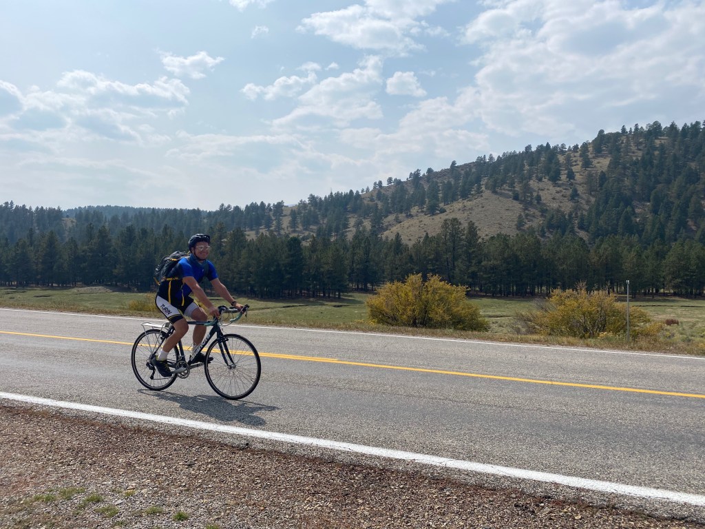
Day 5 was optional, and when I first signed up for this ride, I was convinced I was going to take the day off. The ride in its entirety is very challenging. The final day is possibly the most challenging and the most iconic of the ride, along Million Dollar Highway from Ridgeway to Durango. It wouldn’t be a bad idea to get a day off and feel well rested. Plenty of people did chose to rest that day, as evidenced by conversations I had with other participants and the number of people I saw out at the brewery the previous evening.

When it came time to decide my instinct told me not to take the full day off. I decided to ride on day 5, but to skip the part of the ride I had already ridden on day 4, up Dallas Divide.

I also determined that, since I was staying in Ouray, I could make day 6 a little easier by riding the first 12 miles of that challenging 85 mile day after looping back to Ridgeway. I’d still get to see all the places included in the ride.

By the fifth day I began to notice…

  1. Regardless of the circumstance I always woke up around 5:45. On a “normal” weekday I sometimes struggle to get myself out of bed before 7! This was likely because I was getting exercise and sunlight, but could have also been related to the anticipation of each day’s ride.
  2. I also got in the habit of watching the morning news in the various hotel rooms I stayed in.

Since I was busy most days cycling, with my hands on my handlebars, I was not checking the news on my phone (or a computer) throughout the day. Instead, I watched the news for half an hour or so every morning as I prepared for the day’s ride.

I realized that, with respect to how we consume the news, I had essentially reverted to the way things were three decades ago, when it was common to watch the news in the morning or the evening, but our exposure to the news was confined only to that half hour or hour each day. I determined that I liked it better. 99% of all news stories are not emergencies. They can wait until the end of the day or the following morning.

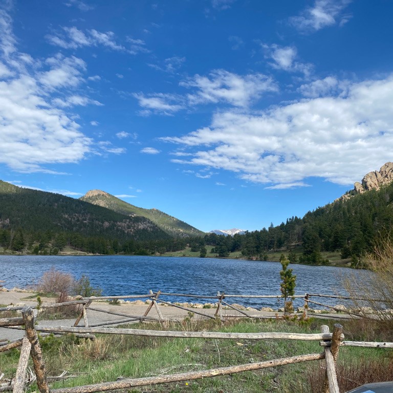
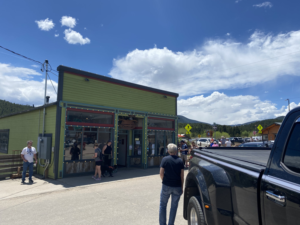
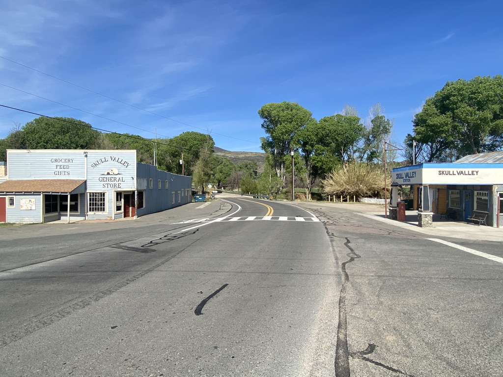
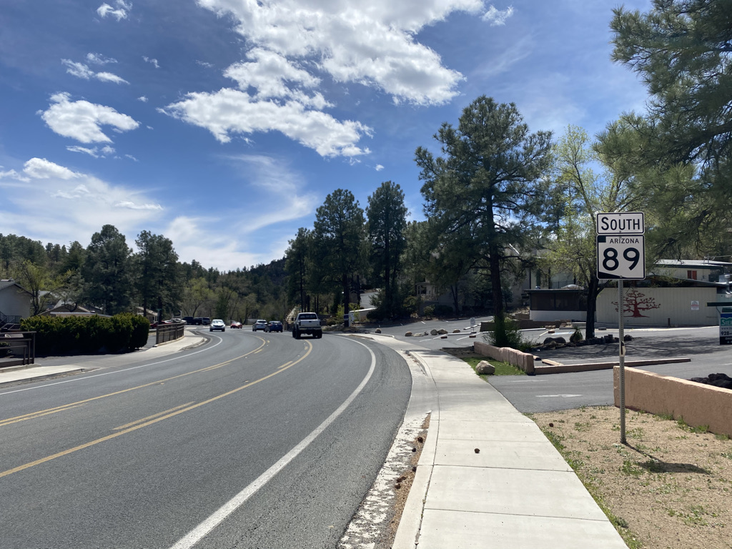
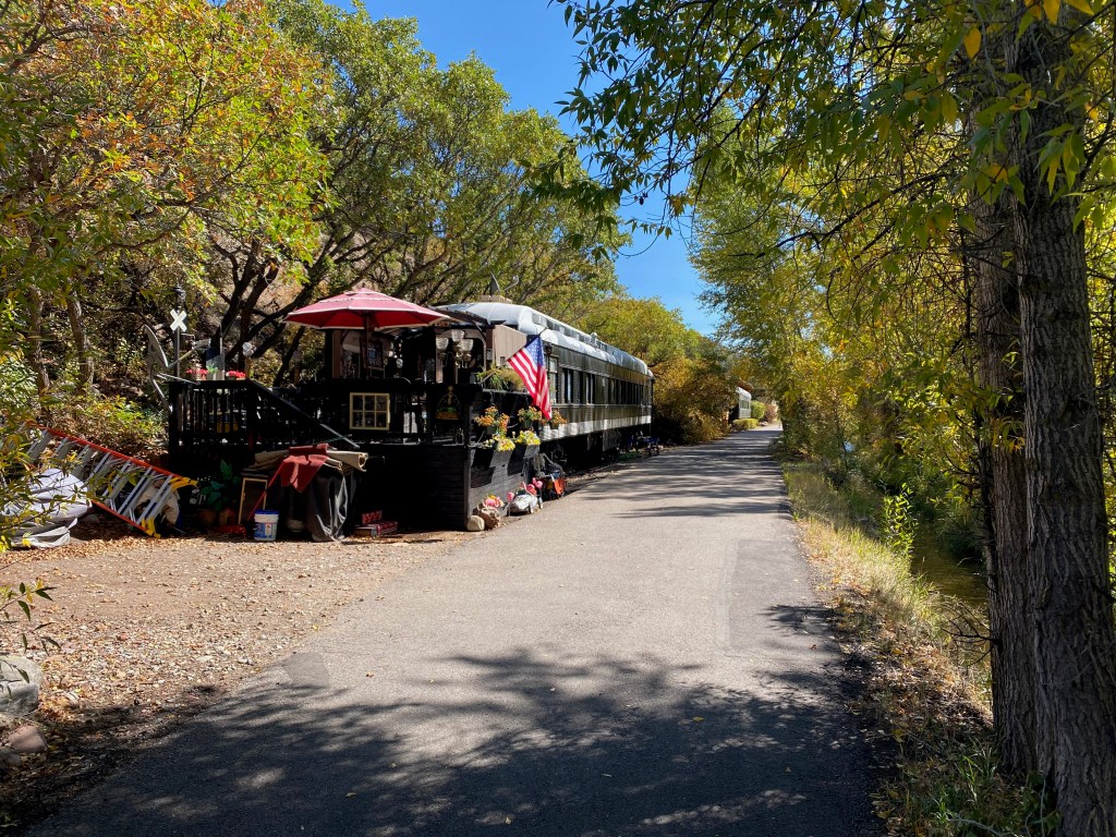
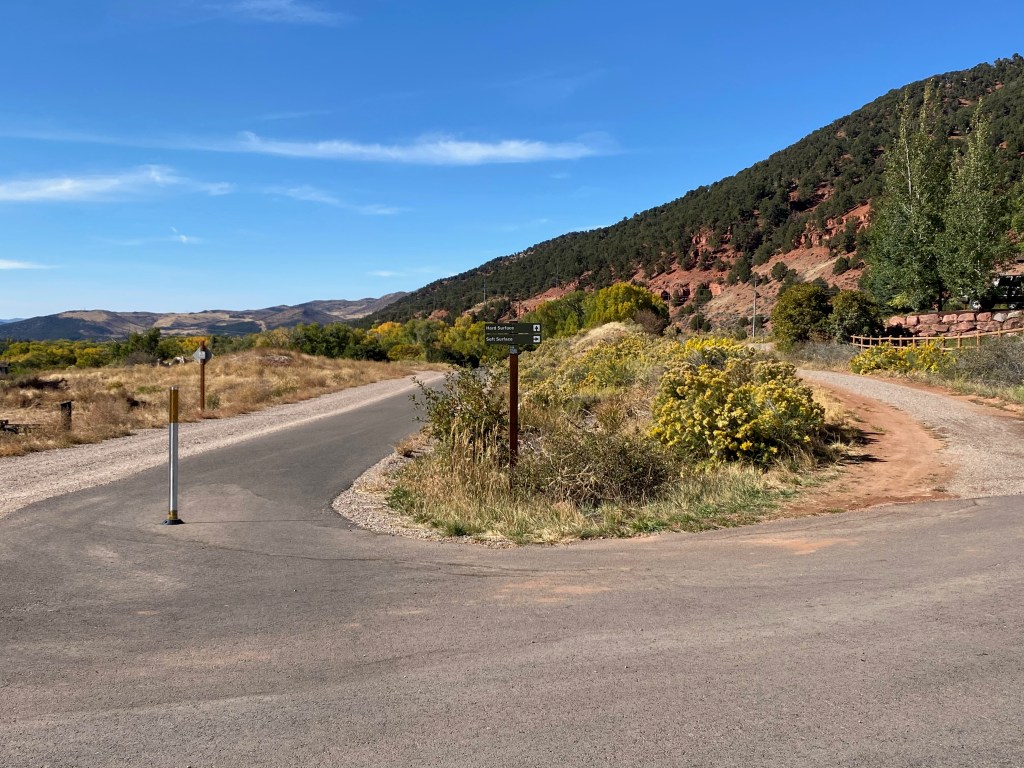
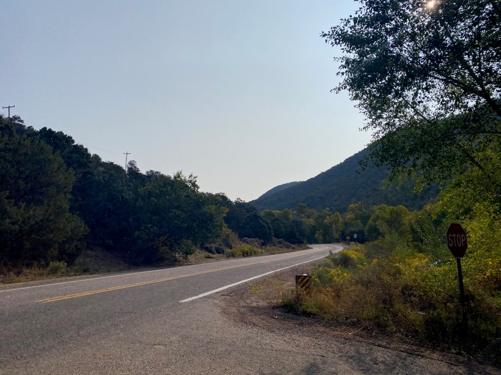
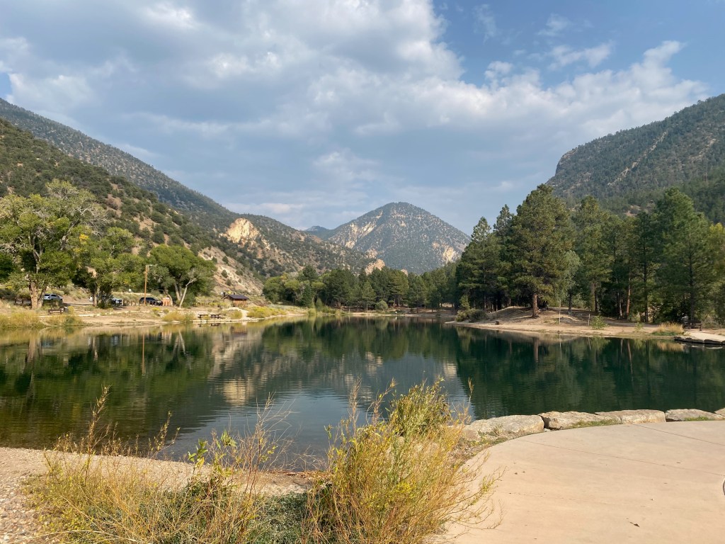
The ride started on a trail that connected Ridgeway with Ridgeway State Park, a place where a lot of people take part in water sports.

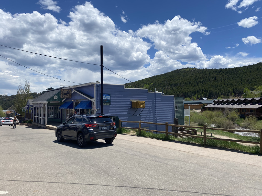
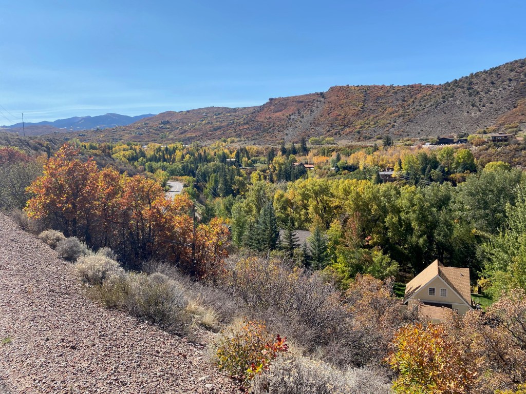
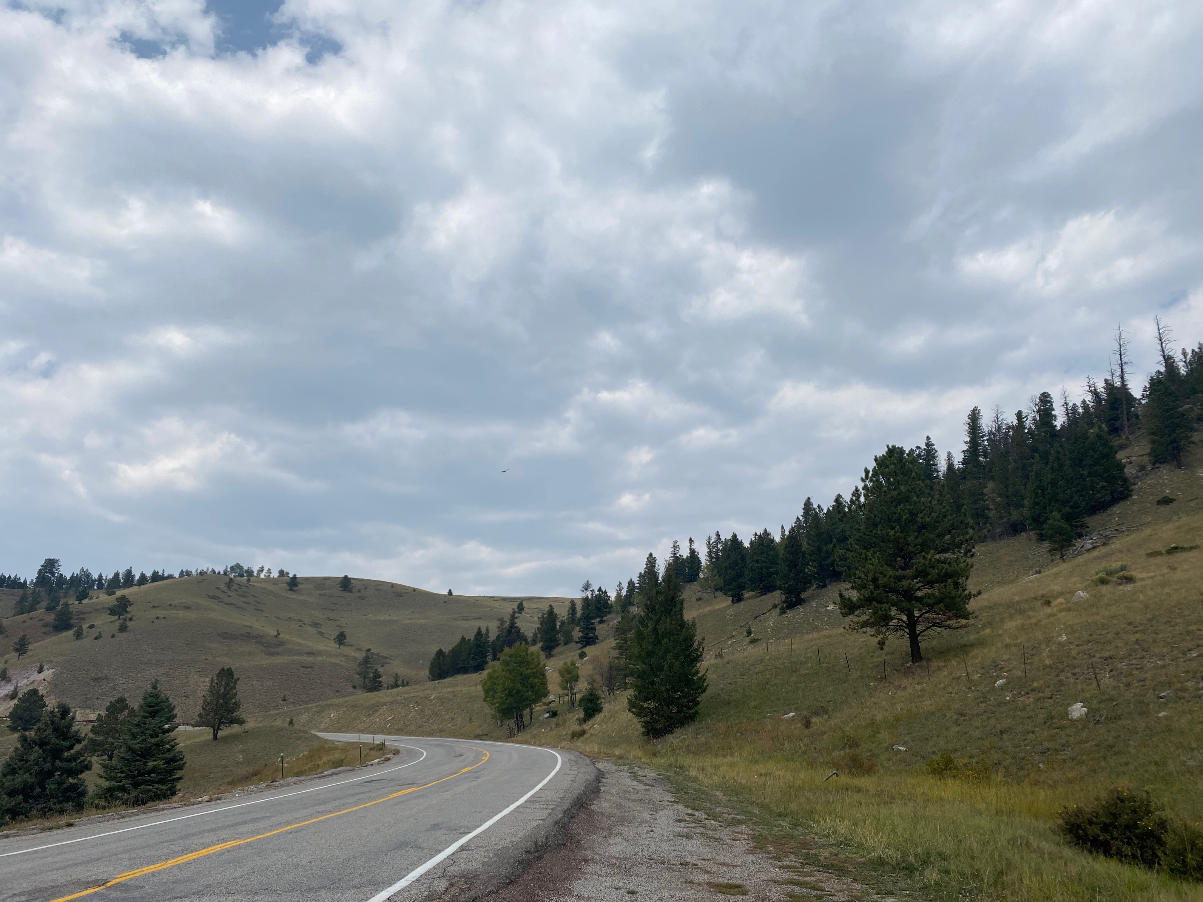
The 17-mile descent went quite fast and before I knew it I was in the tiny town of Colona.

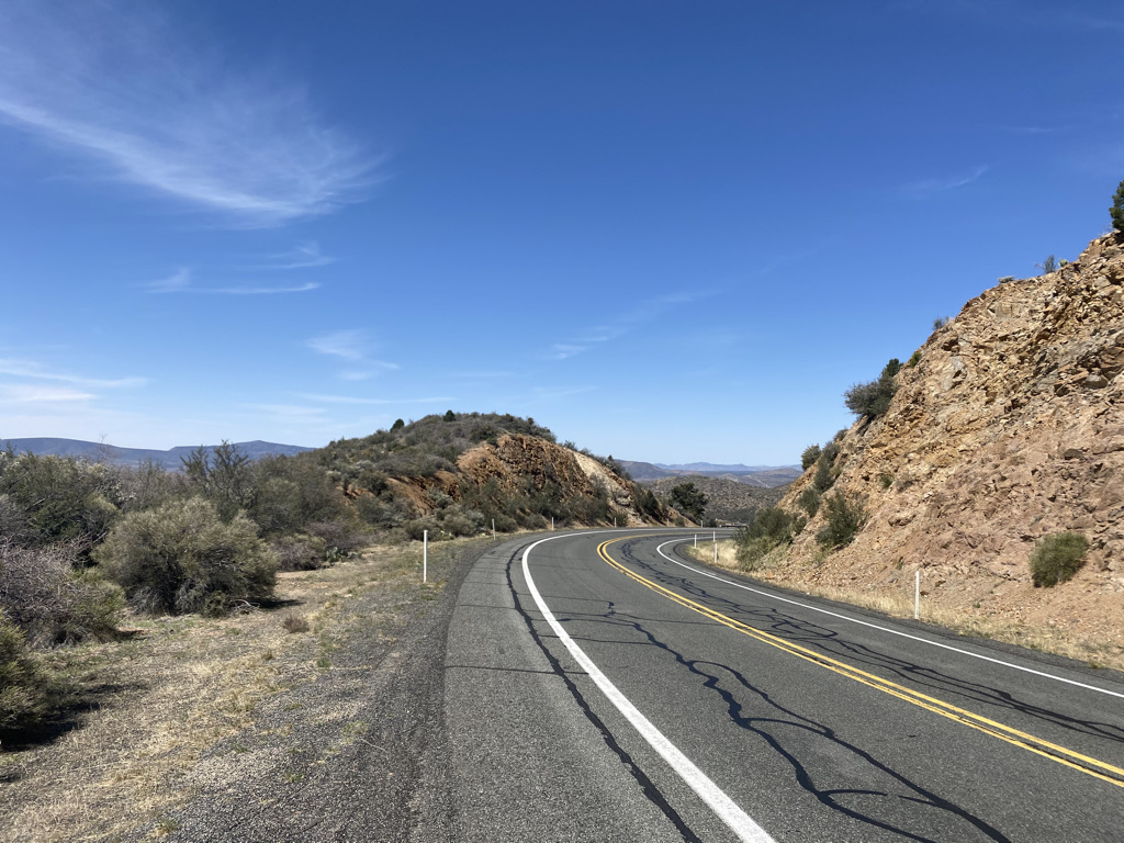
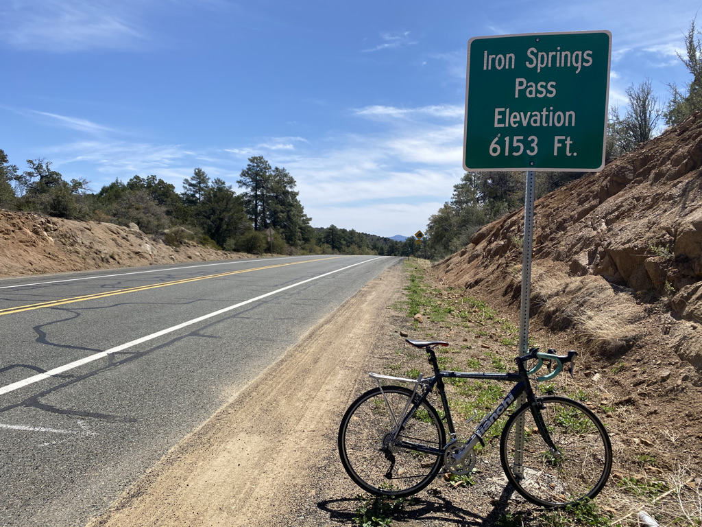
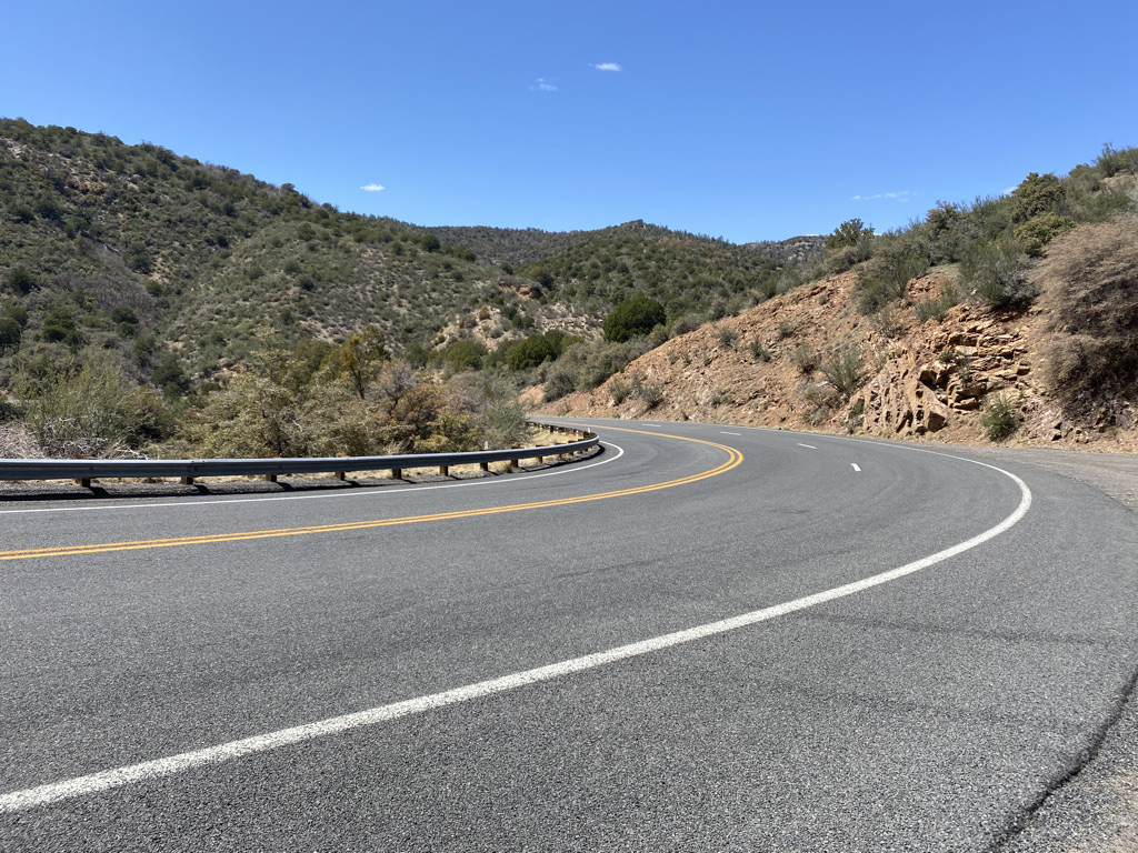
The second half of the loop pretty much embodied what Ride the Rockies is really all about. It was a challenging 2,000 foot (600 m) climb on a dirt road, but, the challenge ended up being worth it!

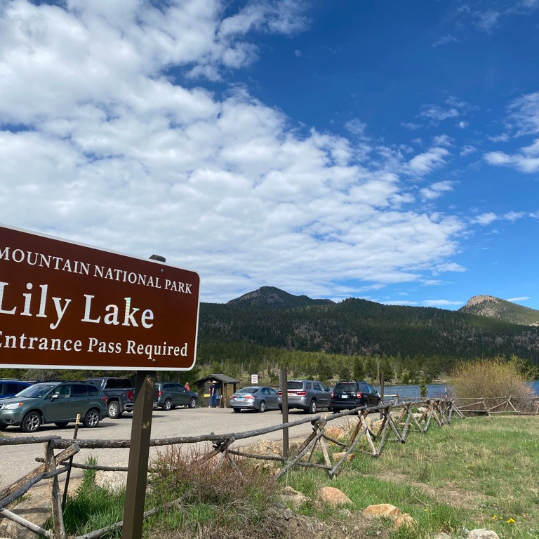
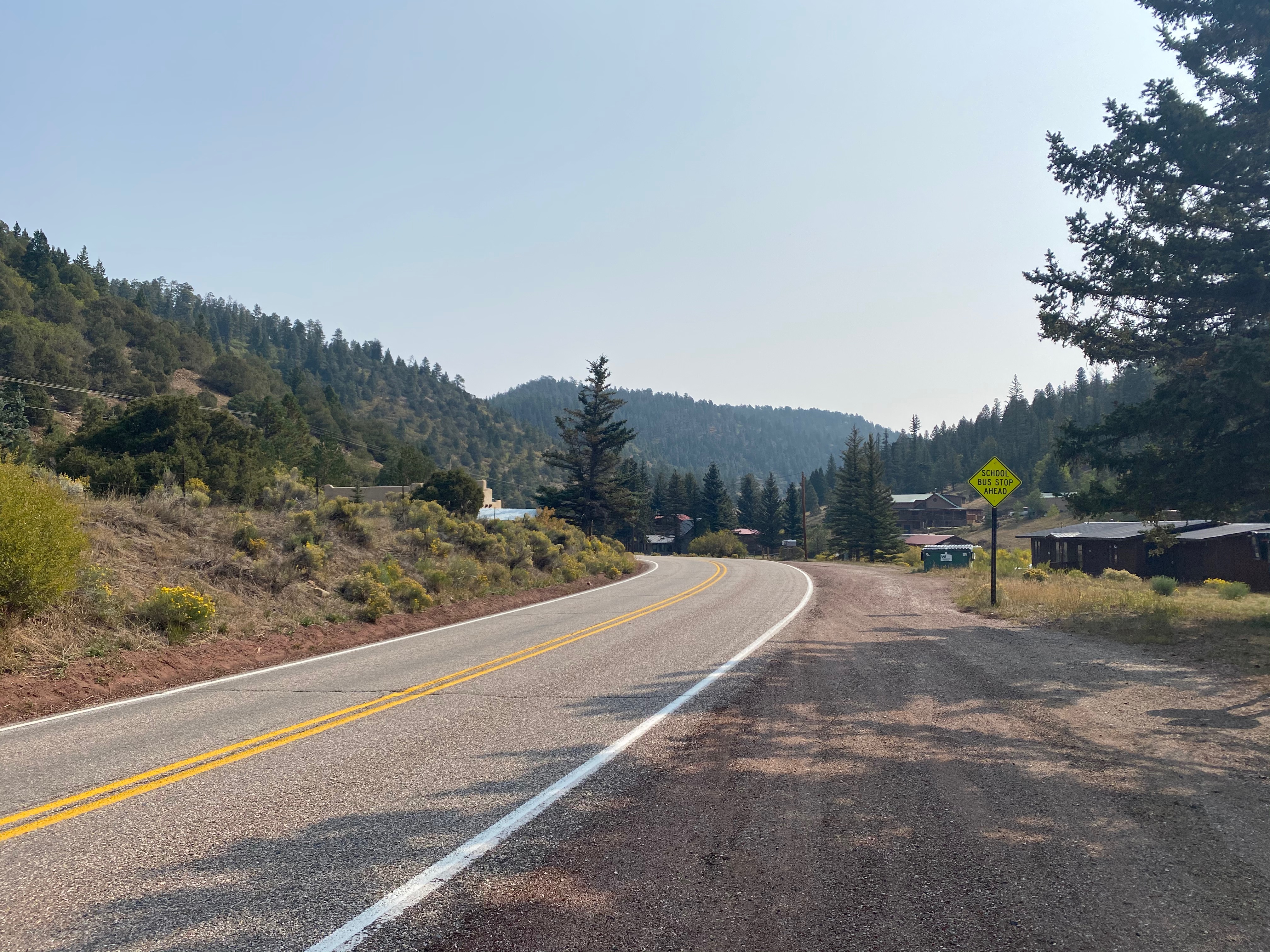
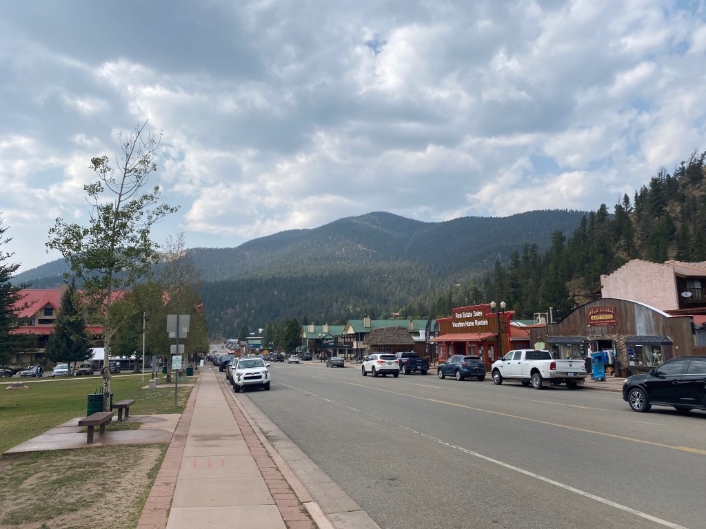
I spent some time in Ridgeway before tackling the final 12 miles of my day.

It was good to have a nice meal and then relax by the pool for a while.

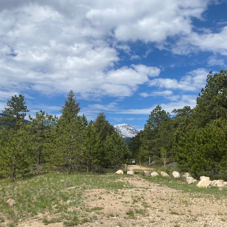
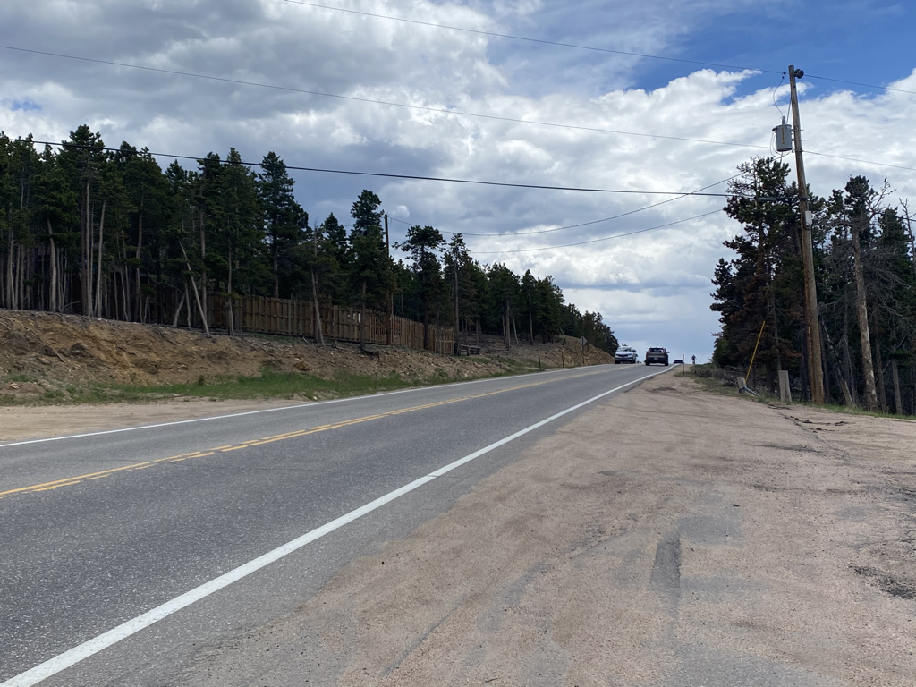
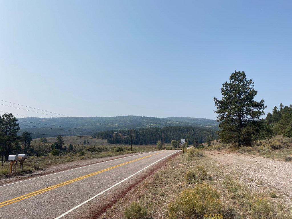
I was concerned about the heat, which was starting to build in Ridgeway, but luckily was able to take advantage of some clouds that had built in the middle of the afternoon to take on the ride from Ridgeway to Ouray.

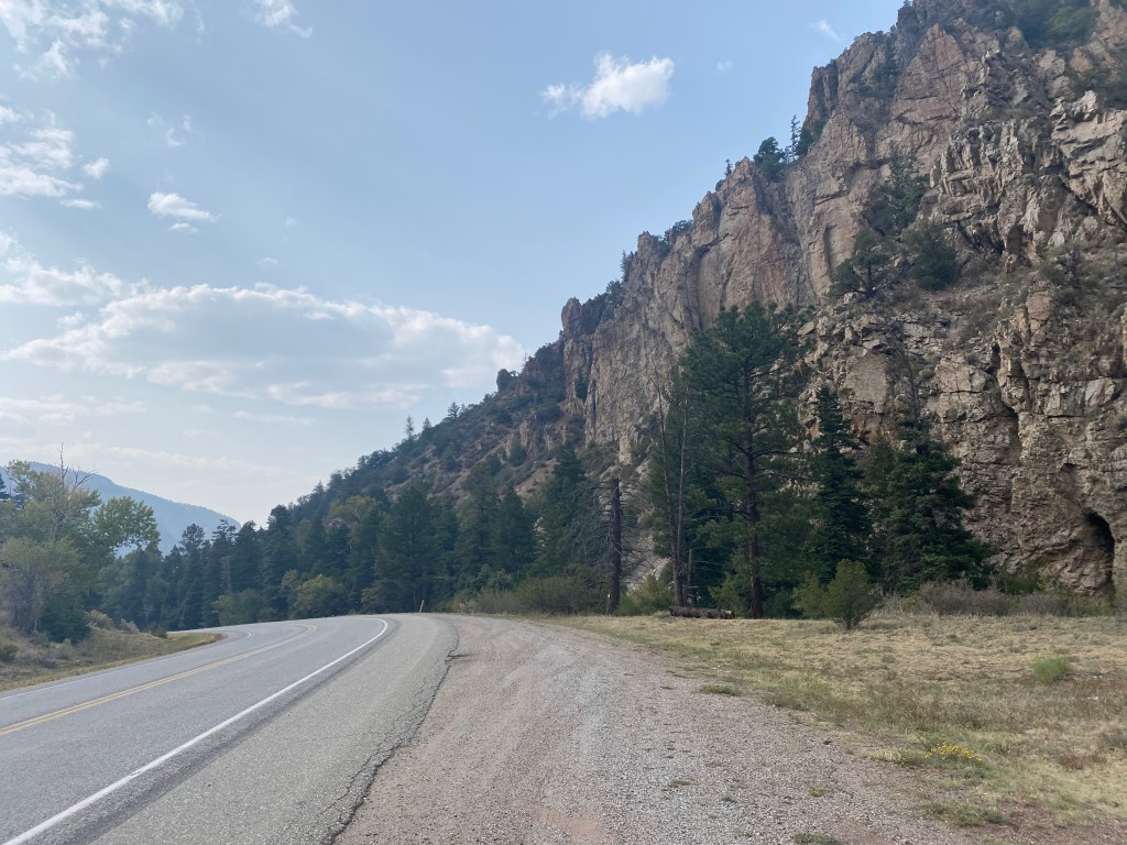
From the standpoint of off-roading, this was quite possibly the most challenging part of the ride. Here, highway 550 is fairly heavily trafficked and has no shoulder. The official ride follows parallel gravel roads that were a bit tough for me on the cyclocross bike I ride.

I did not love all these rocks

In Ouray, I got more time to relax, as the total ride for the day was still less than 50 miles.

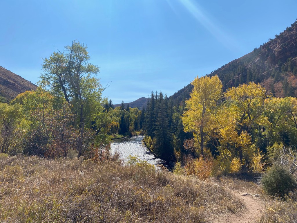
I soaked my legs in the cold water of the Uncompaghre River.

And had a nice meal at the Outlaw Saloon, where I got to meet the man who plays all those old west sounding tunes on the piano.

This piano player makes a living playing old west style tunes at bars in both Ouray and Silverton (both towns with an old west vibe). I loved hearing his story!

Sometimes it feels like everywhere I go I see people that feel trapped in jobs they don’t like and are not passionate about. Some combination of fear and the need for security keeps them there. For the unfortunate ones who end up working long hours and enduring a lot of stress, it does not feel like much of a life, regardless of how much money they are making. Whenever I hear about people who decided to do what they love to do and actually find a way to make it work, I feel happy and encouraged.

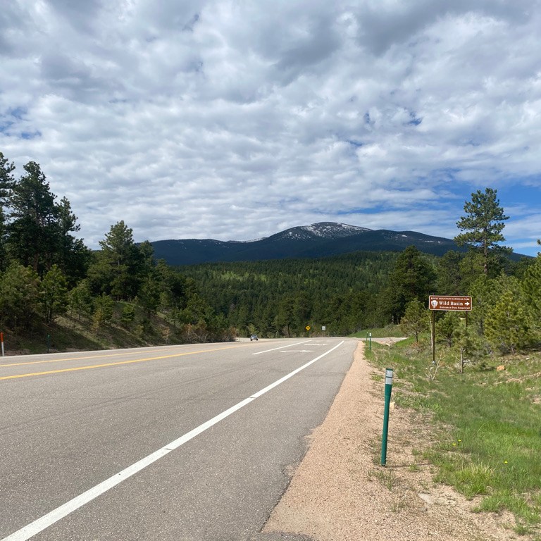
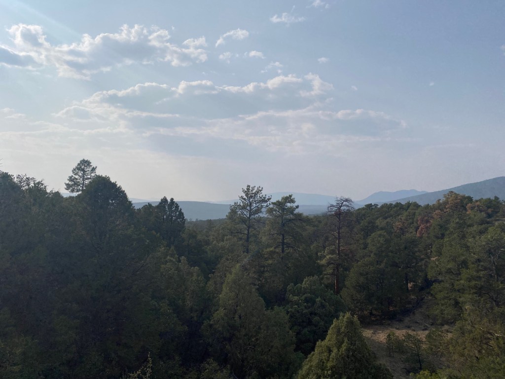
The day ended with a gaze to the north and a reminder of the challenge that lied ahead on the following day.

Just looking around town in all directions, it feels like the hardest place in the world to bike. There is no easy way in or out!

Ride the Rockies Day 4: Telluride to Ridgeway

It was after the challenging third day of the ride that my legs started to feel like bricks. On one hand, I felt somewhat relieved that the day 4 ride was only 40 miles with only one climb, up Dallas Divide. However, as I ate my breakfast, casually in Telluride (as the shorter ride meant I was in no hurry), my legs certainly felt like they would rather just sit.

It always feels strange to me to begin a day with a downhill. After the four mile spur out of Telluride, the highway turned downhill for nearly 20 miles.

A good portion of the ride traversed through areas with red rocks, something that always seems to appear and disappear somewhat haphazardly whenever traveling around western North America.

Turning up highway 62 meant, once again, pedaling uphill, exactly the opposite of what my body had been desiring to do.

As is typically the case on multi-day trips, after a few miles of pedaling, I felt way better than I thought I would. That heavy brick-like feeling in my legs kind of melted away as my body adjusted to the fact that it was once again being asked to pedal up a hill.

The ride to the top of Dallas Divide turned out to be more than worth it.

For some reason, it was on this day I also decided to become obsessed with the tradition of holding up my bicycle.

This also turned out to be one of the most scenic parts of the ride – a reward for the multi-day effort.

The instinct to give my body a rest when my legs felt like bricks could not have been more wrong! Luckily, I knew all along not to think about things from the narrow, or short-term, perspective of only considering the exhaustion I was feeling at the time. Sometimes what we think we want in the moment is not the path to get us to what we really want.

The instinct to pursue the momentary, fleeting desire seems to be heavily impacting some areas of our culture today. Many people at some point in their lives have had the unfortunate experiencing of feeling like part of an “out group”, whether it be not fitting in with the popular group in school or feeling like some part of their identity is rejected by mainstream societal standards. The answer to all of these situations is for each person to assert their individuality. Then, as a whole, we become more comfortable with what is different and more accepting of people who look, act, and orient their lives in a manner that is not what we are accustomed to seeing.

Like the instinct to stop riding after an exhausting day, feeling left out leads to the instinct to satisfy the immediate need to feel validation and belonging. This often leads people to look for a new group identity rather than assert their individual one. As would have been the case had I gave into my immediate instinct and skipped this ride, focusing on the immediate needs filled by establishing a new group identity does not lead to the most favorable outcome. It either leads to just switching who the “in” and “out” groups are (not getting to the root of the problem) or more mental energy spent lamenting about being in the “out” group.

For reasons I do not understand, this is the portion of the ride where things started to get emotional.

I arrived at the second, and final, aid station of the day, with pretty much the same mountain scenery in the background. A van was playing music, first Rocky Mountain High, then more recent songs like Party in the USA came on. These particular songs probably would not have made me emotional had it not been for the fact that I had not listened to too much music on the first few days of the ride.

The thoughts about the current state of the world and how to make the best choices for long-term satisfaction suddenly shifted to more spiritual thoughts. Phrases including “love in infinite” and “there is enough compassion for everyone” popped into my head and lingered. Descending 2,000 feet (600 m) from Dallas Divide to Ridgeway I felt prepared to embrace every other human being I encountered, regardless of their flaws.

It was the easiest day of the trip, but the consequence of a mostly downhill day is a return to the heat.

With the campgrounds in a hot dusty fairgrounds where some participants needed to go down to the river to get away from their overheated tents, I was more than happy to have opted to pay for the hotel package, even if it meant taking a shuttle to Ouray.

Ride the Rockies Day 3: Cortez to Telluride

When I signed up for this ride, it was the third and the sixth (and last) days that intimidated me. The first two days were both about 70 miles (115 km) with about 3,600 feet (1100 m) of climbing. These would not be considered “easy” or even “moderate” cycling days by any stretch of the imagination. However, they still pale in comparison to these more challenging days. The official ride for day 3 was 102 miles (164 km) with 6,500 feet (2 km) of climbing. The first 62 miles (100 km) were a fairly steady climb from Cortez to the top of Lizard Head Pass!

The first 20 miles, from Cortez to a small town called Dolores were pretty similiar to the first two days.

It was after passing through Dolores that, for the first time in this ride I truly felt like I was in the mountains. The ride followed up the Dolores River into a canyon that felt far more reminiscent of my many other Rocky Mountain experiences.

The further I went, the more amazing the scene in front of me got!

I was genuinely in a canyon, once again encountering random buildings and imagining what life would be like living in a house like this.

Only this time, I was not focused on the fact that these people lived so far from the nearest town. I was focused on the scenery. Does a person who was born in a place like this understand how spectacular the place the live is? Or is it just all they know? Or, do they think the grass is greener on the other side and stare at images of skyscrapers and other big buildings in their spare time?

A little over halfway through the climb, along with many of the other ride participants, I stopped to get Ice Cream.

This Priest Gulch Campground quite possibly gave me the best deal on ice cream I could imagine. For $2.50 I got a vanilla swirl that went pretty much as high as any vanilla swirl could go. I was almost worried I had consumed too much!

With the level of challenge on a day like this, it is hard not to pay attention to the little things that may make the ride easier or harder, even if they occur on a very small scale. Would this ride have been more or less challenging had I done it alone? On one hand, when riding with a group of people, there is often the opportunity to “draft”. This is when you ride behind someone going the same speed as you, letting them push against the wind. It makes the ride easier for those in the back of the pack. This is how cycling teams work.

However, on this day, there were a few incidences where one of the teams would be passing by me on the left while I quickly caught up to a slower or stopping rider in front of me. On several occasions I had to hit the breaks, which is always heartbreaking on days that feel like they will require nearly all the energy you have.

However, I would still say, overall, the big group is an advantage.

It was also after this ice cream stop that the tall peaks began to appear on the horizon.

After two days of hot lower elevation riding, I felt like I had entered a different ecosystem.

Two things I was not impressed with on this ride were…

  1. Serendipity Catering: The morning of the third and first extremely challenging day of the ride, I arrived at headquarters for breakfast at 5:45 A.M. only to find out that the catering service the ride had hired had essentially flaked on providing breakfast that morning. At the time, the organizers were unsure if they would return. As far as I knew, they didn’t return and I still do not know what happened.
  2. The town of Rico: I arrived at the aid station in Rico a little bit before noon, 50 miles into the ride. I had hoped to grab a quick bite to eat at one of the local shops only to be told the power was out in the entire town. I guess this is one town I will never explore.

The final ten miles of climbing were kind of a mix between flatter sections and sections that were really intense.

But the top of Lizard Head Pass was amazing!!!

I had worked hard all morning, pedaling from 6,100 feet (1.85 km) to 10,200 feet (3.1 km) in elevation. That hard work made this unbelievably beautiful setting in front of me so much more sweet!

As an added bonus, I finally got to eat lunch, although I did have to wait in a pretty lengthy line to get it.

I did not follow the official route all the way into Norwood. Instead, I rode right into Telluride to my hotel. This ride started with a descent from the top of Lizard Head Pass.

Required another climb.

And then a descent into town.

Despite having lived in Colorado for nearly nine years, this was my first time in Telluride, a town with a unique flavor.

Many other riders had done more miles and gone faster than me. If I had to guess, I would say 70-75% of the participants had done “better” than me that day. But, for many, rides like these are not about competing against each other, they are about the experience. At the end of the day, I was still quite happy having completed the first of two extremely intimidating days. This ride is special. Being barely in the third quartile of ride participants here still likely puts me in the top 2-3% of the population as a whole when it comes to cycling. But, for me, it is not about feeling better than anyone else. It is about getting to the top of that mountain pass under my own power and experiencing the world from the seat of a bicycle rather than behind the glass of an automobile or airplane.

Ride The Rockies Day 1: The Durango Loop

When I first got interested in cycling long distances I would never have imagined something like this existed. I thought it was too obscure of an interest. In High School, I recall enjoying using a very basic bicycle to go to friends houses, stores, restaurants and movie theaters. Then I thought it would be neat to travel from town to town by bicycle, go further and visit interesting places. As a map enthusiast, I was motivated by looking at a map and seeing the distance I could cover by bicycle.

Now, I find myself in an organized bike ride with over 2,000 other cyclists.

They talk about the same things. Places they had traveled by bicycle. Which “climbs” are the most challenging. Experiences like foul weather and flat tires, the kinds of things only people who have traveled by bicycle can relate to.

Unlike any other bike tour I had been on, this one was organized. Each day had an official start and end point. Aid stations were set up to provide cyclists with food, water and restrooms. Routes were planned and signed and there was a headquarters in each town where the rides began and ended every day.

The six day ride would also be the biggest challenge I had ever taken on when it comes to cycling. The official route was 418 miles with over 28,000 feet of climbing. However, there were many options along the route for people to shorten their ride. Day 5 was completely optional.

One thing I realized about cycling a long time ago is that it is a very individualized activity. Everyone rides at their own pace and has their own style. Some are in it for the speed, to achieve the fastest time possible. Others are more about the scenery and the experience. Some prefer to take frequent breaks, while others are more slow and steady.

Throughout the week, I would regularly encounter cyclists that I would pass on the highway repeatedly, as I would move at a faster pace but stop more frequently to take photos or just get my butt off the seat for a while. I also tend to be faster going downhill but am a slow climber. I encountered some cyclists that would pass me going uphill but I would pass on the descent.

Events like these cater to each person’s individual styles. There is no one start and finish time. There is a range of times. Even then, many cyclists leave outside that range. On day 1, the “rolling start” was from 7 to 9 A.M. Yet, probably due to the anticipated heat, I saw many cyclists leave before 7. Before the ride I signed up for “waves”, indicating my departure time each day. I forgot what “waves” I had signed up for and it did not seem to matter too much. I just left when I was ready.

Riding in the Rocky Mountains is challenging because you are pretty much always either going up or down a hill.

The hills on day 1 were relatively gentle. It took me 18 miles to get to my first climb. This part of the ride entered the Southern Ute Indian Reservation, and at about the halfway point I found myself in the tiny town of Ignacio.

The roads here were nice and it was interesting to encounter far more bicycles than cars for pretty much the entire route.

The town of Bayfield, where we left the Southern Ute land was also quite small. It was here I realized that these large cycling events have different implications than the self organized cycling I typically do. When biking alone or with a few other people, it’s advantageous to find towns with amenities like gas stations and restaurants to stay fed and hydrated. On this tour, the organized ride just needed to set up aid stations in large parking lots. It changes the dynamics and potentially alters which routes are possible and which places can be explored.

After Bayfield there was a climb that got intense for a brief period.

Still, on this day I did not feel as if I was in the thick of the Rocky Mountains. It felt more like rolling hills with the mountains off on the distant horizon.

The day ended with a major descent back into Durango and some pretty uncomfortable heat.

I ended the day feeling decent, but knowing that the hardest parts were still to come.

Peak to Peak Highway: The Perfect June Colorado Bike Ride

I started this ride just after 8 A.M. in Estes Park, Colorado, a town that has become so overrun with tourists due to Rocky Mountain National Park that they are now having visitors park at the visitor center and take a shuttle bus into town.

The town itself is surrounded by mountains still snow packed in the early part of June. Perhaps this residual snow at the highest peaks in the area is the reason this entire area would be less crowded than I had feared, and less crowded than it gets in July and August.

The first 8 miles of this 60 mile ride climb about 1700 feet (520 m), skirting by the Eastern and Southeastern edges of Rocky Mountain National Park.

There are even a couple entrance points to the park along the highway!

I liked the initial climb as a way to acclimate myself to the challenging ride and pace myself properly.

The ride as a whole does not have any flat sections. Some climbs and descents are long and others are short, but it’s always either up or down hill. The next part was mostly downhill, rolling through Allenspark and by one of the fastest sections of the highway (where I’d hit my top speed).

One of the things that makes this ride so close to perfect is the bicycle accommodations. With the exception of the first 8 mile climb out of Estes Park and another section of about 5 miles after Nederland, most of the highway has a shoulder so wide cyclists do not need to worry too much about interacting with traffic.

It is almost impossible to overstate how much this added to my enjoyment of this ride.

The entire ride is scenic in all directions. However, there are times when it is important to take a look back. The ride can be completed in either direction, from Estes to Blackhawk as I did or from Blackhawk to Estes. I decided to ride southbound, from Estes Park to Blackhawk to avoid afternoon crowds in Estes.

However, taking the ride in this direction did cause me to almost miss out on what turned out to be the best scenic overlook of the ride. Luckily, I stopped at the top of one of the many hills on the ride, this one about 20 miles in.

And decided to look back in the other direction, where those traveling in the northbound direction would be starting their approach towards Estes Park.

About 10 miles later and after another big hill climb, I would arrive at a tiny town called Ward.

It reminded me of a phrase I used to hear about smaller towns on road trips growing up, “You blink and you’ll miss it.” I remember sometimes being intrigued enough by such towns that I would follow along on the map and anticipate looking out the window at towns like these to avoid missing out on the momentary opportunity to see them. When traveling by bicycle, there is no danger of missing towns because I was reading, looking at my phone, or drifting off in thought.

The next ten miles would be a series of rapid descents into the town of Nederland.

Having been to Nederland before, I expected to find crowds. There were people out and about, but perhaps because some of the trails were not yet opened up due to snowpack, it was significantly less crowded than I had expected. One other advantage to riding this highway from North to South is that I arrived in Nederland, the best place to take a break for lunch, a little bit after noon with 2/3 of the ride behind me.

Then would come the next most challenging climb (after the first 8 miles) and the only other section of road without a shoulder.

The open road returned alongside a series of hill climbs interrupted by short descents.

Throughout the ride I was hardly thinking of anything else besides what was in front of me. It reminded me of the state of flow so many people have been talking about during these somewhat psychologically challenging times. Most people enter this state of flow when they understand the task at hand, are sufficiently challenged, have sufficient autonomy and avoid distractions. Flow is said to accelerate both progress and satisfaction and the quest to reach the state of flow is an important component in many coaching services.

There I was, rolling up more hills until I finally reached the top of my final ascent.

Before I knew it I was flying down the final five miles into Blackhawk completing the ride.

After everything annoying about the past year or so, I have been working hard to clear as much negativity from my mind as possible. Apparently, I am not alone, as studies show 80 percent of all thought are negative. Even on a couple of my more recent bike rides, I struggled to avoid negative thoughts. I found my mind drifting towards conflicts with people, frustrations with recent events and the state of the world and such. It amazed me that on this day none of these thoughts entered my mind. I was present. I did not even come out of this ride with some sort of lesson. Those realizations would come days later. Maybe this turned into some kind of five hour long meditation session in nature. Either way I wish to have more experiences like this one.

The Last Week of the Off-Season in Summit County, Colorado

Keystone Village Ice Rink three days before Memorial Day Weekend 2021

Somewhere along the line, a holiday set aside to remember those who had died serving in the U.S. military became the “unofficial start of summer”. This year the holiday also happens to coincide with many places lifting restrictions related to COVID-19, as a significant proportion of Americans have been vaccinated and case numbers have declined. In 2021, the contrast between Spring and Summer promises to be far greater than in any other year. It is a contrast between a “socially distanced” offseason and a fully re-open summer that unofficially began Memorial Day Weekend. The week before Memorial Day literally felt like the calm before the storm.

I spent most of the week riding my bike around the area. It felt like the last time in quite a while that these trails (the Summit County’s bike trail system) would be so quiet.

The weather was quite nice, although a bit chilly in the mornings. Yet, since it was still technically off-season, the crowds had not yet arrived.

Downtown Frisco Tuesday May 25th

Each season in the mountains is unique and as Spring transitions into summer, the sun is bright, but mountain tops still have a lot of snow on top of them. The middle part of a sunny day in May or Early June may be the brightest the area ever feels.

There are so many places of natural beauty and so many stretches of trail, throughout the county, where one can just be alone with their thoughts.

It’s hard not to feel spiritually refreshed after several days of cycling around the area.

The way the world is currently set up, cycling is by far the best way for me to process my thoughts. Almost anywhere else I find myself, there is the temptation to look at my phone or engage with some other distraction. Cycling, I need to have both hands on my handlebars. Therefore, there is a lot of value in riding long distances. It is on these rides that I process through life developments and often come up with ideas.

Wednesday was quite possibly the most significant day of this trip. The day started with the Super Flower Blood Moon, a lunar eclipse visible just after 5 A.M. It was visible for a while but then the moon slid behind the clouds as the sky started to brighten up. From a spiritual standpoint, I was told that lunar eclipses are a time for us to release things. So, at the time when the eclipse had peaked, although behind the clouds, I set the intention of letting go of a couple of things that were no longer serving me in life.

Later in the day I rode my bike from Keystone to Breckenridge, a 16 mile (25 km) ride (each way) with a moderate hill climb. When I arrived in Breckenridge, I randomly encountered a parade they were throwing for this year’s high school graduates, on Main Street.

Summit High School Class of ’21 celebrating on Main St. May 26, 2021

It warmed my heart. This year’s graduates in particular got a raw deal from the pandemic. It impacted both their Junior and Senior years. I was glad to hear them all happy, with many of them looking forward to the life they have in front of them. Written on many cars was the college the students were about to attend.

One of my favorite things about bike travel is randomly encountering events like this. They are much harder to miss riding a bicycle than driving on a highway. I even encountered the parade being staged, in the parking lot for the ski resort, which is empty because it’s off-season.

In a few weeks, this place will once again be active, with summer activities. Visiting the week before Memorial Day may have been the best of both worlds, nice weather but still not crowded. However, it is important to recognize it as a transition week, a time when one season ends and another begins. Many people fly from one activity to another, one endeavor to the next, not taking any time to slow down, process what happened and take in the lessons learned. The super blood moon was a time to let go of what isn’t serving us well. Hopefully, the entire week, as was the case for the graduates marching down Main Street preparing for College, was a time to reflect and prepare for what is to come. A time to close one chapter and enter the next.

The Prescott-Skull Valley Loop

This 54 mile loop is a common ride for road bikers in Prescott. It is even an annual event. The official ride starts and ends in Prescott, which is called Arizona’s “Mile High City”. It’s official elevation is just over a mile at 5367 feet (1636 m). The official ride starts with a short climb and then a major descent into Skull Valley, whose elevation is closer to 4000 feet (1200 m). Then, the larger climb back towards Prescott is in the second half of the ride I, however, decided to start my ride at the ride’s low point, in a town even smaller, called Kirkland (not to be confused with the Costco brand).

From this side, the ride starts out with a relatively shallow grade up into Skull Valley.

Skull Valley is also quite tiny, feeling mostly like a randomly placed trading post along an old western trail. It is also where the climb starts to get intense.

There was a total of 20 miles of climbing along county highway 10. The road felt quite accommodating the entire time. There were not too many cars and with the exception of a couple of bridges, there is plenty of shoulder space.

Unsurprisingly, the other bicyclists I encountered were traveling in the opposite direction, the official direction of the ride.

The road reaches it’s summit at a place called Iron Springs Pass.

And then descends into the town of Prescott.

This was the other advantage I saw in parking in Kirkland and riding the loop in this direction. Not only does it feel better to do most of the climbing earlier, but it was great to stop in Prescott in the middle of the day and hang around the courthouse in the center of the city.

There were a lot of people out and about on a mid-April Friday and there seemed to be an interesting natural feature in the background in every direction I looked. As was the case in many other places I had explored in Arizona on this trip, there were definitely signs that a lot of ex-Chicagoans had settled there. I even had a true Chicago style hot dog.

The trip back into the valley follows state highway 89 through Prescott National Forest.

There was one last hill climb, of a little under 1,000 ft. (300 m). It was the last climb of the last ride of my weeklong trip down to Arizona.

There was still about 15 miles left in the ride, but it was all downhill. On rides like these, it is quite common for a feeling of accomplishment to set in around this point. The last true challenge was done. This rapid paced downhill part, with much of the same natural beauty of the climb earlier in the day, felt like a victory lap of sorts.

I could gaze out upon the mountains in all directions feeling like I was doing exactly what I had came out here to do.

Whenever taking on any kind of challenge, anything that requires doing things that are hard, that require effort and getting out of our comfort zone, a common question is why. This is a question we are asked by others but also ask ourselves.

On both the uphill and downhill portions of the Prescott-Skull Valley loop, my why once again became quite clear as this was the exact type of bike ride so many of us work towards. It is the feeling of using my own power to traverse beautiful mountainous terrain while feeling the air in my face and smelling what is around me. The immersion in these surroundings cannot be replicated inside an automobile. The experience also becomes far more special when one has the capacity to enjoy it rather than focus single-handedly on the pain they are enduring just to make it up these big hills. Rides like these are a reminder of how we “level up”.

And then, inevitably, we enjoy the rewards the come with it.

The Rio Grande Trail: Basalt to Aspen

The name of this trail is puzzling. According the the trail’s website, this 42 mile trail, which connects Glenwood Springs to Aspen, was named after the Rio Grande Western Railroad, which ran along these tracks until it was decommissioned in the 1990s.

Most visitors to the area are not aware of this history. We just see that the trail is named the Rio Grande Trail despite the fact that the river it follows is the Roaring Fork. The Rio Grande is not only well known for marking the U.S./ Mexico border in Texas, but it also has its origins in Colorado, not too far away.

That being said, on the first of October, it still made for one of the most breathtaking bike rides one could ever hope for.

I absolutely love the town of Basalt!

Every visit I have ever had to this town has been incredible! It never feels crowded like a major tourist destination, but there is also never a shortage of things to do or basic resources. I have never had a bad meal in this town, and the two rivers that come together, the Frying Pan and the Roaring Fork are your quintessential free spirited mountain rivers!

The ride from Basalt to Aspen is beautiful right from the start, especially on the first of October, with the fall colors at their peak.

It is the kind of trail that has something for everyone. In the middle part of the ride, you’ll encounter a restaurant built in one of the old train cars used when this trail was a railroad.

It overlooks several small villages.

The trail is mostly straight, but it makes a timely curve to give cyclists a direct view of Snowmass Village, one of the highest rated ski resorts in the state.

I also absolutely love the fact that the trail does not follow right beside the highway, usually traversing on the other side of the river from highway 82. There are many bike trails that travel right alongside a major highway. Here, cyclists enjoy the trail without the sounds of the busy highway. Additionally, those that have already driven the road see the area from a different perspective.

The mile markers are consistent, with one every half mile.

And, there are even parts of the trail where riders can chose a hard surface or a soft surface option.

Closer to Aspen there is an unpaved section that lasts about three miles.

Since it is hard packed and this section is flat, any kind of bike should be able to pass through with little problem. Oddly enough, my favorite experience of the ride was in this unpaved section.

This mini waterfall reminded me of a scene in the movie Cars, where the main character is taken to a similar feature. He is told that before the interstates were built all travelers would pass by this waterfall, but travelers now miss out on this beautiful experience in order to save 10 minutes. The scene, and in some ways the entire movie, was making a statement to us about our busy lives, and what we miss out on when we are always in a hurry, focused solely on our destination.

I was having an experience much like the scene in the movie. It would have been much faster to get from Basalt to Aspen on the highway, but not the same experience. I would not have encountered this feature. Leading up to the ride, I was feeling a bit stressed, like I was trying to cram too many activities into too little time. With work, I may have even been focusing on the destination rather than enjoying a key learning experience. Watching the water trickle down the rocks in stunning autumn gold reminded me how rich our lives can be when we don’t always take the most efficient route to a destination, both in physical space and in personal development.

The trail pretty much ends at the John Denver Sanctuary on the North side of Aspen.

That day the city of aspen was colorful. Yellow colored trees could be seen in every direction, from Aspen Mountain, the ski resort adjacent to town, to the pedestrian mall that is often far more crowded (when there is not a global pandemic).

Aspen is known to be active and wealthy. But, I wonder if the people who live here live hectic lives, always focused on their destinations. Or, do many residents of Aspen, and the rest of the Roaring Fork Valley, frequently take the extra time to immerse themselves in the experience of the natural beauty that surrounds them?

Cycling The Enchanted Circle

The enchanted circle can be an intimidating bike ride for two reasons. First, it is challenging. It’s an 84 mile ride with a total of over 5,700 feet (1.75 km) of climbing. There are also a lot of sections where the road has no shoulder. A road with significant traffic and no shoulder can feel quite dangerous on a bicycle. Maybe I’m spoiled by typically riding in Colorado, with roads that are typically more bike friendly. According to the League of American Cyclists, Colorado ranks as the 7th most bike friendly state in the country, while New Mexico ranks 44th.

Like this bike ride, life has tons of opportunities that are both risky and potentially rewarding. A lot of people lose out on so much that life has to offer because they avoid endeavors that cary significant risk. For me, the Enchanted Circle bike ride became a microcosm for how we are meant to approach these important opportunities. I would not let the apparent challenge and the apparent danger stop me from doing the ride. However, it is good to be mindful and smart about the risks we take. With any potentially risky endeavor, there are actions one can take to minimize the downside. For me on the Enchanted Circle, it meant trying to face as little traffic as possible on the most potentially dangerous part, U.S. highway 64. So, I started the ride early, around 9 A.M., and rode the circle in the counter-clockwise direction, starting east out of Taos on 64.

As I’d hoped, there was very little traffic. There were even times where I completely forgot I was on a U.S. highway. The highway kind of took on the feeling of an empty country road, which was fantastic.

The 18 mile moderate climb from Taos to Palo Flechado Pass wound through the Carson National Forest. I truly felt enchanted, right from the start of the ride. Around each curve was a new sight to behold: Trees just starting to change colors for the upcoming fall. Birds flying through the air. Horses grazing on open land. New mountain peaks appearing on the horizon.

I could not help but smile for most of this segment. The climb is not even steep enough to cause too much exhaustion.

After this climb came a quick 700 foot (210m) descent into Angel Fire, home to one of several major New Mexico ski resorts along the Enchanted Circle.

Due to smoke from wildfires in California and Oregon, I was unable to see Angel Fire ski resort from the road. However, I would later get the gist, as one of the locals I would speak with in Eagles Nest would describe this resort as “a ski resort without apres”. It sounded like an interesting family oriented experience.

The next stretch of road, from Angel Fire to Eagles Nest, was perhaps the most comforting, being flat and having the widest shoulders of the entire loop.

I grabbed some food in Eagles Nest, interacted with some of the locals and then turned onto highway 38 for the next segment.

Highway 38 is a mixed bag. There is no shoulder, but traffic is pretty light. Of the cars I did encounter, this is where I felt the most scared. On a few occasions, I was frightened by being passed at high speeds by vehicles that did not move too far over.

The climb starts gradually, passing by a ghost town called Elizabethtown. A woman I had talked to in Eagles Nest told me this town was so easy to miss I would “miss it if I blinked… while riding uphill”.

Then comes the most challenging ascent of the ride, to the top of Bobcat Pass, the ride’s highest point.

This part turned out to be quite steep. I had received some encouragement regarding this bike ride at the Eagles Nest Cafe. One patron even let me have one of her onion rings. However, when I told people I was doing this ride, I also did hear “I’m exhausted just thinking about you riding up Bobcat Pass”, as well as “If my son were to tell me he wants to do this ride, I’d urge him not to.”

I took the downhill at 35 miles per hour (56 km/hr).

And quickly arrived in the town of Red River.

Red River, home to yet another ski resort, felt like your quintessential touristy mountain town. It felt reminiscent of Lincoln, New Hampshire, a town I rode through several years ago, also while on my bicycle tackling challenging mountain passes.

Continuing west on highway 38 was a beautiful descent from Red River into Questa.

Like the initial climb out of Taos, this descent was not quite as steep, winding through the forest, and by some other unique natural features over the course of 12 miles.

The final 20 miles of the ride follows highway 522 back towards Taos. While this section has some rolling hills, it stays in the valley to the west of the Southern Sangre de Cristo mountain range. On this part of the ride, I saw the mountains from a whole different, and more broad, vantage point.

The rolling hills on this last part of the ride are not nearly as big as the major passes I’d rode up earlier. However, having already rode 70 miles and pedaled up Bobcat Pass, they were enough to exhaust me.

Like many of my previous exhausting bike rides, I ended the day physically exhausted but spiritually rested. It also came with another form of spiritual satisfaction, having properly persevered despite some less than ideal conditions. The manner in which I approached this ride allowed me to enjoy the upside of the experience (the satisfaction of the ride, the scenery, the interactions with the locals, etc.), while being smart enough to minimize the downside (the risk of riding in high traffic with no shoulder).