We drove two hours from the nearest town, Monte Vista, Colorado just to get to the Three Forks Trailhead in the Conejos River Valley.

It’s hard to imagine being any further away from civilization.

It’s the trip I needed, as it is the trip we all need from time to time. Three days without the constant distractions of modern life. Three days where one can just gather thoughts and reset from the constant onslaught of information.
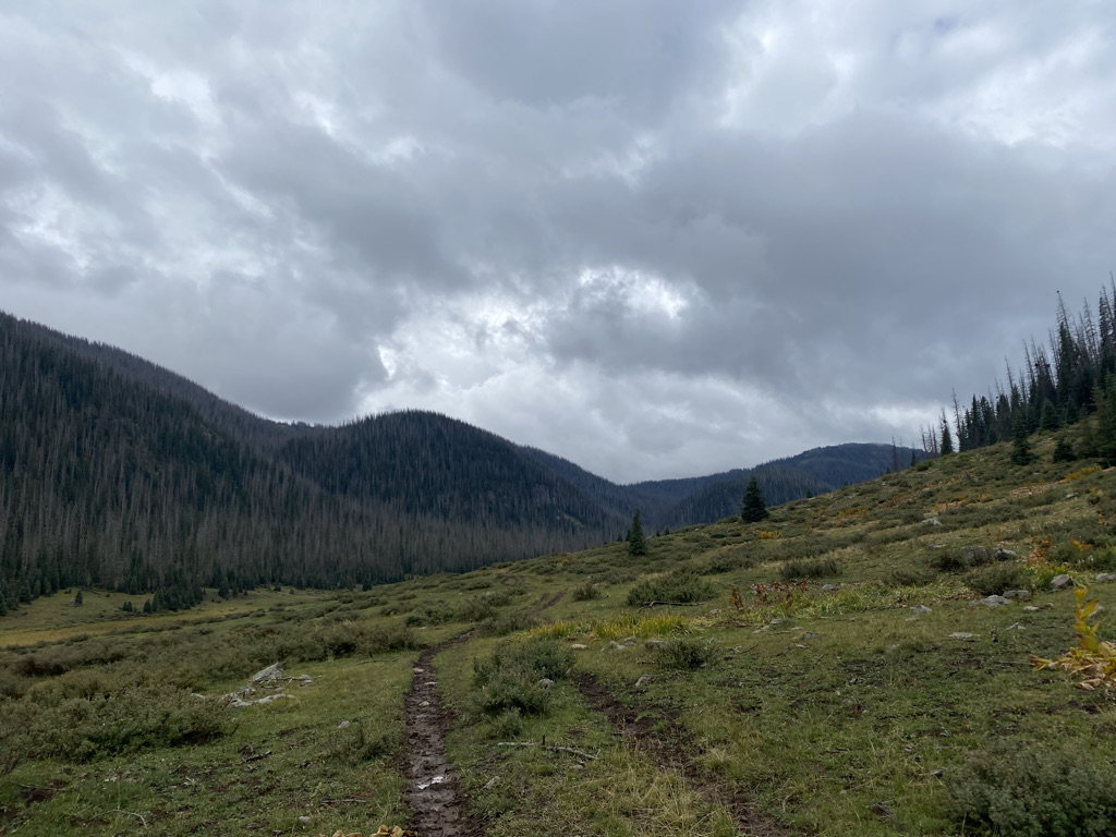
It started on the final day of a rainy week. The trails were quite muddy from the previous several days.


It was actually somewhat of a miserable day. It’s hard enough to climb roughly 1400 feet (425m) carrying heavy backpacks. The morning was cold and mostly cloudy.

Then came the rain, somewhat heavy at times and the fog. And, it was a cold rain, the kind of rain that soaks coldness down to the bones. The kind of rain that made us want to just sit in our tents, which we did for over 12 hours that afternoon and evening.
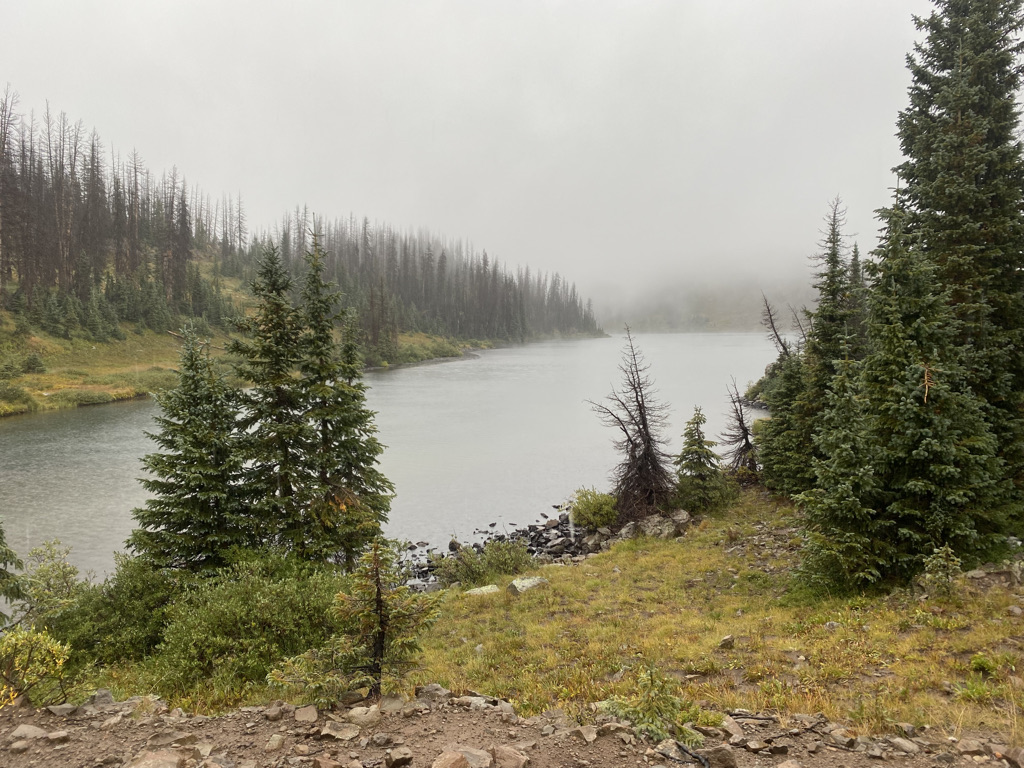
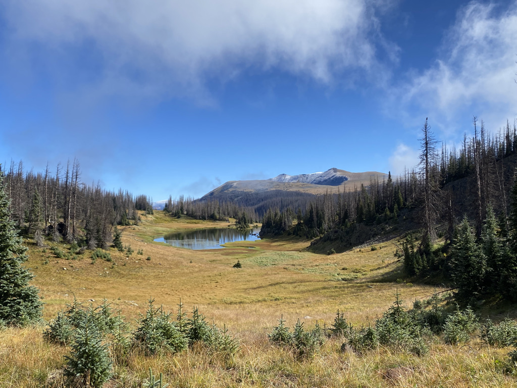
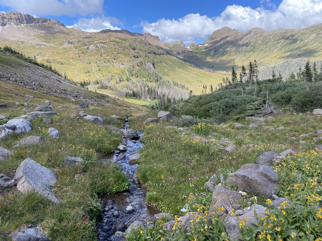
The fog obscured the views of Blue Lake, at nearly 11,500 feet (3500m) both in the evening and especially the following morning.
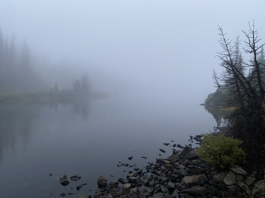
After climbing a little bit higher the next day, we could see the manner in which this morning fog was impacting some parts of the forest but not others.

I guess we just happened to be in one of those unlucky spots where the thick set of clouds had established themselves for the entire night. There is something both humbling and satisfying about experiences like these. We live in an era where people try to predict and control everything. It’s nice to know what to expect from our experiences. However, something gets lost when we achieve a certain level of certainty in life. It can make things feel emptier, more formulaic, even robotic at times. Surprises bring beauty. Surprises bring anticipation. They lead to appreication. Surprises can make us feel alive.
Sure, I was miserable the first day, but once everything cleared up it was spectacular!

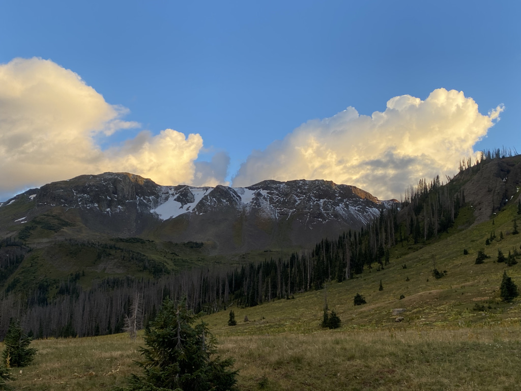
The less than ideal conditions on day 1 probably made me appreciate day 2 more. In this case, it even created a more unique experience. Often times, cold rain means snow at higher elevations, which we saw when we looked up.
As we approached the pass, along the Continental Divide, we even began to encounter some snow from the previous night.

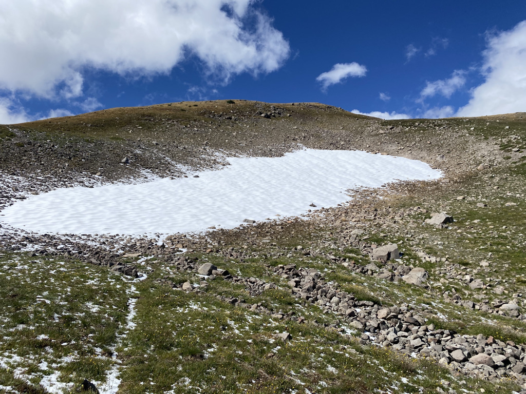
Yet, it was also somehow drier.
One of the things I love the most about the mountains is how full of paradoxes it can be. With each valley and mesa being subject to different weather conditions each day, experiences can often be wildly different from expectations.
Combined with a type of natural beauty most of us are deprived of in our urban lives.
And seeing first hand, with features like deeper snow in the areas most commonly shaded.

Well, it forces us to think differently. In modern life, we typically try to understand and control our surroundings. Based on several factors, we select neighborhoods to live in. Many of us have jobs that provide a predictable stream of income. We learn routes, create habits and form routines. Here, all we can do is prepare for all the possibilities and respond to what happens.
What is odd is that the very thing that makes the conditions hard to predict, the mountains, is what makes it a place people want to visit. It’s almost as if humanity’s attraction to visiting places like this is a cosmic sign that we are, often unspokenly, yearning for a bit of chaos, a bit of surprise in our lives.

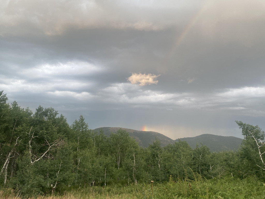
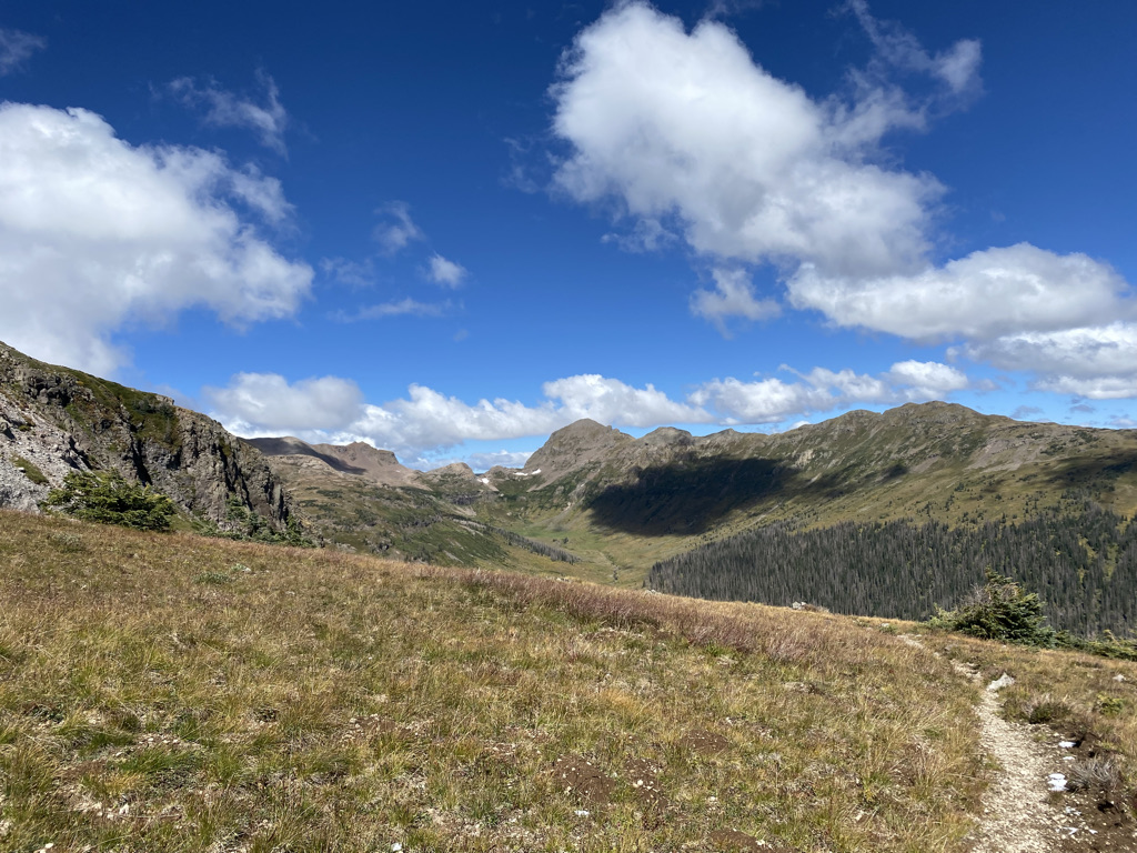
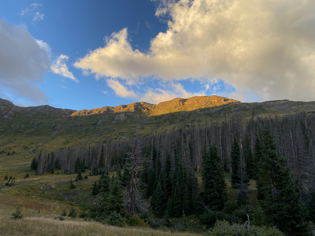
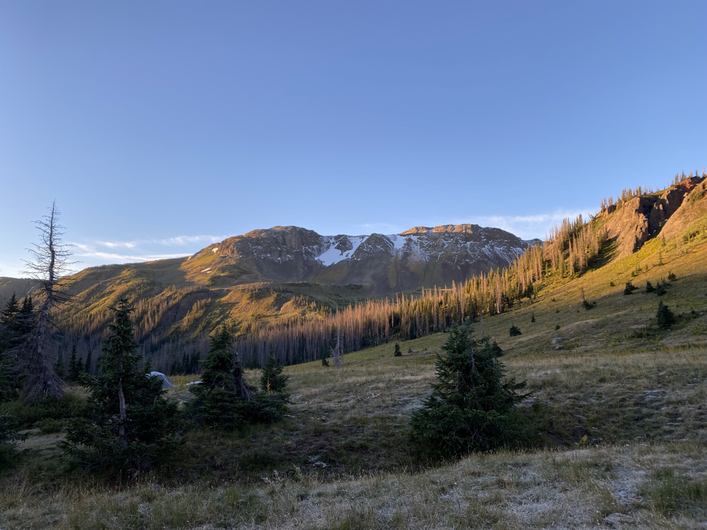
On the second day, we even found a wonderful, amazingly scenic, place to camp.

With an overlook of the Middle Fork of the Conejos River.
With amazing alpenglow in both the evening and the morning and the ability to see the stars on a new moon night.

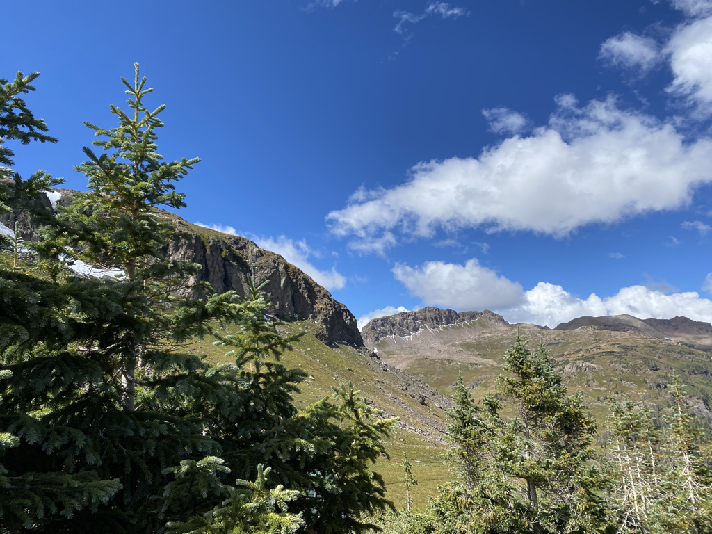
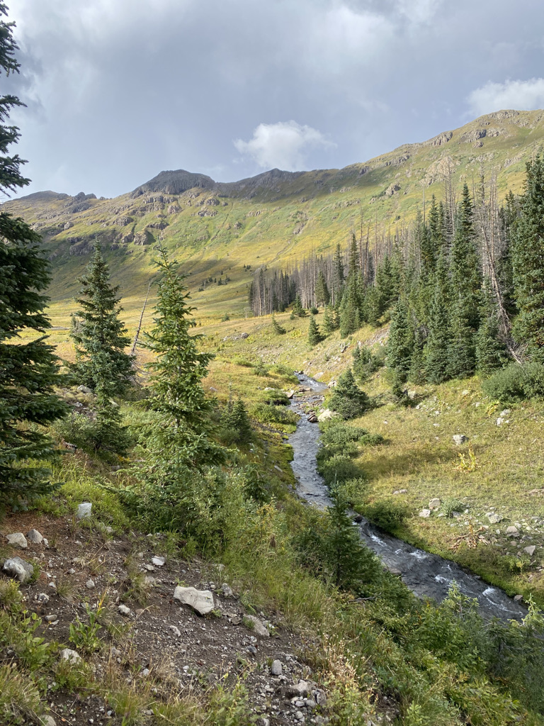
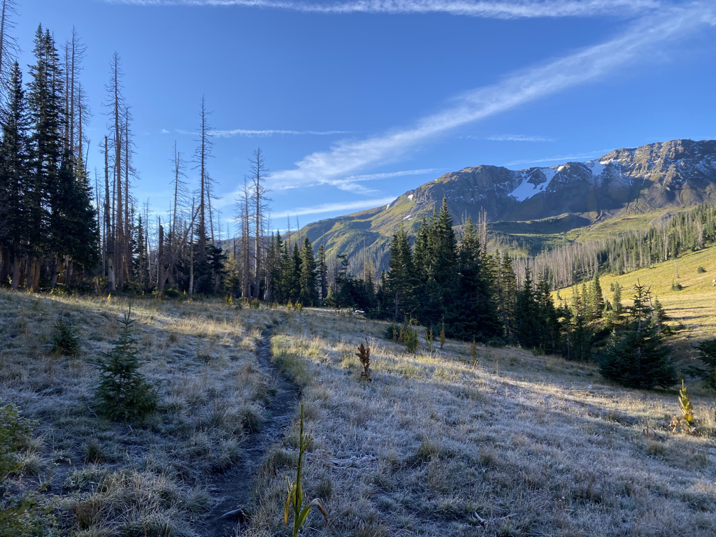
The final day of these types of trips typically involves hiking back downhill. We followed the Middle Fork of the Conejos River, making it the gentlest day of the trip. It is also almost always a day of de-layering. For most of us, it is not typical to see frost in September. Yet, this day switched from frost to being kind of warm pretty quickly.

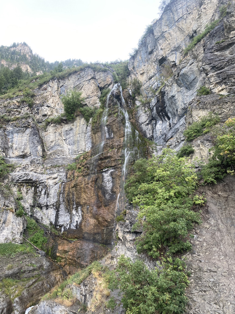
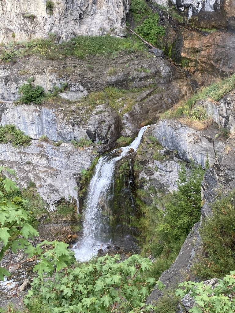
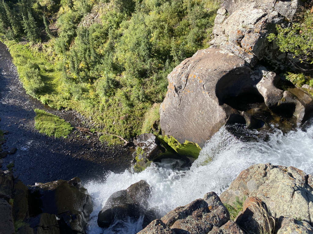
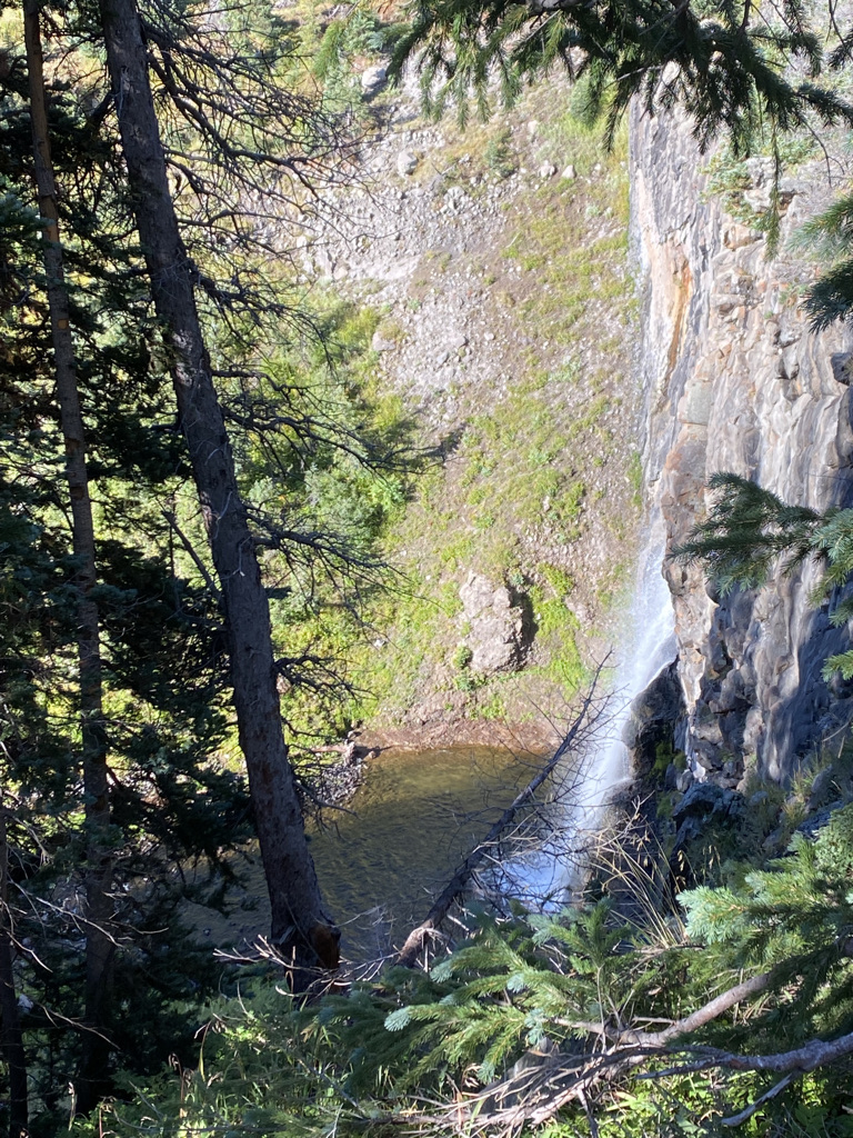
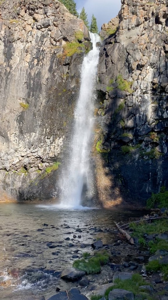
The best feature of the day, and the feature that made the trip was this unnamed waterfall.
It’s so far away from civilization, so infrequently traveled that a name for this waterfall could not be found on the map. We saw it from several angles, including having seen it the prior day from the other side of the ridge to the south.

In life, it is natural to seek comfort. Being uncomfortable is not fun. Unfortunately, the prioritization of comfort and conveniences has denied many of us the most amazing experiences. Nothing on this trip was possible without a little bit of discomfort. However, while we did have one miserable evening, we did manage to avoid a second by springing for a hotel room in Monte Vista along the way down.
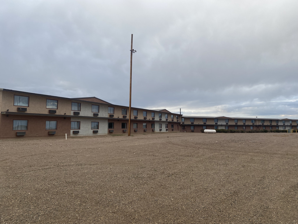
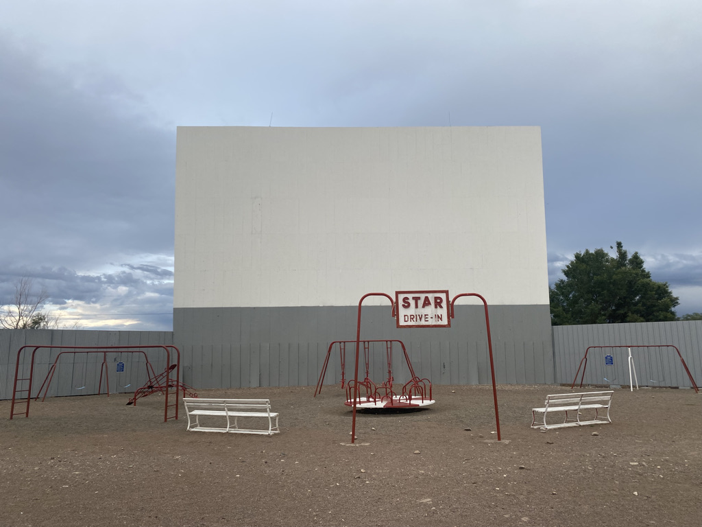
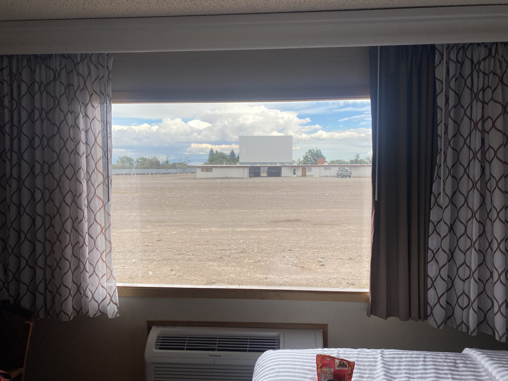
The Best Western Movie Manor is one of those unique hotels with a drive in movie, where visitors can actually watch a movie from their rooms, out the window. With this choice, we managed to avoid some discomfort without having it cost us any of the experiences we would have the next three days. Maybe it is possible to use our natural drive for comfort, but do so in a way that still recognizes that having the experience is the ultimate priority.