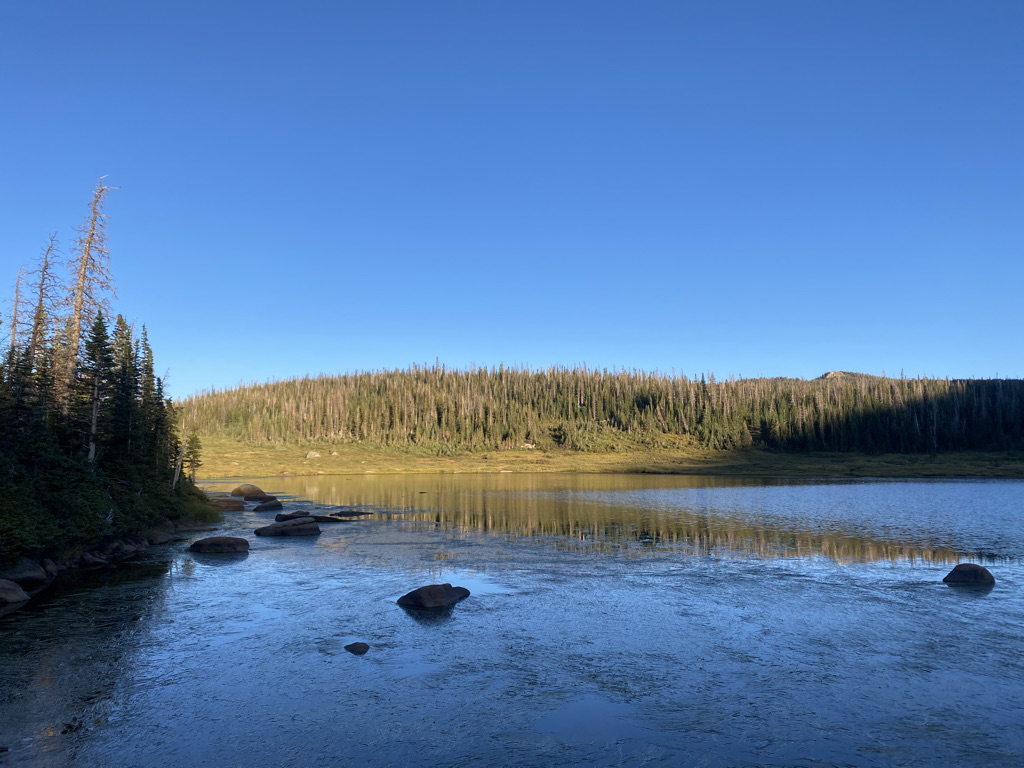
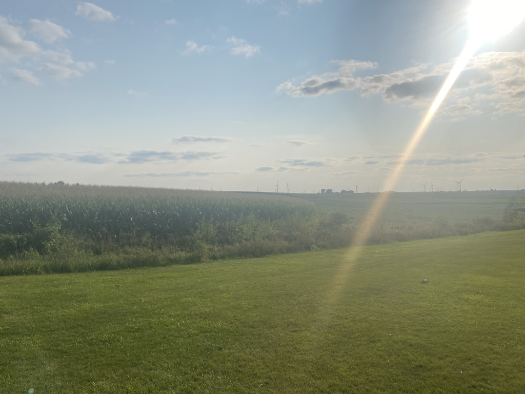
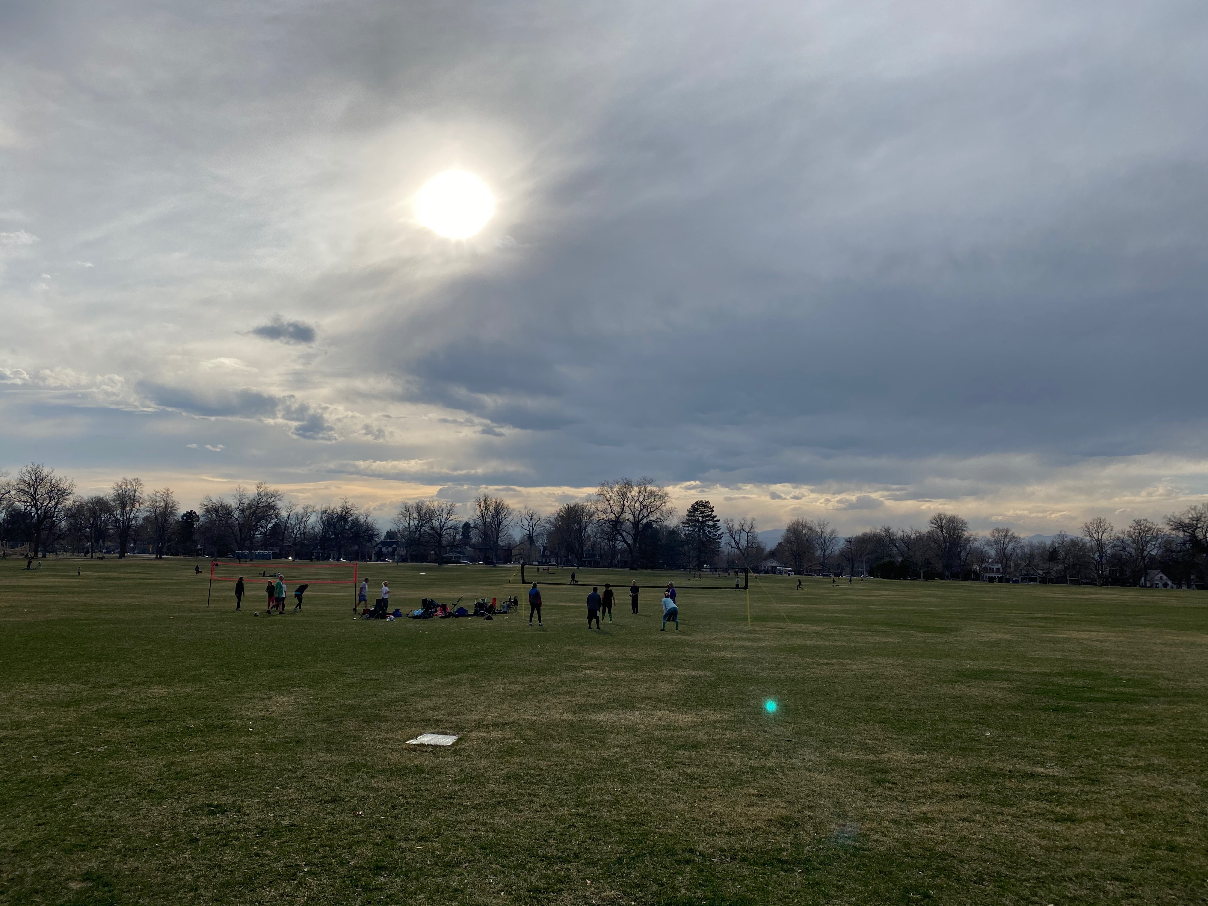
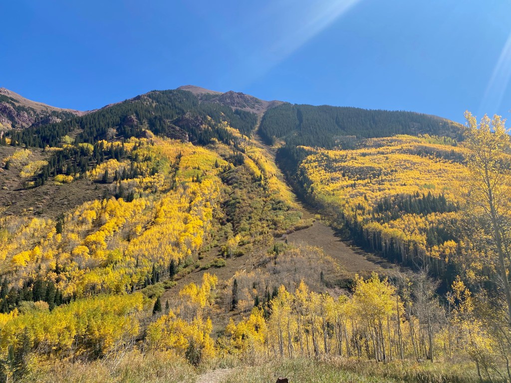
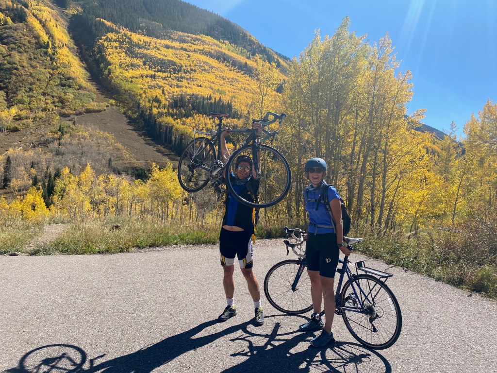
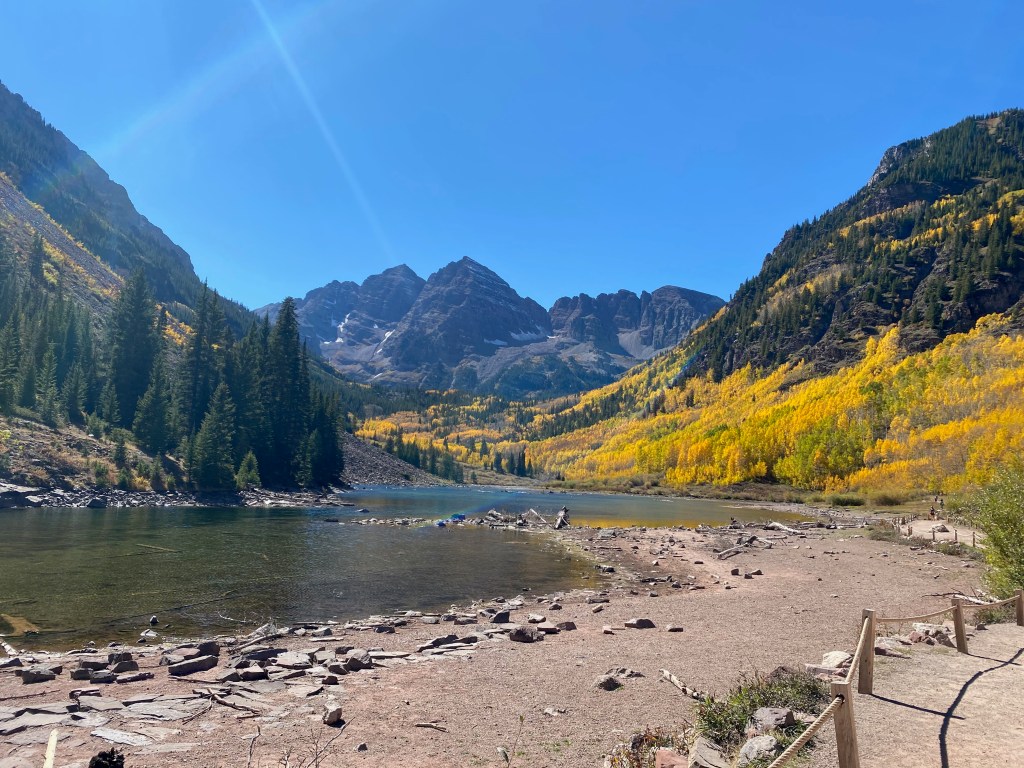
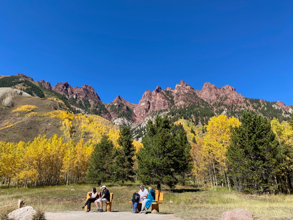
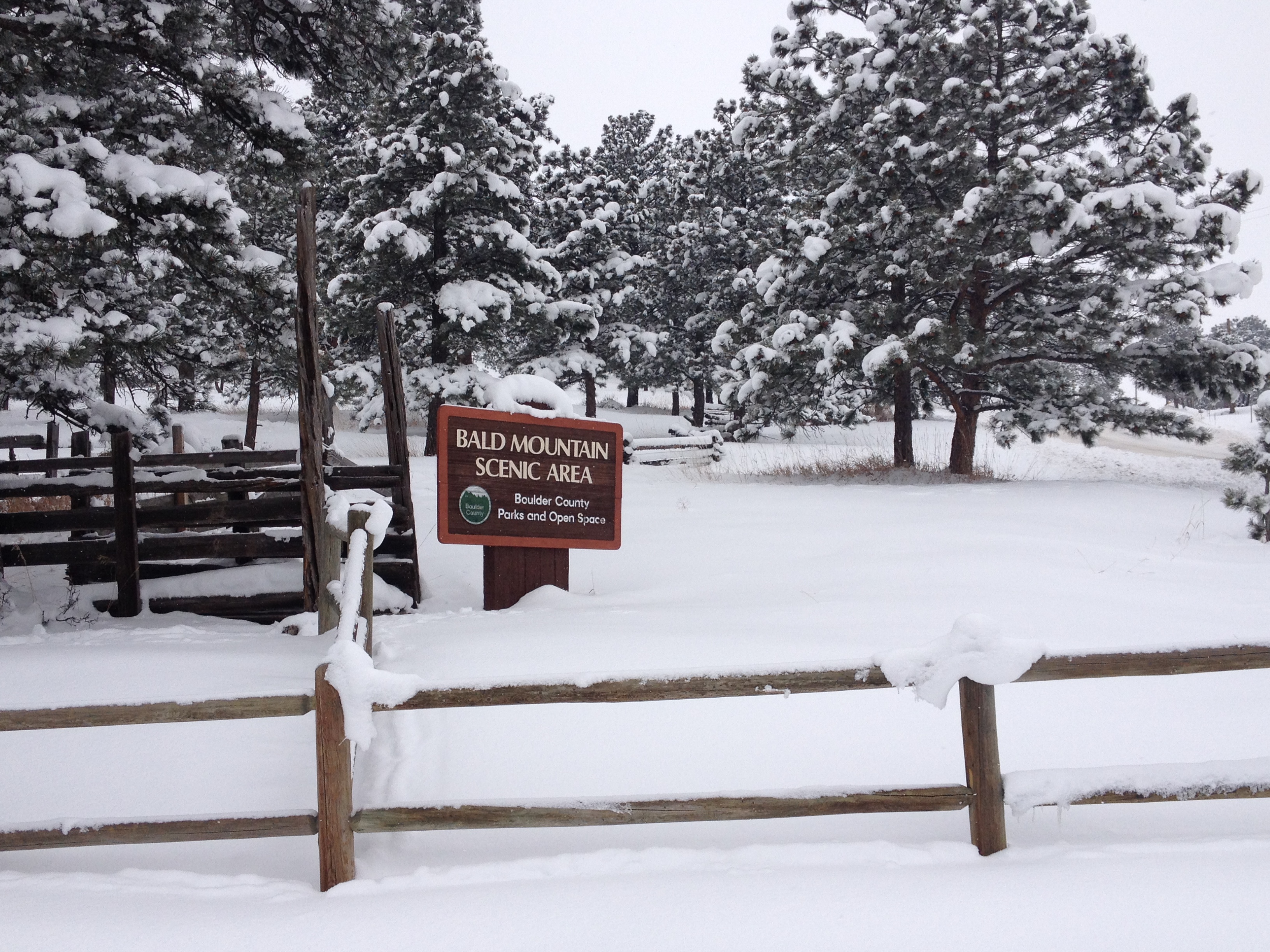
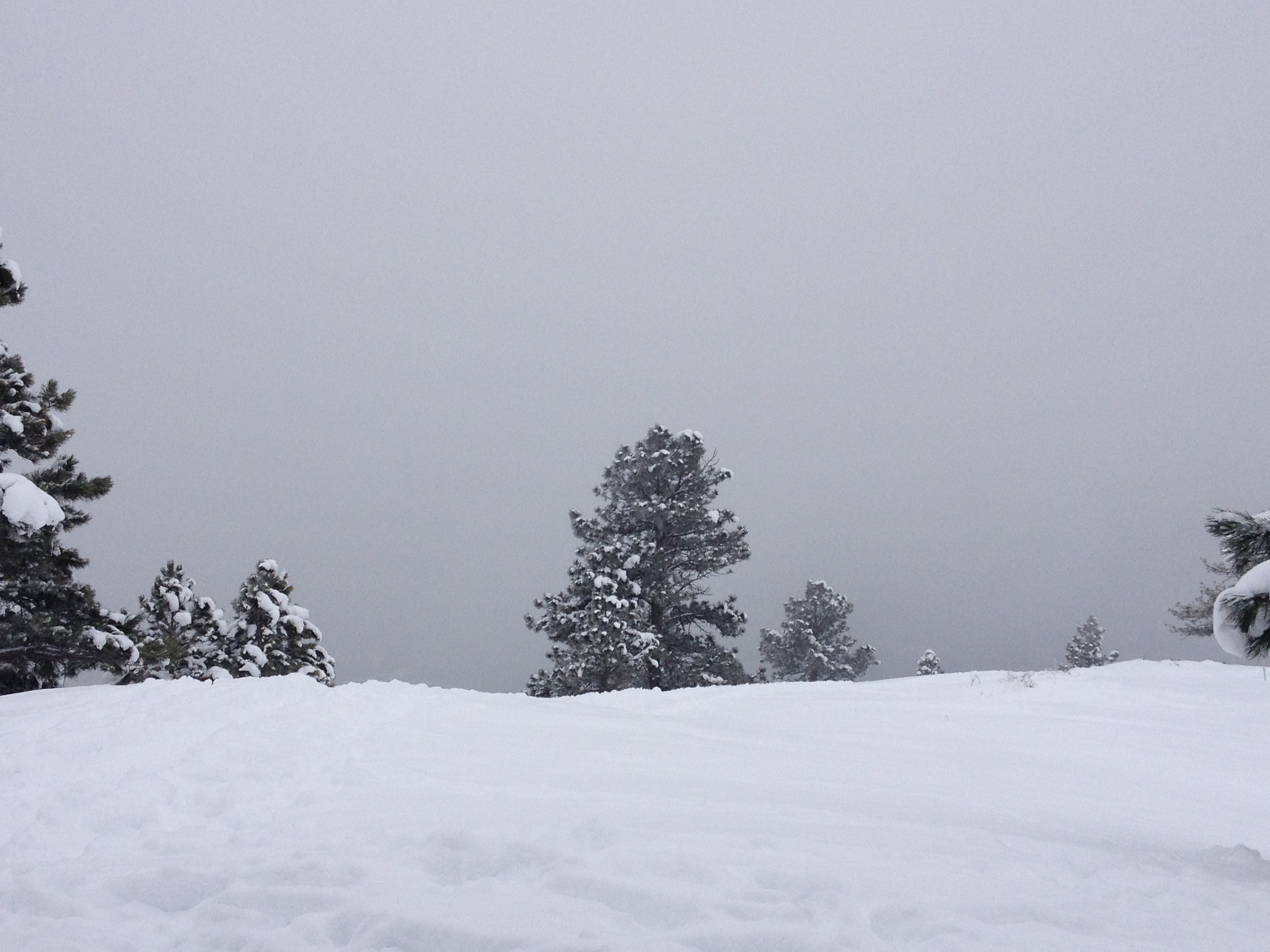
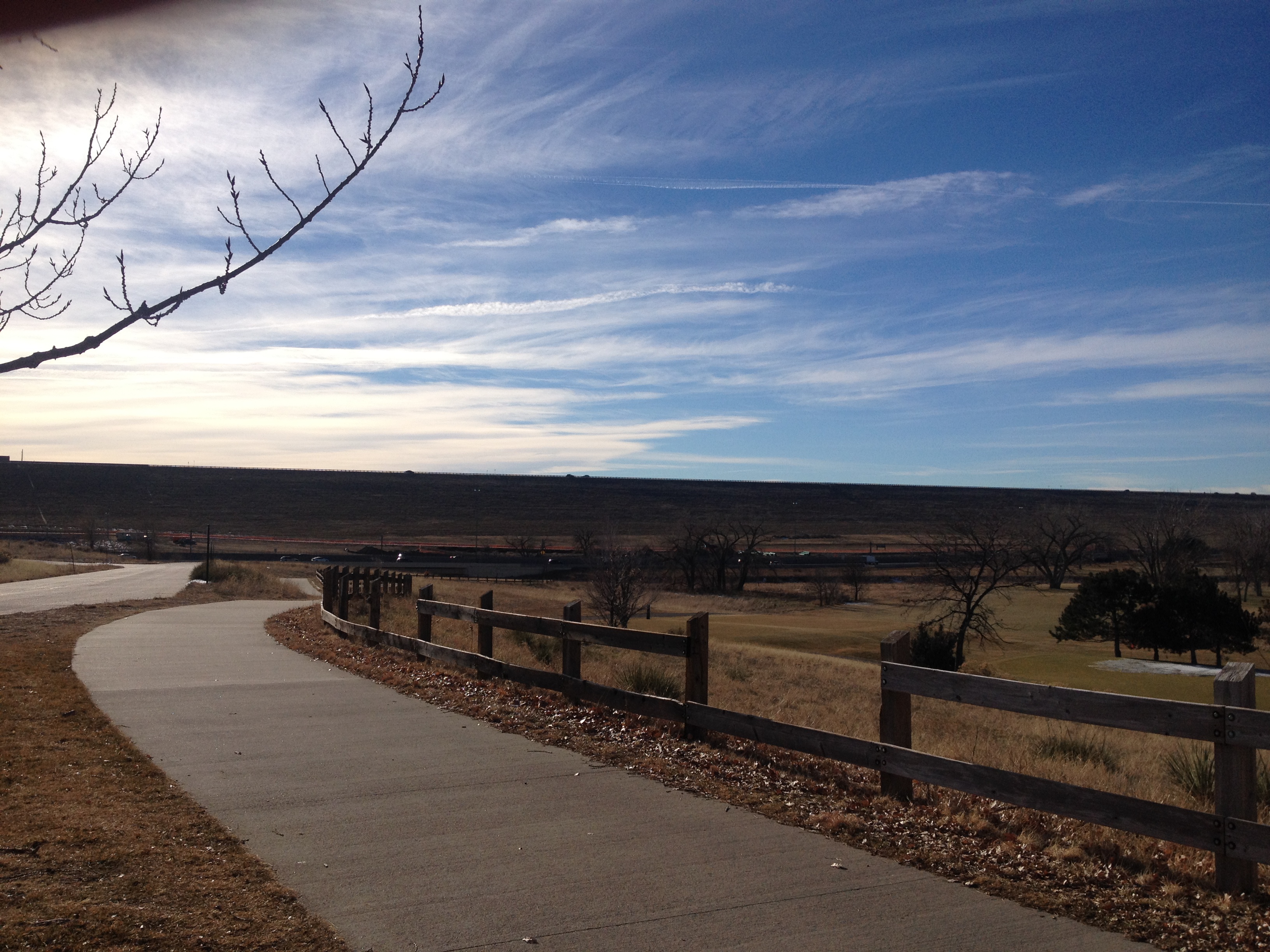
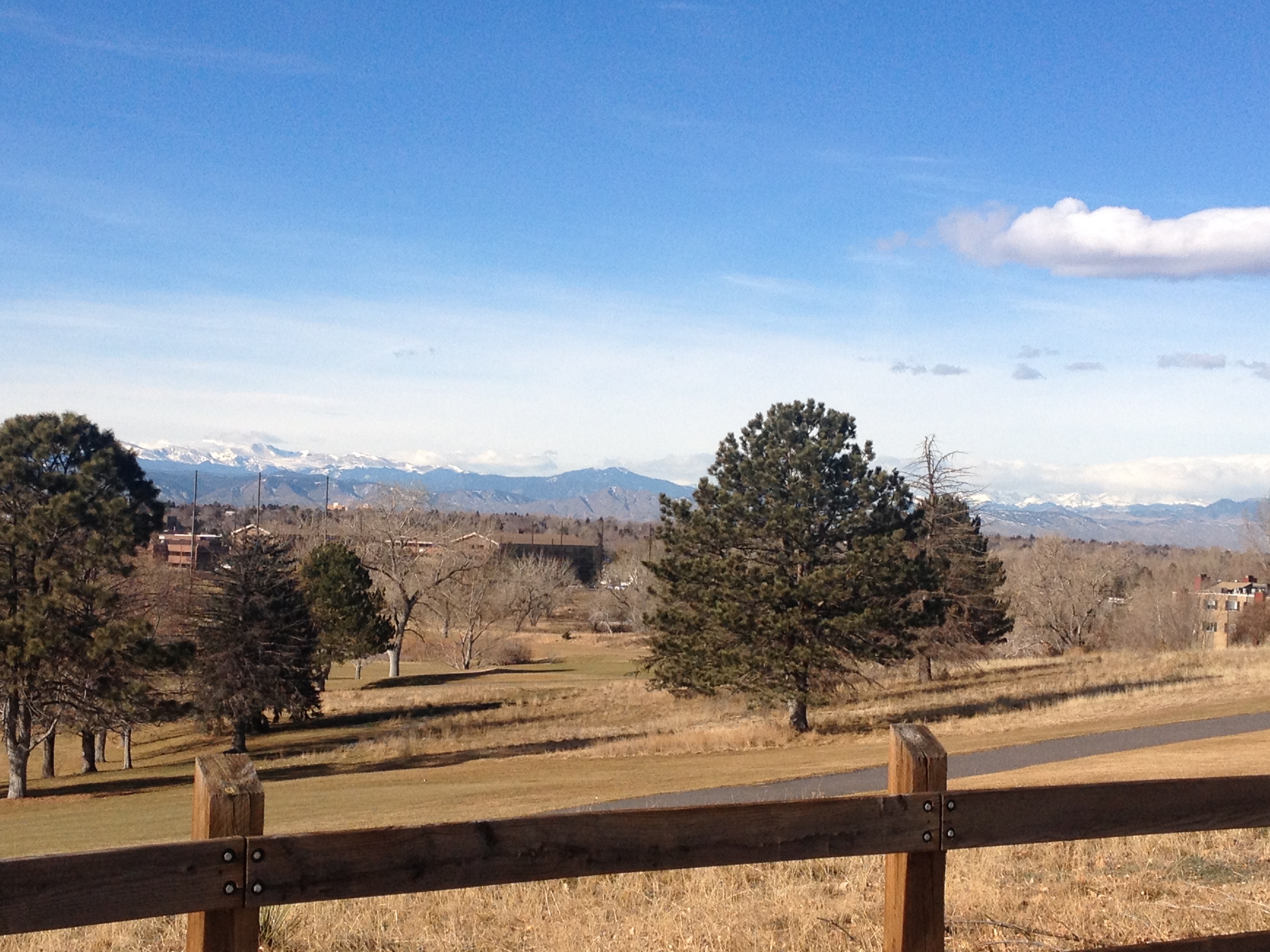
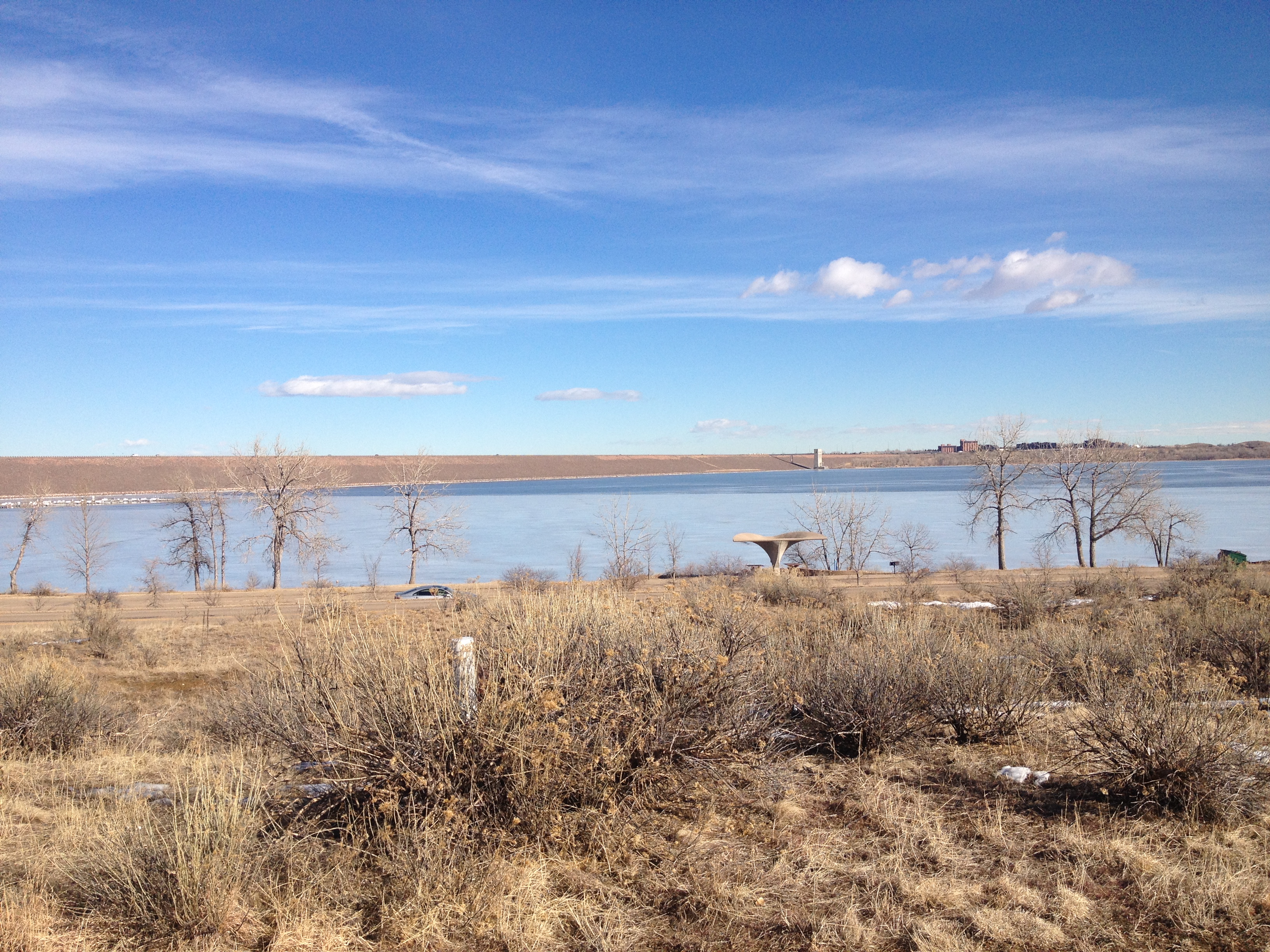
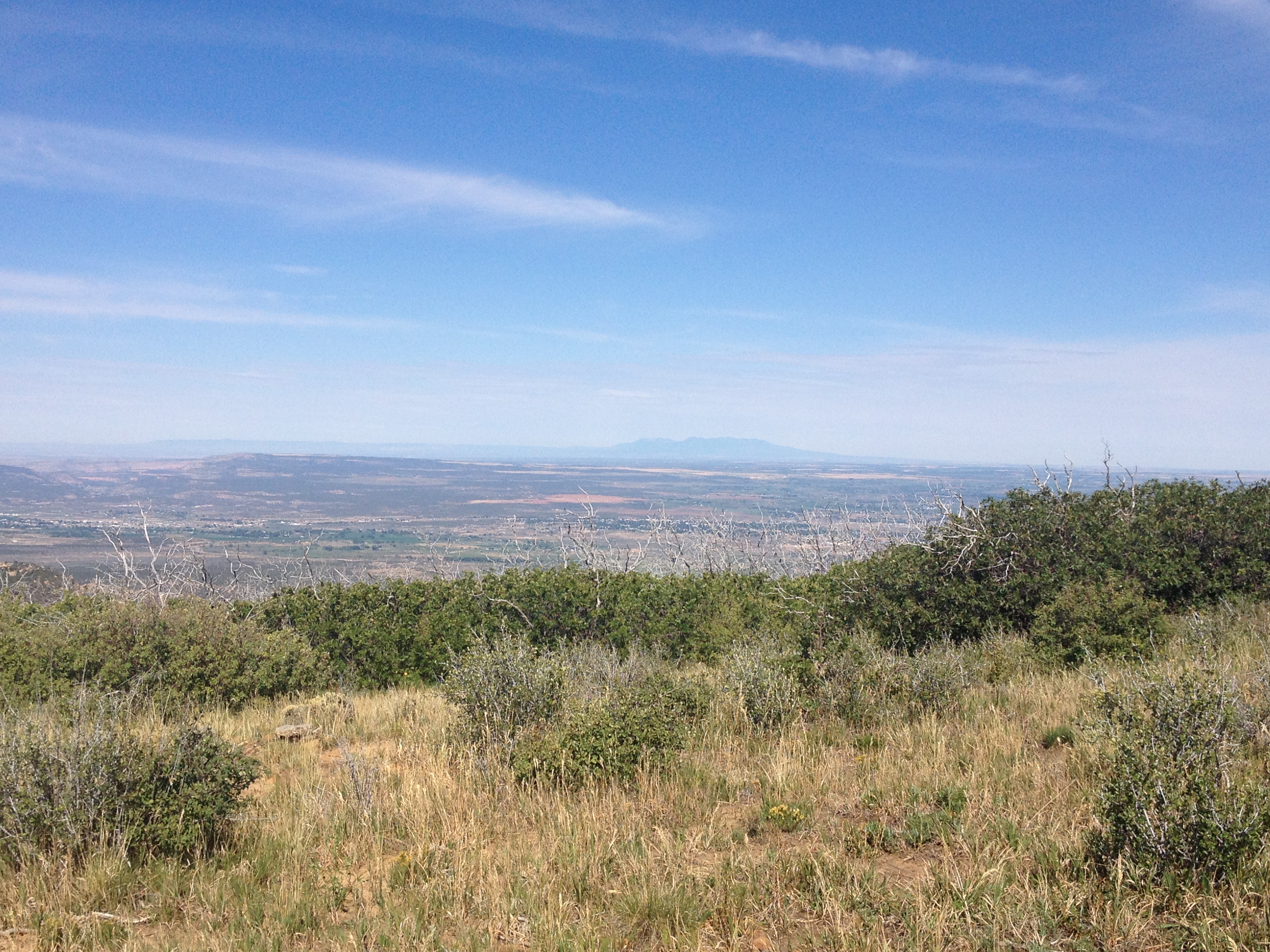
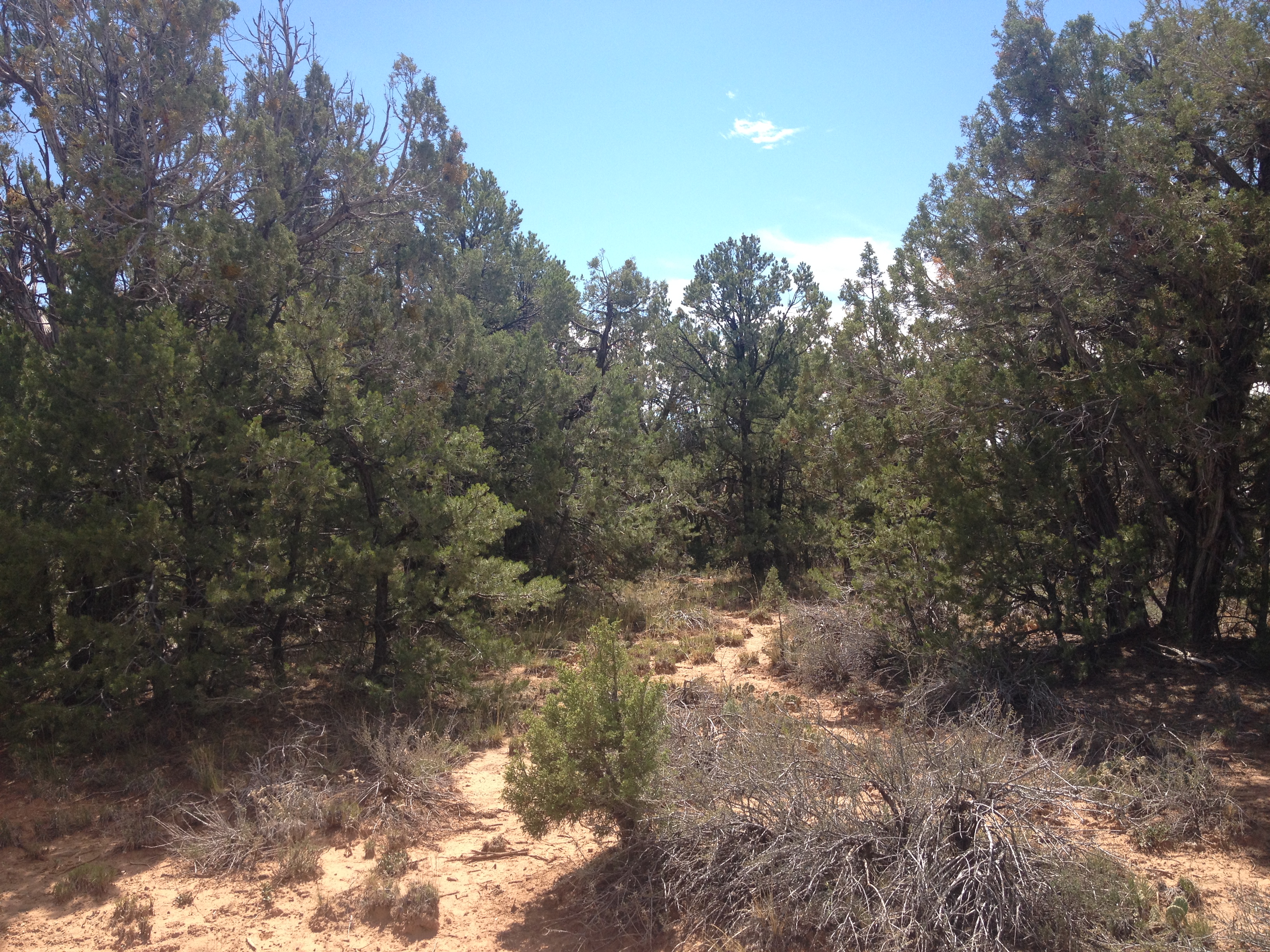
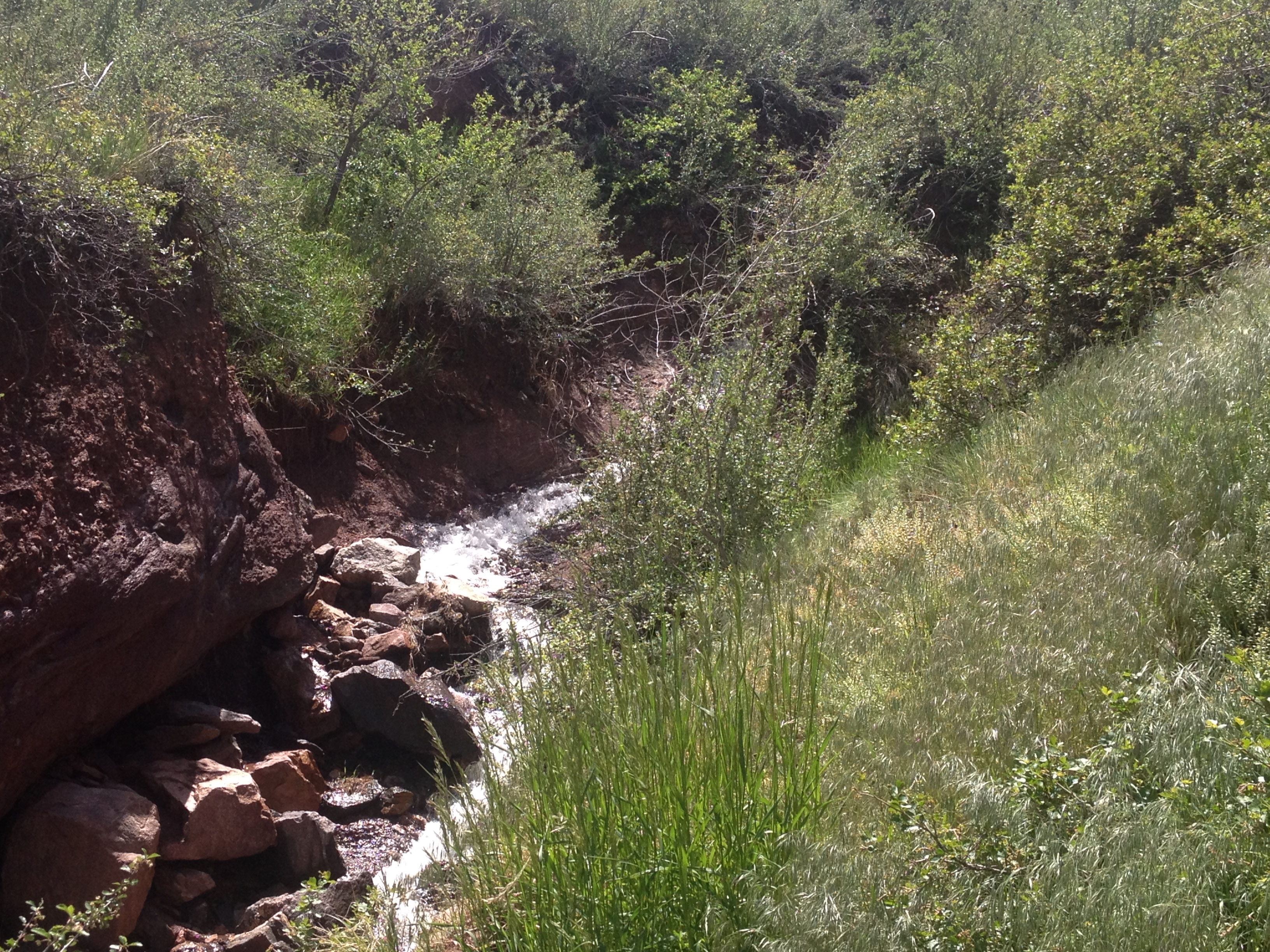
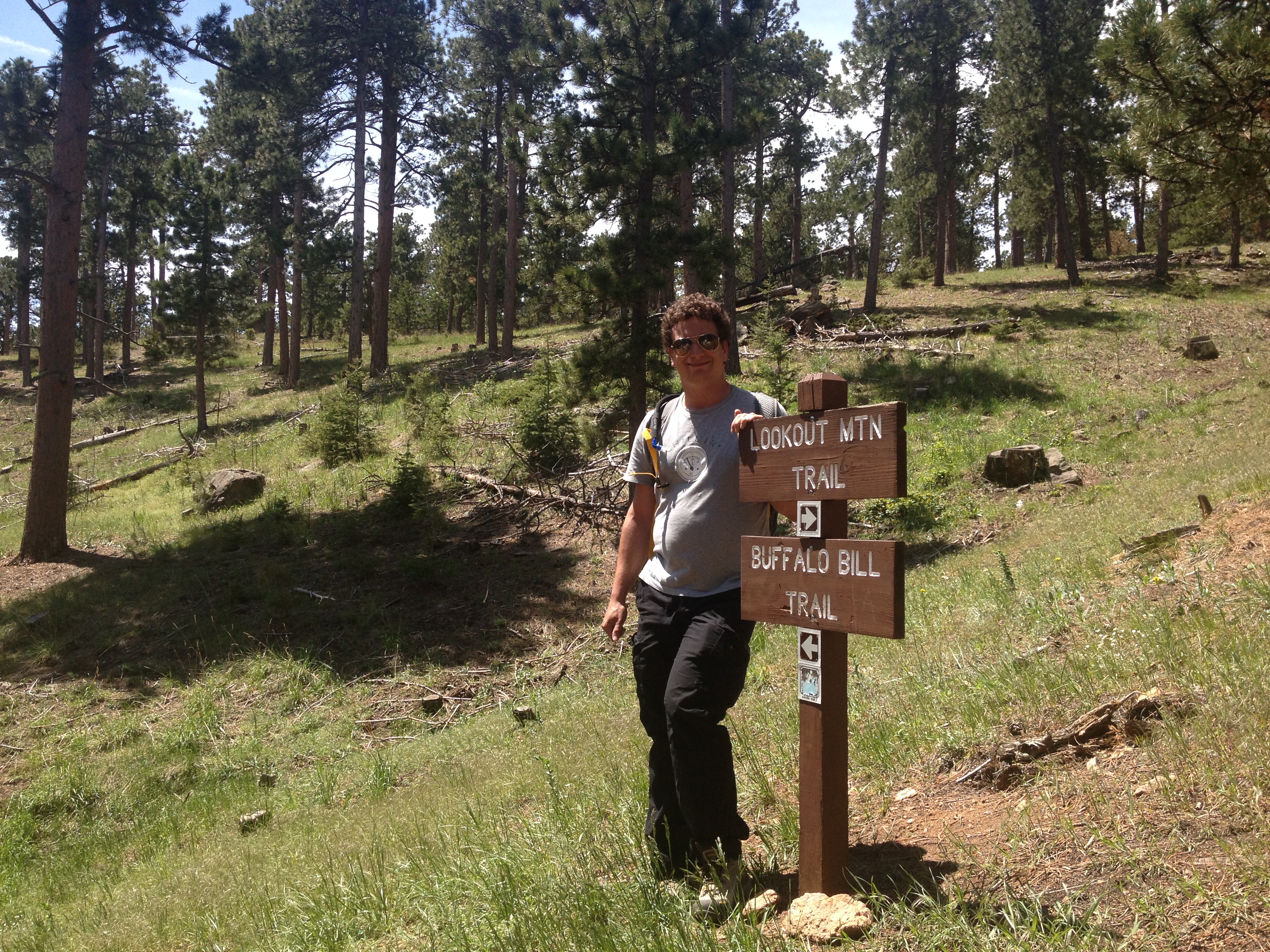
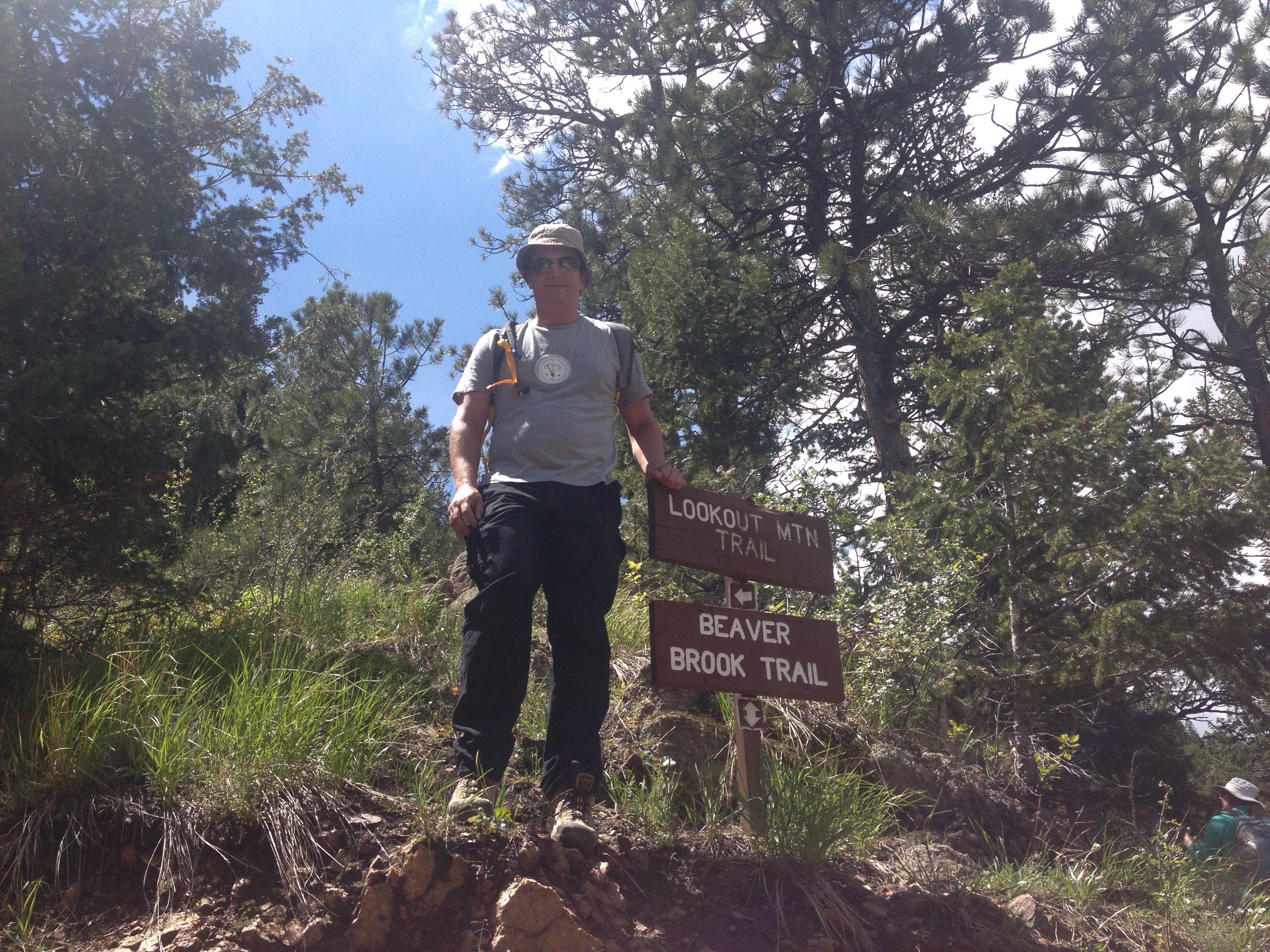
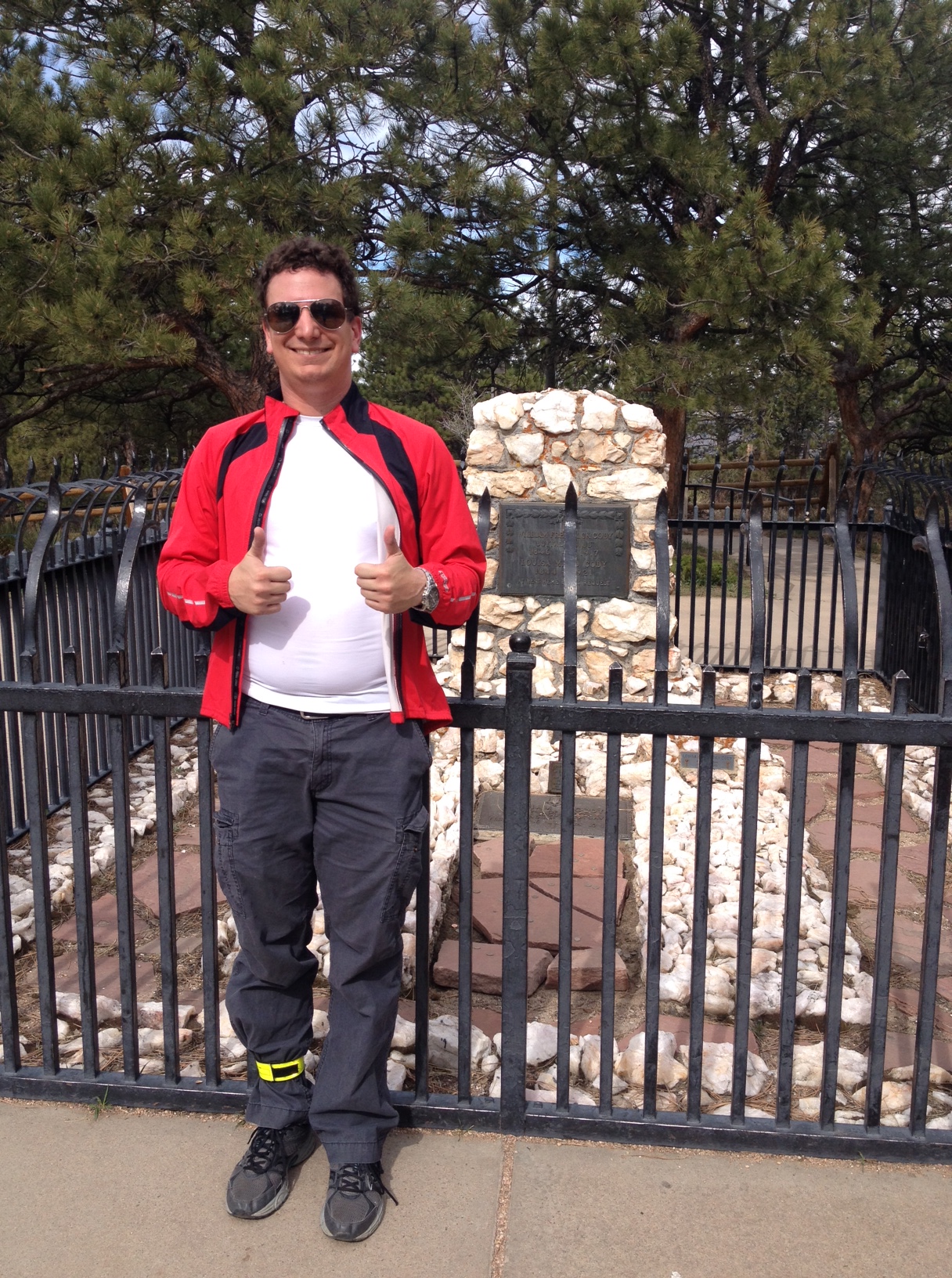
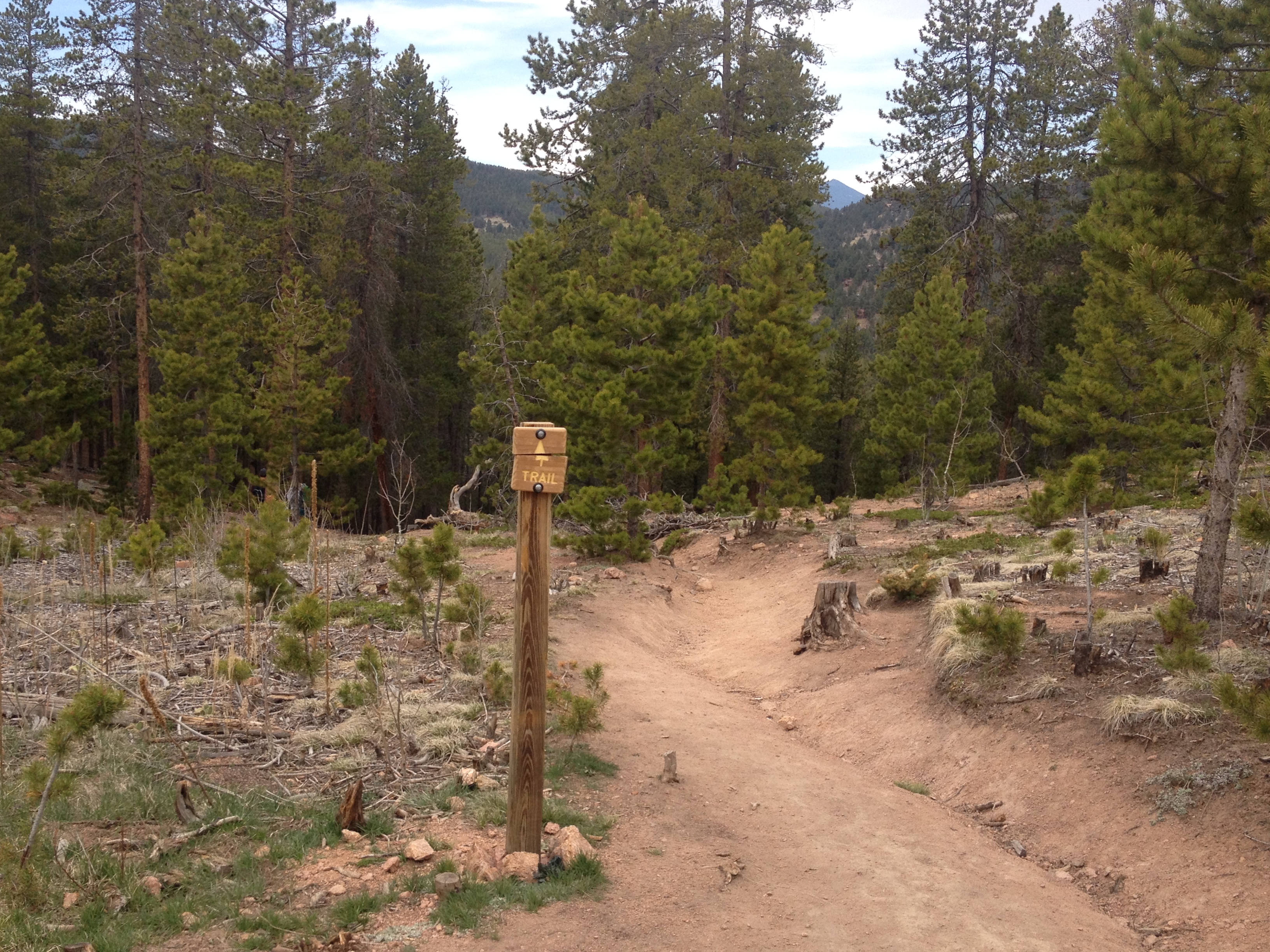
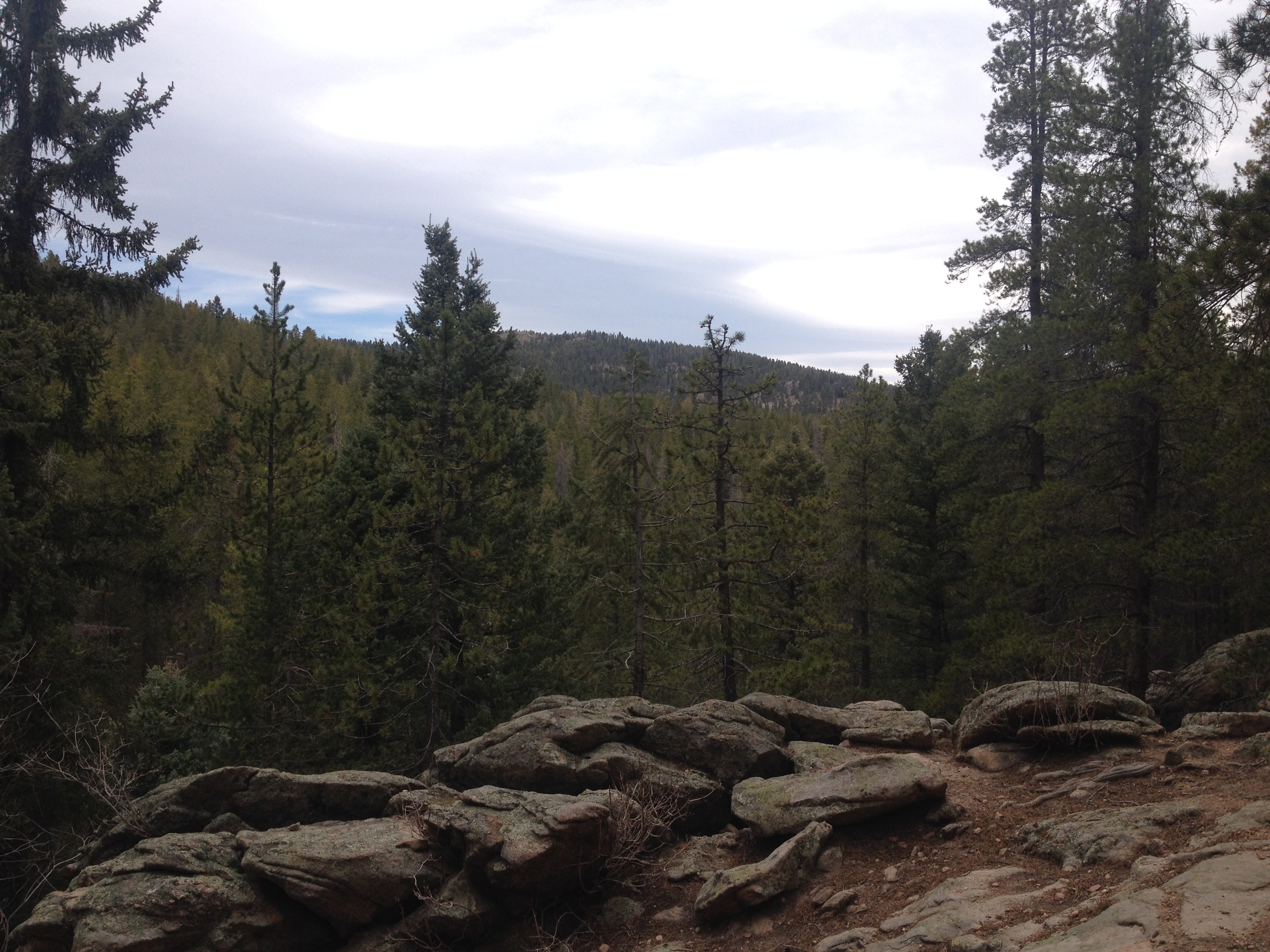
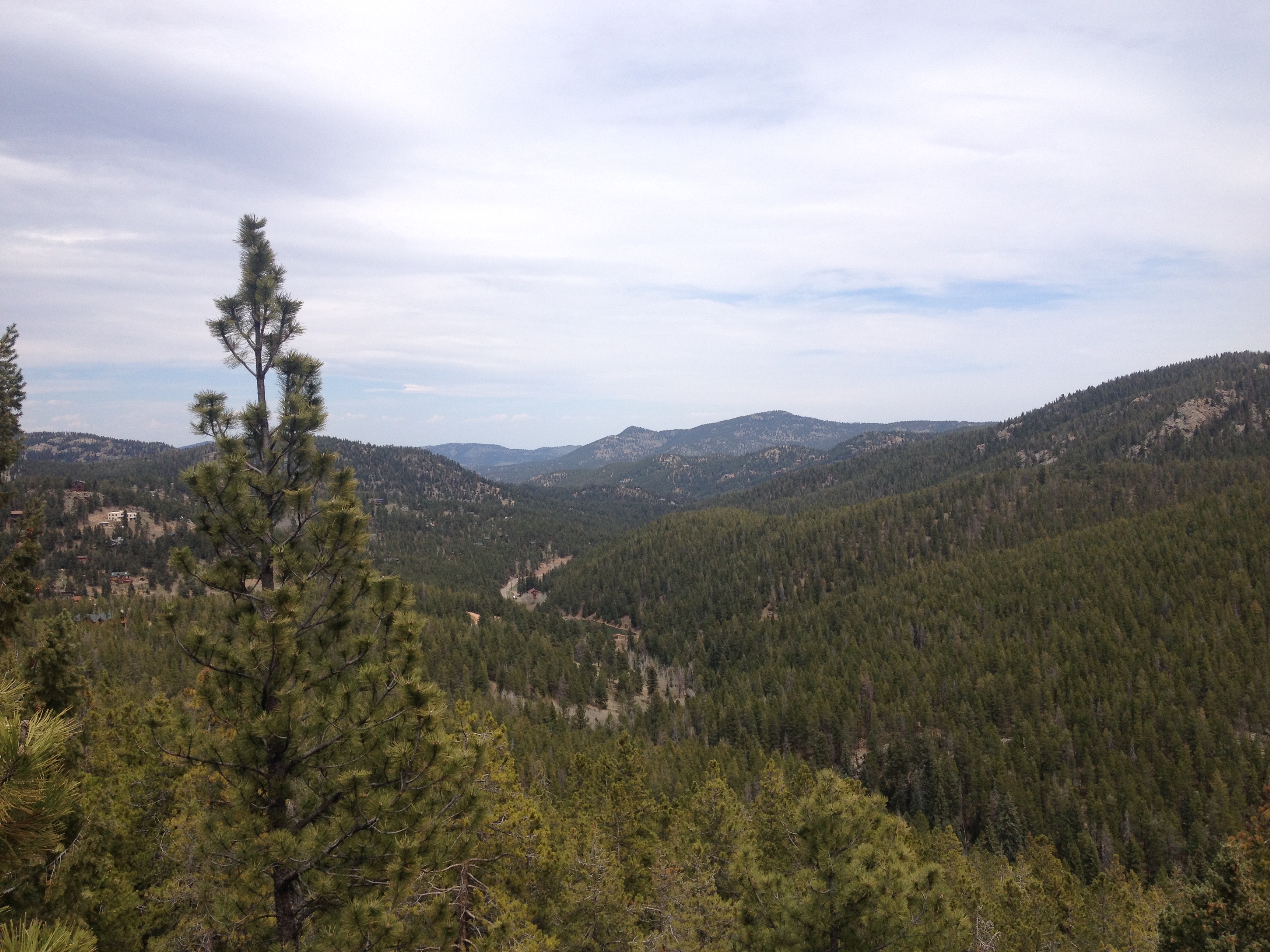
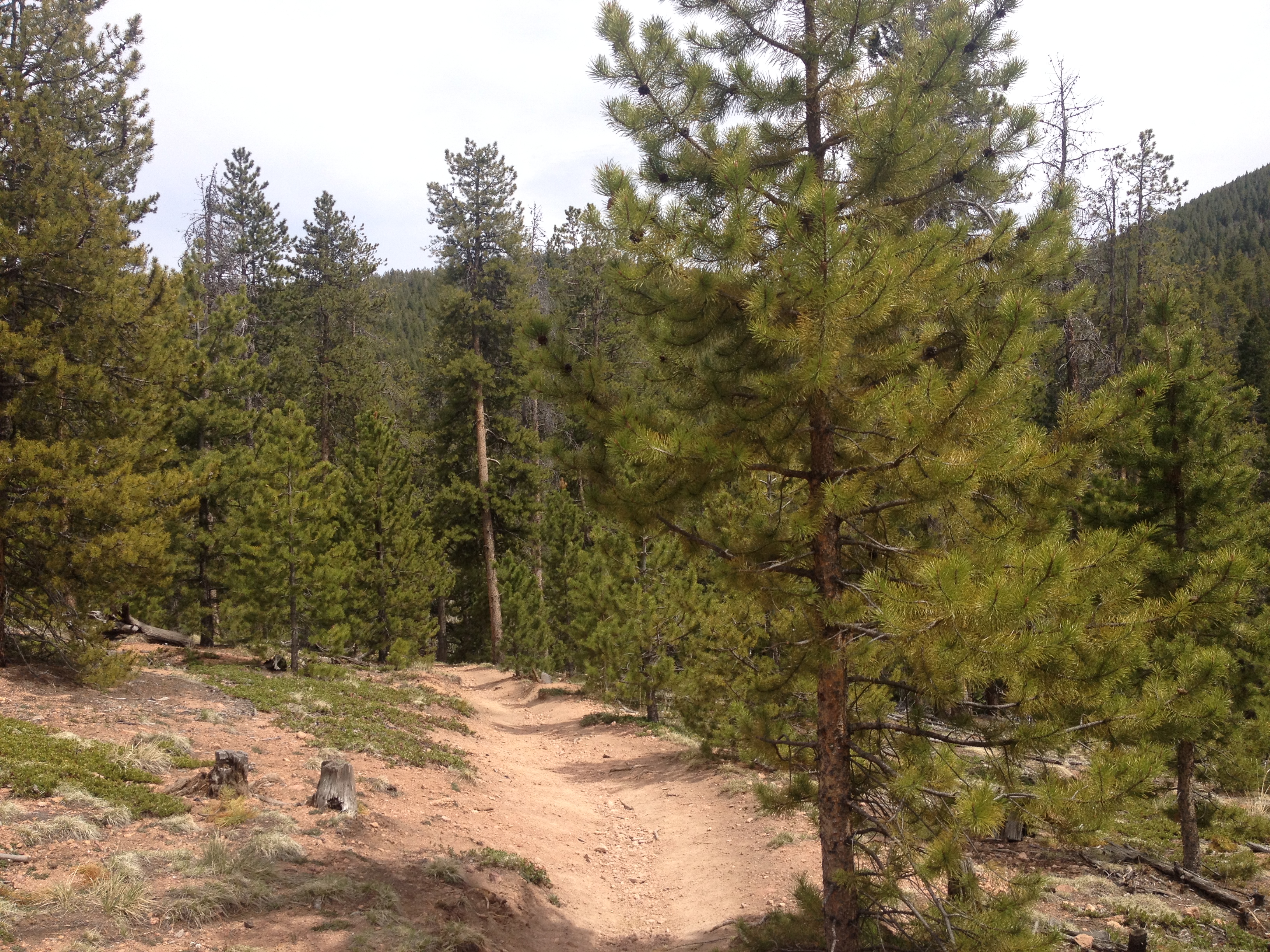
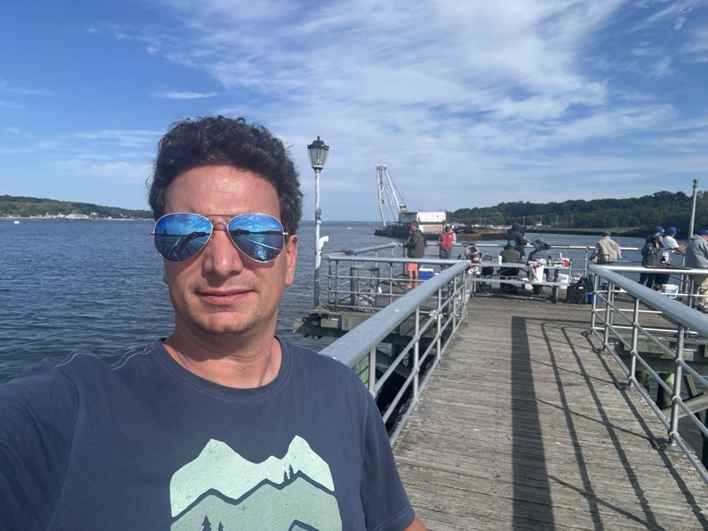
2024 was not without adventures. As is typical of life in Colorado, there was plenty of skiing the first few months of the year.

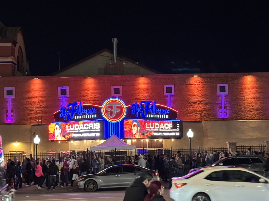
I ended up going to to 28 concerts!
I went to Arkansas to see the eclipse in April.

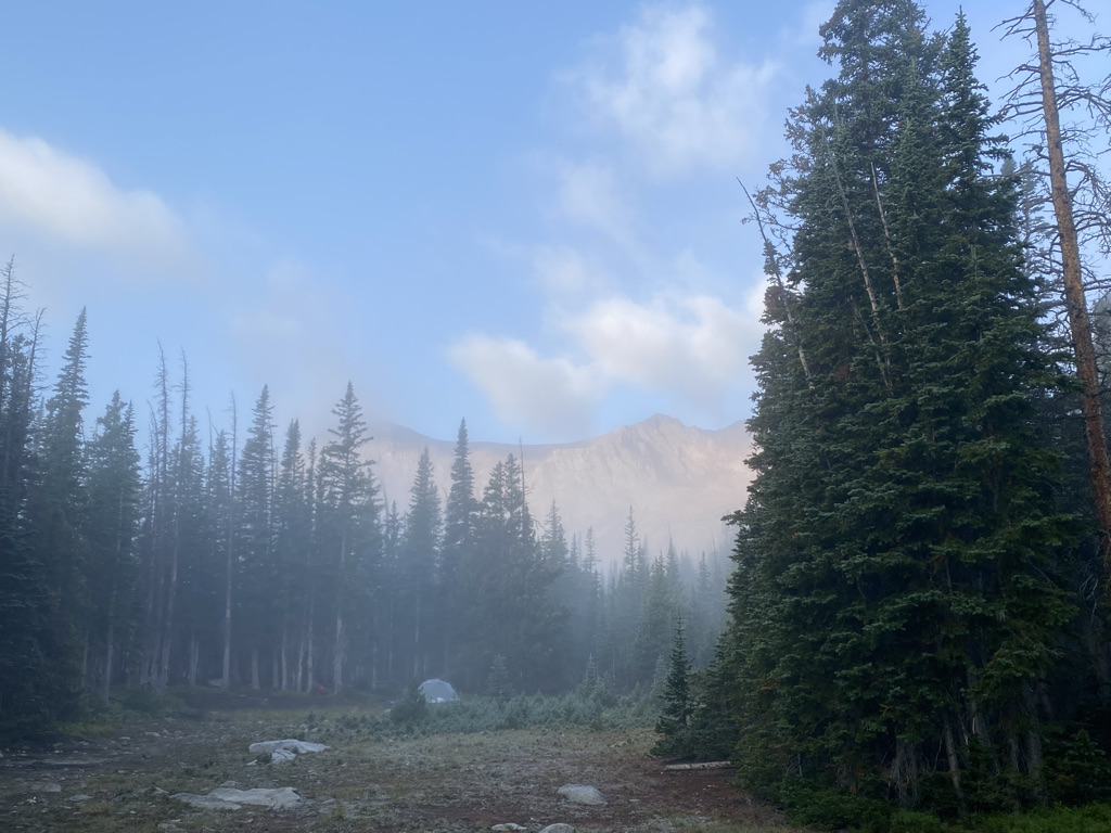
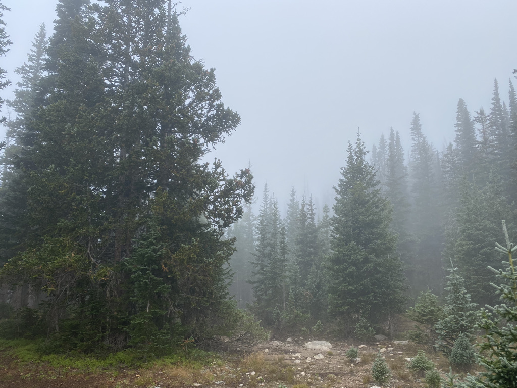
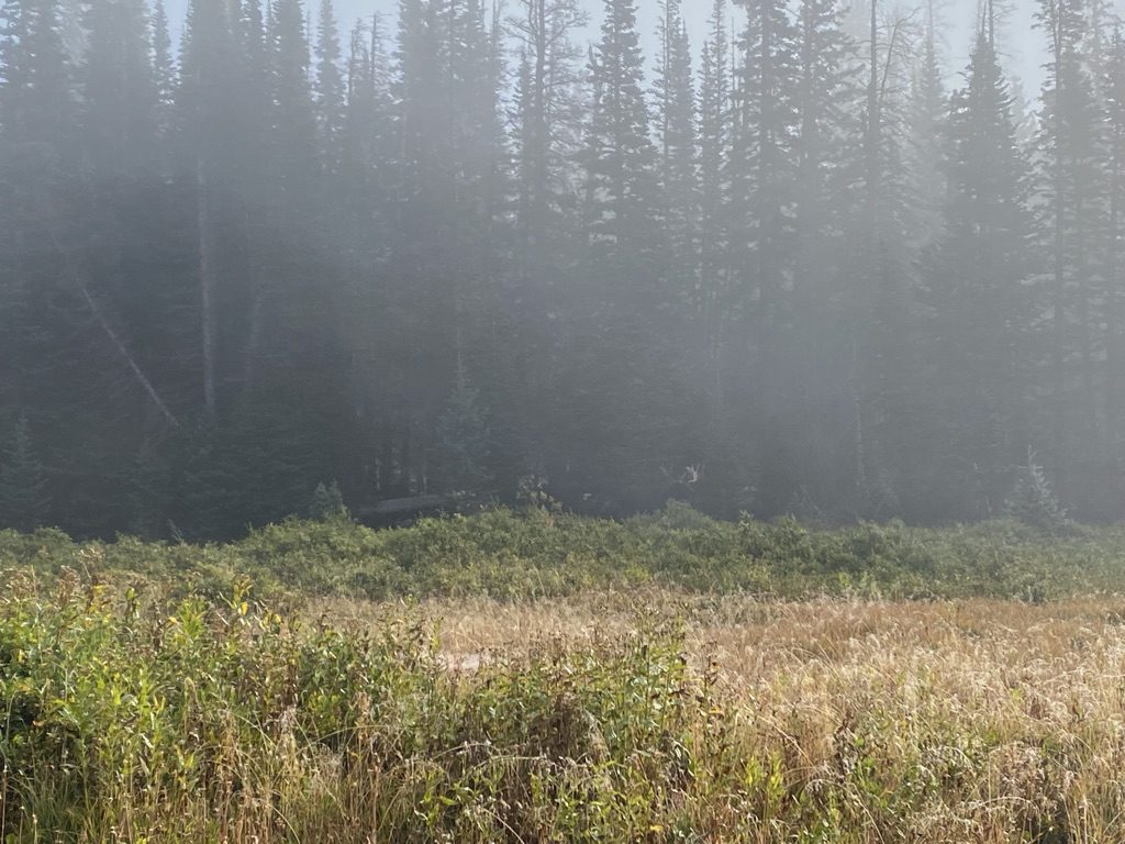
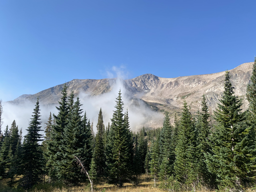
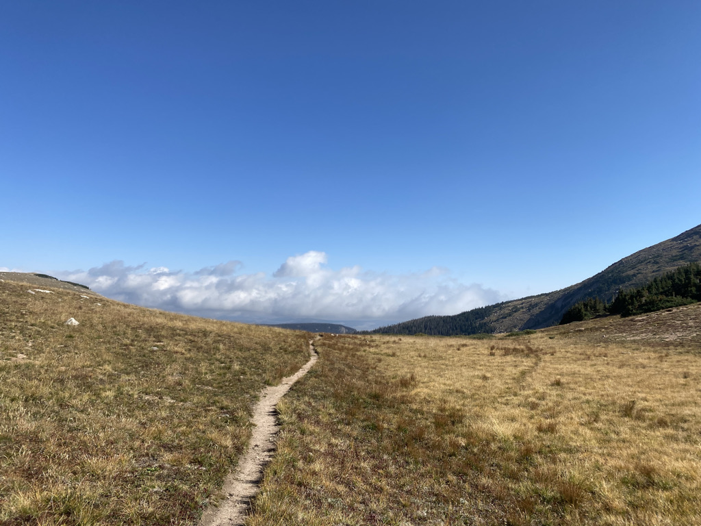
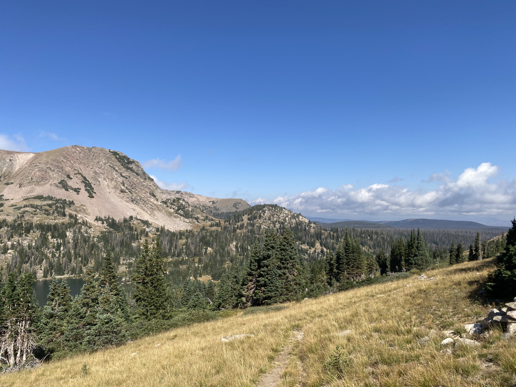
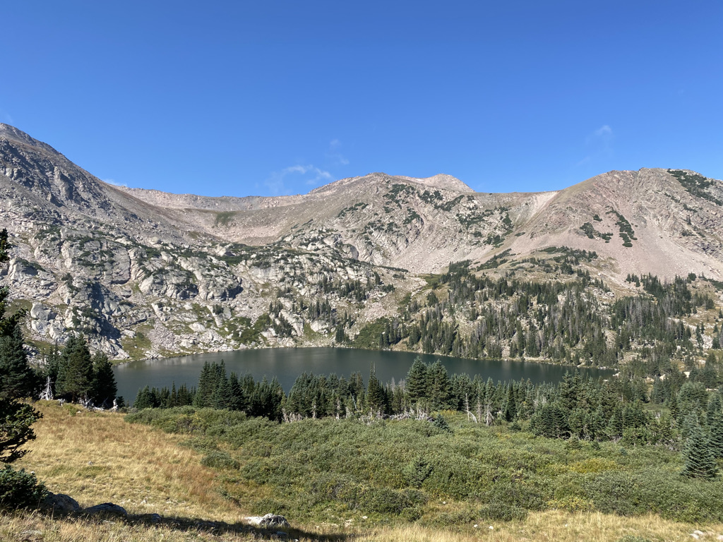
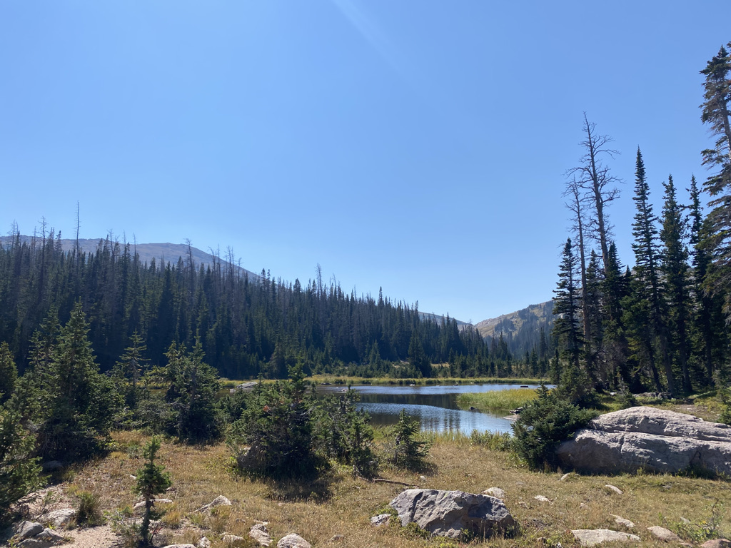
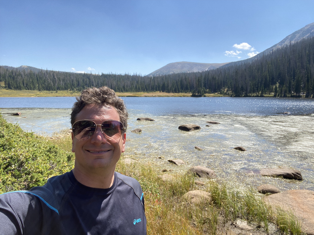
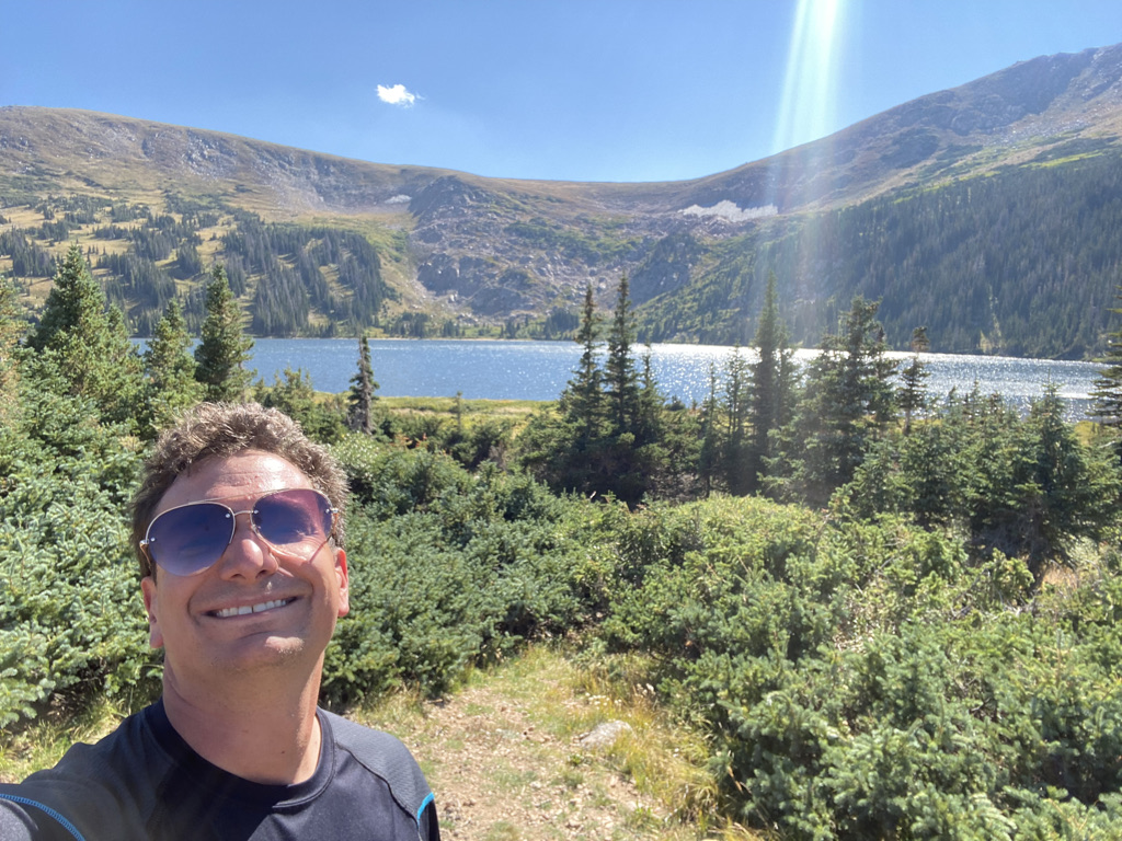
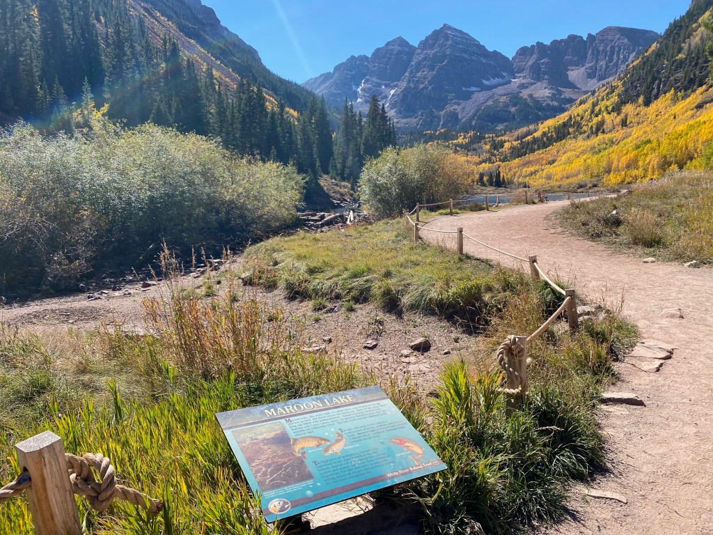
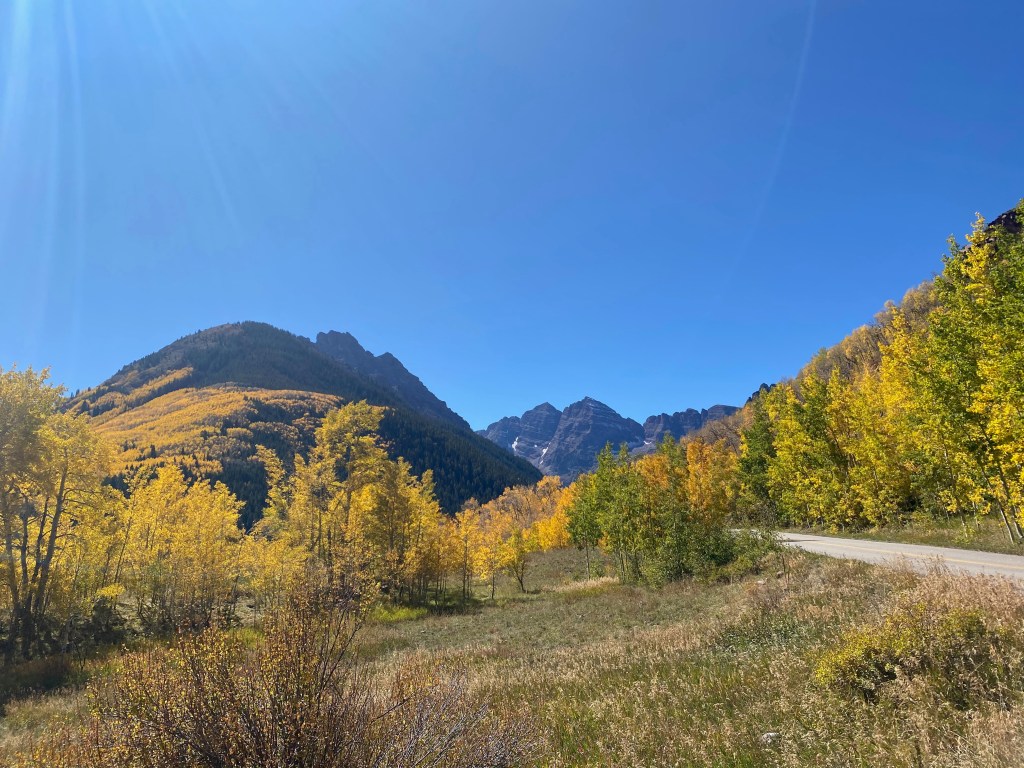
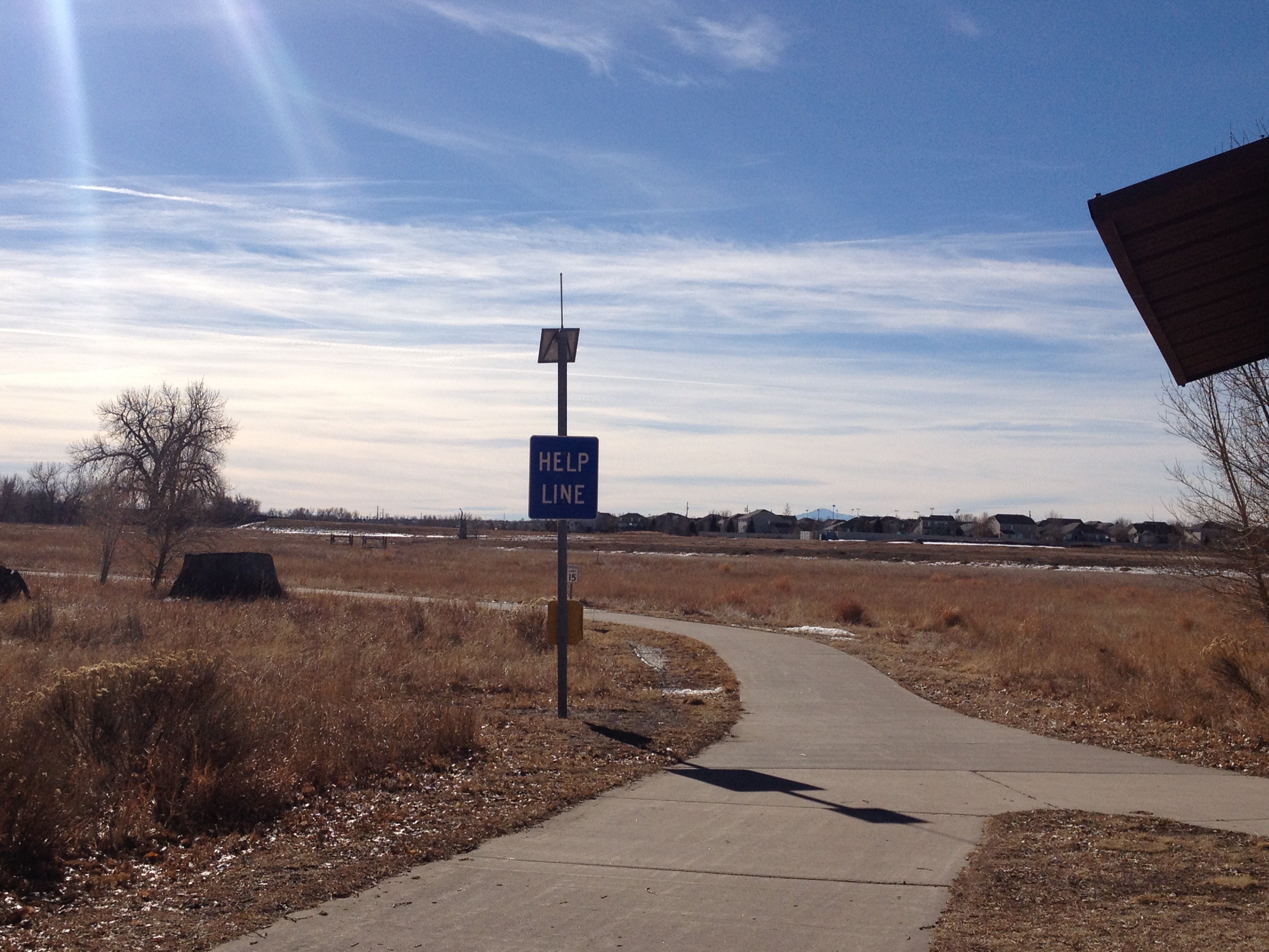
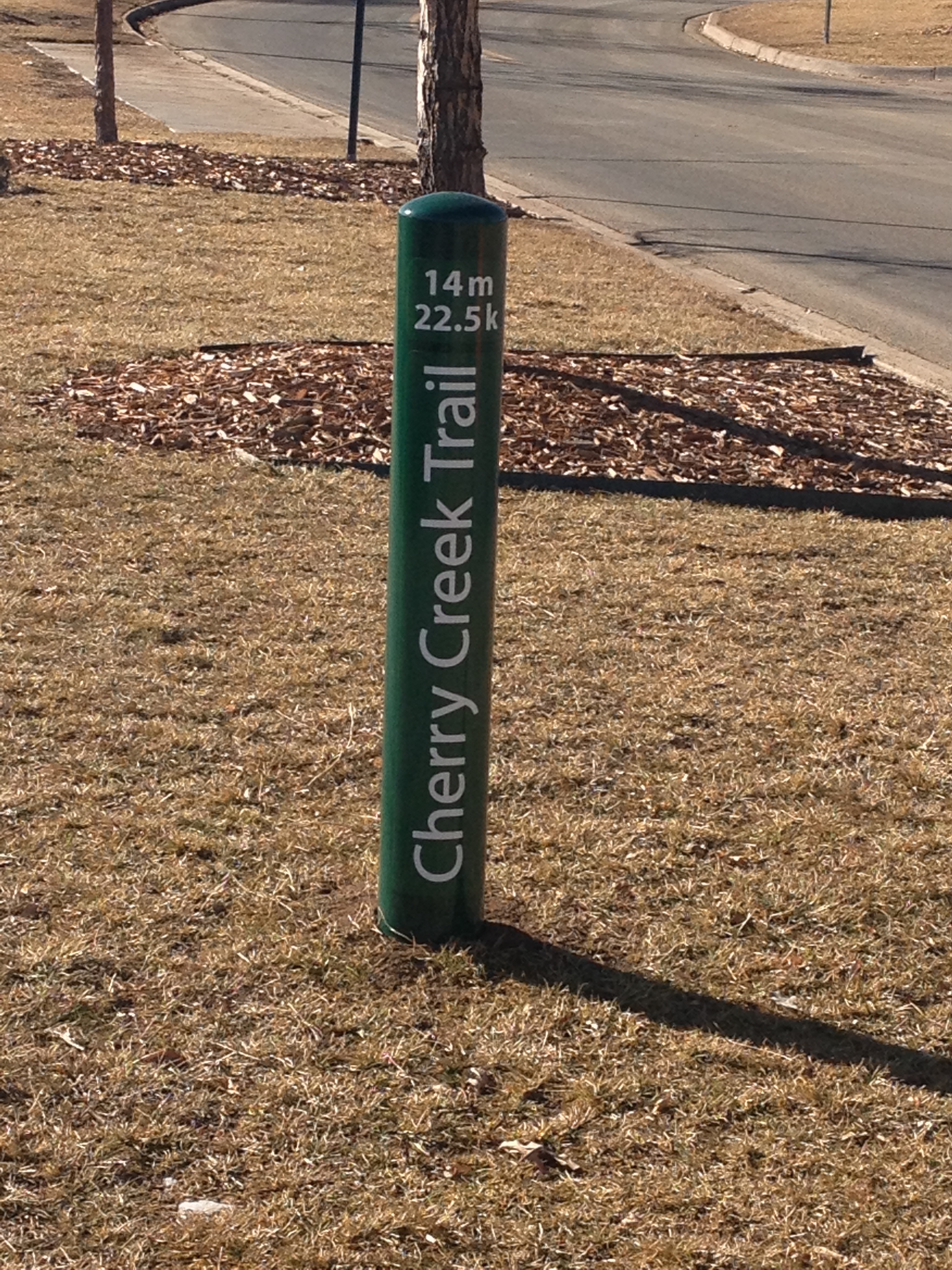
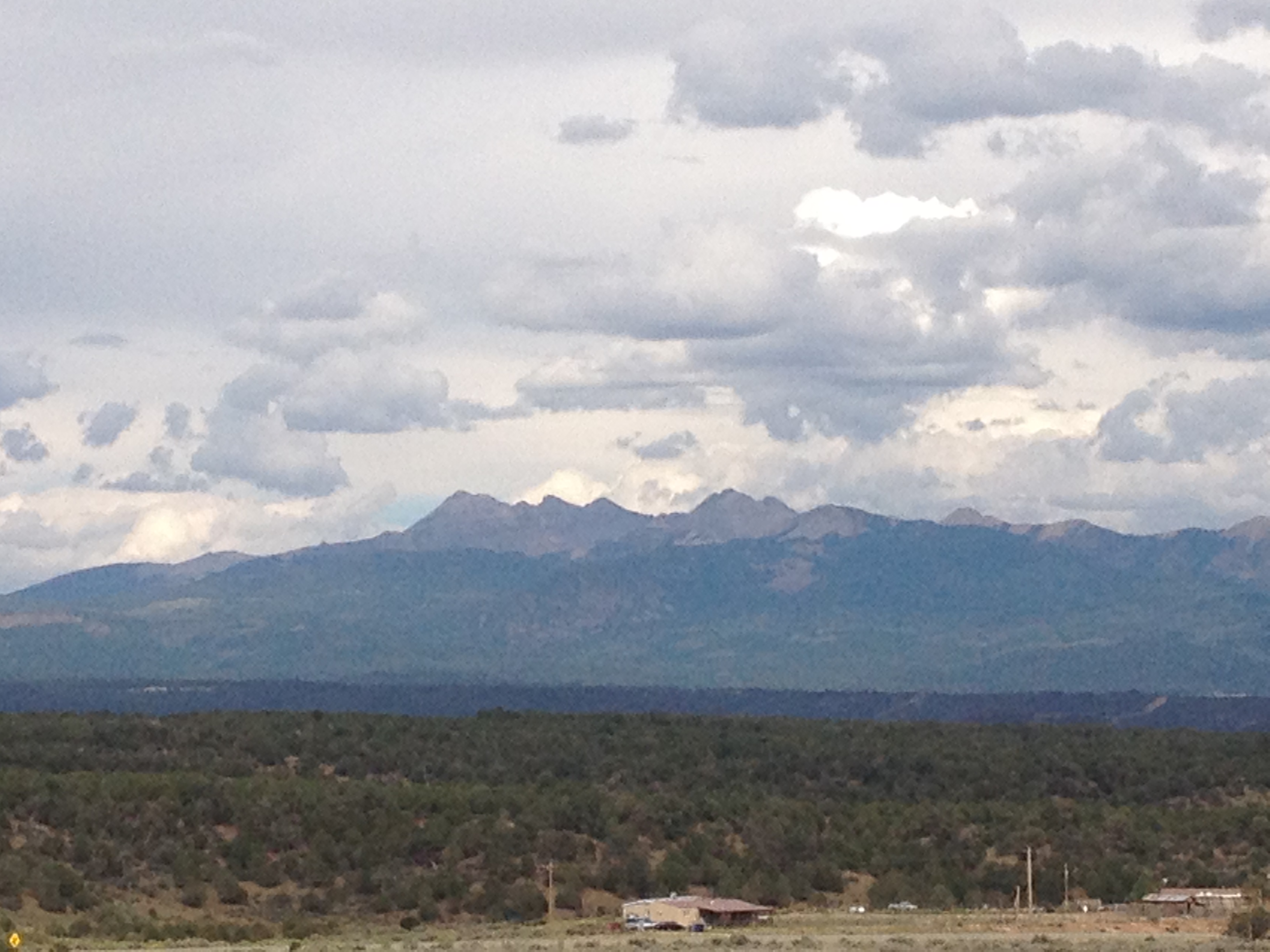
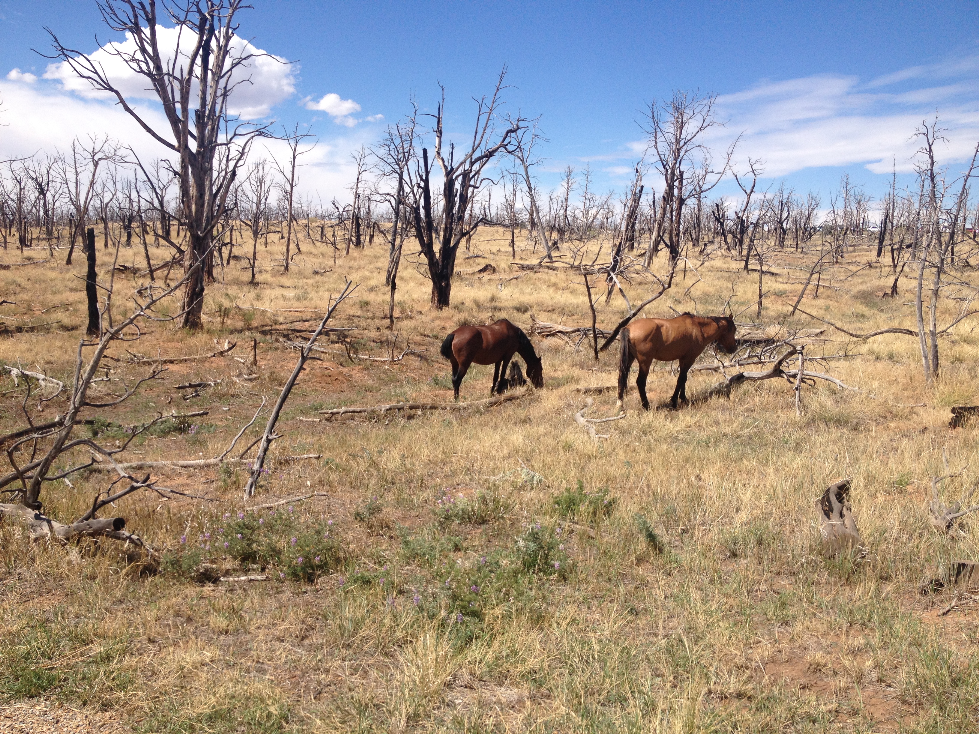
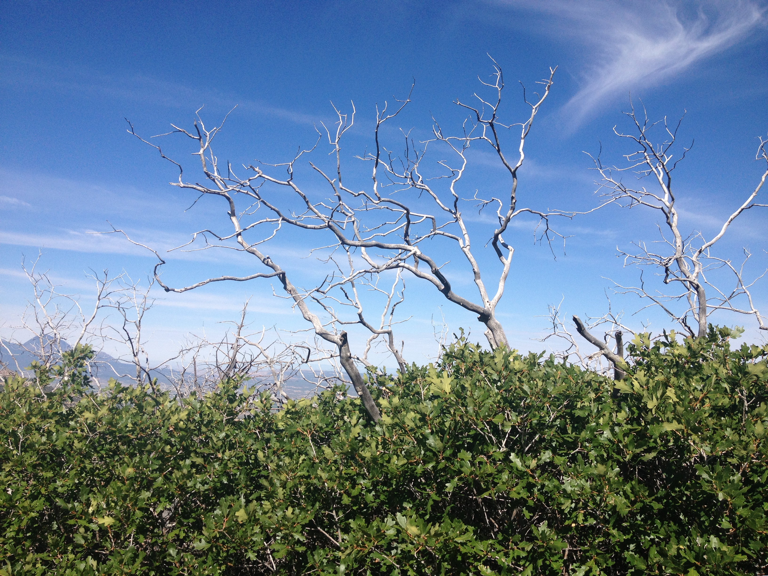
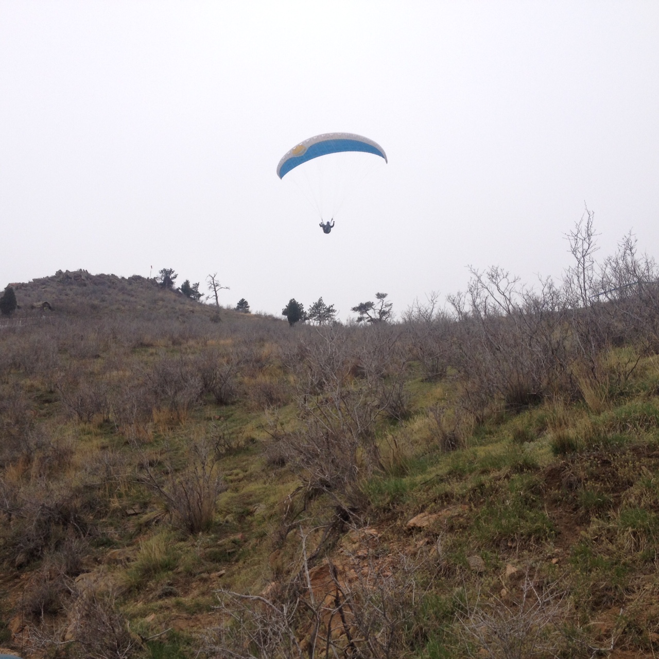
Climbed another “14er” (mountain 14,000 feet or higher in elevation) with my dog.

And I returned to some places I had previously visited and written about.

By far, the most meaningful experience of my year was tracing my ancestral journey.
Growing up on Long Island I did not think too much about my ancestry.


Like many Americans, my ancestry is mixed. The culture I primarily identify with is the culture I grew up in.
However, the culture of my ancestors was actually embedded in much of what I experienced growing up.

It’s often hard to put into words what would prompt any of us to start investigating something like our ancestry. For me, a lot of it was based around trying to understand my own thought and behavior patterns, where they came from and how I could potentially go about creating better ones to produce a better life outcome. This is a somewhat generic life pursuit, potentially applicable to nearly all people.
Major life events often prompt some form of reflection or re-examination. However, that can take on many forms. I know of some previous major events where our responses, both individual and collective, have been quite different.
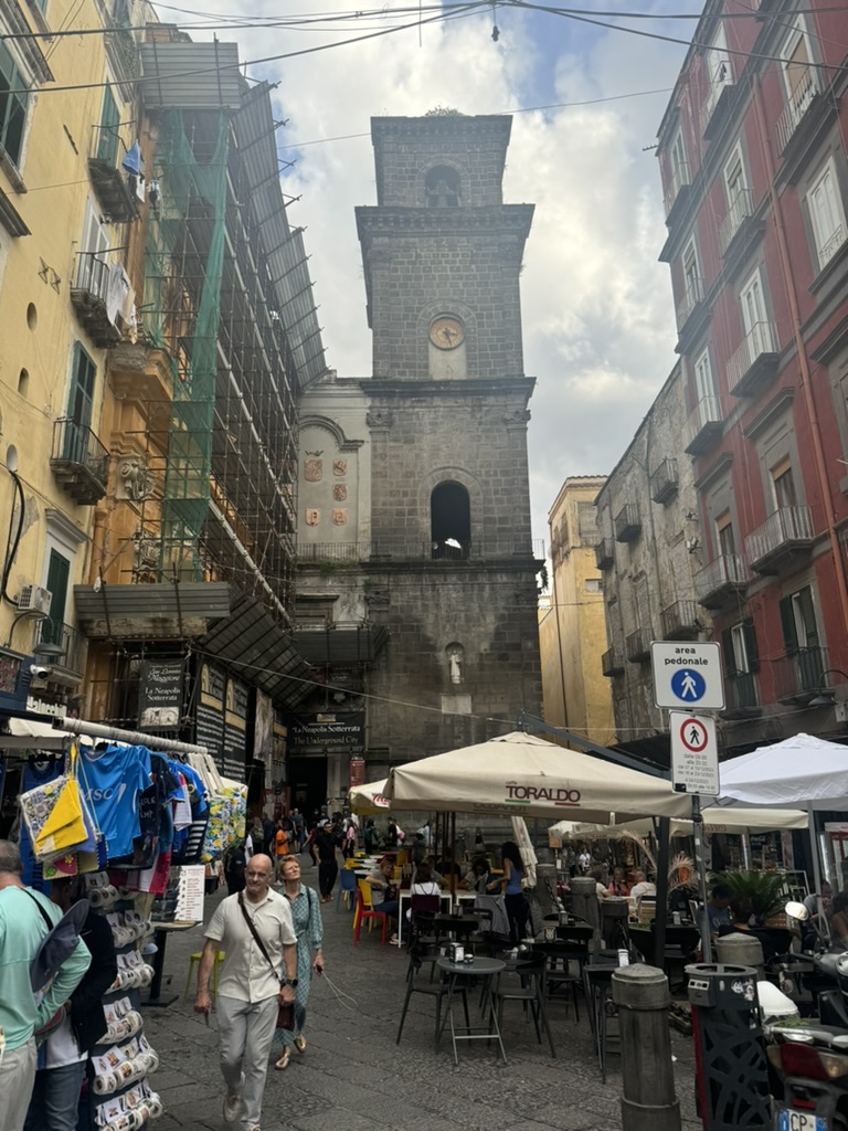
All I can say is that in 2024, the time had come to go to Naples, where the largest segment of my ancestors originated.

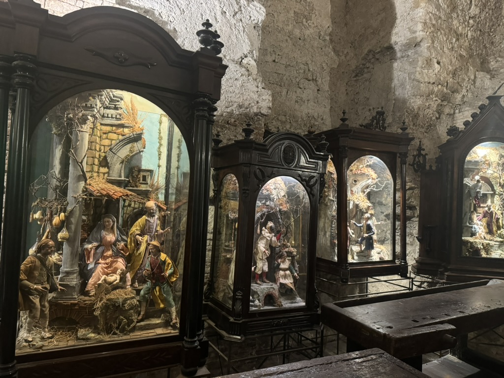
The journey involved visiting some historical sites in Naples.
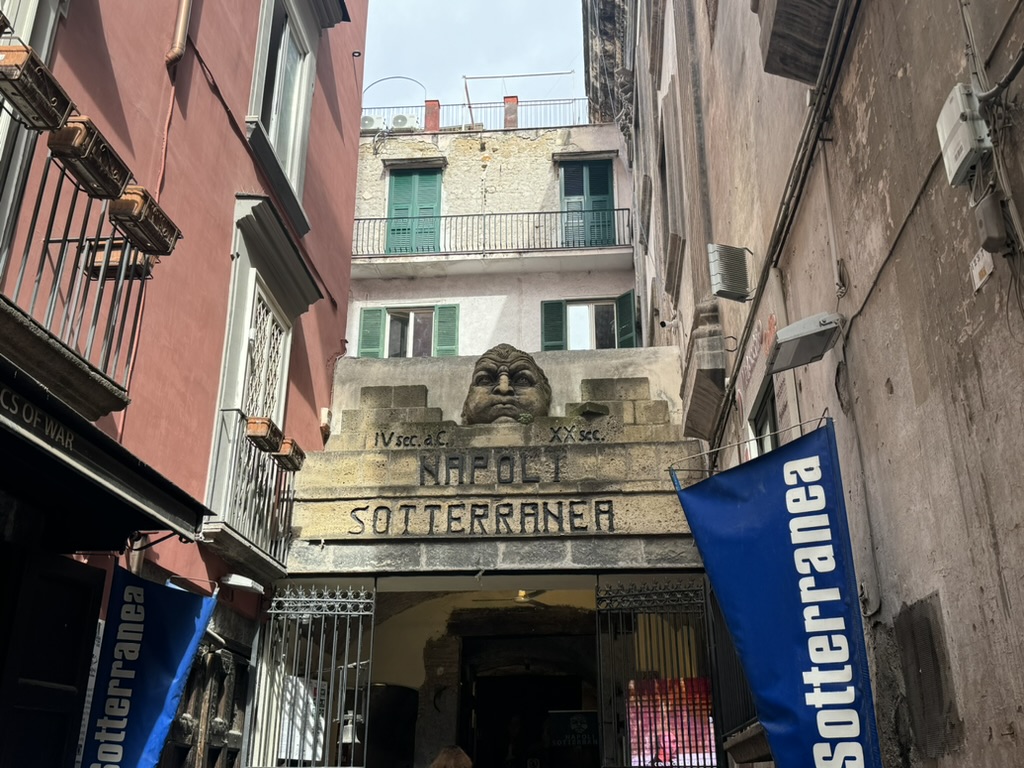
The Naples Underground is a site that spans many historic periods quite separate from one another. It was the site of a “Greek-Roman” theatre 2400 years ago, but also served as a shelter during the bombings of World War 2.


It was on this tour I learned that the city of Naples, originally a Greek city, actually continued speaking Greek until the 7th Century. This means that it is quite likely many of my ancestors were speaking Greek despite being a part of a Latin speaking empire for centuries!
The other site where I learned about Neoplotian history is the Naples Architecture Museum.

This museum has a lot of sculptures.
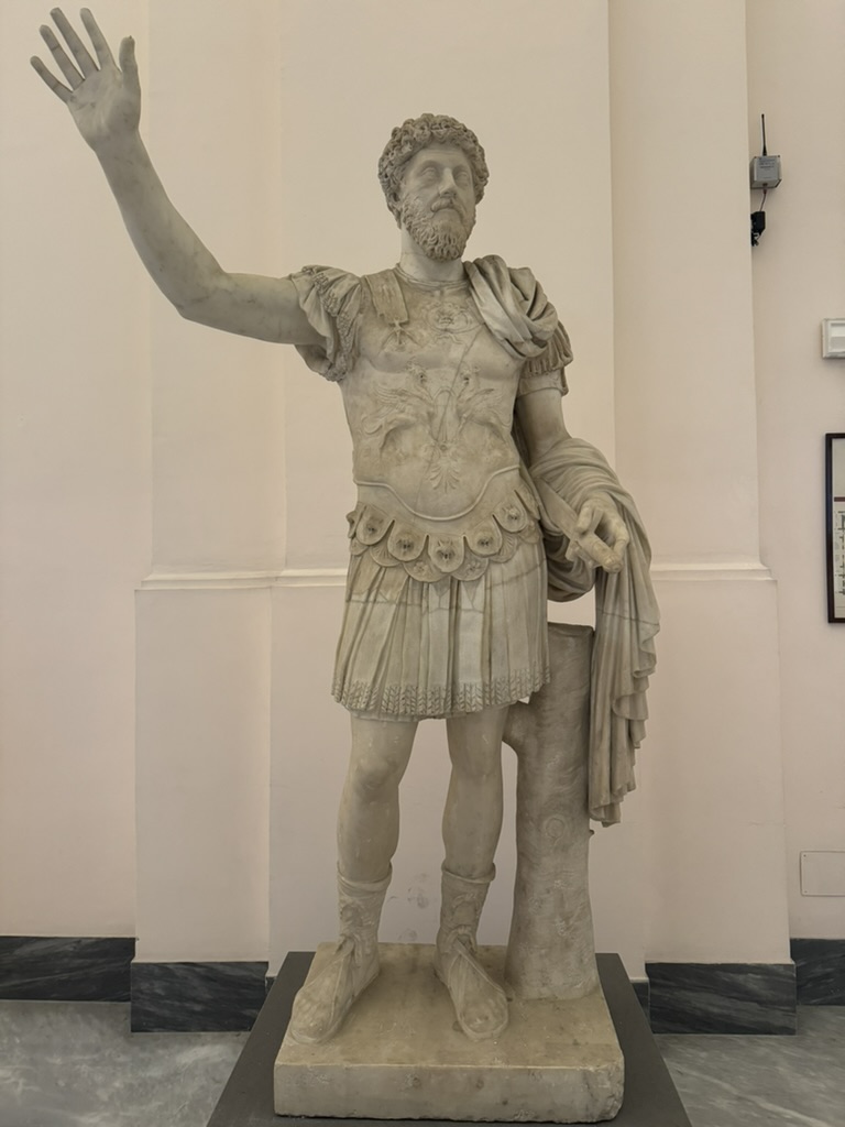


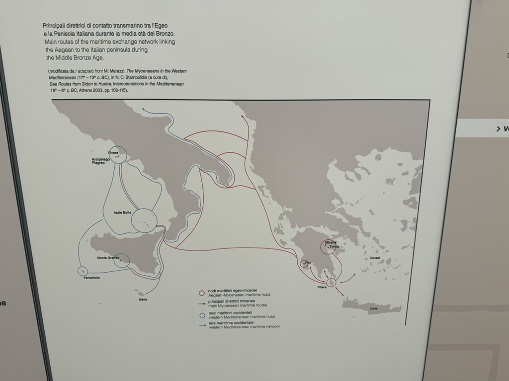
It also has exhibits that tell other stories about the history of the region, from trade routes that date back to the Copper and Bronze ages…
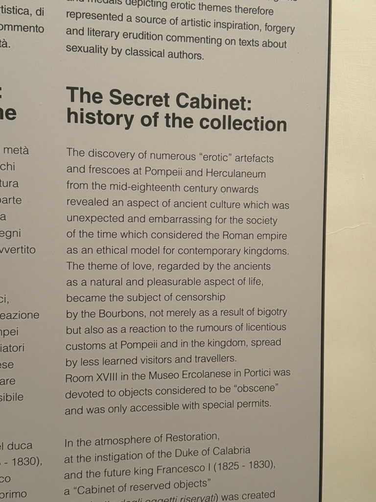
As well as moments of defiance which made me strangely proud. Apparently, during the somewhat puritanical occupation of the region by the Spanish Bourbons, some erotic statues from antiquity were displayed as an act of asserting pride in our culture.

The whole story made me feel like…
- Spain was the colonization GOAT
- Not being told what to do, or who to be is in my blood
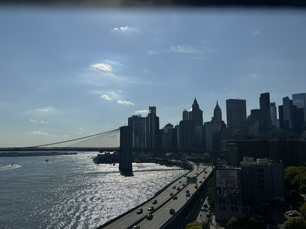
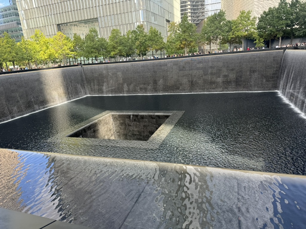
I am glad that I visited New York before going to Naples (in case that wasn’t obvious from the first part of the post) because Naples seems like a really extreme version of New York.
The buildings are really close together.
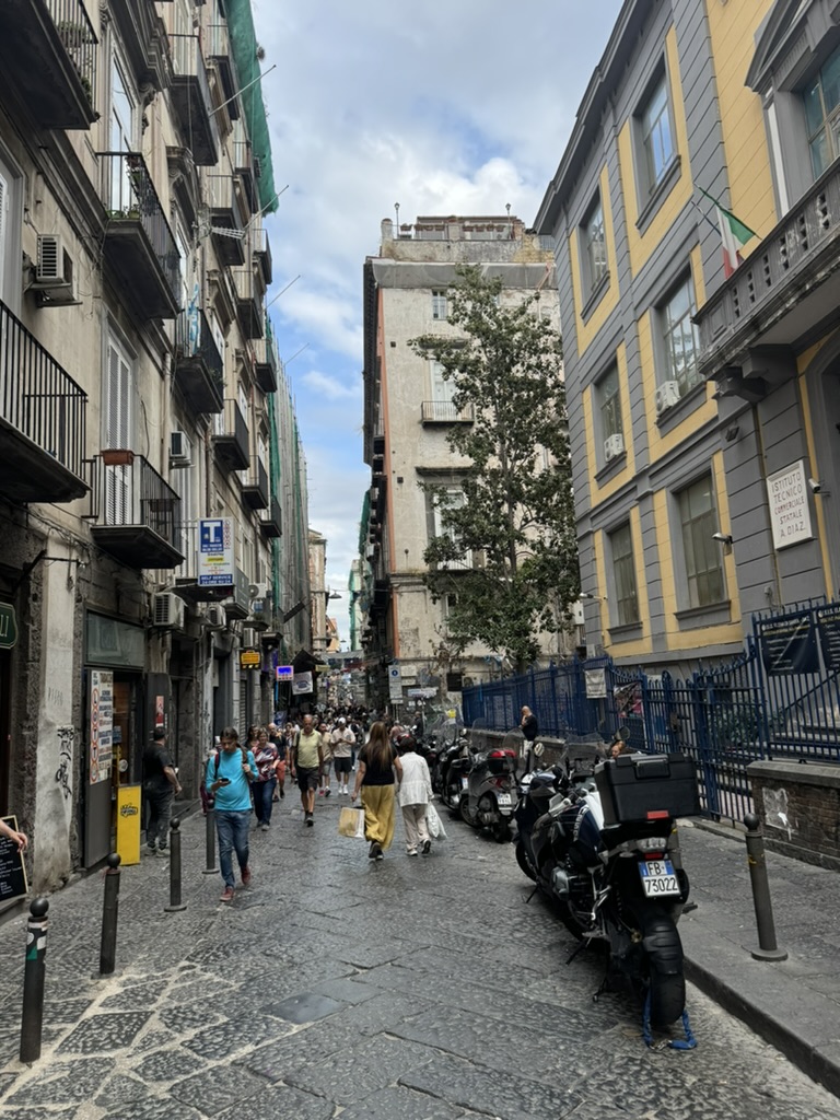
It is the most densely populated city in Europe.
Most of the time, you are walking around Naples packed between buildings of loud people and making way for motorcycles, which also roam up and down the streets honking to get pedestrians to move out of the way.
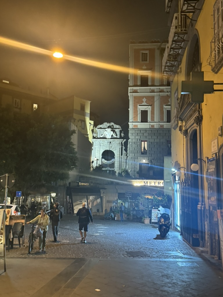

Naples has one of the most beautiful harbors to visit at night.

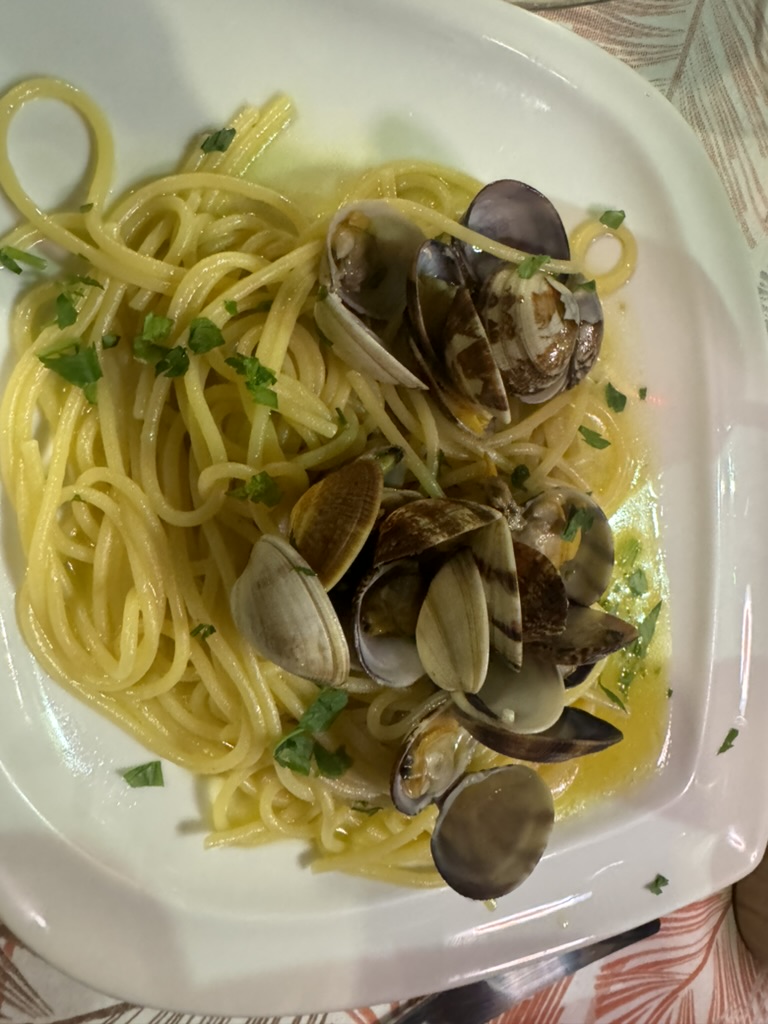
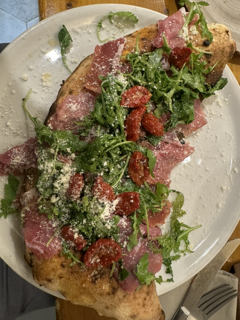
And it should go without saying to soak up the food as much as possible.


One of the things that may have prompted this ancestral discovery was learning, the prior year, where my great-grandfather was born.
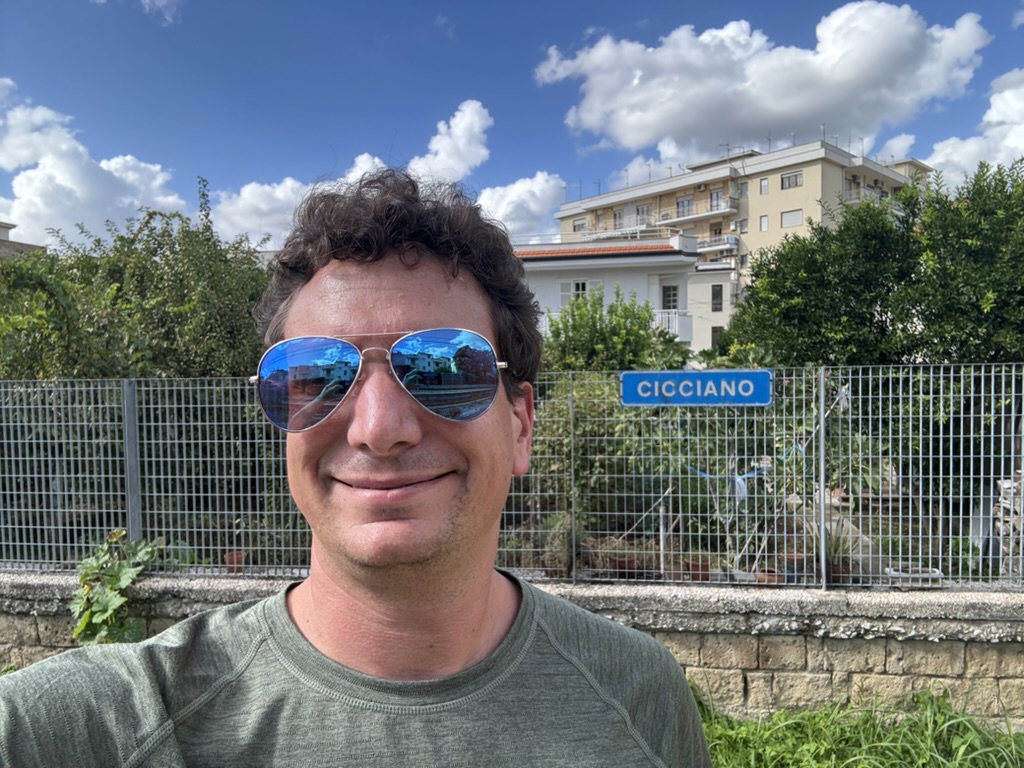
This small town is about 35 km east of Naples, towards the base of a mountain range and accessible from Naples by train.

It was surreal here, as the town itself was somewhat lively. It was the one place where I knew I had an ancestral connection, yet it was the place that was the most foreign to me. It was the only place on the entire journey where I encountered people who could neither speak English nor Spanish.
I spent some time gazing at the town square pondering the life of my great-grandfather who, as legend has it, at the age of 19, one day just decided to hop on a boat to New York with his best friend.

I thought of that decision. I thought of the decisions made by my other great-grandparents and great-great-grandparents being why America is home to me, not here. I thought of everything that happened in the history of Naples and Campania from the Copper Age trade and migration routes to the events of the 19th century that lead to Italy even being a country.
It was one of the most freeing moments I have ever experienced. I had spent years pondering my place in life, what decisions lead to me ending up where I was, sometimes even obsessing over certain decisions made by my parents and other people close to me. Understanding the magnitude of all of the decisions ever made that impacted me has given me the permission to stop thinking so much about any one decision and start truly looking towards the future.
Some people may think it wasn’t necessary to travel this far to come to this realization. There are philosophical books, self-help books, sages, guides and even rational thought processes that could have led to such a conclusion. None of that would have been the same as actually being there, feeling the air and the energy, and seeing what the place looks like.

Something tells me the feeling of liberation I walked away from Cicciano with is not something I could have attained just sitting in thought or conversation in Colorado or New York.