Category Archives: State Parks

The Time I Hiked Two Miles Past My Destination

IMG_6282.jpg

It took a mere 15 minutes to actually find Sand Creek Falls at Osage Hills State Park. I walked by these falls, which have a vertical drop of only around two feet, and thought “this cannot be the actual falls.” We would spend another two hours looking for waterfalls we had already found.

We would walk by some fishing cabins.

IMG_6273.jpg

Birds circled the warm and humid late April Oklahoma sky.

IMG_6275

And, we continued to look, at different places further up the river, for the waterfalls that we had actually already found.

It was not until we had gotten back to the car and searched for images of Sand Creek Falls that we realized what we had seen were indeed the falls that this trail was named for.

IMG_6270.jpg

We just had the wrong expectation. Sure, Osage Hills State Park is in Oklahoma, but this part of Northern Oklahoma is hillier than the stereotypical images brought up by movies like Twister.

Just last year, I had visited another waterfall on the Great Plains, Smith Falls in Northern Nebraska.

IMG_4522

I thought the waterfall would be more like this one. As a result, I wouldn’t appreciate the falls until I looked back at the photos hours later. I was too focused on expectations. Rather than taking in Sand Creek Falls for what it actually was, I spent hours looking for something else.

This is a common struggle with respect to all kinds of events. It’s the party where not as many people show up as expected and the music being played is not what you wanted. It’s the time your friend cancels on you last minute, or when you didn’t get to watch the movie you had hoped for at a family gathering.

I struggle with this a lot. I often find myself down, or even hurt, when my life doesn’t meet the expectations I set for myself and the world around me.

IMG_6305.jpg

Experiences like a string of bad luck at a casino, a friendship or relationship not turning out as one hoped, or a bad turn of events at a job are somewhat out of our immediate control. However, sometimes when something does not match an expectation, it is not necessarily for the worse. It just requires an adjustment, and sometimes can open people up to new experiences altogether.

IMG_6293

Being part of something truly awe-inspiring is not as hard as most people make it. It’s just about finding the right balance; between planing and spontaneity, and between being determined to get what we are after and being able to adjust to changes in life’s circumstances. It is also about being open enough to new opportunities as they present themselves and noticing what is around us for what it is and not what it could or should be.


The Courage to be Radical

IMG_4106.jpg

A modest sized cabin in the woods, surrounded by nature- trees, and wildlife. These cabins, often surrounded by a lake, rolling hills, or some other form of natural beauty, represent a lifestyle, a fantasy. Many people dream of this kind of life, but few act on it. Most of the time, like the Staunton Family, who owned this ranch before they willed it to the State of Colorado, these places are used as second homes, for summer and weekends.

Last weekend, the sequel to MAMMA MIA, presented the story of a person who actually acted upon a kind of fantasy life.

Mamma_Mia!_Here_We_Go_Again

Together, this movie and its predecessor present the story of a young woman who, on a whim, decides to travel to a remote island in Greece. She decides to stay there rather do what is expected of her, meaning returning to the city, to what one would assume to mean a more “normal” life. The plot of these films indicates that making a radical decision like this has the potential to be quite fantastic, fulfilling, and impactful. But, it requires both courage, as well as some form of hard work and sacrifice. The main character’s life is not presented as easy.

Nor are the lives of the people in real life who make similar radical choices. Those that actually move to a small cabin in the mountains, a tropical island or a bustling beach, as well as those who start their own businesses, pursue careers in acting, or do whatever their version of being radical is, all toil away for some period of time.

There tends to be a similar general story. First, they have to have the courage to actually pursue their preferred path. This means ignoring the fear inside, as well as advice, and even pressure from others. This advice could even come from people who are genuinely caring and well-meaning, which makes it harder to ignore.

They also had to endure, at least a period of time, where life is harder than it would have been at that standard 40-hour a week job, receiving a steady paycheck. Businesses take time to become successful, artists take time to get noticed, and many ideas are rejected dozens to hundreds of times before they are finally embraced.

This blog should have actually been titled The Courage and Determination to be Radical

Those with the courage (and determination) get to be surrounded, every day, by what inspires them.

The landscape that inspired a successful family of doctors to build a summer home 50 miles outside of Denver can now be visited by the general public, as part of Staunton State Park.

IMG_4095.jpg

Hiking around the park is relatively easy. Most of the trails are not too steep. They are, however, fairly long. They are also astonishingly well marked.

IMG_4141.jpg

Not only does every trail have a two letter identifier, but each trail has regular markers, including one marking the halfway point on each trail.

IMG_4097.jpg

Hiking from one end of the park to the other is a good amount of anticipation. From the trailhead, rock features, some of which are actually climbed on, appear in the distance, periodically peaking out from behind the trees. This can actually go on for miles, so hiking at Staunton State Park teaches hikers to learn to enjoy the journey.

IMG_4130

In addition to the Staunton Ranch, which resembles the cabin in the woods so many dream of, Elk Falls Pond is one of the top destinations at Staunton State Park. The journey there is about 4.2 miles.

IMG_4134

Monday’s hike turned out to be a chance encounter with a thunderstorm, one that required taking refuge in a relatively safe and relatively dry spot for about 25 minutes.

IMG_4136.jpg

Hiking in the rain actually turned out to be refreshing. This summer in Colorado has been HOT. Of the first 22 days of July, Denver’s official high temperature has reached or exceeded 95°F (35°C) 13 times. Much of the state has been in a drought all summer, and, with the exception of the Northeast, there are fire restrictions in place through much of the State.

DroughtMap_July2018

So, the rain turned out to be a welcome change of pace.

Hiking through the storm, in a small way, felt radical, as it is generally not advised to pursue outdoor activities on days, particularly afternoons, with thunderstorm chances. Storms find everyone in life, regardless of how courageous, resilient, and true a person is being. As the movie indicates, those that have chose to courageously live a radical life may encounter a few more storms. These storm will eventually dissipate. The clouds will gradually disperse, and the sun will emerge, revealing, once again, something beautiful and inspiring, whether that mean a spectacular landscape or a spectacular human being!

IMG_4137


An Intense Hike Outside of Boulder

IMG_3892.jpg


Colorado has some really intense hikes! Places like these, where steep terrain features rise up out of the ground like gigantic walls, are breathtaking beyond belief, but also intimidating for hikers. Most people commonly think of places like these as being tucked away in the densely packed mountains of the Central Rockies, hours away from Denver and Boulder, or even further away, in the canyons of the West. However, there is a hike, a challenging hike, with just this kind of feature just outside of Boulder.

Bear Creek is a hike that, in some way, feels similar to hiking up a 14er (A peak whose elevation is greater than 14,000 feet). Its total elevation gain is right around 2800 feet, and the hike up Bear Peak, along with its neighboring peak, South Boulder Peak, has frequently been described as a great way to train for a 14er. It can be accessed from two points, both just outside of Boulder; the Mesa Lab and Eldorado Canyon State Park. The later has a $5 parking fee, but offers a somewhat more pleasant hike.

IMG_3876.jpg

From a distance, the flatirons have some amount of intimidation factor, particularly for those who are relatively inexperienced with respect to hiking. It is, after all, a fairly abrupt transition between the flatness of the Plains to the East and the rugged terrain of the mountains that are a near constant feature for miles to the West.

From Eldorado Canyon, the hike has two parts to it. The first part is relatively easy, and actually persists for a somewhat surprisingly long distance, just over two miles.

Deer run through a gently sloped field jumping in and out of the bushes. Flowers of all colors appear alongside the trail. The mountain features gradually get closer. However, this is all just a set-up, kind of a prelude. It turns out to be a warm up that lasts nearly half the hike. After that the trail runs right into Shadow Canyon, where everything changes quite abruptly.

IMG_3888.jpg

All of a sudden, the wide open trail and wide open spaces all collapse into densely packed trees and rocks, shade, and a tight single-file tail.

It also becomes quite steep!

Over a 1.2 mile stretch, the trail gains 1600 feet in elevation, going pretty much straight up most of the way. Only towards the top are there any switchbacks. In this case, the switchbacks actually make it easier. The slope of the trail becomes far less intense, than the stair-steps that are nearly constant for about a mile. It ends up being a good reminder of why switchbacks are commonly used on roads and trails.

There are two peaks at the top, less than a mile apart, Bear Peak and South Boulder Peak. Getting to both peaks involves a sketchy, rocky scramble.

This is only the last few hundred yards. On both peaks there is reasonable cause to be nervous. The rocks can be both slippery and unstable, and the terrain is steep in all directions.

Both peaks also offer views of both the mountains to the West and Boulder and the Plains to the East.

Bear Peak is a little bit closer to town. It may be one of the best places to overlook Boulder and the surrounding area in its entirety. One thing that can almost always be observed when looking at some of these Colorado towns from above is how many trees are planted by people in cities. Just east of the Rocky Mountains, trees do not naturally grow. The distinction between what is natural and what isn’t can be seen quite clearly. It is almost more evident than any of Boulder’s actual features, such as downtown or CU campus.

IMG_3900IMG_3903

The view of the mountains from South Boulder Peak is not all that different from Bear Creek, but still feels like the better view.

IMG_3907.jpg

Looking in the other direction from South Boulder Peak, as the day wares on, a reminder appears, as to unique of a year 2018 has been.

IMG_3909.jpg

According to the Colorado Division of Fire Prevention and Control, several major fires are ravaging the state, leading to fire restrictions in all but some of the northernmost counties and even some prolonged closures on major Colorado highways.

By the start of July, the haze from these fires had become a near permanent feature of the afternoon sky. The appearance of a thick low cloud with an orange tint on an otherwise perfectly clear day serves as a reminder that no two experiences, even if in the same place at the same time of day and year, are exactly the same. The weather, just like many other aspects of our lives and culture, is always changing. There are times that are considered “normal” and other times that are considered “abnormal”. Sometimes what is considered “abnormal” beings to appear more frequently, or persists longer than expected. In these cases, it is natural to speculate, but only the future will truly settle whether what is normal is shifting, or whether the world is destined to shift back to what was previously considered normal.

A Mental Health Day

IMG_6149

I feel like I have over 100 things on my mind, all vying for space, all wearing me out.  All the changes I see around me.  The shocks, the craziness, the idiocy.  The selfishness.  My personal shortcomings, recent mistakes, how my life’s path ended up where it is and what to do about it.  How do we find a balance between order and chaos?  All the ways in which the people around me have let me down.  All the ways I let the people around me down.  How do I keep the benefits of having a smart phone (like being able to take pictures like this, after 28 miles of bicycling, which would have been tough carrying a heavier device) but avoid the pitfalls of mindless scrolling on weekdays when bored?  What is my future,  and how do I find my niche?   What is the future of our society?  The mindless violence followed by the sometimes equally idiotic responses to it.  Globalization.  Trump, Brexit, and the backlash to globalization.  But, most of all, the disappointments when experiences do not match expectations.

Simply put, I needed a mental health day.  I think we all do from time to time.  A day where we get away from jobs, computers, social media, day-to-day responsibilities, pretty much everything that causes us stress, and do something that we enjoy.  This, of course is something different for everybody, and it is not up to me to judge what any one person does for their mental health days.  Well, unless of course it is something morally reprehensible like murder or theft.

I have a firm belief in, and also a unique take on, the connection between mind, body, and spirit.  Over the course of my life, and in observing others, it is almost impossible not to observe the connection between the three.  I remember winters in Chicago, and other times when lack of exercise would in turn weigh on my mind and spirit.  Overall, improvements in one of the three realms often force improvements in the other two.  Likewise, a deterioration in one of the three realms can negatively impact the other two, like the person who develops an eating disorder after a rough breakup.

So, I decided to make my mental health day also a physical health day, with a bike ride to Roxborough State Park.  This is a ride I did two years ago.  The basic gist is that it is 28 miles each way, goes by Chattfield Reservoir, and is a significant climb over the last five or six miles.

Wednesday’s ride was even more exhausting, as temperatures soared into the 90s and a Southerly wind developed making the last several miles of climbing in harder.  Needless to say, I arrived at Roxborough exhausted.  In fact, I had to sit inside for about 15 minutes to cool off when I got there.

IMG_6140

Still, I decided to do some hiking.  Knowing that my legs were exhausted, I decided to stick to moderate trails, but ones where I can still view the essence of the park and what makes it geologically unique.

IMG_6142IMG_6143

It was after roughly 1.5 miles of hiking that the ideas suddenly started popping into my head.  Ideas about things I could be doing with my life just entered my mind.  I could do this, and present it to these people, and achieve fulfillment in this manner.  They just kept pouring in, and, for some reason, felt so simplistic to me.  Like, the only thing I need to do is just go out and do these things.

IMG_6144

These are all things that frustrate the hell out of me day and night.  Maybe it is because all of the physical exertion caused my mind to slow down enough for my brain to stop over-thinking things.  Maybe it is the freedom from all of the distractions of daily life.  It’s strange what I was contemplating.  Whenever I am in front of a computer, at an office, in a cube, or in some kind of work-like setting all of the ideas I have seem almost impossible, like a daunting challenge that would take years to attempt and would likely not result in any meaningful success.  In a way, there, I feel stuck.  Here, not so much.  Here, the same exact ideas seem quite possible.

It is here that the conspiracy theorist in me gets activated, so please bare with me, as I am the kind of person that just likes to entertain theories, even if I am not necessarily going to conclude that they are true.  I wonder if cubicles, offices, sedentary days and the like are the way “the system” maintains itself.  By “the system” I mean what I am observing around me.  A whole generation of highly educated people going to work at jobs that are well beneath the skill level they develop through college, and increasingly, post-granulate, education.  A whole generation of people submitting to rules, such as a strict 9-5 schedules and dress codes, that are no longer relevant for the kind of work that now predominates in a service sector economy.  Is the reason people continue down this path the manner in which a whole day of sitting at a computer connected to the internet and all of its distractions make them feel?

IMG_6147

People visit Roxborough State Park, and the geologically similar and more well-known Garden of the Gods, because they are unique.  If this place looked like every other place on Earth, people would not make a specific point of coming here.  So, maybe the key to being the kind of person people seek after, is to be unique.  After all, the person you meet at the party that is exactly like everyone else, is the person you don’t remember.  Sorry to be harsh.  But, it’s when someone does something unique, or interesting, that you remember that person.  Strangely, though, the world of school, and subsequently work, encourages conformity.  It encourages people to follow the worn out path and do things the way they are always done.  Maybe overcoming that conditioning and doing things our own way is the key to life, both in terms of success and happiness.

Summer Persists

IMG_4449

I have been fascinated by the weather my entire life.  When it comes to our atmosphere, there is always something interesting going on.  The weather seems to find a way to continue to surprise people, behaving in different interesting ways each season, each year, each decade.  Our lives are impacted by the weather every day.  It is something that is impossible to ignore.  It is always on our minds, particularly for those that of us that love travel and outdoor activities.

At times, our plans can be frustrated, or even cancelled by changes in weather conditions.  It is the early season baseball game that was cancelled due to a freak April snowstorm.  Or the ski resorts in Lake Tahoe that had to close due to the lack of snow.

At other times, unexpected opportunities can arise.  I remember one year, when I was in college in Northwest Indiana, a place that is typically quite chilly in the wintertime, we had a series of unexpected 60 degree days in late January.  I unexpectedly found myself in Lake Michigan (albeit only knee-deep) on the 27th of January, a time of year I could normally expect to be huddled indoors.

Across much of the country, the story this September was the persistence of summer.  Some places are experiencing one of to their warmest Septembers on record.  Here in Denver, it has been the same story.  September’s temperatures this year, largely resembled what is typical in August.

Denver_Aug_Sept_2015

A sensible response to hot weather in Denver is to travel up to the mountains, where it will be cooler and more comfortable.  So, in addition to my hike near Breckenridge on the 11th, I made trips up to the mountains both of the following weekends.

September 19th was a repeat hike, to Windy Point at Golden Gate Canyon State Park, which is actually less than an hour’s drive from Denver.  The first time I hike this particular trail, in October of 2013, the upper portions of the trail were already covered with snow.

IMG_1163

This time, I got to experience the trail without such snowpack.

IMG_4435 IMG_4430 IMG_4429 IMG_4414

My other late season hike in the mountains involved a trip to a place I had never been before, but had been meaning to check out for quite some time, the Fourth of July trail outside of Nederland.

IMG_4467 IMG_4465 IMG_4474 IMG_4478

This hike in particular, on September 26th, represents the kind of opportunity that would not have been available had it not been for the unusual resistance of summer.  This trailhead is at an elevation of just over 10,000 feet.  By late September, one would expect high temperatures only in the mid 50s at this elevation, and not the warm conditions we experienced that day.

IMG_4477

One thing I have come to notice during periods of abnormal weather is how the trees never seem to be fazed by the abnormal conditions.  In the Midwest, when we would have a mid-winter thaw, like the one I had perviously mentioned, none of the trees would start growing leaves or anything.  They would continue to stay the course, knowing what to expect from the rest of the season.  Here in Colorado, the trees are still changing colors largely on schedule, with the later part of September being peak season for fall colors at these elevations.

IMG_4483

I have actually come to realize that the most magnificent fall colors occur when there is a warm and dry fall.  As it was last year, without windy, rainy, or even snowy weather early in the year, the leaves stay on the trees longer.

IMG_2733

In a month where we sweated through 90 degree weather for Tour de Fat,

IMG_4372 IMG_4391

And one could attend a concert at Red Rocks without needing a jacket,

IMG_4442 IMG_4448

It is hard not to feel as if summer just has’t ended yet.  We simply got to experience summer longer than anticipated.

Whether it be a season of the year, like winter or summer, or a chapter of our lives, we all anticipate change.  We know that a change is destined to occur, and often have an idea in our heads as to when that change is destined to occur.  However, sometimes, changes do not happen at the time they are anticipated.  Sometimes in life, we are caught off guard by an unexpected change before we had fully prepared.  We all have heard of at least one person who had endured an unexpected layoff, or an unplanned medical emergency.  Other times, as is the case with the switch from summer to autumn across much of the United State this year, it takes longer than anticipated for the next chapter of our lives to begin.

As someone who loves hiking, cycling, and water sports, and is generally not too negatively impacted by hot weather, it is easy for me to welcome the unexpected extra month of summer.  It is easy for me to say, in this case, that the best way to handle this delay, in the transition from summer to autumn, is to go out and enjoy it, take advantage of the opportunities, and be patient for the next season to start.  But, I know that this is not the case for everybody.  I also remember being the one frustrated by the lack of change.  I remember one March in particular, when I was living in Madison, Wisconsin, that winter just seemed to never end- and I was beyond sick of it!

Fall is going to come.  According to the weather report, by this coming weekend, October 2nd and 3rd, most of the country will be experiencing weather more typical of fall.  Those that have grown tired of the heat, although they had to wait longer than expected for the cooler air to come, knew all along that it would, and that the changing of the season is inevitable.

IMG_4490

At some point in time, we all end up in a place where we feel our lives have stagnated.  We enter a place where our current situation, whether it be our job, or what we are doing on a day-to-day basis, has simply run it’s course.  We have gotten what we need to have gotten out of the experience.  Maybe it has become frustrating, or maybe it is just simply not inspiring to us at all.  In these situations, the cycle of winter-spring-summer-fall we all live through on an annual basis serves as a reminder that the change we desire is inevitable.  Sometimes it just takes longer than we had hoped.

A 50 Mile Bike Ride in the Dead of Winter

I am not sure where the phrase “The Dead of Winter” came from.  In fact, I am not even 100% sure people still use that phrase (in 2015).  But, I do recall hearing that phrase growing up in both New York and Illinois, referring to the period of time from roughly New Years through President’s Day.

My best guess is that the phrase comes from scenes like this one appearing in many major Northern Hemisphere cities.  Trees having long since lost all of their leaves, the grass taking on a lifeless brown-ish color, and overcast skies combine to create a cold, lifeless image that can persist for long periods of time.

IMG_2940

No month epitomizes the depths of winter more than the month of January.  By January, most northern cities have already experienced a significant amount of winter.  Residents of these cities have typically been through a dozen or so days they would consider “very cold” (which does vary by city).  Also, by January, most cities have experienced their version of lousy winter whether, whether that be lack of sunshine, heavy snow, ice storms, that cold drenching rain, or some kind of combination of the four.  With the holidays over, if winter is going to wear you down, it will most definitely do so in the month of January, as it runs its course.

For many, winter (and particularly January) is something of a metaphor for a rough period of time, or a low point.  In American history, the winter at Valley Forge is remembered as a low point for the American Revolution.  Winter is also used periodically to describe low points in people’s individual lives.  With the chill, darkness, and frequent inclement weather, there is not only commonly more hardships, but also more limitations.

This is true even when mother nature offers periodic breaks from cold and gloomy weather.  After a cold start to 2015, the middle part of January brought warmer conditions to Colorado, including several consecutive days with highs in the 50s or 60s here in Denver.  And, while today ended up being one of the best possible January days for a bike ride, the amount of riding I could do was still limited significantly by the sheer fact that it is January.

Even on a mild day, it is typically too cold to start riding at sunrise, the coldest part of the day.  As the day began with temperatures in the 30s, I waited until roughly 9:30 to begin my ride.  Even with this later departure, I still encountered significant amounts of water, and even ice on the trails.  In several sections, I needed to stop and dismount my bike for safety reasons.

IMG_3018

The mere possibility that ice like this will be present on the trail also makes it extremely unsafe to ride after dark.  With sunset occurring right around 5 P.M. at this time of year, the window of time for a bike ride is significantly shorter than it is in other season.

IMG_3025

Another major limitation to what places I can bike to in January is the wind.  In winter, wind can be quite unpredictable, and can lead to unexpected slow-downs.  Also, higher terrain can get quite windy, even on days where there is little to no wind in town and in the river valleys.

Therefore, I decided to ride up Cherry Creek trail, and make the 50-mile round trip ride from Denver to Parker, an exurb 25 miles to the Southeast.

IMG_3019 IMG_3020

Despite the slow-downs associated with random standing water and ice on the trail, I was still able to reach Cherry Creek Dam in roughly 45 minutes.  Here, the only “climbing” portion of the ride appears in the distance.  For those with little to no “climbing” experience, the uphill sections can actually be a bit exhausting.  However, for anyone that has previously ridden up a mountain, or a large hill, the climb up the hill is quite tame.  With the mountains still appearing in the distance, there is a clear reminder that even after a mild stretch of weather, climbing too high in elevation would also lead to slippery conditions.  In essence, this “climb”, although quite tame, is the most significant climb one can make safely in the month of January.

IMG_3023 IMG_3024

Behind the dam, the trail winds around Cherry Creek Reservior.  Only half covered with ice (and probably thin ice), I am relieved to see nobody trying to ice fish, or stand out on the lake at this time.

IMG_3028 IMG_3029

With some amount of wind, and having not ridden a significant amount of miles in one sitting in quite some time, I ended up taking it a bit slower on the trail today than I normally would have in mid-summer.  As a result, it ended up taking me nearly another hour to reach Parker, where the 470 trail, another major trail in the metro Denver trail system, terminates at the 40-mile long Cherry Creek Trail.

And, while it took me a bit longer than normal to ride 25 miles, not exhausting myself to achieve a better time had it’s reward.  Neither overly exerting myself, nor traveling too slowly, the return trip flew by!  Mile after mile passed, almost as if I was living out a montage of my own life.  I passed mile 25, 24, 23, winding around, smiling at nearly every person I passed by as the wind, and my direction shifted back and forth.

IMG_3030 IMG_3022

Before I knew it, it was mile 15, 14, 13.  On a typical ride, exhausted at the end of the day, I am anticipating each mile, and tracking how far I am from home.  Today, I achieved somewhat of a state of euphoria.  I almost feel as if I had achieved the “runners high” often discussed (albeit on a bicycle, as opposed to running).

In the end, despite my slower than usual pace, I thoroughly enjoyed the ride, and was actually only passed on the trail once!

For those wanting to take advantage of a mid-winter warm-up, and get on the trail (or roads), I offer the following tips

  • Plan extra time (maybe half an hour) for your ride.  There is a distinct possibility that mud, ice, or snow on the trail can slow you down, as well as unexpected winds.  It is not safe to ride at night, and it will get cold again.  You are better off taking on a goal that would be considered modest during the warm season than ending up in trouble.
  • Listen to your legs.  I know “shut up legs” is a popular poster to hold up at long distance rides, but often times a ride can be done more effectively if you allow yourself to downshift when the ride feels exhausting.  This may mean being on a specific segment of trail, or road, in a lower gear than what you would typically be in.  But, maybe that combination of the 5 pounds you gained over the holidays, and that 8 mph cross-wind is enough to warrant being one gear lower.  It is best not trying to exhaust yourself early just to be in your usual gear regime.  That being said, there also may be opportunities to shift up and go faster where there is an unexpected tail wind.
  • Don’t shy away from undertaking a major bike ride immediately after a hard day of skiing.  Cycling uses mostly different muscles than skiing, and I have been surprised by how little recent hard core skiing has impacted my cycling performance on rides like the one today.

A Bike Ride to Roxborough State Park

IMG_1933

The primary reason I love cycling as much as I do is that I am able to go places a significant distance away completely under my own power.  For many years I have enjoyed commuting to work (now only 1.5 miles but formerly 6 miles), running errands, visiting specific places, and getting myself to and from specific events by bicycle.  I feel the benefits are two-fold.  There is the obvious money savings on fuel (and/or parking/ transit).  In addition to the monetary savings, I find the exercise and time outdoors to have a been a great value to my health, both mentally and physically, over the years.

Roxborough State Park is about 30 miles South of central Denver.  It is a place I had never really thought about visiting up until a few weeks ago when I was looking for new interesting places to ride my bike to, and wanted a ride that would be roughly two hours each way.  In Denver, it is possible to cover a good amount of distance quite quickly using the metro area’s bike trails, which bypass traffic signals, as well as most terrain features that would normally slow a cyclist down.

IMG_0337IMG_1913

The Platte River trail can be followed from Denver southward to it’s terminus at the C-470 trail, about 16 miles south of downtown.  The Platte River trail is quite flat, as it tracks right along the river.  However, the C-470 trail, which roughly follows the highway (which is the Metro area’s outer loop), contains a lot more rolling hills.  After several miles on the C-470 trail, I arrived at Chattfield State Park, a reservoir, and popular boating destination on the southern fringe of the metro area.

IMG_1916 IMG_1917

A couple of years ago, this was the destination of a couple of rides I had done.  Last year, I did a ride to Waterton Canyon, the starting point of the Colorado Trail, a place I also rode by on my way to Roxborough State Park.  It is somewhat encouraging to actually see my continued progress as a cyclist right in front of me.  However, it also made me realize that there is one disturbing parallel between cycling (or any activity of this nature) and drug addiction; as the more I ride my bicycle, the farther and more intense of a ride I need to do to feel “satisfied”.  This is beginning to feel eerily similar to the gradual increase in tolerance a regular drinker experiences, or the ever increasing doses many drug addicts demand over time.

IMG_1921 IMG_1922

There was a fairly long line of cars at the entrance to this park.  Luckily, I was able to bypass this line, saving me both roughly 20 minutes of time, as well as the $7 entrance fee to the park.

The road from the entrance to the visitor center, basically the last two miles of the ride, was not all that fun.  It was gravel and bumpy for much of the way.  I felt uncomfortable going over 13 miles per hour.  However, the park rangers were quite pleased that I did not try to use my bicycle on any of the trails, as they do not permit bicycles on the trails.

IMG_1927 IMG_1928

At the visitor center, I realized that one of the main attractions of this particular park is the wildlife.  Showing people the fur and bones of dead animals seems like a somewhat sick way of presenting what the park had to offer to it’s visitors, but it was really neat to actually feel the fur of a black bear for the first time in my life!

IMG_1929 IMG_1934

The rock formations at Roxborough State Park were actually quite similar to what I saw at Garden of the Gods.  In fact, it is easy to see how the same geological processes created the rock formations that run up and down the edge of the front range, including the Garden of the Gods, the place, as well as places like Red Rocks.

IMG_1931 IMG_1936

The park is also set up quite similar to Garden of the Gods.  Both places make it easy for the average non-outdoorsy tourist to attain a good view of the park.  Here, the Fountain Valley Overlook, a mere half mile from the parking lot with only a slight grade, provides views like the one at the top of this entry to those with no interest whatsoever of getting any exercise.  The park also offers somewhat more strenuous hiking.  Carpenter Peak is roughly 1000 feet higher in elevation than the visitor center.

IMG_1930

I meandered around the park a bit, but decided not to do the more strenuous hike as to preserve my energy for bicycling.  The only wildlife I encountered were these three deer, which is not particularly out of the ordinary.  However, I did encounter them at a much closer distance than I typically do.

IMG_1940

For much of my time at Roxborough State Park, I was intrigued by these relatively short trees I encountered all over the park.  These tress are quite different than the ones I typically see around Colorado.  I later read, on the way out of the park, that there are some unique species of trees, as well as insects and animals, that live here due to the micro-climates created by the wind patterns that these rock formations create.  In fact, Roxborough State Park is considered a destination not only for it’s rock formations, but also for it’s unique wildlife.

IMG_1935IMG_1938

While marveling at the beauty of the park, and considering how awesome it might be to live in one of those houses that overlooks the place, the weather caught me off guard.  Prior to this ride, I looked at the forecast for Denver, which called for a threat of rain after 3 P.M.  However, 30 miles farther south (and closer to the Palmer Divide), and roughly 1,000 feet higher in elevation, any threat of thunderstorms is naturally going to come earlier in the day.  Right around noon, I noticed a few raindrops, and suddenly noticed the clouds beginning to build overhead.

My bike ride home ended up being a race against mother nature, which I barely won, partially by blatantly ignoring the 15 mile per hour speed limits posted along the trail through South Suburban Littleton.  With a little bit of help from the wind at times, I was able to make the 28 mile ride from Roxborough State Park in 100 minutes, returning home by 1:45 P.M.  As someone who typically pays close attention to the weather, and understands weather patterns quite well, this was a somewhat embarrassing oversight on my part.  However, I do feel a sense of accomplishment in making the return ride so quickly.  And, once again, I was reminded of what I love most about cycling; being able to travel a good amount of distance, and even see my own progress on a map, all under my own power.

Pennsylvania’s Lincolnway

IMG_1365 IMG_1377IMG_1371

Nearly a decade before the much celebrated route 66 was commissioned, the first cross country automobile route, “The Lincolnway”, was developed.  This cross country route from New York to San Francisco, first labelled in 1913, roughly follows what would later become U.S. highway 30 through much of the country.  Although less songs and movies have been written about “The Lincolnway”, it is just as historic.

IMG_1368 IMG_1369

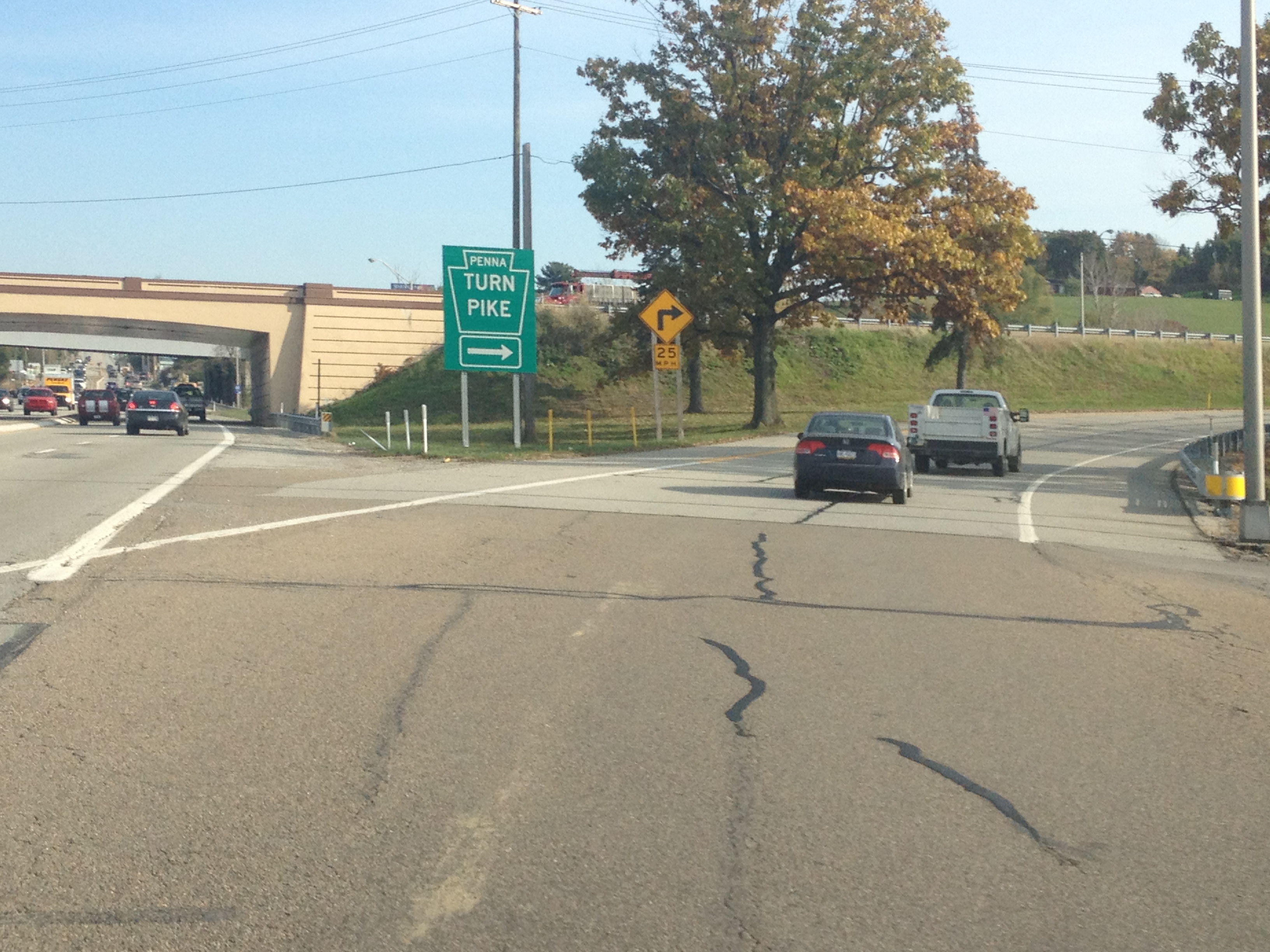
Accessing the Lincolnway in Pennsylvania is quite easy.  In fact, from the Southeast, it can be accessed without even exiting the highway.  In a town called Breezewood, PA, all Interstate 70 traffic comes to a grinding halt.  In order to continue on I-70 westbound, one must make a right hand turn, followed by a left hand turn, and enter the Pennsylvania Turnpike, where I-70 shares with I-76 for about 86 miles.  This is the only place I know where interstate highway traffic must actually come to a stop at a traffic light.  In many other places, following an interstate highway requires exiting and merging onto different roads, but I don’t know anywhere else where traffic lights are actually part of the main interstate highway route.  As a result of every I-70 traveler having to stop here, Breezewood is mainly just a bunch of gas stations (truck stops) and hotels.

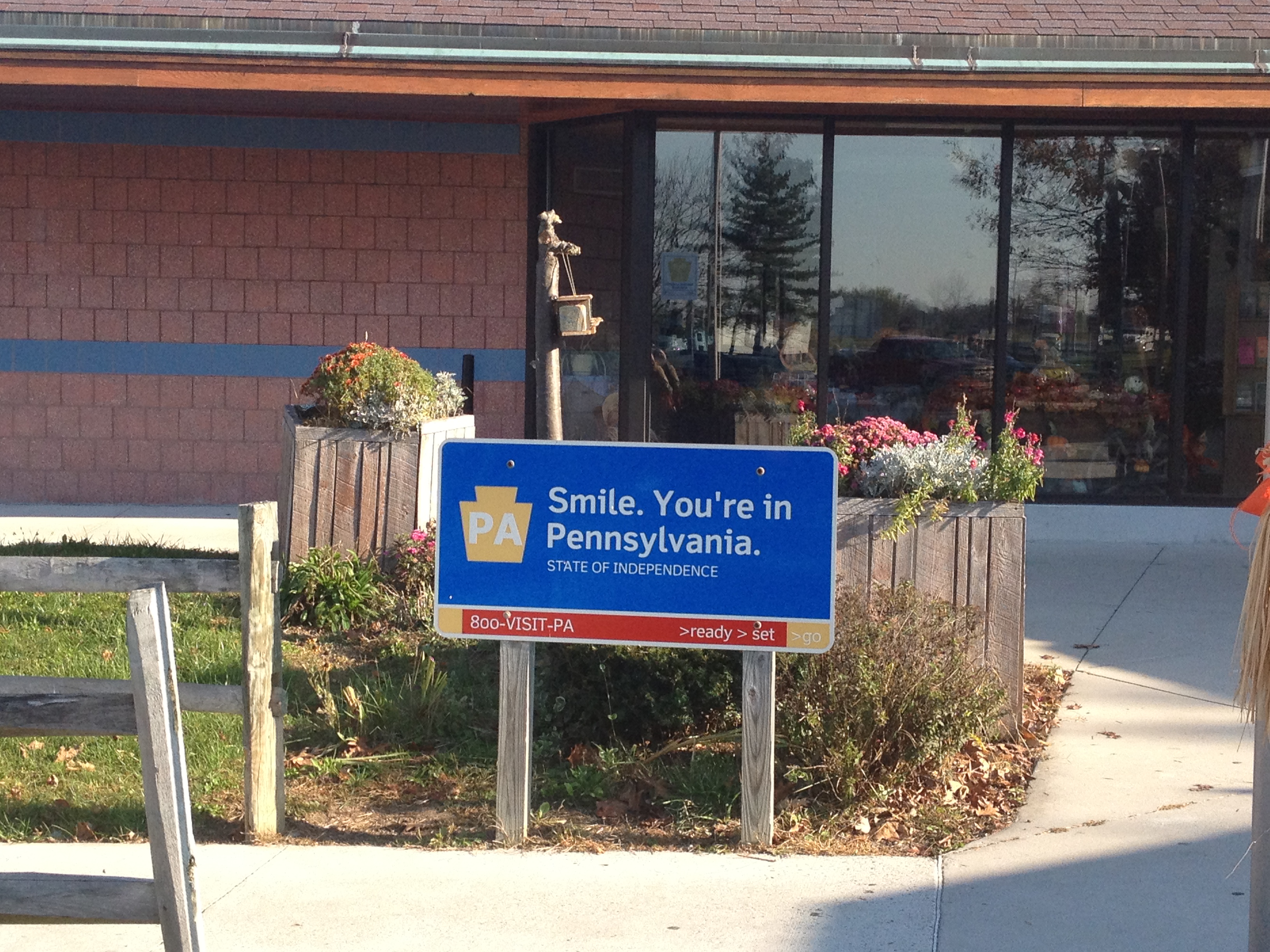
The road that motorists encounter when I-70 comes to a halt is actually the Lincolnway, U.S. highway 30.  Since I have some extra time on my journey, and some level of disdain for the Pennsylvania Turnpike, I decide to follow the Lincolnway through much of Pennsylvania and check out some of the sights along the way.

IMG_1372 IMG_1373

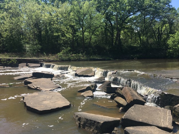
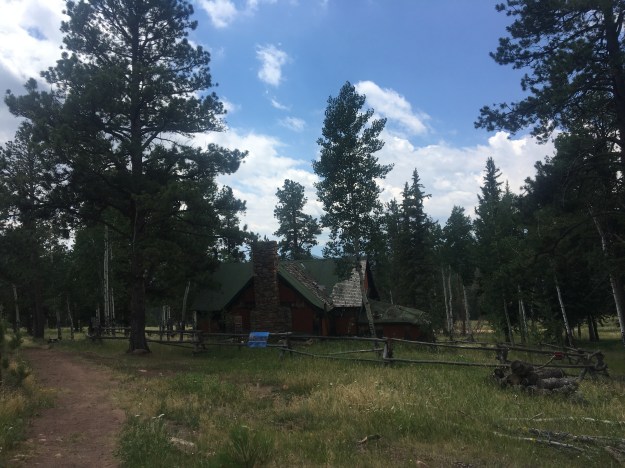
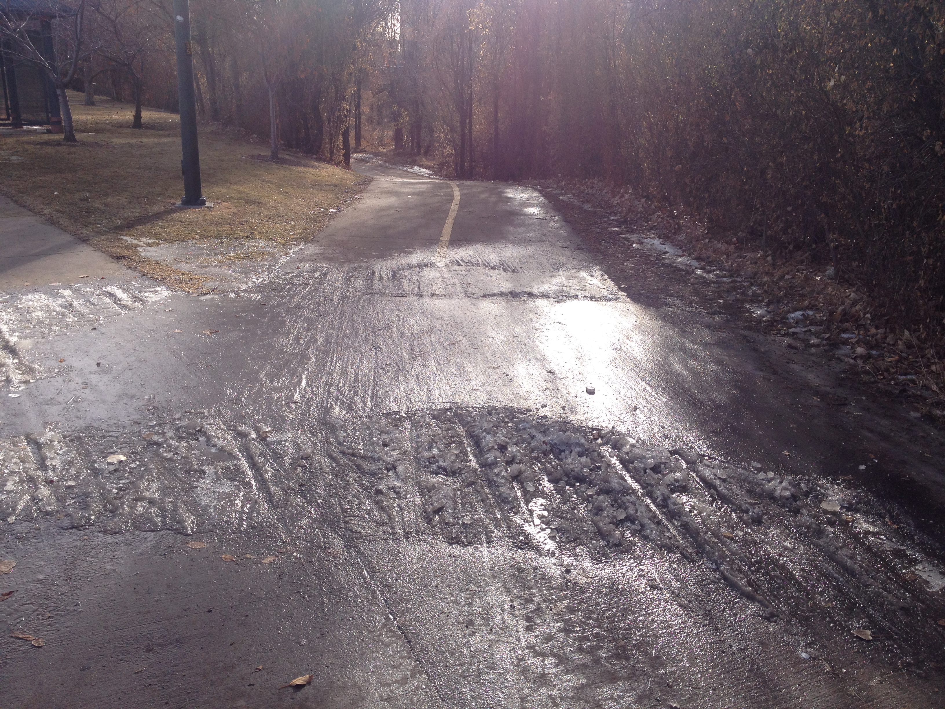
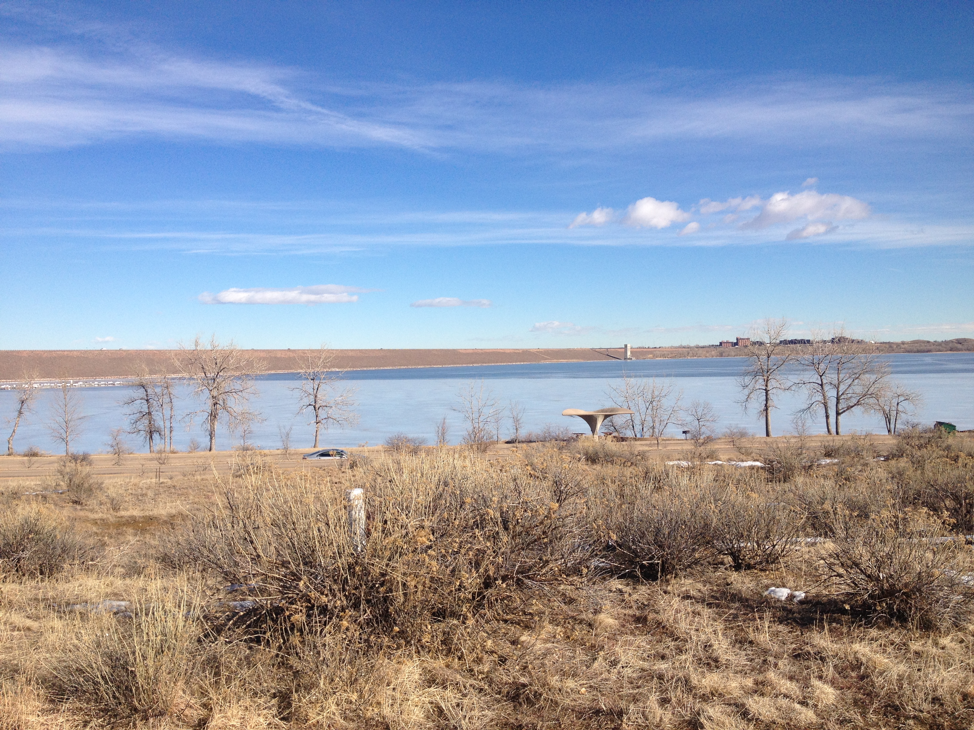
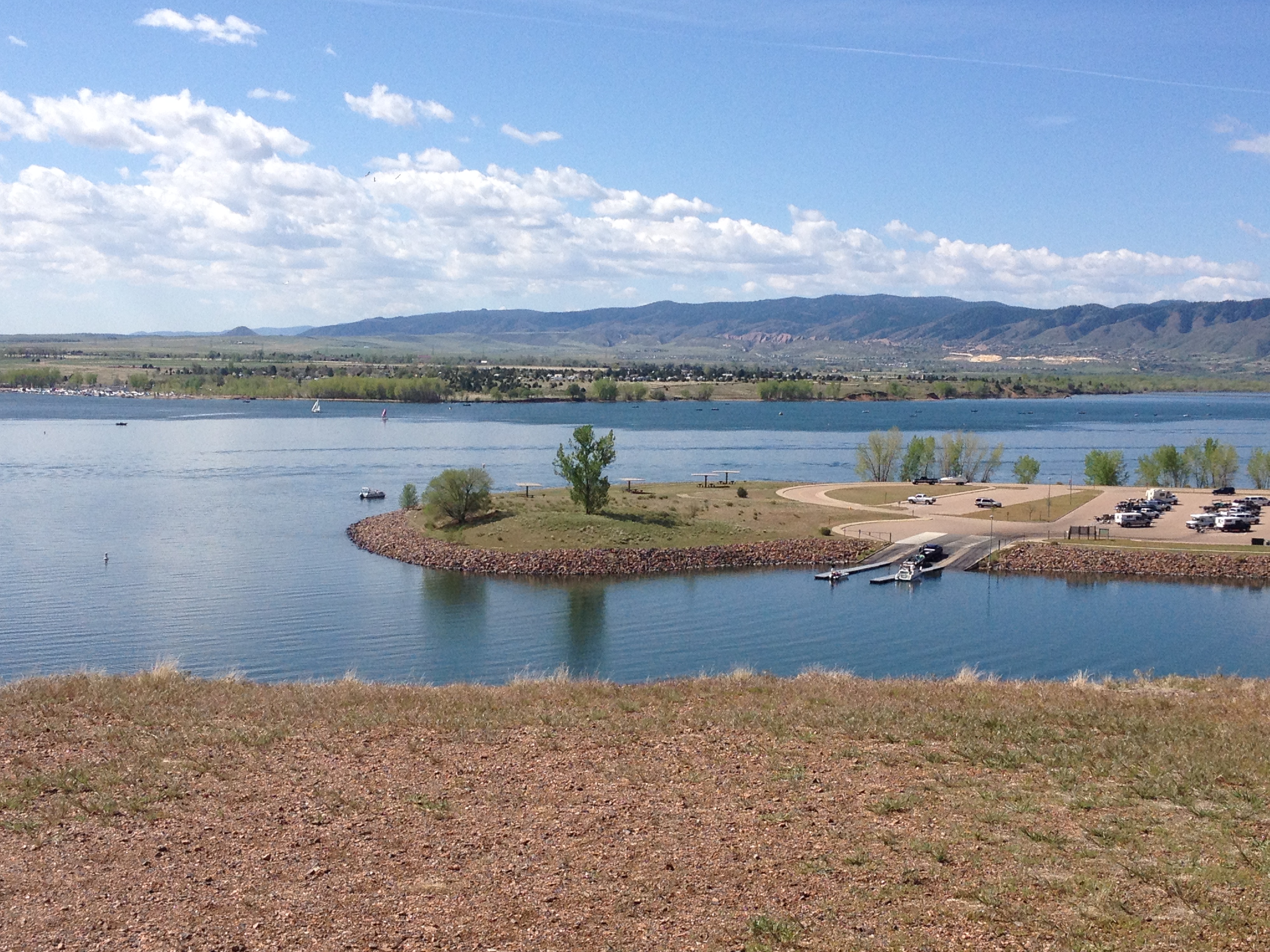
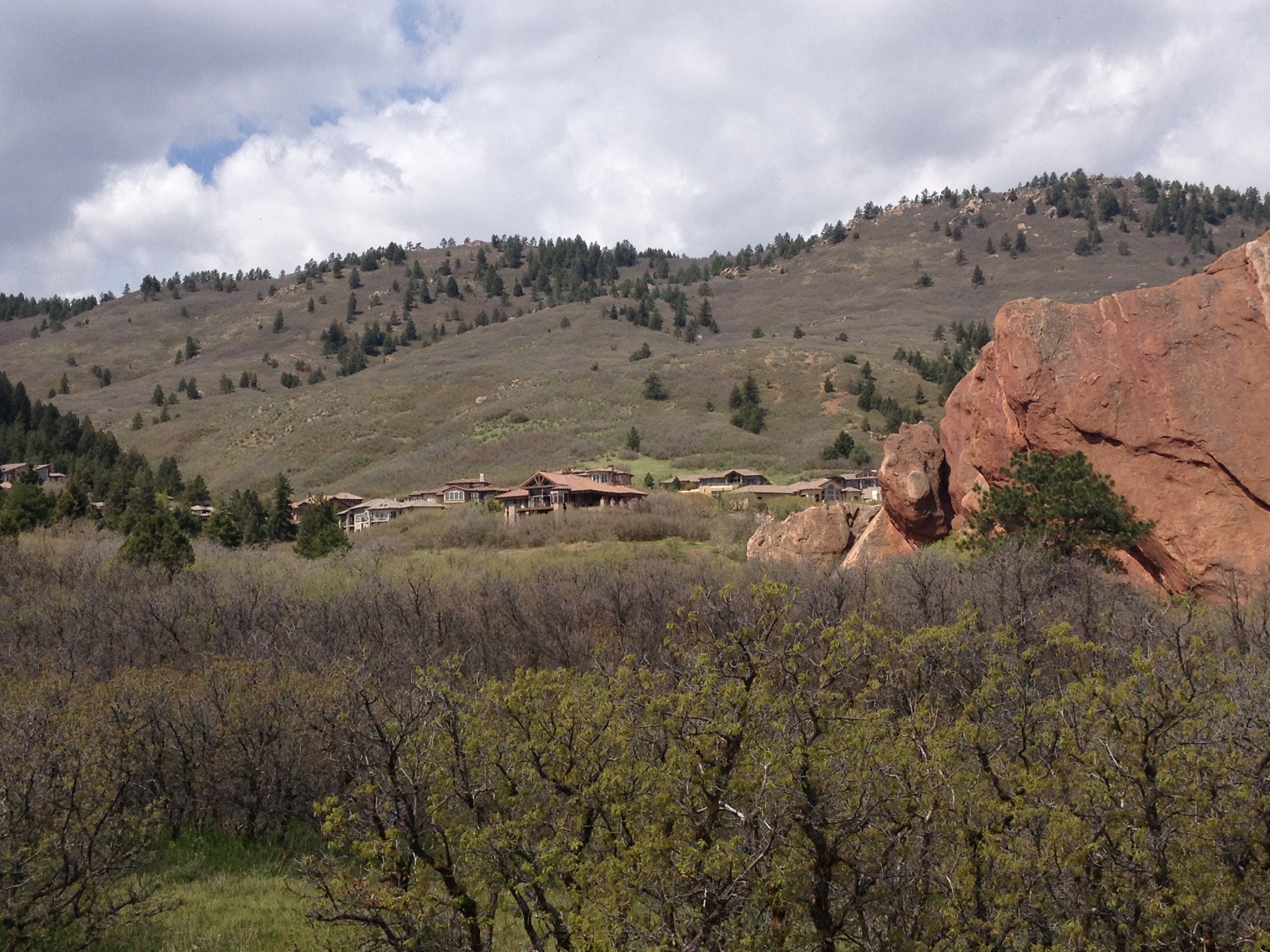
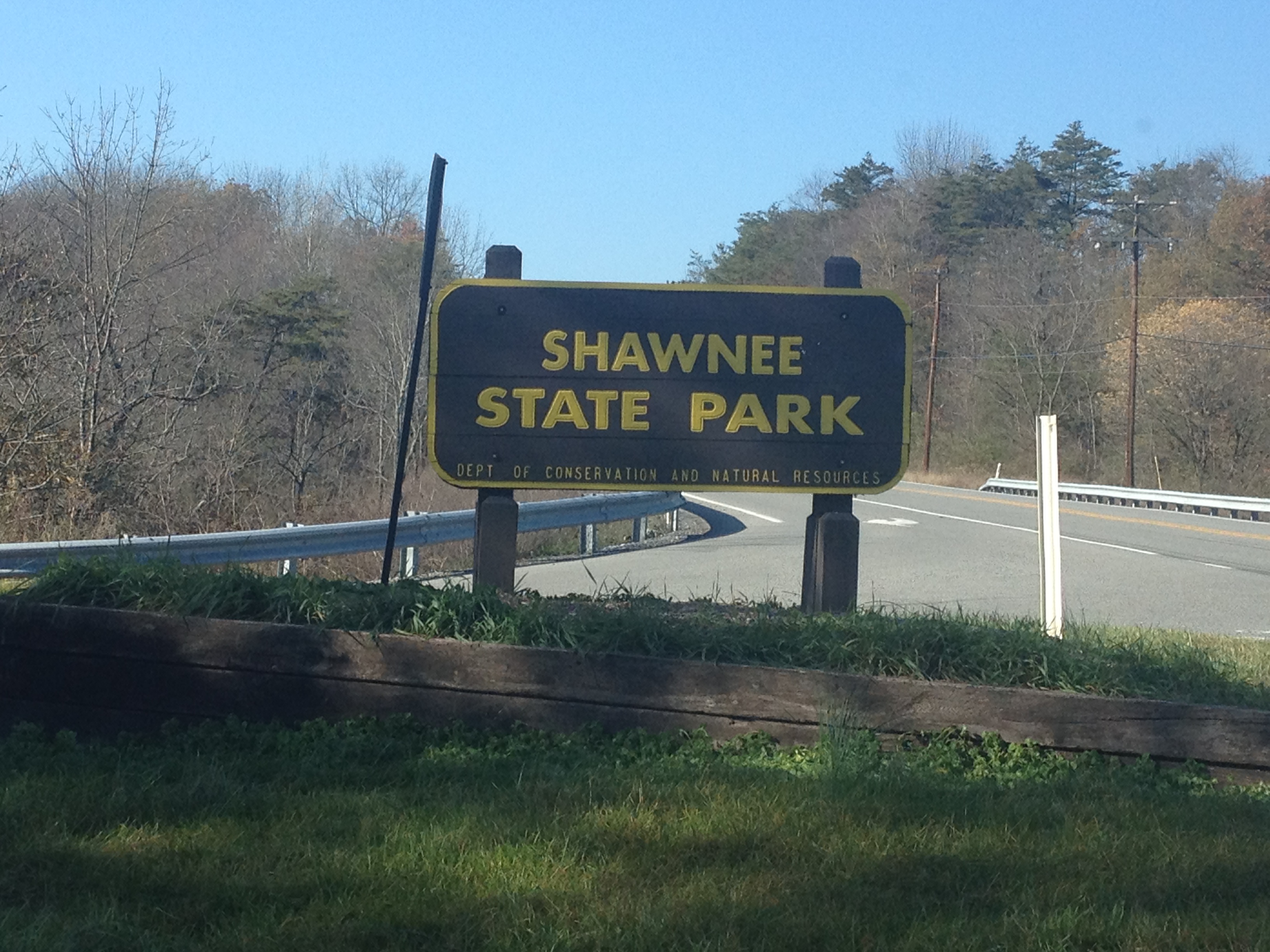
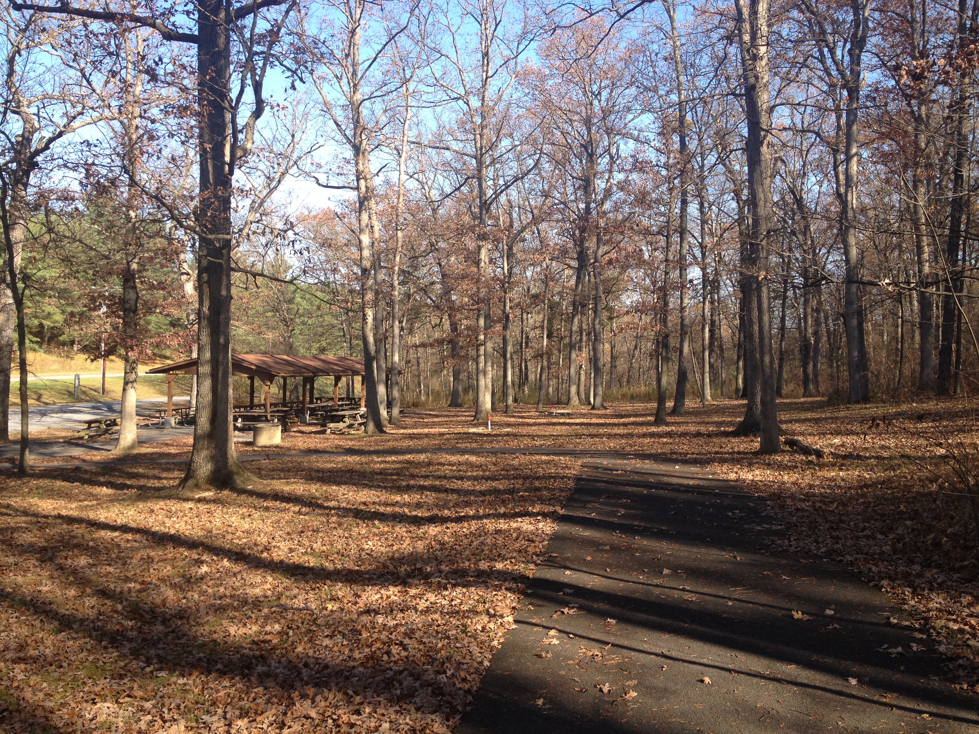
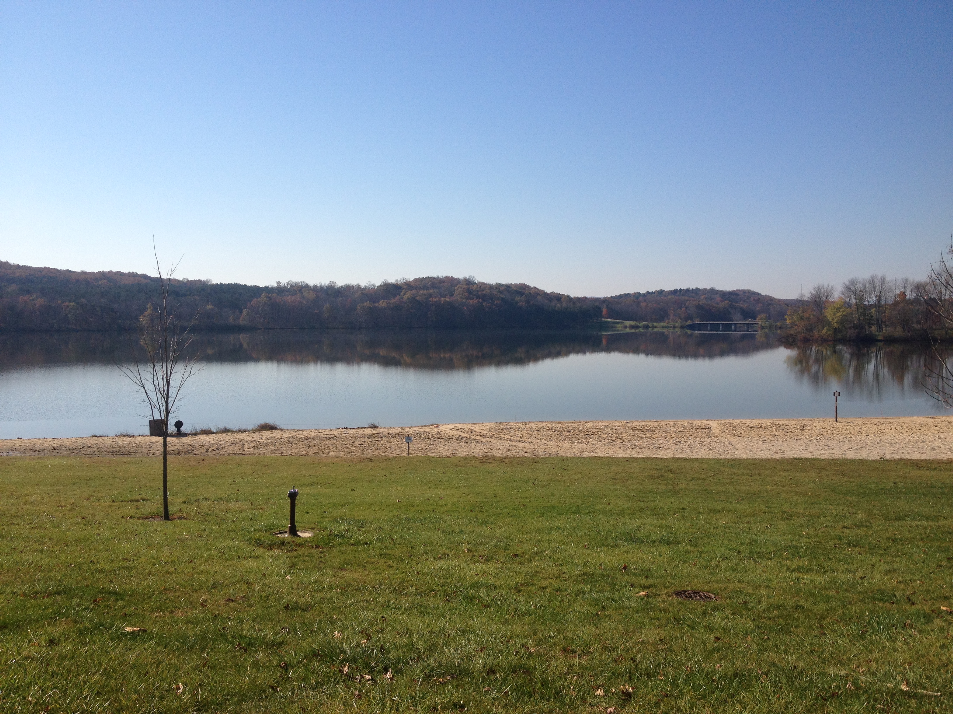
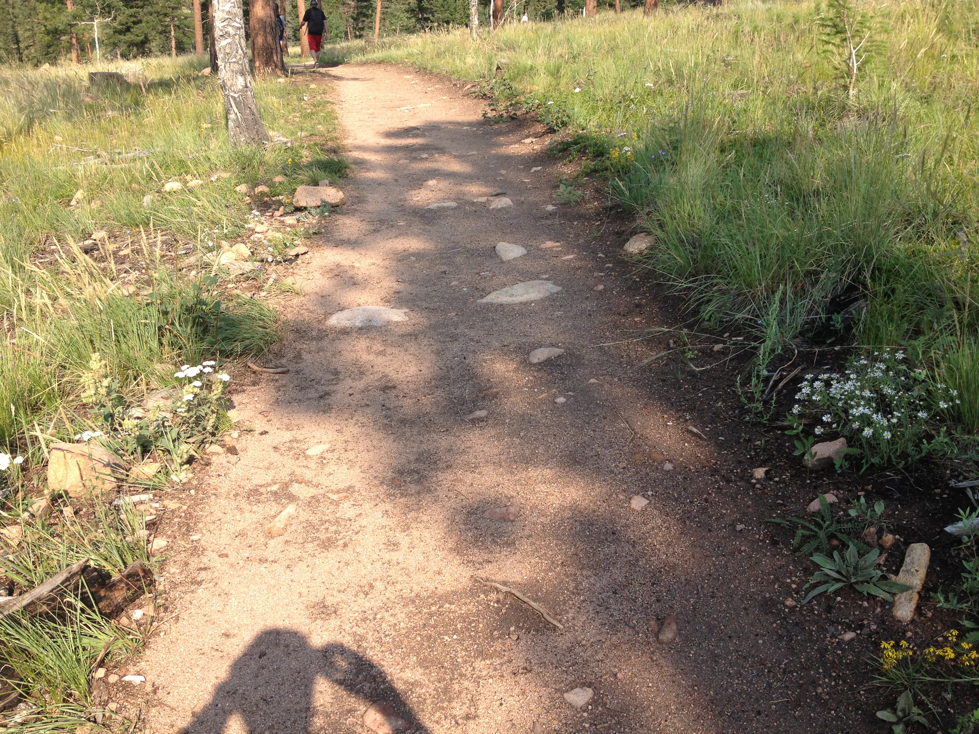
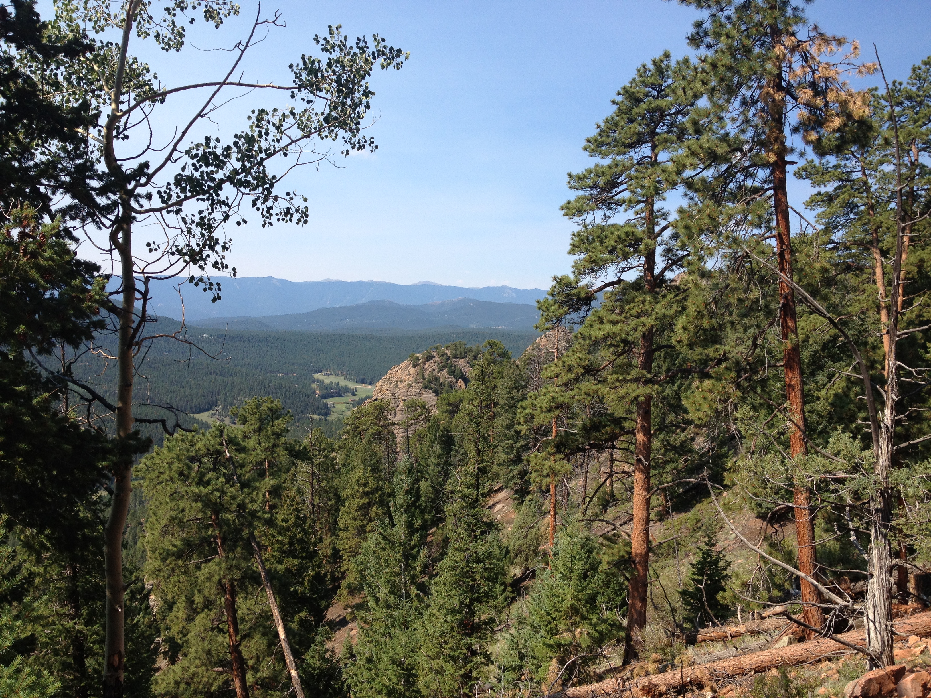
After bypassing the larger towns of Everett and Bedford, I make my first stop at a place called Shawnee State Park, roughly 5 miles west of Bedford.  I have always been kind of impressed with Pennsylvania’s State Park System.  I do not ever recall being asked to pay to enter a state park here, which is quite common in other states, and most of these state parks are well kept, even having recycling bins at some places.  The parking area here, less than mile off the Lincolnway, looks like the kind of place where one can relax, do a little hiking, and have a nice picnic.  After less than ten minutes of walking I discovered something truly amazing!

IMG_1374 IMG_1375

Lake Shawnee actually reminded me of what I would consider one of my dream vacations.  One of the things I would love to do most is get somewhere between 8-14 fun, energetic people and go to a cabin or campground near a lake just like this one.  It would involve boating, swimming, beach volleyball, a little bit or partying, and some hiking, all of which seem readily available at this place.  In addition, this state park is well out of the way of most major cities, and the lake area is also out of the way of any parking lots, which would make for a true escape from day-to-day life.

It was already closed for the season by the time I arrived, but I could imagine this place in summer, with people swimming, boating, and just relaxing.  Well, not relaxing the way many of us think of it.  I will refer to it as “relaxation for the active”.  For those of us that would not necessarily enjoy a full day of just sitting around and watching T.V., this would be our version of relaxing and getting away from it all.  For people with very fast paced lives and/or high intensity goals like training for a marathon, it would still represent a slow-down of sorts, and I would still consider it a way of recharging.

IMG_1379

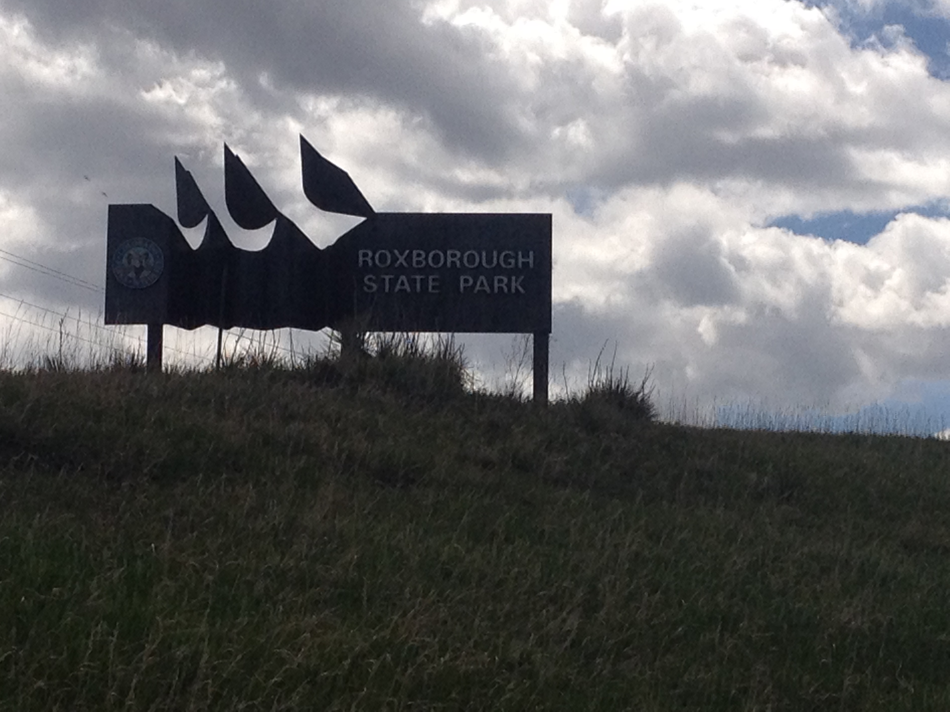
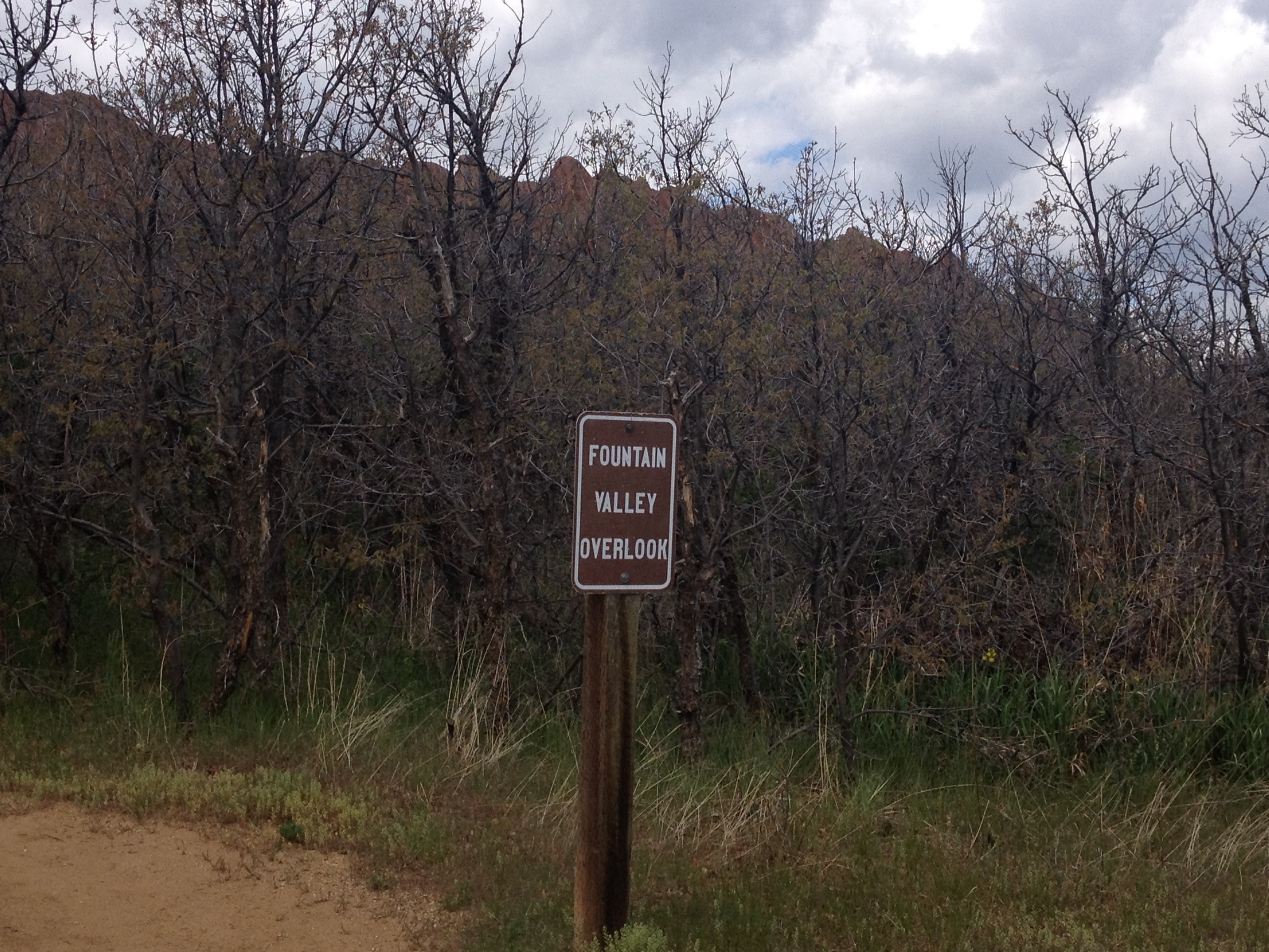
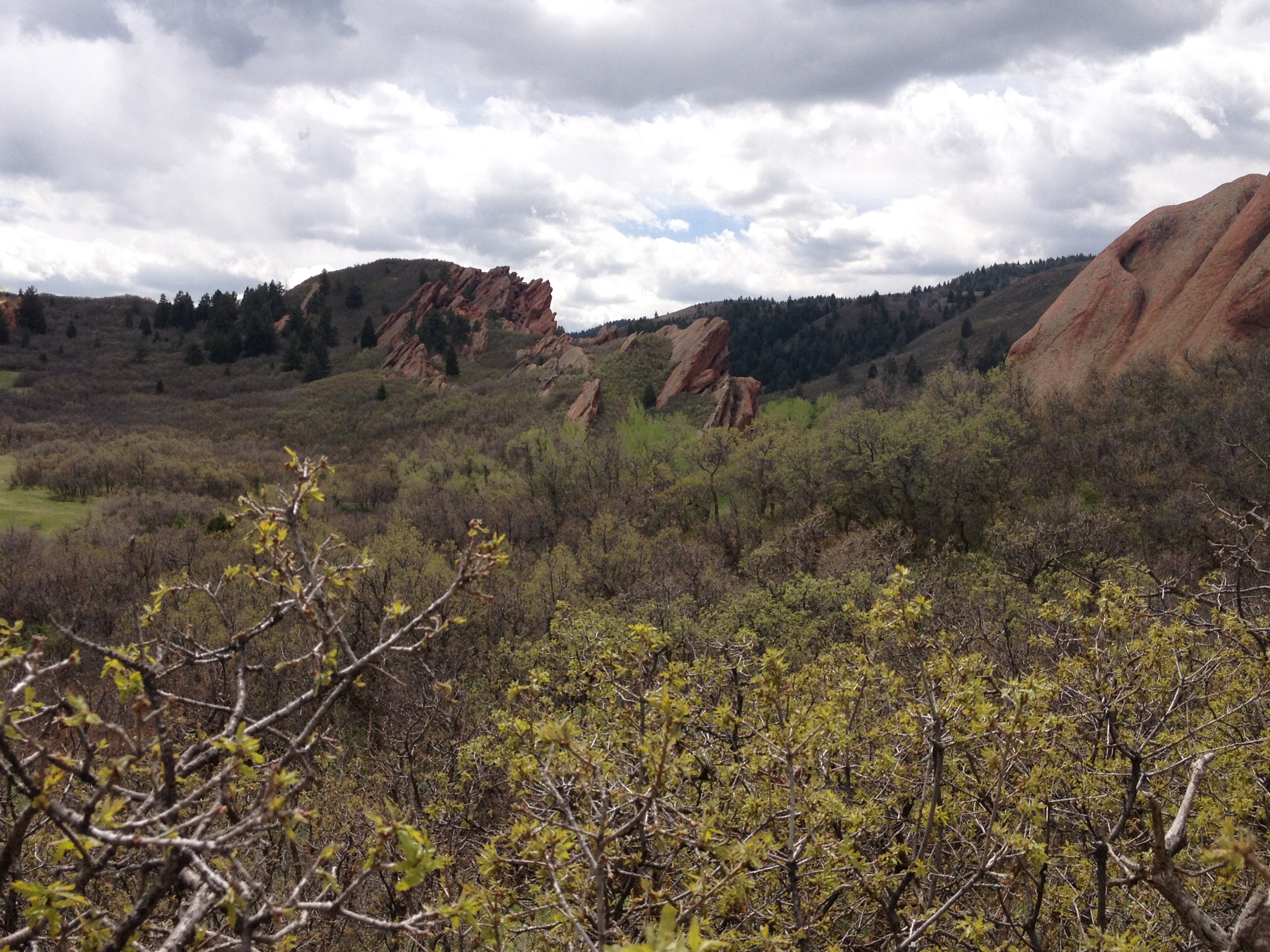
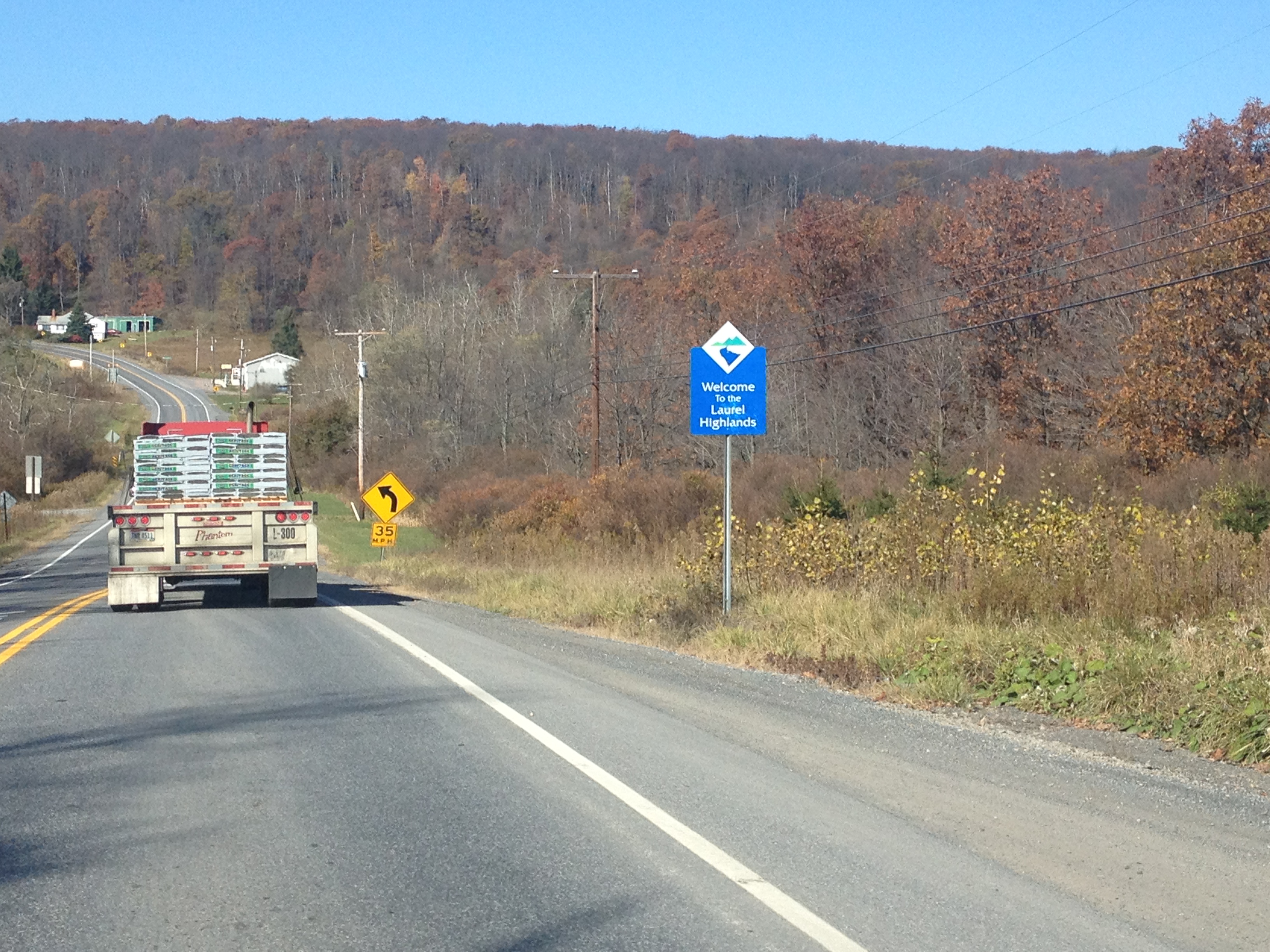
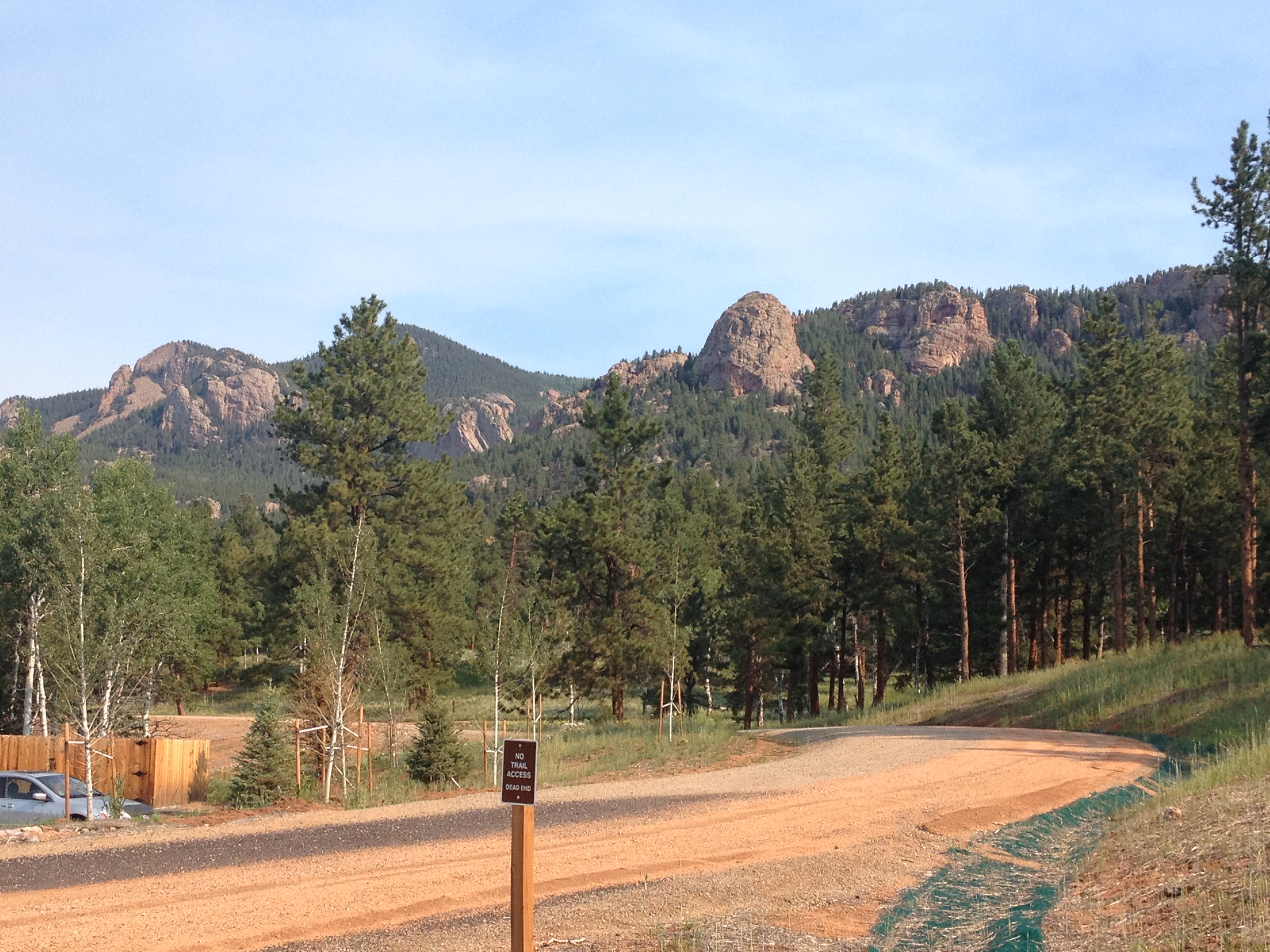
A few miles farther west, the Lincolnway enters a section of Pennsylvania referred to as the “Laurel Highlands”.  I am not sure if this is an official region, or some kind of a tourism marketing strategy.  There was a section of brochures dedicated to this part of the state at the Pennsylvania Welcome Center.  Upon entering the Laurel Highlands, the highway actually ascends up a fairly steep slope, going from basically sea level to periodic summits between 2600 and 2900 feet in elevation.

IMG_1380 IMG_1381 IMG_1382 IMG_1383

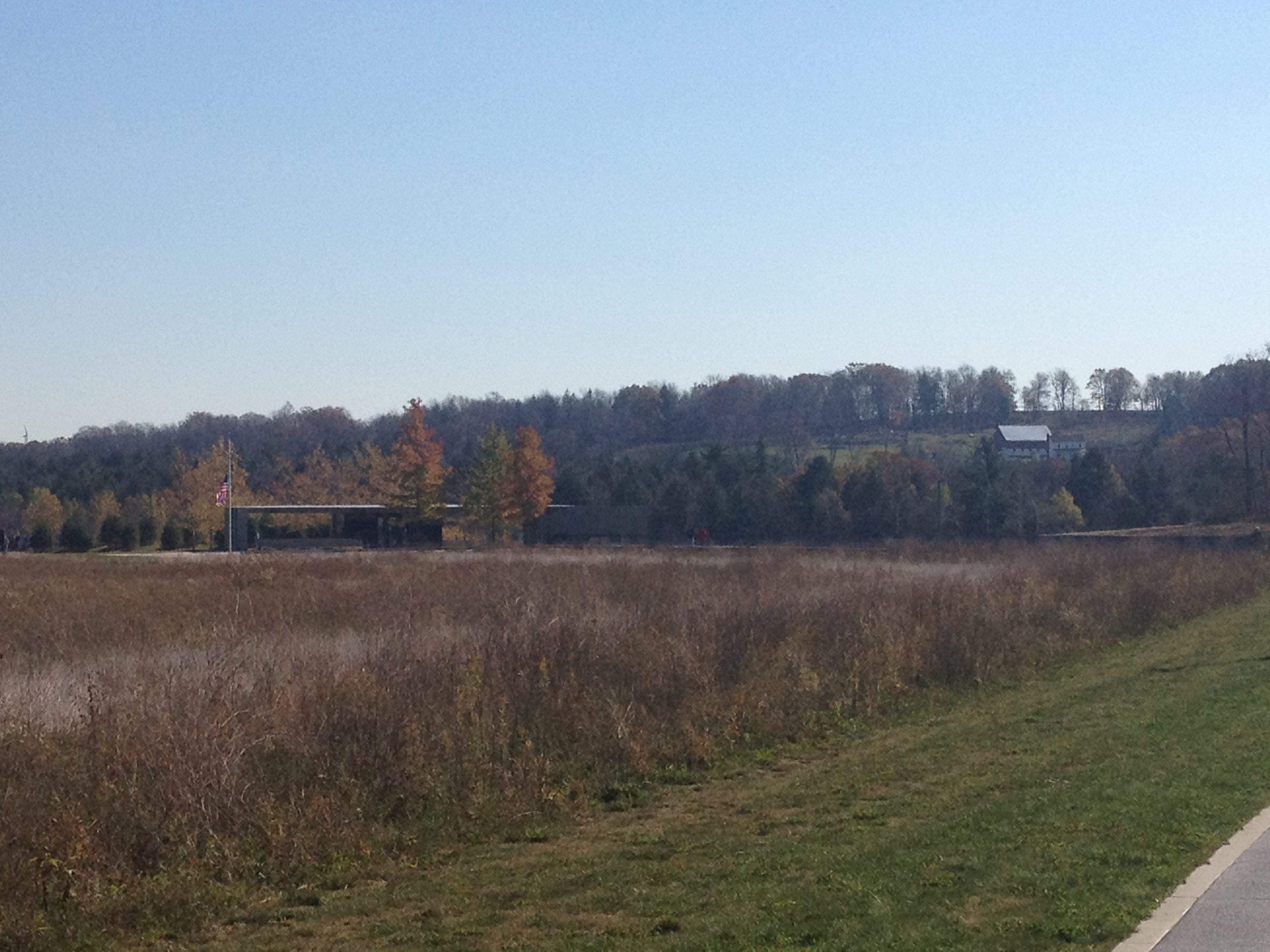
One of the main points of interest in this region is the United Flight 93 memorial near Stoystown, PA.  On September 11, 2001, terrorists hijacked this plane as part of a four plane attack on the United States.  Two of the planes were flown into the World Trade Center, and one was flown into the Pentagon.  This flight was headed for the Capitol Building (most likely) when the passengers and crew on this flight mounted a plan to retake the plane.  Their plan caused enough confusion to prevent a fourth strike that day, and the plane instead crashed in an empty field in Southwestern Pennsylvania.  All of these passengers, as well as the flight crew, lost their lives that day.  All 40 of them are buried and memorialized on this site.  I don’t know the names of these people, nor will I ever.  But they are people who truly embodied the word courage, and made an unexpected sacrifice for their country.  In a strange way I felt their presence here as people who have earned, and deserve all of our respect.  I would never had thought of this had I not traveled through this area, but I am really glad that someone decided to put up a memorial to these 40 heroes of recent American history.

IMG_1386

For almost all of this stretch of the Lincolnway, the towns I go through are really quite small.  In fact, they are smaller than I expected.  Finding even your basic road trip mainstays like McDonalds and Subway was quite difficult.  One could also see some remnants of the pre-interstate days on this road much the same way they could see these remnants traveling route 66.  Some of these motel signs even contained some outdated advertisements, such as “Color TV”.  I have a DvD series at home about route 66, which discusses all of the famous stop-off places along that route.  I wonder if anything similar has been done for the Lincolnway.

IMG_1387 IMG_1388

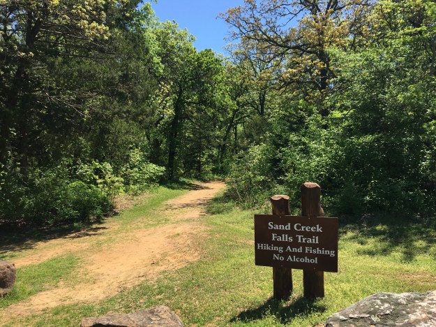
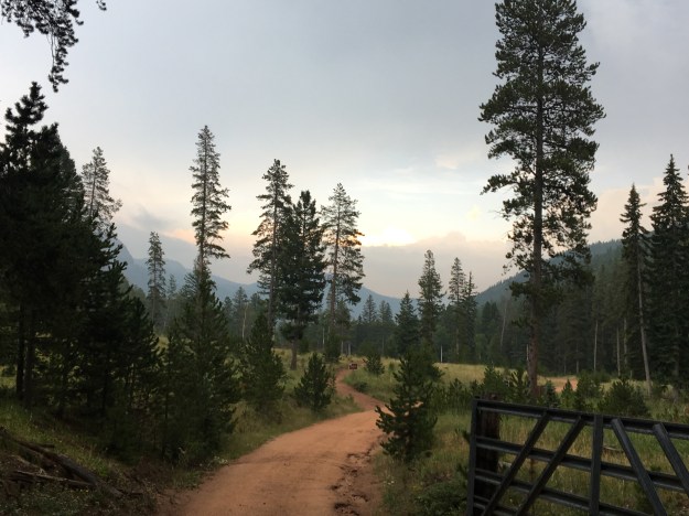
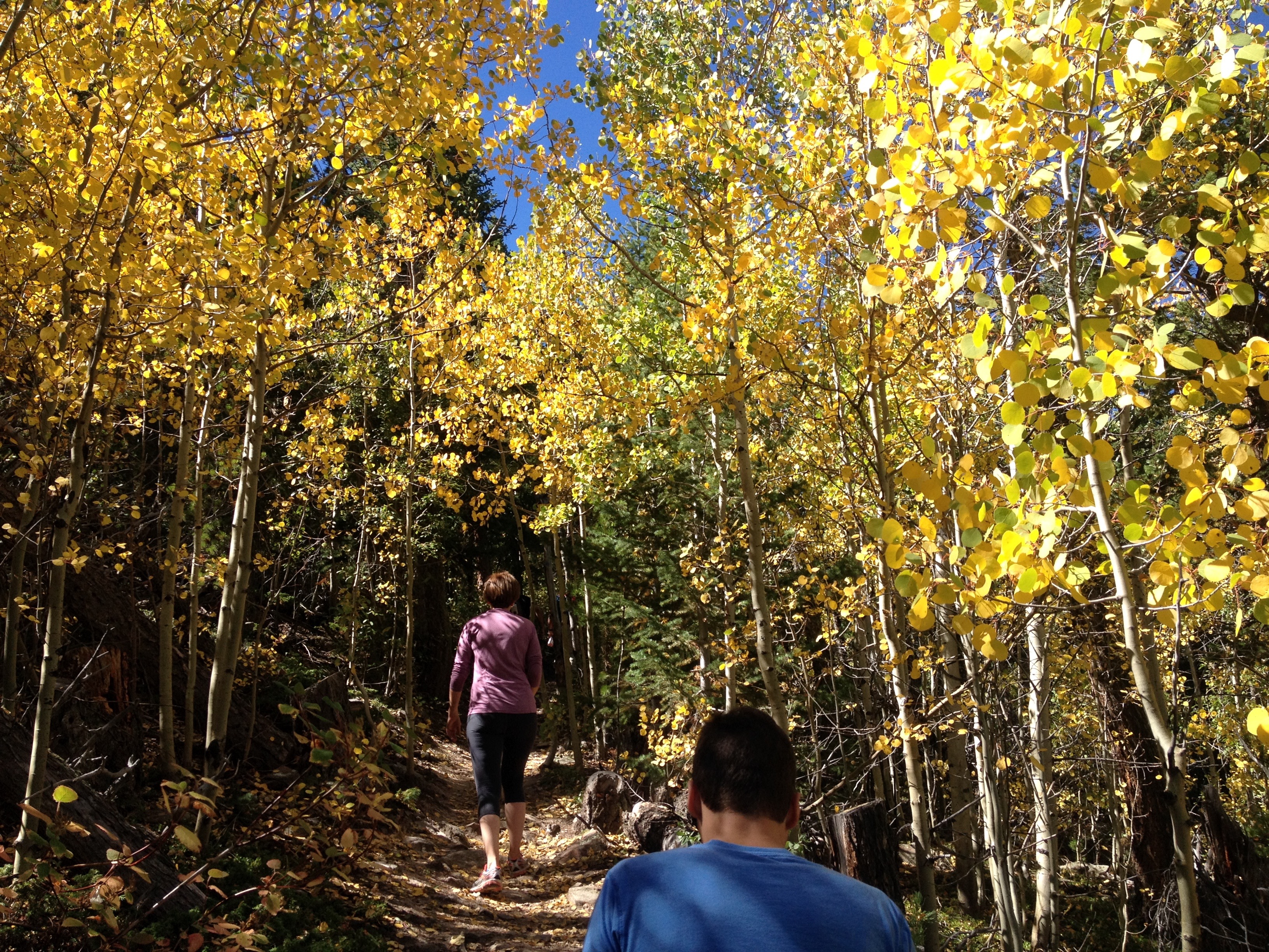
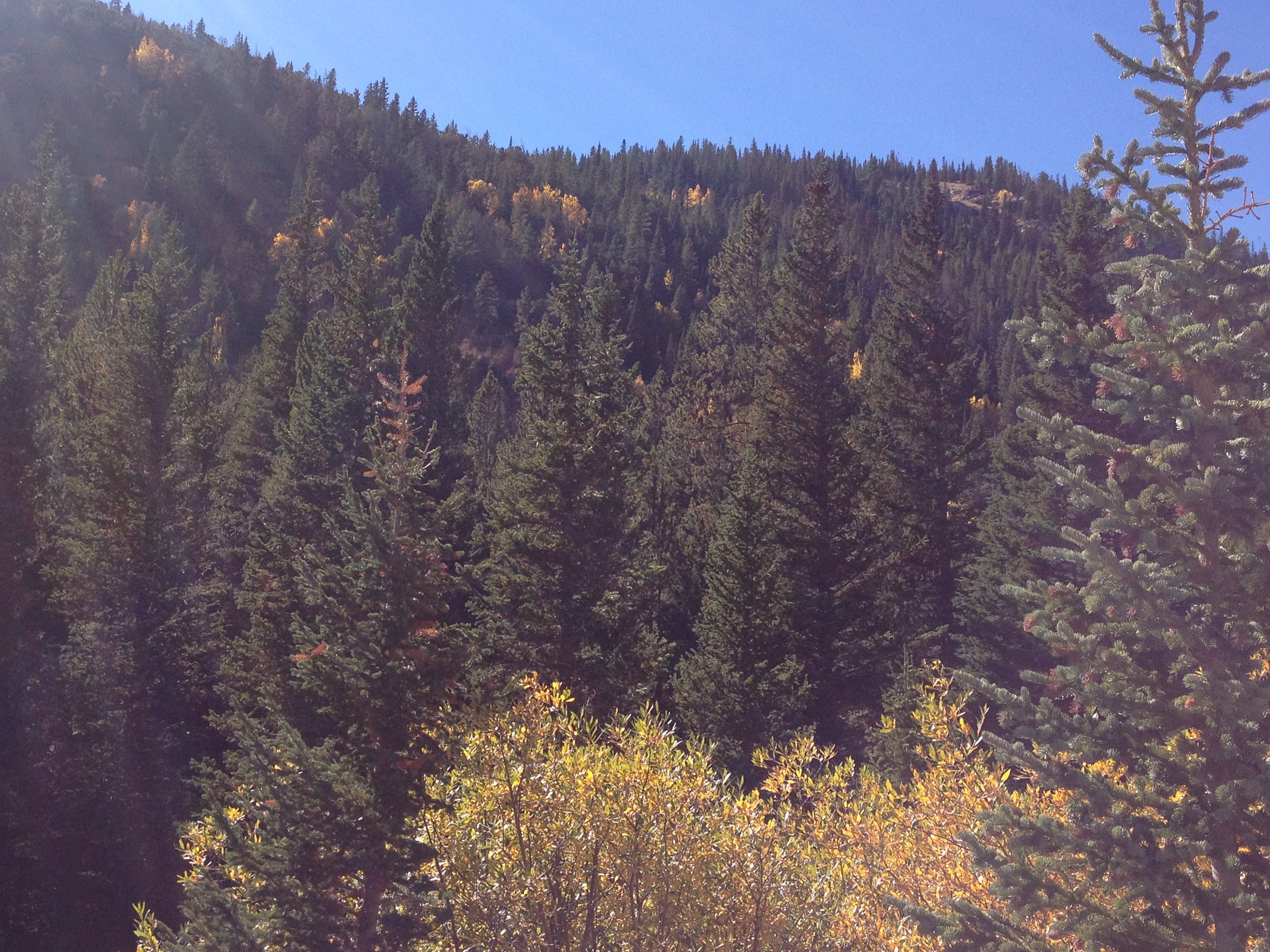
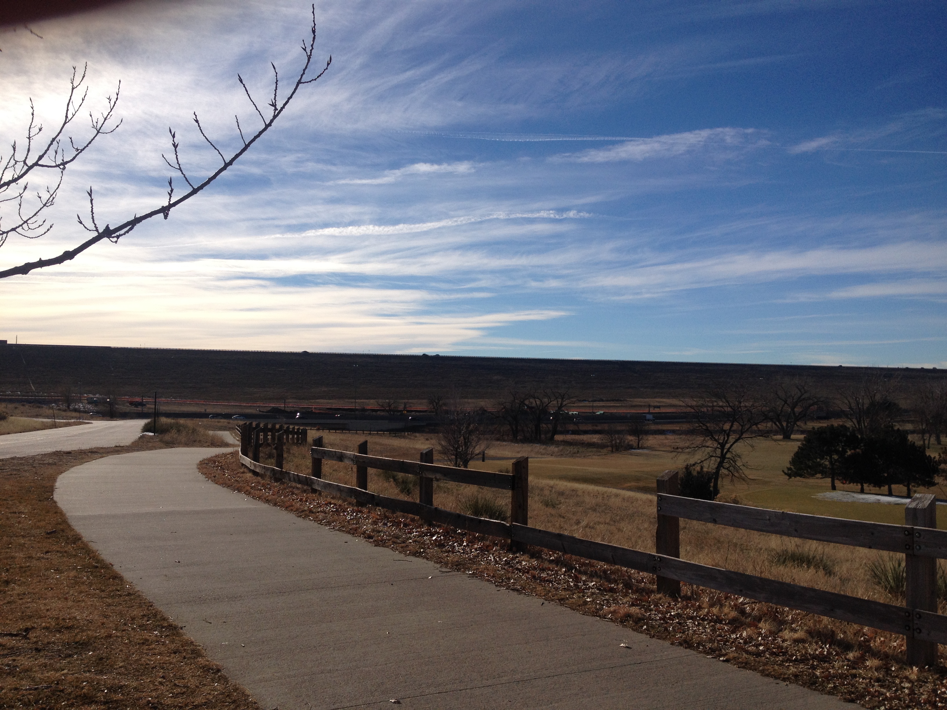
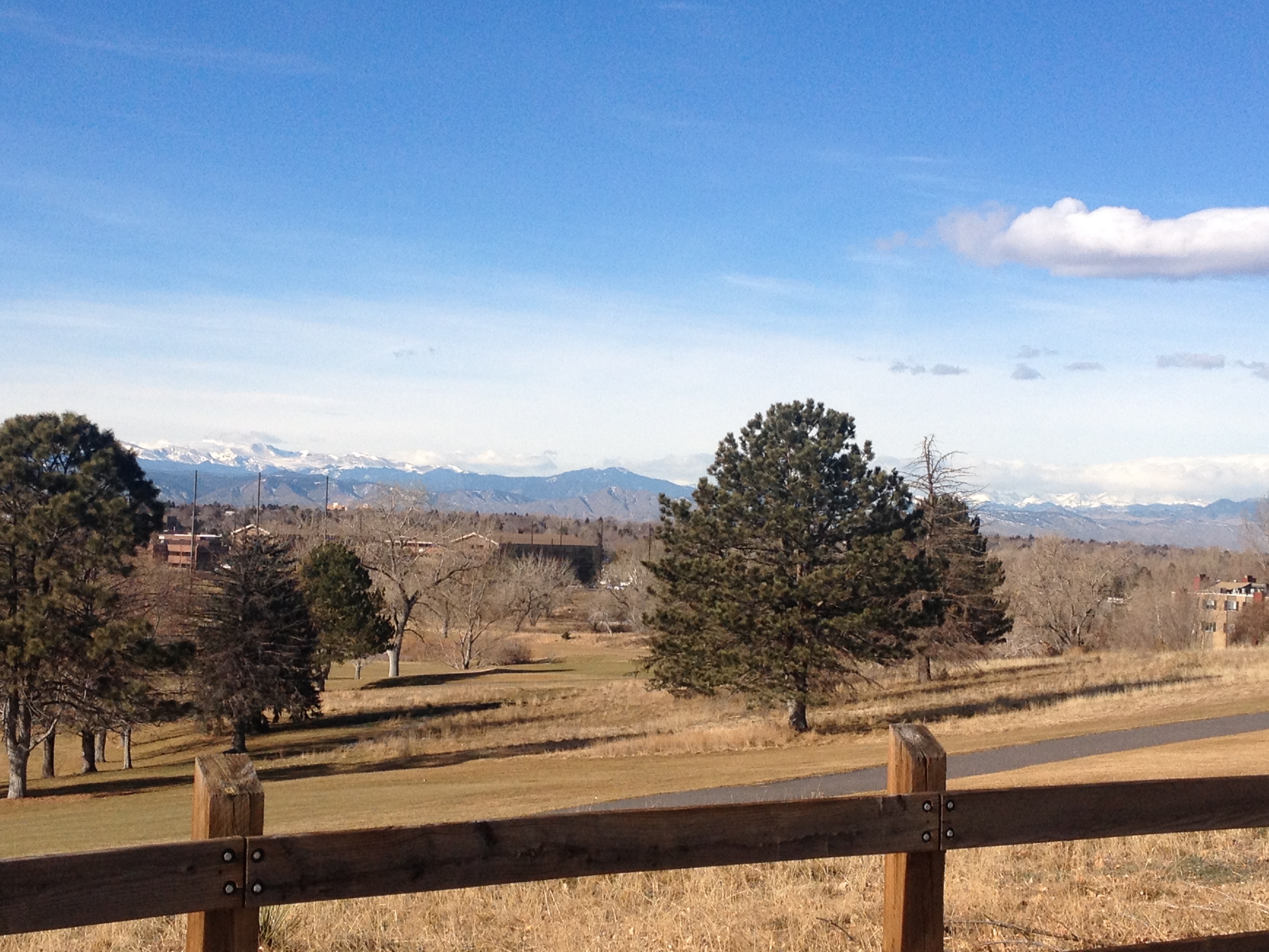
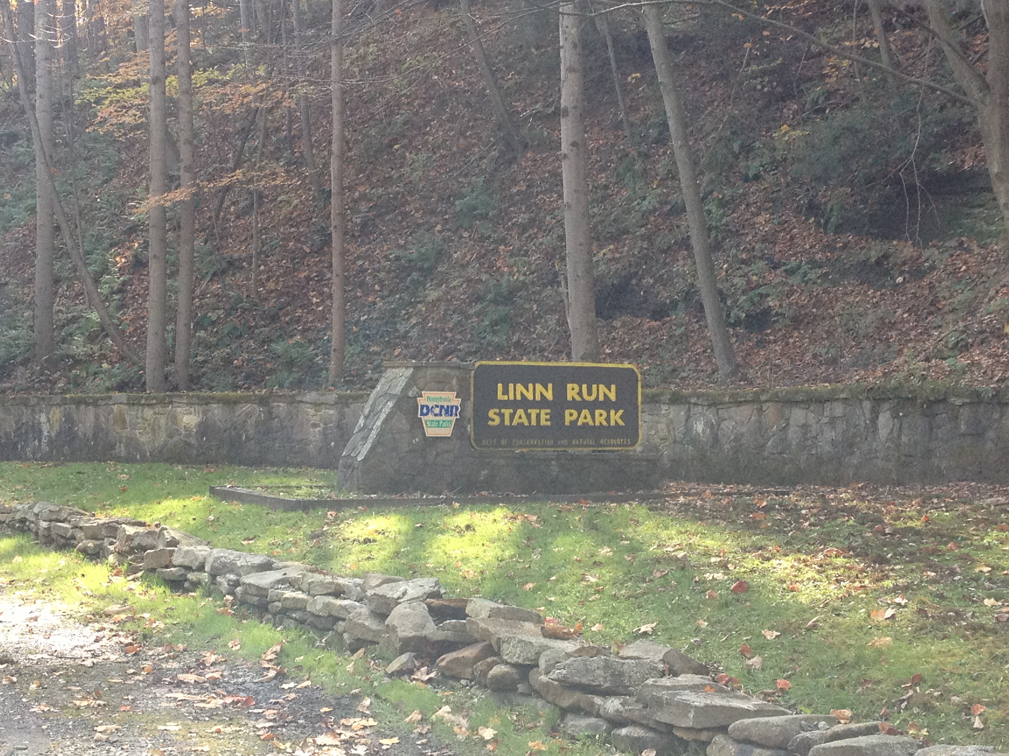
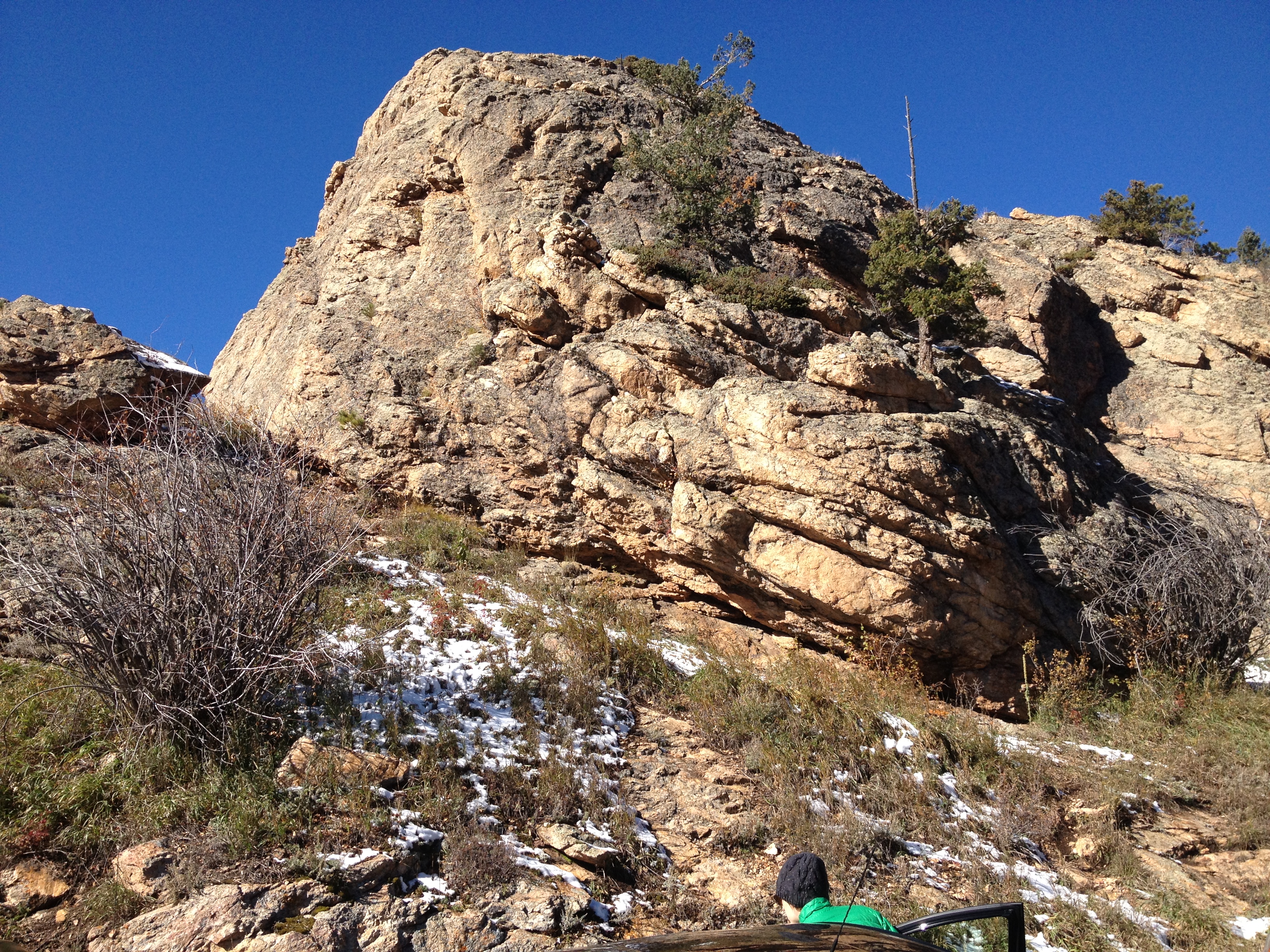
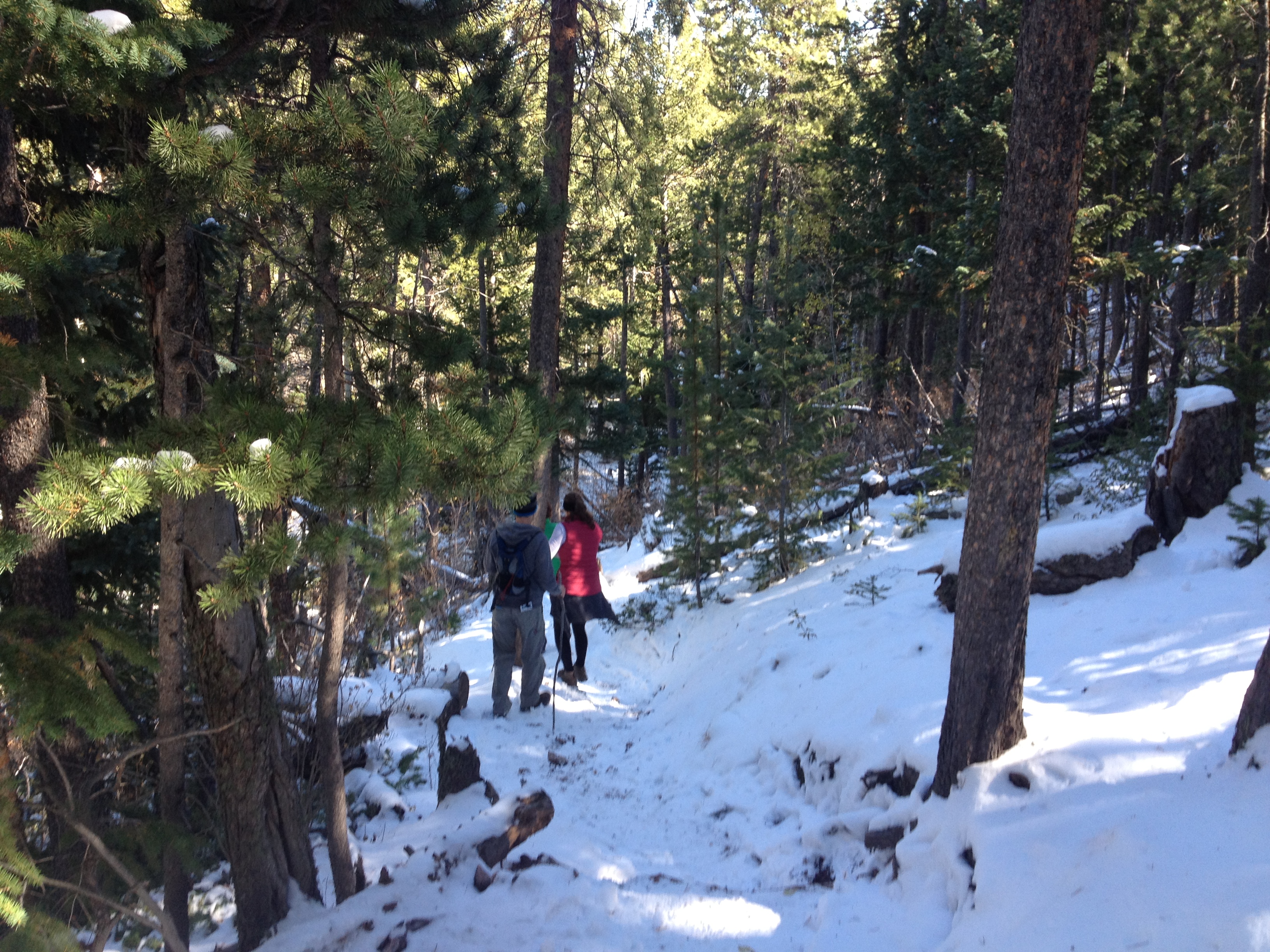
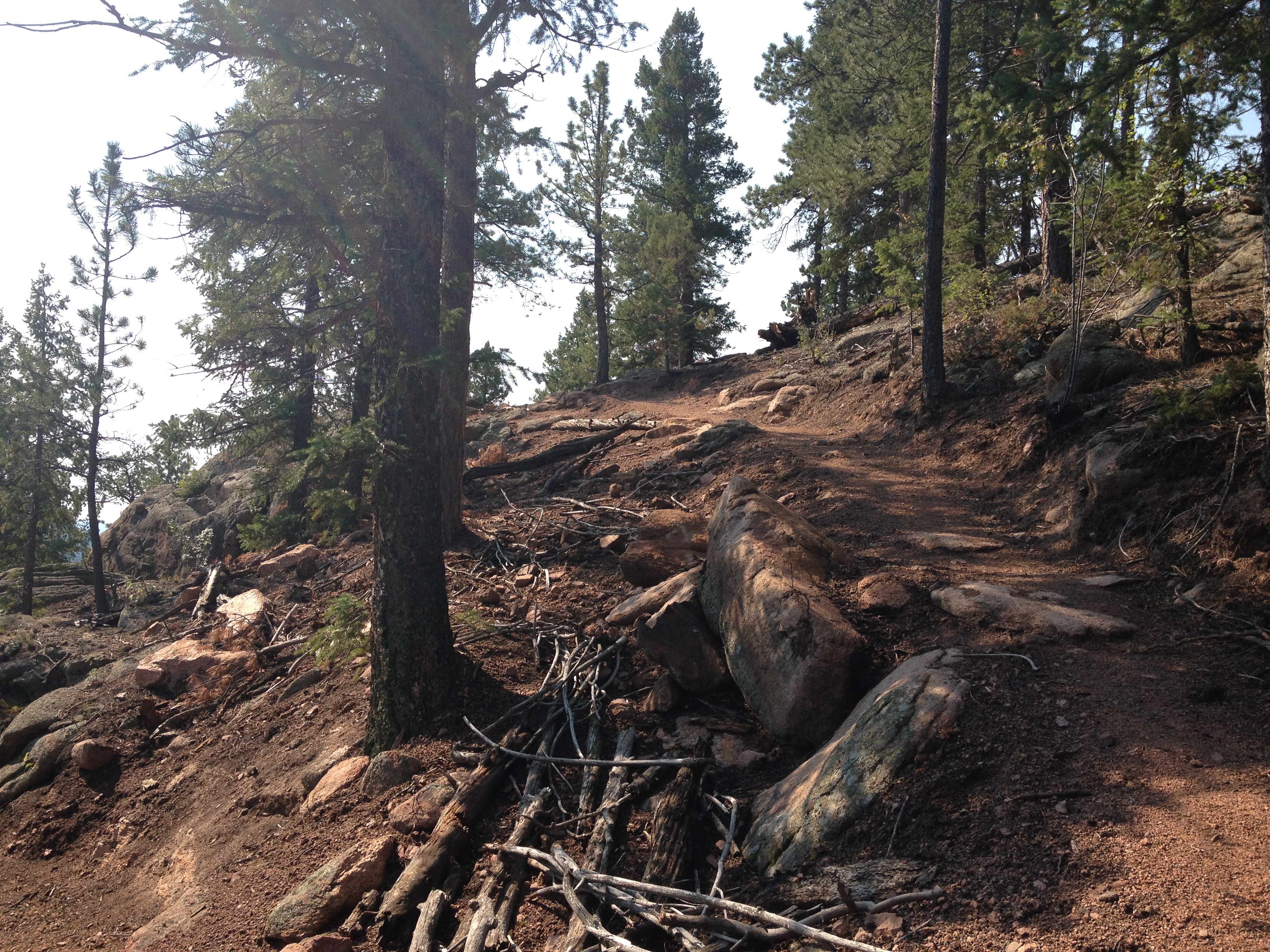
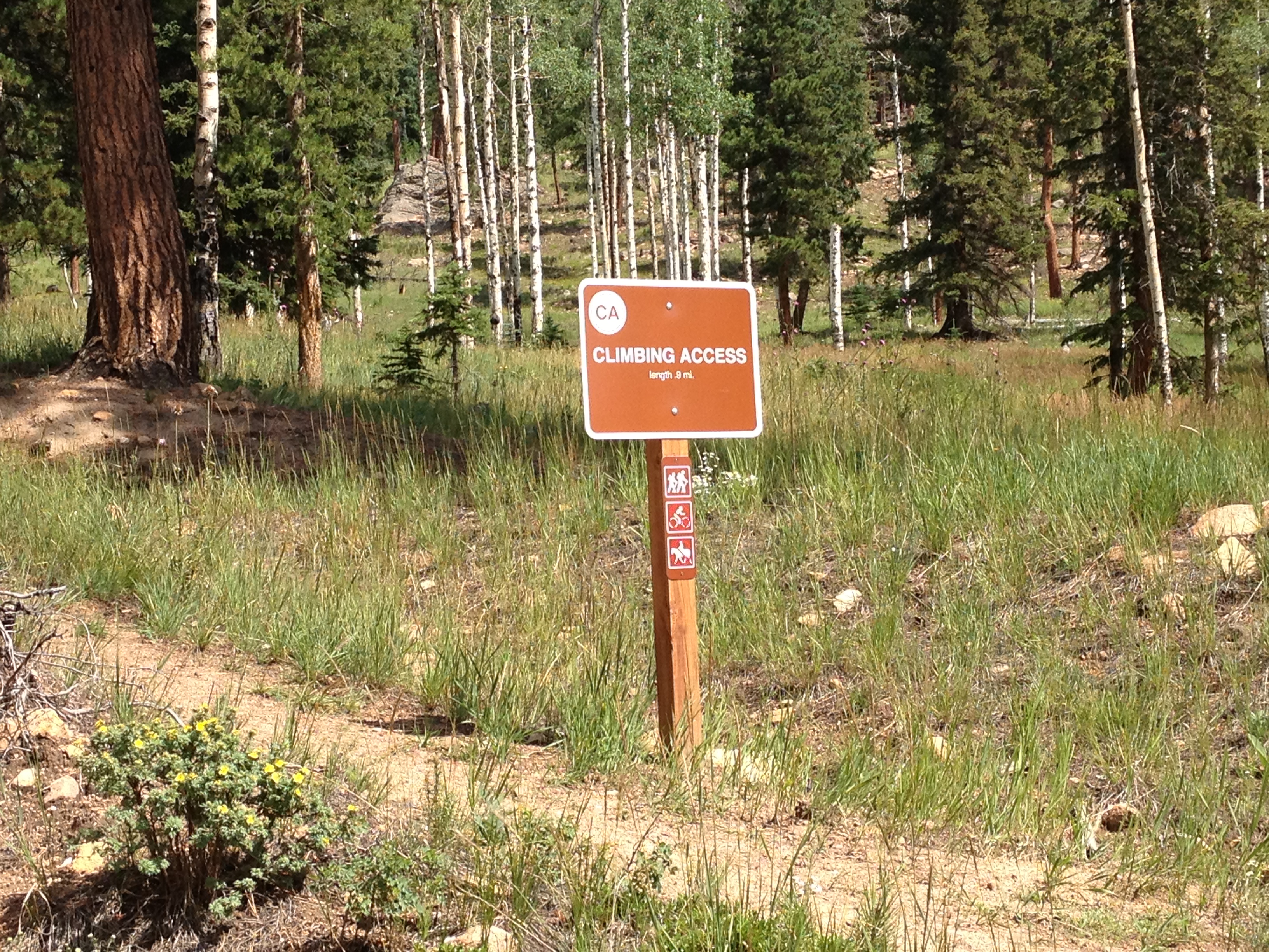
On the other side of the main summits in the Laurel Highlands, I stop at one of the State Parks, a place called Linn Run State Park.  This one, several miles off the Lincolnway, is quite different.  It is far more of a rustic fishing and hiking state park, with some really beautiful fall colors at this time.  The main odd thing I saw here were little homes, most likely people’s second homes, inside the park.  I did not know State Parks allowed people to build homes in them, but apparently this one does.

IMG_1391 IMG_1392

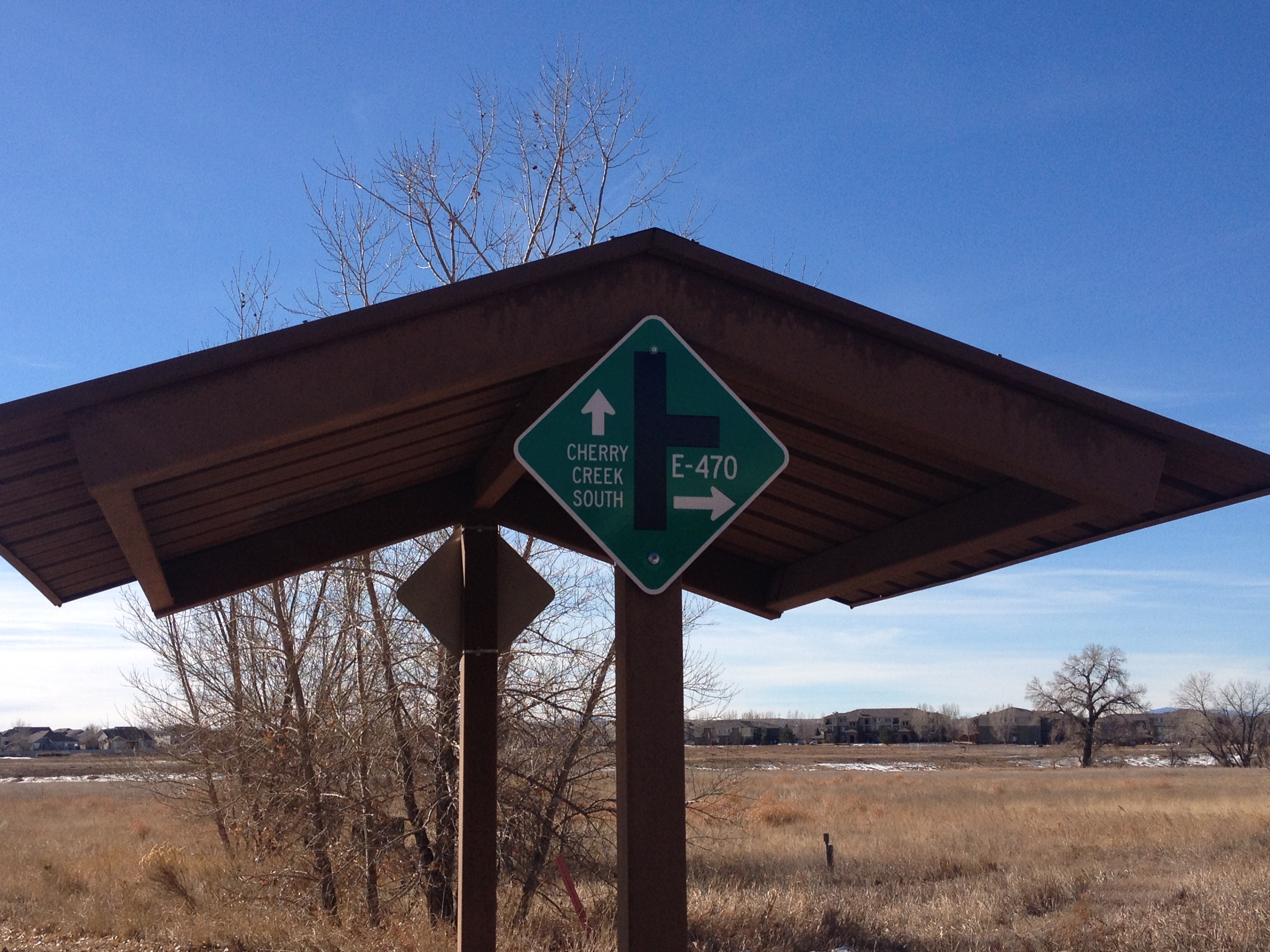
Continuing west on U.S 30 the drive got a little bit frustrating.  Just past the town of Ligonier, the road opens up into a multi-lane highway, but it does not take long for the road to become suburban in nature, with lots of traffic lights, shopping malls, etc.  Traveling roads like this does take significantly more time than traveling on an interstate.  This is why nearly everybody that travels long distances across the country takes almost exclusively interstate highways.  However, I have noticed today, traveling along the interstate does often mean missing some great places along the way, and I truly enjoyed having the time to take this route.  On the interstate, travel is quite monotonous.  Every exit seems to largely have the same places, the same gas stations, the same fast food, etc.  This is especially true of roads like the Pennsylvania Turnpike, where exits can be over 20 miles apart in places, and most of the eating/fueling is done at rest stops, which are designed to all look the same.  Travel on state and U.S. highways, and one can see what makes each town unique, and see spots that they cannot see anywhere else.  This is why I enjoy traveling on roads like this when not in a hurry.

IMG_1394

My final stop-off was somewhat of a disappointment.  In the travel guide I picked up at the Pennsylvania Welcome Center, I saw an advertisement for a Big Mac Museum.  I immediately thought it was a neat concept.  I wondered how much material there would be about one single sandwich, but was intrigued by the idea of a museum dedicated to one sandwich.  However, this museum was not really a museum.  It was just a McDonalds with a giant plastic Big Mac and Big Mac related newspaper clippings behind some glass thrown periodically throughout the restaurant as decorations.  It is really no more special than the “Rock N Roll McDonalds”, and if this can be considered a “museum”, than every single Five Guys can be thought of as a museum to their burgers.

IMG_1396 IMG_1397

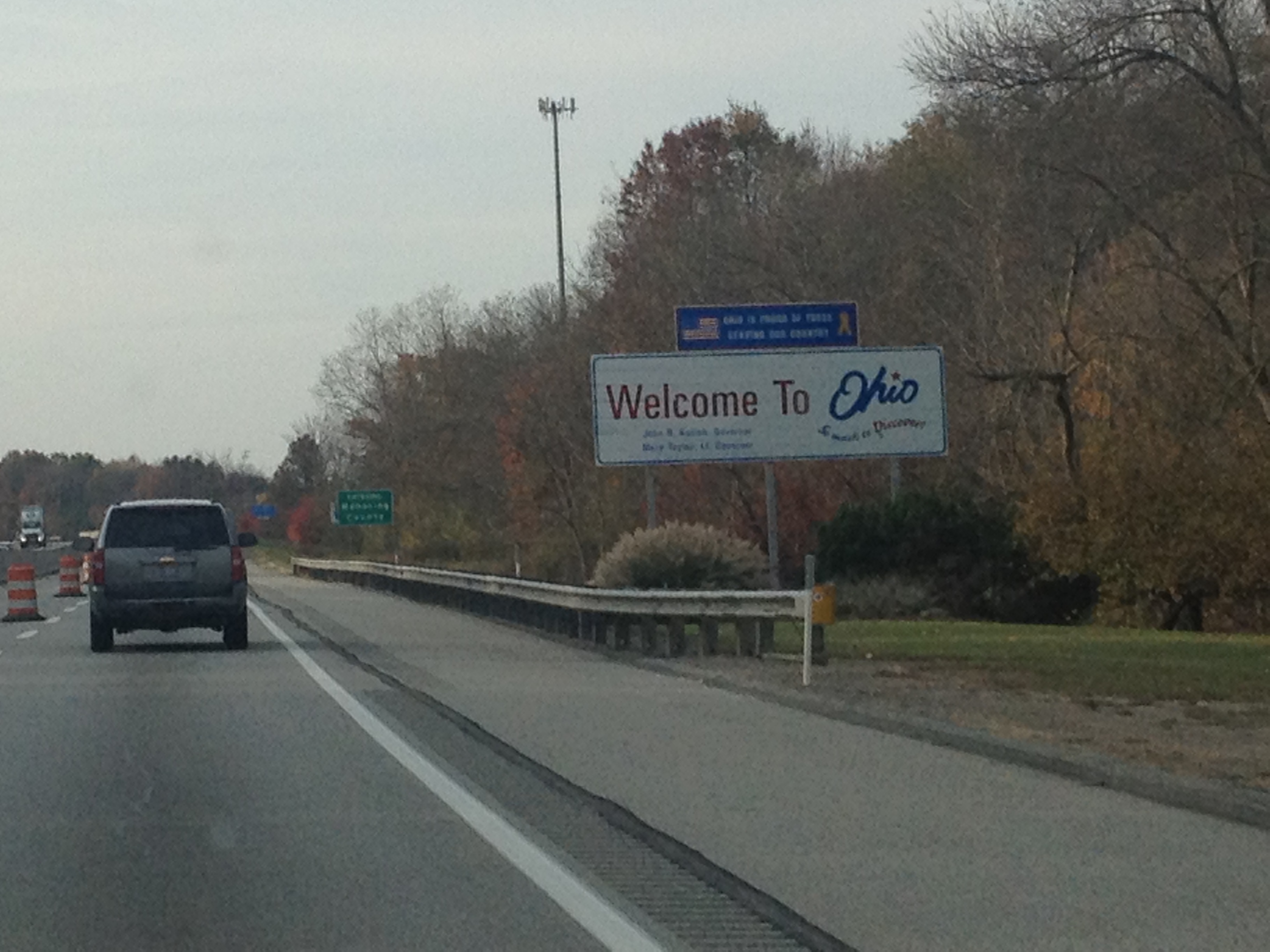
Knowing that the Lincolway was about to go through even more suburbia and then downtown Pittsburgh, I decided to finally hop on the Pennsylvania Turnpike.  I got on at exit 76 and followed it the final 76 miles to the Ohio border.  This cost me $4.80 in tolls, which reminded me of another reason I dislike traveling on this road.  However, more important than the price of toll roads is the opportunities provided by other roads.  By traveling the Lincolnway across part of Pennsylvania, I got to see some magnificent state parks, some interesting towns where I could picture the day to day lives of people much different from me, and part of our nation’s history.

Golden Gate Canyon State Park

IMG_1152

Only half an hour outside of Golden, Colorado, Golden Gate Canyon State Park represents one of the easiest hiking places to get to from the Denver metropolitan area.  It is definitely a lot shorter of a drive then Rocky Mountain National Park, but is probably a little bit longer than The Flatirons in Boulder.  My visit to this park was not in peak season, on the 19th of October, but it was on a weekend.  Based on what I saw today, it appears that this park is significantly less crowded than both Rocky Mountain National Park and the Flatirons, and therefore may represent a more tranquil alternative to those two destinations for day hikes.

Yesterday, we visited the east side of the park, parking in the first parking lot in the state park off of Crawford Gulch Rd.  At this parking lot, our elevation was just short of 7,800 feet.  I have to admit, I was a little bit apprehensive about doing a hike this high in elevation well into October.  Last spring I came to the conclusion that the in-between seasons, when it is not warm enough to for activities at high elevations, but not quite ski season, are the best times of year to explore areas at lower elevations.  But, I knew that it was going to be a warmer day in Colorado, with southwest winds, and highs in the 60s in Denver, which would mean temperatures could be tolerable at this elevation.

IMG_1153 IMG_1154

Upon exiting the car, I immediately noticed two potential hazards.  One was the wind, which was quite strong that day, and made the temperatures, near 50 at the time, seem quite a bit chillier.  It did not help that our hike’s destination was a place called “windy peak”.  I kept thinking to myself, if it is this windy at the trailhead, I am in for an unpleasant summit.  Second was the fact that hunting is permitted in pretty much the entire area where we would be hiking.  Most likely, this is one of those irrational fears that we all seems to have.  It’s kind of like all of those posts we see that indicate that more children get injured by trampolines and swimming pools than by strangers, yet, most parents seem way more afraid of their kids talking to strangers than using their backyard trampolines and swimming pools unsupervised.  But, for some reason I did get a little nervous when I saw this sign.  Luckily, I was able to put this out of mind pretty quickly.  We would only see one group of hunters on this hike, and they seemed like they knew what they were doing.

IMG_1155 IMG_1156

On this hike, we dealt with the remnants of two recent weather events.  First was the major flooding event last month.   In fact, one of the roads to the trailhead was washed out by this flood and closed.  We had to park right by the main road, and hike a little extra to get to the trail.  This was no big deal, and based on this, we could see why repairing this road would be a relatively low priority for the State of Colorado (compared with, say U.S. highways 34 and 36 near Estes Park).  We also had to traverse through some snowy areas.  Friday morning, Denver actually received it’s first snow of the year (which seems really early to me).  There was more snow in the mountains, and parts of the trail, especially those in the shadowy areas, and near our highest elevations, were snowpacked.  The snowpack, however, did not exceed 6″, where it would start to make the hike tougher and eventually impassible.  It did, however, make some downhill stretches a bit slippery and more hazardous than normal.

IMG_1158 IMG_1159 IMG_1160

Somewhere between 1/2 and 2/3 of the way up, we saw a couple of neat rock formations, like this one, and decided to go off trail and take a few side excursions.  This mostly meant physically climbing up the rock, and then rejoining the trail the next place we see it.  It’s the kind of thing I periodically do with hikes that are not going to completely exhaust me (like a “14er”) to add a little extra spice to the experience.  Upon completion of the second of these side excursions, I saw the tall peaks in the distance for the first time.  These peaks, which I would later be able to identify as Mt. Evans, Mt. Bierstadt, Gray’s and Torrey’s Peaks, showed up in the southwest sky.

IMG_1162 IMG_1161

The end part of the hike involved traversing through a fairly uniformly snowpacked and fairly dense forest.  We arrived at Windy Peak, whose elevation is just shy of 9,100 ft.  The views from windy peak are pretty spectacular, but, as promised, it was quite windy here, and quite chilly.  It was definitely windier than it was at the trailhead, and this hike seemed to follow the similar pattern of the summit being significantly windier than even places a mere 50-100 feet down the mountain.  Due to the conditions, we did not remain at Windy Peak too long.  Basically, we remained there long enough to eat a cliff bar without feeling like we were rushing through it, and to take a few pictures.

IMG_1163

On the way down the mountain, we actually noticed significant snowmelt.  In fact, the road to the park was icy in the morning, but clear in the afternoon.  We also came to the conclusion that Golden Gate Canyon State Park is one of the best signed hiking destinations we had ever been to.  Every trail junction has signs like these, with a complete map of the park, and arrows pointing to where to go.  I’d say getting lost at Golden Gate Canyon State Park is next to impossible!

Colorado is full of places to explore.  In fact, as a relative newcomer, it is somewhat overwhelming.  I think I am finally well versed on all of the skiing options in the state, and I am getting a handle on all of the whitewater places.  But, hiking, climbing, and bicycling, it seems like can be done almost anywhere.  And nearly every trail area seems to have trails varying from easy to very difficult like this one.  How any Coloradan chooses where to go on a particular day remains a mystery to me

A New State Park

IMG_0939IMG_0940

Back in May, a new state park opened up in Colorado; Staunton State Park, near Conifer, which is just under an hour Southwest of Denver along highway 285.  I started hearing the buzz about this new state park during the springtime, just before and just after the park’s opening in mid-May.  The manner in which people talked about, and anticipated, the opening of a new state park in Colorado reminded me of how people would respond to the opening of a new restaurant, particularly by one of those celebrity chefs, in Chicago.

Through this, I came to the conclusion that the opening a new state park is the Colorado is the equivalent of the opening of a new restaurant in Chicago.  So, I applied the same crowd-avoidance rules to visiting this park that I would have applied to visiting a new restaurant in Chicago.  I waited a few months (until August), and I went on an off-peak day (today is Wednesday).  And, it worked!  It was not too crowded today at Staunton State Park.

I decided to check out a few different parts of the park, as well as a few different types of trails. Most of the trails in the park, or at least most of the trail length, permits mountain biking. The first mile or so of the trail was actually smooth enough that I would have felt comfortable riding my cyclocross bike on it.  A little bit farther up the road, a few rocks did begin to appear on the trail, but the trail still seemed quite smooth for a mountain biking trail, especially compared with the Apex trail near Golden.  For people who are thinking about getting started with mountain biking, or with little experience looking for something not too intimidating, I would definitely recommend Staunton State Park.

IMG_0941 IMG_0942

These trails also have a very moderate grade, making the hiking not too strenuous.  However, the few mountain bikers I saw traveling uphill on this trail appeared to be going rather slow.  So, it was probably steep enough to produce strain on a biker, but not a hiker.

I decided to check out one of the hiking-only trails.  A vast majority of the park is open to mountain bikes, with trails  that look like the pictures above, but there are a few places where only hikers are allowed.  The one hiking-only trail I took actually had a fairly strenuous section, with switchbacks and steep grades.  This strenuous section only lasted about 3/4 of a mile, making the hike overall significantly less strenuous than what would be labeled “strenuous” at a place like Rocky Mountain National Park, but it was not trivial by any stretch of the imagination, and would seriously challenge anyone that is not in shape.

IMG_0944 IMG_0945

Even these trails open to hikers only were quite wide and well-marked.  They reminded me of what I would refer to as “luxury hiking” back in the Midwest.  Well, without the restrooms and benches along the way.  But, the trail seemed to be laid out in a manner with greater comfort in mind than in many of the other places I have hiked in Colorado.

At the top of the ridge, I could not help but reflect on this view, as well as the views I had encountered at the top of the 14ers (14,000 ft. + mountains) that I had climbed last month.  The more I encounter views like this, and compare them with views like the one at the top of this page (photo taken near the park entrance), the more I begin to think that the best mountain views are taken somewhere between the base and the peak- basically somewhere in the middle.  This is kind of why the view of the Front Range mountains from the hill between Boulder and Louisville is so scenic.  At the top of the mountain, some of the features are a bit tougher to make out.  I guess it took me a while to come to this conclusion.

I did not get to view one of the park’s defining feature, Elk Falls.  The map I was handed at the park’s entrance indicated to me that the trail to these falls was not opened yet.  I guess this park is still a work in progress despite the fact that it is already open to the public.  I could have followed a series of trails to the Elk Falls Overlook, but I figured that with this park’s proximity to Denver (home), I would have plenty of chances to get back here after the trail to the falls directly opens.

IMG_0947 IMG_0948

I did, however, get plenty of views of the park’s other defining feature, the rock formations.  These rock formations appear to make it a great place for rock climbing.  In fact, the park even put together a climbing guide, and specifically labelled the trail that leads to the climbing area “Climbing Access”.  So, it appears to me that this would be a great place for rock climbers, but I would not know for sure.  I have never been rock climbing.  As a matter of fact, I am a bit unsure of whether or not I want to add this activity to my repertoire.  On one hand, people I know who climb appear to love it.  And, it would add an upper-body intensive activity to supplement my current activities, which are mainly lower-body intensive (mainly biking, hiking, and skiing).  However, rock climbing appears dangerous to me.  I am somewhat hesitant to take on a dangerous activity like this when I am perfectly happy with the less dangerous activities I currently do.  It’s just one of those decisions I will likely put off for a while and then make based on something arbitrary, like someone’s fairly ridiculous line of reasoning at a bar one night.

Overall, Staunton State Park appears like a good place to go for mountain biking and climbing, that still offers some fairly good hikes.  I look forward to checking this place out next year, hopefully with the Elk Falls Trail open, and seeing everything it has to offer.  However, I am thinking that for someone whose primary interest is hiking, the options for hiking that does not resemble walking down the road may run out pretty quickly.