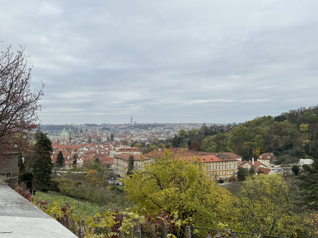
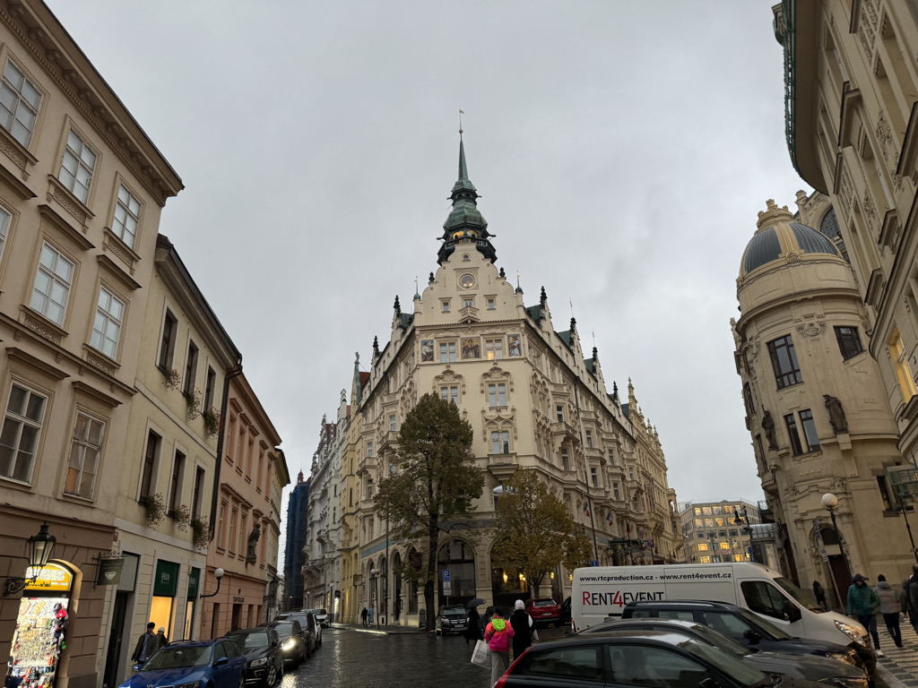
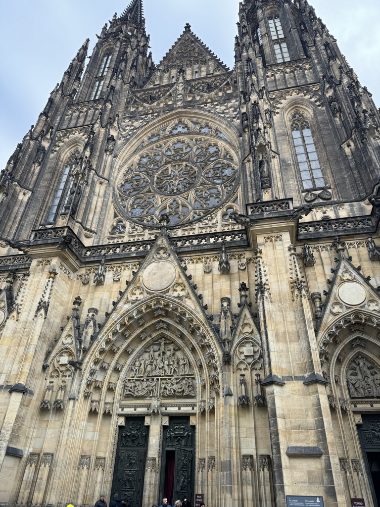
The first thing that stands out to anyone visiting Prague for the first time is the architecture. Navigating the city’s confusing, densely packed roads, visitors encounter one elaborate Medieval or Baroque era building after another.
Many of them show off the centuries of history they embody, as well as what had to have been thousands of hours of attention to detail in design and build.
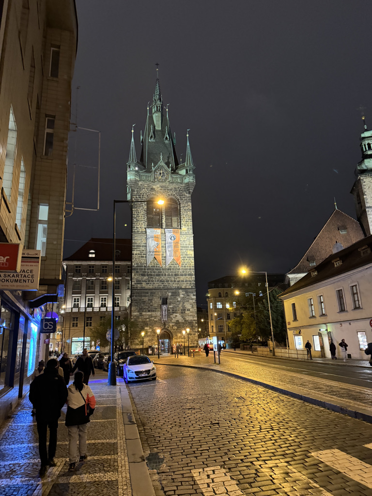
It is perhaps an even more amazing set of structures to behold at night.

It is no wonder the city tops many lists of the most beautiful cities on earth.
Perhaps the most crowded destination in the city is the now over 600 year old Astronomical Clock, right in the center of Old Town Prague.
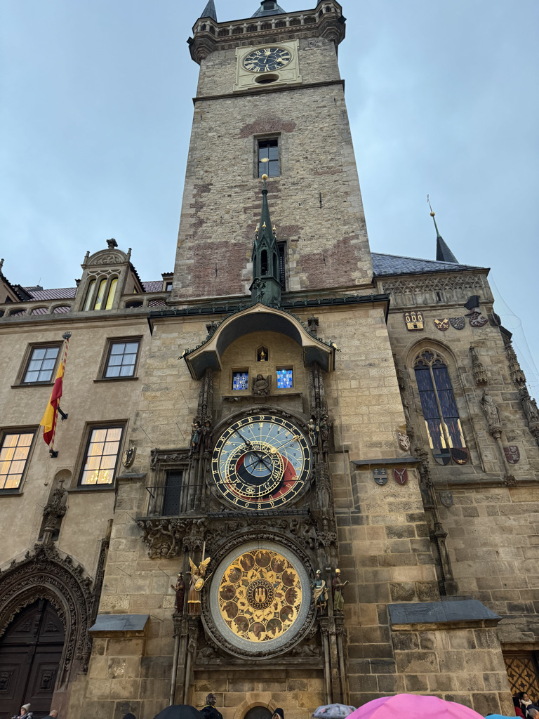
For anyone visiting destinations that are “touristy”, it is imperative to find the right time to visit destinations like these where crowds are constantly gathering for things like the hourly show this clock put on. This clock itself is ironically a window into Central Europe’s past, particularly the 15th through 17th centuries when the majority of its individual components were created. Embedded in the structure is an implication of the values of the time. There is religious imagery. The clock shows the positions of the sun, earth, moon and all of the zodiac constellations. It is also hard to ignore the skeleton adjacent to the upper right portion of the clock itself.
There is probably a near infinite number of inferences that can be made about the values of the past from what features were included in the design of this clock. Historians can rely on other sources and, if they can avoid the trap of their own biases, can create a more accurate description of what the Late Medieval and Early Modern people valued. Looking upon a structure like this, the important thing to realize is that their values were different than ours are today and that many of the assumptions we take for granted in 21st century life do not apply to building constructed so long ago.
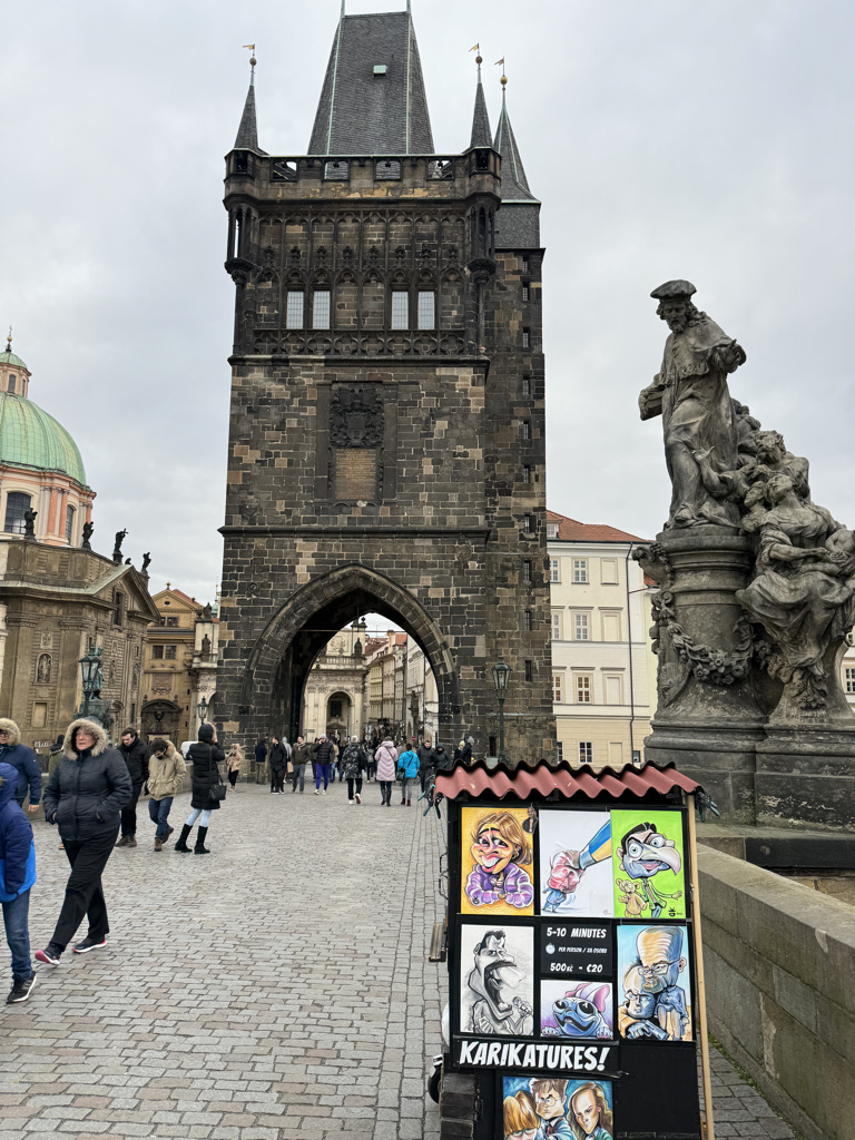
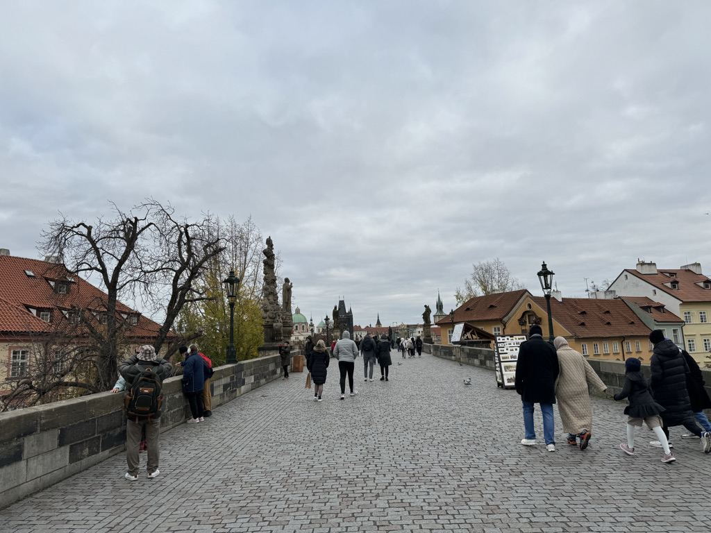
Construction on the famous Charles Bridge started even earlier than the astronomical clock.

This bridge is beautiful to walk both by day and night. On both ends of the bridge, end there is a monument to pass under.
This bridge is one of many places around Prague where the city’s religious past is right in front of everyone’s faces, ironic for a country that is now one of the world’s least religious.
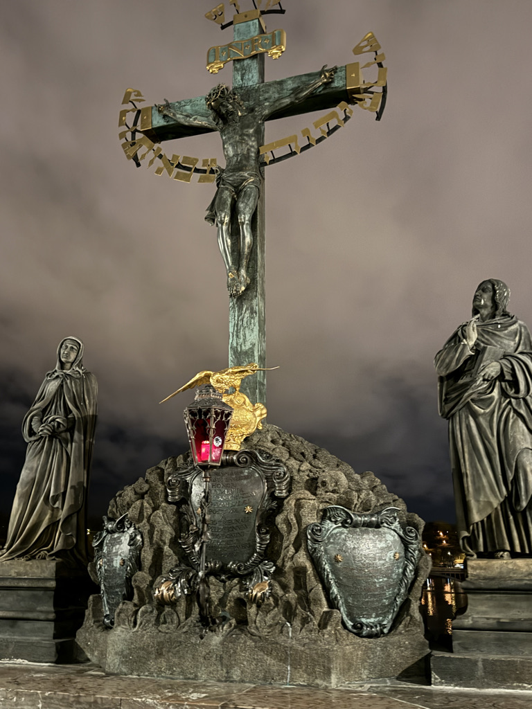
It’s odd because the Prague Castle, which is now the residence of the Czech Republic’s Head of State, is also home to several huge churches.
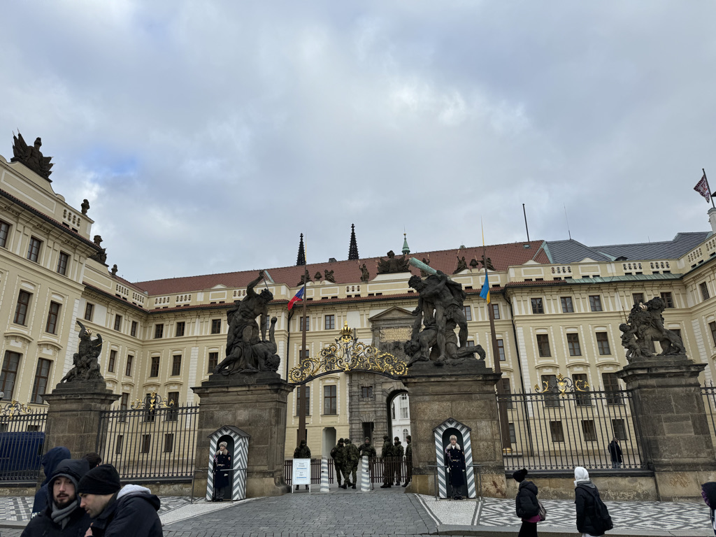

As an American looking upon this, I cannot help but see, right in front of me, the true reasoning behind one of the founding principles of our nation being the “Separation of Church and State.” There are many Americans today who fear any intrusion of religious based values into our public policy is a threat to this principle, but here in Prague, for centuries upon centuries, the church and the state were not even physically separated! Like many Medieval European governments, the church and the state were intertwined, with Bohemia being part of the Holy Roman Empire and often also imposing policy dictated by the pope.
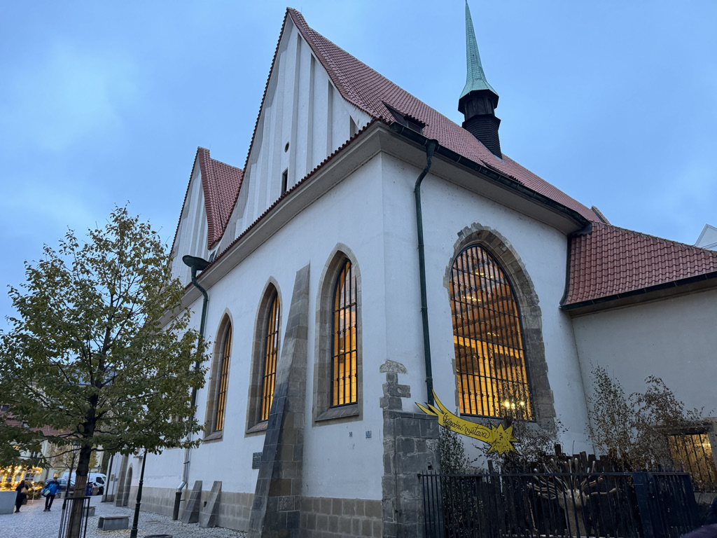
Of course, there were some who questioned it, including Jan Hus, whose Proto-Protestant movement pre-dates Martin Luther by roughly a century. It is here in Prague he preached many of the same principles that would be promoted by Luther, at the Bethlehem Chapel.
Perhaps because the region that is now the Czech Republic did not suffer quite the mortality rate of the rest of Europe from the “black death”, the battle between Catholicism and Protestantism that would take place here would foreshadow what was to come for the rest of Eurpoe.
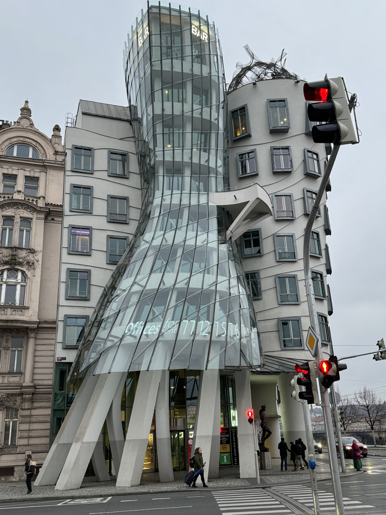
Around Prague, it is not just ancient history that comes to life. The Dancing House was built to on the site of the Prague bombing of 1945.
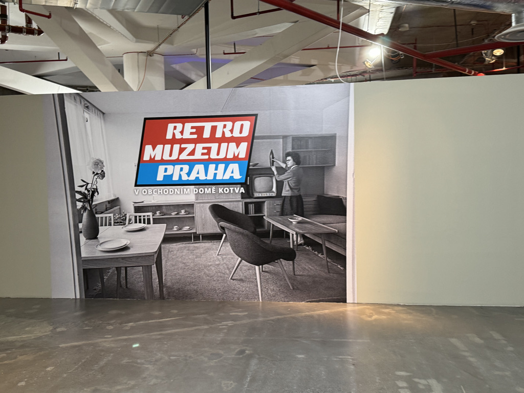
The Retro Museum is one of two museums that depicts life under Communist rule, this one focused on the 1970s and 1980s.
Prague has only been what it currently is for a little over 30 years. So, to experience Prague and its consumer culture and apparently legal marijuana is to be very much in the present day.

The Czech Republic’s per capita GDP is right around the same as Estonia and significantly higher than Poland, making it one of the more successful ex-soviet countries. With an amazing amount of green space and parks, the place seems like an incredible place to be and live.
To be in Prague is to be in the present moment, but constantly surrounded by echoes of the past and be constantly reminded of what series of events made the world what it is today.


")
")
")
")
")
")
")
")
")
")
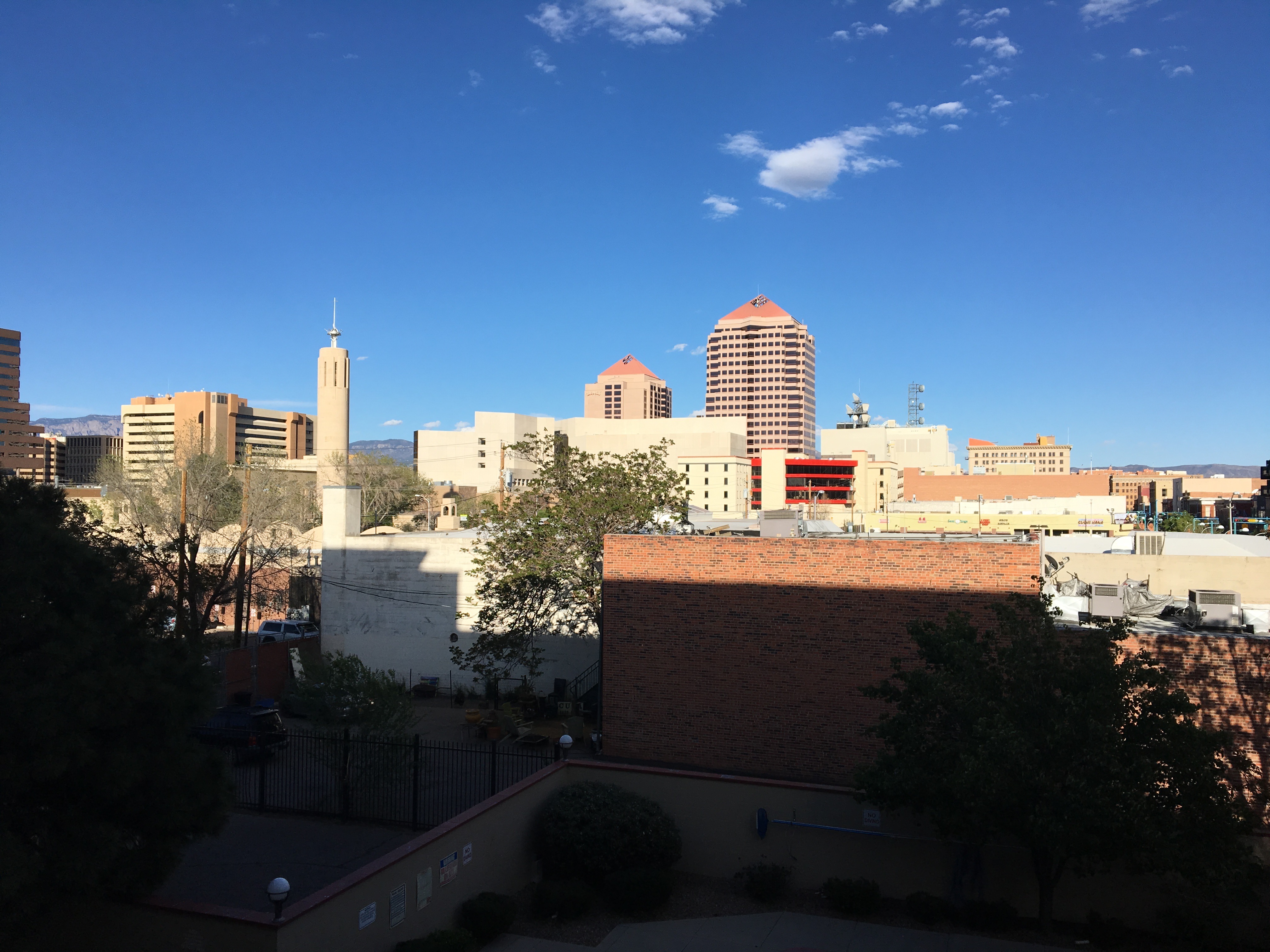


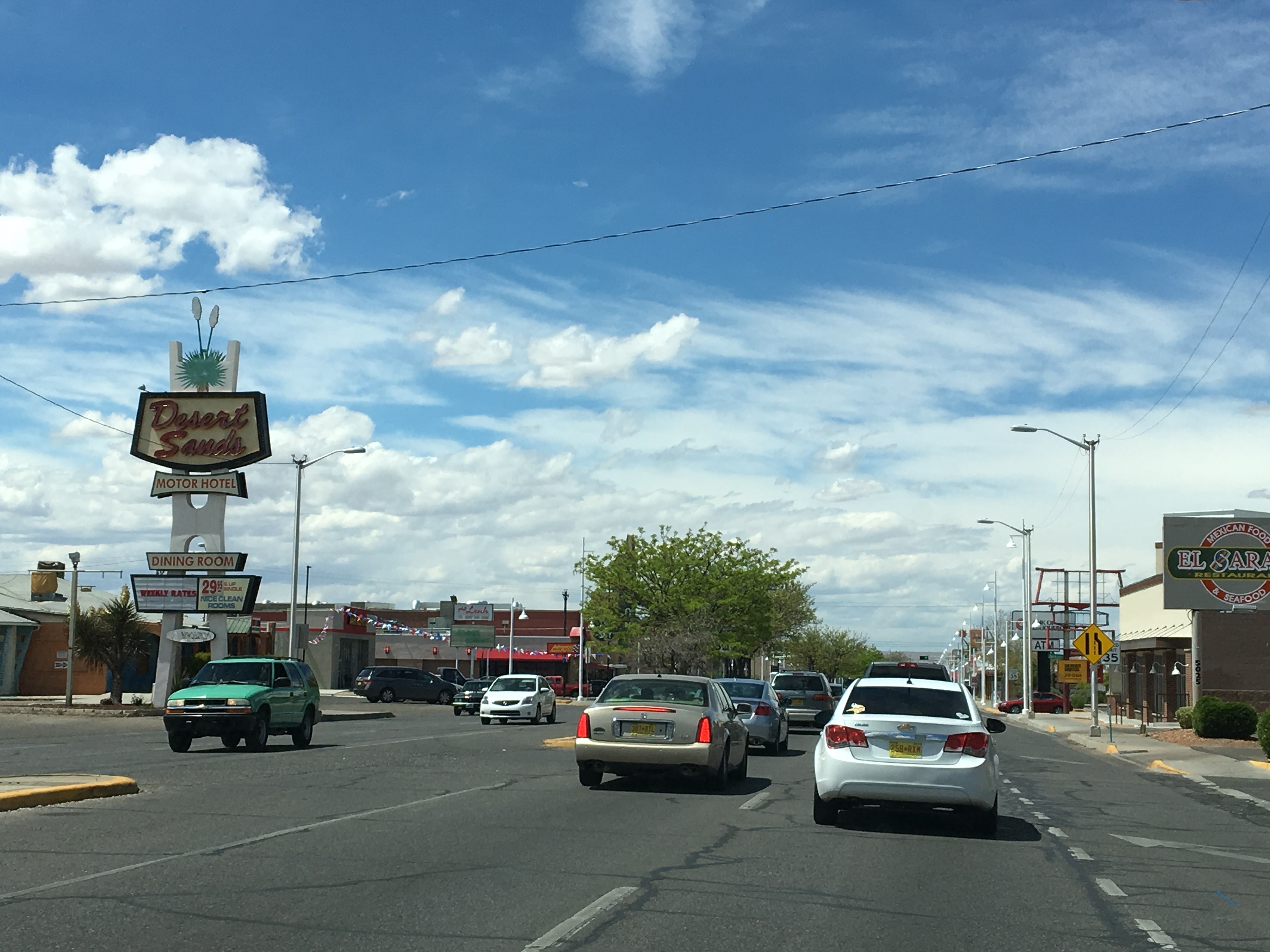


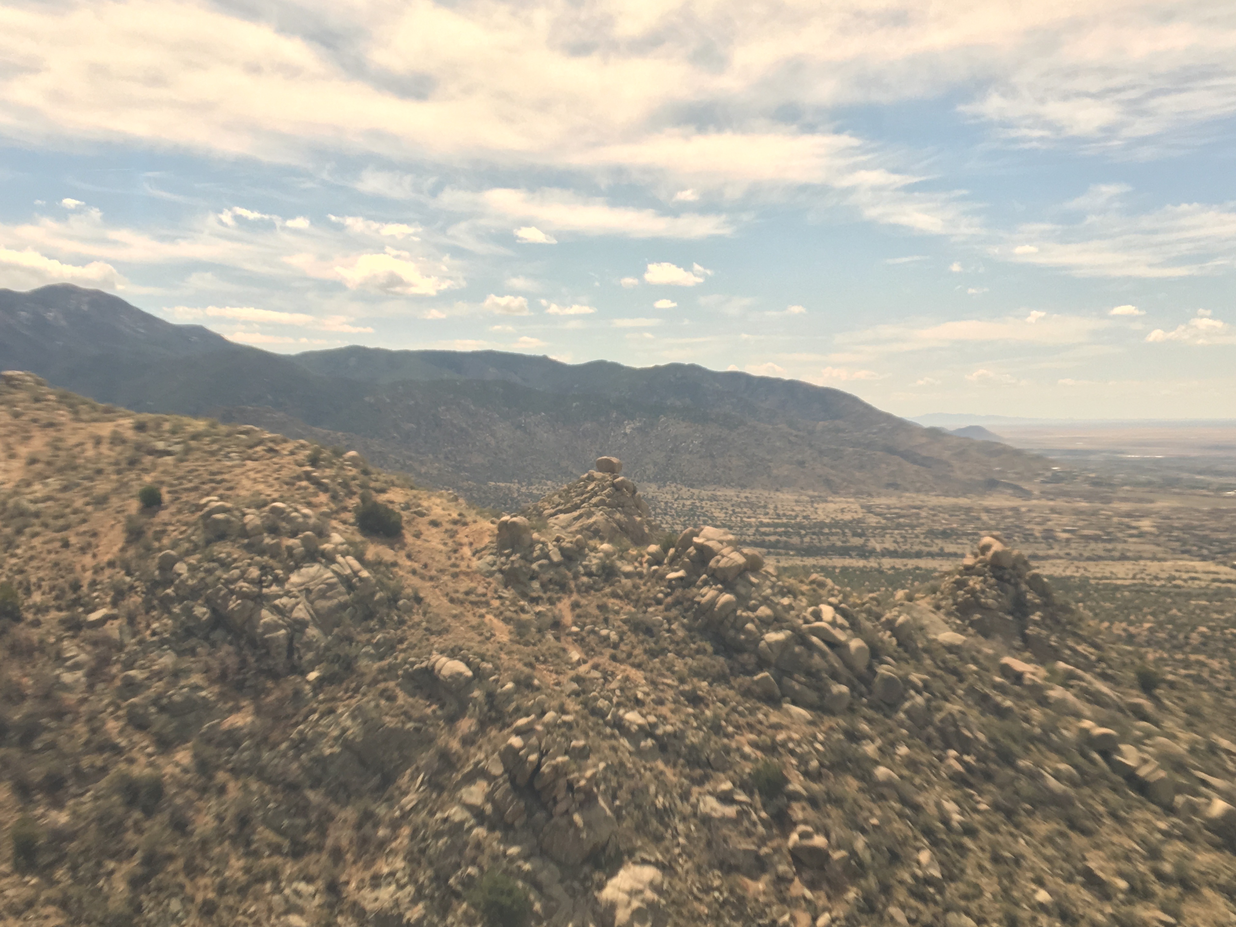


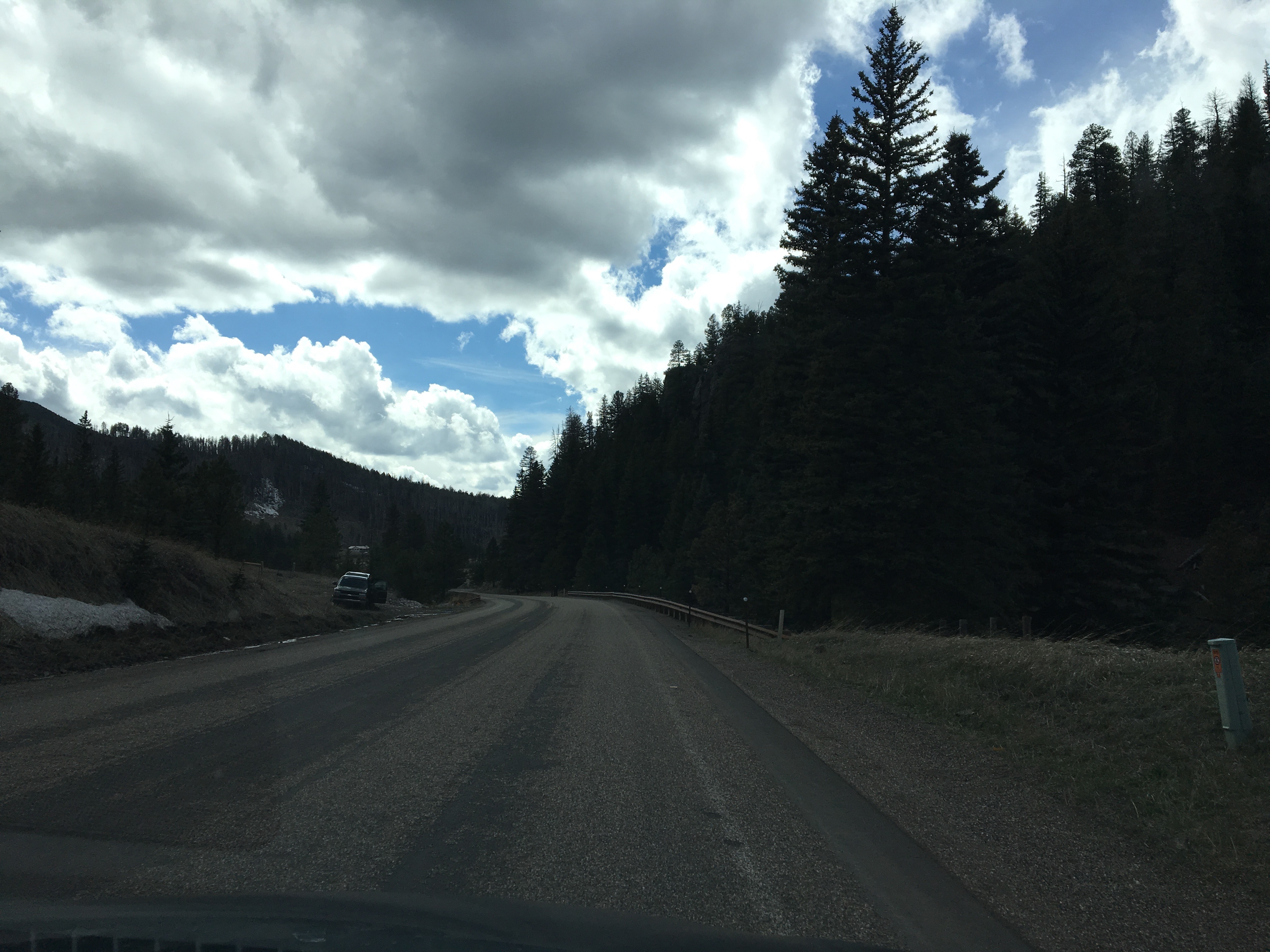
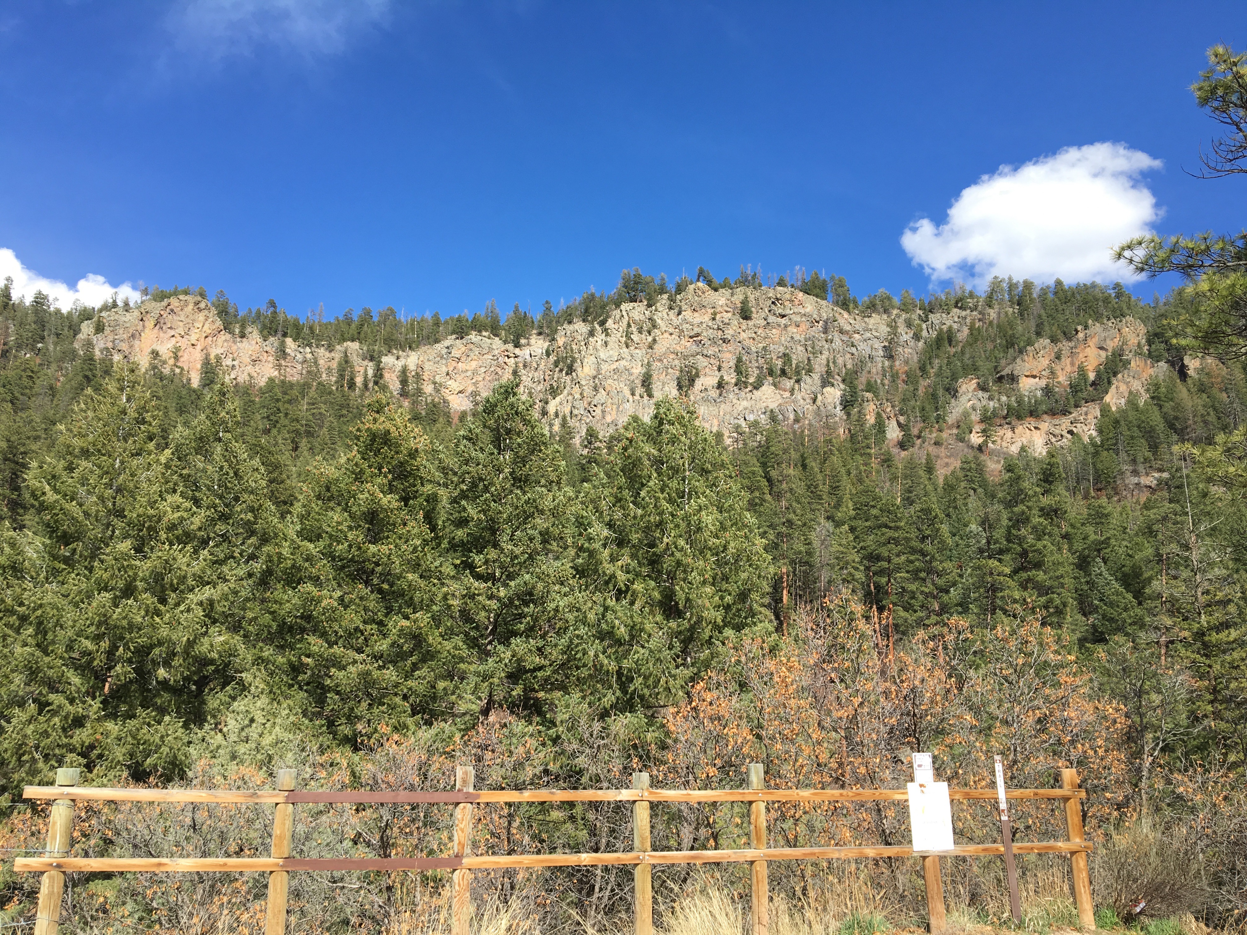
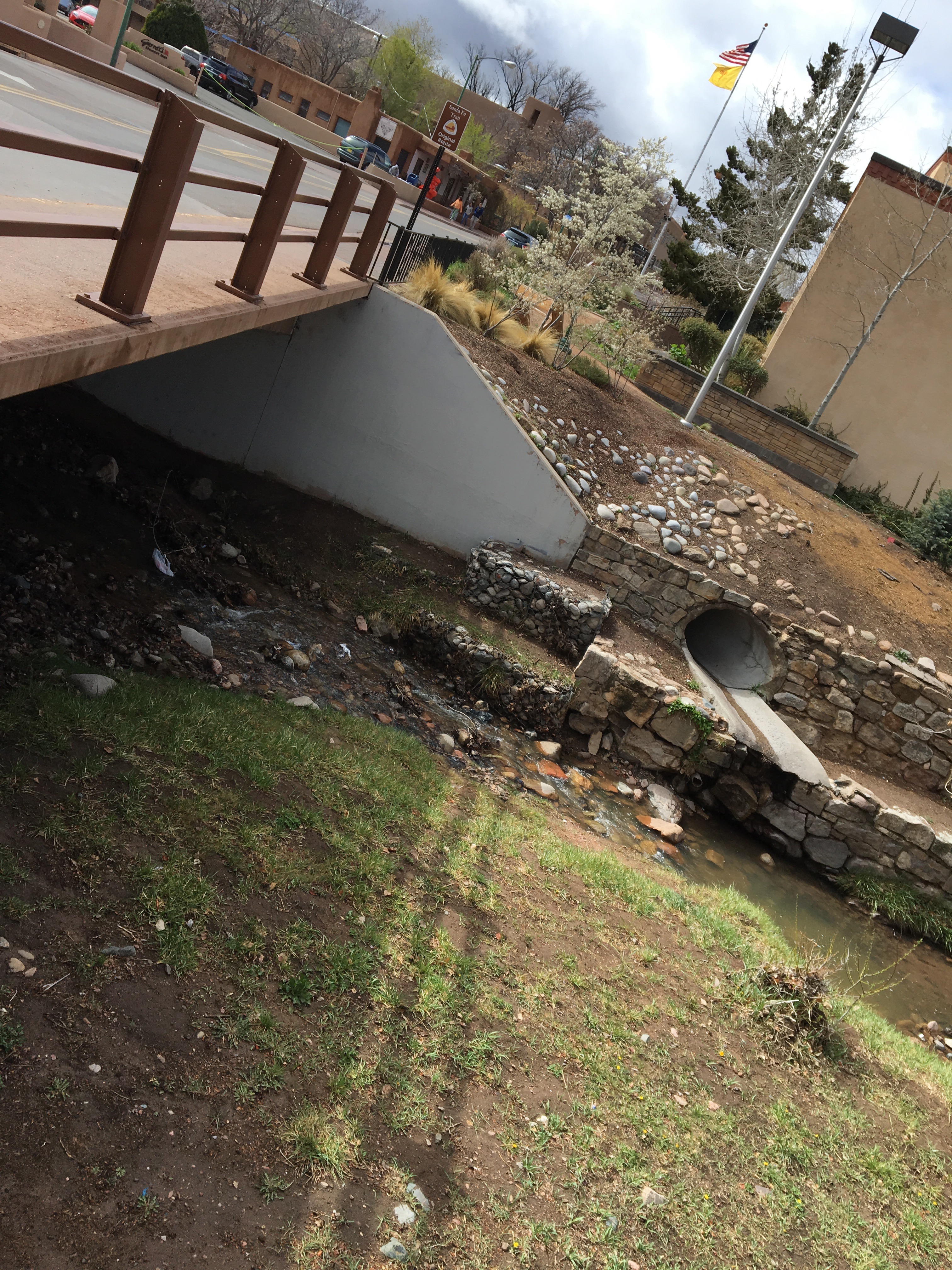
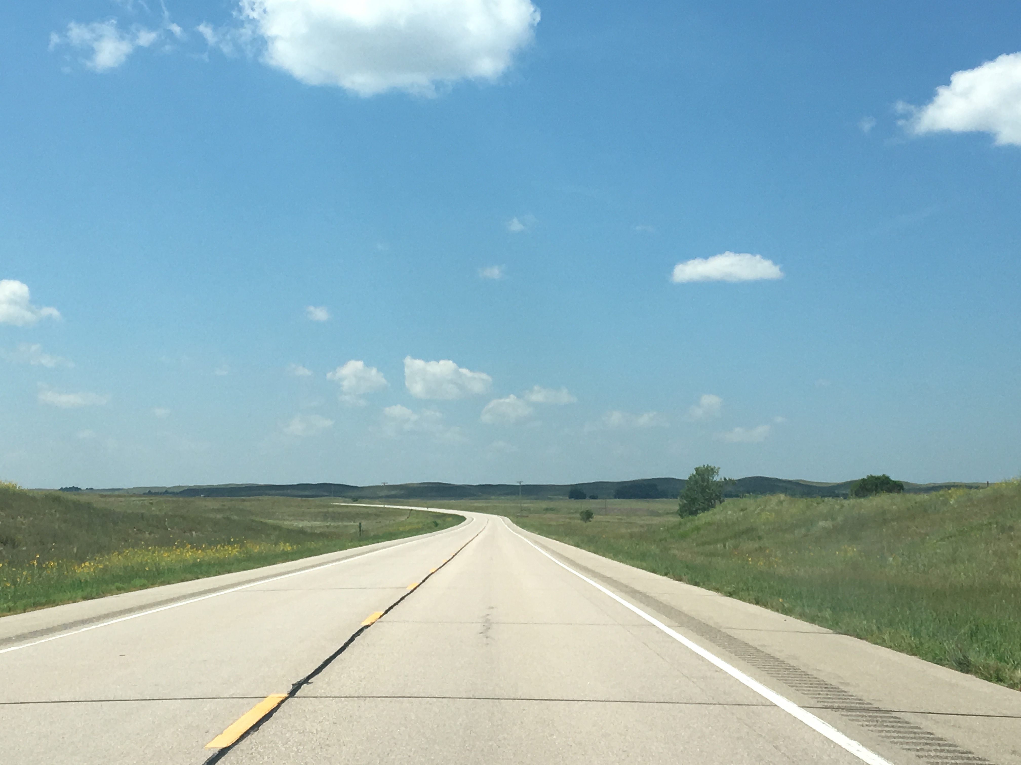
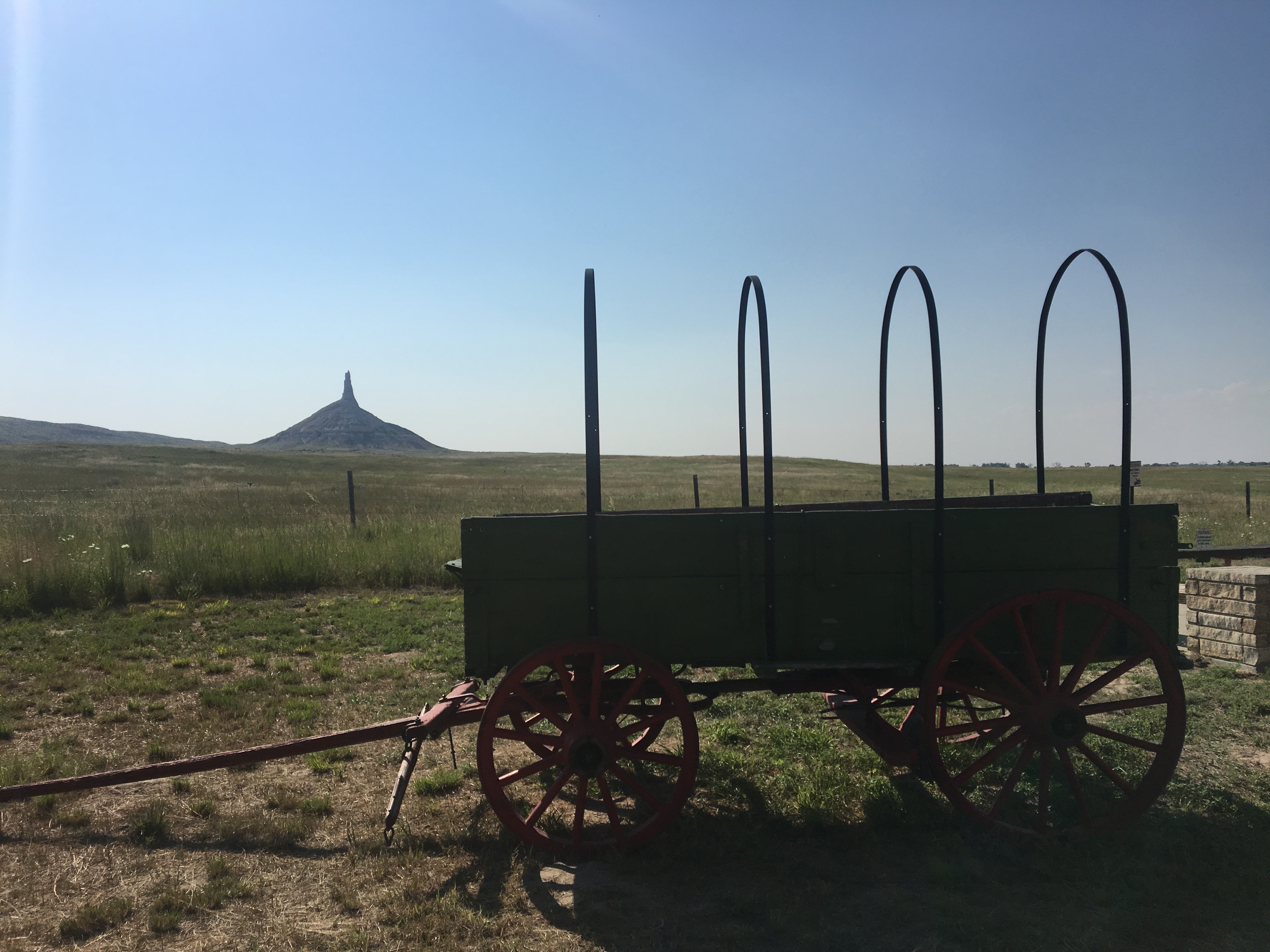
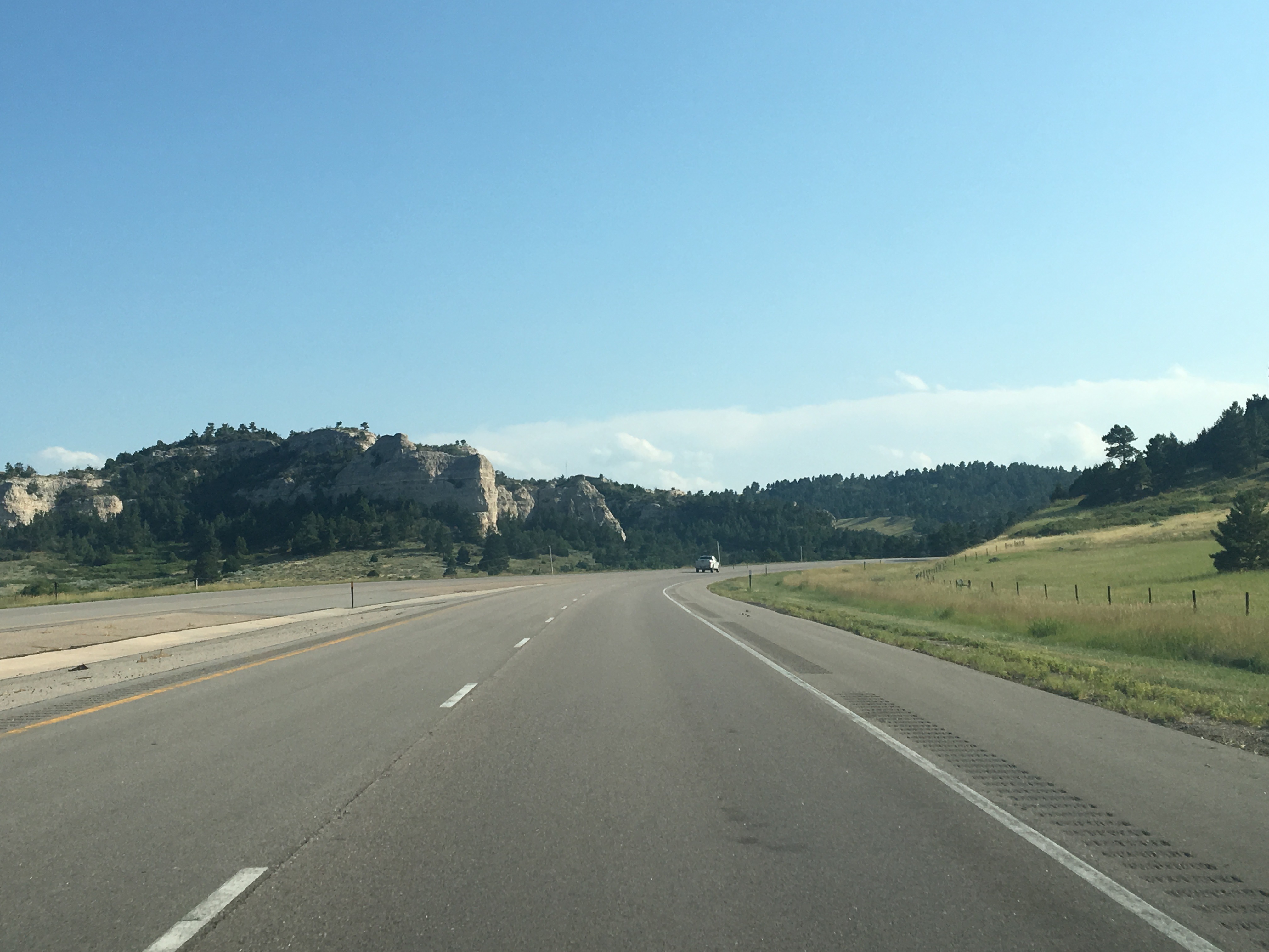
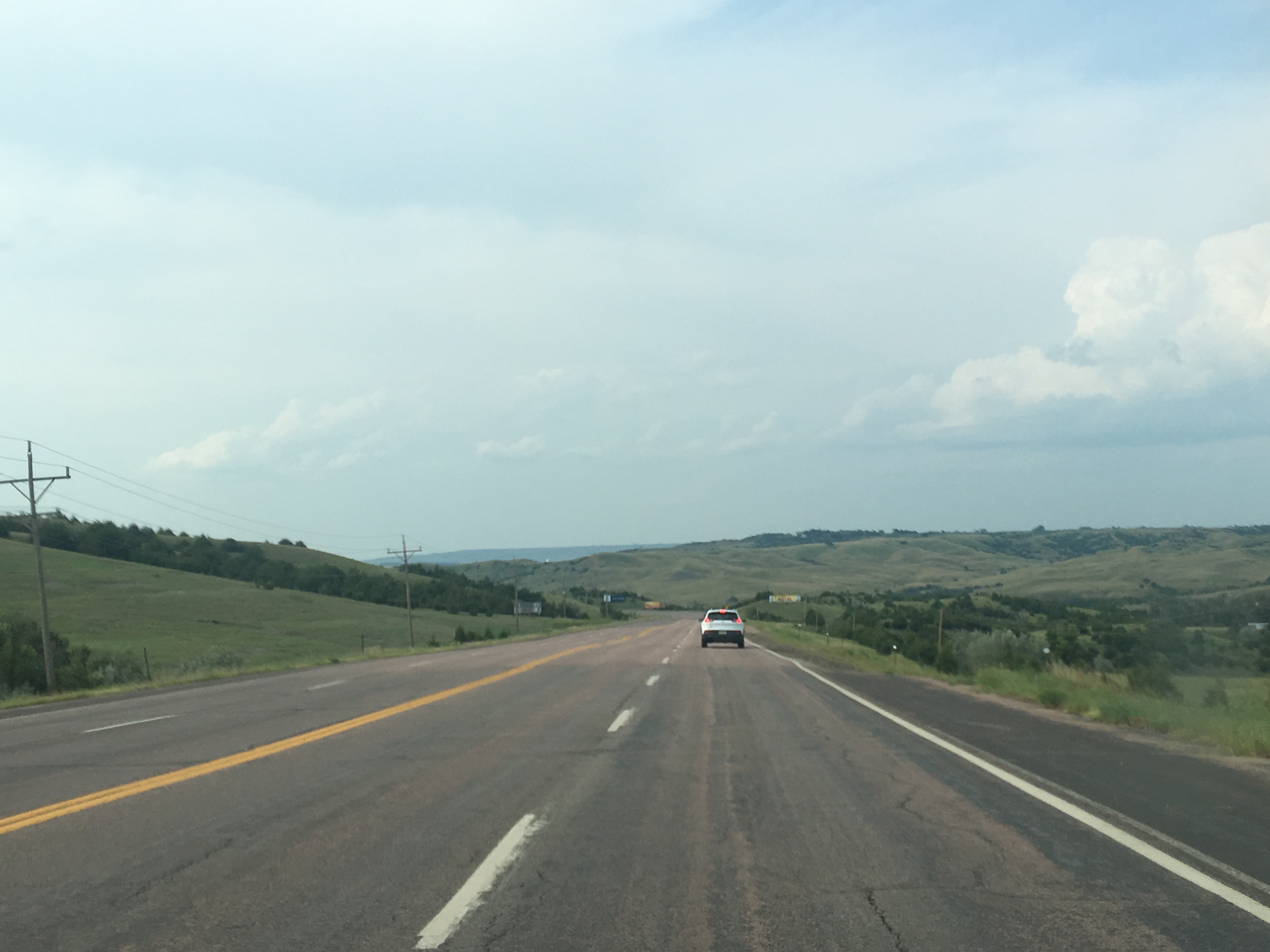
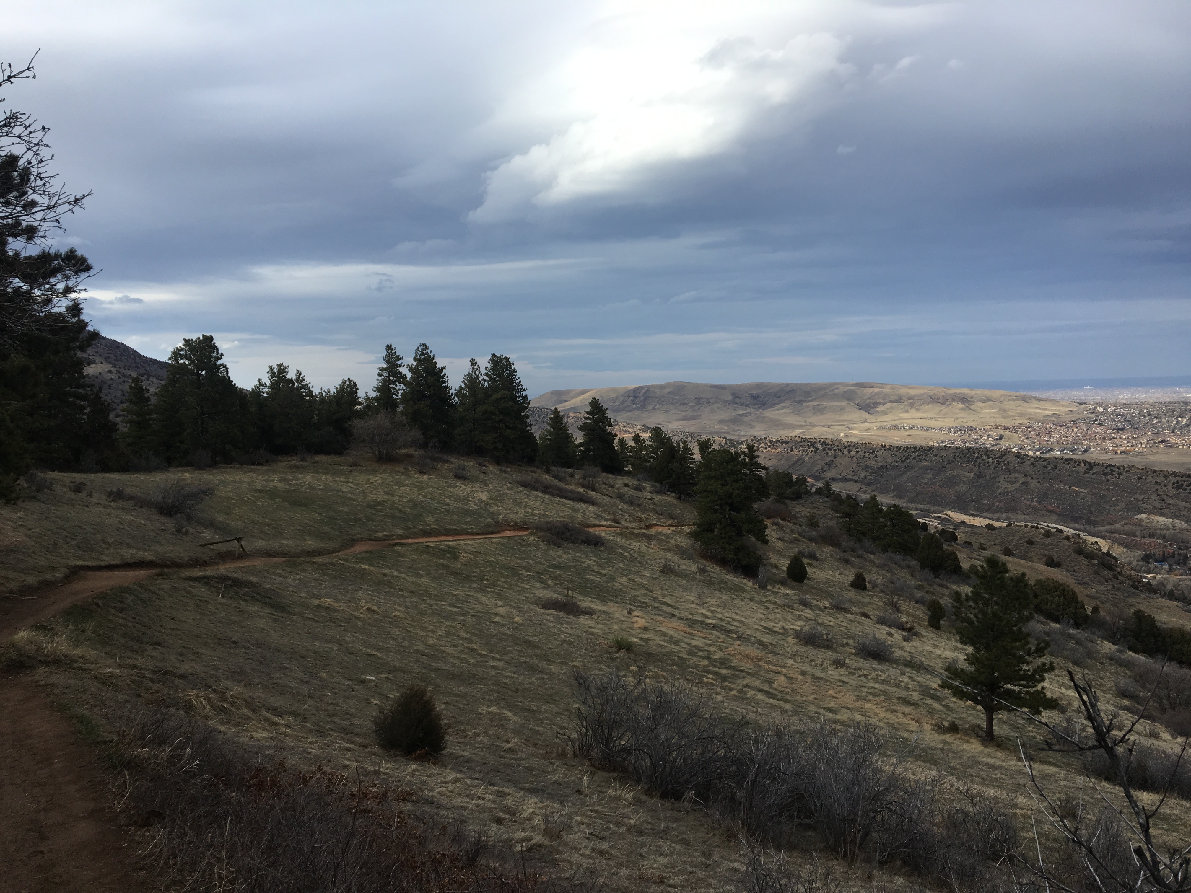
 The northbound journey out of Santa Fe, along highway 84 towards Pojoaque, and Espanola could not possibly feel any more Southwestern. Rolling hills are covered with bushes and sagebrush. There are some trees here, but unlike in the East, their impact on the wide open landscape is minimal. They are but mere dots, small points in a panoramic image that shows off the entirety of the landscape of the region, stretching for miles and miles. As a consequence, mountain ranges can be seen in the distance in multiple directions.