Tag Archives: Road Trip

My Thoughts on Turnpikes

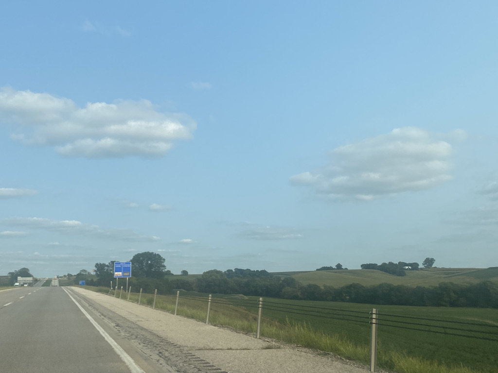
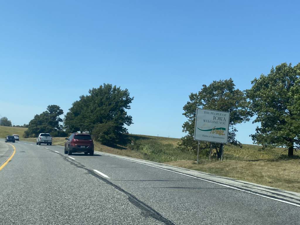
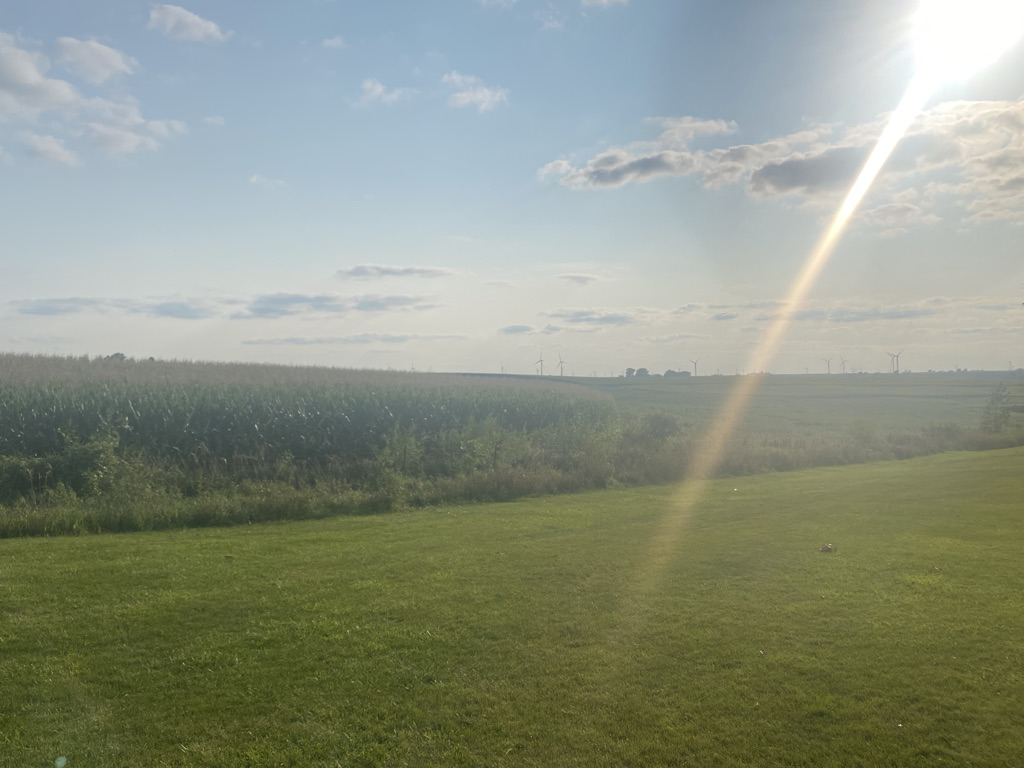
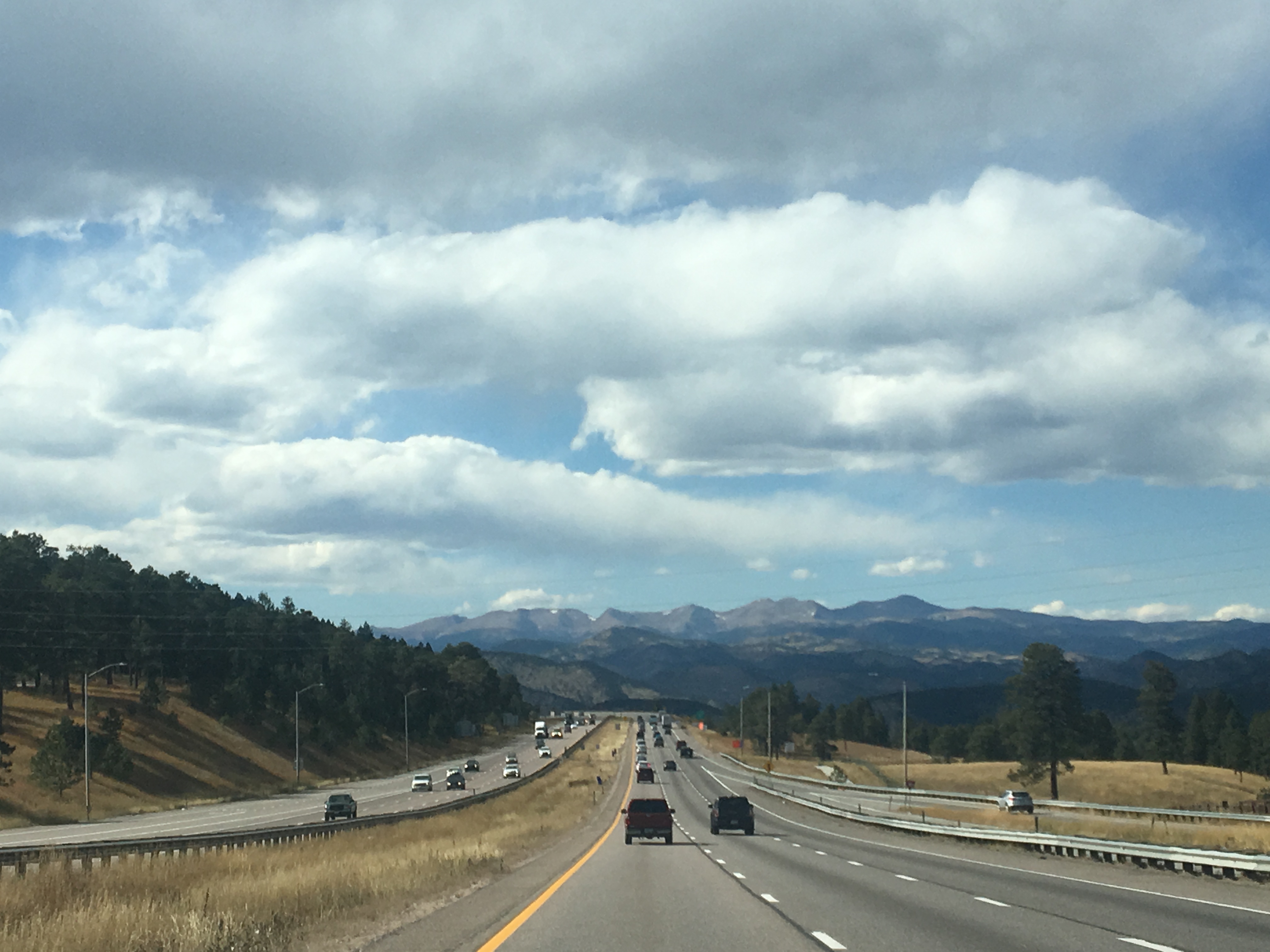
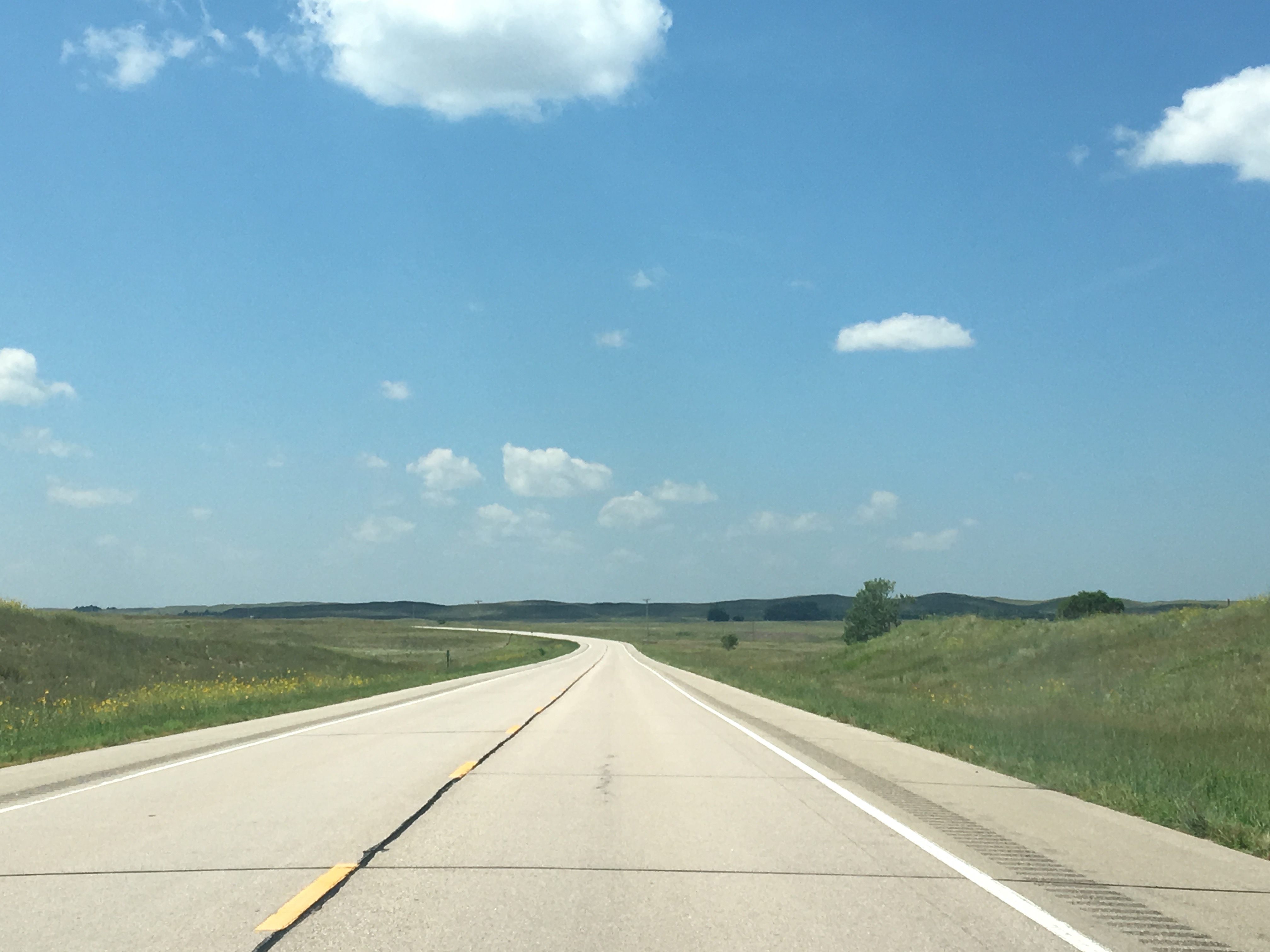
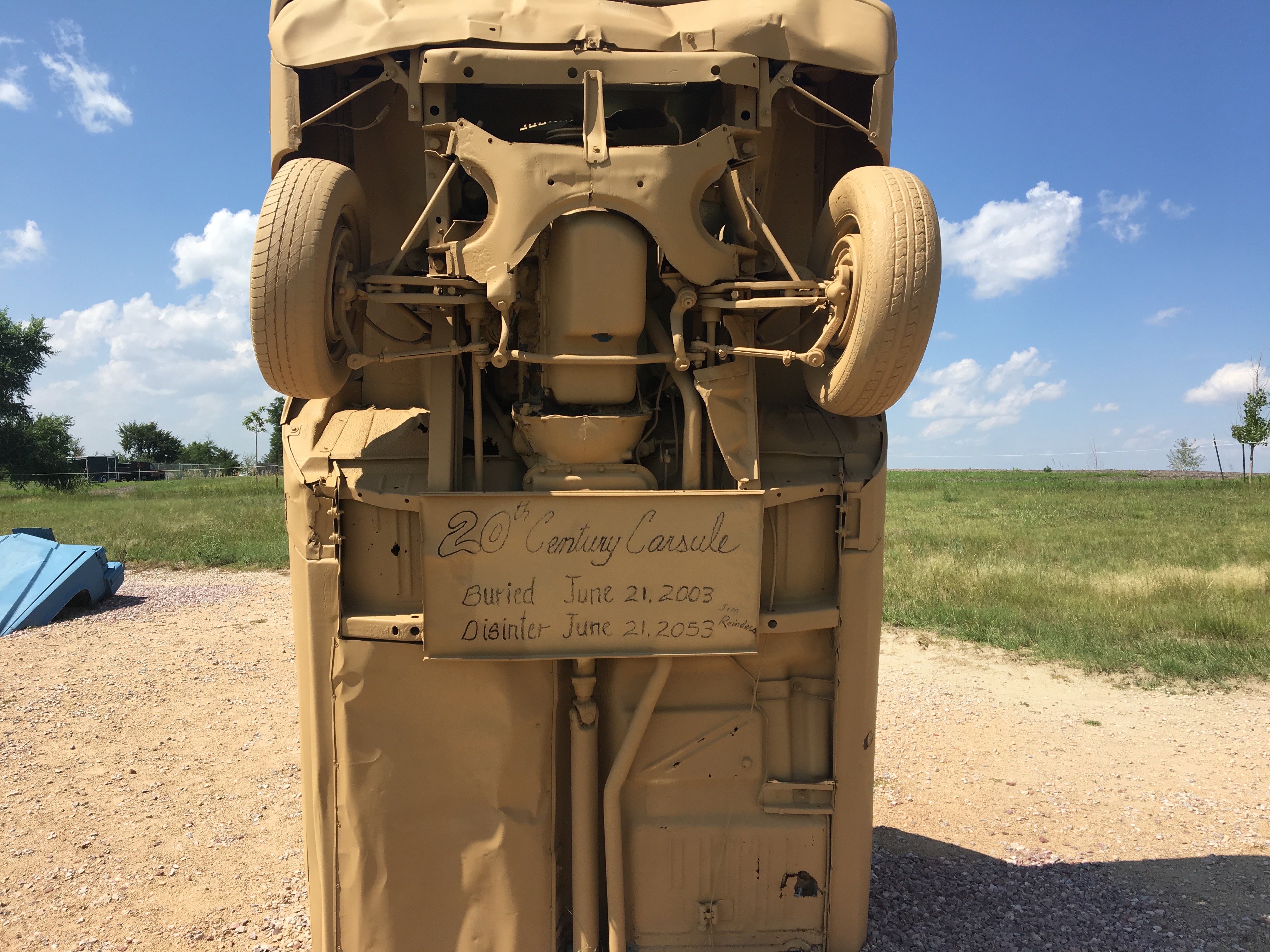
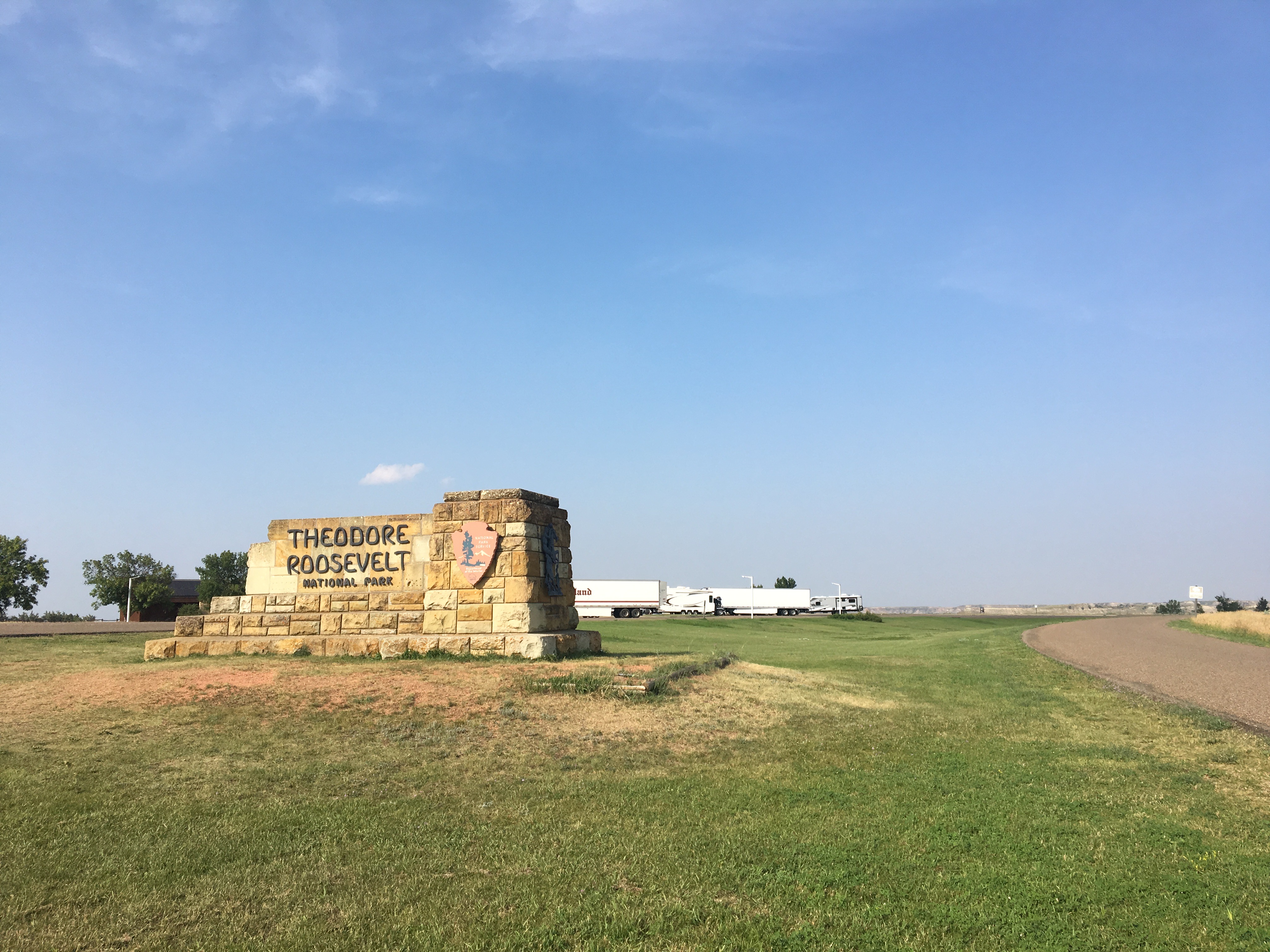
The Indiana Toll Road and Ohio Turnpike are not the most exciting of journeys. Much of the area looks exactly the same. The terrain is quite flat. There is corn and soy everywhere. The road connects a series of medium sized cities, coming close enough to efficiently connect them without actually passing through them. It is a form of transportation that maximizes one thing and one thing only: temporal efficiency.

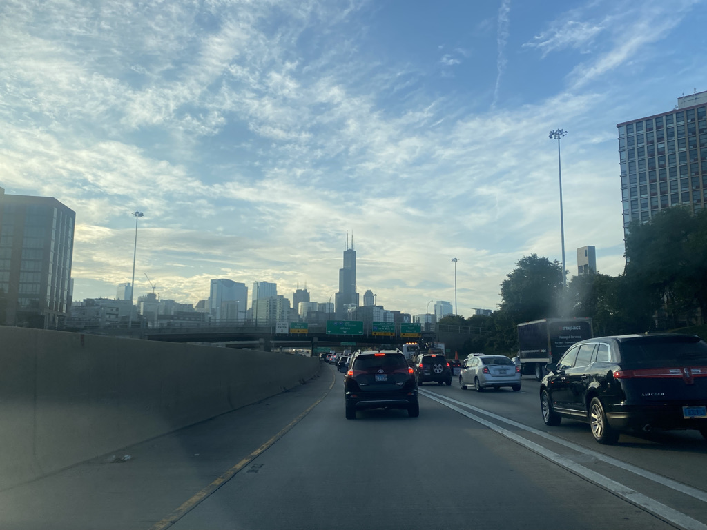
In the Midwest, all roads start and end in Chicago. It took me a while to realize that, while Chicago is right in the middle of the region known as the Midwest, and is its unofficial capital, Chicago is really nothing like the rest of the Midwest. It is a big international city. It moves at a pace that is closer to that of other large cities than the rest of the Midwest.

Once someone leaves the greater Chicago area, they are likely to encounter a completely different mentality and a completely different way of life.

Chicago also kind of divides the Midwest. There are some subtle differences between what lies to the West of Chicago and what lies to the East. These subtle difference are probably only commonly thought of by those of us who have lived in the Midwest and those of us who have driven across the entire region and had time to observe it.

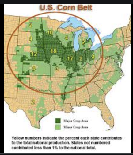
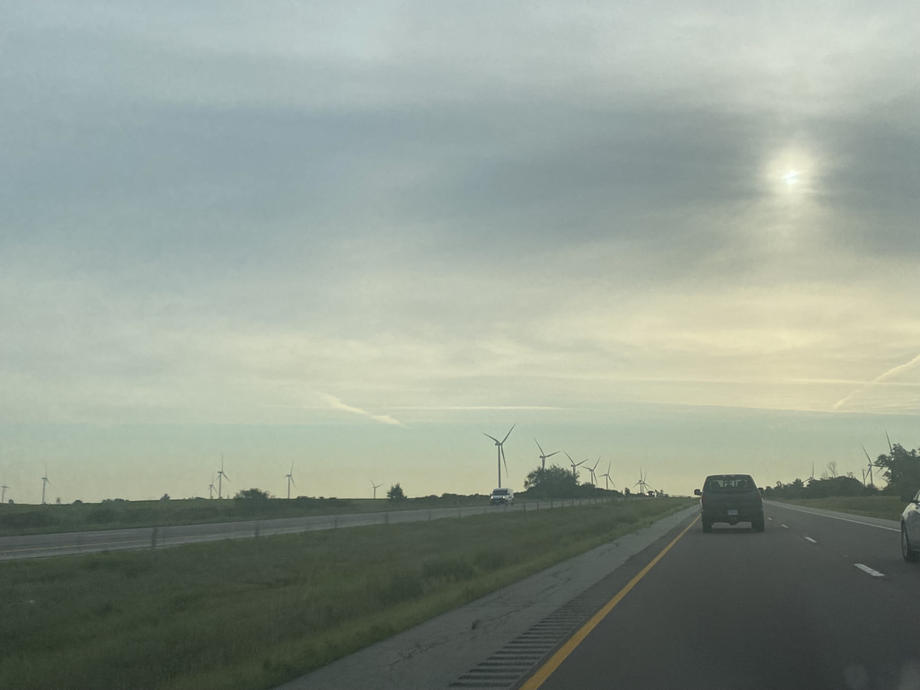
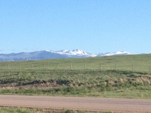
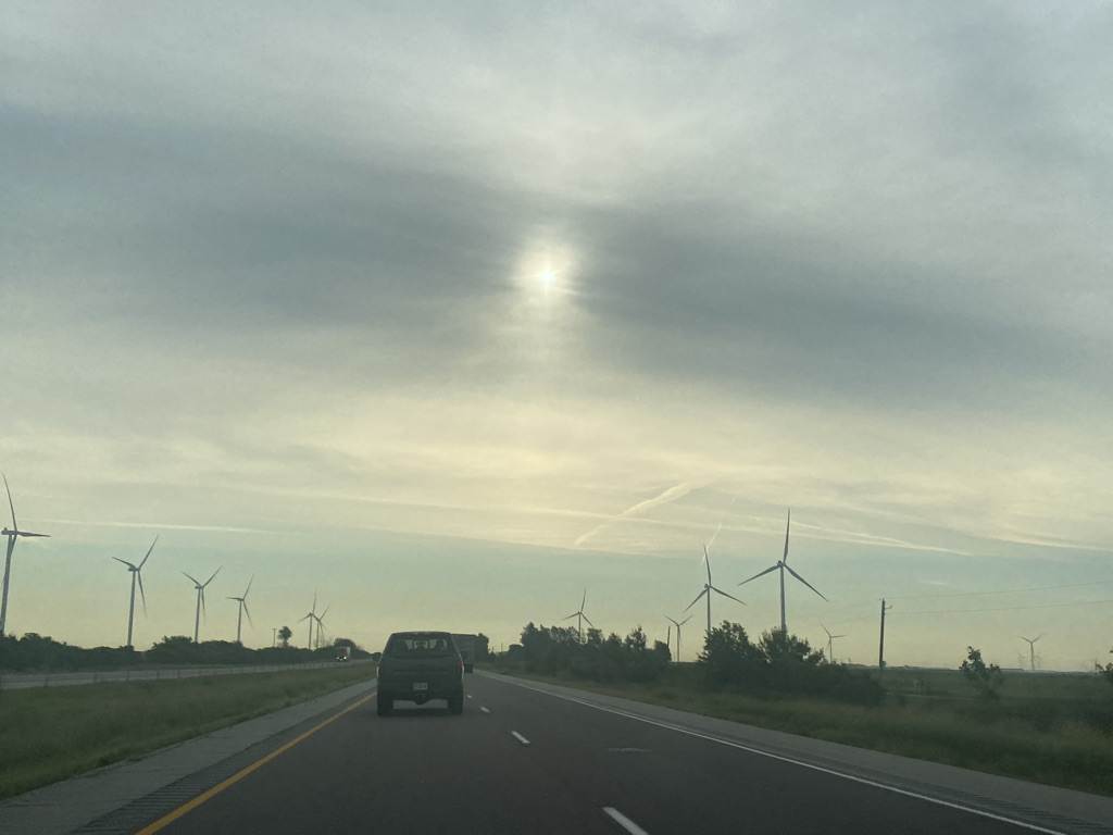
While there are farms everywhere in the region, the Western part of the region, West of Chicago seems to be built more around farmland. They have leveled enough trees to increase surface wind speeds (dense forests tend to reduce surface wind speeds) enough to make it a good place to build wind farms. The economies of many of the medium sized cities in this region are centered around farming equipment,

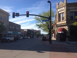
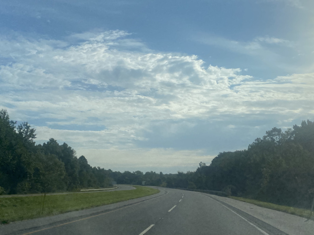
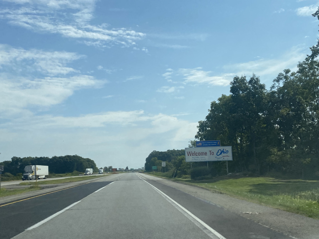
East of Chicago, trees are more plentiful. Medium sized cities here are a bit more frequent and they have more of a “rust belt” feel.

Cities here tend to have nicknames around what product are manufactured here…

  • Gary the Steel City
  • South Bend the Wagon City
  • Elkhart the RV Capitol of the World
  • Toledo the Glass City
  • Akron the Rubber City

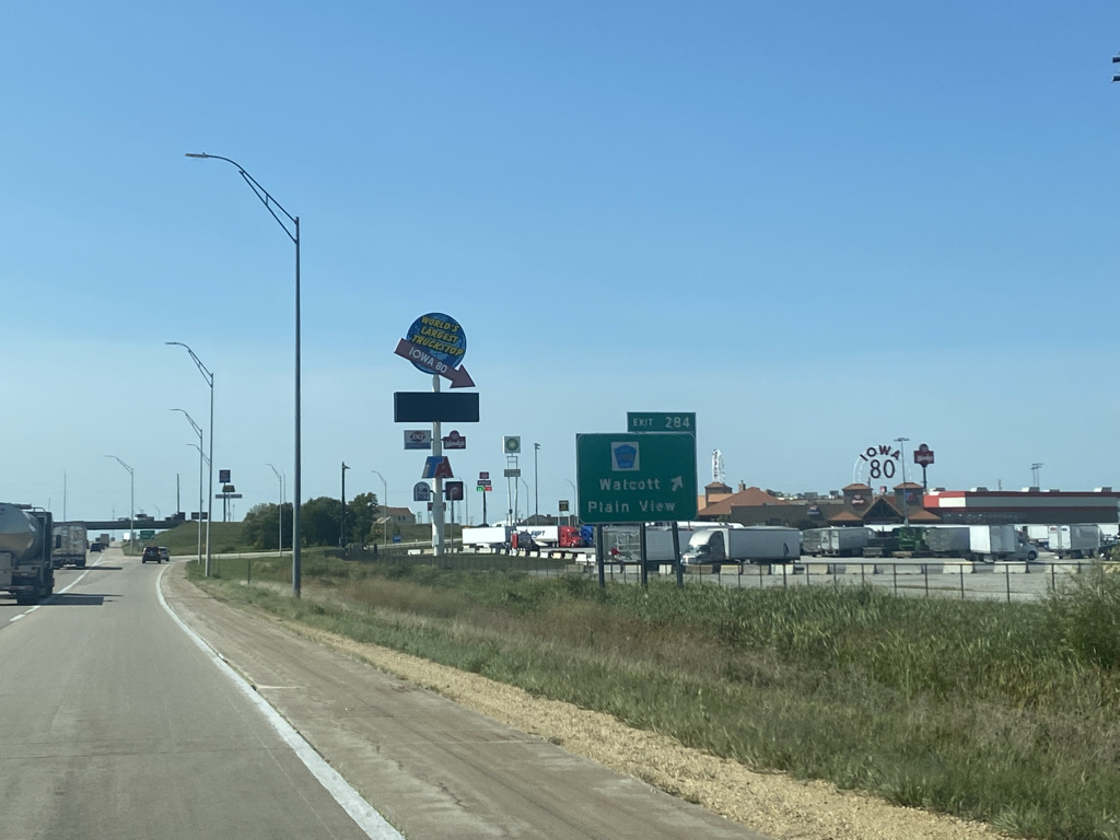
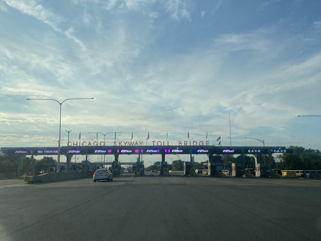
As is the case with the subtle but noticeable difference between the region to the West and the region to the East of Chicago, there is also a subtle but noticeable difference between driving on turnpikes and driving on other highways.

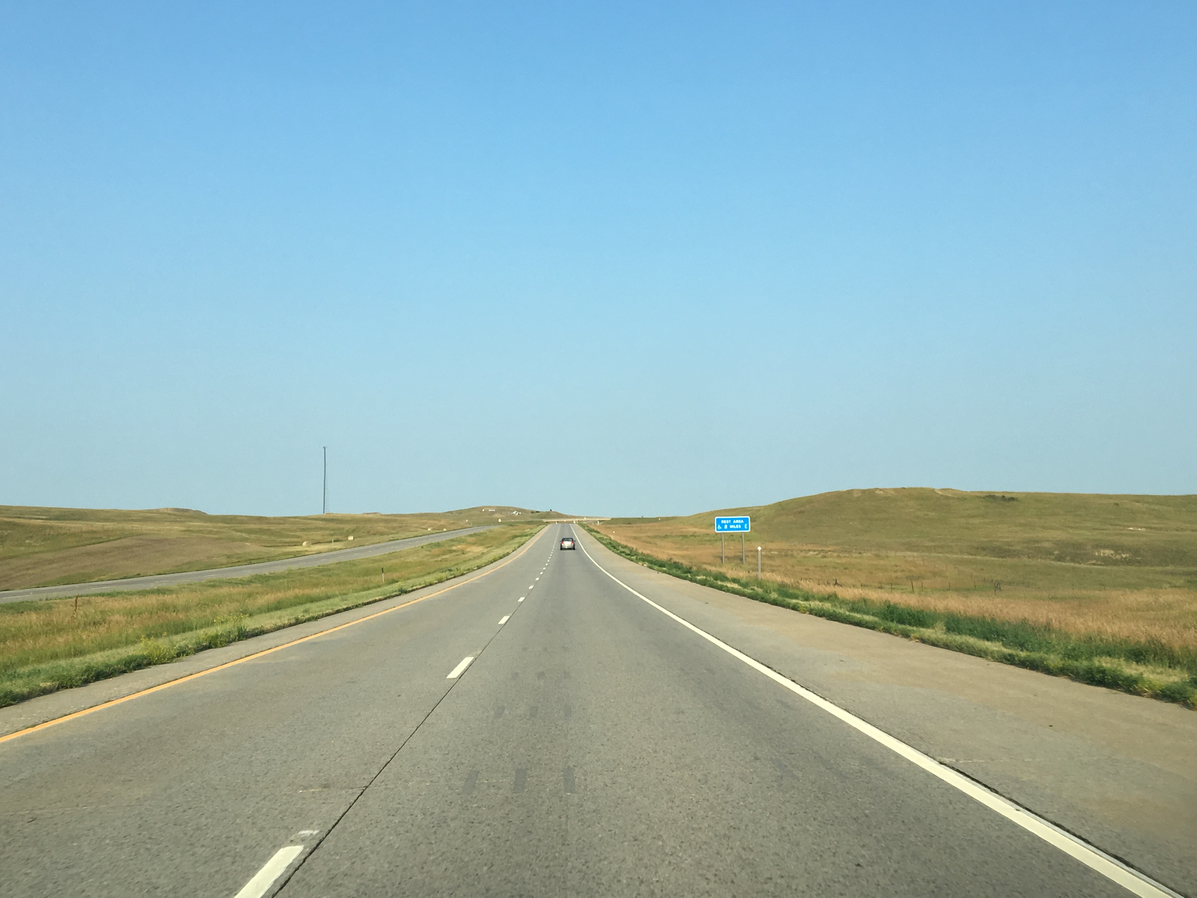
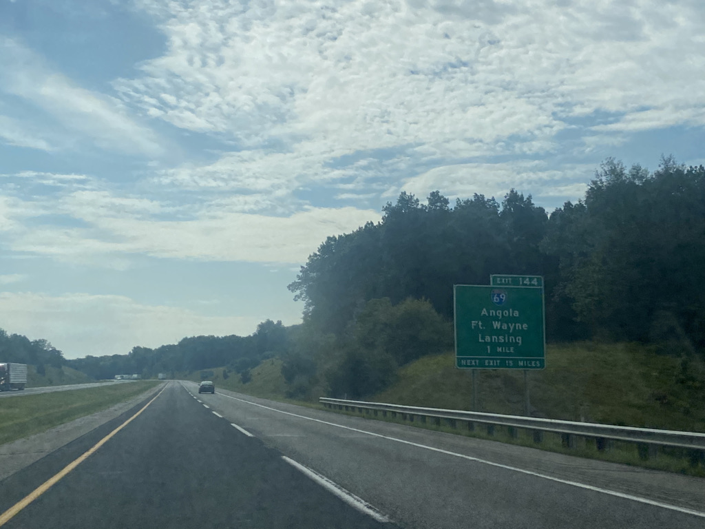
Turnpikes tend to have elaborate exit ramps to facilitate toll collection. As a result, exits are often quite far apart.

Two things happen. First, rather than pulling off at an exit to stop for gas, restrooms and food, it ends up being more common to stop at rest areas.

As homogenized as standard highway driving is compared with traveling on roads that go through the center of town, turnpike driving is even more homogenous. All of the rest areas on the Ohio Turnpike look exactly the same and many of them have the exact same food options.

Also, with the exits fewer and father between, it becomes far less likely that drivers will follow the most direct path from their origin to their destination. Getting to a location is more about finding the nearest exit than the series of roads that provide the most direct path.

Turnpike driving maximizes temporal efficiency, but it is not my favorite method of transportation.

When traveling from place to place, sometimes there are things more important than getting to a destination as quick as possible. There are places to experience along the way. The experience of traveling along the Indiana Toll Road and Ohio Turnpike is a reminder of what we lose out on when we focus on one metric and one metric only, in this case temporal efficiency. While South Bend, Elkhart, Toledo and Sandusky will not top anyone’s list of top vacation destinations, whizzing by them from 10-20 miles away on a homogenous turnpike still feels like missing out on something that has the potential to be a worthwhile experience.

Reflection on Iowa

After yet another drive across the State

In my younger years, my experiences with the State of Iowa were not always positive. One time, I was at a conference in downtown Des Moines and found it surprisingly challenging to find a suitable place to eat. When I was 21, I visited Ames. I recall taking a series of shots, one green, followed by a yellow one and then a red one. I believe the tradition is called the “stoplight.” Energized by these shots along with my then usual rum and coke I was ready to let loose. I asked “what are we doing”. The response was “sitt’n and drinking.” The 21 year old version of me, always looking for more activities, found this absolutely ludicrous.

Iowa is primarily known for corn. It’s the top producer of corn and the only state that lies completely within what is known as the “corn belt”. The fact that those who drive across the state see nothing but corn was even the subject of a funny song that barely lasts half a minute.

The drive across the state can be pretty monotonous, especially considering that Interstate 80, the highway most people use to cross the state, does not even go through the center of the towns it connects.

It is all pretty much the same thing, gentle rolling hills, farms, small towns, and, yes, tons and tons of corn fields. After a while I start to imagine what life is like here. What do people do on a day-to-day basis? What are the interesting and exciting activities? What worries them?

Was I only demanding these perfect restaurants in downtown Des Moines because I have become so accustomed to having so many options where I am from? Why is “sitting and drinking” not good enough for me? What am I chasing and is it making me happy?

It is easy to imagine life in Iowa being a kind of beautiful simplicity.

There are certainly uglier things to look at than corn fields kissed by the sun in the early evening hours on a late summer’s day.

Maybe what I dismiss as boring is a life that is actually satisfying to millions of people. Maybe the farmers across the state feel a sense of pride in growing the corn that feeds the nation’s cows that feed the nation’s people. Maybe people here love their communities. Maybe they love seeing people they know, deeply and personally, every time they go to their local grocery store or their local restaurants. Maybe they go over to each other’s houses and just play games. They could even enjoy just feeling the fresh air and watching the corn stalks sway in the wind.

Maybe that experience provides a deeper sense of satisfaction than having all the fancy items in the grocery store and five star restaurants with exotic food. Could it be that we are chasing the wrong things? I think to my own life and how happy all the expensive things we are all working so hard to be able to afford are really making us. Is it worth the stress?

While I still don’t imagine myself being happy living in Iowa, the realization that there are people happy here does make me re-evaluate my own life. There is a part of me that is always striving for more. The world, of course, needs people like this, to consistently move humanity forward. However, there is also a part of me that gets excited over some of life’s more simple pleasures.

The world’s largest truckstop, in Iowa

Crossing Iowa, looking upon all the small towns and farms and imagining people who are perfectly content here inspires me to be present, pay attention and notice these small goofy things that make me happy. Sometimes in life that is all we have.

Northern Arizona 1000 Years Ago

When we think about remnants of ancient civilizations, we often think of places like Egypt, Greece or Italy. Athens, Cairo and Rome are certainly places people visit for the primary purpose of observing and learning about history. However, one thing I learned about travel, generally speaking, is that history is all around us. Evidence of historical events, both the human and natural kind, can be found almost everywhere, and sometimes in some unexpected places.

Wupatki National Monument sits about 30 miles north of Flagstaff and is easily accessible via U.S. highway 89. Those traveling through the area can visit the remnants of several abandoned pueblos, as well as sunset crater, the site of a volcanic eruption, on a convenient 36 mile scenic drive.

In the 11th, 12th and early 13th centuries, the region around the present day four corners was home to one of the most advanced civilizations in North America north of the Aztec Empire.

They had houses large and small.

They even had buildings that would serve the equivalent function to the larger buildings we have in urban areas today.

Recent evidence indicates that the population of the continent before Columbus’s arrival was likely much higher than we had originally thought. Before the pueblos were abandoned and subject to 700 years of weathering, these building were certainly more densely packed together than they appear today. Archeologists and historians are still debating why the settlements here and in other nearby places were just abandoned. It is likely that a combination of drought and over-hunting made the region no longer ideal for civilization at the time. Looking out upon them and imagining this past, it becomes possible to speculate about people’s lives at the time.

Some things were certainly different from our lives today. For example, they did not have the means to travel long distances, as horses would be introduced by the Spanish centuries later. So, there were few journeys or adventures. However, based on human nature, there was certainly the friendships, conflicts, drama, power struggles, rivalries, parties, shared experiences and accomplishments that go along with life in towns and cities.

There were definitely events, one of which is evidenced by Sunset Crater Volcano National Monument on the same scenic drive

Evidence points to this volcano erupting in the later half of the 11th century. The eruption was seen by Anasazi and Sinagua inhabitants of the region. They probably talked about it for years, possibly even the entire two-ish centuries between the eruption and their mysterious departure from the region.

The volcanic eruptions changed the landscape of the area in ways that can still be seen today. Slopes in the area still appear black from the ash that followed the eruption.

Scientists can identify the minerals deposited on the rocks in the area.

These minerals likely altered the manner in which the Anasazi and Sinagua people farmed the area when they lived in these pueblos.

I began to wonder what other records, knowledge and traditions were lost when these civilizations collapsed. Could they have had scientific knowledge that we will never benefit from? Did they have philosophical ideas worthy of our consideration? Is there a history we could be learning from?

Sometimes it feels like we fail to consider the history of a place before “our” involvement- before we arrived. What event constitutes “our” arrival is open to debate. Regardless, “our” involvement in the North American continent spans between 150 and just over 500 years out of a history that goes back at least 13,000. What happened on this continent before Columbus arrived certainly impacts our lives today.

Even if we talk about the course of events on the scale of our individual lives, the same bias often surfaces. We’ll move to a city and learn what highways jam up at what hours of the day, what restaurants to go to, etc. But, what about the city a few decades ago? There is often a reason, based on the migration of people, why the best Italian restaurants are in one neighborhood and the best Chinese ones are in another.

As I took a deep breath and gazed out into the open sky I thought about a phenomenon I had first thought of nearly 20 years ago. Right now, there is something happening, in another town, involving people I do not know yet, that will have a significant impact on my life. The same can be said for anyone else, including anyone reading this entry.

The Best of Southeast Utah

Monument Valley from 2 miles south

Monument Valley is the quintessential image associated with The American West. Perhaps because of how frequently it has appeared in films, particularly westerns, it is quite difficult to look at this grouping of red rock formations without imagining cowboys riding horses across the landscape.

Despite the fact that the natural processes associated with its formation are culturally agnostic, and the fact that the monument sits on the Navajo Indian Reservation, these rocks have become forever associated with the culture of the American West. The fact that the first music video that pops into my head when I think of Monument Valley is by a German Band, the Scorpions, does not even seem to temper that association. Every American hard rock song feels like it fits in perfectly with this landscape.

Speaking of the landscape, Monument Valley is one of those places with a command of the landscape for miles away. Particularly approaching from the north (or northeast as that is where the highways are), it can be seen from some 50 miles away.

The interesting thing about Monument Valley is how different it can appear on either side of the monument. In the afternoon, the north (northeast) side has a much different appearance than the view from the south, which represents the standard iconic view of the feature, with the sun shining on it.

How this specific iconic set of rocks became associate with 19th century American pioneers on horseback, and the enduring culture and ethos of the Interior American West is probably a challenging question to answer. Yet, it is most certainly the repetition of this association throughout culture and media that makes people living some half a century or more after all of these films were produced continue to feel a certain feeling when they gaze upon this monument. It is hard to imagine a better example of how repetition creates and perpetuates and association than this one. I am truly curious about what the Navajo Nation thinks of it.

The strange thing is that this association has lead me to think of gold prospectors, cowboys on horseback, shootouts and such at other places with a similar feel. Like most naturally occurring features, Monument Valley is not the only place where the natural processes that created these features occured.

The rock formations about 160 miles to the Northeast, outside of Moab, Utah, take on a very similar feel. It almost feels as if any movie or music video filmed at Monument Valley could have just as easily been filmed here to the same effect.

It would be a huge missed opportunity to visit Monument Valley without also visiting Goosenecks State Park, only about 30 miles away.

This is another spot that is photographed quite frequently. Unlike Monument Valley, it seems to have a stronger association with that which is current about the American West; tourism, outdoor adventures, and, of course, the search for the perfect instagram photo.

Visitors to the park can also see Monument Valley from a distance.

I had previously visited Arches National Park, traveling to the most iconic of the arches.

On that trip, I had failed to realize that just a half an hour south on highway 191, it is possible to see one of these arches without ever leaving the highway.

Like any other place in the West, Southeast Utah has places that are underrated, not trying to be noticed.

And places trying to get people to stop that don’t make much sense.

It’s unique natural features connect the past to the present, activate the imagination and provide experiences that are indicative of Western North America as a whole, yet unique to the specific location.

The Calm Before the Storm

91A9039D-4C79-45E4-812E-E3928B88931A.jpeg

This is Guanella Pass, 11,700 feet (3570 m) above sea level on Wednesday October 9, 2019. It was a warm day, one that almost felt like mid-summer. As can be seen from the photograph, the region had yet to receive a significant snow. On that day, Denver International Airport would reach a high temperature of 83ºF (28ºC). Temperatures were quite pleasant at higher elevations.

However, change was on its way. These photos were taken only several hours before autumn’s fist meaningful push of cold air would arrive in Central Colorado. The next day would see temperatures across the entire region dip below freezing, and snow fall all the way down in Denver.

6A95AF2C-D104-4363-BC26-E1DDF08F99E7.jpeg

Friday morning’s low would reach 9°F (-12°C) in Denver, representing a near record breaking temperature drop.

Thanks to weather models, forecasters saw this dramatic change coming. Most Coloradans were prepared.

CFBE0B4F-A48E-449D-BF4F-A88194318A06.jpeg

Yet, even without computer models to foresee the exact day and exact nature of these changes, it is pretty well understood, especially up in the Rockies, that at this time of year, sooner or later an event like this is bound to happen. This is why many high elevation animals gather food in the second half of the summer and why the tree leaves change colors in the autumn.

Luckily, it was a Wednesday. So, the roads people usually take to go “leaf peeping” weren’t nearly as crowded as they are on weekends.

1163A9B2-5E2C-432F-AA67-6DA40ABCCD95.jpeg

Guanella Pass is amazing in autumn. Being only 50 miles from Denver, it is typically far more crowded on weekends at this time of year.

7E0D4CB5-AB2A-43B3-99A7-439119D5FE99.jpeg

I often get carried away with getting to that perfect location, many miles out of the way where the image, the sounds, smells and conditions are perfect!

2CC765D1-907C-44B7-BCCC-90203D52B37F.jpeg

However, that day I noticed that it is quite possible to see some spectacular fall colors without even leaving the main roads. I saw bright gold trees along both Interstate 70 and U.S. Highway 285!

A0DDB034-26DE-4170-AA82-E319E6A6F799A9487C64-B667-4D02-8AE3-0627ED62852D

Few places captured the essence of life in the mountains in Autumn better than Georgetown, which is right along I-70.

0BFF00A7-FC21-4DB9-9098-3A56C44EC89A

It was strange to gaze upon the Aspen trees knowing that in less than 12 hours, due to wind and snow, most of the leaves would be gone, and the landscape was about to fundamentally be changed.

Storms are part of the nature of life, not just with respect to weather and seasons. It is the first time we have a crush, and soon after the first time we get our hearts broken. It is the conflicts we have with our family, close friends and significant others. It is that person we just don’t get along with. It is losing a job, getting in an unexpected accident, or even just having a week’s worth of bad luck.

It’s facing our fears, which is what Halloween is really all about.

A17E3021-CDD3-48B5-BCA1-17CED2393EB5.jpeg

In October, the days get darker and chillier, foreshadowing winter, often the most dreaded of the seasons. It is no coincidence that this is the time of year we celebrate all that is spooky; carving spooky designs into pumpkins, dressing in scary costumes and watching scary movies.

Some of life’s “storms” come unexpectedly. However, some are at least somewhat predictable, like the changing of the seasons or a coming breakup. How we respond differs quite a bit from person to person. There are those that prepare, those that embrace, those that deny and those that simply try to weather it as best as possible.

Maybe the same is true of these Aspen trees up in the mountains.

8363BED6-3327-4D95-9B13-2F665E3491C9.jpeg

It was hard for me to imagine why some trees at 9,000 feet (2750m) in elevation would still have green leaves on October 9th. They seemed less prepared. However, maybe they are just enjoying this calm before the storm a bit longer. I can’t say I had not done the same at various points in my life.

The key to facing the storms of our lives is to build up resiliency and self-confidence. This is part of what facing our fears is all about. Once our fears have been faced, we are prepared to have that awkward conversation where we must tell people what they don’t want to hear. We are ready to assert ourselves to obtain what we really want out of life. And, we are ready to deal with setbacks without falling apart.

The confidence not to panic gives us the capacity to enjoy “the calm before the storm” to its fullest extent.


Nebraska Out of the Way Attractions

Smith Falls

IMG_4526

Smith Falls is pretty well hidden from most travelers. It is located in a very sparsely populated section of North Central Nebraska, far away from any heavily traveled interstate highway. It is also in a section of the country where few would expect to see a magnificent waterfall like this one.

Unless you are one of Valentine, Nebraska’s 2,820 residents, getting there is a long drive on empty roads, that even requires four miles on a gravel road off of State Highway 12.

Being so far out of the way of where people live and travel, the Niobrara Canyon, where Smith Falls is located, is quite secluded. The river itself looks nothing like the surrounding areas. The dense tree coverage feels reminiscent of places further East. It feels like the perfect destination for a private group experience; a float trip, family reunion, or some other group bonding experience.

IMG_4521

There does tend to be a few more people at the Falls themselves, as it is the main attraction at the State Park.

IMG_4522

Unlike some trails, visitors can freely walk right into Smith Falls without breaking any kind of rule. Many visitors bring swimsuits, and wear water shoes, as the trail to get from the parking to the falls is not vigorous at all, although it is about half a mile.

IMG_4529

Carhenge

IMG_4542.jpg

Carhenge, just north of Alliance, Nebraska, several hours west of Smith Falls is also quite far from any metropolitan area or heavily traveled highway. This image of an open two-lane highway with nobody else on it, wide open skies and small subtle sand hills in the background sums up the entire three hour drive between Smith Falls and Carhenge.

IMG_4538

While both attractions are out of the way, a few miles outside a small town (Alliance has a population closer to 8,000), in a way they could not be any more different. Smith Falls and the Niobrara Canyon is all about natural beauty, an attraction carved out of a glaciation event that occurred about 17,000 years ago. Carhenge is a homage to all things manmade, a recreation of Stonehenge, a mysterious pre-historic manmade structure, using a more modern human invention, cars.

Whereas Smith Falls is serious, Carhenge is has a goofy vibe. There is also more to Carhenge than just rusty old cars arranged like Stonehenge. This one vehicle apparently has a time capsule in it. In the year 2053, someone will open up memories of 2003, the last year before social media. That should be an interesting experience, especially for someone not old enough to remember such a world.

IMG_4544

There is also a car where people can write on.

IMG_4545

A few of these random structures that are made out of car parts, whose relation to the rest of the exhibit is not aparent.

IMG_4547

And, a car hood with a vaguely political sounding message on it.

IMG_4548

Chimney Rock

IMG_4562.jpg

Not too far from Carhenge is an attraction of both natural beauty and historical significance: Chimney Rock.

IMG_4559

Although this structure served as a landmark for Native Americans and fur trappers, its significance was heightened when South Pass (in Western Wyoming) was discovered to be the easiest passage across the Rocky Mountains. This lead to most major trails, including the famed Oregon Trail, being routed along the North Platte River, passing by Chimney Rock.

IMG_4563.jpg

Chimney Rock is a National Historical Site with a museum containing artifacts, primarily about the pioneers who traveled this route, including journals and letters written by those who made the journey.

It is hard to appreciate in the current era, where anyone with means can get on a plane and fly to some of the most beautiful places on Earth, but when pioneers in the mid-19th Century came across Chimney Rock, they were often in awe of its beauty. Many accounts went to great lengths to describe the structure that is Chimney Rock.

It was also recognized by those making the journey at the time as the point where the flat portion of the journey ended and the uphill part began. The journey ahead would become more rigorous, but also more beautiful.

IMG_4567.jpg

Nebraska is not always known as a place with a lot of natural beauty. However, it is not without its places to be appreciated. The truth is that beauty can be found pretty much anywhere, because, it is often not a specific place or a specific person. It is often an experience. A major part of the travel experience is driving. Nebraska offers open roads that pass by subtle features like the sand hills or the rock features further west. The key is to go a little bit out of the way, and to notice, be looking for what is around you. Then, with the right music on in the right vehicle (I personally found both classic rock and EDM to match this situation, you may find something different), the experience becomes a thing of beauty itself.

North Dakota’s Role in the History of the West

IMG_4296

In my childhood, I never knew what to think of North Dakota. Like most people living in metropolitan areas, I never gave the place much thought. I do recall hearing, at some point in the late 1990s, that North Dakota was the least visited state in the country. However, a more recently published list indicates that the state sees far more visitors now due to the recent oil boom. Apparently, Alaska, the hardest state to get to, is now the least visited state in the country, which makes sense.

My ideas about North Dakota were just kind of hazy. I’d wonder if the culture was just like that South Dakota and Nebraska. Or, if the proximity to Minnesota or Canada made it kind of different.

IMG_4316.jpg

A drive across North Dakota along Interstate 94 will confirm what most people think. It is a Great Plains State with a Great Plains feel. If anything, there are even less trees and fewer towns than the rest of the Great Plains.

However, there are some surprising encounters, with both natural beauty and history to be found, without going more than a mile off the Interstate.

IMG_4305

One of the most amazing parts of Theodore Roosevelt National Park, the Painted Canyon,  can be viewed just by going to a rest stop right off the highway.

IMG_4309

This is pretty amazing, considering that adjacent to the park in all directions is nothing but endless wide open prairie.

Theodore Roosevelt National Park’s significance to the history of the west is, as expected, related to the president the park was named after. Theodore Roosevelt first encountered this land on a train trip to Montana. He fell in love with the wide open spaces, colorful valley, and quiet seclusion the area offered. He would later buy a ranch here, and it is said that experiences like these influenced the conservationist policies he would pursue as president, including a major expansion of the National Park System.

Halfway across the State, I encountered another scenic area, or, at least the sign indicated it as such.

In both North and South Dakota, the Missouri River Valley, and the surrounding bluffs provide some variance in what is otherwise a fairly homogenous drive.

IMG_4326

This river crossing is also where explorers Lewis and Clark met Sakakawea, a 17-year-old Native American who would play an important role in helping the explorers complete their journey. The Shoshone were the predominant tribe in areas of what is now Idaho and Montana, where Lewis and Clark were headed to cross the Rockies. Sakakawea, a Shoshone who was captured by the Hidasta tribe and brought to present-day North Dakota, had the language experience Lewis and Clark needed for much of the remainder of the journey. She was even reunited with her brother, who turned out to be one of the tribe chiefs Lewis and Clark needed to trade with.

It was here in Bismarck I encountered a sizable North Dakota town, as well as a State Capitol building with a very unique shape.

IMG_4334.jpg

I was not sure how to feel. As I prepared to interact with people, my mind wandered to every pre-concieved notion I had about North Dakota. I wondered what people here do on a day-to-day basis. I wondered if, despite the fact that it was only the second day of August, people who live here are already dreading the winter to come.

I overheard some conversations from people who sounded like they were locals. What I heard was not complaints about excessive boredom, fear about a sub-zero temperatures four months in the future, or some foreign sounding discussion about fracking I cannot follow. I heard people with a lot of the same concerns I often have: How to help that one friend or family member going through some hard times. People’s concerns over changes being made at their workplace. Health concerns and other day-to-day topics that are common amongst almost all the people of all the world.

I thought to myself “Have I become this disconnected from really?” Do I now struggle to relate to people when they aren’t discussing some major global issue, an invention at a setting like start-up week or some grand adventure?

IMG_3395.jpg

Even in the most innovative cities in the world, more people would prefer to discuss their day than a diagram like this one.

It would be easy for anyone to say that, right now, North Dakota’s only really significance is in the world of energy production. However, that would be ignorant to history. For, if it weren’t for Lewis and Clark meeting a friendly tribe to camp with for the winter (Fort Mandan), and get the help they needed from Sakakawea, it may have taken several more decades for the West to be opened up. And, if it weren’t for a young future president finding picturesque Badlands he desperately wanted to preserve, the National Park system, which has a much larger presence in the West than the East, could look significantly different than it does right now.

usa-national-park-map

What occurred to me as I continued Eastward from Bismarck was that, whether the number of annual visitors is closer to 2 or 20 Million, most North Dakotans probably do not care about the relatively small number of annual visitors. It reminds me of some of the people I interact with in Colorado that were born there decades ago. Many of them actually did not want this gigantic influx of people and visitors that fundamentally transformed the state. Many of them just wanted to enjoy their state the way it was, and that is what North Dakotans get to do.

Road Trip to Santa Fe

IMG_5623.jpg

I spent about half a decade working in the Insurance Industry, an industry with a significant presence in Bermuda.  At workshops, conferences, and in meetings, I would regularly interact with people who lived there.  The place certainly has its draw, and with the right opportunity, a person with experience in the industry could make a really good life there, despite the high cost of living.

I often imagine what it would be like to have a totally different life, in a totally different place, particularly when traveling, or when I meet someone from somewhere far away.  While working in the insurance industry, although I never seriously considered up and moving to Bermuda, I did imagine what it would be like a couple of dozen times.  Each time I imagined it, I would always end up dwelling on the lack of room to roam around there.  The island is only 20.6 square miles, and getting anywhere else requires a flight.  I pictured myself moving there, getting my swimming trunks out, snorkeling, attending a few parties and such, but then, eventually, just getting restless, and missing something I love to do here in mainland U.S.A.; taking a road trip.

There is something I really love about road trips.  When I refer to road trips, I am not talking about simply driving somewhere.  A lot of people drive to work every day, or to a relative’s house every other weekend, and those drives don’t feel like “road trips”.  I’m talking about driving somewhere a significant distance away that is not a routine trip; somewhere that is somewhat unknown.  On road trips, we have somewhat of an idea as to what to expect, based on what we have heard, read, or researched, but we do not know it intimately.  We have not experienced the towns we will pass along the way, which exits have the best deals on gas, and where the best restaurants are.  In other words, there are still some surprises, and we are still going to encounter something unexpected.

IMG_5619

Driving south along I-25, the first indication that one is reaching the Southernmost portion of Colorado is the Spanish Peaks.  While visible farther north, they take prominence south of Pueblo. The Spanish Peaks are nowhere near the tallest features in Southern Colorado.  In fact, within 30 miles or so, there are 5 mountains taller than 14,000 feet (14ers)!  But, since they are relatively isolated from other natural features, and can be seen quite some distance, they are a prominent landmark toady (an entire region is named Spanish Peaks country, as well as the names of countless business in the region), and were a prominent landmark on the old Santa Fe Trail.

Approaching Trinidad, CO, the last town before the New Mexico border, the Spanish Peaks disappear from the horizon as the highway enters a much hillier region approaching Raton Pass.  It is here that the path of Interstate 25 joins with the old Santa Fe Trail, which it will more or less follow for the remainder of the trip to Santa Fe.  This trail was first pioneered by the Spanish and later played a pivotal role in American history including westward expansion, and the eventual conquest of the Southwest from Mexico.

IMG_5622.jpg

I had mixed expectations of Raton Pass.  Many years back, I was on a ten-day storm chase. Our group was situated in Clovis, New Mexico, which is quite close to the Texas-New Mexico border.  We were discussing the possibility of chasing upslope storms roughly an hour northeast of Denver the following day.  Some of us brought up the possibility of driving west to Raton so we can take the Interstate to our target destination, but the group leader balked at the idea, instead suggesting driving up 385, as he felt it might be risky to take a large convoy of chase vehicles over Raton Pass.  We ended up deciding not to drive up to Northeastern Colorado, as, in the morning, the storm outlook had weakened, and we no longer felt it worth the drive.  By the way, this is common on storm chases, you really never know where you will end up going.  However, ever since then, I had kind of wondered what it was like to drive over this pass.

As the photos indicate, the road gets windy as motorists climb from Trinidad, at roughly 6000′ in elevation, over Raton Pass, which tops out at 7834′.  It’s definitely not nearly as rough as heading over the Rocky Mountains along I-70 or I-80, but definitely is a much more major incline than anything a group of people that drives largely in the Great Plains from Texas up to South Dakota would typically experience.

IMG_5626.jpg

Oh, and in one of the strangest of coincidences, the top of the pass is right at the border of Colorado and New Mexico.  This is odd as, first of all, the Colorado-New Mexico border is defined as the 37th parallel, and has nothing to do with where any mountain pass is located, and roads through mountain passes are built to take the safest and most effective route.  The fact that the place where this road crosses the 37th parallel most effectively happens to also be the high point seems to me as a pure coincidence.  Maybe someday I will read into this, the story behind the road and such, but I have yet to do so.

After a descent into Raton, the road reaches a segment that is long, flat, open, and rather empty.

I switched the music on the radio to classic rock, The Clash, Ozzy, Queensryche and such.  For some reason, there is something about the sound of guitar rock that makes more sense while driving through scenery like this than many other forms of music.  As the afternoon passed along this landscape, cloudy skies gave way to peaks from the sun only every once in a while.  A few periods of gentile, chilly rain fell from the skies.  In some ways it reminded me of a storm chase gone horribly wrong, the day slowly but surely slipping away with no prospects of favorable storm conditions developing.  However, in other ways, the drive was relaxing, allowing me to think without any distractions.

After passing through a town called Las Vegas, NM (which I assure you is nothing like the Las Vegas in Nevada), the highway turns West.  It kind of loops the last 60 or so miles into Santa Fe, even heading back northward for the last ten miles, following the route of the old Santa Fe trail.  However, unlike the previous 100 or so miles, this part of the trail, and the drive, is far from flat.

To the right, is the southernmost part of the Sangre de Cristo mountain range, and an area now part of the Santa Fe National Forest.  It is these mountains that the trail routed 19th century pioneers around.  To the left are a series of bluffs which, luckily, the trail did not have to also bypass, as it would have added many more miles to the journey.  The road itself slowly climbs over Glorietta Pass, descending only slightly into New Mexico’s Capitol City- Santa Fe.

My Fall Road Trip


One Hundred Years ago, it was common for people to live most or all of their lives in one place.  People’s ties would remain with one community throughout their lives.  For a typical American one hundred years ago, this all but guaranteed that certain people would remain in each other’s lives throughout its course.


All that changed as society became more mobile.  While there are still some people out there that remain in their community or metropolitan area of origin throughout their lives, it has also become quite common for people to move to different regions as their lives progress.  This makes each of life’s new chapters increasingly involve new places, new people, or both.  In early 21st century society, even those that are committed to one place for life will experience significant flux with regards to the people they encounter and interact with on a day-to-day basis.


As one’s life turns from one chapter to another, it is all too easy for anyone to lose touch with the people that had grown important to them in any of their lives’ previous chapters.  Life’s new chapter demands attention, and it is a bad idea to constantly live in the past.  It also suddenly requires significantly more effort to remain in touch with people, especially if the next chapter of your life involves a move to another city/region. However, I definitely believe it is worthwhile to keep in touch.  Many people have told me that I am good at keeping in touch with people.  I believe this only to be true for early 21st century standards.  Overall, I still think I could do a much better job of this.

One problem is that our society is still in a restructuring phase.  We are restructuring our communities around increasing mobility, new forms of communication, and our society’s changing needs.  We now have websites like Facebook that help us keep in touch.  But, while Facebook helps us track each other’s lives from remote locations, it is no true substitute for having actual experiences with one another.

RoadTrip_Oct2013

This is why I decided to take some spare time I have to go on a major fall road trip.  My itinerary is summarized above, but there will probably be more to it than what is presented on this map.  My idea behind this trip is to see some people that have been, and still are, important to me, but also develop some new experiences.

With a total of two weeks worth of time, I will not be able to make it to all of the places I would like to, and see all of the people I would like to.  But, I still think I came up with a plan that will allow me to reconnect with a significant number of people with whom I would like to remain connected with, without being too hurried to actually enjoy the experiences.  I have a plan, but I am ready to adjust, and there is some extra time built in.  It is a balanced road trip, a mix of the familiar and the new, a mix of the urban and the wilderness, and a blend of efficiency and flexibility.

America’s Emptiest Highways

June 5, 2013

Today’s entry is going to really make me seem crazy. You see, I not only had planned to go to the Black Hills with my friends from Chicago, but I also enrolled in a Leadership Training Course with the Adventure Cycling Association in Missoula, MT. This course goes from Thursday through Sunday (June 6-9). After a lot of figuring, my plan for today ended up being to ride with my friend back from the Black Hills to Cheyenne, WY, where I met up with my father-in-law, who ended up deciding to accompany me on the trip to Missoula. We would get as far along on this journey as possible today, and get an early start for Missoula tomorrow. I need to be in Missoula by 4 PM tomorrow.

So, I ended up spending most of today in a car. We started early on, just after 7:00, getting from Custer, SD to Cheyenne, WY by around 11:30. Then, after some lunch, and some additional prep, we took off from Cheyenne at 1:30 P.M. In the end, we made it as far as Hardin, MT, which is the first real town you encounter after the border.

My main activity today really was seeing some new places, that I have never seen before, and experiencing some of the quietest places in the country. I am talking about places where very few people live. You will go over 30 miles between town on some stretches, with the towns you do experience being barely a couple of thousand people. These are places that over 95% of Americans will never experience. And, the solitude of some of these places is something that many of us will also never experience. A good portion of the U.S. population live in or around large cities, and vacation to places where many others also vacation, like Disney World, or the Wisconsin Dells. Really, it is strange got think about how many people really never get away from the crowd.

The highlights of my drive are as follows.

In Eastern Wyoming, most of the area was desolate, as previously mentioned. The main feature the stuck out at me was a rock formation just South of Torrington that literally looked like it was giving me the middle finger! Wow!

20130606-211250.jpg

In the area around Casper it was easy to see the northern parts of the Laramie Mountain Range, however, it is important to note that none of these peaks are above the tree line.

20130606-211327.jpg

After Casper, there was a break in the action with respect to mountain ranges.

20130606-211407.jpg

I got to the end of Interstate 25, and returned to the road that had dominated not of my week already, interstate 90.

20130606-211433.jpg

Sheridan and the Bighorn Mountains. This place is legit. Sheridan has a surprisingly full downtown for its size. It has a fairly long stretch of road that feels like a legitimate downtown, along a Main Street. I have to say I was way more impressed than I expected. And the views of the Bighorn Mountains, both from within town and outside of town were quite breathtaking. Overall, it was a pretty nice experience.

20130606-211510.jpg

20130606-211516.jpg

Hitting the Montana border (New State)! And then, I actually drove through an Indian Reservation. It seemed odd to me that an interstate highway would actually run right through a reservation, but I-90 runs through the Crowe Indian Reservation. The town of Harden is where the road exits the reservation, and probably why the Montana Welcoe center is 50 miles into the state.