Ride the Rockies Day 2: Durango to Cortez

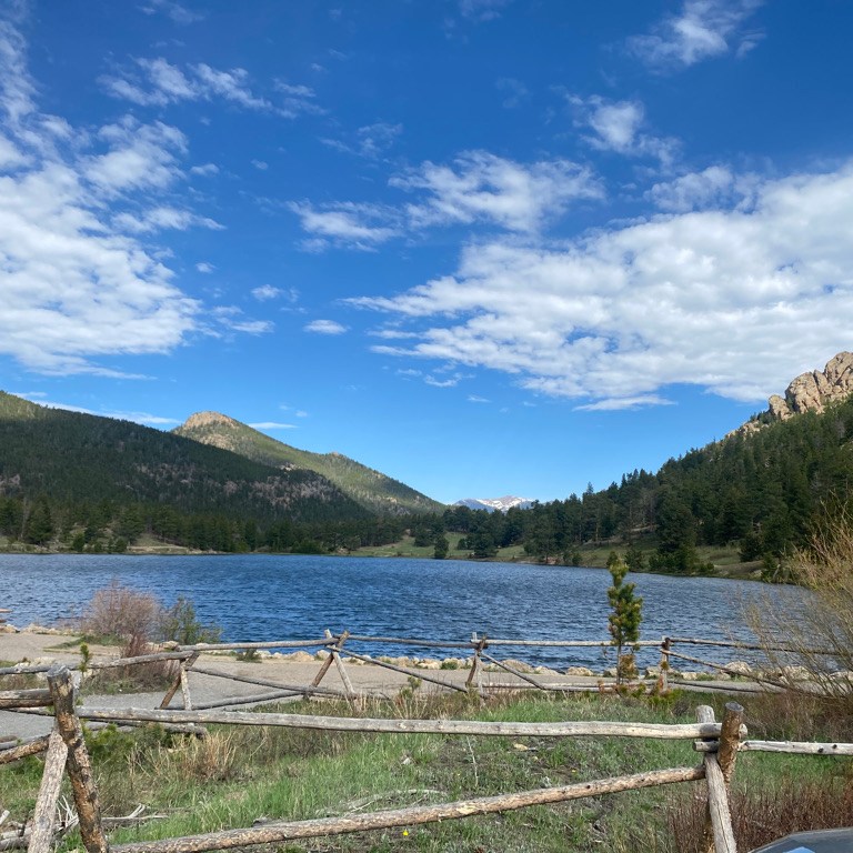
Day 2 would be a day of adjustments and surprises. The day started with a pretty significant hill climb.

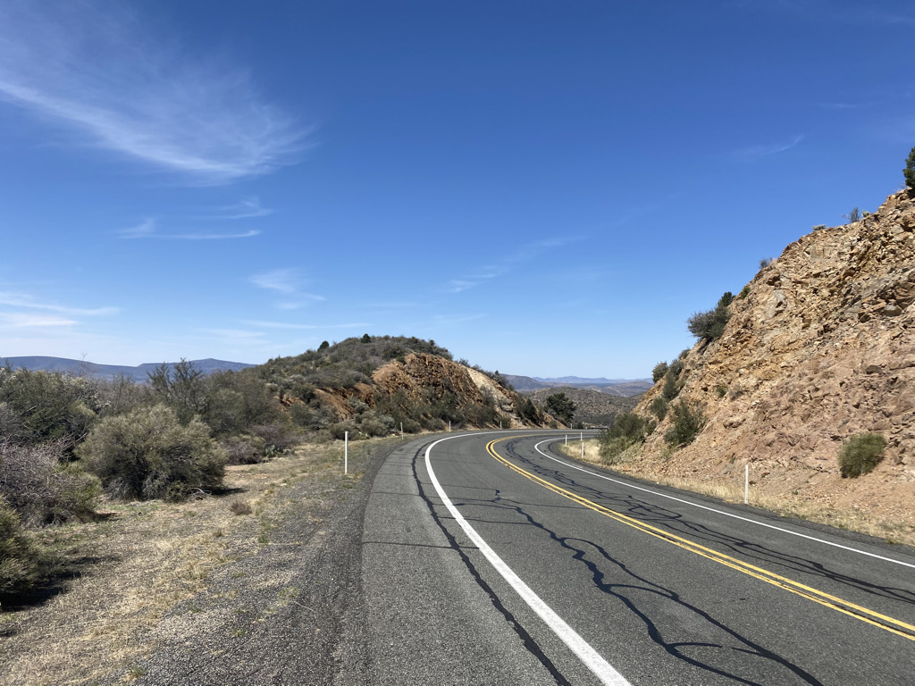
Continuing the theme from day 1, much of this ride went through some very unpopulated areas. The only thing I remember about the towns of Breen and Klein were a fairly long descent and an aid station in a high school parking lot. This was followed by a gradual 17-mile climb on a dirt road.

I was somewhat confused as to why this ride incorporated some dirt road sections. Van supported rides tend to attract a lot of riders who like to ride fast. Apparently, cycling on dirt is a trend of some sorts. As someone who likes to determine for myself what to do, listen to and wear, trends have never interested me too much. However, I can see the appeal in some ways. On the transition from pavement to dirt, one cyclist announced that he was glad to finally be in a place where there would be little vehicular traffic and that he had become tired of riding on highways. I had felt the roads we were riding on were plenty quiet, but I have always lived in and around cities and know that experience is informing my perspective

Along this dirt road local ranchers came out to give us lemonade!

After talking briefly with the ranchers, I found myself wondering what life was like in a place like this. They are six miles from any paved road, ten miles from the nearest town, and thirty miles from Durango, the closest town of significant size. It must be so much different than anything I have ever known.

I feel bad because in the past I had cast judgement on life in rural areas as boring. Other metropolitan people can be harsher. While this is not likely the life I would prefer, we should all have the option to have the life we want. Being able to accept people having different preferences without feeling insecure about it is a sign of maturity.

Travel opens our minds to new perspectives. It makes us realize that the way we do things is not the only way. It gives us things to think about. Maybe these ranchers in the middle of nowhere have happier lives. Maybe they have better communities. Maybe, in a place like this, it is much easier to just enjoy activities like having a friendly conversation, reading a book or watching a movie without always worrying about what else is going on.

As the ride continued uphill on this dirt road, I found myself continuing to adjust to my surroundings. It grew hot and the next aid station had very little shade.

The people I was riding with represented a different type of crowd than the ones I typical find myself in. Mostly veterans of cycling trips of this type, many of them are accustomed to having better aid stations. I heard some grumbling.

Also, the crowd was significantly older than I had expected for a ride this intense. At this aid station, my first instinct was to joke that the aid station “throws as much shade as an episode of Mr. Rodgers.” I stopped as I suddenly realized that this joke would only appeal to a very narrow age range of people old enough to remember the children’s show that ended just after the turn of the century but young enough to appreciate the comparison between the literal and slang definition of the phrase “throwing shade”. The joke would not have landed.

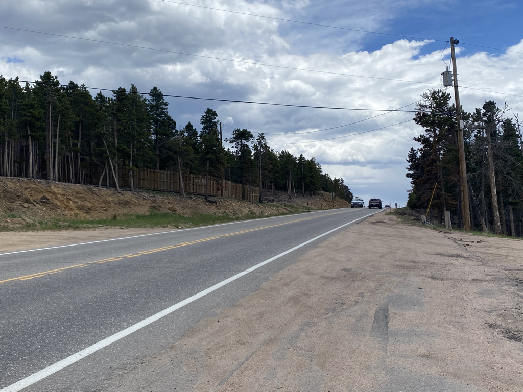
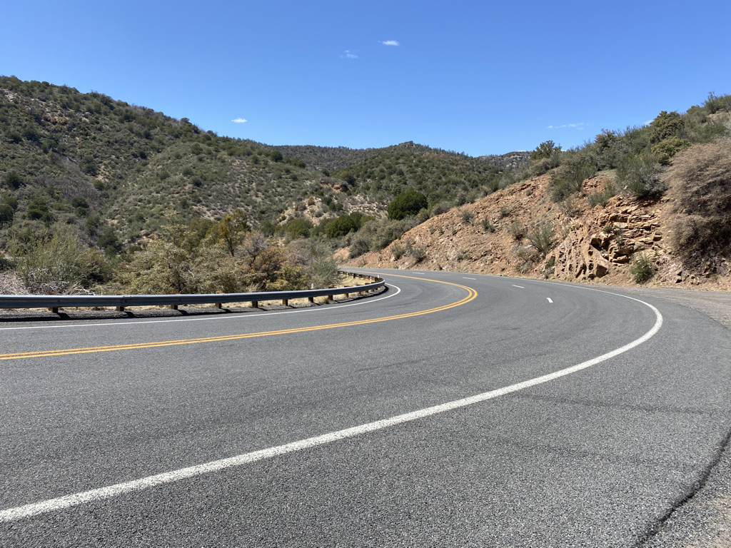
After the dirt road segment, the route turned onto U.S. highway 160, an extremely busy road for a two mile intense climb to the top of Mancos Hill. This road was busy with both cyclists and cars!

Getting to the top was a little scary, as cyclists were commonly passing one another, requiring them to get closer to the vehicular traffic. Maybe the guy who was excited about the dirt road section had a point! He must have been less than thrilled on this part of the ride.

Somewhere on this climb, my body started hurting. Generally speaking, our lives in the early 21st century are quite sedentary. Most of our jobs involve sitting in front of a computer all day. In their spare time, many people chose to watch TV, read, or spend it in front of a different computer! Going from this to riding 70 miles a day on a bicycle is a transition for our bodies which is going to cause some pain. Whenever on a multi-day trip where the pain sets in I can’t help but lament how sedentary our lives are and how many people chose lives that are far more sedentary than mine.

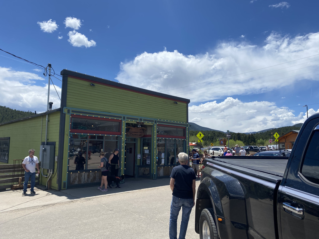
We descended into Mancos, a town I had visited and stayed at years ago to visit Mesa Verde National Park.

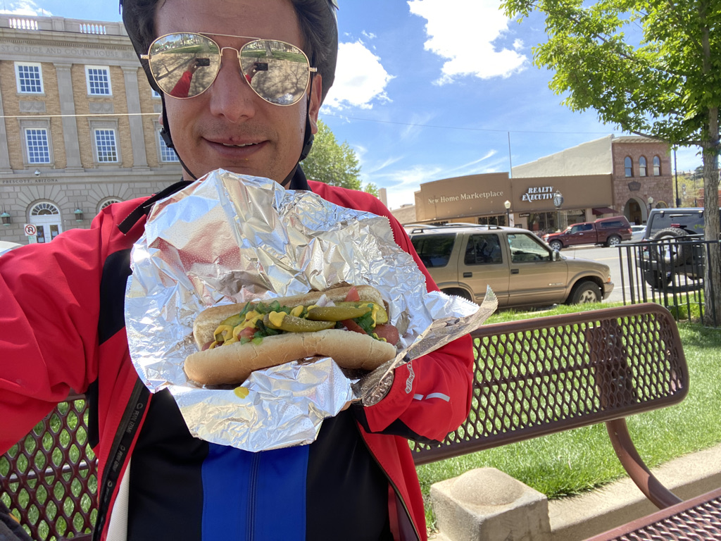
I’d get a chance to visit the local bakery which had a message I could not help but get behind.

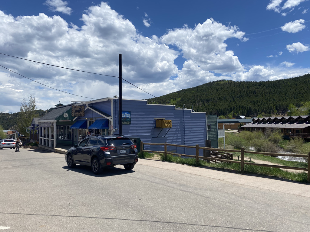
Mancos is the perfect kind of town for cycling trips to pass through. It’s big enough to have interesting places to stop but doesn’t slow the ride down too much.

While I was eating my sandwich, it got even hotter! We rode right by Mesa Verde National Park along highway 160.

The combination of prolonged physical exertion with hot, dry and windy conditions lead to salt slipping into my eyes. I was having some trouble seeing until luckily I was able to stop and get sprayed in the face with a hose.

By the time I arrived in Cortez it was 96°F (36°C).

The ride ended with burgers and music in a park where we all stayed in the shade.

Ride The Rockies Day 1: The Durango Loop

When I first got interested in cycling long distances I would never have imagined something like this existed. I thought it was too obscure of an interest. In High School, I recall enjoying using a very basic bicycle to go to friends houses, stores, restaurants and movie theaters. Then I thought it would be neat to travel from town to town by bicycle, go further and visit interesting places. As a map enthusiast, I was motivated by looking at a map and seeing the distance I could cover by bicycle.

Now, I find myself in an organized bike ride with over 2,000 other cyclists.

They talk about the same things. Places they had traveled by bicycle. Which “climbs” are the most challenging. Experiences like foul weather and flat tires, the kinds of things only people who have traveled by bicycle can relate to.

Unlike any other bike tour I had been on, this one was organized. Each day had an official start and end point. Aid stations were set up to provide cyclists with food, water and restrooms. Routes were planned and signed and there was a headquarters in each town where the rides began and ended every day.

The six day ride would also be the biggest challenge I had ever taken on when it comes to cycling. The official route was 418 miles with over 28,000 feet of climbing. However, there were many options along the route for people to shorten their ride. Day 5 was completely optional.

One thing I realized about cycling a long time ago is that it is a very individualized activity. Everyone rides at their own pace and has their own style. Some are in it for the speed, to achieve the fastest time possible. Others are more about the scenery and the experience. Some prefer to take frequent breaks, while others are more slow and steady.

Throughout the week, I would regularly encounter cyclists that I would pass on the highway repeatedly, as I would move at a faster pace but stop more frequently to take photos or just get my butt off the seat for a while. I also tend to be faster going downhill but am a slow climber. I encountered some cyclists that would pass me going uphill but I would pass on the descent.

Events like these cater to each person’s individual styles. There is no one start and finish time. There is a range of times. Even then, many cyclists leave outside that range. On day 1, the “rolling start” was from 7 to 9 A.M. Yet, probably due to the anticipated heat, I saw many cyclists leave before 7. Before the ride I signed up for “waves”, indicating my departure time each day. I forgot what “waves” I had signed up for and it did not seem to matter too much. I just left when I was ready.

Riding in the Rocky Mountains is challenging because you are pretty much always either going up or down a hill.

The hills on day 1 were relatively gentle. It took me 18 miles to get to my first climb. This part of the ride entered the Southern Ute Indian Reservation, and at about the halfway point I found myself in the tiny town of Ignacio.

The roads here were nice and it was interesting to encounter far more bicycles than cars for pretty much the entire route.

The town of Bayfield, where we left the Southern Ute land was also quite small. It was here I realized that these large cycling events have different implications than the self organized cycling I typically do. When biking alone or with a few other people, it’s advantageous to find towns with amenities like gas stations and restaurants to stay fed and hydrated. On this tour, the organized ride just needed to set up aid stations in large parking lots. It changes the dynamics and potentially alters which routes are possible and which places can be explored.

After Bayfield there was a climb that got intense for a brief period.

Still, on this day I did not feel as if I was in the thick of the Rocky Mountains. It felt more like rolling hills with the mountains off on the distant horizon.

The day ended with a major descent back into Durango and some pretty uncomfortable heat.

I ended the day feeling decent, but knowing that the hardest parts were still to come.

Peak to Peak Highway: The Perfect June Colorado Bike Ride

I started this ride just after 8 A.M. in Estes Park, Colorado, a town that has become so overrun with tourists due to Rocky Mountain National Park that they are now having visitors park at the visitor center and take a shuttle bus into town.

The town itself is surrounded by mountains still snow packed in the early part of June. Perhaps this residual snow at the highest peaks in the area is the reason this entire area would be less crowded than I had feared, and less crowded than it gets in July and August.

The first 8 miles of this 60 mile ride climb about 1700 feet (520 m), skirting by the Eastern and Southeastern edges of Rocky Mountain National Park.

There are even a couple entrance points to the park along the highway!

I liked the initial climb as a way to acclimate myself to the challenging ride and pace myself properly.

The ride as a whole does not have any flat sections. Some climbs and descents are long and others are short, but it’s always either up or down hill. The next part was mostly downhill, rolling through Allenspark and by one of the fastest sections of the highway (where I’d hit my top speed).

One of the things that makes this ride so close to perfect is the bicycle accommodations. With the exception of the first 8 mile climb out of Estes Park and another section of about 5 miles after Nederland, most of the highway has a shoulder so wide cyclists do not need to worry too much about interacting with traffic.

It is almost impossible to overstate how much this added to my enjoyment of this ride.

The entire ride is scenic in all directions. However, there are times when it is important to take a look back. The ride can be completed in either direction, from Estes to Blackhawk as I did or from Blackhawk to Estes. I decided to ride southbound, from Estes Park to Blackhawk to avoid afternoon crowds in Estes.

However, taking the ride in this direction did cause me to almost miss out on what turned out to be the best scenic overlook of the ride. Luckily, I stopped at the top of one of the many hills on the ride, this one about 20 miles in.

And decided to look back in the other direction, where those traveling in the northbound direction would be starting their approach towards Estes Park.

About 10 miles later and after another big hill climb, I would arrive at a tiny town called Ward.

It reminded me of a phrase I used to hear about smaller towns on road trips growing up, “You blink and you’ll miss it.” I remember sometimes being intrigued enough by such towns that I would follow along on the map and anticipate looking out the window at towns like these to avoid missing out on the momentary opportunity to see them. When traveling by bicycle, there is no danger of missing towns because I was reading, looking at my phone, or drifting off in thought.

The next ten miles would be a series of rapid descents into the town of Nederland.

Having been to Nederland before, I expected to find crowds. There were people out and about, but perhaps because some of the trails were not yet opened up due to snowpack, it was significantly less crowded than I had expected. One other advantage to riding this highway from North to South is that I arrived in Nederland, the best place to take a break for lunch, a little bit after noon with 2/3 of the ride behind me.

Then would come the next most challenging climb (after the first 8 miles) and the only other section of road without a shoulder.

The open road returned alongside a series of hill climbs interrupted by short descents.

Throughout the ride I was hardly thinking of anything else besides what was in front of me. It reminded me of the state of flow so many people have been talking about during these somewhat psychologically challenging times. Most people enter this state of flow when they understand the task at hand, are sufficiently challenged, have sufficient autonomy and avoid distractions. Flow is said to accelerate both progress and satisfaction and the quest to reach the state of flow is an important component in many coaching services.

There I was, rolling up more hills until I finally reached the top of my final ascent.

Before I knew it I was flying down the final five miles into Blackhawk completing the ride.

After everything annoying about the past year or so, I have been working hard to clear as much negativity from my mind as possible. Apparently, I am not alone, as studies show 80 percent of all thought are negative. Even on a couple of my more recent bike rides, I struggled to avoid negative thoughts. I found my mind drifting towards conflicts with people, frustrations with recent events and the state of the world and such. It amazed me that on this day none of these thoughts entered my mind. I was present. I did not even come out of this ride with some sort of lesson. Those realizations would come days later. Maybe this turned into some kind of five hour long meditation session in nature. Either way I wish to have more experiences like this one.

The Great Divergence

When the first pandemic in over 100 years disrupted our lives, forcing many of us to stay home and stay apart from one another, I instantly became consumed with what life would be like when the pandemic comes to an end. Will this event cause us to re-think the way we are all living our lives? Or will we go back to our old ways once the danger of spreading a potentially deadly virus subsides? Will the changes associated with this once in a lifetime event be for the better or for the worse?

This summer, after a little over a year, we will finally get the opportunity to start seeing what this post-pandemic world will look like.

From observing how people behaved during the pandemic, and how people are acting as it comes to an end, there appears to be several points of divergence.

Back to what we had before or on to something new?

It would be hard to think of a more obvious area of post-pandemic divergence than this one. There is nothing I want more than to return to the activities many of us were denied for a little over a year. But, do we need to return to everything about the world in 2019? Some employers are already asking their employees to commute to the office five days a week once again. This, despite numerous studies showing people are actually more productive working from home.

The same can be said for many other aspects of how we live our lives. There is the instinct to return to “normal”. There is also the instinct to find a way to take the lessons learned from this experience and create something better. However, there also appears to be a current of fear, as many of us started living a different life during the pandemic. Now have to merge that version of ourselves and our “normal” lives.

A new power structure

Disruptive events stir the pot. They mix things up. There are winners and losers. An aspect of this appears to be luck. During the pandemic, people in “essential services” and in jobs that could be done remotely mostly did well while those in industries like travel and tourism got hurt pretty bad.

The post-pandemic world will come with a completely different set of changes that will stir the pot once again. Some people and groups will come out of it significantly more powerful and influential, while others will be significantly less so. A question for all of us is, are we ready to adjust the way we do things to fit into this new world?

A new found appreciation

The Best Views of New York’s Skyline

One of the first things I remember hearing about after the onset of the pandemic was the New York Times opinion piece where columnist Roger Cohen forgave the City of New York for everything that he had been annoyed about. It appeared as if the pandemic had given him a new found appreciation for the city, leading him to focus less on the petty annoyances covered in the article, from rats to traffic and bad odor, and more on what he loves about the city- it’s liveliness.

Can we say the same thing for the people and places that meant a lot to us in our lives? When the pandemic struck, did we contact the people we wish we could still see? Or did we yell at strangers for their views or behavior as we were all fearful?

While I wish to never return to wearing masks and social distancing, I hope to retain my appreciation for less active days, one-on-one experiences as opposed to large groups, and people who’s jobs are important but often under appreciated. There is the instinct to discard everything that happened in an effort to simply forget this horrible period of time. However, there is also the instinct to remember being without the people and places we love and continue to appreciate them.

Freedom or Avoiding Risk

I often hear people talk about the lack of a standard flu season this past winter, due to our mask wearing and social distancing. Some are even talking about adapting mask wearing every winter going forward.

The main question is, what risk avoidance methods are worth it. For the past 16 months, it feels as if Americans have abandoned our traditional concern for freedom and skepticism about mandates that curtail it. There is a divergence here between the desire to return to our orientation toward freedom, removing some of the extra layers of control adapted during the pandemic and fear of the virus or what is coming next after all the crazy events of 2020.

Do we know it all?

The pandemic was not the only event to rock the world in the last year. We live in a divisive time. There are the obvious divisions out there, between political parties, ideologies and priorities. However, if we dig deeper within these divisions, another one emerges. This perhaps even deeper division is between curiosity and believing we know it all already. I have observed this division in nearly every highly intellectual setting I have entered, from graduate school to TED talks.

Are we there to learn or advocate for a cause we’ve already adapted? With everything we recently experienced and the ongoing issues of loneliness, lack of fulfillment, high asset prices, etc. both instincts will still be there.

The battle within

As is the case with any historical event or set of historical events, some people will come out better for it and others will not. It is my belief that, based on these divergences, some people (those that worked on improving themselves, are curious and ready to adjust to a new reality) are in for a better decade than others.

However, that is also far too simplistic. The divergence in attitude described here is not just from person to person, but it is within each of us individually as well. Nobody is completely only on one side of each of the divergences described in this article. So, in the end, the way this decade will turn out is not about what people or groups of people adapt certain attitudes. It will probably be about which of these competing energies emerge more prevalently and where.

Do We Have Too Many Updates?

Elk Falls, in Stauton State Park, is a fairly lengthy hike. The round trip from the main parking lot (called the Meadow Parking Lot) is about 11 miles, depending on where you park. It begins with a mostly flat, 3.1 mile section called the Staunton Ranch Trail.

The trail passes by areas of interesting rocks where people climb.

And even crosses a county line.

As is the case with most State Parks, this trail is part of a network of trails that connect several important features. Elk Falls just happens to be the most commonly discussed feature, as it is the tallest waterfall within an hour drive of Denver.

Staunton State Park is one of the easiest trail networks to navigate. At each trail junction, there is a sign that not only identifies the trails, but also serves as a mile marker.

At this point, I had hiked 2.6 miles and had 1.6 miles to the Elk Falls Pond.

With an additional 1.2 miles from the pond to the waterfall, this sign was quite close to the halfway point of the hike.

The hike from the parking lot to the falls would take just over two hours (the return trip would be about the same length). Over the course of the trip, the signage would provide me with a total of about five mileage updates. I actually found this to be quite close to the frequency I desired.

However, I wondered, how many updates we really need and what impact it is having on our experience. I thought about the explorers of centuries past, who would travel great distances using maps that, while state of the art for the time, would be considered woefully insufficient today. Lewis and Clark, for example, famously underestimated the length of their journey by many months. Yet, today we demand mapping software that estimates our time of arrival to the minute. These software packages, available to anyone who has a smart phone, even adjusts expectations for the one aspect of travel that still lead to uncertainty at the turn of the century- traffic. Now, at any moment in time, we can say exactly how much distance and how much time we have left.

Has this detracted from the experience? Are we bombarding ourselves with too many updates? Does checking the map on our phone for updates too frequently cause us to focus too much on the destination, preventing us from enjoying the journey? Could it even be causing anxiety? Elk Falls is the destination and the highlight of the trip, but while still over an hour away from the Falls, it is certainly better to enjoy what is in front of me than to spend the entire time anxiously awaiting the Falls. The same can be said for the trip back to the parking lot.

It makes me think of everything else in life we excessively look for updates on. How much is too much? How often do we check…

  • The number of likes our photo received?
  • The current status of our investments?
  • Whatever device is tracking our fitness goals?
  • The news?

And, what impact does it have on…

  • The experience we have in the places where we took those photos
  • How we think about the investments we chose to make
  • Our feelings about our bodies
  • How we feel about the state of the world

It feels like we’ve reached a point where we are updating ourselves too frequently on too many things. Maybe it’s time to back off all of it and try to be more present in the moment. Maybe this will require some degree of acceptance, of things how they are as opposed to how we wish them to be.

The Last Week of the Off-Season in Summit County, Colorado

Keystone Village Ice Rink three days before Memorial Day Weekend 2021

Somewhere along the line, a holiday set aside to remember those who had died serving in the U.S. military became the “unofficial start of summer”. This year the holiday also happens to coincide with many places lifting restrictions related to COVID-19, as a significant proportion of Americans have been vaccinated and case numbers have declined. In 2021, the contrast between Spring and Summer promises to be far greater than in any other year. It is a contrast between a “socially distanced” offseason and a fully re-open summer that unofficially began Memorial Day Weekend. The week before Memorial Day literally felt like the calm before the storm.

I spent most of the week riding my bike around the area. It felt like the last time in quite a while that these trails (the Summit County’s bike trail system) would be so quiet.

The weather was quite nice, although a bit chilly in the mornings. Yet, since it was still technically off-season, the crowds had not yet arrived.

Downtown Frisco Tuesday May 25th

Each season in the mountains is unique and as Spring transitions into summer, the sun is bright, but mountain tops still have a lot of snow on top of them. The middle part of a sunny day in May or Early June may be the brightest the area ever feels.

There are so many places of natural beauty and so many stretches of trail, throughout the county, where one can just be alone with their thoughts.

It’s hard not to feel spiritually refreshed after several days of cycling around the area.

The way the world is currently set up, cycling is by far the best way for me to process my thoughts. Almost anywhere else I find myself, there is the temptation to look at my phone or engage with some other distraction. Cycling, I need to have both hands on my handlebars. Therefore, there is a lot of value in riding long distances. It is on these rides that I process through life developments and often come up with ideas.

Wednesday was quite possibly the most significant day of this trip. The day started with the Super Flower Blood Moon, a lunar eclipse visible just after 5 A.M. It was visible for a while but then the moon slid behind the clouds as the sky started to brighten up. From a spiritual standpoint, I was told that lunar eclipses are a time for us to release things. So, at the time when the eclipse had peaked, although behind the clouds, I set the intention of letting go of a couple of things that were no longer serving me in life.

Later in the day I rode my bike from Keystone to Breckenridge, a 16 mile (25 km) ride (each way) with a moderate hill climb. When I arrived in Breckenridge, I randomly encountered a parade they were throwing for this year’s high school graduates, on Main Street.

Summit High School Class of ’21 celebrating on Main St. May 26, 2021

It warmed my heart. This year’s graduates in particular got a raw deal from the pandemic. It impacted both their Junior and Senior years. I was glad to hear them all happy, with many of them looking forward to the life they have in front of them. Written on many cars was the college the students were about to attend.

One of my favorite things about bike travel is randomly encountering events like this. They are much harder to miss riding a bicycle than driving on a highway. I even encountered the parade being staged, in the parking lot for the ski resort, which is empty because it’s off-season.

In a few weeks, this place will once again be active, with summer activities. Visiting the week before Memorial Day may have been the best of both worlds, nice weather but still not crowded. However, it is important to recognize it as a transition week, a time when one season ends and another begins. Many people fly from one activity to another, one endeavor to the next, not taking any time to slow down, process what happened and take in the lessons learned. The super blood moon was a time to let go of what isn’t serving us well. Hopefully, the entire week, as was the case for the graduates marching down Main Street preparing for College, was a time to reflect and prepare for what is to come. A time to close one chapter and enter the next.

Cycling up Mountains in a Storm

Loveland Pass on Sunday May 23, 2021

Colorado can be a pretty confusing and frustrating place in the Springtime. In most mid-latitude Northern Hemisphere places, Spring is a time of revival. It is the time of year where people who had mostly been indoors and inactive during the winter return to life. Here in Colorado, Springtime is a period of major weather fluctuations. In Denver, March and April are often the snowiest months. It can even snow in May. Sometimes it feels like we go from tracking the weather for snow to 90 degree heat with barely a week or two in-between.

Credit Channel 7 Denver

At higher elevations it snows quite a bit during springtime (Leadville is 10,200 feet (3.1km) above sea level), even as the snow melts into mud on most trails. It is probably the most inactive time of year in the mountains.

Image from Weather Atlas

Springtime in Colorado requires a combination of planning, adjustment and resiliency. The weekend of May 22nd and 23rd would test my resiliency because I kind of dropped the ball on planning.

On Saturday, I climbed Lookout Mountain, a ride in Golden, Colorado that climbs from 5500 feet (1675m) to 7300 feet (2200 m).

The day was somewhat stormy but also quite active. Paragliders took off from Lookout Mountain, flying over the town.

And the road was packed with cyclists. Only about 20 miles (32 km) from Denver, this is a very popular ride!

After noon, with even more paragliders taking off from the mountain, I encountered the storm.

Some cyclists chose to wait out the rain by finding a building to stand next to. I raced back home, into a fairly significant wind down the hill.

The next day, I went up to Loveland Pass to climb another mountain, this one at a much higher elevation. My ride began at the parking lot of Loveland Ski Area, which sits at around 10,600 feet (3230 m). I could already see that the storms had returned.

As is the case with going upwards in elevation, the weather was much colder, probably only around 45°F (7°C) at the start of the ride. From the very beginning, the ride felt like it was taking place in a different season.

Much of the ground was still covered with snow. Unlike on Lookout Mountain, I was the only one on a bicycle on the road up to Loveland Pass that day. The only other people I encountered were backcountry skiing. One joking asked me for a ride to the top of the pass on my handlebars.

Higher up the mountain, I suddenly found myself doing something I typically try to avoid, riding in the snow. It became scary as it was obvious that slippery conditions existed.

Near the top visibility continued to decline.

Finally, just to be true to the cycling community I belong to, I took a photo holding up my bike in front of the sign that indicated I had reached the top of the pass at just shy of 12,000 feet (3650 m).

There I stood, the only cyclist, almost out of place, like I was suddenly in the wrong season. It reminded me of how often we forget that different people in different places are often having quite different experiences. Two months ago, towards the end of March, while most places in North America were seeing people emerge from their winter dormancy and return to life, life in the Central Rockies was slowing down as the ski season was coming to an end. Now, there could not be more contrast all around me.

As the United States has mostly put the COVID-19 pandemic behind us, countries with slower vaccine rollouts are dealing with some pretty bad case numbers associated with newer, more rapidly spreading, variants of the disease. This sits in sharp contrast to last summer, when other more prepared countries had much greater success in containing the virus through behavioral measures than we had. Heck, even the period of time westerners refer to as the “dark ages“, were not a dark time for everybody. The Tang Dynasty was remembered as a golden age for China. It was also a time of great advancement in the Islamic world. Finding myself on my bike in the snow in the second half of May reminded of the benefit of understanding that not everyone and not every place is having the same experience.

The Prescott-Skull Valley Loop

This 54 mile loop is a common ride for road bikers in Prescott. It is even an annual event. The official ride starts and ends in Prescott, which is called Arizona’s “Mile High City”. It’s official elevation is just over a mile at 5367 feet (1636 m). The official ride starts with a short climb and then a major descent into Skull Valley, whose elevation is closer to 4000 feet (1200 m). Then, the larger climb back towards Prescott is in the second half of the ride I, however, decided to start my ride at the ride’s low point, in a town even smaller, called Kirkland (not to be confused with the Costco brand).

From this side, the ride starts out with a relatively shallow grade up into Skull Valley.

Skull Valley is also quite tiny, feeling mostly like a randomly placed trading post along an old western trail. It is also where the climb starts to get intense.

There was a total of 20 miles of climbing along county highway 10. The road felt quite accommodating the entire time. There were not too many cars and with the exception of a couple of bridges, there is plenty of shoulder space.

Unsurprisingly, the other bicyclists I encountered were traveling in the opposite direction, the official direction of the ride.

The road reaches it’s summit at a place called Iron Springs Pass.

And then descends into the town of Prescott.

This was the other advantage I saw in parking in Kirkland and riding the loop in this direction. Not only does it feel better to do most of the climbing earlier, but it was great to stop in Prescott in the middle of the day and hang around the courthouse in the center of the city.

There were a lot of people out and about on a mid-April Friday and there seemed to be an interesting natural feature in the background in every direction I looked. As was the case in many other places I had explored in Arizona on this trip, there were definitely signs that a lot of ex-Chicagoans had settled there. I even had a true Chicago style hot dog.

The trip back into the valley follows state highway 89 through Prescott National Forest.

There was one last hill climb, of a little under 1,000 ft. (300 m). It was the last climb of the last ride of my weeklong trip down to Arizona.

There was still about 15 miles left in the ride, but it was all downhill. On rides like these, it is quite common for a feeling of accomplishment to set in around this point. The last true challenge was done. This rapid paced downhill part, with much of the same natural beauty of the climb earlier in the day, felt like a victory lap of sorts.

I could gaze out upon the mountains in all directions feeling like I was doing exactly what I had came out here to do.

Whenever taking on any kind of challenge, anything that requires doing things that are hard, that require effort and getting out of our comfort zone, a common question is why. This is a question we are asked by others but also ask ourselves.

On both the uphill and downhill portions of the Prescott-Skull Valley loop, my why once again became quite clear as this was the exact type of bike ride so many of us work towards. It is the feeling of using my own power to traverse beautiful mountainous terrain while feeling the air in my face and smelling what is around me. The immersion in these surroundings cannot be replicated inside an automobile. The experience also becomes far more special when one has the capacity to enjoy it rather than focus single-handedly on the pain they are enduring just to make it up these big hills. Rides like these are a reminder of how we “level up”.

And then, inevitably, we enjoy the rewards the come with it.

The Cycling Trails of Metro Phoenix

People tend to think of Phoenix as a sun-belt car centric city, and for the most part they are correct. While Arizona ranks fairly low in terms of miles driven per capita, biking and public transit are not widely used in the Phoenix area. As is the case in other sun belt places like Southern California and Texas, driving is the default way to get from point A to point B. However, this does not mean that the region has no bike trails, nor does it mean that the area cannot be explored by bicycle.

Maricopa County Bike Map

The bike trails are quite nice and not crowded at all. My visit to Phoenix came at probably the best time of year to bike around the city, in the middle of April, and I was commonly the only one on the trail.

There are also a good number of trails, all connecting most parts of Phoenix and the nearby suburbs.

The crown jewel of the trail system is the Arizona Canal Path, a trail nearly 70 miles in length connecting places as far apart as Glendale and Scottsdale.

The trail has a very unique feel. The canal is obviously not natural. Nothing about it feels free flowing like the rivers and creeks I am accustomed to seeing elsewhere. It was constructed in the late 19th century kind of as the towns around Phoenix were being settled and incorporated. They needed the water and the means to transport goods, which was then far more dependent on water then. Later, they built Arizona Falls to harness some power from the canal.

Still, none of this is what I typically envision when I think of riding a bicycle along a river and seeing a waterfall.

However, the ride is not without natural beauty. Mountains, cactus and palm tress emerge around every curve.

It’s such an interesting feeling. Little mini-mountains in the middle of a city with over 1.5 Million People. Natural beauty around every curve, but every curve was planned carefully by engineers. Some of us are so accustomed to thinking of natural experiences as being separate from human development. This is especially the case in places like New York and Chicago where our homes are surrounded by development but we travel a few hours to be away from that development in nature. However, here on all of the Phoenix area bike trails, there is both, right there in front of my eyes.

Along these trails, it is possible to visit a lot of the area attractions. From the kinds of places you’ll see in almost every major city.

To spring training facilities for baseball and softball alike.

To the college and professional sports stadiums.

While exploring, you also never know what kind of random attractions you’ll encounter. Right in the middle of town there is a castle, and just east of town there is this hole in a rock people like to hike into.

I even got to see Central Station under construction and the one light rail line downtown.

I also learned one other important lesson, the difference between cycling long distances in a semi-arid area like Denver and a full-blown desert like Phoenix.

Usa Map Of Köppen Climate Classification - 2018 Iecc Climate Zone Map -  Free Transparent PNG Download - PNGkey

In this part of Arizona, it was hard to drink enough water without even doing anything that involves physical exertion. Spending the whole day riding my bicycle felt like a constant search for water. I guess I now understand why the bike trails are empty and why they follow a series of waterways built to bring water into the area. It even facilitates some agriculture surprisingly close to the city center.

Still, there is nothing like the feeling of visiting so many tourist attractions traveling by bicycle on a day with sunshine and temperatures in the 80s (26-32° C).

The Musical Instrument Museum

Unique places like the Musical Instrument Museum are the essence of travel. The reason it becomes worthwhile for anyone to leave the place they live and travel to places beyond where they typically find themselves is to see something different, something unique, something they can’t see in their hometown. Often times they are places of natural beauty or specific cultural experiences. However, this museum, on the Northeast side of Phoenix is something few people have in their metropolitan areas. It is a museum dedicated to musical instruments and the musical experience around the world.

Upon entry into the museum the motivation behind building it is apparent and obvious.

For reasons that are hard to impossible to explain, music is and has always been a major part of the human experience. It is hard to imagine a world without it, and music historians speculate that music has been around longer than language. Music is an experience that cannot be accurately explained in words. The reasons different people have different reactions to music cannot be programmed into an algorithm or explained using science, language or any left-brained tactics.

The museum itself has a lot of exhibits. The downstairs has exhibits demonstrating the importance of specific musical instruments.

While the upstairs contains exhibits showing the musical traditions of every country around the world.

Each county’s exhibit contains videos of popular songs, performances or dance rituals in their country, as well as artifacts of instruments past and present.

Coming out of a very isolating year, with the COVID-19 pandemic, it is hard not to get emotional at some of these exhibits. While the venues vary, especially from poorer countries to richer countries, music seems to be a means by which people gather together and have fun. Many of the videos show people doing ritualistic dances together or performing in front of a large audience. It is exactly everything the world has been missing as many have been forced to “social distance” for a year or more. Seeing people gathered together and enjoying music is seeing exactly what the world needs and exactly what the world is craving.

It was also interesting to note that even the poorest of countries have musical traditions. Pure logic would dictate that in places where people live in extreme poverty, where their basic needs for food, water and shelter are not secure, people should spend every last bit of their time and resources trying to fill these needs. Even in these places, people are willing to use natural resources to build drums rather than secure their fragile homes or build weapons to hunt food. They are willing to expend energy that could be used to build, hunt, and prepare food, water and shelter dancing and even making costumes for some rituals.

It shows that no matter how much some people emphasize things like advancement, monetization and efficiency, there is an intrinsic value in things that don’t specifically correspond to money or material wealth. People in wealthy countries are willing to spend their money on concert tickets and streaming services. People in poorer countries are willing to use their resources to play music and dance in their communities. Both represent people using resources that could be used for personal advancement or obtaining something material on an experience that makes life joyous. The same could be said for all kinds of other experiences, from spiritual pursuits to sports and other activities with friends. Humanity shows, over and over again that joy, connection and fulfillment are valuable.

The United States and Canada section is quite diverse, honoring all of the musical traditions that graced this diverse continent, from the Native American traditions all the way up to rock and roll and hip hop.

It was great to see that all traditions were represented, seemingly without bias.

To view all of the videos and learn about all of the musical traditions around the world would probably warrant an entire day. However, it is possible to get a pretty in-depth experience in a couple of hours. By displaying the music traditions of all people all over the world, the Musical Instrument Museum gives the true respect music deserves for its role in shaping humanity.