Tag Archives: weather

Storms With Abnormal Structure

One of the things that makes this world so amazing is the fact that we never cease to encounter surprises.  No matter how well we get to know a subject, any subject, we will encounter, and observe, from time to time, that which does not fit closely into the patterns we have learned.  We will periodically be tested, in our knowledge, and forced to rethink, and once again reason out what we have seen based on our critical thinking skills and understanding of our favorite subjects.  Like the psychologist that talks to someone new and says “I have never seen this before”, these experiences rekindle the passion we have for that which we love, remind us how complicated the world really is and how little we really know, and remind us about how interesting of a place the world truly is.

The 9th of May 2017 was a confusing chase day for me.  It is one that I am still trying to figure out, much in the same way the scientific community is still trying to determine why some storms produce tornadoes and others don’t.

SPC_Day1_2017_0509_1630

The day began with a slight risk across Eastern Colorado and New Mexico, and reason to believe, based on model output and expert opinion, that it could be a decent setup for a storm chase in East Central/ Southeastern Colorado.

The day ended up being one where I followed over half a dozen storms, over the course of the afternoon and early evening, northeastward, from near La Junta, Colorado, to just north of Goodland, Kansas.

Regardless of where a storm was positioned, both relative to other storms, and relative to atmospheric boundaries such as dry-lines (the boundary between moist and dry air), which are credited with creating the lift in the atmosphere that often creates storms, all the storms would behave in much the same sort-of standard but sort-of not manner.


They would cluster together and come apart.  They had the standard boundary one would observe between the inflow and outflow portions of the storm.


Some would even show something that look like a “lowering”, which is often an indication of the mesoscale rotation that causes tornadoes.

But, these “lowerings” would show up in some strange sections of the storm, including in the front part of the storm.  This is absolutely nothing like how anyone is taught that a “supercell” thunderstorm operates.

Supercell

In the end, storms did occur, but largely outside the region SPC highlighted that morning.

Storm_Reports_20170509.gif

And, in the areas of Colorado and Kansas I had chased, nothing more than a couple of hail reports.  Although, I am quite certain that there was far more hail than what is shown on this map, as I recall driving through some areas where hail covered the ground, including multiple areas near Burlington, Colorado.


I watched these storms tease us all day.  Everything just seemed, well, weak.  In a typical tornado situation, these random-ish clouds that form around a storm, often referred to by chasers as “scud” (I don’t know why), rise and rotate, indicating that there is indeed, the vertical motion and rotation that produces tornadoes.  But, today, the rising and rotating motion in these storms all seemed, well, just weak.  It reminded me of a relationship, or a friendship, that just fizzles away as soon as any small change occurs.  It was not that there was any kind of real force or circumstance pulling these people apart.  It was just that whatever connection they had was not strong at all.

That is the way it was with these storms.  Something about the entire setup made them behave differently, but I throughout the evening, as I watched the final storms roll away into the sunset.  I could not formulate the full reason as to why these storms behaved so differently from a standard severe thunderstorm situation.


I am still wondering.  Often times severe thunderstorms don’t materialize because one key “ingredient” was missing.  Shear, instability, a good boundary, etc.  And those often lead to what is refereed to as a “bust day”.  It’s just sunny.  Or drizzly.

May 9th was not a complete “bust”, as there were storms to look at all day.  They likely never became severe because everything about the storm setup was just kind of weak:  Weak to moderate instability.  Border line helicity.  A sort of weak boundary.

And, just like the storms themselves, with multiple areas of quazi-rotating clouds, the atmosphere as a whole had no real focus.  Often times, severe thunderstorms draw upon air from hundreds of miles away for energy.  This produces scattered, but strong storms.  With hundreds of active storm cells, there was less energy for each individual storm.


Of course there are other theories.  After all, it could have all been the lack of low-level shear.  But, in the end, it felt as if the entire day was telling me something.  It was like a crash course in how to create, well, mediocrity.  Have only part of what you need before you proceed.  Focus on nothing- just spread yourself real thin.  And, choose to follow some of the rules, but completely disregard others.

Buried in Crested Butte

IMG_8353.jpg

There is such thing as too much of a good thing; too much food, too much exercise, even too much water!  While stories about people dying of water poisoning do exist, most people will experience dehydration, or too little water, many times throughout their lifetime.  Few people experience hyponatremia, or water poisoning.  So, health advocates rightly focus on advising the population to drink enough water.

The same can be said of snowfall in towns like Crested Butte, Colorado.  Like many ski towns, Crested Butte’s livelihood is at least partially dependent on receiving ample snowfall to produce good ski conditions.  So, it is rare to actually hear people in a town like this say that the wish for the snow to stop.   But, that is exactly what happened, after the town received close to 100 inches of snow (half their annual total) in a ten day period.  In fact, at one point, the ski resort actually had to close due to too much snow!  In a way, this is like the ski resort version of water poisoning.

After a couple of quiet days, 2017 has begun on a crazy note for the Western United States.  A steady stream of storms, transporting moisture from the Tropical Pacific Ocean directly into the California Coast, transformed a drought stricken state into a deluge of floods and swollen rivers in only a few days!

These storms followed similar tracks eastwards, producing heavy precipitation in parts of Colorado, Idaho, Utah, and Wyoming.  For the first two weeks of 2017, Crested Butte received close to eight times their normal precipitation amount!

jan1_14_2017_precip

By Friday the 13th, the snow had slowed down, but hadn’t stopped.


Over Martin Luther King Day weekend, each day the weather followed a similar pattern.  Light snow would fall overnight, providing a few inches of new snow, and would linger into the morning.

IMG_8361.jpg

This would be followed by somewhat of a fuzzy period, where the sun appeared to be trying to come out, but fighting some kind of battle against low clouds which would reduce visibility on some parts of the mountain.

IMG_8365.jpg

This is a battle that the sun would eventually win after an hour or two of these in between conditions.

IMG_8374.jpg


Crested Butte provides an interesting ski experience.  By size, it is significantly smaller than places like Snowmass, Steamboat, and Copper Mountain.

Crested_Butte_Map.jpg
However, all different types of skiing can be found here, from groomers (although, with limited visibility for much of the day, conditions were not quite optimal for those true speed demons out there) to glades and bumps of all different kinds, sizes and steepness.

For advanced skiers and boarders, Mount Crested Butte is a must do!  It is possible to hike all the way to the top of Crested Butte’s signature mountain.  However, the Silver Queen Express lift provides access to all but the uppermost 287 feet of this peak.

The journey down the mountain starts out wide open, but eventually winds through a series of challenging glade (dense tree) areas, both pine and aspen.

IMG_8407.jpg

Gazing back at the mountain, I felt as if I had just skied down something from one of those extreme sports videos that is often shown in loops at ski shops promoting the Go Pro camera, or at some film event.

Crested Butte markets itself as having small crowds and short lift lines.  This was definitely true on Friday.  However, Saturday, the crowds began to build, and lift lines, uncharacteristic of Crested Butte, built fast.  At one point we ended up waiting 25 minutes in a lift line.
IMG_8396.jpg
The combination of the extreme snowfall at this particular mountain, and the holiday weekend (MLK Day) likely drew an unprecedented number of visitors to the resort.  Smaller, out of the way mountains like this one probably typically do have short lift lines.  But, with less capacity than some of the bigger resorts, increases in traffic on exceptional weekends like this one can increase wait times at lifts quicker.
Geographically, Crested Butte has a different setup that many other ski areas.
img_8382

Unlike places like Breckenridge and Park City, where the town is directly adjacent to the ski resort, the main area of town is actually roughly six miles from the resort.

img_8433

The settlement adjacent to the ski resort, which consists primarily of lodging, is referred to as Mount Crested Butte.

img_8350


This setup works out a lot better than one would expect.  We stayed at the Grand Lodge, which is nearly adjacent to the base area lifts.

IMG_8401.jpg

The Lodge offers spacious rooms that contain amenities like refrigerators, microwaves, a hot tub and a spa.  There is a restaurant on the main floor of the hotel and several other eating options at the base of the mountain, which is only a two minute walk away.  Those who prefer to relax in the evenings can stay nearby.

For those that want evening activities, there is a free shuttle from the base of the ski mountain into town, where there is plenty going on.

IMG_8412.jpg

Walking along Elk Avenue, the main road in town, plenty of people can be found, going to bars, restaurants, shops, events and festivals.  Based on all of the posters, window decals, pamphlets and signs everywhere, there seems to always be some kind of event going on in town.

img_8390

Crested Butte can also be described as “artsy”.  Saturday evening’s artwork was highly recommended by local residents.  In the vicinity of 3rd and Elk, it felt as if every third or fourth building was some kind of an art gallery partaking in the artwalk.  In fact, the large amount of snow piled between the sidewalk and the road provided one artist with the opportunity to gaze upon the town, and paint it, from a slightly different perspective.

img_8434


Crested Butte was at both its best and worst this weekend.  The snow conditions were amazing, and temperatures were actually quite comfortable the entire time.  However, the capacity, both with regards to the ski lifts, and for the town to remove snow from streets, buildings, and cars, was overloaded.

img_8347

Still, people went about their business, created and sold their artwork, partied in the hot tubs and at the bars, and kept a smile on their faces.  After this weekend, an accurate description of what a “normal” weekend in Crested Butte is like cannot be provided.   But, we don’t travel looking for “normal”.  We travel for an experience.  One that is different from what our day to day lives are.  This holiday weekend in Crested Butte was definitely a unique experience, due to the place that we visited as well as the exceptional conditions.


Looking Forward to Winter

img_1651

No season is the subject of speculation quite the way winter is.  Sure, people anticipate all four seasons, planning activities such as vacations, sporting events, and outdoor activities around each one.  But, there is something about the way winter is anticipated, as experiences can vary year to year in winter more than in any other season.  Every October, speculation begins to intensify.  Fear and dread clearly radiate from the voices of some, while excitement and anticipation come from others.  Most likely, this depends on one’s location, as well as preferred activities.

I spent a lot of years in the Midwest, and completely sympathize with those who dread winter, and hope for nothing more than to have their pain be as minimal as possible for the season.  Here in Colorado, on the other hand, enthusiasts of outdoor snow sports, mostly skiing and snowboarding, anticipate winter with great excitement, typically hoping that the coming season’s snowfall and snowpacks will be at least in line with seasonal averages, if not more.

As an Epic Pass skier who lives in Denver, my ideal winter would be one with plenty of snow in the mountains, particularly the resorts I ski near the I-70 corridor, but generally milder east of the mountains, where Denver is.  And, given this year’s setup, I may actually get this kind of winter that I want!

I have received quite a few questions, both from people local to Colorado, and those considering traveling here to ski in the mountains, regarding what kind of winter to expect.  Now that the National Oceanic and Atmospheric Association (NOAA) has released its outlook for the season, there is no better time to give my own take on how winter 2016-17 is looking.

First, I should note that, the NOAA forecast, as well as other forecasts already made for the winter season primarily focus on one phenomenon: La Nina.  This, of course is the inverse of El Nino.  So, while El Nino winters tend to be wet to the south and dry to the north, La Nina winters will tend to be the opposite.

winter_lanina

This is reflected in NOAA’s graphical precipitation outlook for the winter.

noaa_winter2016_precip

However, this year’s La Nina is likely to be a weak one.  Both El Nino and La Nina can be strong, moderate, or weak, and the predictive power of the phenomenon is limited in cases when the anomalies are weak.  In these cases, I find it useful to look at other patterns that are beginning to emerge when speculating about long-range weather patterns.

Anomalies in Sea Surface Temperatures are the most commonly used data point when predicting weather long term.  This is because the ocean retains much more heat than land or air, making it more likely that the current pattern will persist for longer.  Ocean temperatures can also have a major impact on atmospheric circulation, as is evidenced by the El Nino phenomenon itself.

When looking at current SST anomalies, three patterns emerge as having the potential to impact the weather Colorado and the rest of Western North America will experience this winter.

2016_1026_WinterOutlook.png

First is the weak La Nina, whose impact would be more precipitation for the Northwest, but less for the Southwest.

Second is the abnormal warmth off the East Coast of North America.  This pattern emerged at the end of a summer that was hotter and drier than normal across much of the Northeast, a pattern that generally has continued, although they are currently experiencing a cold snap.  This warm anomaly, if it persists, would mostly likely lead to frequent northwesterly flow over Western North America, as the predominant pattern in winter is one called a wave #3 pattern.  This means three ridges and three troughs over the globe, a ridge to our west and a trough to our east.

The final temperature anomaly that appears to be in a crucial area are the warm anomalies off the coast of Alaska.  These warm temperatures could strengthen a phenomenon known as the “Aleutian Low”, which would act to steer wet weather into the Pacific Northwest.  Under this scenario, Colorado and the interior west will likely be drier.

All three phenomenon point to, although not with too much confidence, more frequent northwesterly flow across the state.  This pattern tends to be dry in Colorado overall, but, as pointed out by Joel Gratz, is a favorable wind direction for upslope storms at ski resorts along the I-70 corridor, including Vail, Copper Mountain, and Breckenridge.

With La Nina being weak, and the other two SST warm anomalies (see map above) being in close proximity to areas of cool anomalies, there is low predictive power to this seasonal forecast.  Any scenario is still possible.  However, signs are pointing, generally, towards a dry winter for much of the west, particularly the Southwest, and a wet winter in the Northwest.  Locally, in Colorado, the most likely scenario is a mixed bag for the ski resorts, with the storms that do occur favoring the corridor of popular resorts near I-70 1-2 hours west of Denver.

IMG_5124.jpg

And a warm and dry winter on the East side of the Continental Divide.

IMG_5454.jpg

(Note: the two photos above are from the previous winter season)


Backpacking in the Weminuche Wilderness: Day 2

IMG_7153

Before moving to Colorado, I experienced seasons in a completely different way.  While there would be some anomalies, for the most part, winter was winter and summer was summer.  Snow was something I experienced starting in November, through the winter, probably one last time in early April, and then not again for 6-9 months.  Likewise, heat would be primarily confined to the summer months.  In other words, I experienced being cold and being warm in two separate parts of the year.  The experience would generally only mix during the in between seasons; mid-spring and mid-fall.

In Colorado it’s all different.  In Denver I’ve seen temperatures reach the lower 70s (23 C) in the middle of February.  At higher elevations snow can fall nearly year round, and there are places where snowpack persists well into the summer.

IMG_7154.jpg

Saturday morning, the start of my second day in the Weminuche Wilderness, was a cold one.  The chill had awoken me at 3:00 in the morning, when I reached for my warm hat and for the zipper to zip my sleeping bag all the way shut.  At roughly 6:30 I woke up for good, and crawled out of the tent to find ice on the fly!  Frost was found on many of the items we left outside, including this bear cannister.

It warmed up fairly quickly at the campsite making me wonder why I did not simply stay inside the tent for another hour.  All the weather forecasts we had looked at prior to this backpacking trip had indicated that a wet period was coming to a slow end, and that each day would get progressively drier (lower probability of rain).  Yet, in the morning I saw something that would indicate differently; alto-cumulus clouds.  These are puffy clouds with a base somewhat higher up in the sky than the clouds we typically see.  On some storm chases, the presence of alto-cumulus clouds indicated the presence of moisture at higher levels of the atmosphere.  This was seen as a good sign on a storm chase, but, on a backpacking trip, is a bad sign.

The first few miles of the day took us by a lake we are glad we did not chose to camp at the prior evening, and then back into the woods, where once again the trail was muddy kind of on-and-off.

Headed farther up in elevation, towards the summit of the day, we approached the tree line, encountering several waterfalls.  This one, by far, was the most pictureqsue.

IMG_7175.jpg

I did not even know the name of any of these waterfalls.  In fact, I did not even verify that they even have a name.  It didn’t even seem important at the time.  We just liked what we saw.  At that time, most of the conversation within our group revolved around whether we would see marmots in the nearby rocks, and speculation as to what elevation the tree line was at at this latitude.

We followed the Rincon La Vaca (Cow Canyon) trail, which is also considered a section of the Continental Divide Scenic trail, above the tree line, and approached a rock formation we had been looking at since early the prior afternoon, “The Window”.

IMG_7183

This is where we decided to stop for lunch, at a lake where we could safely refill our water bottles.

IMG_7188

It was noon when we finished eating lunch and, four of us (out of a group of six) decided, despite the potentially ominous weather, to make a side excursion.  We dropped our packs and hiked the 500-ish feet (and half a mile) up to “The Window”

We got back to the lake, where our backpacks were, around 1:00.  As soon as we prepared to move, and catch up with the rest of the group, it started to rain.  A few minutes later, ice pellets began to fall from the sky.

IMG_7200

We briefly took shelter from the inclement weather, but eventually soldiered on through the not quite rain not quite ice, which would eventually change over to snow!

IMG_7203.jpg

I experienced a lot of this living in Chicago.  I called it “precipitation jambalaya”.  But, I never thought I would hike through it, and, well, am used to experiencing this in December, not late August!  Once again, that thing about the seasons!

IMG_7205

The precipitation stopped right before we turned off the Continental Divide/ Rincon la Vaca trail, and started looking for the trail we would take back towards the reservoir, the East Ute Creek Trail.

IMG_7207

The scene looked familiar.  The shape of the Ute Creek Valley where we were headed, with an open meadow surrounded by mostly dead forests on either side looked quite similar to the Weminuche Creek Valley we had hiked through the prior day.  The trail, though, was hard to find.

For the first mile we kept losing the trail, or we just saw it show up only as a barely visible line in the grass.  We actually speculated as to whether or not this trail was so infrequently used and/or maintained that mother nature was basically starting to take it back!

IMG_7213IMG_7214

We hiked until roughly 5:00 P.M., and by the time the day was over we hike a total of 10.2 miles (11.2 for those of us that took the side excursion to “the window”).  The last hour featured two crazy river crossings where we actually removed our socks and shoes.

We found a campground near a small lake called Black Lake, where, once again, the weather took a turn for the worse.

IMG_2867.JPG

The rain started shortly after 6 P.M., and did not let up until after sundown.  I rushed back into my tent!  With all of the experiences of the day, the mixed precipitation at over 12,000 feet elevation, wading through water, and now, once again, more icy rain, I was cold!  I was way colder than I wanted to be, and way colder than I ever imagined being in the month of August.  For the first 20-30 minutes, I had to lie sitting still inside my sleeping bag, otherwise I would start to shiver.

All I could think of were things that were HOT and DRY.  I wasn’t even thinking of warm, pleasant experiences, like drinking rum on a beach in Puerto Rico at sunset.  I was thinking about things that would immediately heat me up and dry me off; sheets that were pulled directly out of the drier, a sauna, Death Valley!

IMG_7237

With the hard hiking parts over with, I had originally hoped to have kind of a party with the group on Saturday night.  We had even brought flasks, filled with whiskey for such an occasion.  But, the weather changed my plans, as the rain continued and I continued to periodically hear thunder through the 7:00 and 8:00 hours.

I also did something I never do on group trips; read.  I joke I often bring a magazine or even a book, places, but never touch it.  This time I actually read.  It was the July edition of Adventure Cyclist.  Fitting for the mood, thinking about warm places while trying to stay warm, I read full stories about cycling journeys through Morocco and Hawaii, both warm places!

I guess regardless of whether you are in an urban setting or in the wilderness, life has a way of changing plans.  In the city, it is some merger, or a random change in commodities prices.  In nature, it is the weather.  But, when it comes to rain, and anytime rain changes my plans, I always do my best not to complain.  Even while I was bummed that I was not partying with my friends and hating how cold I was in my tent, I was mindful to remember that rain is necessary for the food we eat, the water we drink, as well as everything that made this trip possible in the first place.  I do not want to be one of those people that fails to realize this, and cannot put up with a little bit of rain.


A Moderate Hike at Reynolds Park

IMG_6790I became interested in the weather at a young age, in part, because its impact on all of our lives is quite evident, almost every day.  While the weather has an impact on nearly all aspects of our lives, it has the greatest impact on many of the activities we take part in for enjoyment and fulfillment.  Activities such as hiking, playing on a friendly softball team, or having a family picnic in the park take place outdoors, and require a certain type of weather conditions, otherwise they are either not possible or not enjoyable.  For many, including me, activities like these make up an essential part of life, an essential part of feeling “alive”, and an essential part of the human experience.

The weather also behaves in a sort-of predictable but sort-of not predictable manner.  From sheer observation, we can recognize certain patterns in how the weather behaves.  But, there are always some surprises, some deviations, something to keep us on our toes.  If we always knew what exactly what weather conditions to expect, some aspects of life would be easier to plan, but the weather would be far less interesting.

In Colorado, each season presents a different set of considerations.  In winter, we watch the snowpack grow, as well as when and where storms that make travel perilous hit.  In spring, we watch as the snowpack melts and the runoff produces both rapids, and potential floods.   In the summer, an issue for some in places close to Denver, Fort Collins, Pueblo, etc. is the heat.  Mid-summer in particular can get quite hot in these locations, with most days reaching highs in excess of 90 degrees.  Those looking to avoid this heat can do one of two things; wake up early or travel to a higher elevation.

I needed a calmer weekend.  The summer had been active, and I still have to expend some energy in order to make a living.  I am not extremely lucky or extremely wealthy.  But, I am hardly one to sit inside all weekend in the middle of the summer.

IMG_6761

Luckily, there are places one can get to from Denver in roughly an hour, sometimes less, that offer moderate intensity hikes at a high enough elevation to escape some of summer’s heat.  One such place is Reynold’s Park, close to Conifer, where we were able to find a set of trails that offer a six-and-a-half-mile loop, with a vertical climb of just over 1000 feet.  This hike is described as “moderate” in difficulty (as opposed to the hanging lake trail, with a similar vertical climb that is described as “strenuous”), and I would certainly agree with the assessment.

IMG_6763

We took the loop in the counterclockwise direction, using the Raven’s Roost Trail to connect to the Eagle’s Nest Trail.  I am actually glad we decided to take this loop in this direction.

IMG_6765

We spent roughly an hour getting to the summit, and were fortunately enough to be shielded from the sun for part of the time, due to both sections of denser forest, and partial cloud cover that afternoon.

IMG_6779

However, hiking the loop in this direction, we actually saved the best for last.  After “summiting”, there was a section of the hike that was generally flat, and also densely packed with pine trees.

I guess we “descended” a little bit, meaning 150 feet or so into the valley of a small creek.  When we popped out of that valley, we actually encountered the best view of all, as a clearer (from trees) section of the trail gave us clear views of some of the more interesting rock formations in the distance, including “cathedral rock” in the background of this photo.

IMG_6789

As we descended, I thought to myself about how sometimes I do get disappointed when I do not “save the best for last”.  What a letdown it is indeed when the best part of any hike happens within the first 45 minutes!  In fact, every time I eat a meal there is always a battle going on in my head.  I genuinely want to save the best for last, meaning, saving my favorite parts of the meal for the end.  But, I also do not want to get full on the other stuff, and not have enough room for what I enjoy the most.  This is what makes collecting the proper food at Indian Lunch Buffets a particularly daunting task.  Anyone going to one should know their appetite.  In fact, I suggest only going when there is a robust appetite, particularly for those with FOMO (Fear Of Missing Out).

I’ve been trying to, of late, capture some better pictures of wildlife.  While I haven’t necessarily been out in search of it recently, I have been trying to keep my eyes out for it, as opposed to just looking for waterfalls, unique rock formations, summits and the like as I typically do.  The previous week, in Glenwood, I took this photograph of a chipmunk eating a little cracker (also posted in my previous entry).

IMG_6701

At Reynolds Park, I got a chance to take this amazing close up photo of a butterfly in the parking lot after the hike.

IMG_6796

In fact, this particular butterfly chose to land on a yellow colored post and sit there with its wings out, color coding herself in a manner that almost felt like it was purposeful, as if the butterfly somehow thought there was a possibility it would get famous from this photo; possibly ending up as the July photo in a 2017 Butterflies of Colorado calendar that people will see at the mall, or at Barnes and Noble.

IMG_6793

Add to that the craziest sap discharge I have ever seen (okay, trees really aren’t wild but you get the picture), and, well I was pretty successful in trying to expand my photo-taking to new horizons.

In a divine sort of sense, sometimes I wonder if one of the reasons for changes in seasons, changes in weather patterns and such is to ensure that people are forced to go to different places, try different things, and have some kind of a variety in their lives and activities.  It is easy to do the same thing over and over again, but it is also the least satisfying way to live.  But, sometimes we need a push.  Whether that be some sort of tough situation at work, an unwelcome new presence in our community, a terrible breakup or anything else, sometimes the silver lining in all of it is getting involved in something new, something more satisfying than what was before.  While 95 degree temperatures and exhaustion are certainly less extreme than any of these situations, I know it helps push people towards variety and is giving at least some other people a chance to select a more moderate activity while taking time to appreciate nature, have a nice chat with friends, or, in my case, both.

Iceland Air’s Glacier Hike and Northern Lights Tour

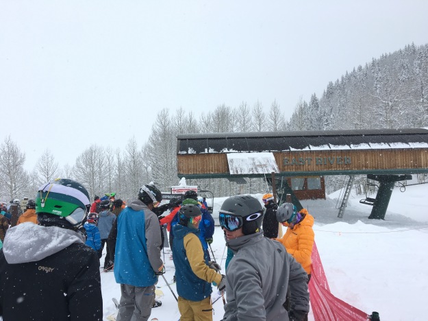
As part of their push to encourage tourism in Iceland, Iceland Air now offers a variety of one-day excursions that travelers can embark on whether they are visiting Iceland specifically, or taking a stopover on their way between Europe and North America.  These one-day tours offer a variety of options for experiences, including which places to visit and what types of activities to take part in.  For all of them, the general idea is the same; a bus picks tourists up at various hotels in Reykjavik, and gives visitors what basically amounts to a one-day “Taste of Iceland”.

My tour of choice was the Glacier Hike and Northern Lights tour, which offers a lot of what I was looking for out of my time in Iceland.  The Northern Lights is something I had never seen before.  In America, we hear about such phenomenon occasionally. Roughly once a year, we will hear in the news about a particularly strong solar event occurring, and the potential for the Northern Lights to be visible much farther from the North Pole than is typical.  Sometimes that zone would even reach the Northern parts of the United States, and news outlets would provide maps of where the lights could potentially be visible.

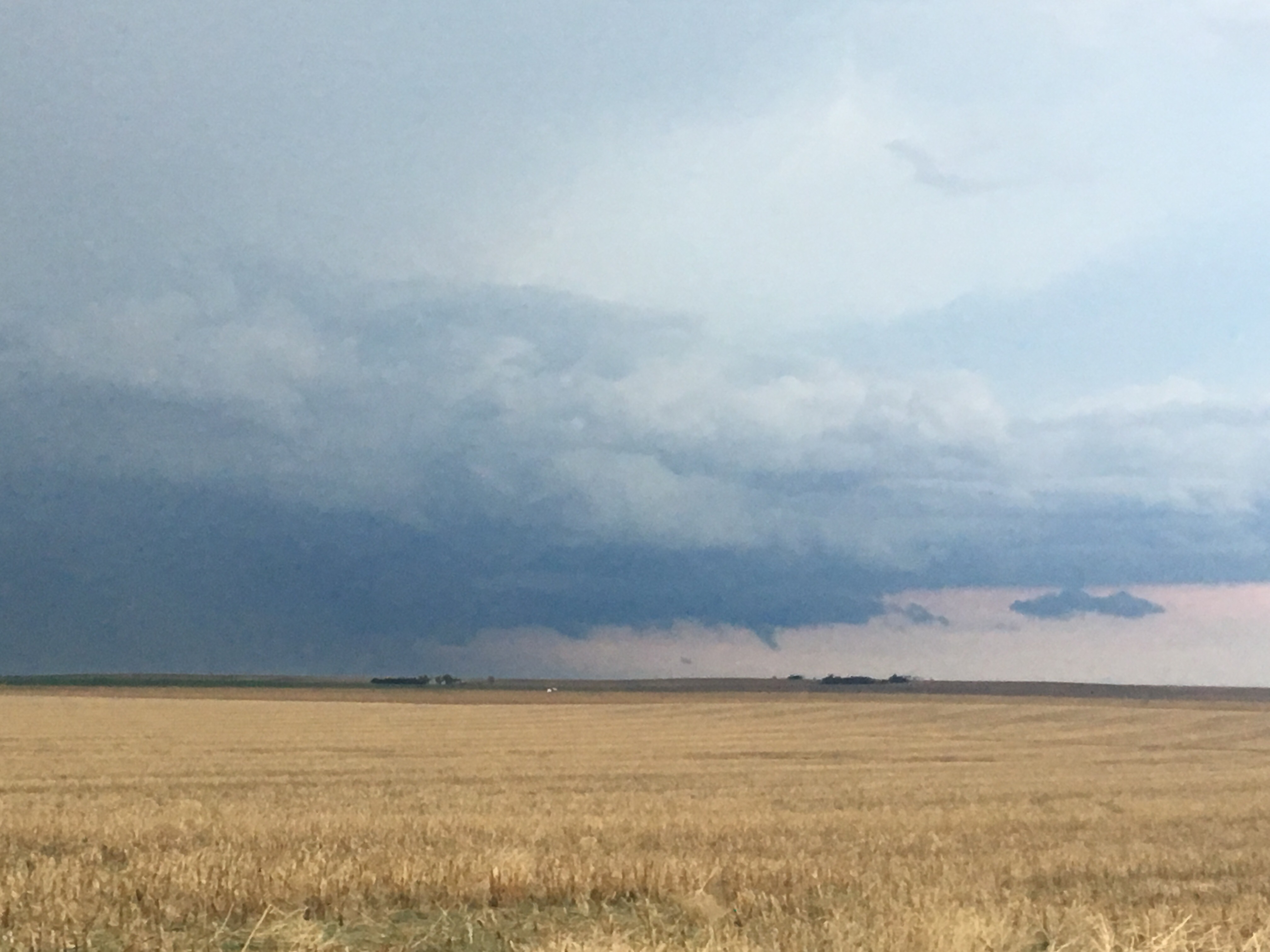
For years, living in Chicago, such stories would provide a particular brand of torment for someone that is curious about seeing the Northern Lights.  It is not possible to see the Northern Lights from such a large, lit up city.  One would need to travel somewhere less populated. To get outside the populated metropolitan area, I theoretically would be able to travel in any direction, but it makes little sense not to go North, as the lights get better the farther north one travels. However, North of Chicago is Milwaukee, and the area in between the two cities is populated enough to make it less than ideal for viewing the phenomenon.  So, the prospect of getting in a car and driving out to see the Northern Lights was always a multi-hour trip.  Some combination of time constraints, or frequent wintertime cloudiness in the Midwest always stopped me from driving up to Central Wisconsin (or Central Michigan) to try to see the Northern Lights.

The tour started like every one of the Iceland Air excursions, with a mid-sized bus going from hotel to hotel picking people up.  The bus went to about six different hotels to make pick-ups, finally leaving Reykjavik around noon.  The tour group was quite mixed.  There were a couple of other Americans, a few Canadians, and even two people from France on our tour, but the majority of the group was from Great Britain.  I have relatively little experience traveling to Europe (this trip, and a trip to Italy, Austria, and Germany in 2012), but on both occasions I ended up hanging out with tourists from the UK, specifically England.  I don’t know what that says about America, or who I am as a person, or if it is just due to a common language, but I am curious to see if that happens again next time I go to Europe.

IMG_5276.jpg

Driving East out of Reykjavik, towards Iceland’s South Coast area, the first thing I notice, which is common throughout Iceland are lava fields.  Across much of Iceland, the land is covered with ashes from previous volcanic activity.

IMG_5250.jpg

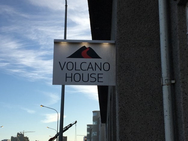
The previous day, I had learned at the Volcano House in Reykjavik that Iceland is one of the most volcanically active places in the world, as it sits on the ridge between the North American and Eurasian plates, which are drifting apart from one another.  In geologic terms, this is actually happening quite quickly.  On average, a volcano occurs somewhere on the Island once every 5 years, and as the plates pull apart, the Island is literally growing at a rate of 2 cm per year. 50 years from now, Iceland will be 1m wider than it is now!

IMG_5279.jpg

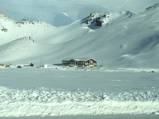
About 30 minutes into the trip, the bus passed by the hotel where one of the scenes in the 2013 film The Secret Life of Walter Mitty took place.  In the movie the volcano Eyjafjallajökull erupts, and Walter is lucky enough to have been picked up by a friendly local to escape before being covered in ashes. In real life, this gigantic volcano erupted quite explosively in 2010.  In the most unfortunate of circumstances, the wind happened to be coming from the Northwest that day, and the ashes covered the sky over Great Britain and much of mainland Europe halting air traffic for several days.

IMG_5286.jpg

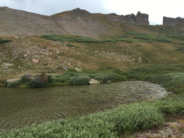
The next stop on this tour was Skógafoss, one of Iceland’s largest waterfalls. Iceland is not only a hot spot for volcanoes, but it is also a hot spot for waterfalls. This is due to the glaciers, which cover 15% of the land area of the island, the terrain and relatively moderate maritime climate. Waterfalls like this can be found all over Iceland, and they probably look even more amazing in summer, when the ground appears lush and green!

IMG_5295IMG_5287

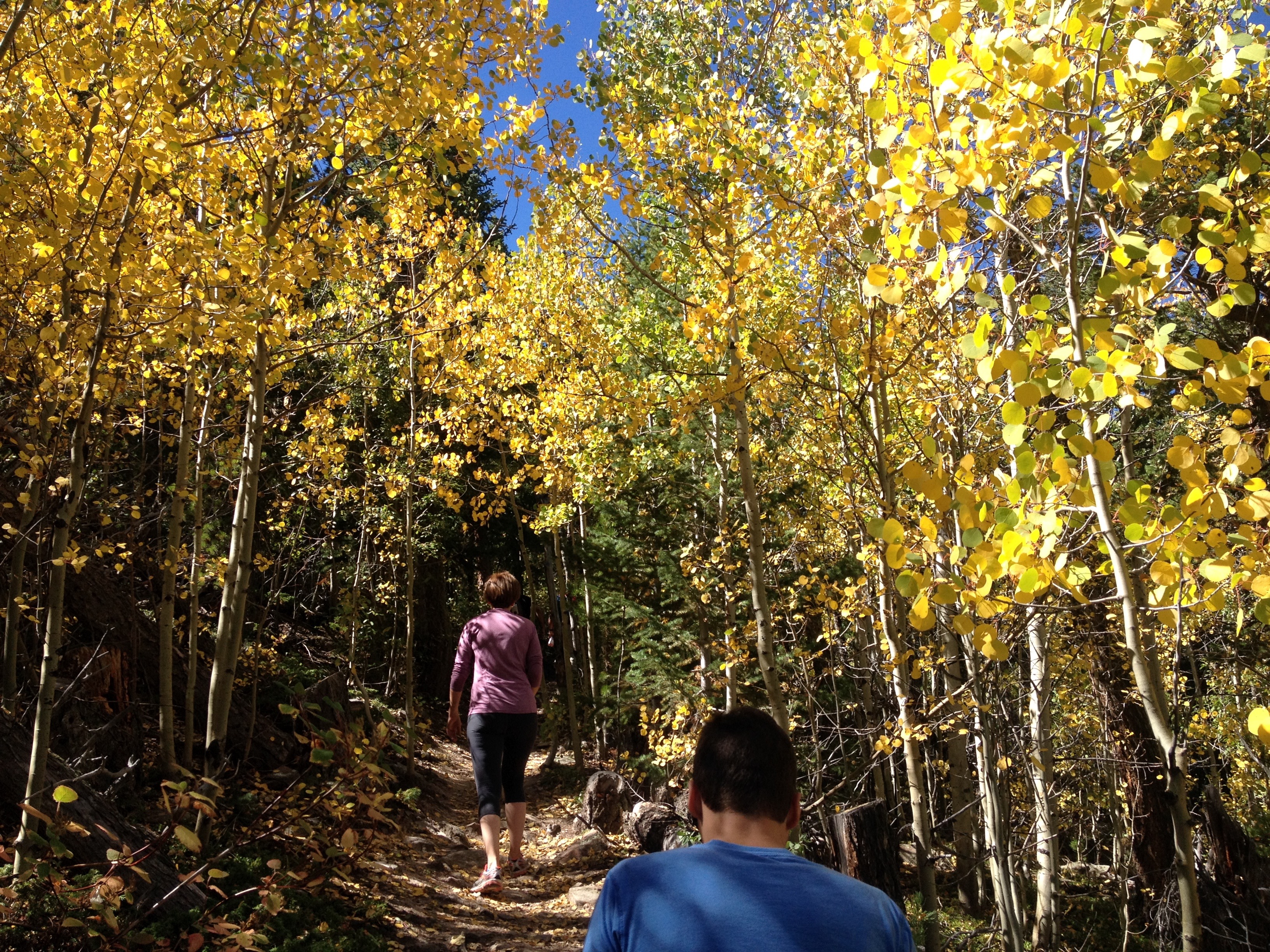
The main event of this tour, the Glacier hike, worked for me on multiple levels.  I love being outside, hiking and getting some exercise.  There are many times, when on vacation, I purposely try to find the most strenuous activities possible.  I especially do this when I am on a cruise or in some other kind of vacation package, where I know an activity does not need to be super challenging, or even that physically exhausting for them to be labelled as such.  I also got to try something new, hiking with crampons.  Now, I am not sure they were absolutely necessary for this particular hike, as back in Colorado I had hiked in areas that were steeper and more slippery and gotten by without them.  But, I did learn how to use them, how to attach them to my hiking boots, and how to walk with them on, a good thing to know for future activities down the road.

IMG_5298.jpg

In addition, the glacier, and what our tour guides told us about it was quite fascinating from a scientific perspective.  Apparently, this particular glacier is receding at a fairly rapid pace.  Along our hike, the tour guides pointed out where the glacier used to end in past years compared to where it ends now.  As recently as 2010, the glacier covered nearly all of the area near the entrance of the park that we traversed before getting onto the current glacier.  When this portion of the glacier melted, a gigantic lake was left behind in the lower lying area.

IMG_5302.jpg

The tour guides then informed us that we are actually witnessing a the formation of a fjord.  Roughly an hour into the hike, we had climbed to roughly 100m above sea level. However, the ice was thicker, somewhere between 150m and 200m.  Over time, the ice had pushed the land beneath it below sea level. Once these glaciers melt, the area will be under water, creating a fjord in this very spot.  This is one of many spots where this process is happening as we speak.

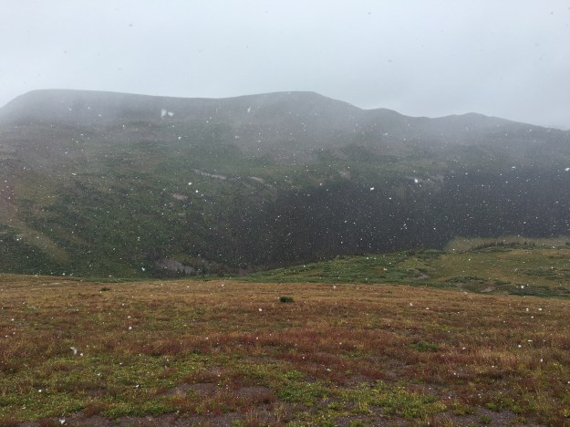
As a weather enthusiast, who had studied meteorology, I asked the tour guides what the primary mechanism was for the melting glacier.  Specifically, I asked if it was reduced winter snowfall or warmer summer temperatures.  They indicated that both were contributing factors, but also mentioned that, since temperatures in Iceland are commonly quite close to freezing, the area was starting to see precipitation fall in the form of rain (as opposed to snow) more frequently.  I could sense that, as even on this February day, the snow I stood upon was quite wet.

But that was not even the most fascinating scientific aspect of this tour.  Almost everyone is familiar with climate change, and it’s become the subject of sometimes-ridiculous debate.  The most fascinating thing I learned about this glacier is that fact that, due to the presence of volcanic ash, the glacier is creating terrain that is constantly changing.  Here, volcanic eruptions spill out on top of the ice, causing ice to melt faster in some areas.  The ice then flows in a manner that brings more ice into areas that are currently in “valleys”.  Even when there is no new volcanic activity, the cycle of ice flow and differential melting can happen rapidly enough that each year the terrain of any given section of ice is significantly different from the previous year.  Literally, if I were to return to Iceland at the same time next year, and come to this very glacier, the hike would be significantly different, as the terrain would have been significantly modified.  Amazing!

The glacier hike concluded a little after sun down, which was right around 6:00 P.M. After the hike, the tour bus took us to a hotel restaurant in the area for a traditional Icelandic meal.  To my surprise, the meal did not involve fish.  For some reason, I had this impression that since Iceland is an island in the North Atlantic, it would be a place where almost every meal consisted of fish.  Instead, the traditional Icelandic meal was a hearty meat soup.

IMG_5329.jpg

On the tour bus, I learned that the Icelandic cow, which is a special breed of cow that is smaller than the ones most of the world is familiar with is quite popular on Icelandic farms (they actually once voted in favor of keeping the cow over switching to a more efficient Norwegian cow).  In addition to these cows, many farms also keep lamb and sheep.

IMG_5331.jpg

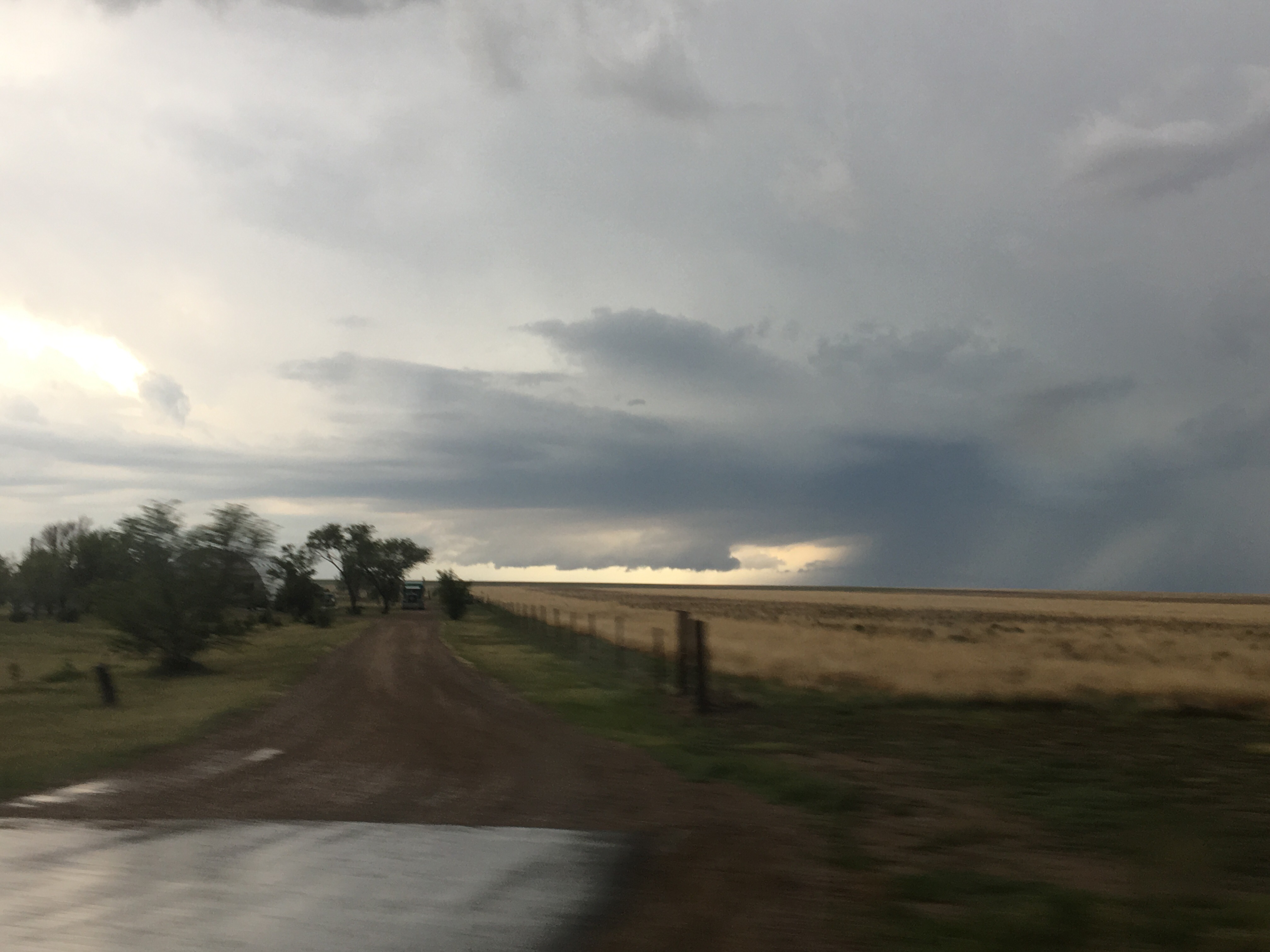
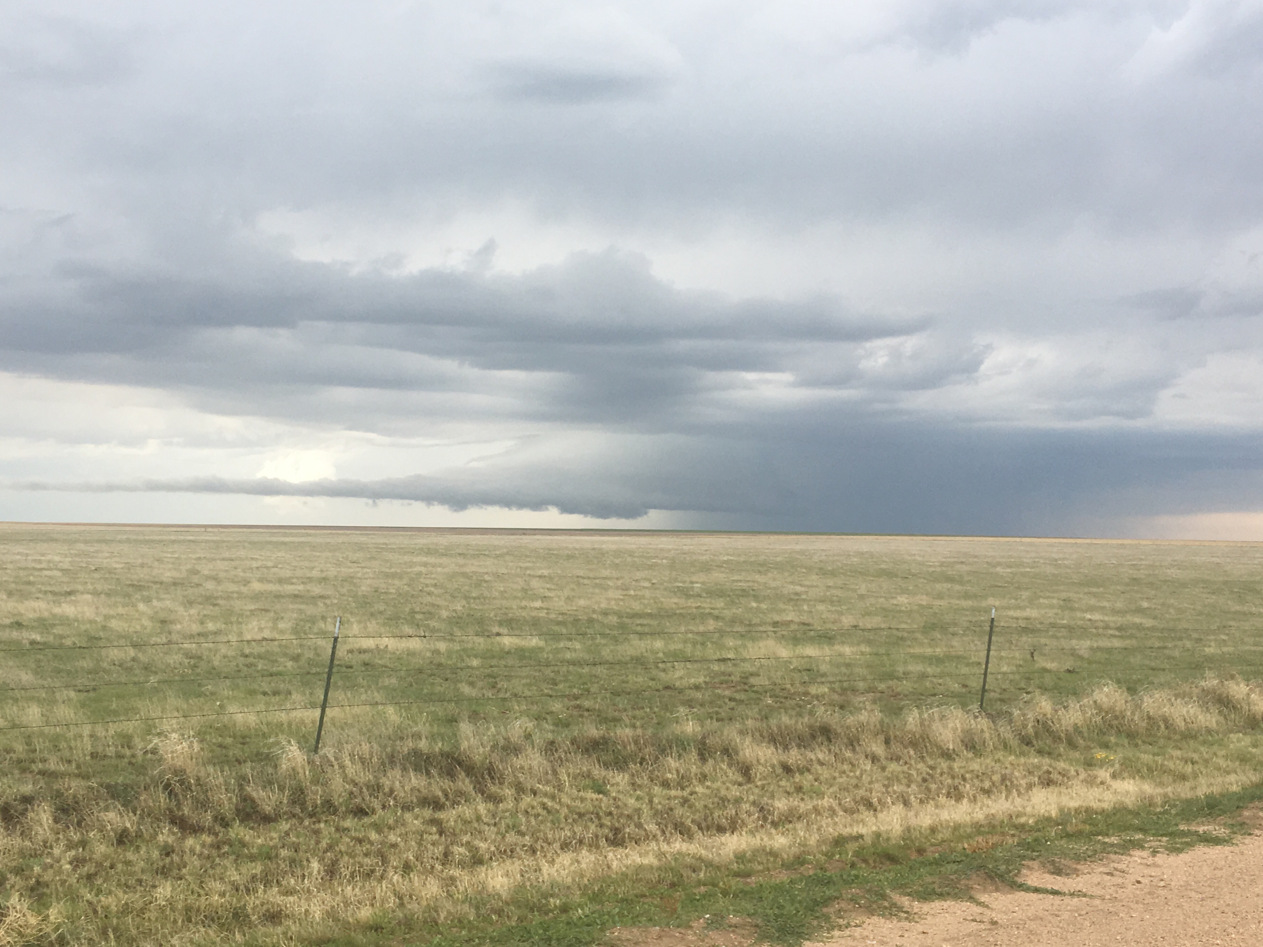
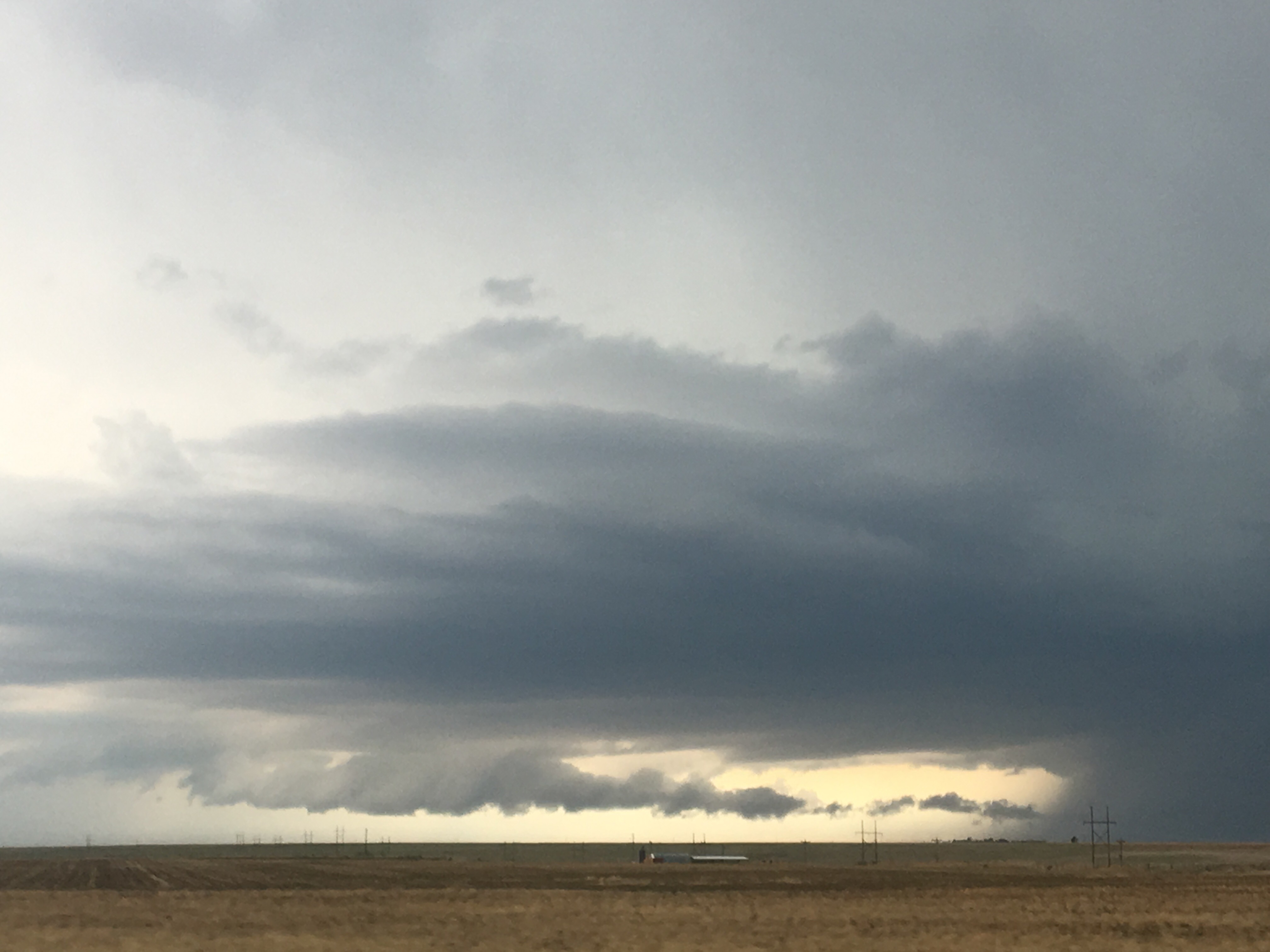
After dinner we drove in search of an ideal place to view the Northern Lights.  This involved driving around and looking at weather conditions in a manner that actually seems reminiscent of storm chasing.  We drove around for hours, and every time it felt like we had found the right conditions (i.e. clear skies), something would change.  At one point, sometime between 9 and 10 P.M., as drove through an area where it suddenly started to snow!  At 11:30 I was in despair.  We were clearly headed back into Reykjavik, and I thought we were just going back to the hotel.  After all, the tour does not guarantee that the Northern Lights will be seen.  It can’t be guaranteed.  The weather is always changing, and the solar activity, which leads to the Aurora phenomenon, is also quite variable.

Oddly enough, though, just after midnight, we pulled into a pier on the far West end of town, along the shores of the Atlantic Ocean, on a peninsula.  Our tour guide informed us that we would now be able to view the lights, and, sure enough, they appeared. I was unable to capture them on camera in a manner that would do this amazing natural phenomenon any justice.  I mostly just sat there, in awe, watching the lights glow and move from side to side along the horizon.  I thought about how amazing this phenomenon was.  I wondered if people who lived here took it for granted, noticed it less, the same way many people become less appreciative of what is in their own back yards.  At the end, I just thought about what an amazing day it was, from when the tour began, over twelve hours ago, until now, ending with this amazing light display.
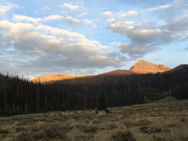
Life in a Northern Town

IMG_5245.jpg

It’s 8 AM on a Thursday morning in Reykjavik, Iceland’s Capitol and largest City.  The sun has yet to come up, as this far north (64 degrees latitude) days are still quite short in the middle part of February.  A quiet dawn persists over the town for nearly two hours, from 8 to about 10.  A couple of local teenagers are hanging outside the grocery store.  A group of tourists can be seen hanging outside one of the few restaurants that are open.  Otherwise, the streets are quite empty, and the shops are mostly closed.

IMG_5248IMG_5246

It’s odd because, in many most major cities, 8:00 is the peak of what is often referred to as “rush hour”.  It is a time of people hurrying to and from train stations, and crowding highways trying to get to work.  Even in the more touristy sections of cities, which this most certainly is, a lot of motion can still be found at this hour.  At places like Chicago’s Michigan Avenue, and New York’s Time Square, which are utterly packed with tourists nearly every day, there are still plenty of people to be found at 8:00 on a weekday morning, mostly people headed into work.  Here, that culture just does not seem to exist.  Are all the office jobs elsewhere?  Do people have office jobs?  Do they work different hours?  Or is the economy so heavy on tourism and fishing that there is just no point in being awake at an hour when all the tourists are likely still asleep and the sun is not out?

By noon, things start to pick up.  On some days, the sun comes out and hits the harbor.  At this latitude, when it hits the harbor, it hits it in a way that seems to highlight every single feature, from the boats in the harbor to the snowy mountains on the other side.  From the perspective of someone that has always lived in the mid-latitudes, is feels neither like mid-day nor twilight.  It is a different feeling altogether, and those who take a pause from their tourist itinerary and truly soak up the moment are reminded as to why it is worthwhile to visit different places in the first place; to see something, experience something, do something that cannot be done at home.

The day progresses.  Tourists fill streets whose names are too intimidating to even try to pronounce, make their way into the bars, the restaurants, and the dozens of souvenir stores that feature a gigantic stuffed puffin in the window.

The weather inevitably changes- but, well it doesn’t.

IMG_5350

There is this saying, “if you don’t like the weather, wait 5 minutes, it will change.”  Anyone that travels on a regular basis to places outside the tropics has most likely heard the phrase too many times to count.  It is used here.  At souvenir shops, mugs and shirts about Iceland sport the phrase.  And, it is true to some extent.  At any moment, it can turn from sunny to cloudy, or suddenly get windy.  But, the temperature does not vary too much.  On a four day trip to Iceland, the temperature, including daytime and nighttime, seemed to only vary between a few degrees below freezing and a few degrees above freezing.

Regardless of these changes, winter in Iceland is consistently cold and damp.  For this reason, one of the most popular items made in all of Iceland are wool sweaters.  While any visitor to Reykjavik can find these sweaters for sale all over town, the best deals on them are found at the Kolaportid Flea Market.  Even at the Flea Market, though, they can be quite expensive, the equivalent of roughly $100.  Money talks, and it is easy to figure out what a certain culture values by seeing what they are willing to spend money on.  Coloradans are willing to spend thousands of dollars annually on ski equipment.  Icelanders are willing to spend money on a warm wool sweater.

IMG_5348

Reykjavik’s population is only just over 200,000 people.  In fact, the population of all of Iceland is 330,000- significantly less than every borough of New York City, even Staten Island.  Yet, it is a place that knows how to party!  The nightlife is surprisingly good- probably better than many towns 2-3 times its size!

Making up for the lack of action at 9 in the morning, festivals, shows, and clubs give locals and tourists alike plenty to do in the nighttime hours.  Iceland has been promoting tourism quite hard since the economic collapse of 2008, which hit Iceland particularly hard.  Iceland Air has been particularly active in promoting tourism, by adding direct flights to more places in both Europe and North America, possibly with the goal of becoming a preferred airport for making connections while traveling between Europe and North America.

IcelandAir_Map

Looking at this map, it is hard not to imagine an executive with Iceland Air looking at at map, possibly even Risk the board game, and thinking of this grand plan to become a connecting point between the continents.

Well, it’s working.  Recently, more people talk about Reykjavik being their favorite place to make flight connections, and more and more people seem to have visited Iceland.  At this point, in Reykjavik, it is probably impossible for locals and tourists not to interact with one another in some way, especially at clubs and shows.

After hours of partying, all of a sudden it is 4 AM.  Many clubs still have lines to get in!

At 5 AM, on the streets, music can still be heard coming from multiple directions.  In fact, by this hour, it almost becomes easier to find a place to eat than it was at 9 AM on Thursday morning.

Sometime in the next few hours, the blurry memory of a fun filled night fades into the next morning, likely to be delayed through at least part of that lengthy twilight period.  In my particular case, it faded into the realization that it is now noon, and Millions of New Yorkers (where the local time is 7 A.M.), despite the time difference, have woken up before me on the other side of the Atlantic!

IMG_5346

I only spent four days in Iceland.  I do not know the full extent of life in this nearly arctic city of Reykjavik.  I only know what I experience in this short period of time, where I did the best I could to experience the local culture.  Regardless, it does appear quite different from any place I have ever been.


Places that Used to Be

IMG_4573

Many different types of images come to mind whenever anyone talks about “ghost towns”.  I think of all of those images of abandoned, and partially decayed buildings that are pictured on the cover of books about ghost towns.  I think of that abandoned cabin you see while on a hike.

IMG_4329

Sometimes I think back to the recently abandoned town in West Texas I passed through a decade ago on a storm chase.  I even think of other, more recently abandoned, “21st Century” ghost towns.  Heck, sometimes parts of Detroit even come to mind.

But something felt creepy when I came across the site of not one, but three towns that used to exist, as recently as the middle part of last century.

IMG_4574 IMG_4575 IMG_4576

I looked around in all directions.  There were no buildings at all, not even one of those rotted out wooden buildings that appears to be on the verge of collapse due to neglect.  I looked far and wide along the valley for some sort of evidence that there were three whole towns in the area as recently as the 1960s.  Maybe an abandoned platform along the tracks.  Or even piles of wood, or rocks.  Nothing!  The only evidence anyone passing along this route would have that there ever was any human civilization in the area is a historical marker that marked what once was the site of the highest masonic lodge in the U.S.A.  It’s creepy enough that these towns appeared to be completely erased out of existence.  But, the only indication that these towns ever actually existed is due to the Masons, a secretive organization that many also find creepy.

Three miles up the road, is Fremont Pass, another place with echos of the past.

IMG_4577 IMG_4578

Fremont Pass, it appears, is home to another “ghost town”, the town of Climax.  Here, I at least found some evidence of this town’s existence.

IMG_4579

This particular location played a significant role in history on two occasions.  As indicated by the historical marker, the Continental Divide is the western boundary of the Louisiana Purchase.  In fact, this very location was an international border from 1803, when the Louisiana Purchase was signed, until 1821, when the Adams-Onis Treaty established slightly different borders between U.S. and Spanish territory.  The border would remain in a somewhat nearby location until the conclusion of the Mexican-American war in 1845.

Later, the Climax Mine would play a pivotal role in the U.S. efforts in both World War 1 and World War 2, as it sits on one of the largest deposits of a little known substance of molybdenum.  To be completely honest, I have no clue what molybdenum is.  All I know is that it is one of those middle elements on the Periodic Table, which, I am guessing is more than the average person knows.

What I did gather, though, was that like the three other ghost towns in the area, this is a place that was significant, actually quite significant, at a point in our history, but now it is basically gone.  In fact, the only real reason I know about Climax is related to one of my other projects.  I recently created an algorithm to calculate seasonal normals at any given point in Colorado for the purpose of planning out activities across this beautiful state.  To develop this algorithm, I needed to find as many reliable weather observation sites in places with different geographical features as possible.  Climax, it turns out, is the site of one of the highest reliable CO-OP weather stations.

IMG_4580

Not only was this weather station particularly helpful in developing that algorithm, it is also a great source of information regarding snowpack conditions at high elevations for the purpose of avalanche forecasting, as well as determining where to hike or snowshoe.  So, although that molybdenum plant re-opened a few years ago, in my world, this weather station is currently Climax’s most significant attribute.

The fact that places both rise and decline in significance is not a new concept.  Places like Egypt and Sumeria formed the cradle of civilization, only to eventually cede that power to other cities and regions.  Similarly, in today’s United States, we are currently seeing places like Texas and Florida gain province, while parts of the Northeast and Midwest decline.

This particular situation is strange though.  When I think of the “Fall of Rome”, for example, I think of a process that occurred over roughly two centuries.  The ghost towns near Freemont Pass were culturally significant a mere half a century ago.  Today, they are all but vanquished from existence.

I am also not accustomed to seeing this process occur over such a small spatial scale outside an urban area.  Most of Colorado is thriving, particularly the mountainous part of Central Colorado.  These three erased towns are only ten miles up the road from Copper Mountain Ski Resort, a resort that is so popular that it one of only three ski resorts to receive its own detailed forecast from OpenSnow (the other two are Steamboat and Vail).

IMG_3204

Roughly ten miles or so in the other direction, is Leadville, a former mining town that also appears to still be doing quite well for itself.

IMG_4581 IMG_4583

When I think this all through rationally, I understand why the civilization left the Fremont Pass area.  The economy was largely driven my one obscure material.  When the price for that one material declined, the entire economy left.  Sometimes, though, it takes some time for information to process through the logical mind.  My gut reaction was still one of disbelief, as it still definitely feels strange to see a set of towns decline so quickly to the point of non-existance in a region that as popular and ascendent as Central Colorado.

What to Expect from winter 2015-16 in Colorado

Forecasting the weather weeks to months ahead of time can often be problematic. Computer models that project atmospheric conditions into the future typically only provide utility out to 10-14 days, depending on who you ask. After that, forecasts often become erroneous due to what is often referred to as the “chaos effect”. In fact, there are many that believe that forecasting the weather for a specific day is only useful out to roughly 7-10 days. Most people manage their weather expectations beyond the 7-10 day horizon not by forecasting a specific event, but by describing more general expected trends.  It is more common to say something like “It is likely that the period from 14-21 days out will be warmer and drier than normal across much of the Western United States”.

Scientifically credible seasonal forecasts tend to rely on larger scale phenomenon that have been shown to impact our weather in the past. Luckily, for this upcoming season, the winter of 2015-16, there are two such phenomenon that could give us some significant foresight into what we could expect out of this coming winter.

The first, and most obvious one is the strong El Nino that is already underway. Strong El Nino conditions typically bring wet weather to the Southern United States due to a strong sub-tropical jet stream. In particular, California can be the recipient of some heavy rainfall, which hopefully can help give the state some much needed relief from the extreme drought conditions than have been experiencing. The other major impact, on a national level, is that the Upper Midwest and Northern Plains tend to have milder than average winters during strong El Ninos.

El_Nino

Unfortunately, maps like this one often make it ambiguous as to what impact El Nino typically has on the weather here in Colorado. On this map, as well as nearly every map of El Nino impacts, Colorado is in kind of a neutral zone, where areas to the south are wetter than usual, and areas to the north are drier than usual. However, as any resident of Colorado knows, Colorado’s rugged terrain has a significant impact on the weather here. Therefore, it is possible to discern some more local impacts that occur here in Colorado, as different large scale wind patterns are impacted by Colorado’s many mountain ranges. There are many sources of information regarding how Colorado fares during a strong El Nino year. Below is a graphical summary of these impacts.

ElNino_Colorado

In addition to El Nino, there is another major weather feature that could have a profound impact on our weather this winter. Not only are there warmer than normal ocean temperatures along the equator associated with the strong El Nino, but there is another section of extremely warm ocean temperatures in the Pacific Ocean farther north. This section of warm temperatures off the west coast of North America is being labelled “The Blob”. “The Blob” formed due to a persistent period of warmer and drier weather over the past several years. This is the weather pattern that lead to the extreme drought in California in the first place, and, now threatens to keep much of California in drought conditions despite the El Nino.

Oct2015_SST

The easiest way to describe the impact “The Blob” is going to have on our winter weather is that it is going to try to produce conditions similar to last winter. Last winter was warm and dry over much of the West due to a persistent ridge, labelled “the ridge of death” by snow enthusiasts at OpenSnow, which is often associated with warmer sea surface temperatures off the Pacific Coast of North America.

While it is hard to imagine “The Blob” completely overwhelming the impacts of this historic El Nino, it does have the potential to modify them. Firstly, it could make the Pacific Northwest drier, and reduce the amount of rainfall California receives, particularly Northern California. Over Colorado, more frequent ridging, and/or dry Northwesterly flow aloft will reduce the likelihood of major Front Range upslope snowstorms, and increase the likelihood of a drier than normal winter over parts of Central Colorado, including many of the major ski resorts such as Vail, Breckenridge, and Copper Mountain. Those who hate extreme cold, though, will be comforted by the fact that the likelihood of sub-zero conditions across most of the state will be significantly below average this season.

Summer Persists

IMG_4449

I have been fascinated by the weather my entire life.  When it comes to our atmosphere, there is always something interesting going on.  The weather seems to find a way to continue to surprise people, behaving in different interesting ways each season, each year, each decade.  Our lives are impacted by the weather every day.  It is something that is impossible to ignore.  It is always on our minds, particularly for those that of us that love travel and outdoor activities.

At times, our plans can be frustrated, or even cancelled by changes in weather conditions.  It is the early season baseball game that was cancelled due to a freak April snowstorm.  Or the ski resorts in Lake Tahoe that had to close due to the lack of snow.

At other times, unexpected opportunities can arise.  I remember one year, when I was in college in Northwest Indiana, a place that is typically quite chilly in the wintertime, we had a series of unexpected 60 degree days in late January.  I unexpectedly found myself in Lake Michigan (albeit only knee-deep) on the 27th of January, a time of year I could normally expect to be huddled indoors.

Across much of the country, the story this September was the persistence of summer.  Some places are experiencing one of to their warmest Septembers on record.  Here in Denver, it has been the same story.  September’s temperatures this year, largely resembled what is typical in August.

Denver_Aug_Sept_2015

A sensible response to hot weather in Denver is to travel up to the mountains, where it will be cooler and more comfortable.  So, in addition to my hike near Breckenridge on the 11th, I made trips up to the mountains both of the following weekends.

September 19th was a repeat hike, to Windy Point at Golden Gate Canyon State Park, which is actually less than an hour’s drive from Denver.  The first time I hike this particular trail, in October of 2013, the upper portions of the trail were already covered with snow.

IMG_1163

This time, I got to experience the trail without such snowpack.

IMG_4435 IMG_4430 IMG_4429 IMG_4414

My other late season hike in the mountains involved a trip to a place I had never been before, but had been meaning to check out for quite some time, the Fourth of July trail outside of Nederland.

IMG_4467 IMG_4465 IMG_4474 IMG_4478

This hike in particular, on September 26th, represents the kind of opportunity that would not have been available had it not been for the unusual resistance of summer.  This trailhead is at an elevation of just over 10,000 feet.  By late September, one would expect high temperatures only in the mid 50s at this elevation, and not the warm conditions we experienced that day.

IMG_4477

One thing I have come to notice during periods of abnormal weather is how the trees never seem to be fazed by the abnormal conditions.  In the Midwest, when we would have a mid-winter thaw, like the one I had perviously mentioned, none of the trees would start growing leaves or anything.  They would continue to stay the course, knowing what to expect from the rest of the season.  Here in Colorado, the trees are still changing colors largely on schedule, with the later part of September being peak season for fall colors at these elevations.

IMG_4483

I have actually come to realize that the most magnificent fall colors occur when there is a warm and dry fall.  As it was last year, without windy, rainy, or even snowy weather early in the year, the leaves stay on the trees longer.

IMG_2733

In a month where we sweated through 90 degree weather for Tour de Fat,

IMG_4372 IMG_4391

And one could attend a concert at Red Rocks without needing a jacket,

IMG_4442 IMG_4448

It is hard not to feel as if summer just has’t ended yet.  We simply got to experience summer longer than anticipated.

Whether it be a season of the year, like winter or summer, or a chapter of our lives, we all anticipate change.  We know that a change is destined to occur, and often have an idea in our heads as to when that change is destined to occur.  However, sometimes, changes do not happen at the time they are anticipated.  Sometimes in life, we are caught off guard by an unexpected change before we had fully prepared.  We all have heard of at least one person who had endured an unexpected layoff, or an unplanned medical emergency.  Other times, as is the case with the switch from summer to autumn across much of the United State this year, it takes longer than anticipated for the next chapter of our lives to begin.

As someone who loves hiking, cycling, and water sports, and is generally not too negatively impacted by hot weather, it is easy for me to welcome the unexpected extra month of summer.  It is easy for me to say, in this case, that the best way to handle this delay, in the transition from summer to autumn, is to go out and enjoy it, take advantage of the opportunities, and be patient for the next season to start.  But, I know that this is not the case for everybody.  I also remember being the one frustrated by the lack of change.  I remember one March in particular, when I was living in Madison, Wisconsin, that winter just seemed to never end- and I was beyond sick of it!

Fall is going to come.  According to the weather report, by this coming weekend, October 2nd and 3rd, most of the country will be experiencing weather more typical of fall.  Those that have grown tired of the heat, although they had to wait longer than expected for the cooler air to come, knew all along that it would, and that the changing of the season is inevitable.

IMG_4490

At some point in time, we all end up in a place where we feel our lives have stagnated.  We enter a place where our current situation, whether it be our job, or what we are doing on a day-to-day basis, has simply run it’s course.  We have gotten what we need to have gotten out of the experience.  Maybe it has become frustrating, or maybe it is just simply not inspiring to us at all.  In these situations, the cycle of winter-spring-summer-fall we all live through on an annual basis serves as a reminder that the change we desire is inevitable.  Sometimes it just takes longer than we had hoped.