Category Archives: Cycling

Testing Our Limits

IMG_3247

A good friend of mine once told me that nearly all people are capable of much more than what they believe they can do.  And that, in fact, when challenged, most would actually be surprised by what they are physically able to do once they have been pushed to their very limit.

When it comes to most activities, people generally tend to stop when tired.  After all, exhaustion is generally an unpleasant experience for most, and has the potential to make an activity no longer enjoyable.  However, from time to time, life issues some kind of challenge that forces us to give everything we have, way beyond what we had been wanting to give.  Most of us have experienced that unexpectedly challenging assignment in college that forced us to “pull an all nighter”, or had to tend to someone they truly care about at a time when completely exhausted.  It is at these moments, when we completely drain ourselves, that we figure out the true boundary of what we are capable of.  And, for physical activities, such as cycling, it is when our bodies actually physically begin to give out on us, that we truly understand what we are capable of doing.

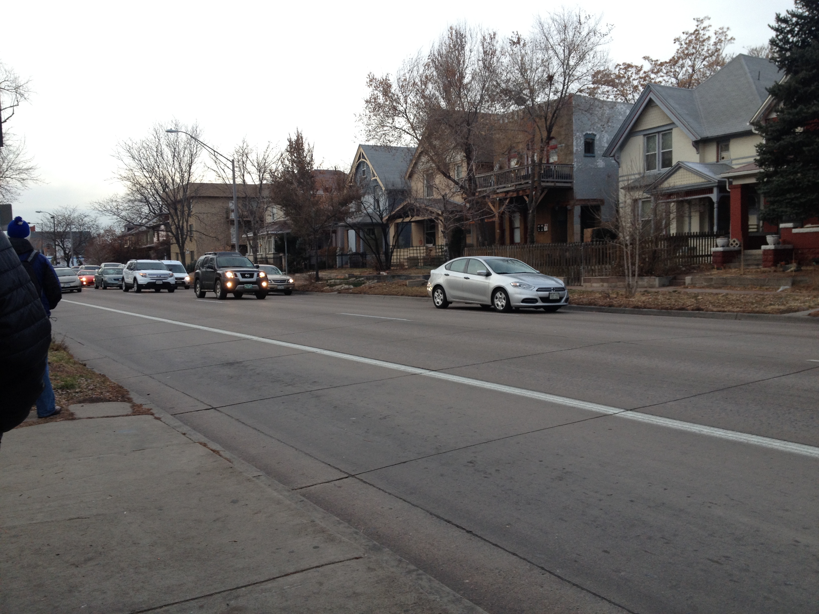
Heading into a new season, I decided it was time to challenge myself.  Monday, I had an entire day available with no prior engagements, so I decided to take on a ride that would potentially test the limits of my endurance at its current state; A bike ride from Denver to Castle Rock, and back, in one day.

IMG_3241 IMG_3259

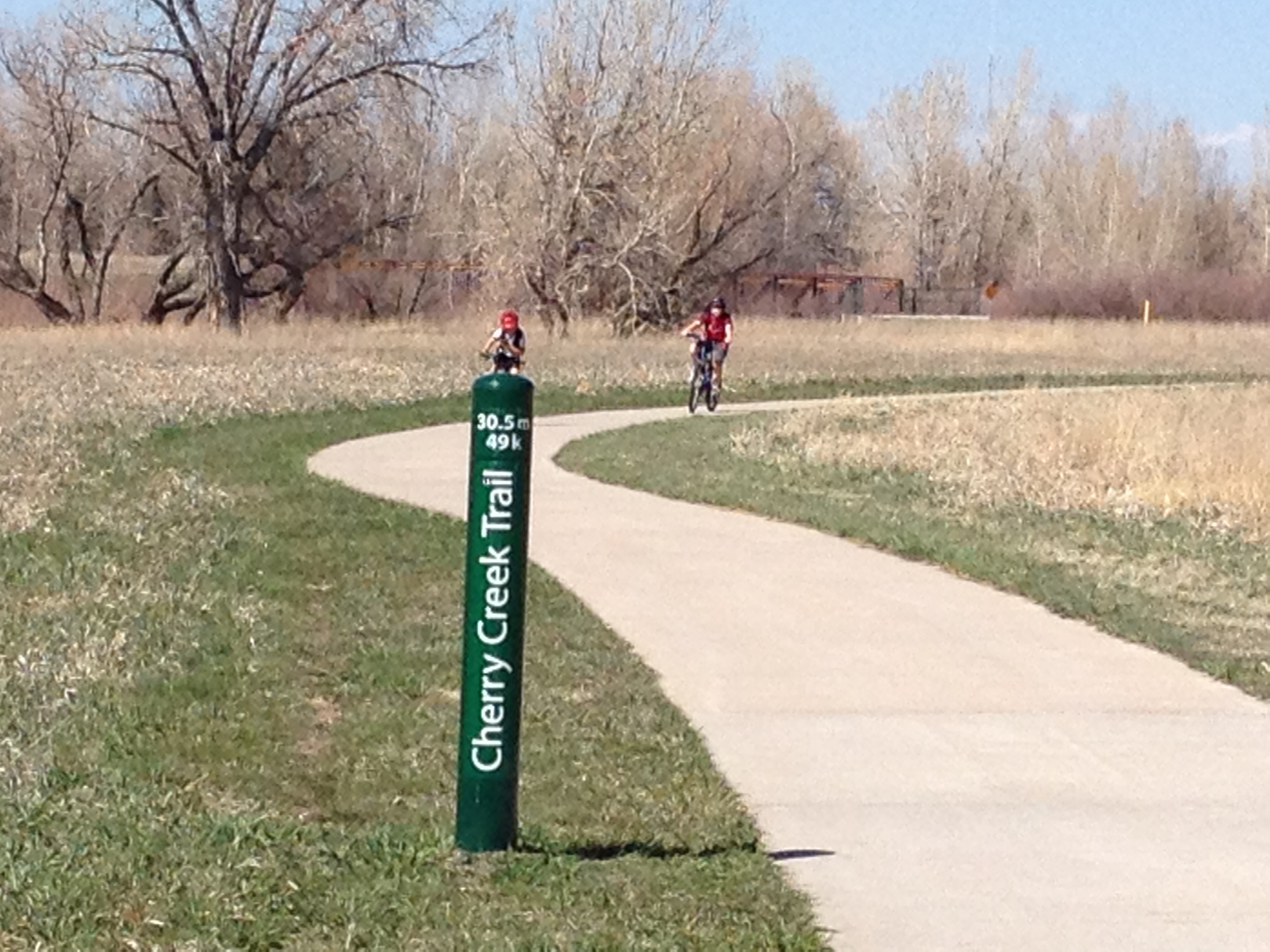
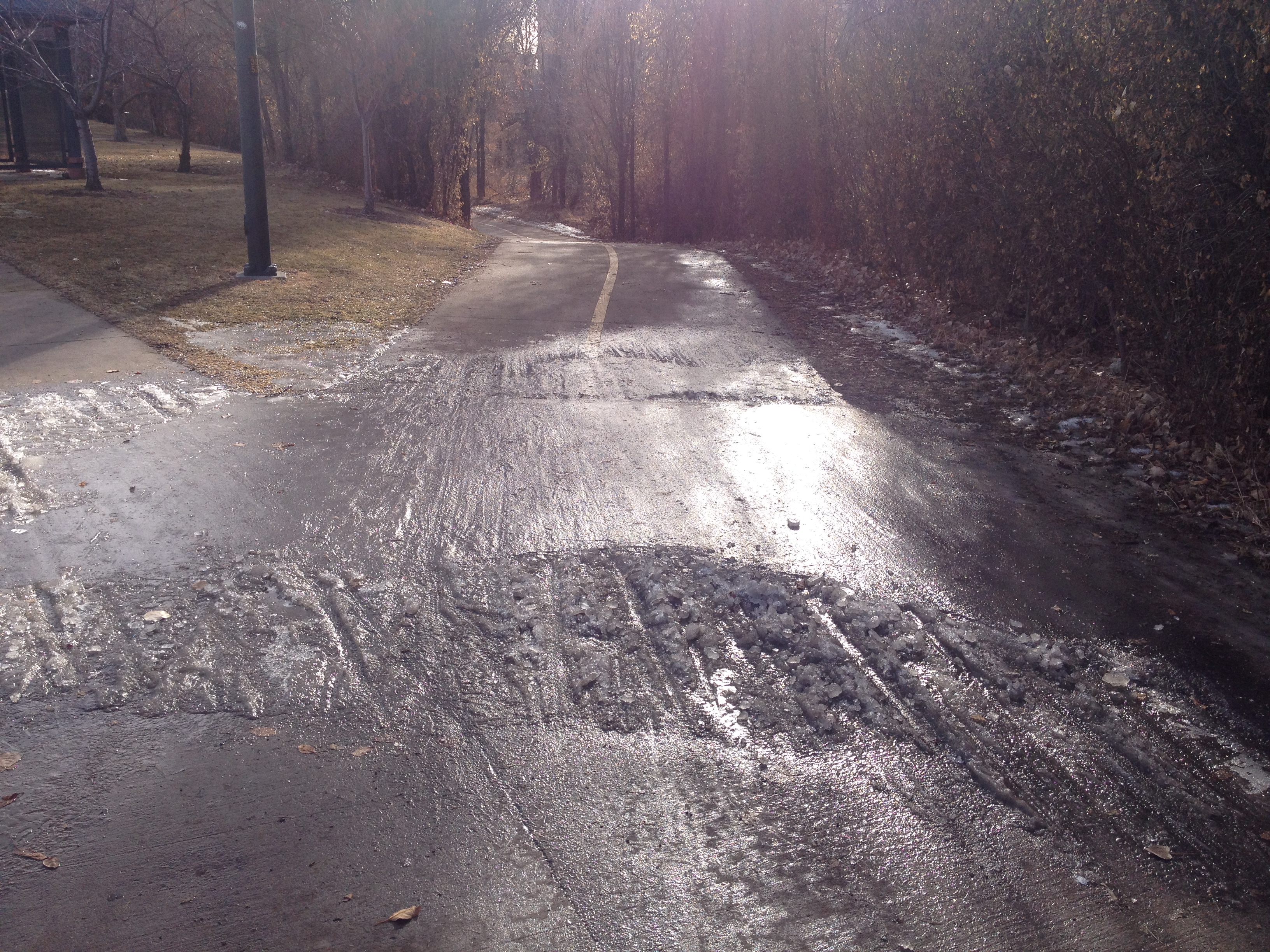
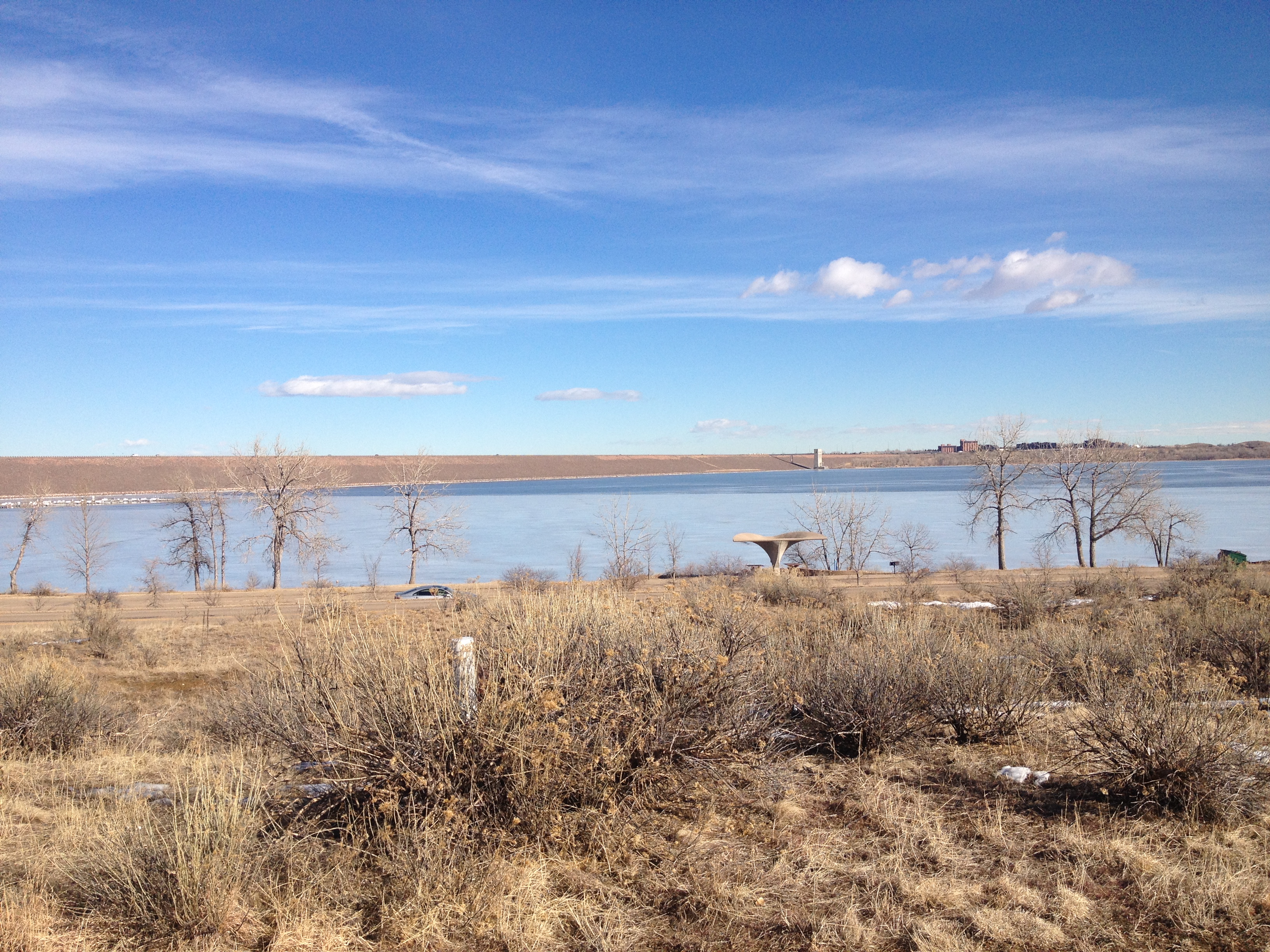
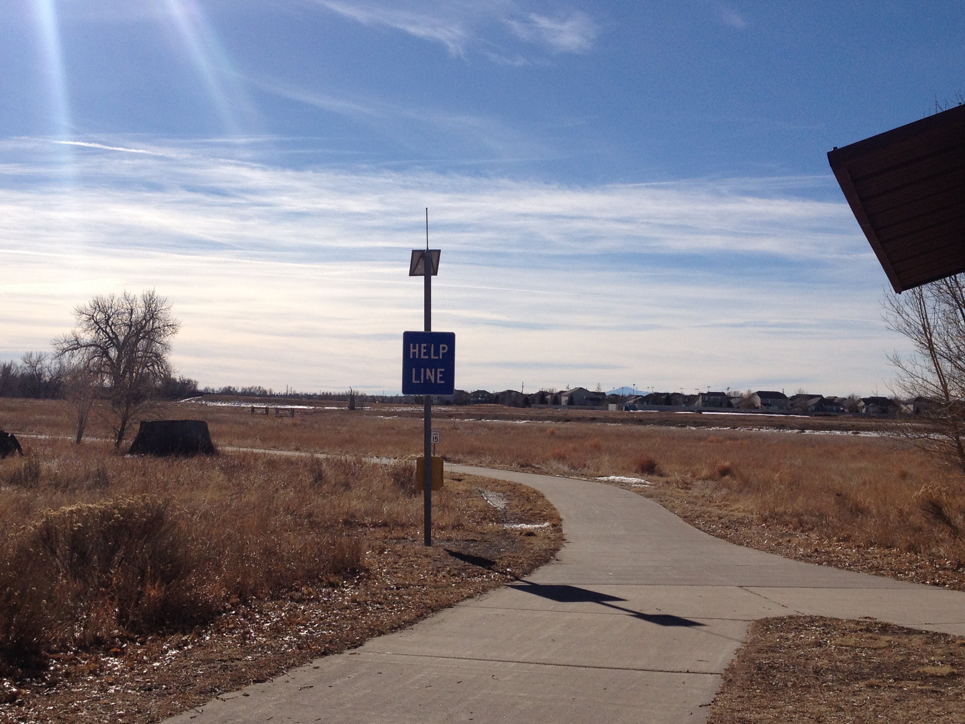
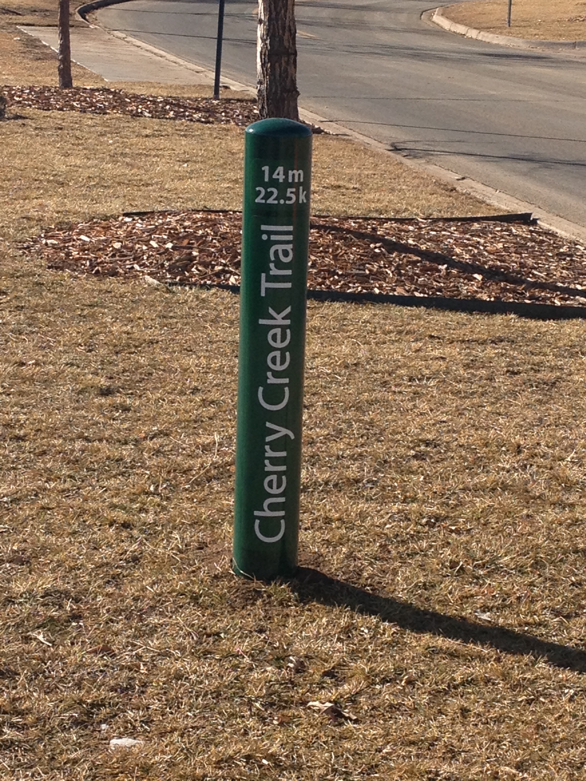
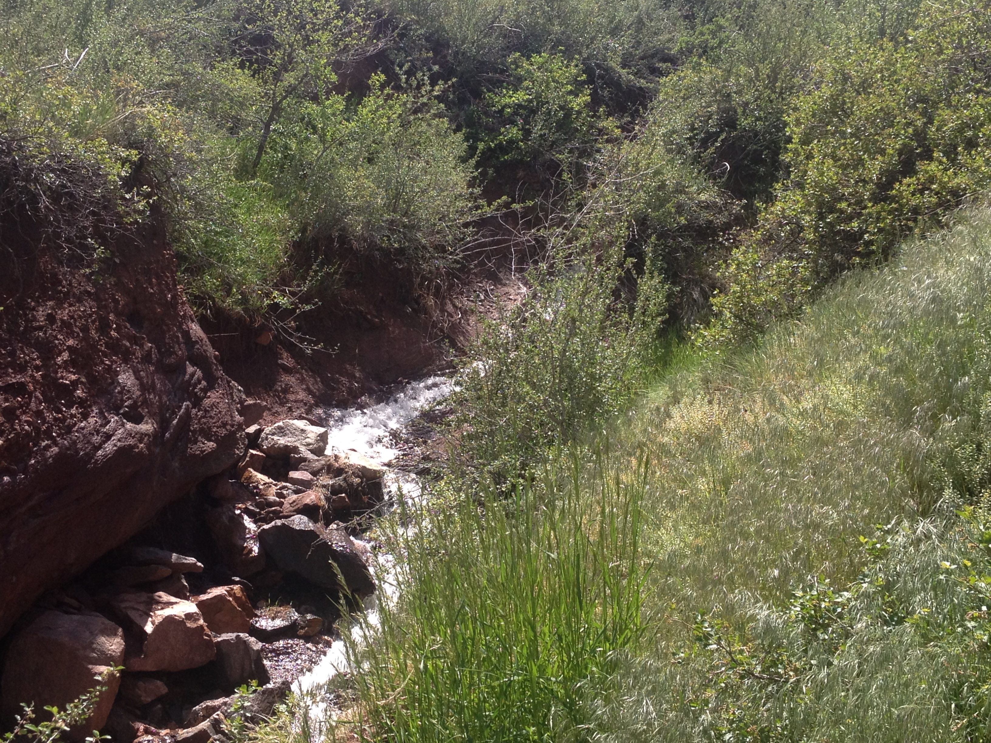
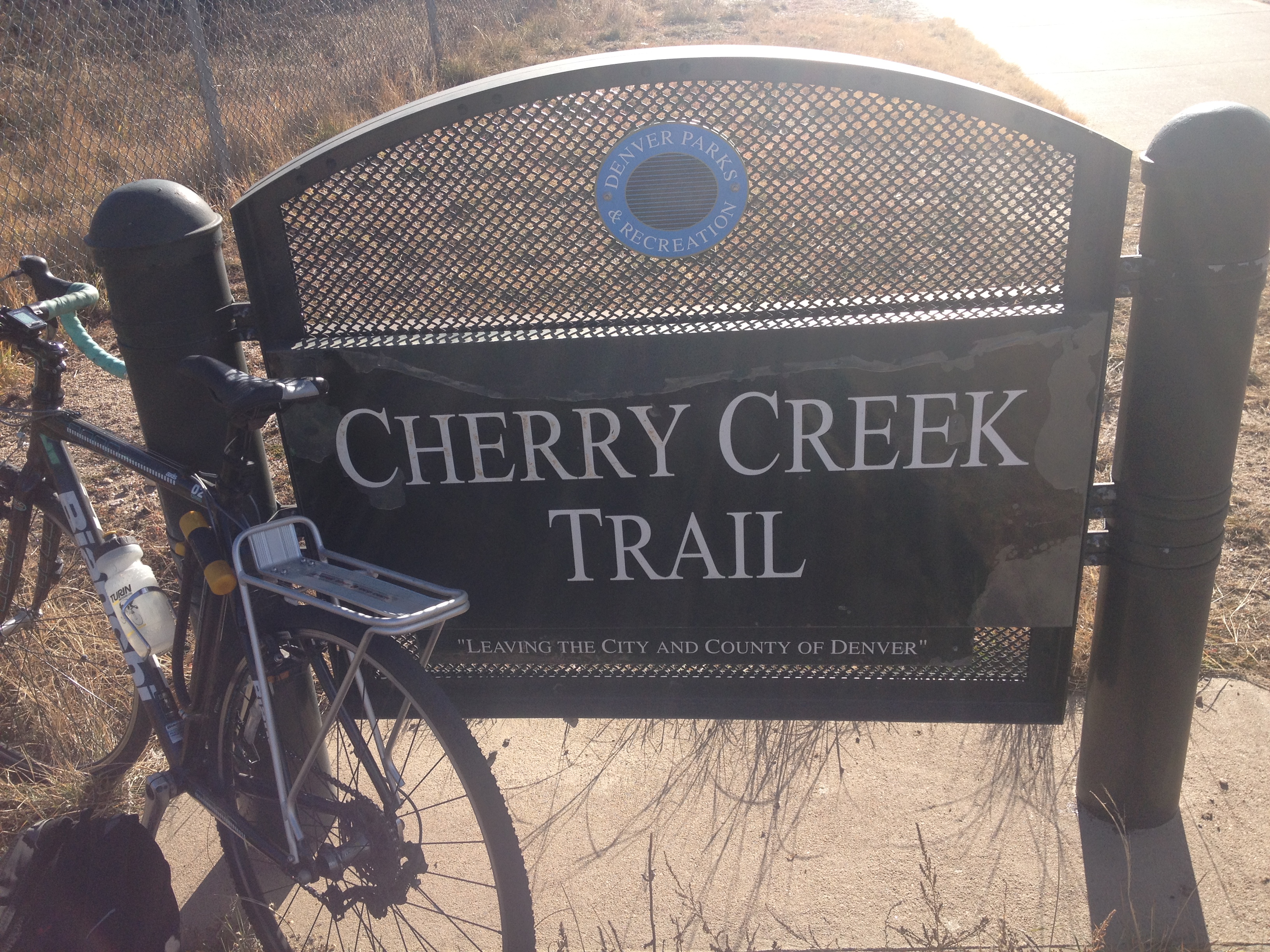
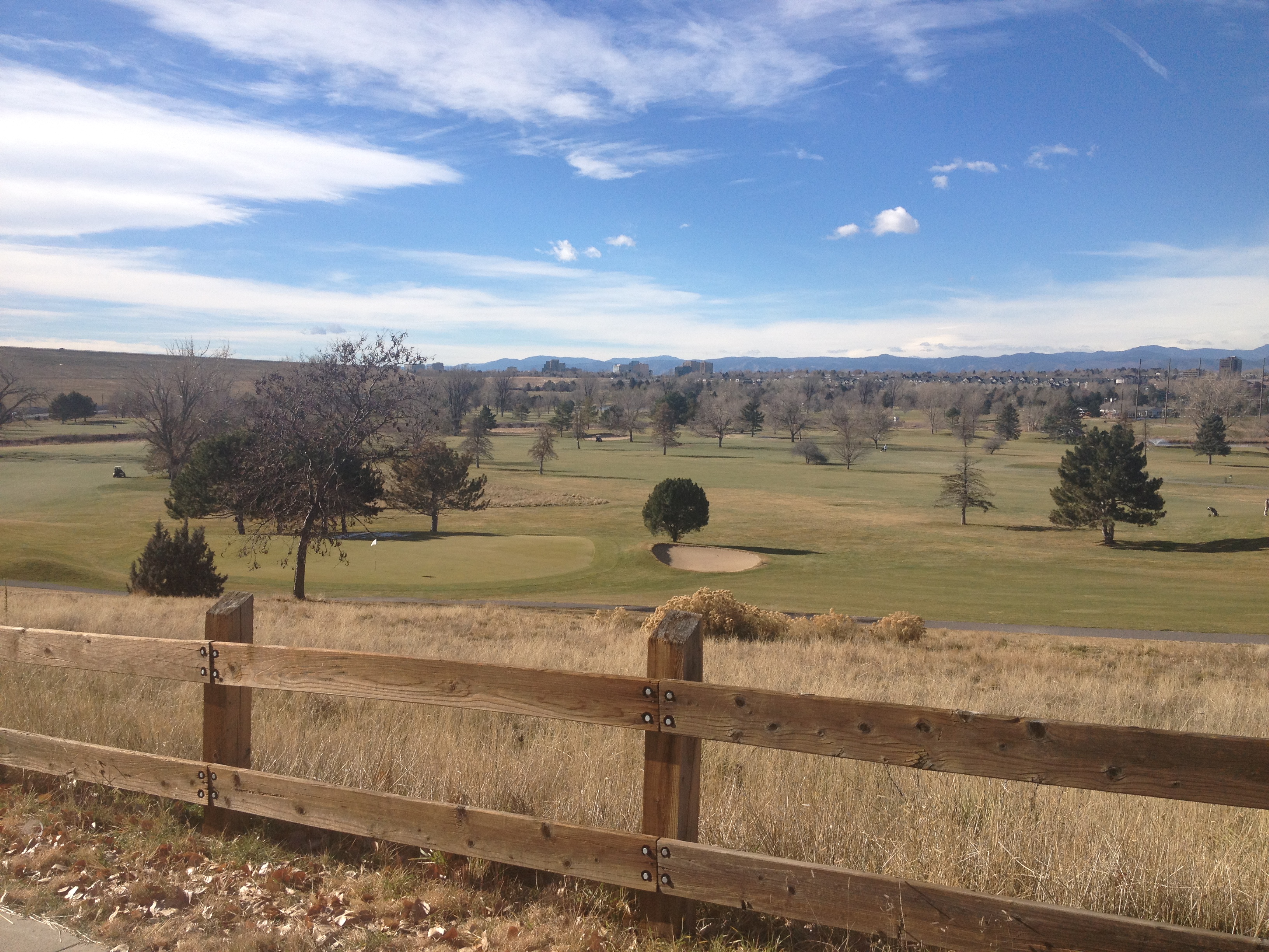
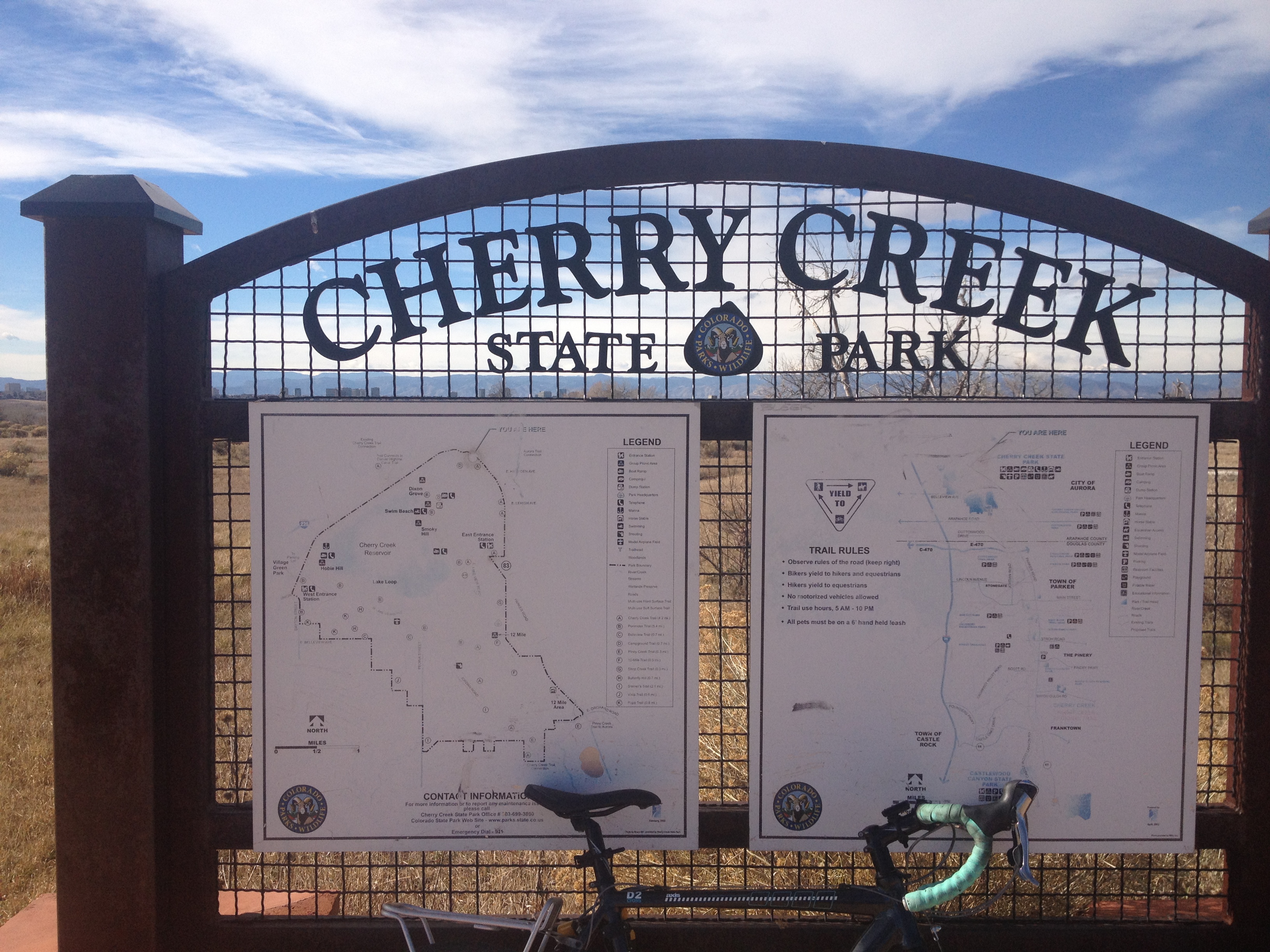
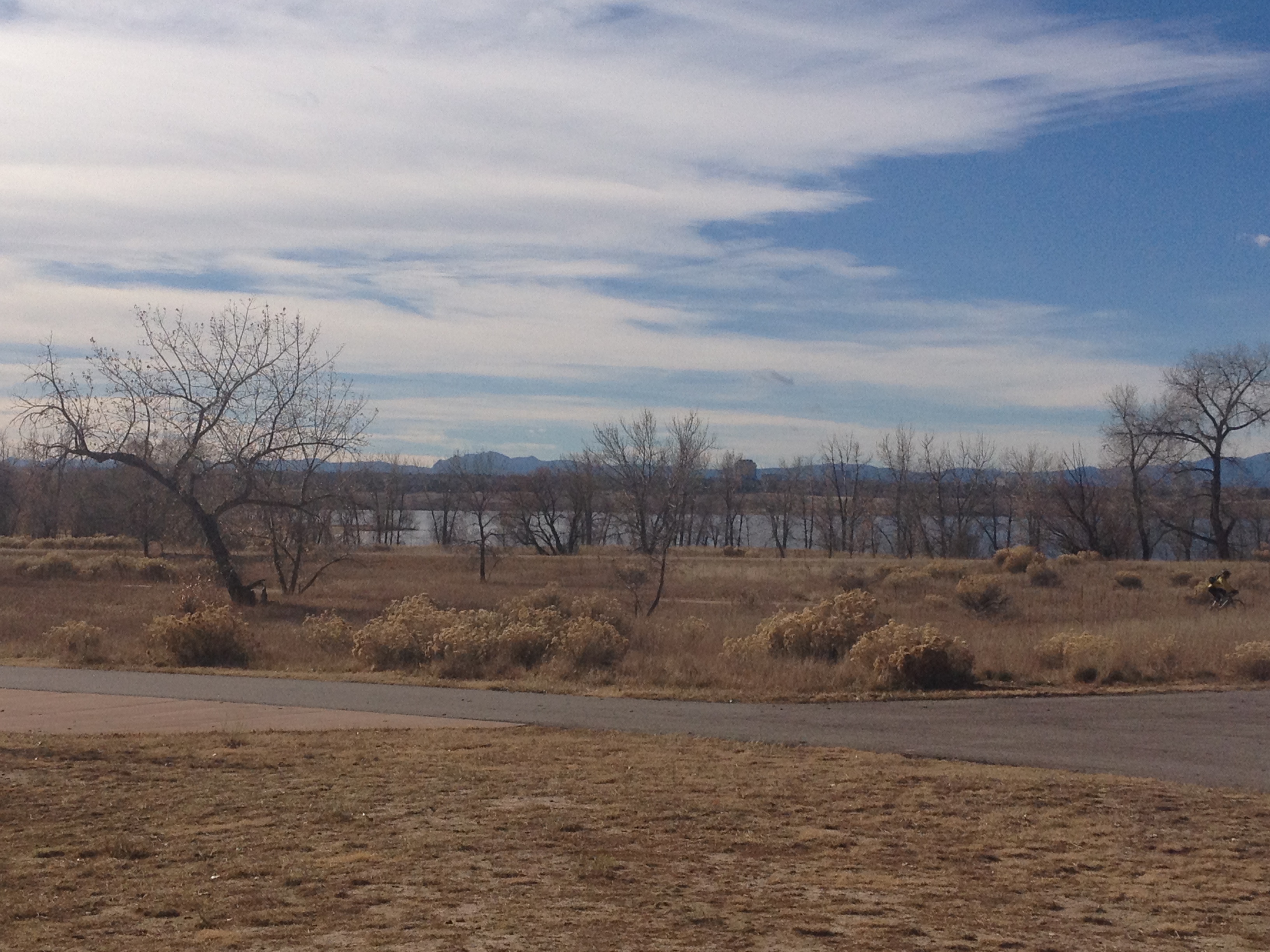
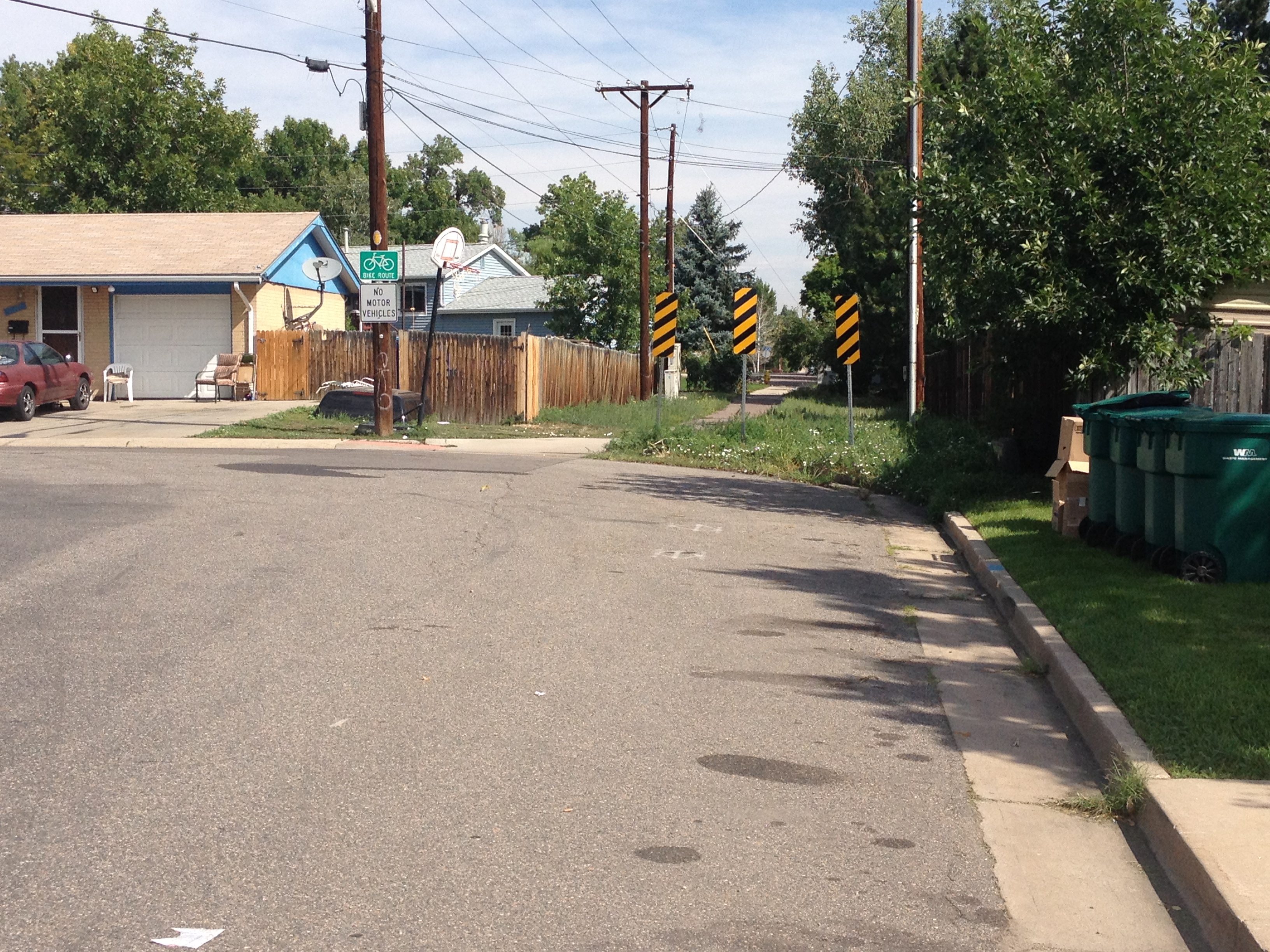
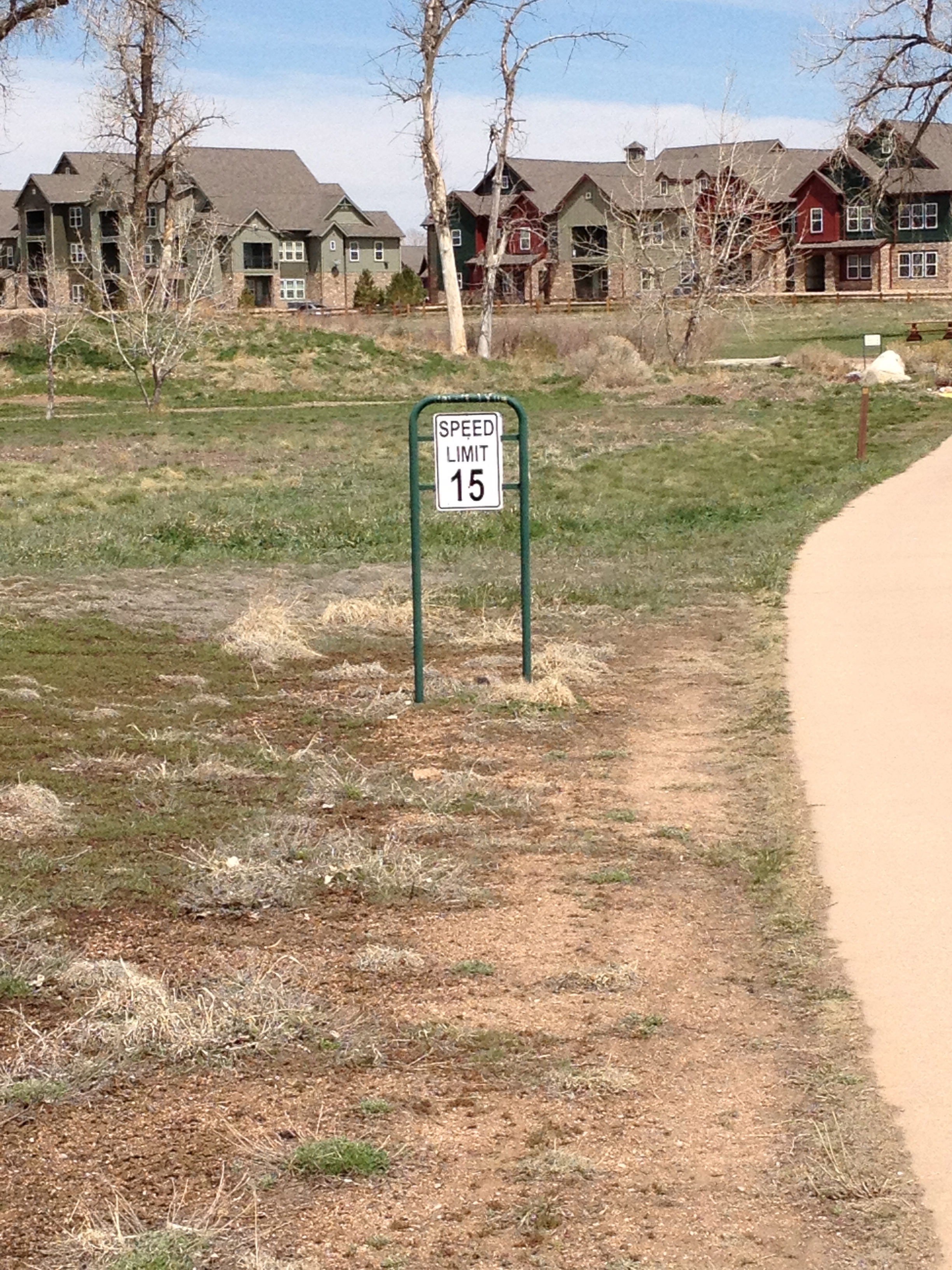
The first 30 miles of this trek is on the Cherry Creek trail, from Denver to the suburb of Parker.  Most of this trail is relatively flat.  A gradual upslope, combined with a few uphill segments, takes a rider from Denver’s 5280′ in elevation to Parker’s 5900′.  This part of the journey was not too terribly challenging.  In fact, in this segment, my biggest challenge was finding water to refill my water bottle.  I had assumed, for some reason, since it was already the end of March, and that there have already been 12 days with high temperatures of 70 or above, that the water fountains around the suburbs would be turned on for the spring.  I was wrong, and was quite thirsty and relieved to see this sign, indicating that although the water fountain was not operational, that the bathroom had available water.  You would be surprised how many suburban park bathrooms do not have running water.

IMG_3243

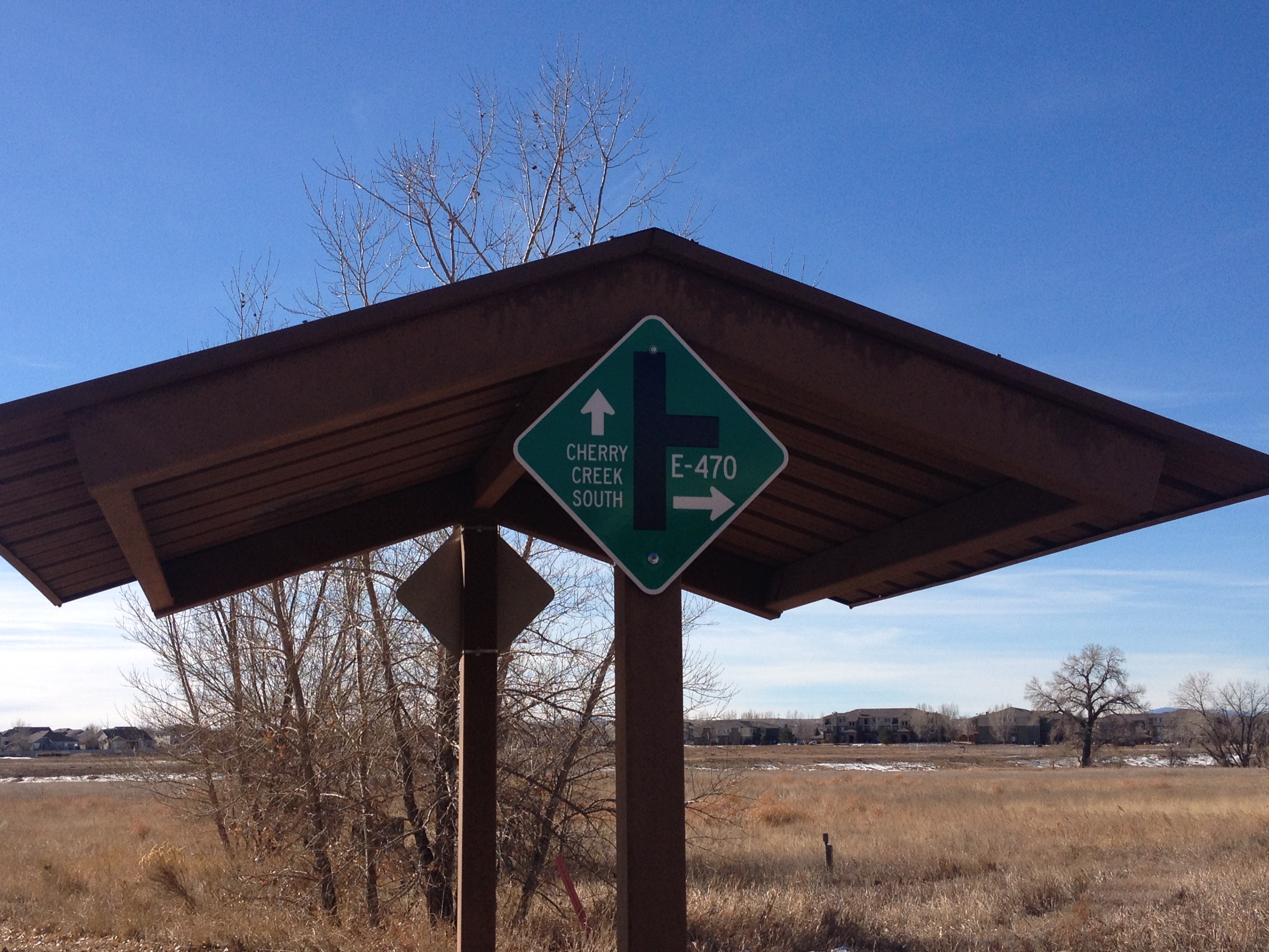
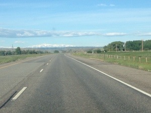
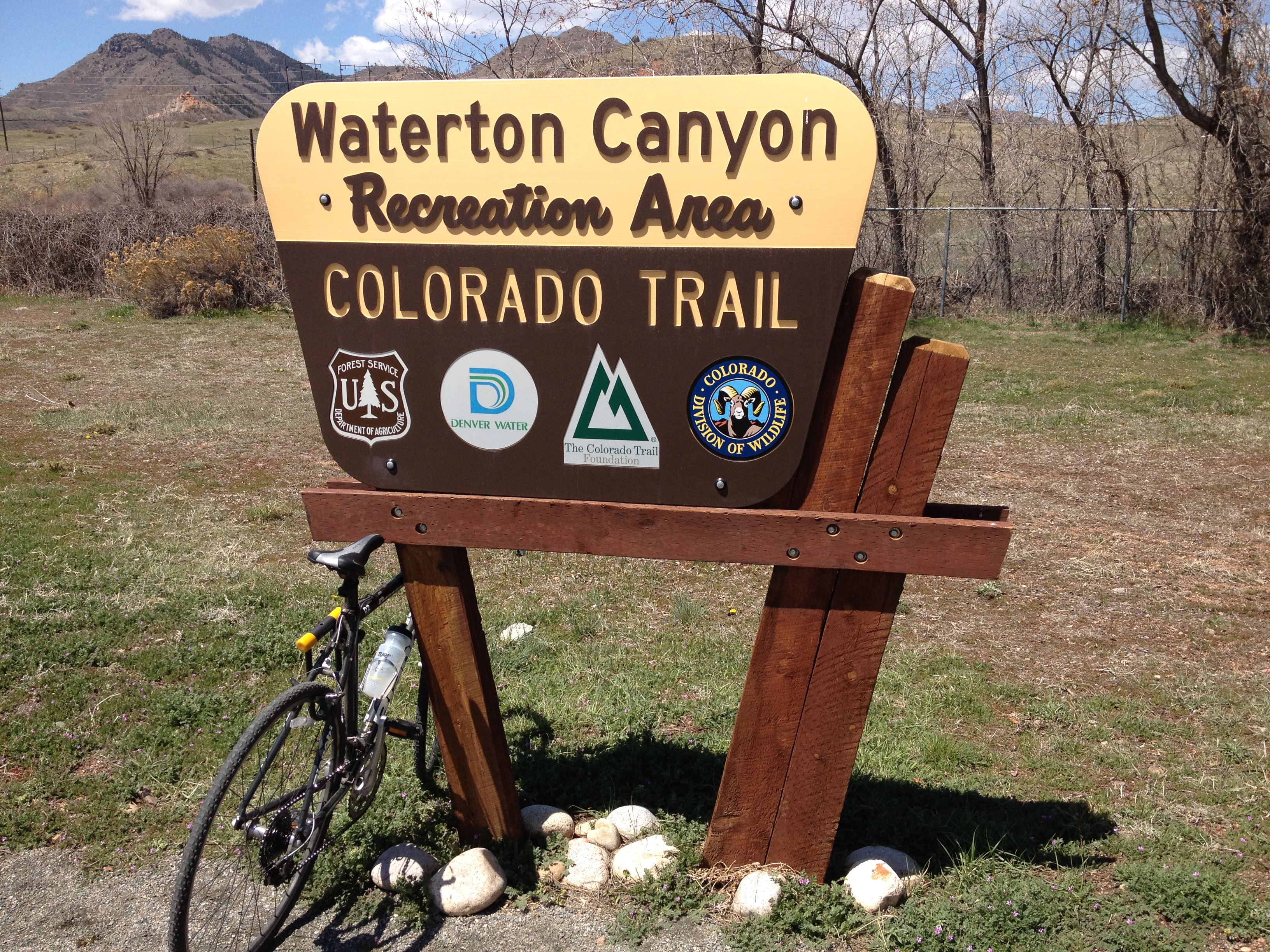
To get from Parker to Castle Rock, one must follow a road called Crawfoot Valley Road.  The road is quite luxurious for cyclists, with a shoulder wide enough for roughly two bikes.  In fact, it is labelled a bike lane for some parts of this eight mile stretch of road.  The first three miles, headed southwest from Parker, however, is a bit of a climb, and a deceptive one.  The climb is nowhere near as steep as one in the mountains, and one only climbs 500-600 feet.  But, it is one of those frustrating climbs where the road winds around a bit, and, with each turn, a cyclist will wonder whether or not they are approaching the apex only to see another uphill segment gradually appear as they approach.

IMG_3245 IMG_3246

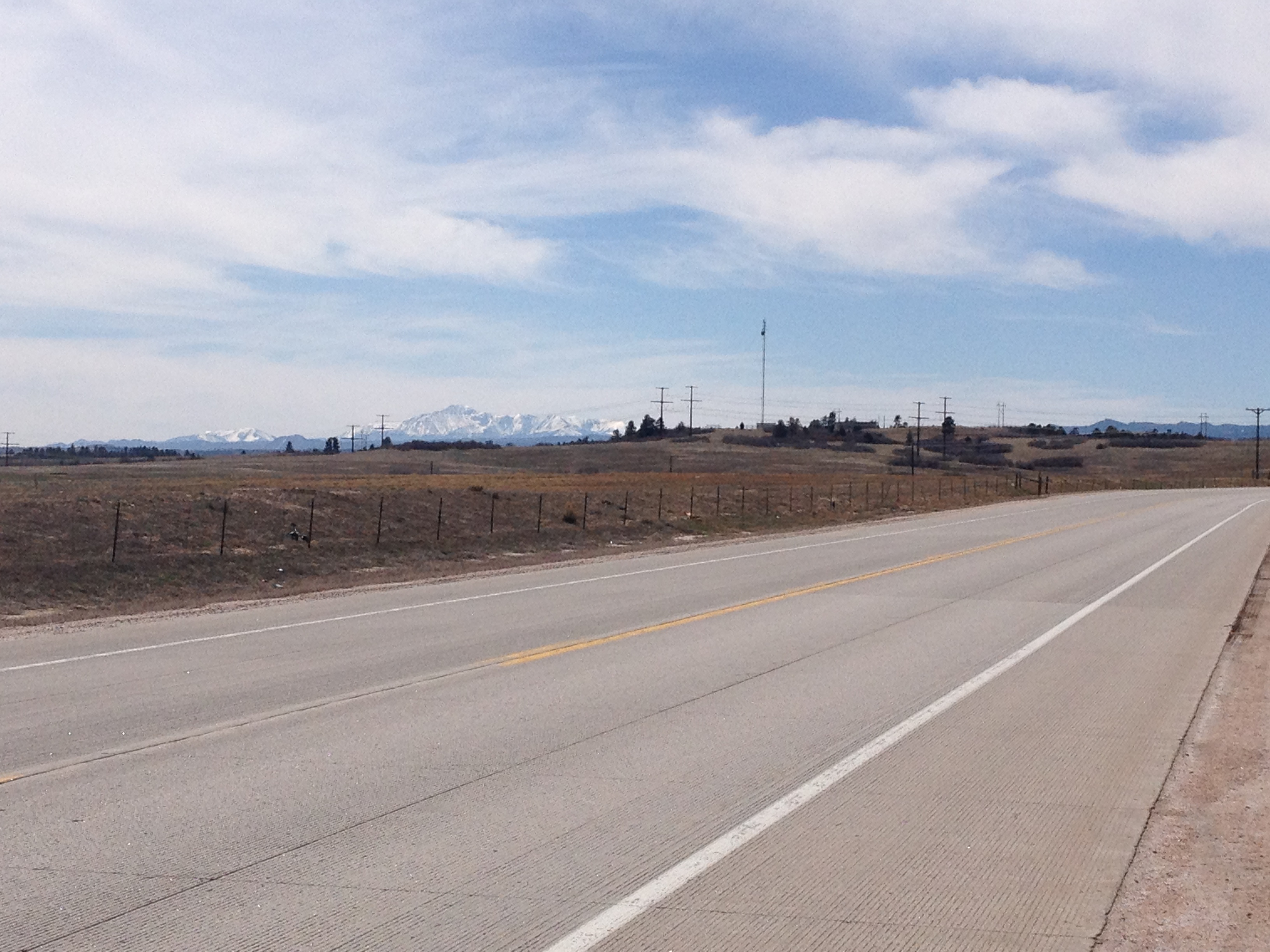
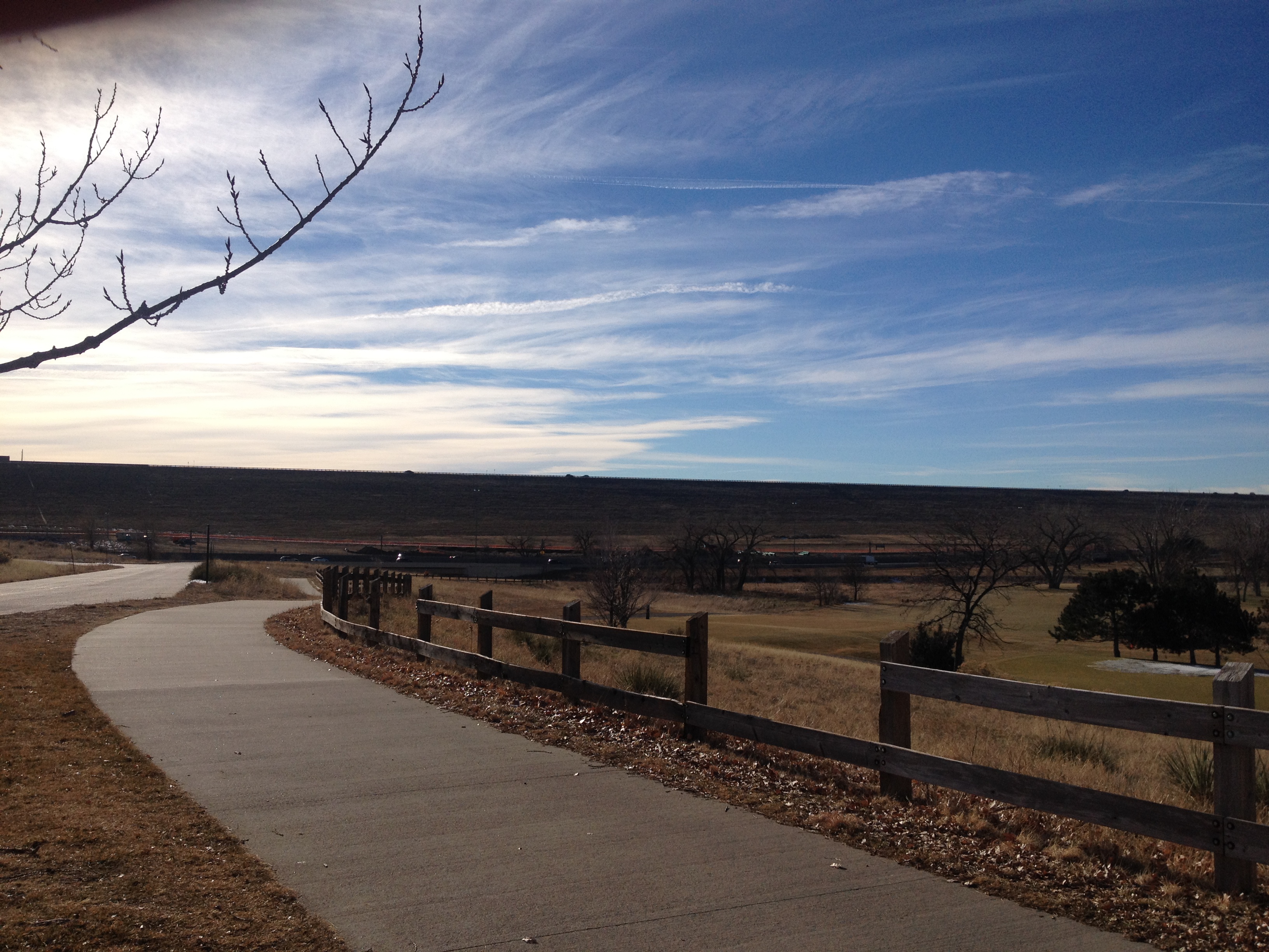
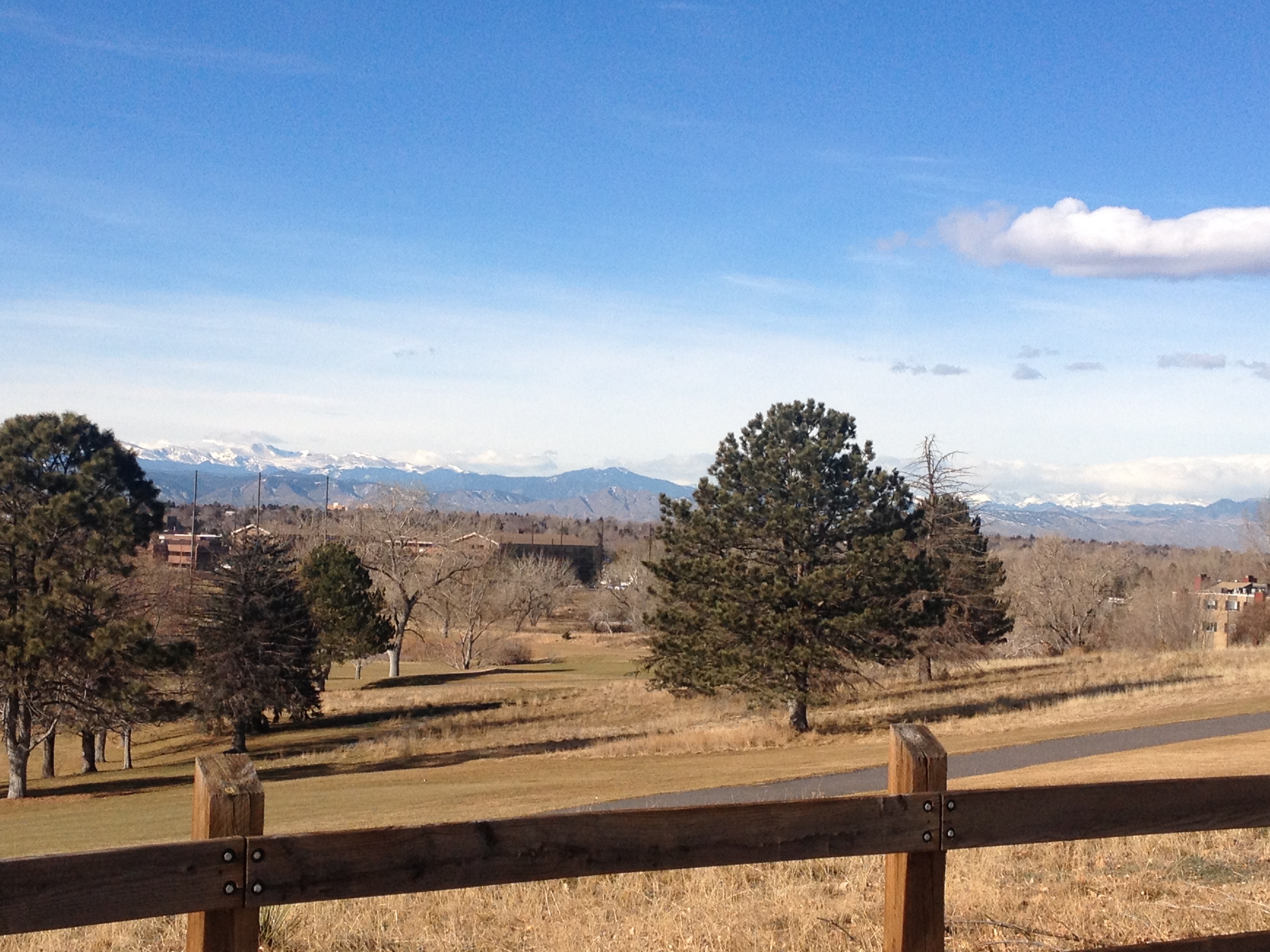
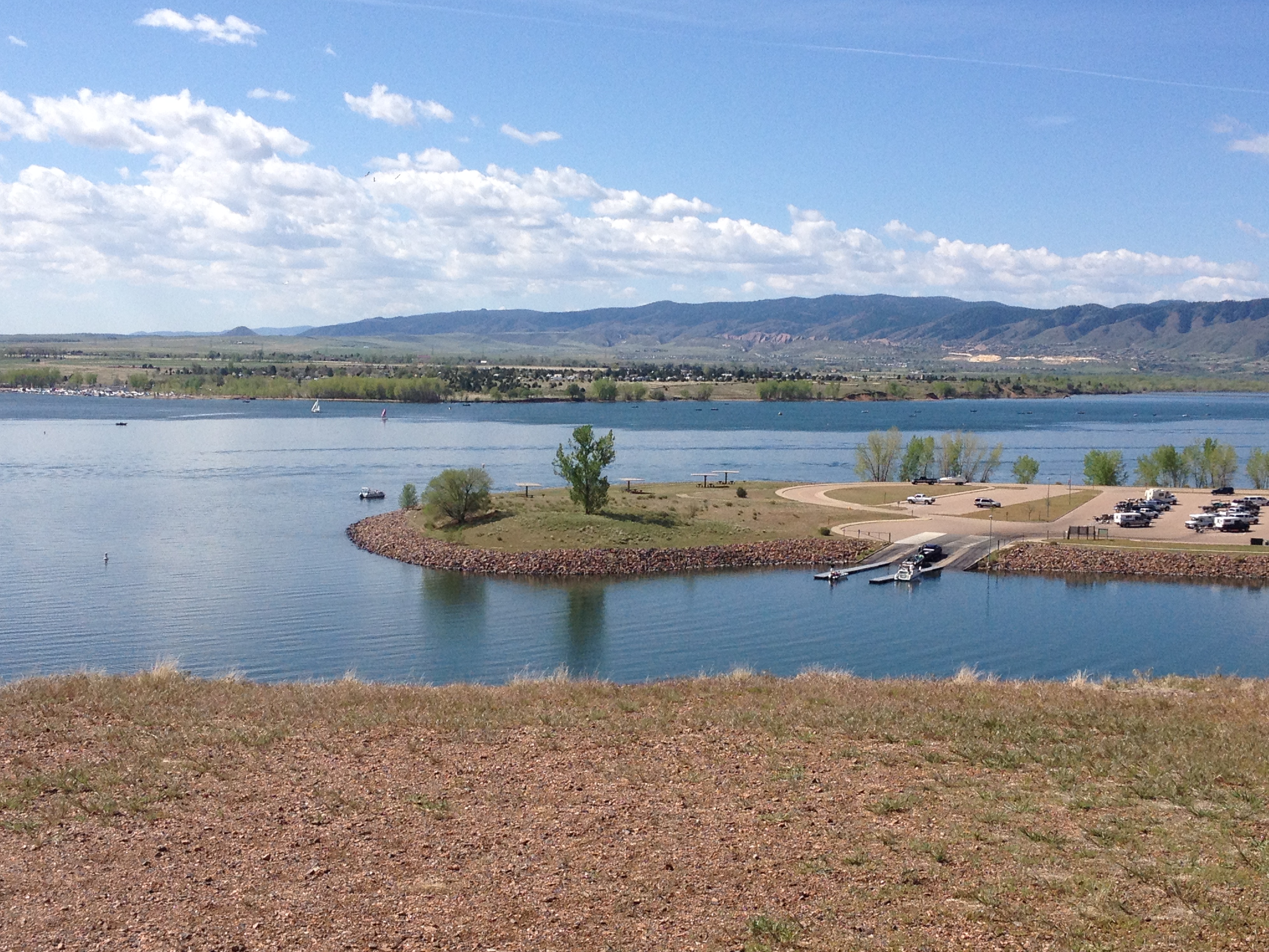
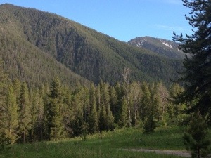
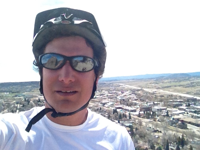
Once this road levels off, facing southwest, the ride becomes almost surreal.  To the left of the road, one can see Pike’s Peak, standing there all by its lonesome.  To the right, the mountains of the Front Range, due west of Denver appear.  Riding sort of directly at these mountains, with the vantage point of being up at roughly 6500 feet in elevation, I cannot help but take a deep breath and marvel at how wondrous the world can be sometimes.

IMG_3248 IMG_3247

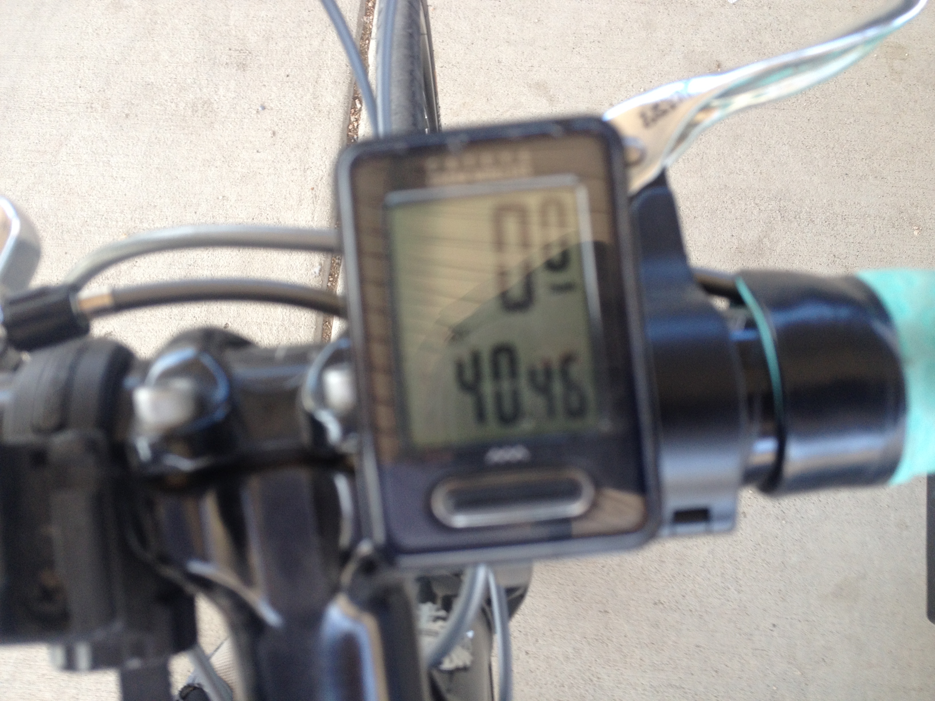
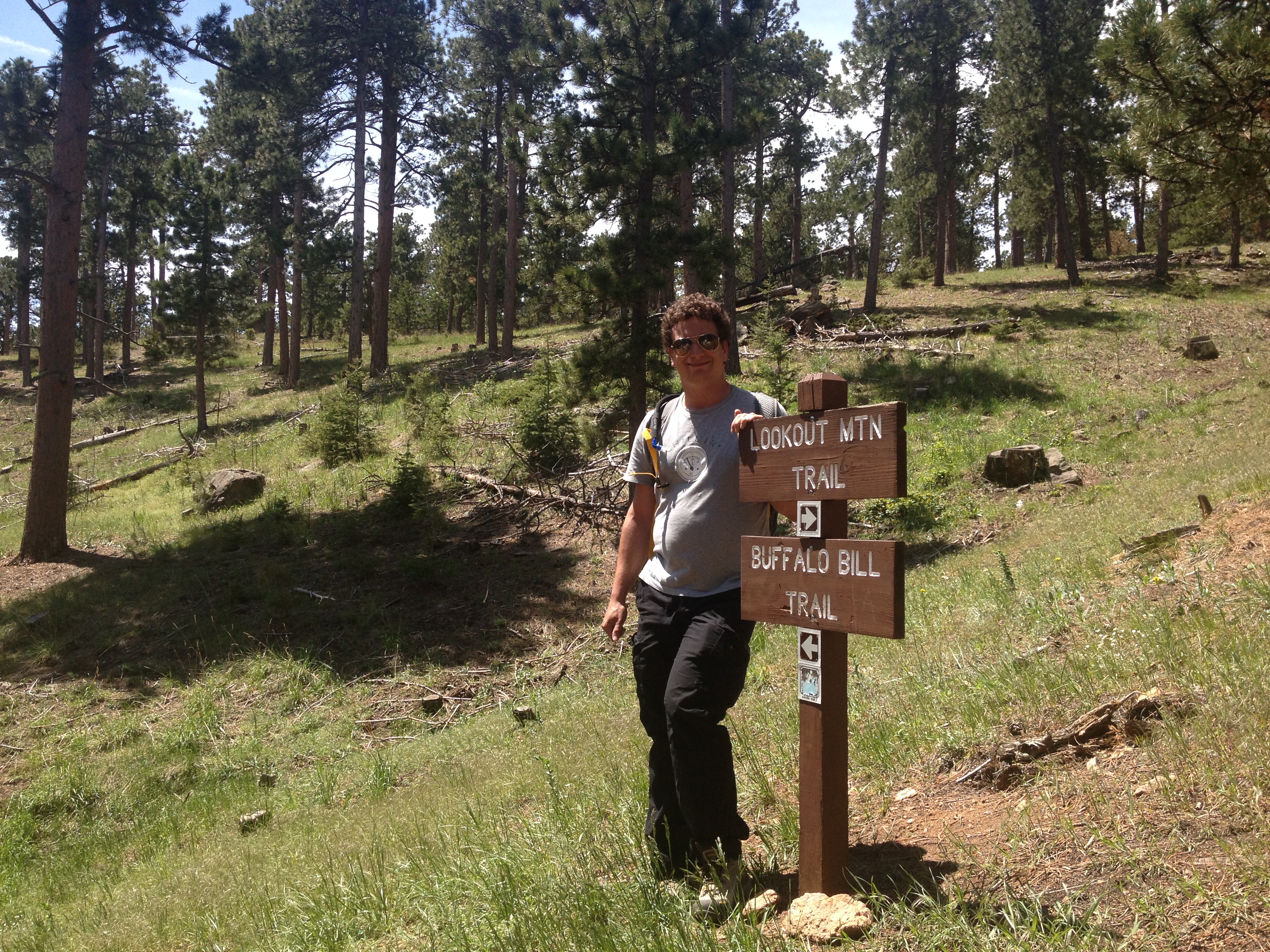
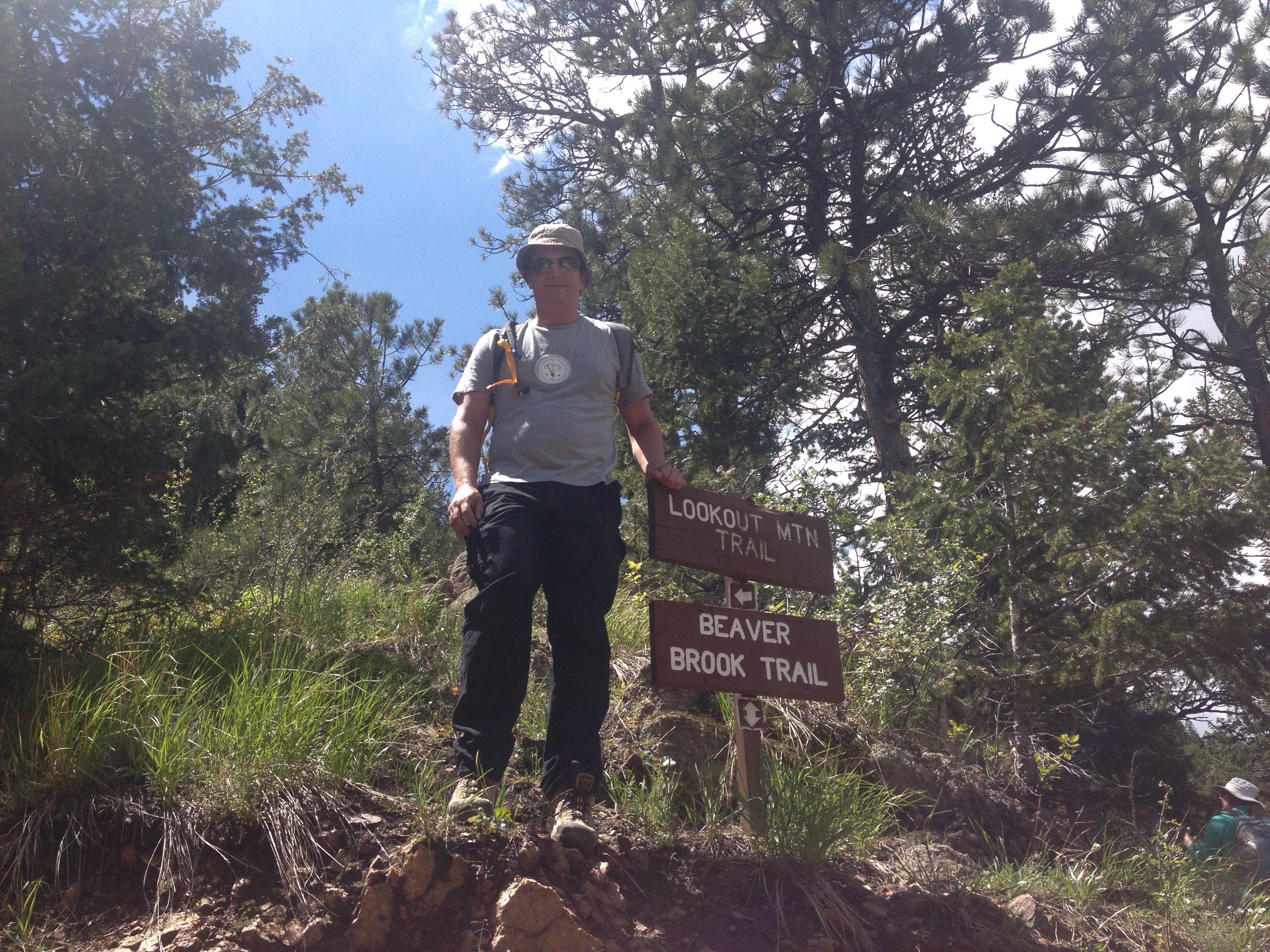
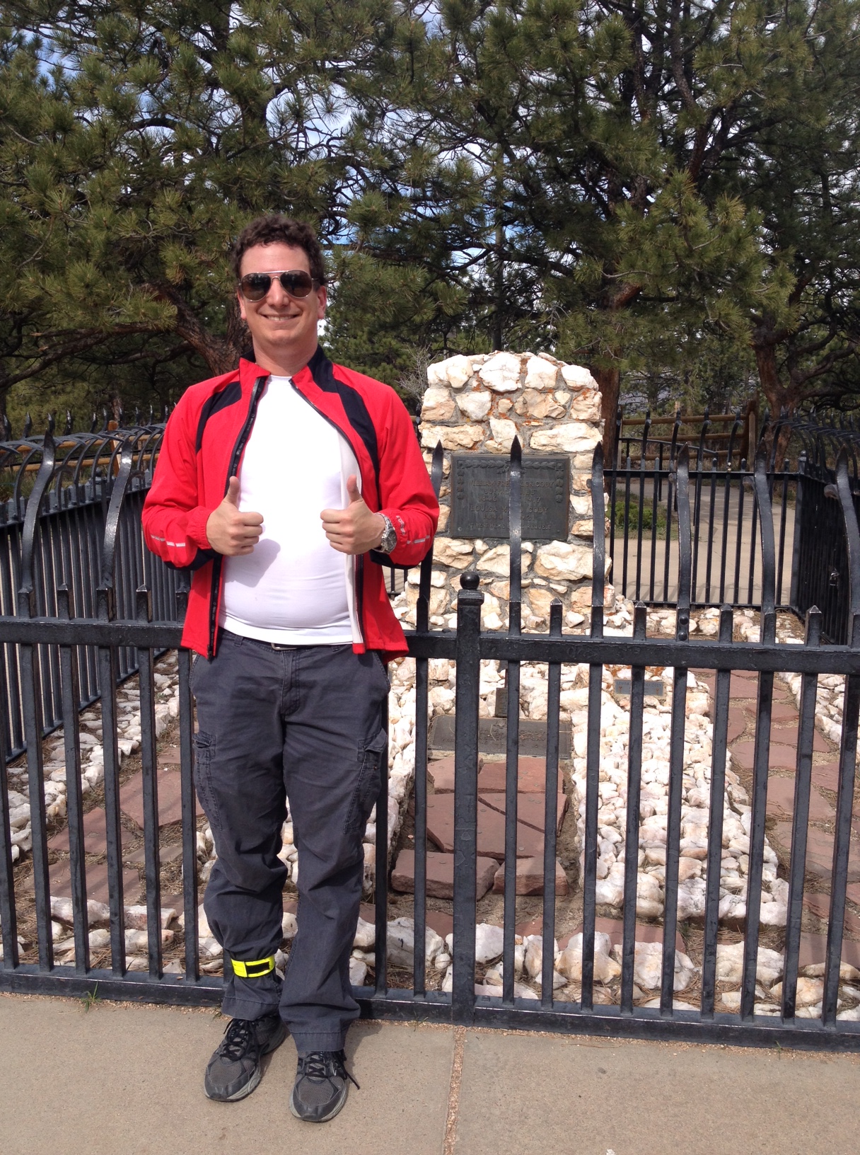
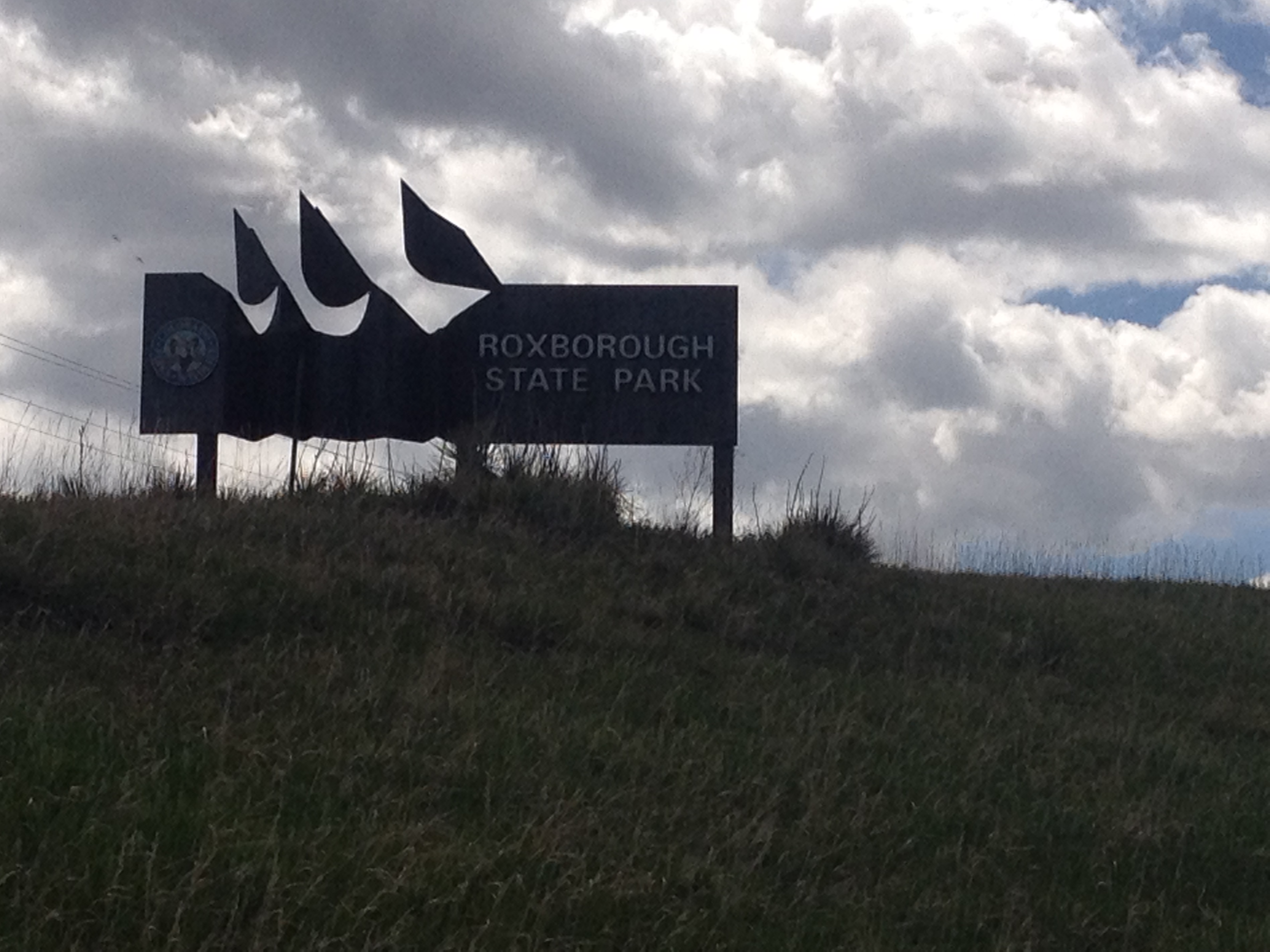
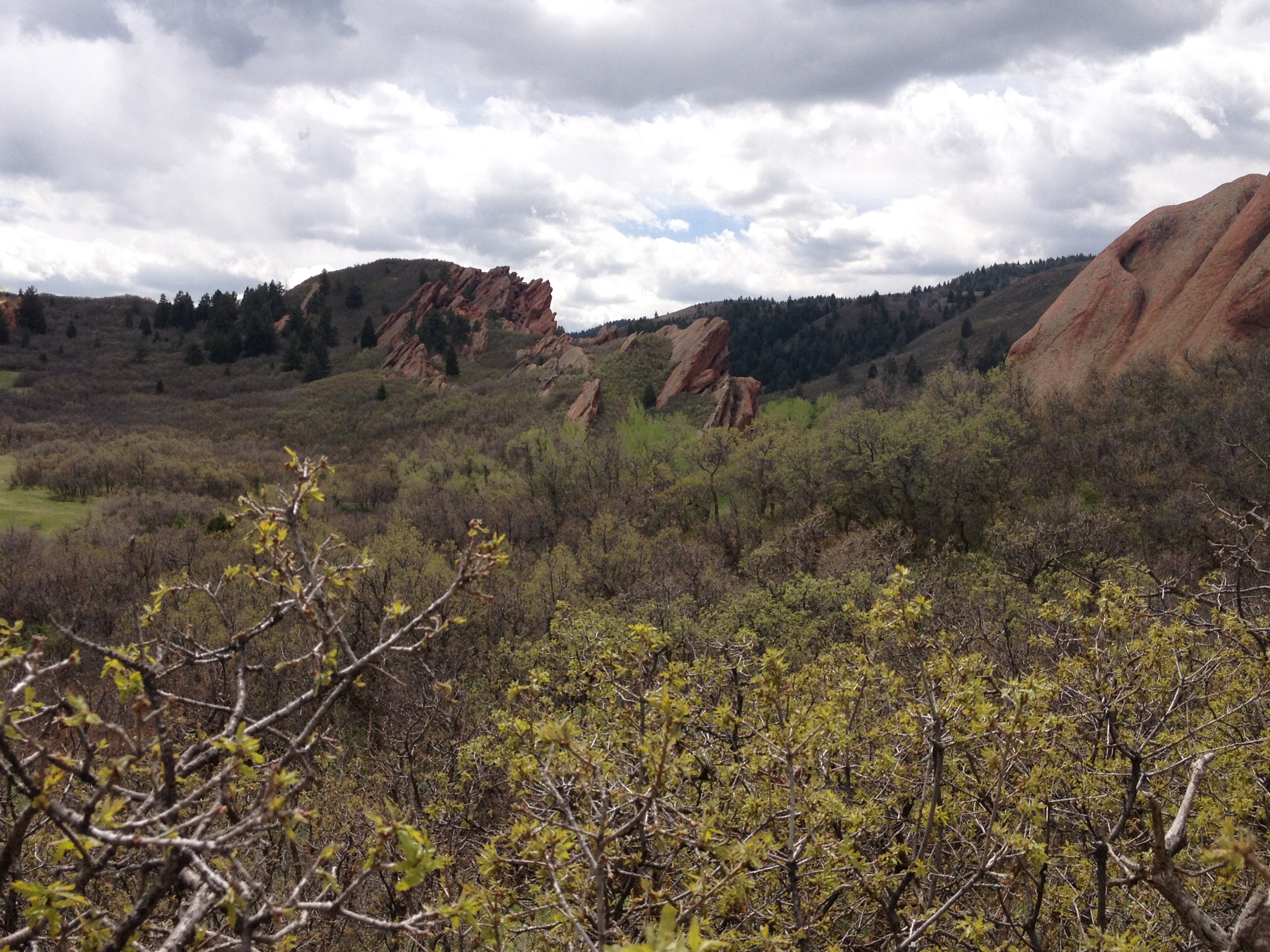
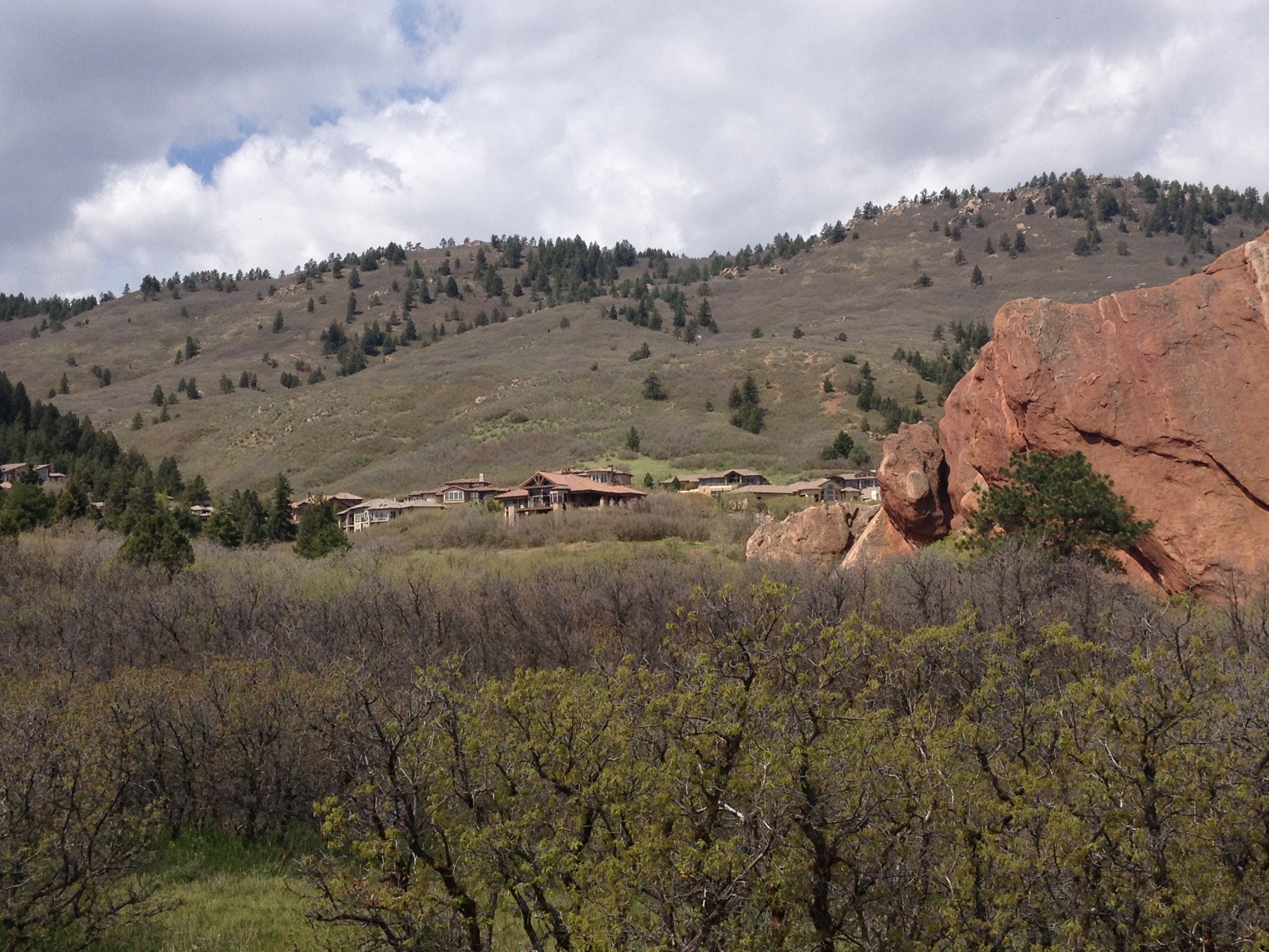
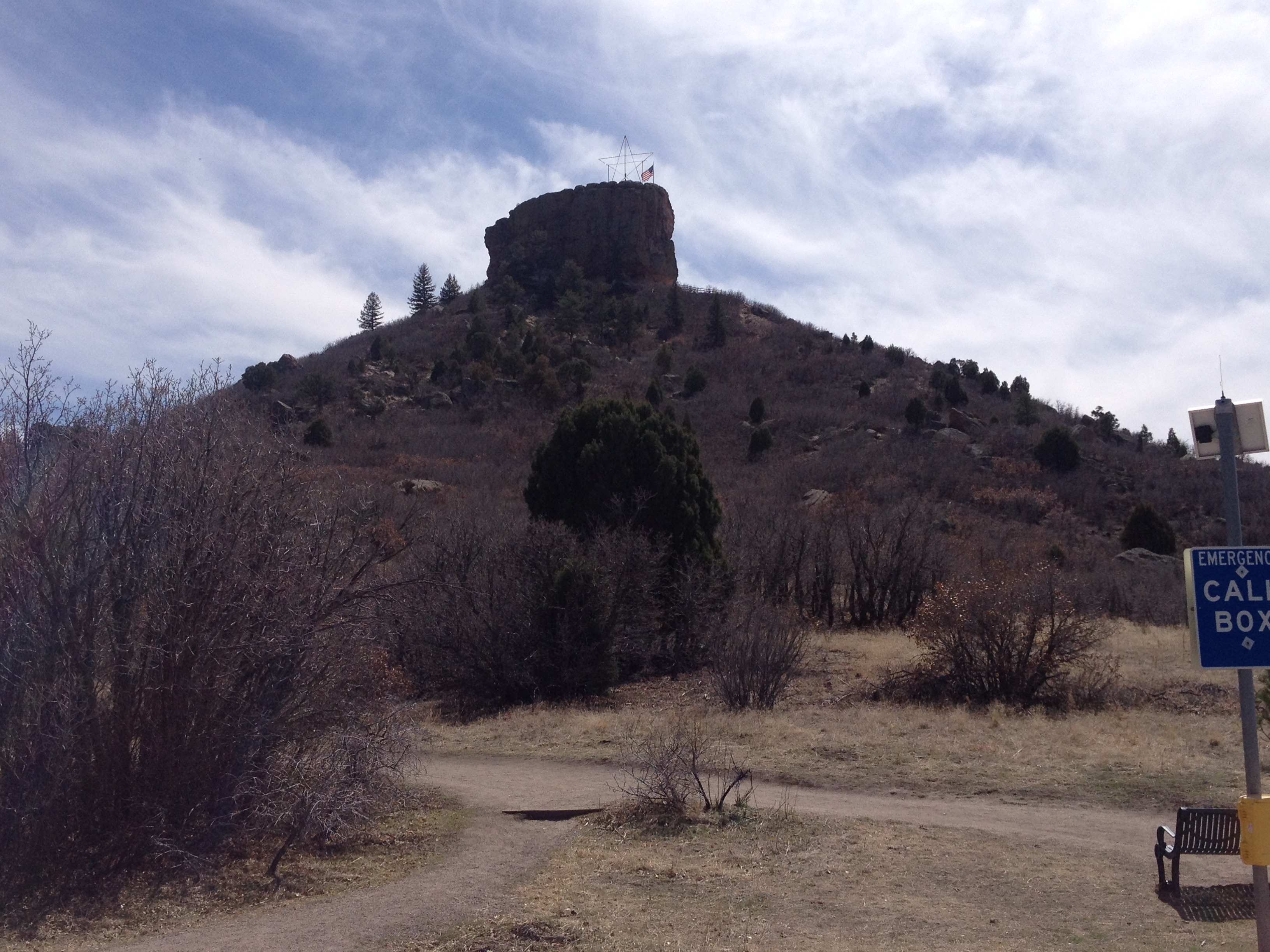
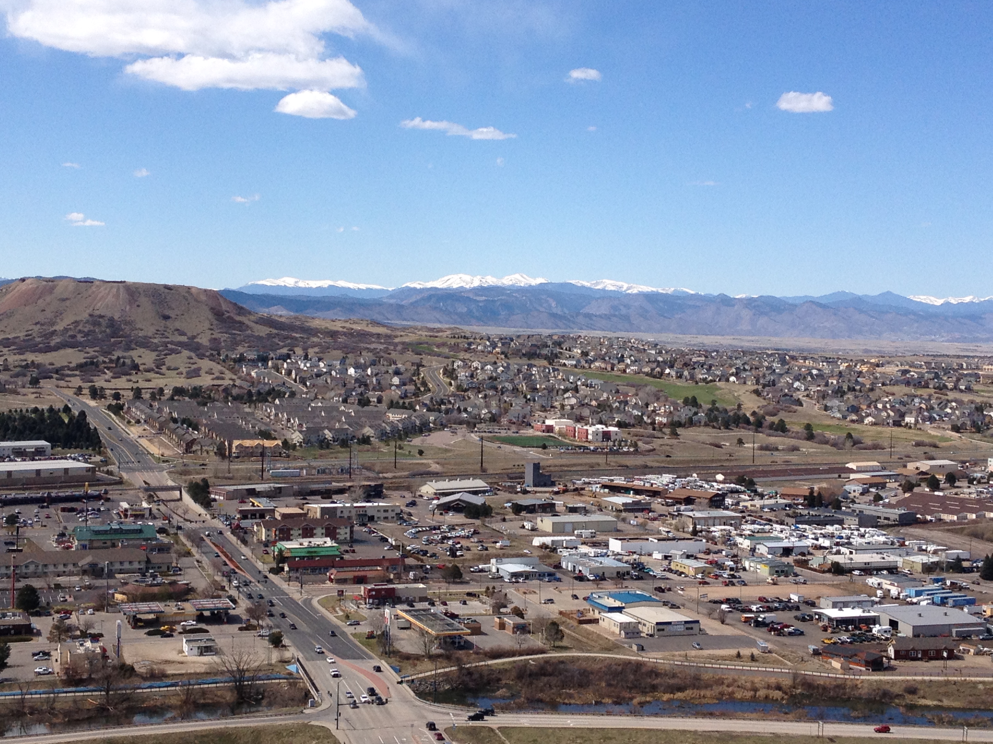
After just over 40 miles of cycling, I arrived at Castle Rock.  When I got to Castle Rock, I decided to add on a mini-hike to my day of activity.  After all, I spent almost three hours getting here, why wouldn’t I head up to this little rock structure- my destination!

IMG_3250 IMG_3253 IMG_3256 IMG_3257

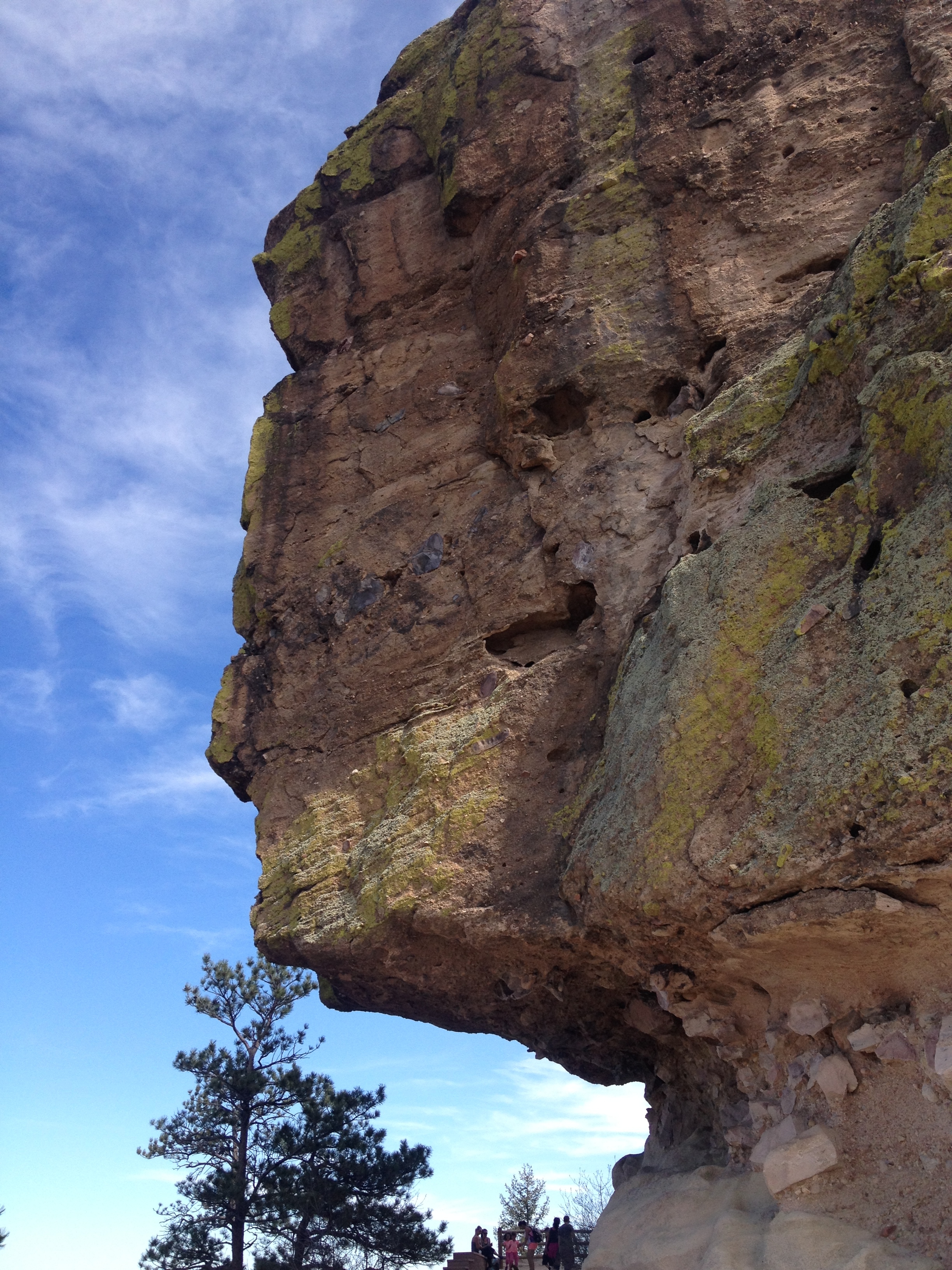
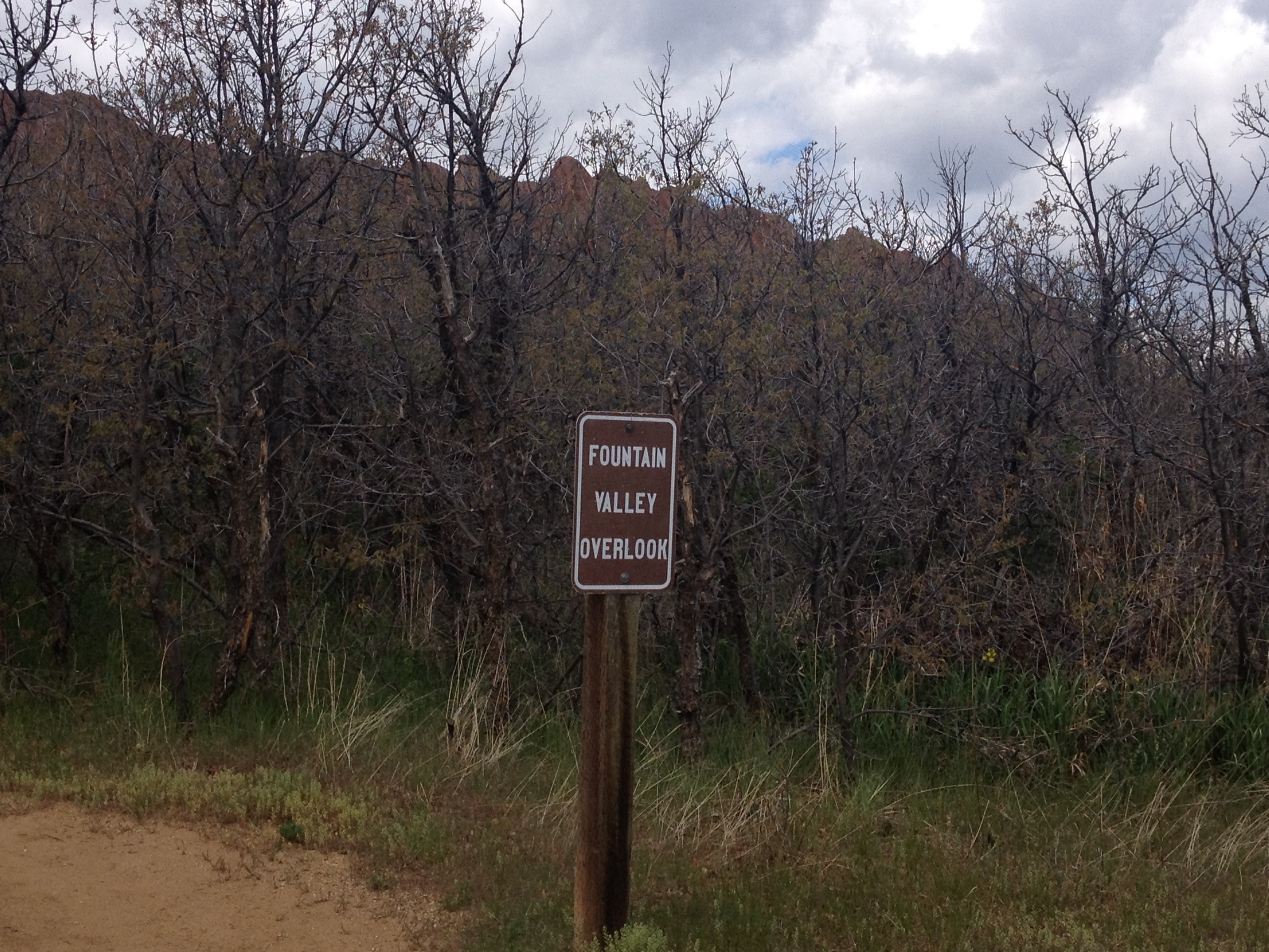
This is a fairly short hike, with stair-step features that indicate that it was designed primarily for tourists, and not hard-core hikers.  So, I did not feel too bad about adding this hike to my already exhausting daily itinerary.

After all, the return trip to Denver would be much easier, after the initial climb out of town on Crawfoot Valley Road, the rest of the trip would be more or less downhill, descending, overall, from an elevation of 6200′ at Castle Rock back to 5280′ at Denver.

That turned out to be wrong.  As I approached Parker, a northerly wind developed, and, although the wind itself was not too terribly strong (10-12 mph range), the gusts began to pick up and become more frequent.  It was here, peddling into the wind, that an already challenging ride became one where I ended up testing the limits of what my body can do.

There are three levels of tired.  First, there is just general tiredness, where we just feel like stopping.  Many people do indeed stop at this point.  However, those who stop at this first level of tiredness generally do not develop any further endurance.  Level two tired is where we begin to ache, or feel some level of pain.  At this point, it is typically recommended that one stop.  This is the level of tiredness I had expected out of Monday’s ride.  However, the gusty winds on the return trip brought my level of tiredness to the third level, the level in which you simply cannot go anymore.

Working to each level of tiredness achieves a different goal.  An activity that stops at level 1 tiredness maximizes our enjoyment of an activity.  An activity that stops at level 2 tiredness is most beneficial to our fitness.  When we push to level 3 tiredness, we achieve personal accomplishments, the kind that make us feel as if we are achieving something with our activities.

The key is, for almost anyone involved in any kind of physical activity, to find a balance between working to each of the three levels, as they feed off of each other.  The original, and ultimate purpose of any activity should be to have fun, but, for most, an activity become even more enjoyable when we improve, take on new challenges, and accomplish new things.  Much like a skier that starts out on the green slopes, moves up to the blues, then blacks, and finally extreme terrain, I am looking to take my bike out longer distances, and to places that were previously unreachable.  However, in order to plan out how to test my own personal limits, I first have to know where those limits are.  So, as much as I can be pissed off that this ride ended up being more difficult than expected due to the wind, the wind allowed me to actually measure my personal limit, so I can start the process of improving.

A 50 Mile Bike Ride in the Dead of Winter

I am not sure where the phrase “The Dead of Winter” came from.  In fact, I am not even 100% sure people still use that phrase (in 2015).  But, I do recall hearing that phrase growing up in both New York and Illinois, referring to the period of time from roughly New Years through President’s Day.

My best guess is that the phrase comes from scenes like this one appearing in many major Northern Hemisphere cities.  Trees having long since lost all of their leaves, the grass taking on a lifeless brown-ish color, and overcast skies combine to create a cold, lifeless image that can persist for long periods of time.

IMG_2940

No month epitomizes the depths of winter more than the month of January.  By January, most northern cities have already experienced a significant amount of winter.  Residents of these cities have typically been through a dozen or so days they would consider “very cold” (which does vary by city).  Also, by January, most cities have experienced their version of lousy winter whether, whether that be lack of sunshine, heavy snow, ice storms, that cold drenching rain, or some kind of combination of the four.  With the holidays over, if winter is going to wear you down, it will most definitely do so in the month of January, as it runs its course.

For many, winter (and particularly January) is something of a metaphor for a rough period of time, or a low point.  In American history, the winter at Valley Forge is remembered as a low point for the American Revolution.  Winter is also used periodically to describe low points in people’s individual lives.  With the chill, darkness, and frequent inclement weather, there is not only commonly more hardships, but also more limitations.

This is true even when mother nature offers periodic breaks from cold and gloomy weather.  After a cold start to 2015, the middle part of January brought warmer conditions to Colorado, including several consecutive days with highs in the 50s or 60s here in Denver.  And, while today ended up being one of the best possible January days for a bike ride, the amount of riding I could do was still limited significantly by the sheer fact that it is January.

Even on a mild day, it is typically too cold to start riding at sunrise, the coldest part of the day.  As the day began with temperatures in the 30s, I waited until roughly 9:30 to begin my ride.  Even with this later departure, I still encountered significant amounts of water, and even ice on the trails.  In several sections, I needed to stop and dismount my bike for safety reasons.

IMG_3018

The mere possibility that ice like this will be present on the trail also makes it extremely unsafe to ride after dark.  With sunset occurring right around 5 P.M. at this time of year, the window of time for a bike ride is significantly shorter than it is in other season.

IMG_3025

Another major limitation to what places I can bike to in January is the wind.  In winter, wind can be quite unpredictable, and can lead to unexpected slow-downs.  Also, higher terrain can get quite windy, even on days where there is little to no wind in town and in the river valleys.

Therefore, I decided to ride up Cherry Creek trail, and make the 50-mile round trip ride from Denver to Parker, an exurb 25 miles to the Southeast.

IMG_3019 IMG_3020

Despite the slow-downs associated with random standing water and ice on the trail, I was still able to reach Cherry Creek Dam in roughly 45 minutes.  Here, the only “climbing” portion of the ride appears in the distance.  For those with little to no “climbing” experience, the uphill sections can actually be a bit exhausting.  However, for anyone that has previously ridden up a mountain, or a large hill, the climb up the hill is quite tame.  With the mountains still appearing in the distance, there is a clear reminder that even after a mild stretch of weather, climbing too high in elevation would also lead to slippery conditions.  In essence, this “climb”, although quite tame, is the most significant climb one can make safely in the month of January.

IMG_3023 IMG_3024

Behind the dam, the trail winds around Cherry Creek Reservior.  Only half covered with ice (and probably thin ice), I am relieved to see nobody trying to ice fish, or stand out on the lake at this time.

IMG_3028 IMG_3029

With some amount of wind, and having not ridden a significant amount of miles in one sitting in quite some time, I ended up taking it a bit slower on the trail today than I normally would have in mid-summer.  As a result, it ended up taking me nearly another hour to reach Parker, where the 470 trail, another major trail in the metro Denver trail system, terminates at the 40-mile long Cherry Creek Trail.

And, while it took me a bit longer than normal to ride 25 miles, not exhausting myself to achieve a better time had it’s reward.  Neither overly exerting myself, nor traveling too slowly, the return trip flew by!  Mile after mile passed, almost as if I was living out a montage of my own life.  I passed mile 25, 24, 23, winding around, smiling at nearly every person I passed by as the wind, and my direction shifted back and forth.

IMG_3030 IMG_3022

Before I knew it, it was mile 15, 14, 13.  On a typical ride, exhausted at the end of the day, I am anticipating each mile, and tracking how far I am from home.  Today, I achieved somewhat of a state of euphoria.  I almost feel as if I had achieved the “runners high” often discussed (albeit on a bicycle, as opposed to running).

In the end, despite my slower than usual pace, I thoroughly enjoyed the ride, and was actually only passed on the trail once!

For those wanting to take advantage of a mid-winter warm-up, and get on the trail (or roads), I offer the following tips

  • Plan extra time (maybe half an hour) for your ride.  There is a distinct possibility that mud, ice, or snow on the trail can slow you down, as well as unexpected winds.  It is not safe to ride at night, and it will get cold again.  You are better off taking on a goal that would be considered modest during the warm season than ending up in trouble.
  • Listen to your legs.  I know “shut up legs” is a popular poster to hold up at long distance rides, but often times a ride can be done more effectively if you allow yourself to downshift when the ride feels exhausting.  This may mean being on a specific segment of trail, or road, in a lower gear than what you would typically be in.  But, maybe that combination of the 5 pounds you gained over the holidays, and that 8 mph cross-wind is enough to warrant being one gear lower.  It is best not trying to exhaust yourself early just to be in your usual gear regime.  That being said, there also may be opportunities to shift up and go faster where there is an unexpected tail wind.
  • Don’t shy away from undertaking a major bike ride immediately after a hard day of skiing.  Cycling uses mostly different muscles than skiing, and I have been surprised by how little recent hard core skiing has impacted my cycling performance on rides like the one today.

Two Ways Up Lookout Mountain

IMG_1993

The first time I heard about Lookout Mountain, the first thing I thought of was teenagers making out in their cars half an hour after sunset.  It just seemed like the kind of place a crazy new high school couple, with access to a vehicle along with the freedom that comes with it for the first time in their lives, would go.  It is that perfect middle ground for high schoolers starved for both attention and alone time.  They are far enough out of the “public eye” (i.e. social circle) to not feel too awkward, but not far enough out of the “public eye” to not get the recognition they crave.

To some, the fact that I automatically defaulted to this thought process is a demonstration of a disturbing level of immaturity.  But, I am strangely comforted by the fact that my mind occasionally defaults to such ideas and pursuits.  One of my goals as I get older is to never lose that youthful sense of wonder that makes everything seem so significant and magical early on in life.  Sure, if I were still trying to take high school girls “up to Lookout” at this age, it would be quite pathetic!  However, I take significant pride in the ability to still see places like this and imagine it’s possibilities from a perspective that is quite youthful, while still approaching it with the wisdom and maturity that I have gained over the years by being an astute observer of the world, humans, and human nature.

So, although my first thought of this mountain was one of 16 year olds making out in cars and possibly allowing themselves to go further, I came to understand it’s cultural significance to Colorado and the Rocky Mountains when it became the first major mountain I climbed on my bicycle after moving here from Illinois.  In a way, Lookout Mountain welcomes people like me to the world of cycling in the Rockies the same way I imagine it welcoming those 16 year olds to “adulthood”.

As the stormy weather that plagued Colorado the week leading up to Memorial Day came to a close, I decided to pursue this mountain in another unique manner.  I decided that on Monday, I would hike up the Mountain, using the Chimney Gulch and Lookout Mountain trails.  Then, on Tuesday, I would ride my bike up Lookout Mountain Road.

IMG_1984 IMG_1983

Regardless of whether one decides to pursue this mountain on foot or by bicycle, it begins at a (relatively) light to moderate level of difficulty.  The trail heads up a gentile slope that would be considered “moderate” in terms of hiking.  The bike ride is up a slope that most with little or no climbing experience would consider quite difficult, but it is a bit over a mile into the ride before the climb picks up.

IMG_1987 IMG_2003

While the bike ride does offer some amazing views, and I would argue better views of the Denver skyline, about a mile into the hike, some waterfalls form at this time of year, when rains are significant, giving me a whole new perspective of Lookout Mountain.

IMG_1988 IMG_1989

It is at this point cyclists will encounter their first major set of switchbacks (along with some steeper terrain).  The hiking part also picks up in intensity.

Just after the halfway point comes a somewhat easier part of the climb.  It is at this point the road somewhat flattens out for cyclists, and most can shift up a gear or two and pick up a few miles per hour in speed.

Roughly 2/3 of the way up the mountain, the hiking trail meets up with Lookout Mountain road for the second and final time, at a place called Windy Saddle Park (near Windy Saddle Peak).

Windy_Saddle IMG_1990

Windy Saddle Park offers a great view of the Clear Creek Valley to the West.  The photo to the left was actually taken back in April on a previous bicycle trip up Lookout Mountain, while the one on the right was taken on Memorial Day.  Colorado is typically a very dry state, with a very brown or red look (depending where you are).  However, the week preceding Memorial Day was quite wet, with daily thunderstorms, and even four consecutive days of hail.  These photos, taken from the same place, demonstrate how different Colorado can look during different seasons and weather patterns.

IMG_1991 IMG_1992

After Windy Saddle Park comes the most challenging part of the trip, regardless of whether one is hiking or cycling.  Cyclists will encounter a series of switchbacks with a higher grade and frequency than the switchbacks in the earlier part of the climb.  When I continued on the hiking trail, I had anticipated the same increase in intensity.  What surprised me was the sudden change in tree density.  It felt as if we had suddenly left the wide open and entered a forest.

IMG_1995 IMG_1996

There are two trail junctions in this more challenging (although still not “14er” level) part of the trail.  First, the Beaver Brook Trail, which is a longer trail that winds through the rest of Jefferson County, breaks off to the right.  Luckily, these trail junctions are clearly marked so nobody spends hours wandering around wondering when they will finally get to the top.  The second junction is with the Buffalo Bill Trail, which goes to the part of the mountain where Buffalo Bill’s grave is.

IMG_2011 Buffalo_Bill_Grave

Lookout Mountain is not a single peak.  It is more of a mound.  One one end of the mound is the tower most commonly associated with Lookout Mountain.  On this other end is Buffalo Bill’s Grave.  Buffalo Bill’s Grave is a great destination point for cyclists.  There is a gift shop at the top offers water for free, nice bathrooms, and great snacks.  Being pretty much at the same elevation as the other side of Lookout Mountain, one can stop and turn around without feeling like they cheated themselves out of part of the climb.

While (excluding driving) there are two ways up the mountain, there are three ways down.  One other thing I discovered about Lookout Mountain is that it is a popular place for hang-gliding/ para-sailing.

Lookout_Gliding

Depending on the day of the week and conditions, it is not too terribly uncommon to encounter around a dozen gliders taking off and landing at different points on the east side of the mountain.

Between the awkward adolescents in their cars just past sundown, cyclists like me achieving our first significant Rocky Mountain climbs, and hang-gliders soaring through the air over town, Lookout Mountain is truly a place where dreams come true.  It is a place where people feel a sense of achievement, a sense of advancement, and a sense of welcome into what’s ahead.  For cyclists like me, it is even more challenging bike rides, higher into the mountains.  For those adolescents, it is adulthood, and all of the challenges that will come.  Either way, it is both magnificent and scary, but best appreciated by looking upon it with the same sense of wonder that we begin our lives with.

A Bike Ride to Roxborough State Park

IMG_1933

The primary reason I love cycling as much as I do is that I am able to go places a significant distance away completely under my own power.  For many years I have enjoyed commuting to work (now only 1.5 miles but formerly 6 miles), running errands, visiting specific places, and getting myself to and from specific events by bicycle.  I feel the benefits are two-fold.  There is the obvious money savings on fuel (and/or parking/ transit).  In addition to the monetary savings, I find the exercise and time outdoors to have a been a great value to my health, both mentally and physically, over the years.

Roxborough State Park is about 30 miles South of central Denver.  It is a place I had never really thought about visiting up until a few weeks ago when I was looking for new interesting places to ride my bike to, and wanted a ride that would be roughly two hours each way.  In Denver, it is possible to cover a good amount of distance quite quickly using the metro area’s bike trails, which bypass traffic signals, as well as most terrain features that would normally slow a cyclist down.

IMG_0337IMG_1913

The Platte River trail can be followed from Denver southward to it’s terminus at the C-470 trail, about 16 miles south of downtown.  The Platte River trail is quite flat, as it tracks right along the river.  However, the C-470 trail, which roughly follows the highway (which is the Metro area’s outer loop), contains a lot more rolling hills.  After several miles on the C-470 trail, I arrived at Chattfield State Park, a reservoir, and popular boating destination on the southern fringe of the metro area.

IMG_1916 IMG_1917

A couple of years ago, this was the destination of a couple of rides I had done.  Last year, I did a ride to Waterton Canyon, the starting point of the Colorado Trail, a place I also rode by on my way to Roxborough State Park.  It is somewhat encouraging to actually see my continued progress as a cyclist right in front of me.  However, it also made me realize that there is one disturbing parallel between cycling (or any activity of this nature) and drug addiction; as the more I ride my bicycle, the farther and more intense of a ride I need to do to feel “satisfied”.  This is beginning to feel eerily similar to the gradual increase in tolerance a regular drinker experiences, or the ever increasing doses many drug addicts demand over time.

IMG_1921 IMG_1922

There was a fairly long line of cars at the entrance to this park.  Luckily, I was able to bypass this line, saving me both roughly 20 minutes of time, as well as the $7 entrance fee to the park.

The road from the entrance to the visitor center, basically the last two miles of the ride, was not all that fun.  It was gravel and bumpy for much of the way.  I felt uncomfortable going over 13 miles per hour.  However, the park rangers were quite pleased that I did not try to use my bicycle on any of the trails, as they do not permit bicycles on the trails.

IMG_1927 IMG_1928

At the visitor center, I realized that one of the main attractions of this particular park is the wildlife.  Showing people the fur and bones of dead animals seems like a somewhat sick way of presenting what the park had to offer to it’s visitors, but it was really neat to actually feel the fur of a black bear for the first time in my life!

IMG_1929 IMG_1934

The rock formations at Roxborough State Park were actually quite similar to what I saw at Garden of the Gods.  In fact, it is easy to see how the same geological processes created the rock formations that run up and down the edge of the front range, including the Garden of the Gods, the place, as well as places like Red Rocks.

IMG_1931 IMG_1936

The park is also set up quite similar to Garden of the Gods.  Both places make it easy for the average non-outdoorsy tourist to attain a good view of the park.  Here, the Fountain Valley Overlook, a mere half mile from the parking lot with only a slight grade, provides views like the one at the top of this entry to those with no interest whatsoever of getting any exercise.  The park also offers somewhat more strenuous hiking.  Carpenter Peak is roughly 1000 feet higher in elevation than the visitor center.

IMG_1930

I meandered around the park a bit, but decided not to do the more strenuous hike as to preserve my energy for bicycling.  The only wildlife I encountered were these three deer, which is not particularly out of the ordinary.  However, I did encounter them at a much closer distance than I typically do.

IMG_1940

For much of my time at Roxborough State Park, I was intrigued by these relatively short trees I encountered all over the park.  These tress are quite different than the ones I typically see around Colorado.  I later read, on the way out of the park, that there are some unique species of trees, as well as insects and animals, that live here due to the micro-climates created by the wind patterns that these rock formations create.  In fact, Roxborough State Park is considered a destination not only for it’s rock formations, but also for it’s unique wildlife.

IMG_1935IMG_1938

While marveling at the beauty of the park, and considering how awesome it might be to live in one of those houses that overlooks the place, the weather caught me off guard.  Prior to this ride, I looked at the forecast for Denver, which called for a threat of rain after 3 P.M.  However, 30 miles farther south (and closer to the Palmer Divide), and roughly 1,000 feet higher in elevation, any threat of thunderstorms is naturally going to come earlier in the day.  Right around noon, I noticed a few raindrops, and suddenly noticed the clouds beginning to build overhead.

My bike ride home ended up being a race against mother nature, which I barely won, partially by blatantly ignoring the 15 mile per hour speed limits posted along the trail through South Suburban Littleton.  With a little bit of help from the wind at times, I was able to make the 28 mile ride from Roxborough State Park in 100 minutes, returning home by 1:45 P.M.  As someone who typically pays close attention to the weather, and understands weather patterns quite well, this was a somewhat embarrassing oversight on my part.  However, I do feel a sense of accomplishment in making the return ride so quickly.  And, once again, I was reminded of what I love most about cycling; being able to travel a good amount of distance, and even see my own progress on a map, all under my own power.

The Last Chance Of The Year

IMG_1493

There is a saying that “old habits die hard”.  This is possibly an overstatement, and it might not apply to everybody.  But it is a powerful statement of inertia that applies to a large segment of the population.  A major stress factor, such as the discovery of a new food allergy or the loss of a job, can change people’s habits rapidly and decisively.  However, in the absence of some kind of major push, most people’s habits will change slowly or even not at all.  It is for this reason that bad habits like watching too much TV, engaging in frequent unprotected sex with strangers, and even smoking can persist for decades.

I would not consider the habit I am referring to as a bad one.  It is mostly just annoying to some people around me.  It all started in the 8th grade when I became somewhat obsessed with football.  A typically Sunday for me that fall I would not only watch a couple of NFL games, but I would also watch the pre-game show at 11 A.M., as well as NFL Primetime at 6 P.M.  On any given Sunday, I’d watch as much as 8 hours of football!

This also caused me to put off too much of my schoolwork.  Then one November weekend, I suddenly realized that I had a major Science project due and I was running out of time to complete it.  That Friday evening, I came home from school knowing that I would have to scramble to finish this project on-time, and calculated that I would have almost no time for anything else that weekend.  My parents were disappointed in me, and actually feared that my grades would suffer because of it.

That weekend’s weather was especially nice, with high temperatures reaching 70 on Sunday.  Sometime on Sunday my father reminded me that this would probably be the last 70-degree day until April.  As a weather tracker from a young age, this was a fact that I was already well aware of.  But, it was something I had not been thinking about through all of this.  At this time, my father was just trying to be a good parent, and inform me that procrastination had consequences.  But the sudden reminder, that it would be at least three, and up to five months before weather like this would return prompted me to go outside that minute, even though I knew all I could afford was a 10-15 minute break from my work.

The previous winter was my first in Illinois, and it was quite harsh!  Not only had I just moved from Long Island, New York, a place with milder winters, but that winter was harsh for Chicago area standards too!  Temperatures were significantly colder than their long-term averages, particularly in January and February.  I recalled seeing a snowpack persist for over five weeks, something I had never seen before, and school was closed a couple of days due to extreme temperatures (below -20).  It was quite a shock for me, and something I did not enjoy.  Feeling that fresh air, and knowing that these ten minutes would be all I get for such a long time made me regret my obsessive watching of football in a way I had never regretted anything before.  It was that day that I realized that I cared significantly more about activities that I personally participate in than watching professional sports (or anything on TV).  I did not completely give up on watching professional sports that day.  But, since that day I’ve have had a clear understanding of where my priorities lie.

The winter that followed would be modestly mild for Chicago standards.  But, it was still colder than the ones I remembered in New York, and there were still very few days warm enough to be enjoyable for outdoor activities.  It was enough to cement in me the lessons I learned that November day.  I would spend seventeen more years in the Midwest, in either Illinois, Indiana, or Wisconsin.  Only one winter season would be more oppressively cold than that first one (and I was in Wisconsin- a colder place overall).  Many of the winters would be milder, some significantly milder.  Still, I would rehearse the same pattern every fall.  Starting around Halloween weekend, any day where temperatures were projected to reach the 60s or 70s would basically sound an alarm off inside of me.  I would start planning ahead of time how to take advantage of these particular days, and bill it “the last nice day of the year.”  Sometimes, I would even have some “false starts” in this process, where I would be prompted to enjoy “the last nice day of the year” only to have another stretch (or even two or three) of warm weather occur before winter set in.

Now that I live in Denver, this practice is not necessary.  Not only do sunny and mild days occur quite frequently in the middle of the winter, but winter is one of the most exciting times to be in Colorado- due to skiing.  But, we are also not in an ordinary weather pattern.  Today’s highs will top out somewhere between 60 and 65.  But, after this, an abnormally prolonged period of cold weather is expected in Colorado.  It might even be too cold to ski, as highs between 10 and 20, and lows below 0 are anticipated for Denver.  It will be even colder in the mountains!  So, that alarm in my head triggered me to take advantage of this day as if it were the last chance I would have this year to go on a bike ride, which I did.

IMG_1495 IMG_1496

Of course, one of the challenge in taking advantage of the last nice day of the year is that in November and December, the days are quite short.  Today I also had an added time constraint, as I knew the winds around Denver would pick up around noon, making bicycling much more unpleasant.  So, I stuck to a much simpler ride, down the Cherry Creek Trail to  Cherry Creek State Park, a 25 mile round trip.  Most of the ride is flat, or slightly uphill on the way out and slightly downhill on the way back.  The first major terrain feature is a large hill near Kennedy Golf Course, which is followed by the climb up to the reservoir.

IMG_1499IMG_1497

The Cherry Creek Trail is one of the best trails I have ever ridden!  It follows the river, through all of the underpasses, and avoids nearly all traffic lights.  This makes it a perfect way to get somewhere quickly on a bicycle.  There is some terrain climbing up to Cherry Creek State Park, but overall, the ride here only involves three “climbs”, and each one is only a couple of hundred feet in elevation.  Therefore, this would be a great ride for people who are only in moderately good shape, or not looking for a major challenge.

It will be too cold for bicycling in Denver to be enjoyable for at least another week and a half.  But, in all likelihood, this was not my “last chance of the year” to ride.  Therefore, I probably did not need to be too concerned about taking advantage of today’s weather.  However, I am also not seeing any negative consequences in taking advantage of a day like this.  I did not miss out on anything important, and everything I need to work on I can complete in the later part of this week when the weather turns awful.  So, this old habit is going to “die hard”, and probably won’t change much until it leads to a poor result.

A New Activity

It has been said many times in life that each and every one of us has something called a “comfort zone”. This “comfort zone” consists of wherever we feel comfortable. It is a set of situations, places, activities, and types of people. Inside our comfort zones, we feel a certain calm. The situation does not call for any kind of panic, and does not induce a certain kind of stress. I think we all enjoy being in our comfort zones, and can have some of our best times in life in places that are familiar to us, around people that we know and trust, and doing activities we know we excel at. Outside our “comfort zones”, we feel stressed. We often have some level of self-doubt, about our ability to handle a certain situation, excel at a certain new activity, or relate to an unfamiliar group of people.

It is also commonly stated that our “comfort zones” are in a perpetual state of flux, and at all times they are always either expanding or contracting. And, believe it or not, whether our “comfort zones” are expanding or contracting is typically at least partially under our control. When we open ourselves up to new experiences, we allow our comfort zone to expand. Nearly every activity any one of us enjoys was once strange and unfamiliar. LeBron James was once new to basketball, and Lindsey Vonn was once new to skiing.

Those that do not leave their “comfort zones” from time to time tend to see their comfort zones contract over time. This is because, well, in life, change is inevitable. We have all had the experience of one of our favorite places, perhaps a restaurant or a store, either closing down, or changing under new management. Likewise, sometimes friends take a different path in life, or change in some kind of a way making the friendship simply not what it used to be, or gone altogether. If we don’t perpetually find new places, new activities, new people, and new situations, we are doomed to enojy less and less as time goes by.

In that vein, I decided to take advantage of an opportunity to do a new activity today: mountain biking. Today’s adventure took me to Alderfer/ Three Sisters Park near Evergreen, CO, which is actually less than an hour from Denver.

20131009-223244.jpg

20131009-223253.jpg

Some might say that mountain biking is not too different of a sport from road biking, which I have done over 1,000 miles of every year since 2009. I even came into this thinking it was only slightly different, like how baseball is to softball. But, there are actually much larger differences than I imagined.

The main difference between the two sports can be summed up as balance vs. speed (or power). In road biking, when idle, it is proper to have one pedal down and one pedal up, and be positioned in an aerodynamic stance. This is because the top priority is sped, and putting our legs in the most powerful position possible will help us develop that speed. In mountain biking, it is proper to put both pedals at roughly the same height, especially on downhill sections with rocks and jumps. This, along with an upright position off the saddle, bent arms, and weight back is the best position for maintaining balance, which is the top priority when mountain biking.

20131009-224441.jpg

This was the hardest downhill stretch I did today. In fact, it took me three tries to get down this without either crashing or hitting a rock, which would make me come to a stop, and have to dismount. Even upon completion, I am sure I looked quite lame. However, I was told I did pretty well for a first timer.

Stretches like this become both easier and more fun, as one develops to confidence to take them at faster speeds. In this sense, mountain biking actually reminds me of skiing. Most people don’t understand how enjoyable skiing is when first learning. My first day of skiing, when I was 14, all I did was try not to fall. As I got better at it, and, most importantly, developed more confidence in myself, allowing me to go faster, the sport became more enjoyable. In fact, I came to the conclusion today that if an activity is easy to master, within the first day, it will likely get boring over time. Some of the most enjoyable activities, the best games, and most interesting topics, cause frustration at times, especially at first.

Later in the day, I crashed on a similar downhill stretch. I broke my pants and got a couple of scrapes. This is, of course, bound to happen to anyone that goes outside their “comfort zones”. Whether it be the physical “scrape” I got my first day of mountain biking, or the mental “scrape” of a 14 year old who got rejected after asking someone out on a date, we all take this risk when we exit our comfort zones. Assuming we can overcome our “scrapes”, and learn from our experiences, we will all be the better for it. In reality, we have a choice. We can either let fear control us, or gain control of our fears. This does not mean we eliminate fear. I was quite scared today. It means we work through it, and refuse to let our fears close us off from new experiences and relegate us to an ever contracting set of options in our lives.

Denver to Boulder by Bicycle

Recent studies have shown that not only has bicycle commuting increased in popularity over the course of the 21st Century thus far, but so has bicycle traveling.  Maybe it is the rise in gas prices.  Maybe it is the increased interest in combating obesity.  Or maybe it is just some kind of generational shift.  But, the increased interest in bicycle traveling has even lead to the development of a plan to implement a national bicycle route system similar to the highway system already in place for cars.

Locally in Colorado, one of the most important corridors for medium distance bicycle travel would be connecting Denver to Boulder.  Given the fact that both cities are very health conscious and bicycle friendly, and that enough people travel between the two cities every day to jam up highway 36, I have quite an interest in finding an ideal route between the two towns.  Well, the ideal route for now, until the bike path following U.S. 36 is developed, which may take some time.

Screen Shot 2013-08-21 at 2.20.06 PM

Today marked my second attempt to find the ideal bike route between the two towns.  My first attempt was back in May, a month that tends to have more ideal weather for intense activities at these elevations.

IMG_0965

My journey to Boulder, of course, began in the city of Denver, eventually following a route labelled D1.  The city of Denver actually has a local version of the National bicycle route plan envisioned, with a bunch of bicycle routes through the city labelled D1 through D22.  While Denver has better bicycle facilities and route labeling than most cities, labels such as this one are still somewhat intermittent.  Cyclists in Denver would benefit from signs alerting cyclists to when the route turns.  This particular route made two turns while I was on it, and neither turn was specifically signed.

IMG_0966 IMG_0967

Despite the fact that Denver and Boulder both lie East of the Rocky Mountain Range, the ride between the two towns is definitely not flat, and includes some challenging parts.  Periodic hills, followed by descents into river (or creek) valleys occur throughout the ride.  In fact, the ride in Denver begins with a significant climb from downtown through a neighborhood called “The Highlands”, which, as it’s name advertises, actually rises a couple of hundred feet in elevation higher than downtown.  On this ride, I continued to climb until reaching the Denver City Limits, near Wilis Chase Golf Course, where entering Arvada, I encountered a pretty good view of the mountains, followed by one of the steepest downhill parts of the ride, into Clear Creek Valley.

IMG_0968 IMG_0970

In Clear Creek Valley, I got to follow two bicycle trails, the Clear Creek Trail, and then the Ralston Creek Trail.  Although the Ralston Creek trail is not the nicest of bike trails (less underpasses, more curves), it has one of the best bicycle bridges I have ever had the privilege of riding over.  Bridges for bicycle trails are rarely as elaborate as this one.

IMG_0971

Arvada is reasonably bike friendly.  There are the aforementioned trails, and there are plenty of roads with bike lanes.  On Pierce St., the main street I followed north through the town of Arvada, there is even an area where the road itself is discontinuous, but a connecting bike path is available for cyclists.  Quite nice!

IMG_0973 IMG_0974

Unfortunately, the village of Westminster is not nearly as bike friendly.  To be fair, Westminster does have bike trails, but it does not really have bike trails designed to connect one place to another.  Their bicycle route system definitely indicates that the people of Westminster, at least at the time when they planned their town, viewed cycling primarily as a mode of recreation, and not as a mode of transportation.

My route through Westminster has always been to simply to take the sidewalk along Wadsworth Rd., a very major road with a lot of traffic lights, strip malls, etc.  This is already problematic as it is basically sidewalk bicycling, which involves a lot of bumps in the road, and the necessity of slowing down for every major intersection and being very careful for vehicular traffic.

In addition to this issue, part of the sidewalk was closed, and under repair.  In addition, there was no real alternate option, as most of the roads in that are are parsed out in subdivisions, not connecting neighborhood to neighborhood, and rarely traveling in a straight line.  So, I rode through the shopping centers on the west side of the road.  The roads were smoother than the sidewalk had been even when it was not under repair, but there were a significant number of speed bumps I had to slow down for.  In the grand scheme of things, whenever riding through metro-Denver, the entire village of Westminster can be thought of as a speed bump.  Although it is not as unfriendly to bicycles as some suburbs I have encountered in other metropolitan areas, it is definitely the least friendly in the Denver area, and progress is definitely slowed whenever cycling through Westminster.

Finally, the sidewalk ended abruptly on two occasions.  Once, I took a detour that took me out of my way.  The second time, I actually got onto the shoulder, which is fairly wide north of all of the shopping centers, but the road speeds up to 55 mph, making the experience not as enjoyable.  After cycling this stretch of road, and uphill some more, I finally entered the town of Broomfield, where I knew conditions would improve.

IMG_0975

Broomfield also has a lot of windy roads, but it is significantly more bike friendly, with bike lanes on a lot of them, especially in the office park area, known as “Interlocken”, and the area by the Flatirons Mall, where I cycled through today.  In that way, it reminded me of Colorado Springs, health conscious, bike friendly, with a suburban look and feel to it.

I had always considered Westminster to have closer ties with Denver, and Broomfield to have closer ties with Boulder.  However, I have no real evidence to back that up, only hearsay from those around me.  However, the towns of Superior and Louisville, which I biked through next, definitely are more closely tied with Boulder.  This is where I reached the summit of my trip, if you can call it that, along McCaslin Rd.

IMG_0977 IMG_0978

This hill is only about 400 feet higher in elevation than downtown Denver, but with it being the highest point in the area, climbing to this peak actually offers some of the best views of the Flatiorns, and the Rocky Mountains.  The Flatirons are a series of formations in the foothills of the Rocky Mountains, right outside of Boulder.  I believe they are called “The Flatiorns”, because the rocks actually form neat looking slanted sheets, as opposed to the smaller rocks, or more rounded terrain features more typically seen in this part of the country.  The Flatirons are a mountain feature that will always be synonymous with the city of Boulder, and the rest of my ride into Boulder was a rapid descent along South Boulder Road, directly facing this mountain feature.

IMG_0979

Four rapid miles, and something like ten minutes later, at an elevation over 300 feet lower than where I was on McCaslin Rd., I reached the Boulder city limits.  Once inside the city of Boulder, several things change abruptly.  First, in Boulder you can get anywhere by bicycle.  However, be prepared to be humbled.  From the time I left my home in Denver (South of downtown), I was passed once, only once.  Over the last three miles of my ride, inside Boulder, I was passed three times.

I was quite pleased with myself today.  I made it to Boulder in two and a half hours despite the slowdown that is Westminster, and was not nearly as tired as I was when I did this ride back in May.  Every single part of this ride, including many of the more challenging uphill segments, seemed easier, some significantly easier.  However, there is no place like Boulder, Colorado to remind you that there are people out there that are way better than you!

Reflections on Missoula and the Adventure Cycling Association

For the past four days, from Thursday June 6th, through Sunday, June 9th, I attended a Leadership Training Course for the Adventure Cycling Association (ACA) in Missoula, Montana. This course is designed to teach people how to be leaders of long-distance bicycle tours. These tours can be as short as a week-long tour of about 300 miles, which is short by ACA standards, but long by the standards of the average person. They can also be cross-country, which could last three months! The course is designed to help the ACA develop leaders for their own tours, as well as teach leadership skills to people who wish to conduct bicycle tours in some other kind of capacity.

The course was quite rigorous. One of the leaders said that it was a week-long course condensed into four days. However, I think the main reason it was rigorous was that the course was designed to stick to a schedule akin to the schedules kept on these long distance bicycle tours, where each day stats before 7 A.M. with breakfast and campsite cleanup, and ends at another campsite with dinner at 6 P.M., and sometimes other activities. The in between time would be biking and exploring on an actual bicycling tour, but in this course, it was leadership exercises and some bicycling.

Despite this rigorous program at the Adventure Cycling Headquarters, I was still able to get out and experience Missoula a bit. There were definitely some surprises. Missoula had a nice downtown with a neat looking river valley and mountains in the backdrop, which did not really surprise me at all. Missoula’s population is about 66,000, more than any town in Wyoming, and I thought Sheridan had all of these features with roughly half the population. What did surprise me was the surfing! Yeah, surfing! When people think of surfing, the typically think of California, or Hawaii. Maybe Florida, or Massachusetts surfing would not be a major surprise, but Montana, I would never have guessed. But apparently there is this one rapid, created in the Cark Fork River, where people commonly surf.

20130611-065524.jpg

20130611-065617.jpg

The other surprise was how lively the town was, especially when it comes to night life. Missoula is a college town, home to the University of Montana, but those students have left for the summer. However, the town was quite lively on Friday night. There were several areas where there were bands playing and people dancing, and in one place there were people drinking beer out in a parking lot and taking turns jump roping. In addition to that, Saturday morning featured more farmer’s markets than I thought it would be humanly possible for a town of 66,000 to support. One of the other participants in the Leadership Training Course referred to Missoula as a “mini Portland”.

At the Leadership Training Course, I couldn’t help but feel a bit conflicted. The main thing as learned here was that there was a lot more to putting together a long distance bike tour than I had really thought about. Most long distance bike tours involve primarily camping each night, and cooking food on a campfire. Both of which require a lot of gear, which needs to be carried by the bicycle riders. So, just like in backpacking trips, gear parking must be planned carefully and unnecessary items need not be taken along on the trip. Also, the route and campground accommodations must be carefully planned in advance. In these areas, the Adventure Cycling AssocIation does a really good job. Their maps are second to none, as well as their notes on services in each town on the route. If anyone plans to go on a bike trip across the country, I’d seriously recommend using their maps, or signing up for a guided tour.

Learning about all of their tour preparations and such, as well as meeting people who have the system of packed pannier bags and such down, made me realize just how inexperienced I really am at this stuff. The bicycle trips I organized with my friends were not nearly as far, and not nearly as well planned. I also have not had too much experience with cooking and camping. In essence, I learned that bing good at biking and having some good leadership personality traits is not all I need to be a good leader of bike tours. If I ever were to actually bike across the country, let alone lead a ride across the country, or bike the Lewis and Clark trail, as I love talking to people about, I would have to either learn more about this stuff, or be prepared to spend nearly $5,000 on hotels and restaurants. Or I can become good at convincing people to let me stay at my house, but being neither a drug dealer or a prostitute, well, that is not going to happen.

I also began to think about how much I may miss some of the other activities I love doing. Mostly, I am referring to social activities, and, well, partying. I may love to party too much to ever be able to give that up for 60 days. Well, it isn’t just partying. I don’t want to come across as someone out of that movie “Old School” that wants to join a frat well after college is over. But, I do like food variety, large social setting, etc. I guess in a nutshell, I am thinking of my urban nature. I mean, I am from New York and Chicago, and there is some kind of an adjustment to make to suddenly live a culture that represents the opposite, out in the woods in places like Montana.

I love bicycling though, and I do love being outside. I was tired of my desk job for a reason. It almost feels like there are two different version of me in conflict with each other. There is the me that just absolutely loves being on my bicycle, and cannot stand to watch a wonderful day with tons of opportunities to experience the outdoors go to waste inside the walls of an office sitting in front of a computer. This me stares at maps relentlessly and has been conjuring up ridiculous ideas for quite some time now.

20130611-065704.jpg

There is also the me that prides himself in being out until 5 A.M., being the craziest guy at the party, and squeezing as much activity into a weekend as possible. This is the me that lives and dies by schedules, social arrangements, and wants to find out whose Friday night activities will be the craziest. In essence, it is an urban me vs. a wilderness me, a nightlife me vs. a daytime me, an indoor me vs. an outdoor me.

After the Leadership Training course ended at 2:30, we headed South and East, towards Yellowstone, and I reentered the camping world, finding a campground roughly 15 miles northwest of Yellowstone along highway 287. As I set up camp and everything, and continued to ponder the possibilities regarding long bicycle tours in the wilderness, I begin to think of my friend Allison, who I had just seen in South Dakota (and wrote about on this blog). She lives in Chicago still, but has recently taken some outdoors classes, and gone on some trips. She seems to really enjoy it, but still lives on the north side of Chicago, well, maybe northwest, but you get the point. Maybe she has the same conflicts as I have, between enjoying urban areas and all the amenities, and loving all of these outdoor activities. Maybe this is something that a lot of American wrestle with. Do we need to pick one direction or the other? Or do we find a balance? Hopefully I find these answers soon.

20130611-065828.jpg

The Fourth Largest State

Earlier this week, when I was camping in some remote areas (as in, no WiFi), I fell behind on my blog posts. This is the main reason why today, for the second day in a row, three new entries are posted up on this blog. At the end of every day, I had been writing down my thoughts, but had not been able to upload the pictures into this site. Last night, I had a hotel room, and was able to load up my pictures. This weekend, I will be in the hotel world as well. So, with this entry, I will officially be caught up on my entires. On the return trip to Denver, I will most likely re-enter the camping world.

One way I have been amazing myself on this entire trip has been how consistently I have been waking up without provocation. Starting with Saturday morning, every morning I have been waking up at more or less 6 A.M., and not really having any problems. This is a far cry from when I was waking up to a desk job I did not enjoy every morning, and having to force myself out of bed every day, and struggling to be up at 7:00, or even 7:30. I thought this may have been an artifact of being outside camping, but, this morning, at the fabulous Super 8 in Hardin, I awoke at 5:45 with no problems.

Today’s journey was a nearly 400 mile journey across the state of Montana to get to Missoula for my Leadership Training. To be honest, I was somewhat concerned that I would get bored on this drive due to the large spacing between towns, and how traveling on only interstate highways get. But, this was not the case at all. In fact, I ended up finding a lot of Montana to be a pleasant place to drive across, with scenery that gave me serene and pleasant thoughts. It was quite a nice drive.

My first stop was in Billings for gas. Normally this is not really anything worth writing about, except that I was a little taken aback by the 85.5 octane ratings here in Montana. I had always been accustomed to 87 octane being the lowest grade fuel. Then, I moved to Denver where it is 85. I did not even know decimals existed for octane ratings in fuel until today.

20130606-221010.jpg

Another notable thing about Montana’s gas stations is that they have casinos! I took a look inside one of them, and all it was were slot machines and a poker table, but it was still an interesting and unique sight to see. The truck stops here also sold plenty of liquor and such. Montana’s attitude seems kind of like anything goes. It is almost like the people here have found a way to live free of everything uptight about the rest of the country, and avoided the unnecessary behavior restrictions that go along with it. In the grander scheme of things, thinking about this actually makes me feel like Denver may indeed be the place for me. I don’t think I could actually live in Montana, as I am kind of hooked on city life in a way. But, Chicago and New York come out with a bunch of unnecessary silly laws. Denver could be a really good compromise between the two.

Although it was pretty flat (albeit, nowhere near as flat as Nebraska), mountains quickly began to appear. To be honest, I don’t really remember the names of all the Mountain ranges here in Montana. I’ve just gotten to the point where I know most of them in Colorado. But, let’s just say scenes like this one were common throughout the drive. It was common to see mountains, but not have to drive through them like I-70 in Colorado.

20130606-221712.jpg

Bozeman was a nice town. It looked pretty well to do, and had some good Western qualities to it.

20130606-221833.jpg

With a couple of hours to spare, it was time for me to get my Lewis and Clark on. Those that know me know that I love to hear about the journey of Lewis and Clark and actually wish to recreate the adventure on my bicycle someday. In fact, that is the reason I know about the Adventure Cycling Association, as they are the organization that outlined a route in which to follow this historic mission on my bicycle.

So. We took a stop at the Missouri River headwaters, an important point on the Lewis and Clark journey, as well as a very significant place in our nation’s water system. The Missouri River is formed near Three Forks, MT, where the Madison, Jefferson, and Gallatin rivers meet. The Missouri River is actually the longest river in the U.S.A., running from this point all the way to Saint Louis. But, could it be even longer? Who was the one who decided that these three rivers, by three separate names, came together to form the Missouri? Why isn’t it two rivers flowing into the Missouri? This are the questions we pondered while throwing sticks into the river, knowing that sometime next month they would show up in Saint Louis, an amazing feeling.

20130606-222421.jpg

20130606-222432.jpg

20130606-222440.jpg

After this, we passed over the continental divide, which was only at 6300 or so feet. Significantly lower than in Colorado, where the divide is consistently over 10,000 ft. I notice a few cool rock formation, and also a lack of pine beetle damage to the trees. Last year’s drought did not extend this far north, and therefore Montana’s forests, unlike those of Colorado and South Dakota, actually look pretty much in tact.

20130606-222824.jpg

After a little bit of construction, I finally arrived at my destination, Missoula, MT, and the organization I had been reading about on the Internet for a decade.

20130606-222942.jpg

Denver to the Colorado Trail by bike

In this entry, I introduce another form of travel, bicycle travel. Bicycle travel is simply traveling by bicycle, but there are probably many people in the United States that have never even thought of the idea of traveling somewhere by bicycle.  It is definitely more common in Europe, but there are a significant number of people that do bicycle tours in the United States.  Groups like the Adventure Cycling Association run tours that vary from just a few days to several months.  The several month tours go across the entire country.  I don’t know who has the time and money to do this, but I sure wish I did!

My one day ride that clocked at just under fifty miles can hardly be considered a bike tour, given that these groups typically ride sixty or more miles a day.  However, today’s bike ride was with a specific exploratory mission, so I count it as “traveling” by bike (as opposed to just riding a trail or running errands).  I had desired to find out where the Colorado Trail began, which is twenty or so miles to the Southwest of Denver.  This trail, which conjures up images (at least in my mind) of the more well-known Appalachian Trail, runs about 485 miles, stretching from just Southwest of Denver all the way to Durango!  You can’t bike all of the trail, and most of the biking parts are primarily for mountain biking, but I did have in my mind the idea of being able to bike straight from home to Durango based on routes provided by the Adventure Cycling Association.

My ride today started as many of my rides do, down the Platte River trail.  Luckily for me, the Denver Metro area has a bunch of great bike trails, most of which follow rivers and creeks.  The Platte River trail runs along the river, passing right through the heart of the city.  It is one of the main trails of the Denver metro area, and I can take this trail South, for a good part of the way, all the way to C-470.

IMG_0325

On the way I took this photo of the South Platte River to demonstrate that water levels along the river are looking healthy.  Last year, as well as earlier this year, severe drought conditions lead to much lower river flows.  Hopefully this return to near normal will mean less wildfires than last year.

IMG_0336IMG_0337

As I pass through the Denver City limits into Arapahoe County, the trail changes name to the Mary Carter Greenway.  In Arapahoe County I also notice two peculiar things.  There is a posted speed limit of 15 miles per hour.  In fact, this speed limit is posted quite frequently, a few times per mile.  I blatantly disobey.  I have become quite accustomed to exceeding posted speed limits while traveling by car, I did live in Chicago for a long time.  However, the 15 mph speed limit on this bike trail gave me the opportunity to disobey speed limits in a completely different venue- on my bike.  I felt great!  There are also round-abouts (also known as traffic circles) on this trail.  A lot of smaller trails branch off of this trail.  For some reason Arapahoe County decided that bicycle traffic circles are the best way to control the flow of traffic at these particular junctions.

After getting across highway 470, I must pass through the Chattfield Reservoir.  This is State Park, and where some climbing enters the picture.  Trails the follow rivers are generally quite flat, with only gradual rises and falls in elevation.   At this reservoir, I climb what feels like 300 feet in elevation over a fairly short distance.  Bicycling uphill is significantly harder than bicycling on flat ground.  Having spent several years in flat Illinois, I am not accustomed to bicycling uphill, so I need to practice, and I welcome the challenge.  The great thing about climbing these little hills in the Denver metro area is the view of the mountains you get at the top.  You are still a significant distance away from the mountains, but see them from a higher vantage point.  The photograph below is from the top of the hill, looking out over the resevour towards the foothills of the Rocky Mountains, quite a splendid view.  I took a little bit of time off here to soak this in.

IMG_0327

Sometimes after a triumphant hill climb, when I go back down the hill, I feel sad.  I feel almost as if I am just giving up what I had worked so hard to achieve- elevation.  It was especially hard to go downhill knowing that on the return trip I was going to have to re-climb up that very same hill.  However, I definitely need to work on my climbing.

To get to the starting point of the Colorado trail, I must exit the park and take Wadsworth Rd. south for about three miles.  Cycling along Wadsworth Rd. in this segment is the closest thing to cycling on an interstate highway I have ever experienced.  In this segment (south of C-470), the road is 55 miles per hour with a wide shoulder.  The shoulder is wide enough that I am not at all scared of being side-swiped by a fast moving car, but it still is kind of a different experience for me, given that I usually bike in cities or on trails.  The road abruptly ends at a Lockheed Martin facility.  This I find even more odd, as my DeLorme High Resolution Colorado atlas had clearly pointed to this location as the start of the Colorado trail.  After stopping to look at the map on my phone and stopping at a sign, I finally find it, the beginning of the Colorado trail.

IMG_0329IMG_0331

As I gazed out at the Colorado trail, I obviously thought about the 485 mile path leading all the way to Durango.  If I were to bike the amount I biked today, it would take me ten days to complete the trail, and the conditions on the trail are much tougher than the paved roads I biked on all day.  Despite this, I still get some kind of a kick out of the idea that I am looking at a trail that leads all the way to the opposite end of the State.  But, I also cannot help but think about how this trail starts at a Lockheed Martin facility.  I mean, it’s a non-motorized trail, mostly geared towards hiking.  Regardless of how anyone feels about issues of war and national defense, defense contractors should be one of the last things that comes to anyone’s mind while thinking about trails like the Colorado Trail or the Appalachian Trail.  They even sponsor this Discovery Pavilion, which is at the end of the Waterton Canyon trail, which makes up segment 1 of 28 of the Colorado trail.

The return trip was not too eventful, except that the wind shifted out of the Northeast to ensure that I had to bike into the wind both ways.  Although, with sustained wind speeds not exceeding 10 mph, there really isn’t too much to complain about.  It made it that much harder, but, if I want to ever do bike tours like the ones at the Adventure Cycling Association, I do need to be prepared to handle wind and hills, so I am glad I am getting that experience even if my 46.5 mile ride today was harder than a 60 mile ride in Illinois would be.