Category Archives: North America

I Like Ike

IMG_9962.jpg

There are Presidential Museums for every President that served over the past 100 years, usually located in or near the their “hometown”. Some of the more memorable presidents from the 18th and 19th Century also have museums dedicated to their lives and accomplishments. While some of these museums are located in or near major cities, there have also been a good number of presidents who came from small towns. Their museums can sometime be interesting places to stop while traveling.

The first time I ever visited a presidential museum, I was driving from Saint Louis to Chicago on Interstate 55, a drive that had become familiar and dull to me. It was a July day and temperatures were close to 100 degrees. I knew both me and my car needed a break in the middle of the afternoon. So, I visited the Abraham Lincoln Museum in Springfield, a museum I would certainly recommend. I love stopping at places like this on a long drive, allowing the body to move around a bit, and stimulating the mind with some historical information.  So, on my drive back to Denver from Kansas City, I decided to stop at the Eisenhower Presidential Museum in Abeline, Kansas.

IMG_9971.jpg

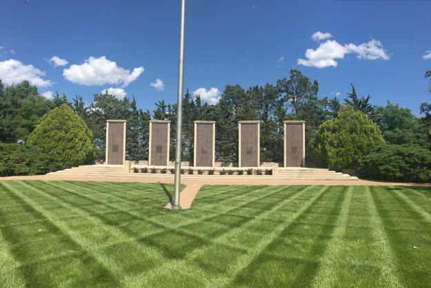
The museum is located in the EXACT SPOT that the former president grew up.

IMG_9951

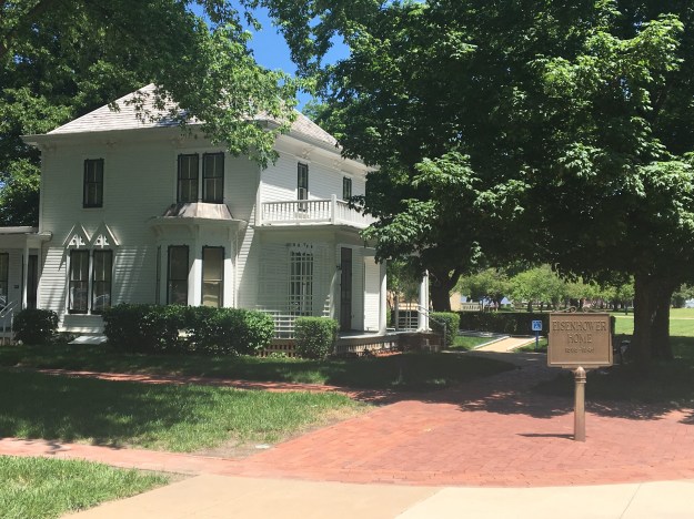
On the museum campus is Dwight Eisenhower’s boyhood home, and, with admission, visitors get a brief tour of the house.

Ike_Museum_Location

Map from Museum’s Webpage- does not include parts of I-35

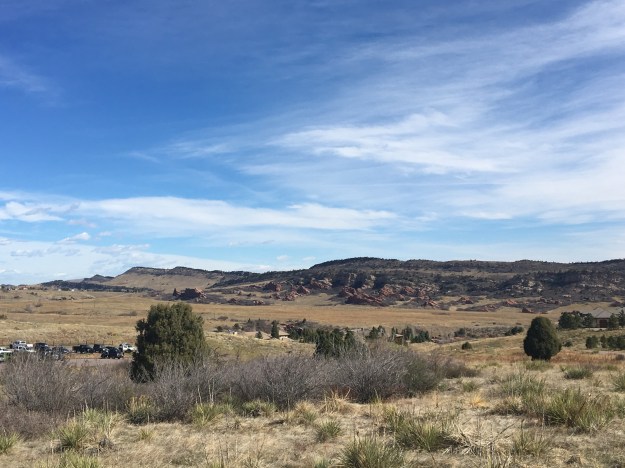
The museum is only a few miles from Interstate 70. As president, one of Eisenhower’s signature accomplishments was the signing of the Interstate Highway Act in 1956. So, it seems fitting that this interstate highway system would find a way to serve the town Eisenhower grew up in. Arriving here without using the interstate would feel wrong in a way.

IMG_9960.jpg

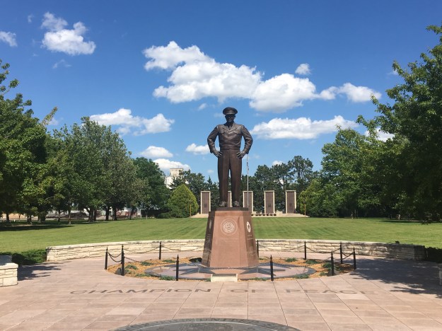
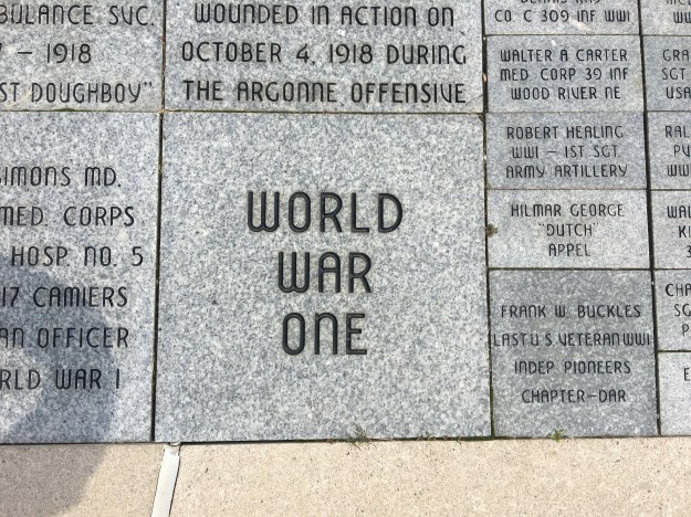
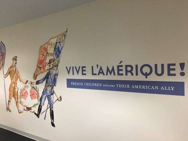
Every president, no matter the background, has two stories. A story about what they did before they became president, and the story about what they did as president. Before becoming president, Eisenhower was known primarily as the general that oversaw the Allies European Victory in World War 2.

In fact, Eishenhower’s military career, and exhibits regarding World War 2, appear to make up the largest part of this museum. Later in life, Eisehnhower himself considered his role in the military as the most significant one he had played. In his retirement, he preferred to be addressed as “General Eishenhower”, as opposed to “Mr. President” (which is how former presidents are usually addressed).

IMG_9997

After helping start the North Atlantic Treaty Organization (NATO), he decided to run for President of the United States in 1952. The museum portrayed him, in a way, as a reluctant president. There is no way of knowing what truly is inside anybody’s heart. However, the way the story is portrayed is not of a man with a strong desire to become president, but of a man who spent his entire life fulfilling the various duties to which he was called. After being called to do so by countless associates, supporters, and both major political parties, leading the nation, as president, was just the final in a series of duties he was called to and performed over the course of his life.

IMG_9950.jpg

The entire life story that is Dwight David Eisenhower felt like a story out of a completely different time in history. This idea seems almost like a long-dormant old folklore in American culture. The hero turned leader. A person who wins the adoration and respect of a large group of people based on some heroic acts and then goes on to lead decisively, yet not divisively. A person who sincerely tries to lead all the people, rather than just the ones that are supportive. And, a person who finds a way to be both transformative and a consensus builder with views that are strong without being extreme.

[I will leave the exact details of his presidency to the history books and the museum itself.]

This feels, in a way, like the exact opposite of what has been going on recently. When it comes to this idea of a military veteran/ war hero president, there are plenty of examples throughout history, but no clearer example than Eishenhower.

I do not want to make this another angry political blog (there are way too many as it is), but I do not consider our current president, nor his predecessor, to be a hero, at least not in a general sense like the heroes past. Sure, both men are heroes to a subset of our population. However, both men were also dismissive, and sometimes in a nasty way, to other groups of people within our country. Being the first president of mixed racial background, or the first non-politician president may be important steps for our country. But it’s hard to consider being a community organizer or a business tycoon “heroic” in the traditional sense.

IMG_9966.jpg

There is a time and a place for everything. Maybe the middle of the 20th Century was the time and the place for the hero. It could be seen throughout the culture of that time; the Western Hero/Villain movies, characters like the Lone Ranger, and such. Our society has changed significantly since then. Movies this decade more commonly feature protagonists with some form of character flaw, and antagonists who draw some amount of sympathy based on their life experiences or perspectives.

As our culture progresses, we enter a period where maybe we should not look to a hero, but within ourselves. Most of the problems we face today are not as straight-forward as a General coming in and defeating Nazis. They’re more complex, like structural racism which results from the cumulative effect of people’s individual attitudes and pre-conceptions, the negative emotional and communal effects selfishness and the accessibility of smart phones create, or the susceptibility of those that feel disenfranchised to messages promoting radical and sometimes violent behavior. They are not solved by a leader, an army, or a bunch of laws. They are solved by each person’s behavior, one by one, day in and day out.

The World War 1 Museum

IMG_9874.jpg

In my history classes in Junior High and High School, we spent plenty of time covering World War 2. In retrospect, I realize that the reason people love to talk about World War 2 is that it is the closest thing in history to a real life battle between good and evil. Nearly every other war, struggle, or conflict, no matter how it is portrayed in the history books, is far more nuanced.

What I learned about World War 1 can be rudamentally summed up into the following sequence of events….

  1. Some archduke got assassinated
  2. There were so many entangling alliances that countries one by one started declaring war on one another
  3. There were these trenches and a lot of people died
  4. America came in and saved the day

I later read that World War 1 may be way more significant than the amount of coverage it got in history class.  So, when I found out that Kansas City had a museum dedicated exclusively to World War One, I decided it was worth a visit.

img_9873.jpg

The main part of the museum depicts the war’s events in chronological order. Visitors walk through the museum, with the chronological order of events displayed on one side and a mixture of war artifacts and other exhibits on the other.

The museum is pretty well balanced between the global USA-specific perspectives. The first section is dedicated to the events before the United States entered the war (1914-1916).  In the middle, a video describes the sequence of events that lead to our entry into the war. The final section is dedicated to the events of 1917 and 1918, as well as how the world was changed by the war.

To truly get the most out of a visit to this museum, I would recommend setting aside at least a couple of hours to read through the full list of chronological events.  If you are like me, and always have a burning need to both think and talk through the implications of everything you read, an additional hour might be necessary.

I came away from this museum with an even greater understanding of how nuanced this war was. First of all, in some ways, this war is often seen in a historical context as inevitable. Nationalism was on the rise, there were ongoing technological and geopolitical changes, and there were all of those alliances. But, the war also started by accident! The mission to assassinate Archduke Franz Ferdinand was aborted. However, the assassins that shot him did not get the message, and assassinated him anyways. This one event would trigger a cascading of war declarations that would descend nearly the entire world into war!

Also, in most wars there is one side that wins and another that loses. While this war had a winning and losing side, there were some exceptions. For example, Russia sided with the alliance that won the war. But, their war was on a different front, and, with a revolution at home that caused them to exit the war 18 months prior to the war’s conclusion, well, they lost. They clearly lost, and lost territory. Italy, the perpetual side switcher of Europe, also pretty much lost. And, the Serbians and Slavs, subjected to Austro-Hungarian rule, despite being on the losing side, won- they won their own nations.

IMG_9919.jpg

By the end of the day my mind was feeling, well, just busy. While looking backwards, 100 years in time, my mind kept drifting to the future. In a way, World War 1 created the modern world.  It created the shapes of many of our countries as they are today, but also solidified the concept of the modern nation. Before that there were far more empires, as well as loosely bound city-states. There are also a frightening number of parallels between the world leading up to World War 1 and the world today.

I just kept thinking about what is ahead in the context of what had already occurred. The world was not always the way it is today. It would be foolish to assume it won’t change in the coming years. Three decades from now, the very way our society is organized could be quite different from what we know today.

IMG_9921.jpg

The museum also had several special exhibits, the best of which covered how the war-torn French reacted to the United States entering the war in 1917. Children in school throughout France were asked to draw pictures, and write essays, describing how the U.S. entry in to the war made them feel.

IMG_9920

Why is it that we commonly get what we want at the wrong time? I remember joining alongside my classmates in school in groaning when asked to do additional assignments such as this one. Now that I am a full fledged adult, I often desire nothing more than to spend my days doing the kinds of things my teachers would ask me to do in school, rather the work I must do to earn a living. I imagine many young adults feeling the same way.

The other special exhibits at the museum covered revolutions and signs of how the world was changing, murals, maps of the conflict, artifacts such as Wilson’s war proclamation, and posters encouraging people at home to support the war effort.

The museum does contrast with some of the more recently built museums I have visited. Museums built or fully updated in the past ten years tend to have two distinctions from older museums.

  1. Far more interactive exhibits, and interactive exhibits geared not just toward children but also towards adults.
  2. A greater willingness to take a somewhat critical view of history from the protagonist perspective, such as the Colorado History Center’s exhibits about Japanese Internment Camps, racial resentment in Denver, and the Sand Creek Massacre.

This museum largely lacked these two features. There were only a couple of interactive exhibits, and they were quite basic.

IMG_9925.jpg

The war posters, both in the main section and the special exhibits, refrained from depicting the extremely negative portrayal of German-Americans during the war effort, sticking to propaganda posters encouraging citizens to buy bonds and such.

Likewise, the censorship and jailing of political opponents under the Wilson administration (among its other misgivings) are really not touched upon. Still, I came into my visit to this museum with a hard opinion that our entry into this war was a mistake, and was at least able to see a new perspective on this when reading all of the facts here at the World War 1 museum.

Barbecue and Beer in Kansas City

IMG_9893

Kansas City is one of several places in America known for their barbecue.  Recently, Travel and Leisure magazine ranked it America’s best city for barbecue.  In other rankings, the city almost always places in the top 3-5.  While barbecue is sometimes the subject of fierce debate, Kansas City has a distinct barbecue style that appears to always be part of the discussion.  Regardless of how any specific barbecue fan feels about Kansas City’s sweet, savory, and saucy barbecue style, it has certainly earned significance in culinary circles, and it certainly has its fans.

IMG_9922

I came to Kansas City with only one food agenda… I wanted barbecue.  I did not bring up any specific places or dishes.  I just knew I wanted barbecue.  I’d leave the rest up to the locals.

IMG_9883

The first place I found myself was a place called Joe’s.  I was already encouraged by the name.  For some reason it feels like the restaurants with the best local food in the United States are named just someone’s first name (examples [1][2][3]).  I wonder if this is the same in other countries.

IMG_9887

We waited in line for close to an hour to eat at Joe’s.  This may be partially due to the fact that it was Memorial Day Weekend.  But, I cannot imagine that this line is too much shorter on any other Saturday in the summer.

Without even making the specific request, I found myself at one of Anthony Bourdain’s 13 places to eat before you die.

One can clearly see that this is the kind of place that values their sauces, and a variety of sauces.  This contrasts the barbecue style of Kansas City with some other places, where I was told there is greater emphasis on the meat itself, how it’s cooked and how it’s spiced.

The portion sizes ended up being somewhat deceptive.  I ordered the rib dinner, which included a half a slab of ribs, Texas Toast, and a side.  It did not look like a lot of food, but I found myself fuller than I had felt in quite some time!

IMG_9908

The next day we went to a barbecue establishment with a different feel.  Whereas Joe’s is actually in a gas station, and in Kansas, B-B’s is in Missouri, and feels more like what most barbecue places I’ve been at feel like.  The walls are more densely decorated than an Applebees, and plastic red and white table cloth covers the tables.

IMG_9909

Side note:  While technically, Kansas City, Kansas and Kansas City, Missouri are two different municipalities, they don’t feel too different.  If it weren’t for the highway signs, or the road named Stateline Rd. I would probably be unaware that I am entering a new state.

As if traveling food shows were somehow my destiny for the weekend, B-B’s Bar-B-Q was featured on Guy Fieri’s Diners Drive Ins and Dives.

It was another phenomenal meal, but once again, I overate.

In addition to eating more than I typically do, I drank after both meals, much of it being in the form of beer.  Beer, of course, is one of the most filling forms of alcohol.  So, while my tastebuds enjoyed this entire experience (Boulevard Brewing makes some excellent beer), my body was not happy.  I came away from this weekend not knowing how people here are able to eat and drink this way on a regular basis.

Despite this, it was still an amazing experience, and I got to see other things that Kansas City has to offer, including their downtown and historic Power & Light district (there has to be a reason for this, but I did not bother to look it up).

IMG_9898

One thing that plagues the modern world, and particularly my generation, is mental exhaustion.  Our minds are exhausted from the information overload which often results in analysis paralysis, which becomes extremely inefficient and exhausting.  When planning activities, we often give ourselves the following choices:

First is to select an activity that is familiar.  One that has already been done, and we are familiar with.  With this, we get a good experience without exhausting our minds planning.  However, there is no expanding our horizons.  Choosing all of our activities in this manner will inevitably lead to a rut.

The second is to do extensive research, spending hours on Yelp, Tripadvisor, and similar sites.  This, will usually ensure a good experience, but at the expense of exhausting research and planning.

The other option is to just wing it, making quick selections based on gut instincts.  This minimizes the exhaustion in selecting activities.  However, it can often lead to sub-par experiences.  I used to love to eat at randomly selected restaurants in the central business districts of small towns.  This practice lead to some unexpectedly amazing experiences.  But, there were quite a few disappointments as well.

My experience in Kansas City provided me with yet another reason community and trust are so valuable in our society.  By knowing people who are knowledgable on the subject of barbecue, I found myself at two truly great barbecue places without having to spend time researching places.  I relied on the knowledge of others.  This is something I hope we all can do more often as we seek out new places and experiences.

Across Kansas on Interstate 70

IMG_9831
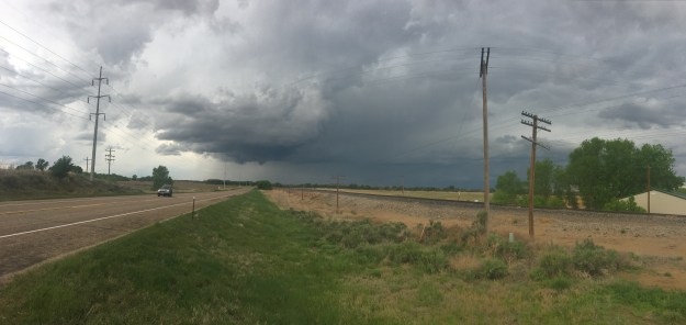
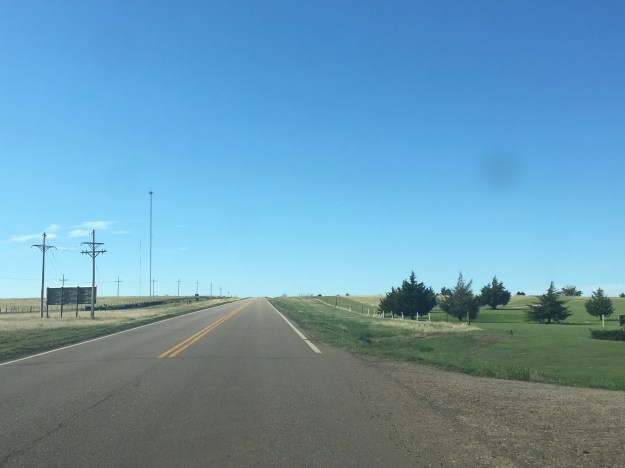
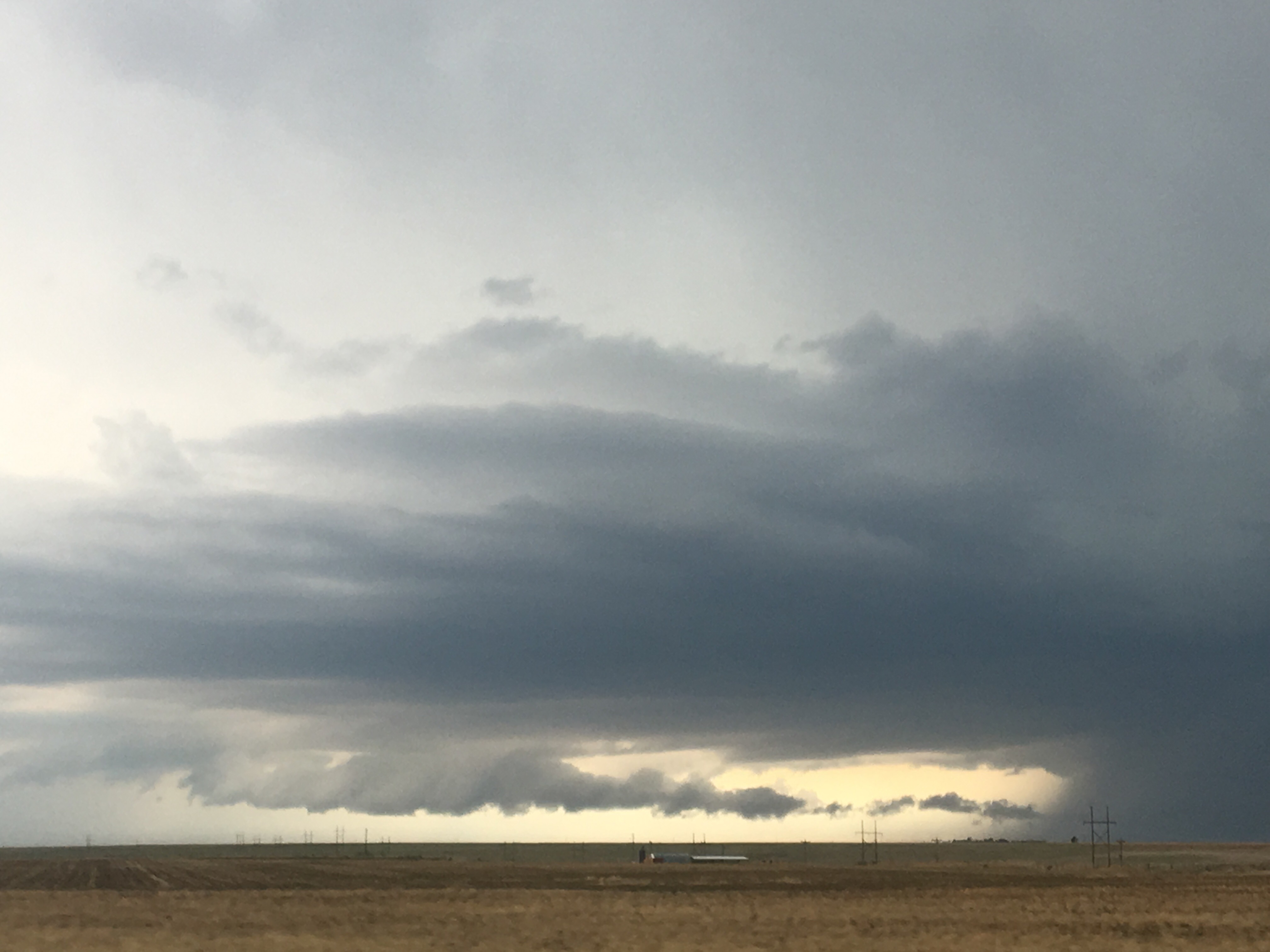
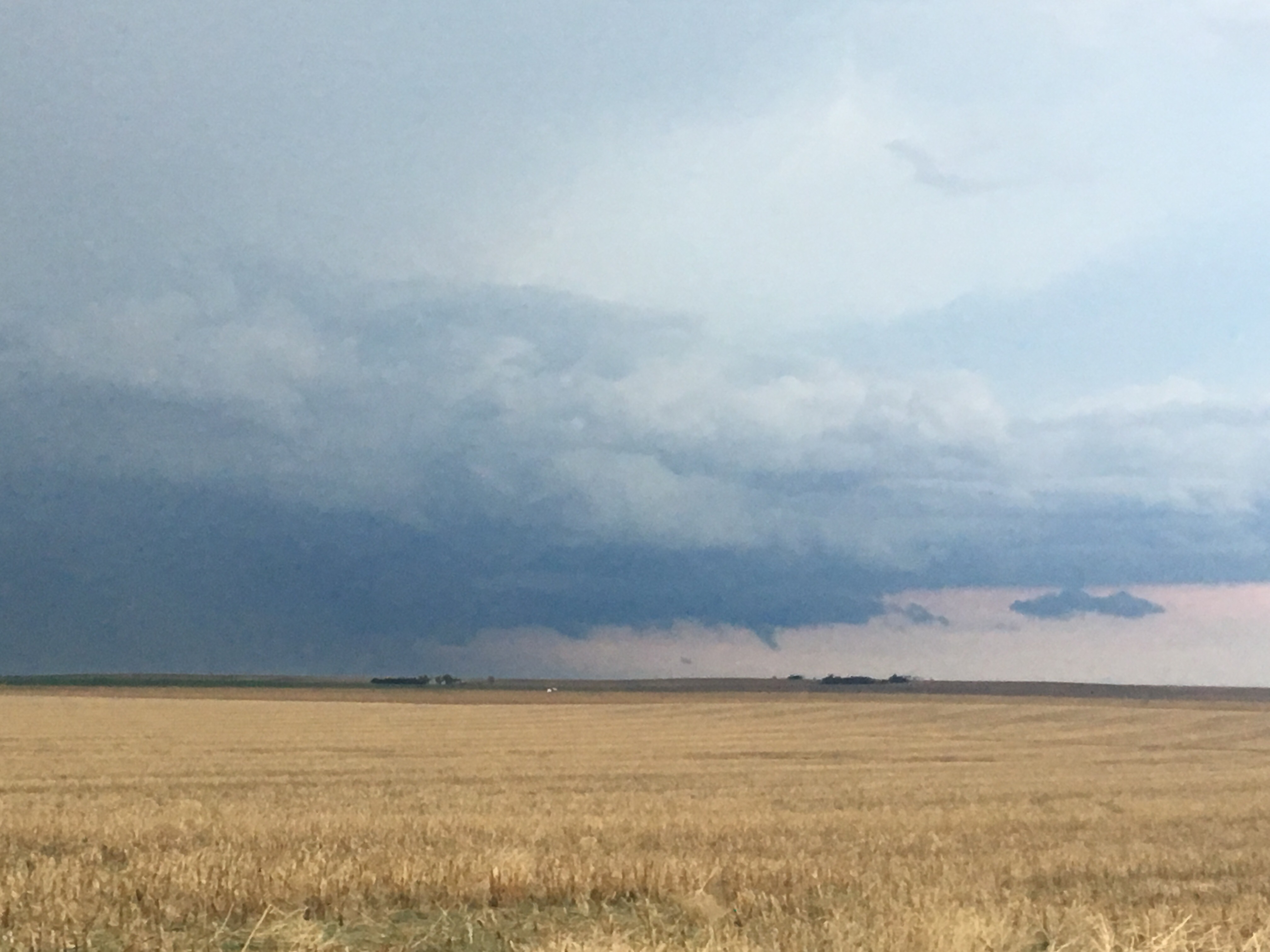
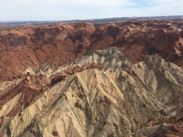
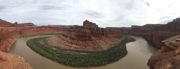
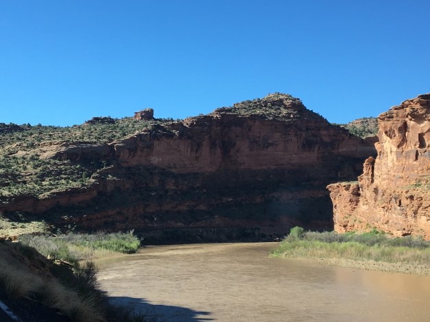
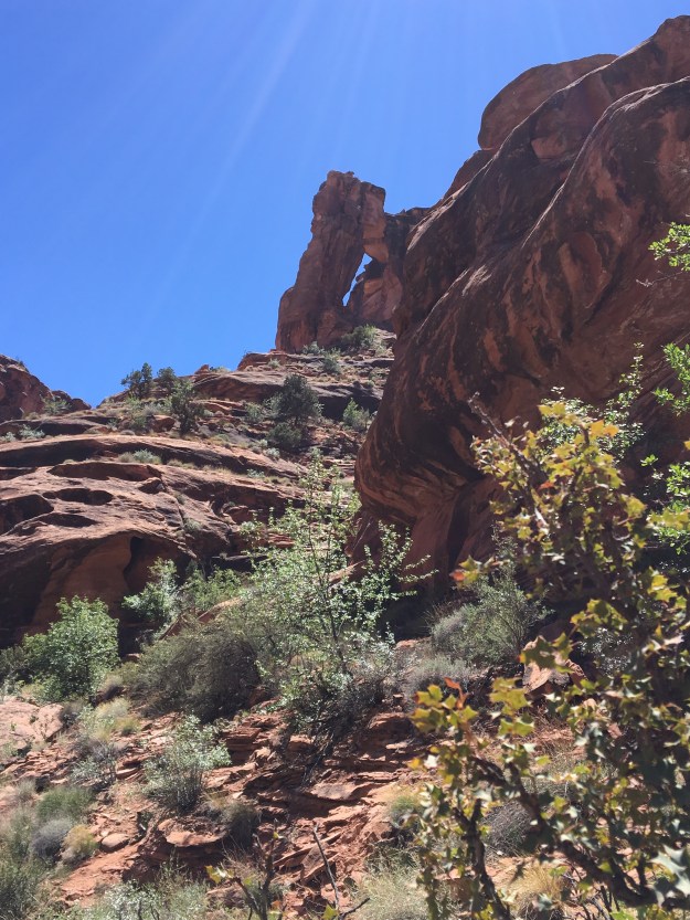
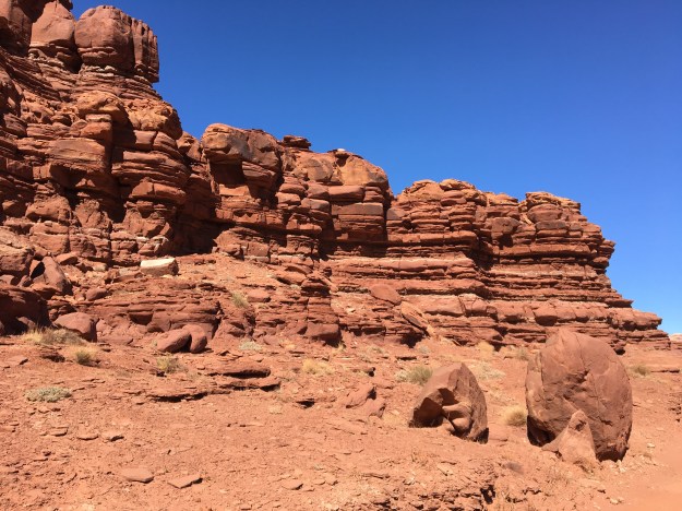
People generally don’t seek out the opportunity to take a road trip across the state of Kansas.  It is certainly not on the list of scenic drives in the United Sates, and will never compare to the majesty of places like the Pacific Coast Highway, Yellowstone, the Adirondacks, or the Grand Canyon.  Getting across Kansas on Interstate 70 takes, at a minimum, five and a half hours, with each mile often looking quite similar to the mile before it.

IMG_9839

However, this is still a heavily traveled road.  In fact, each year more people end up passing through Kansas along this route than end up visiting some more scenically spectacular, but far more remote, places like Crater Lake or Big Bend.

Each year, millions of Americans end up traveling across Kansas on I-70, or along similar routes across the Great Plains, mostly passing through on the way to some other destination.  After all, Kansas is the site of the mid-point of the continental United States.  It is naturally going to be on the way to and from a lot of places.  Any cross-country road trip does require trekking across the Great Plains.

IMG_9830

Frequently in life, people will look at what is directly in front of them, whether it be their homes, their jobs, a social situation, or even a specific event, see it as less than ideal, and insist on remaining focused on what makes the situation, well, less than ideal.  This is the easy way of handling such situations.  It is a trap I often find myself falling into.  However, while it is comforting to endlessly lament a circumstance, it is not productive.  It does nothing to improve the situation at hand.

Kansas itself, in a way, knows what it is.  It is not the peaks and valleys of Rocky Mountain National Park, the majestic maple trees of New Hampshire in autumn, or the amusement parks of Florida.  Most people here are driving through, and most of the accommodations along the interstate are clearly geared at travelers.

And, occasionally to people who need to get out of the car and explore some things along the way.

Kansas also seems to be a place that embraces what it is.

IMG_9949

As well as what it once was.

IMG_9944

Even if in many cases its significance then is no different than its significance now; a place people generally pass through on the way to somewhere else.

In my own experience, what typically happens on drives like this is strikingly similar to what occurs in the process of meditation.  As is the case when I attempt to rid myself of unnecessary distractions, turn off all forms of entertainment, and reconnect with my own mind <link to disconnect to connect blog>, I get anxious at first.  I long for something, anything to emerge to entertain me.  I need to adjust.  To let go.  And after that process, I get to a place where I can finally see the beauty of the surroundings.  After driving across this landscape for a couple of hours, I saw this place for what it truly is, actually quite beautiful.  As was the case on previous trips, I spent some time just soaking it in.

IMG_9976

I am reminded that, when we embrace our situations for what they are, even if they are not what we had hoped for, we can often still find some beauty in it.

It may not be what we had hoped for, but, as long as we continue to move, our destination will eventually be reached.

IMG_9922.jpg

And, sometimes even the journey to the destination gets a bit more interesting.

One thing many do not realize is that the section of Kansas that follows the Kansas River, from Manhattan, through Topeka and Lawrence, and into Kansas City is far more lush and hilly than other parts of the Great Plains.  The area ends up feeling way more like the Midwest.

Greyrock Mountain- An Ideal Hike for May

IMG_9765.jpg

For the majority of people who like to hike on weekends, or in their spare time, hiking anywhere in the American West in the month of May requires two additional considerations.

  1.  There is typically still a residual snowpack at higher elevations.  While this can vary quite a bit from year to year and even day to day, even on a warm, sunny day, those that don’t want to encounter slippery conditions or deep snow covering the trails should generally stick to lower elevations.  In Colorado, that generally means below 9500 feet in elevation.
  2. Although everyone’s body behaves differently, most people still respect the seasonality of the activities they take part in, hiking less frequently in winter than in summer.  Therefore, most people still need to, in some way, work up to the most challenging hikes they will take on later in the summer.

IMG_9733

Tucked away in the Poudre Canyon 15 miles West of Fort Collins, Colorado (which is an hour north of Denver), the Greyrock Trailhead starts at an elevation of roughly 5600 feet.

IMG_9734

The hike to the top of Greyrock Mountain, on the most direct path is 3.1 miles, with an elevation gain right around 2000 feet.  For those who spent their winters either sedentary or on unrelated activities, and maybe have done two or three hikes thus far in the spring, it is strenuous enough to help get the body back into summer mode.  And, topping out at 7600 feet, it remains well below the elevations where residual snowpack and large amounts of mud would still be present on a sunny day in May.

IMG_9731

Of course, many people are aware of these seasonal considerations.  Therefore, the area does get busier than usual, particularly if it is a nice day and/or on the weekend.

Still, there is plenty of quiet to be found on this appropriately named mountain, just not the level of solitude one would expect on, say, a remote backpacking trip.

On the 13th of May 2017, a dry day in which Fort Collins reached a high temperature of 85F (and was preceded by two dry days) nearly all of the trail was dry.  It was only in certain sections, close to streams, where mud would appear.  These sections got interesting, as groups of butterflies, both red and blue, would loop around the sky, periodically congregating in and around areas of standing water.

IMG_9745

The blue butterflies are actually extremely well camouflaged, only showing their color when the wings are flapped open.

IMG_9751

IMG_9755

A closer look at the muddy surface reveals dozens of these butterflies nearly completely blended into the muddy surface, something many hikers don’t even notice!

IMG_9761.jpg

Roughly 2/3 of the way up, the first real scenic overlook is reached.  This is the point just before the two trails merge back together, at an elevation of roughly 7000 feet.

The final 600 feet of ascent looks, well, far more daunting than a typical 600 foot climb.  And, well, it is.  After a short flat area, following the scenic overlook, the trail begins to climb up a series of rocky areas, often referred to as “scrambles” by hikers.

These parts require some strategizing, both on the way up and on the way down.

The final section of the trail is the one area where it is possible to get lost.

On top of rocks, the trail passes by several lakes, where the sound of frogs can be heard, and is marked only by periodic signs 2-3 feet tall and the occasional standard rock pile (referred to as a Cairn).

IMG_9783

The summit is also just kind of a series of rocks, that need to be climbed over to reach the best lookout point.  Being at the top of Greyrock Mountain is somewhat of an unique experience.  In some ways, it feels just like being on top of the world, as noting in the immediate vicinity is at a higher elevation.

IMG_9792.jpg

However, out on the horizon to the West and Southwest reveals mountains whose peaks dwarf this one by over 5,000 feet.

It feels like a metaphor for a certain life situation that nearly every human being will find themselves in at one point.  The mountain has been climbed, a goal has been achieved, and there is reason to celebrate… temporarily.  But, there is still a lot that must be done, and much higher aspirations.  It is finishing a degree and moving on to start a new job.  It is successfully navigating nine months of pregnancy now knowing that it is hard work to raise another human being.  It is knowing that one has achieved as much as is possible in a current endeavor, and that there is something more meaningful, a higher calling, awaiting that requires a pivot, a new strategy, and renewed effort.


May 10, 2017: Funnel Cloud in Southeast Colorado

IMG_9723.jpg

May 10th was kind of a strange storm chasing day for me.  It was the kind of day that calls into questions a whole bunch of things for me.  What assumptions I make.  How I go about making decisions.  Both with regards to where and when to chase, as well as about life in a broader sense.

There are so many things that end up factoring into when and where people chose to chase severe thunderstorms.  I had chosen to go on this two-day chase (see day one) partially out of frustration I was experiencing back home.  It was one of those situations where I felt like it would just be good for me to do something I had not done in a while, for a change of pace, and I had yet to chase in 2017.

So, I went to chase on a Tuesday and Wednesday with only a slight risk for both days, something many people with jobs tend not to do, particularly when the outlook shifts so far away from home on the second day.

In fact, I was not even sold on chasing again on Wednesday, as leftover storms from Tuesday would prevent the area that I had originally thought would have the best dynamic setup for storms from developing the instability needed to fuel them.

I decided to stay out partially because of the more optimistic outlook from the Storm Prediction Center, and partially because I got an email from a friend, telling me he was excited about the outlook… in Southeast Colorado.

Still, I decided originally to target Southwest Kansas.  Given the outlook, the best place to be would have been well further south, at least into the Texas panhandle.  But, you know, those life considerations.  I did want to make it back to Denver that evening.

IMG_9657.jpg

Whenever in Western Kansas, I always kind of think the same thing.  This place is flat, but it is not as flat as Florida, or Northern Illinois.  People often assume the place is flat.  But, according to a study in National Geographic, Kansas is not even in the top 5 flattest states.

One aspect of storm chasing that is often missed by people watching storm videos, or the movie Twister, is the fact that storm chasing involves a lot of driving, and it also often involves a lot of waiting.  On many days, chasers pick a “target” location, where they believe storms are likely to form, and sit there, sometimes for hours, waiting for them to form.  Because it was unrealistic to get down to the Texas Panhandle and still get back to Denver in the evening, we chose to sit in a town called Ulysses, Kansas because my favorite weather website had analyzed another boundary near there.

Ulysses, by the way, was named after Ulysses S. Grant, Civil War general and 18th President of the United States.  Why a place like this cares so much about this historical figure from Galena, Illinois confuses me a bit.  But, at least the town had highways in all four cardinal directions, and an empty field with a cell tower, so we could look at weather information while we wait.

And, this requires patience, and continued belief that the right location had been chosen.   But, May 10th was not a typical day.  Storms started to form in this region, first just clouds, and then even some small thunderstorms.  I was even proud to have seen a storm  start to produce rain before the RADAR images even began to reflect it!

IMG_9693

Now, that’s what I call “catching initiation”.

The problem is, we caught the wrong initiation.  These storms would never amount to anything.  In fact, they were so small that when I zoomed out on a RADAR image, they were barely visible!

IMG_9701

It turned out that, despite the fact that some of the sites I typically look at for weather information indicated some potential, we were in “no man’s land”.  The boundary I thought was situated near the CO/KS border was actually farther West, and storms were forming … in Southeast Colorado.  So, we had to adjust, headed back into “Colorful Colorado” (although today it would be “Colorful” for different reasons).

It was there we saw the main feature of the day, a funnel cloud near the town of Lamar, CO.

IMG_9722.jpg

For a while it looked like it was rotating and trying to form a tornado, but from experience I know that in Eastern Colorado only 1 in 8 of these actually turn into tornadoes.

The entire day was kind of a head scratcher.  What did my friend see that I didn’t?  What did he see that SPC kind of didn’t?  Why did so many storms form north and west of where the outlook was?

Why did my the information sources I typically point to lead me kind of to the wrong place?

I also wonder if I was chasing the right way, and for the right reasons.  The weather bends to nobody’s schedule.  The weather doesn’t care about personal preferences, conveniences, one’s life situation, or ego.  We have tools that provide good guidance into what is going to occur.  And, those tools pointed to a clear spot that they were correct about, as the biggest cluster of tornado producing storms of the day formed in Northwest Texas, near Childress, crossed into Southwest Oklahoma, and produced tornadoes.  That just didn’t fit into my plan.

The chase ended up turning into somewhat of a metaphor, for life decisions in general.  When we chose to take part in an activity, of any kind, we get the most out of it when we are willing to go “all in” per say.  This is true of jobs, hobbies, relationships, you name it.  We have to be willing to adjust, and consider a whole bunch of circumstances and other factors.  But, sitting in the middle, waiting for two or more different opportunities to possibly manifest only works well for a little while.  In the end, a choice needs to be made, and even if it is not the ideal choice, the fact that a choice was made produced a better outcome than having allowed the entire day to lapse without making one at all.

Storms With Abnormal Structure

One of the things that makes this world so amazing is the fact that we never cease to encounter surprises.  No matter how well we get to know a subject, any subject, we will encounter, and observe, from time to time, that which does not fit closely into the patterns we have learned.  We will periodically be tested, in our knowledge, and forced to rethink, and once again reason out what we have seen based on our critical thinking skills and understanding of our favorite subjects.  Like the psychologist that talks to someone new and says “I have never seen this before”, these experiences rekindle the passion we have for that which we love, remind us how complicated the world really is and how little we really know, and remind us about how interesting of a place the world truly is.

The 9th of May 2017 was a confusing chase day for me.  It is one that I am still trying to figure out, much in the same way the scientific community is still trying to determine why some storms produce tornadoes and others don’t.

SPC_Day1_2017_0509_1630

The day began with a slight risk across Eastern Colorado and New Mexico, and reason to believe, based on model output and expert opinion, that it could be a decent setup for a storm chase in East Central/ Southeastern Colorado.

The day ended up being one where I followed over half a dozen storms, over the course of the afternoon and early evening, northeastward, from near La Junta, Colorado, to just north of Goodland, Kansas.

Regardless of where a storm was positioned, both relative to other storms, and relative to atmospheric boundaries such as dry-lines (the boundary between moist and dry air), which are credited with creating the lift in the atmosphere that often creates storms, all the storms would behave in much the same sort-of standard but sort-of not manner.


They would cluster together and come apart.  They had the standard boundary one would observe between the inflow and outflow portions of the storm.


Some would even show something that look like a “lowering”, which is often an indication of the mesoscale rotation that causes tornadoes.

But, these “lowerings” would show up in some strange sections of the storm, including in the front part of the storm.  This is absolutely nothing like how anyone is taught that a “supercell” thunderstorm operates.

Supercell

In the end, storms did occur, but largely outside the region SPC highlighted that morning.

Storm_Reports_20170509.gif

And, in the areas of Colorado and Kansas I had chased, nothing more than a couple of hail reports.  Although, I am quite certain that there was far more hail than what is shown on this map, as I recall driving through some areas where hail covered the ground, including multiple areas near Burlington, Colorado.


I watched these storms tease us all day.  Everything just seemed, well, weak.  In a typical tornado situation, these random-ish clouds that form around a storm, often referred to by chasers as “scud” (I don’t know why), rise and rotate, indicating that there is indeed, the vertical motion and rotation that produces tornadoes.  But, today, the rising and rotating motion in these storms all seemed, well, just weak.  It reminded me of a relationship, or a friendship, that just fizzles away as soon as any small change occurs.  It was not that there was any kind of real force or circumstance pulling these people apart.  It was just that whatever connection they had was not strong at all.

That is the way it was with these storms.  Something about the entire setup made them behave differently, but I throughout the evening, as I watched the final storms roll away into the sunset.  I could not formulate the full reason as to why these storms behaved so differently from a standard severe thunderstorm situation.


I am still wondering.  Often times severe thunderstorms don’t materialize because one key “ingredient” was missing.  Shear, instability, a good boundary, etc.  And those often lead to what is refereed to as a “bust day”.  It’s just sunny.  Or drizzly.

May 9th was not a complete “bust”, as there were storms to look at all day.  They likely never became severe because everything about the storm setup was just kind of weak:  Weak to moderate instability.  Border line helicity.  A sort of weak boundary.

And, just like the storms themselves, with multiple areas of quazi-rotating clouds, the atmosphere as a whole had no real focus.  Often times, severe thunderstorms draw upon air from hundreds of miles away for energy.  This produces scattered, but strong storms.  With hundreds of active storm cells, there was less energy for each individual storm.


Of course there are other theories.  After all, it could have all been the lack of low-level shear.  But, in the end, it felt as if the entire day was telling me something.  It was like a crash course in how to create, well, mediocrity.  Have only part of what you need before you proceed.  Focus on nothing- just spread yourself real thin.  And, choose to follow some of the rules, but completely disregard others.

The Cherry Creek Farmer’s Market

IMG_9567

What does it mean to have a “healthy community”?  I am encouraged to see more and more people actively consider their life choices, their environment, associations and just put more thought in general to how they spend their time, energy, and money.  This feels like a dramatic shift from, say, ten years ago.  However, embedded in some of the most high profile public improvement related pursuits in the modern era is an unfortunate residual strand of laziness.  After all, we do want something for nothing.

This often manifests itself in buzz phrases that people use to not-so subtly indicate some form of association with a popular present-day initiative.  Perhaps the one that bugs me the most is the term “sustainability”.  In many of its common present-day uses, the definition of this term “sustainability” has been narrowed to only mean sustainability in the environmental sense, short-changing the term of its full definition, and shortchanging discussions of “sustainability” of their full impact.

IMG_9576

Whenever I ride a bicycle to a Farmer’s Market, I feel as if I suddenly become the personification of the term “healthy community”.  It’s the standard image, embedded in every montage that any health or parks department has put together to promote some kind of health/ community initiative in the past six years.  People riding their bikes to buy pesticide-free produce and meat products from local farmers and ranchers.

IMG_9574

IMG_9571

And there are a few booths that sell those products, including one with that cow diagram that just always confuses me.  Why are there like 50 types of beef?.  However, most of the booths at this Farmer’s Market are not vendors selling food.  In fact, I saw a somewhat random assortment of products that made me curious as to how one goes about determining what is appropriate for a Farmer’s Market.

And, as is the case with any other Farmer’s Market I have been to, there were plenty of booths where one can get food that is, well, not healthy.

IMG_9573

In Wisconsin, any Farmer’s Market I would attend would have a good number of booths selling cheese curds.  If the country ever breaks up into its 50 states, and Wisconsin becomes its own country, it would probably stock pile cheese as a strategic reserve, much the same way Canada stock piles maple syrup.

I would say a majority of the food vendors at this Farmer’s Market offer food that is not typically considered healthy; including many different varieties of baked goods, food trucks, and a bunch of stands that sell items like tamales and burritos.

Interestingly, several booths at this Farmer’s Market are operated by Local civic organizations advising residents on how to effectively garden and compost.  This gives this Farmer’s Market somewhat of a unique touch, that contributes to the health and sustainability of the community in a different way.

But, the same way being a successful person is about more than simply becoming “goal oriented”, eating well is about more than just buying things that are “organic”, and having a productive work team is about more than just “synergy”, having a healthy community is not just about initiatives like this.  There are a lot of other factors, culturally, near and far, that make this place what it is.

IMG_9554

Regardless of what we are trying to achieve, it takes time, effort and active participation.  We all want something for nothing.  We want to be able to claim some sort of accomplishment, moral validation, status or belonging by claiming association with some positively viewed buzzword, and maybe taking part in a token activity like going to a Farmer’s Market.  But, to really live healthy takes a much bigger commitment.  And there is more to having a “healthy community” than a video montage showing people like me bicycling to Farmer’s Markets.

What we do every day can be healthy, or it can be not.  For most of us, it is both, depending on the situation.  The intellectual rigor we need to truly evaluate our lives, the journey we are on and the communities we live in, involves respecting the complexity that is ourselves, our surroundings, and even places with divergent outcomes like the Cherry Creek Farmer’s Market.  It is at that point, with the understanding of places, activities and concepts beyond buzzwords and vague terms, we complete this transition, elevating our level of intellectual discourse and giving ourselves the tools we need to make the best of our lives and communities.


Moab- An Active Destination

IMG_9301

Some trips are restful, while others are more active.  There are some destinations that lend themselves to more restful trips; cottages in the woods near quaint towns, tropical beaches, and resorts.  Moab, is a place where it is nearly impossible to imagine anything other than an active itinerary, with a variety of activities, and a lot of places to see.  Situated in East Central Utah, several hours from the nearest major city, this popular tourist destination is surrounded by too much natural beauty to picture anyone coming here and spending large amounts of time sitting in one place.

First of all, Moab is surrounded by two National Parks, Arches and Canyonlands.

Both National Parks are, as National Parks tend to be, filled with tons of natural beauty and unique places.  At both National Parks, while it is possible to see a lot of interesting natural features without straying too far from the road, the best features at both parks require hiking.

FullSizeRender (1)

Getting to the signature feature of Arches National Park, Delicate Arch, requires a 1.5 mile hike from the Delicate Arch Trailhead.  Interestingly enough, this trail starts near the historic Wolfe Ranch, and traverses by some other unique features including some Ute Indian Rock art.

It is also quite difficult to imagine making a trip to Arches National Park and not viewing some of the other arches (Yes, it’s Arches National Park, not Arch National Park).  There is a section of the park known as Devil’s Garden, with somewhat of a network of trails taking visitors to all kinds of other arches.

The most famous of these arches is Landscape Arch, a long and wide arch whose name provides a clear recommendation as to how to orient any photograph of this particular feature (for those familiar with landscape vs. portrait  ).

IMG_9345

To get to most of the remaining arches requires a bit of a steep climb, which starts pretty much right after Landscape Arch.

IMG_9346

The hiking in the entire Moab area, not just at Arches National Park, is considerably different from the typical hiking experience.  Much of the hiking I’ve experienced, is on trails covered in dirt, gravel, and sometimes small to medium sized rocks at places such as the top of Quandry Peak.  All around Moab, I found myself on surfaces such as this one, on top of solid rock, sometimes for nearly the entire duration of the trail.  Traversing these trails required me to use my upper body more, and even do a little bit of jumping, from one rock to another.

At the top of this Mesa, there are arches with multiple partitions, arches people can hike under, and even one arch with an opening that lends itself to laying inside it to soak up the sun, the surroundings, and the experience!

The entire loop, including all the side trips in the trail network, is a total of 7.2 miles.  So, if a visitor desires to see all of these features, as well as Delicate Arch, a total of 10.2 miles of hiking is required.

And some people decide to add even more activities to their day.  In a shaded off-shoot of the Devil’s Garden Trail, I witnessed a sizable group of people playing a game of Frisbee, using the walls of this tiny canyon to make trick shots.

IMG_9391

Since immersing oneself in the here and now, and contributing to the local culture of a place creates a more enriching travel experience, I decided to play my part.

First, I decided to bring my own arches into the park..

IMG_9332

Disclaimer: I did properly dispose of that cup

Then, when the opportunity presented itself, I decided it was time that we started making our own arches, contributing to the park’s plethora of natural beauty.

IMG_9374

IMG_9444

Canyonlands National Park is even bigger than Arches, broken up into three sections by the Colorado and Green rivers, whose confluence is right in the center of the park.  Without any bridges connecting over either river, and with the entrances to each section over an hour apart, it is all but impossible to visit more than one section in a day.

IMG_9461.jpg

The most common image of Canyonlands National Park is an almost Grand Canyon-like overlook into a deep river valley, sometimes with one of the two isolated mountain ranges in the background.  However, at the scenic overlooks in the parks’ Island In The Sky region, it is actually quite difficult to see the rivers themselves.  The canyons that make up Canyonlands National Park are quite expansive, with multiple tiers.  To see these canyons from the best vantage points requires a bit of hiking.  The hike to the Confluence Overlook (an overlook of the confluence between the Green and Colorado Rivers) is 10 miles round trip, something that could require the better part of a day!

Canyons are not the only interesting feature to Canyonlands National Park.  Being only roughly 20 miles away from Arches (as the crow flies), Canyonlands has some arches of its’ own.  The most interesting one is an arch called Mesa Arch, where one can see both the peaks of the nearby La Sal Mountain range, and actually another arch by looking through the arch at the right angle!

IMG_9471IMG_9468

And some features are random, like Upheaval Dome.

IMG_9427

Scientists still do not know whether or not this particular salt deposit is a remanat of a meteorite that would have theoretically collided with the earth roughly 20 million years ago.

The two National Parks are not even close to all that Moab has to offer, all of which is “active” in one way or another.  Dead Horse Point State Park, located between the two National Parks, is a place where one can hike to one of Moab’s most picturesque locations: Goose Neck.

IMG_9494

The entire region, regardless of what any spot is named, or whether it contains a state or federal distinction, is rich with abundant natural beauty, and places to hike, bike, jeep, climb, or even just explore.

Anyone driving into Moab from the East (from Colorado), would be well advised to take the additional time it takes to follow the windy State Highway 128 through Professor Valley, essentially following the Colorado River into town.

IMG_9209

We set up camp at a place called Hunter Canyon.

Twenty minutes from town, Hunter Canyon is a place where each part of the day, from sunrise to sunset, lights up a different rock formation.  It felt almost as if nature was putting on a show, with lighting, stage props, and characters coming on and off the stage for different scenes.

I also saw bike trails nearly everywhere I went.  Moab is known as a mecca for mountain biking, an activity we did not get around to (is is… really… impossible to do EVERYTHING in Moab without something like two weeks).  But, with trails like these, Moab is also a phenomenal place for road biking.

IMG_9401.jpg

And, everywhere I went red rock formations, each one distinct from the next, would pop up, in and out of view.

It was next to impossible not to imagine these rock formations as something else.  While driving around, I would often point out to the rest of the group what each individual rock formation looked like, or what I perceived it to look like.  Some, I said looked like specific animals, some looked like people, others, still, looked like various specific objects, such as hammers, cooking utensils, or even a turkey wishbone (by the way, the following image is an arch, residing in neither National Park, they really are everywhere)!

IMG_9237.jpg

And, what amazed me was how often others in my group would actually see the exact same thing when they look at a rock formation and say, yes, I also saw an octopus.  This means that either my imagination is quite accurate, or, I have managed to surround myself only with similar minded people.  Both are very much a possibility!

IMG_9241

But, the analogy I came to in my head most frequently, throughout the trip, is between the rock formations and the ruins of an ancient city.  Every time I saw a structure such as this one, I would imagine what is would be like if, for some unknown reason, there actually was a civilization here, many thousands of years ago.  And each one of these rock formation was actually the remnant of an ancient skyscraper, or even a larger building like Chicago’s Merchandise Mart, weathered down by thousands of years of natural erosion.  I imagined what this ancient city would have been like, in an Atlantis-like scene that would play through my mind.

Since Samantha Brown’s presentation at last month’s Travel and Adventure Show, I had been trying to live in the here and now, and experience the current culture of a place, as she had advised.

For me, this included another new activity (for me)- Jeeping!

IMG_9521

And, I got to experience some crazy roads and some crazy places.

But, as I find in many of my travels, there is no way to truly avoid thinking about the past, and imagining another setting.  A video at the Canyonlands Visitors Center explained the actual process in which these rocks came to be formed, which took place over the course of 200 million years, back to a time when much of Utah and Colorado were near sea level, with some sections underwater and others above.  In fact, that is part of the reason why there is so much small scale variance in the color of the rocks throughout this region.

Everywhere I went, everywhere I looked, there were echoes of the past, both real and imaginary, and both ancient and more recent.

IMG_9507.jpg

The experience of visiting Moab for a long weekend is as jam-packed as I have made this aritcle.  Around every corner, something new, something exciting, and something unique.  While there are some travel destinations, like Miami, one can make as active or as restful as they would desire, Moab is one destination that requires one to be active, at least in some way, to truly experience.  To come to Moab, and not wander, not explore, not do a little bit of hiking, biking, or jeeping, one would miss out on so much of what is around every corner in this region.


Hiking in the Front Range in Mid-April

IMG_9073

April can sometimes be a tough month.  It’s a hard month to plan too far ahead of time, as there is such a wide variety of weather conditions that one can experience in many parts of North America.  There have been instances, in April, where places like Nebraska have experienced both a tornado threat and snowfall within the same day!

This is especially true in Colorado.  Over the past five Aprils (2012-2016), Denver has received snowfall of an inch or more 11 times!  At higher elevations, April snowfall can be almost twice as frequent.  Yet, over the same five Aprils, Denver reached temperatures of 80F (26C) or above 6 times, and highs exceeded 70F (21C), on average, 9 days out of 30, or about 30% of the time.

A typical challenge in April is to find hikes at lower elevations as there is often still a significant snowpack higher up.  April 8th’s snowpack exceeded 40 inches at most places above 8000′ in elevation, despite the period of warmer weather April 5-7.

CO_Snowpack_20170408

Looking primarily at start and end elevation, and for a place I have yet to hike, I selected Deer Creek Canyon, a place, oddly enough I can ride my bicycle to in just under 90 minutes.

IMG_9087.jpg

And, much to my surprise the trailhead is actually located at Colorado’s Center of Population (according to the 2000 census).

IMG_9065 (1)

The quickest route from the trailhead to the top of Mount Plymouth is roughly 2.4 miles.  With an elevation gain of about 1200 feet, this particular hike would definitely fall into the “moderate” category for difficulty.

The other surprise was encountering not just a random structure, but an entire subdivision, roughly half a mile into the hike (taking the shortest route).

IMG_9067IMG_9066

The people who live here seem to have the life!  The houses are quite large, they have a spectacular view of some pretty interesting looking red rocks and rolling hills, and easy access to hiking trails.  Oh, and they live pretty much at Colorado’s center of population.  For a while, we discussed what it would be like to live in a place like this, and whether or not we would enjoy it.  Being fairly close to Denver, I bet these homes are quite expensive.  Yet, moving to a place like this would still entail giving up some urban conveniences.


I had hoped to avoid snowpack and mud, and for the most part we did.  Starting the hike at about 9:45 A.M., at least 2/3 of the hike was in the sun, and those parts of the trail were dry.  Toward the top, some ares with a little bit of mud, and even a bit of slush could be found in shaded areas.  Parts of the area had received close to a foot of snow several days prior, which, despite warmth thereafter, had not completely melted in areas above roughly 6800′ that are shaded from the sun most of the day.

Whether it be on the way up to the top of Plymouth Mountain, or on the return trip to the trailhead, I would certainly recommend following the remaining part of the loop on the Plymouth Trail.

IMG_9078IMG_9096

It was in this section of the loop where we found the best views of Denver’s skyline, and found some more interesting rocks to climb on.

We also veered off the main Plymouth Trail to follow The Meadowlark trail for the final 1.5 miles down to the trailhead.  This trail traverses through forests of short trees with minimal foliage.  I have encountered these trees before, always at roughly this elevation near the foothills of the Rocky Mountains.  It is a unique experience, to be surrounded by trees in all directions, but to still be nearly completely exposed to the sun.  I wonder what conditions make these particular trees grow here.

IMG_9082

And, rather than going by the subdivision again, this trail cuts a bit farther north.  In several places, the trail overlooks the canyon that was carved out by Deer Creek.  I have previously ridden this road on a bicycle.  From the vantage point of the road, it’s hard to to truly appreciate the extent to which the rugged terrain had been carved out by a relatively small creek.

IMG_9084


After a period of inactivity, it felt really good just to be outdoors and active, feeling the sun for hours on end, and smelling the rocks, trees, and dirt.  As a culture, we likely spend way too much time indoors and sedentary.  Something about it just feels a bit unnatural to me- always has.  The entire duration of the hike, I just felt grateful for Colorado, the opportunities and access to so many amazing places like this.

I often tell people who are looking to visit Colorado not to come in April, as well other parts of the year are more exciting.  But, one thing I realized is that, this particular hike, mostly in the sun, with a maximum elevation of 7274′, would likely be very hot in the middle of the summer.  I can only imagine what it would be like with temperatures exceeding 90F (32C).

Many of us reserve the summer months, particularly June through September, for activities that require more travel, more planning, and more certainty.  In April, it is less worthwhile to plan more major activities, as conditions are so variable.  Thus, April is the ideal time for activities that are closer to home and more moderate in nature.  It is a time to embrace some amount of uncertainty, and think on the fly.

In pervious years, I became frustrated with Colorado in April, contemplating leaving for this period of time that is uncertain and commonly fails to deliver.  But, with uncertainty comes the excitement of the unknown, and the possibilities for new opportunities.  In life, we need a balance, between the planned and the unplanned, between familiar and the unfamiliar, and between the distant and the local.  April, and the changing of the seasons in general, ensures that we continue to calibrate this balance.