Places of Questionable Significance

IMG_2460

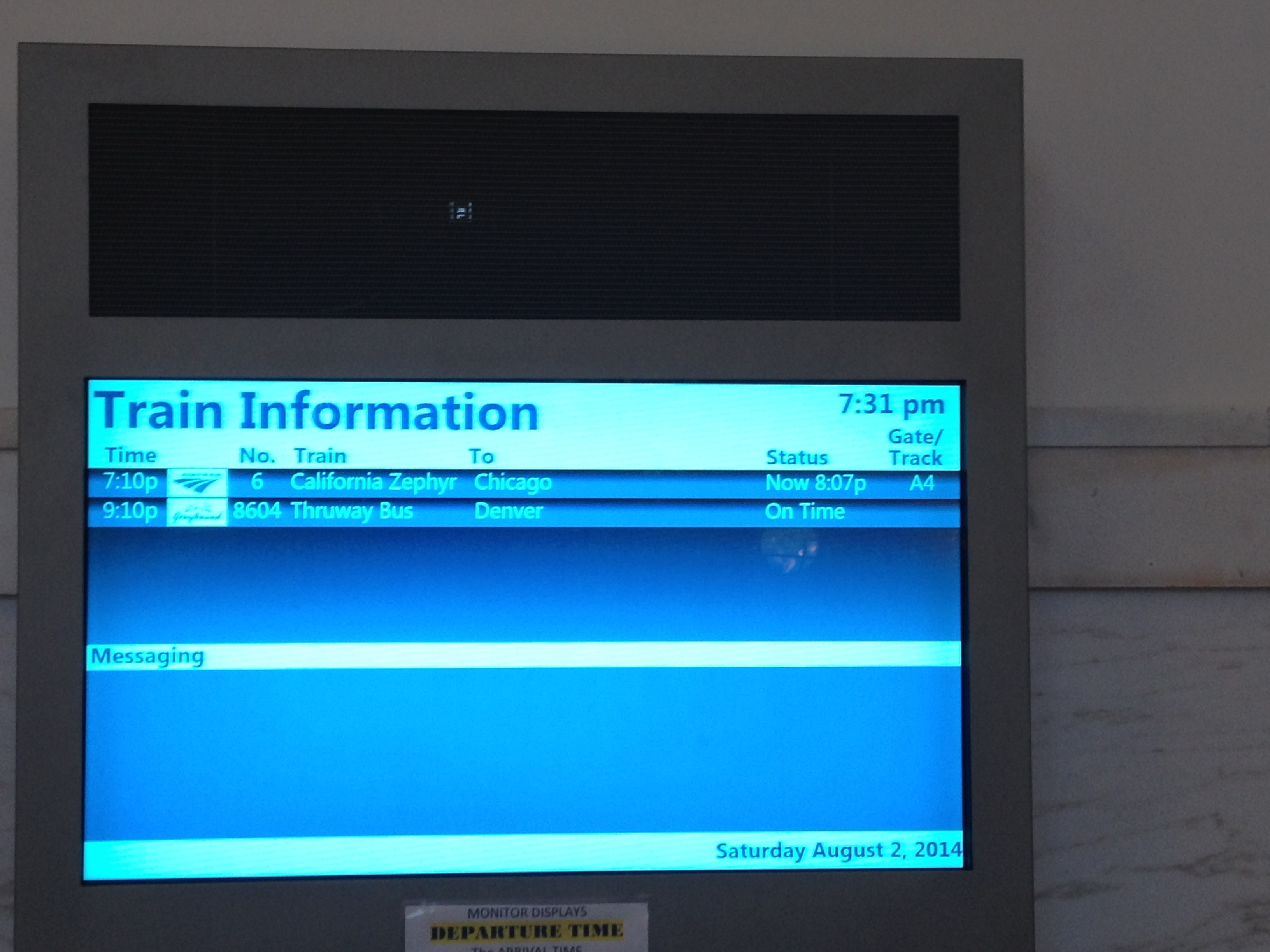
In 1983, an incredibly drunk Ozzy Osborne made the mistake of deciding to relieve himself on the Alamo, a building of historical significance.  He was arrested (Isn’t public urination usually just a ticket?), and scorned by many, primarily due to the fact that the Alamo is an important symbol of pride amongst Texans.  However, to Ozzy, a British rock star, the building probably did not mean too terribly much.  While a sober Ozzy (if that existed in 1983) would probably have realized the building is significant due to the presence of tourists, he probably would not have felt the same affinity or pride when standing in front of the Alamo.

With the exception of a few wide eyed hippies that believe that every place is significant, and a few hard core cynics, that fail to see the significance in any place (or anything), the significance of most places is dependent on the person and the culture.  There is no better of an example of a place like this than Four Corners, U.S.A.

Four Corners is unique due to the fact that it is the only place in the United States where four states all border one another.  If one wanted to stand in five different states at one time, it would not be possible.  If one wanted to stand in four different states at once, there is only one place where it can be done; Four Corners Monument.

IMG_2455 IMG_2456

The primary reason people visit this particular monument is to take silly pictures like this one.  Assuming the location of the four-state border is correctly marked (some question that is in the right place), in this picture I am in four states at once.

IMG_2462 IMG_2468

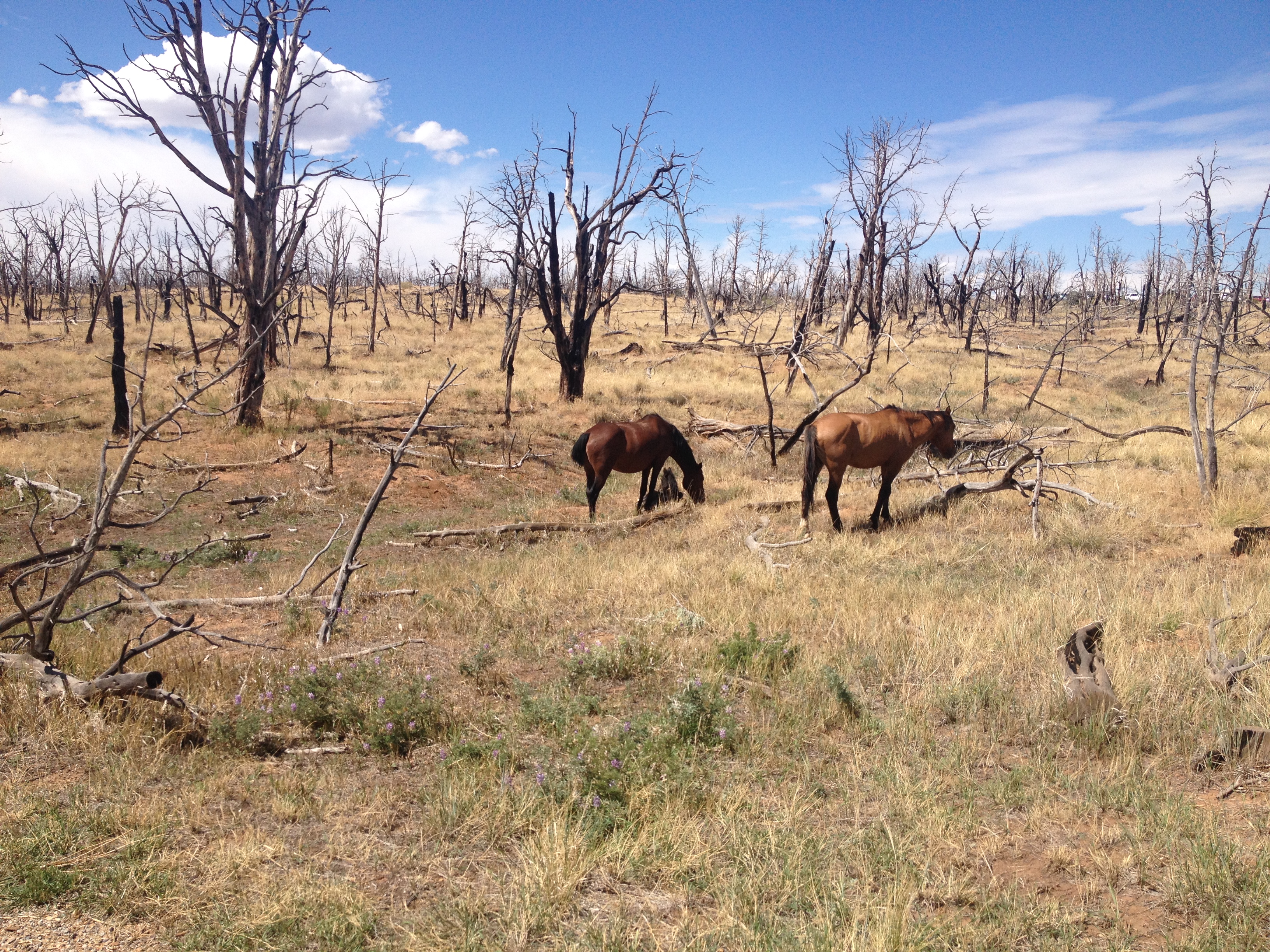
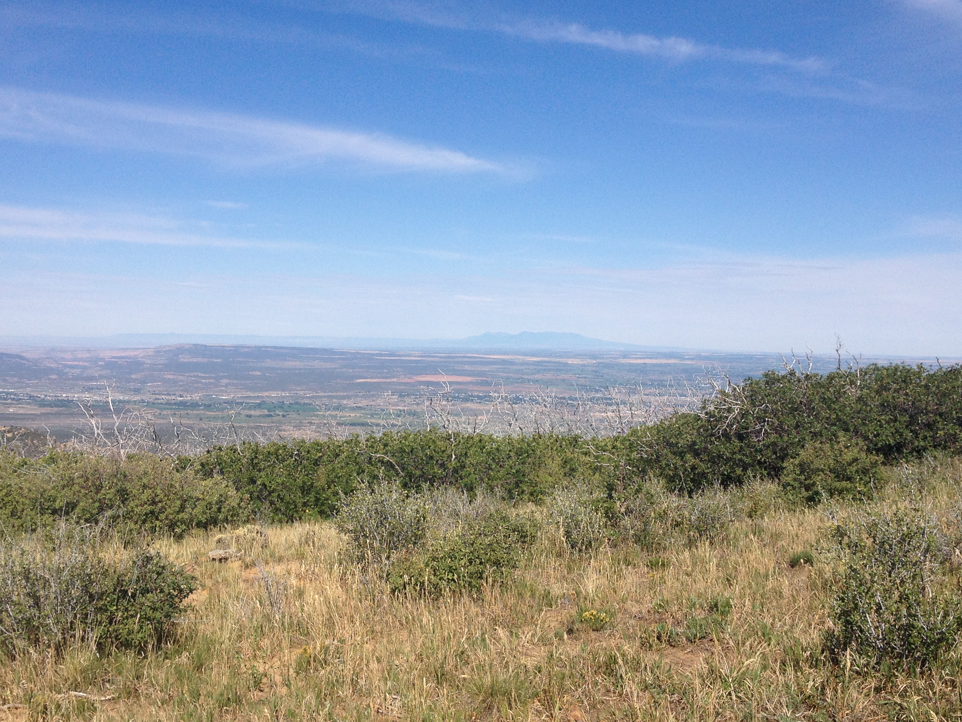
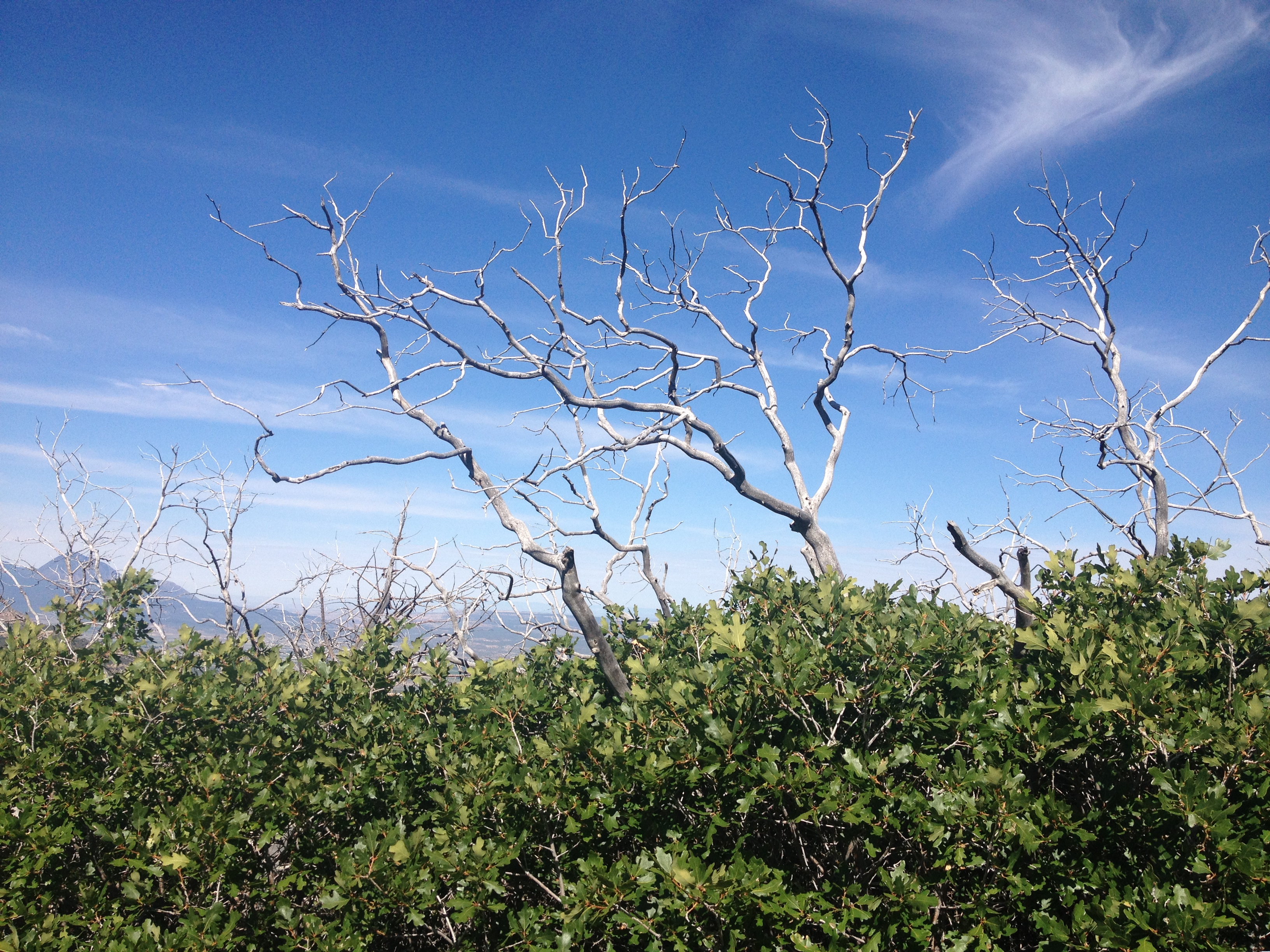
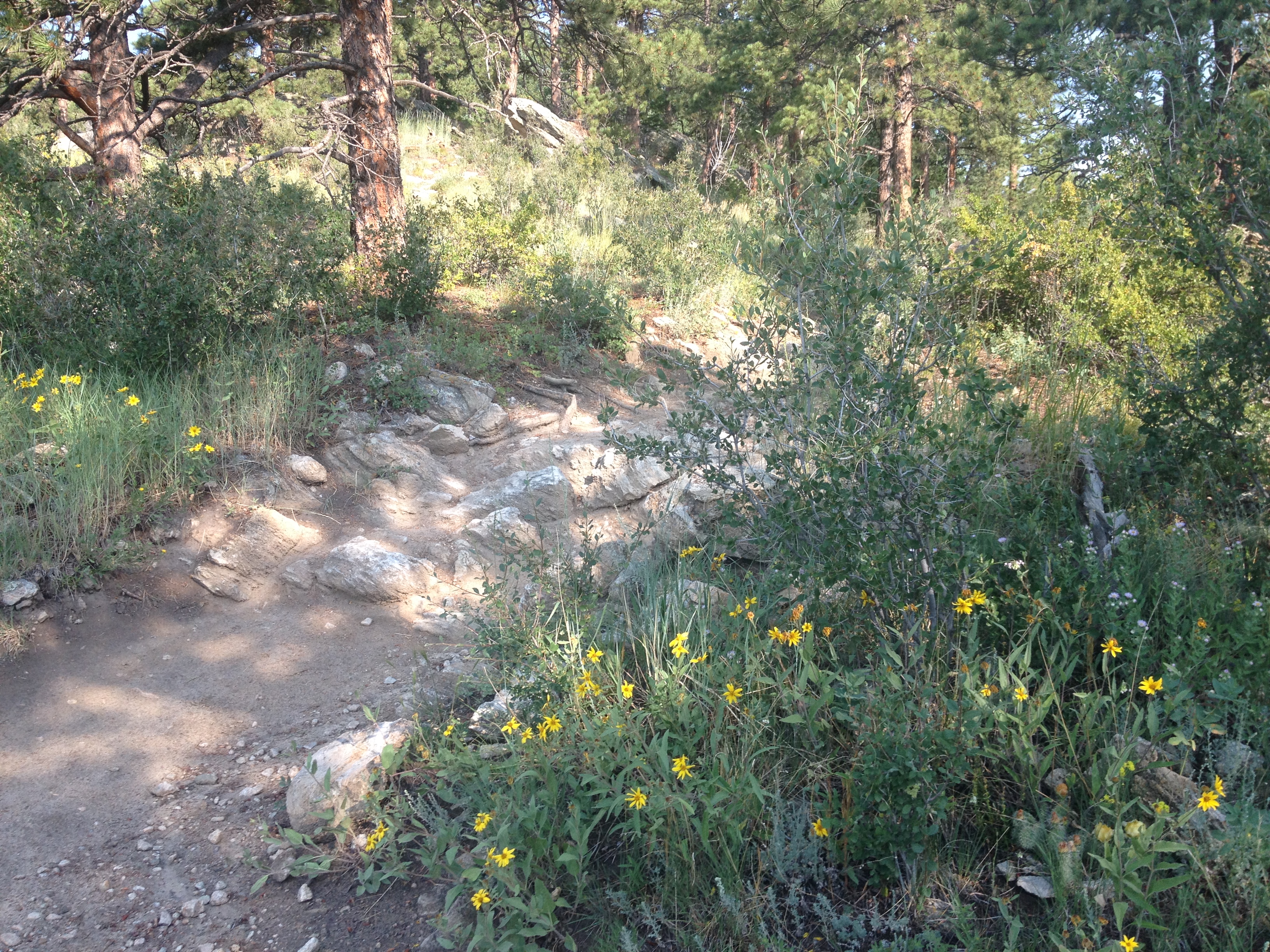
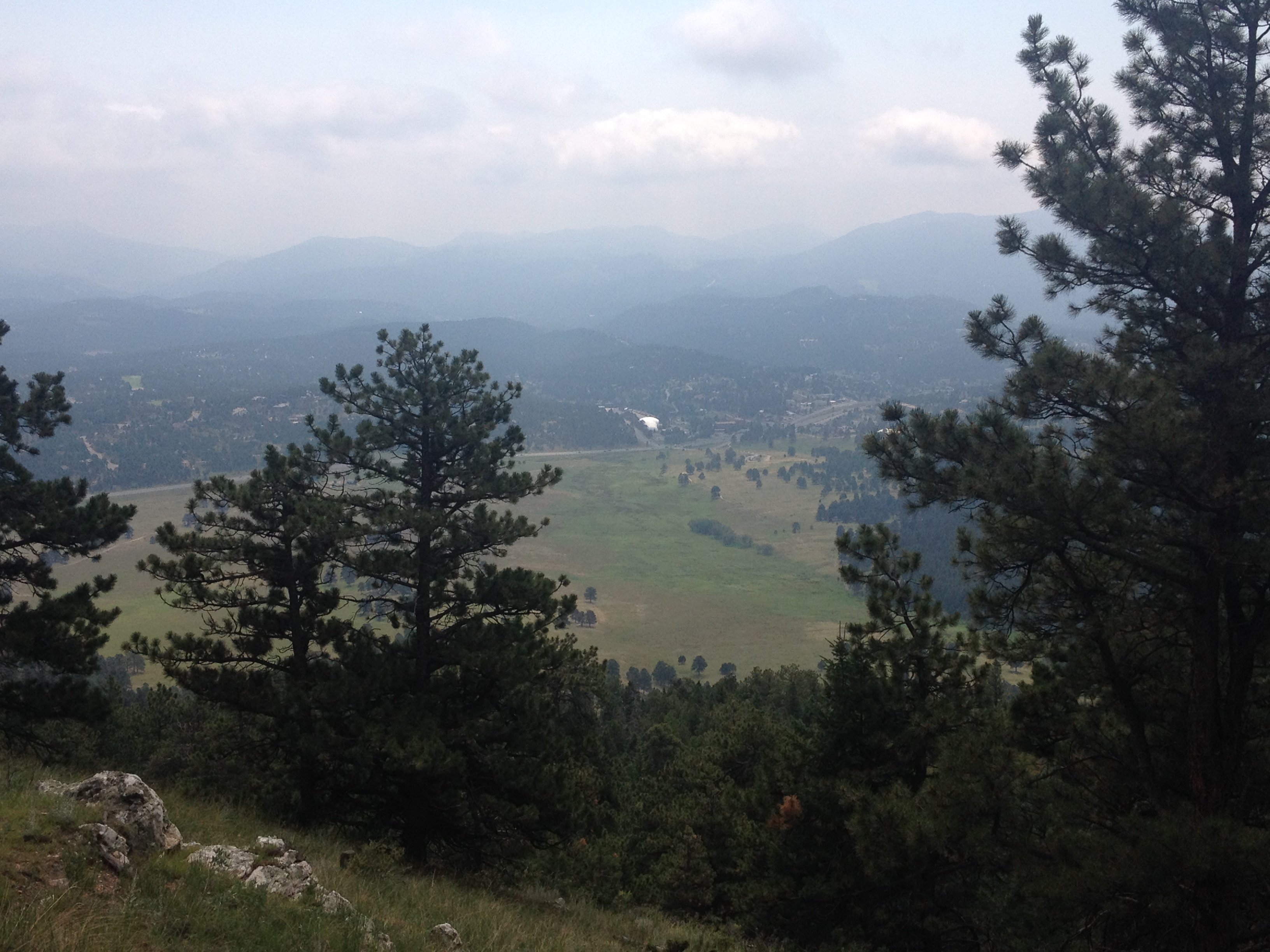
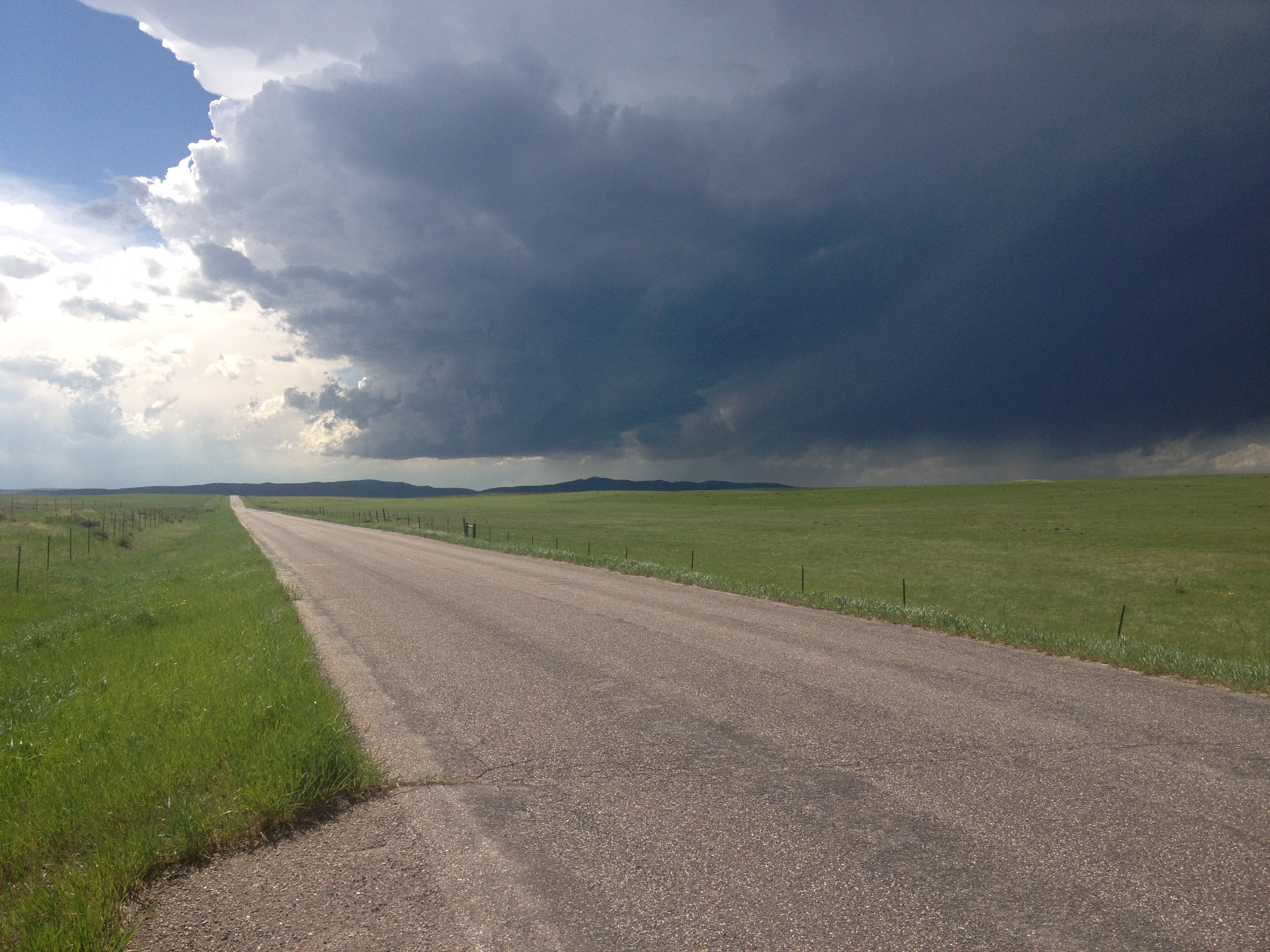
However, in the absence of state borders, this particular spot would really actually be quite insignificant.  There is no natural demarcation point, or significant change in scenery.  Even on the Colorado side, the wide open landscape, periodic mesas, and sagebrush screams Arizona much more than Colorado.  This Arizona-like feel persists for over thirty miles into Colorado until the San Juan Mountains start to show up on the horizon somewhere east of Cortez.

IMG_2457

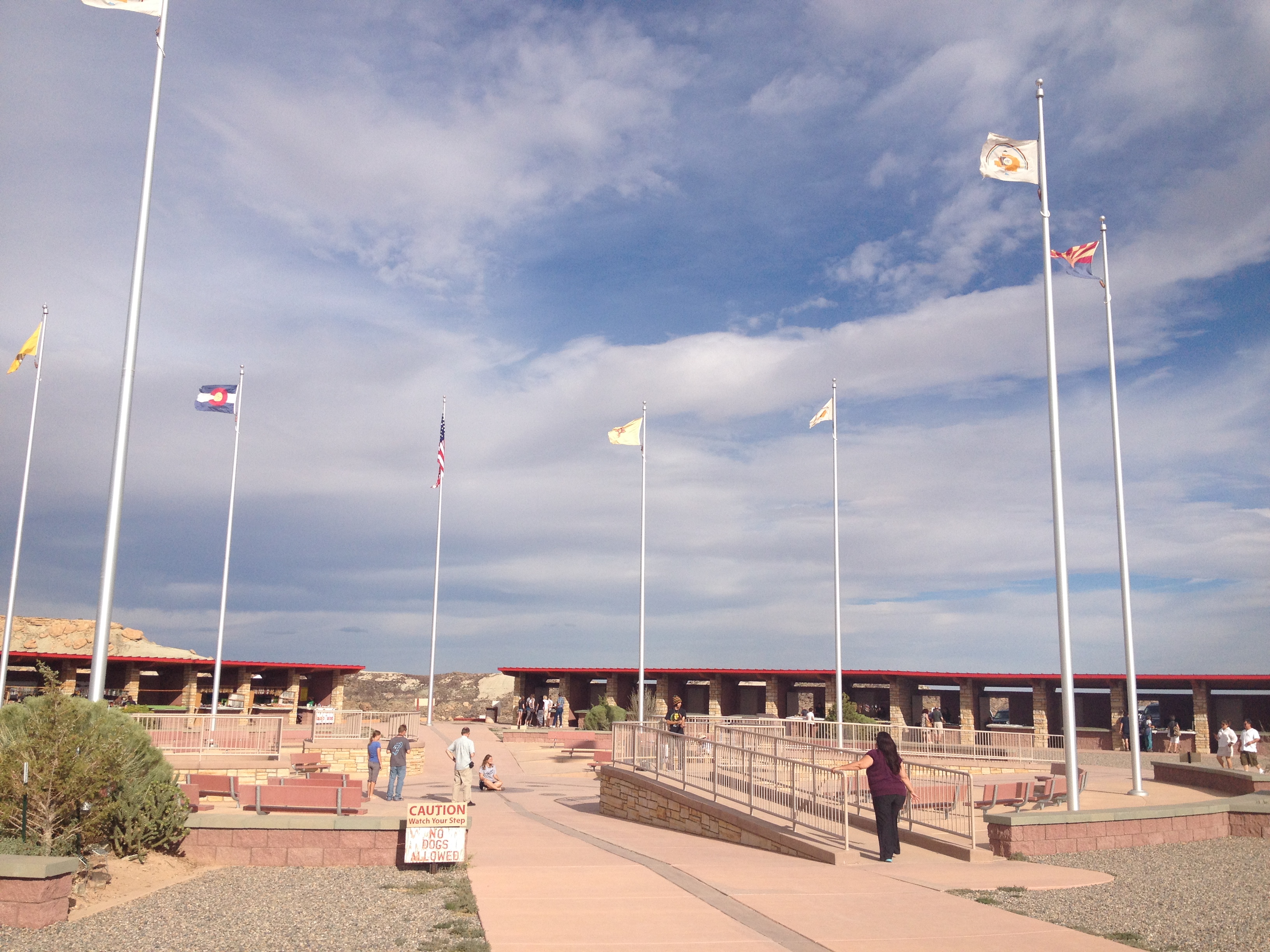
The significance of this place is further muddled by the fact that this point is not the border of four different jurisdictions.  The monument is actually on an Indian Reservation.  Thus, you do not even get the standard differences in policies and sales tax that usually accompany state borders.  An equal number of souvenir stands exists on all four sides of the monument.  I am not sure whether or not marijuana is legal on this particular reservation, but the policy is the same on all sides.  I did not observe all of the pot heads clustered in the Colorado quadrant of this monument.

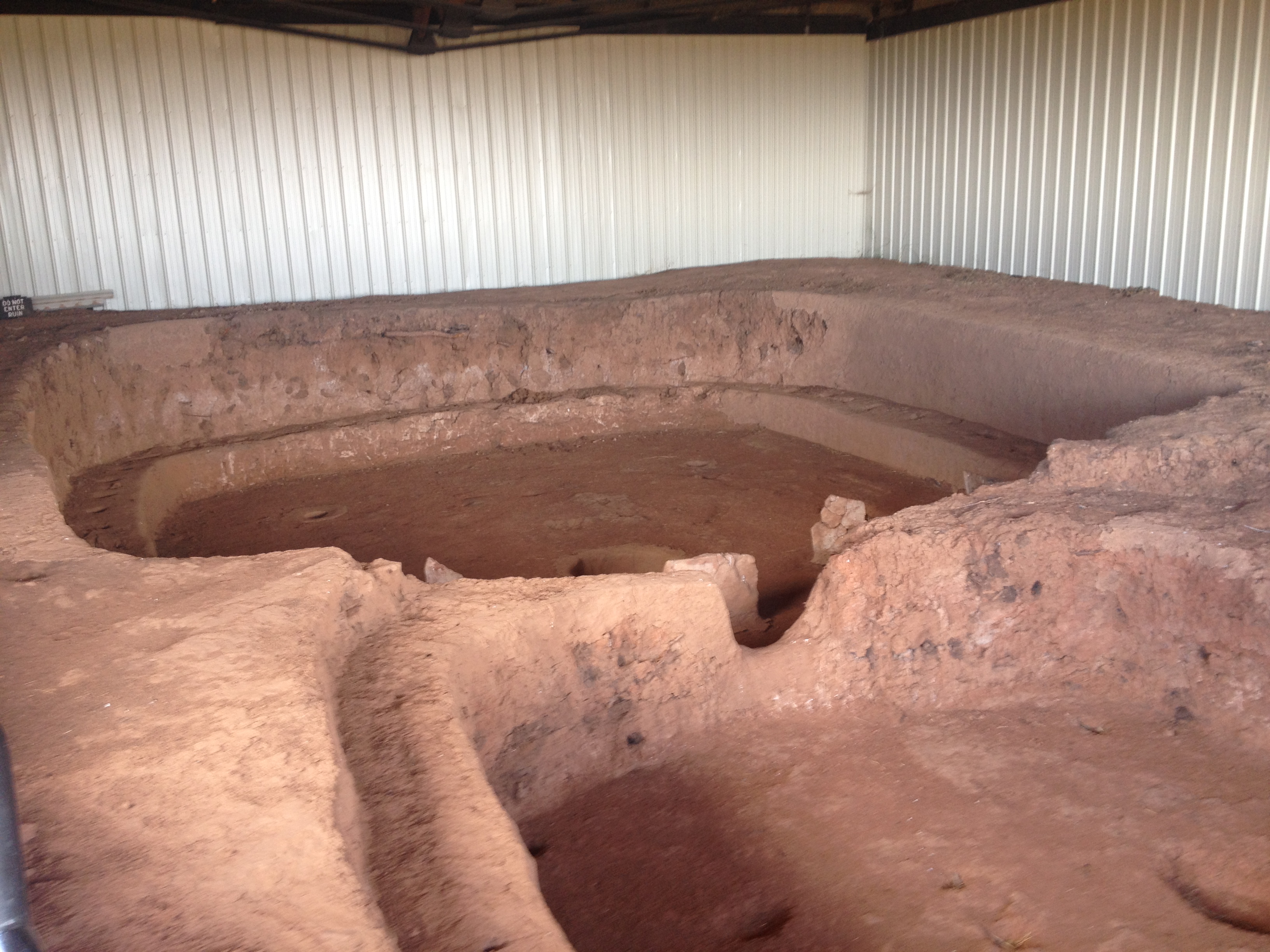
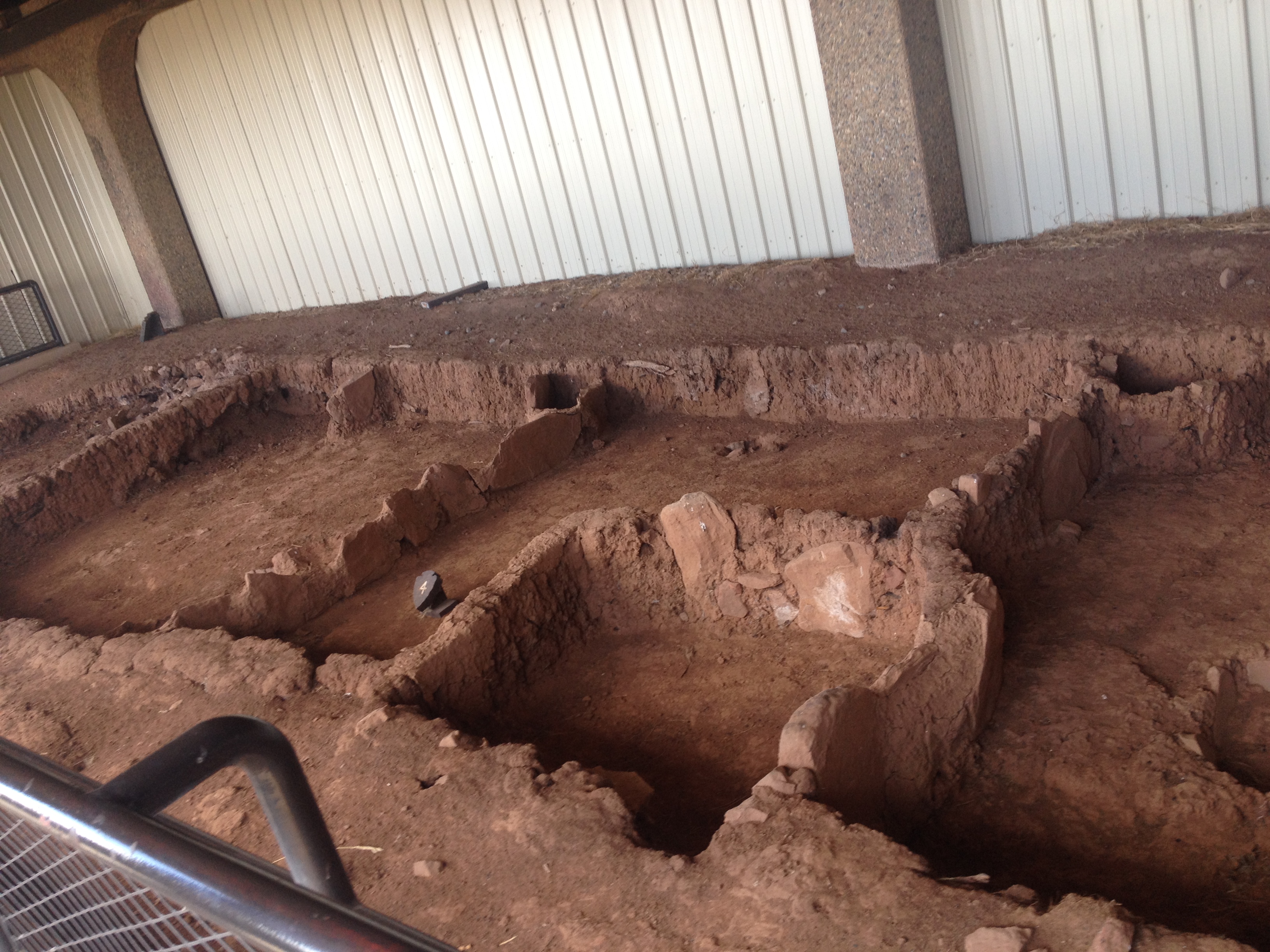
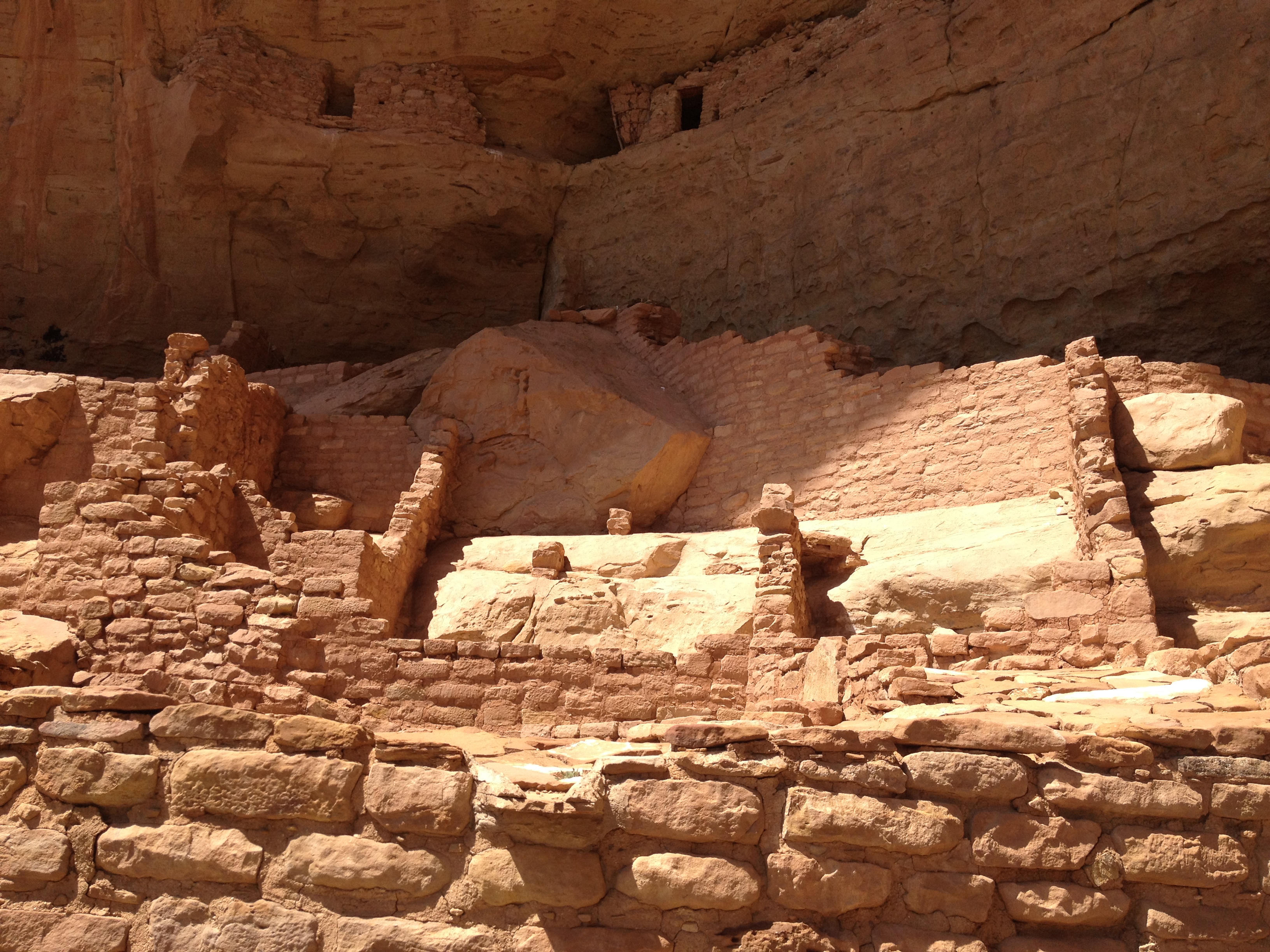
In the absence of state borders (and people obsessed with exact points of latitude and longitude), the most significant site in this region is a rock formation a dozen or so miles away called Shiprock, which has cultural and religious significance to the Navajo people who have inhabited the region since well before the Spanish arrived.

IMG_2467

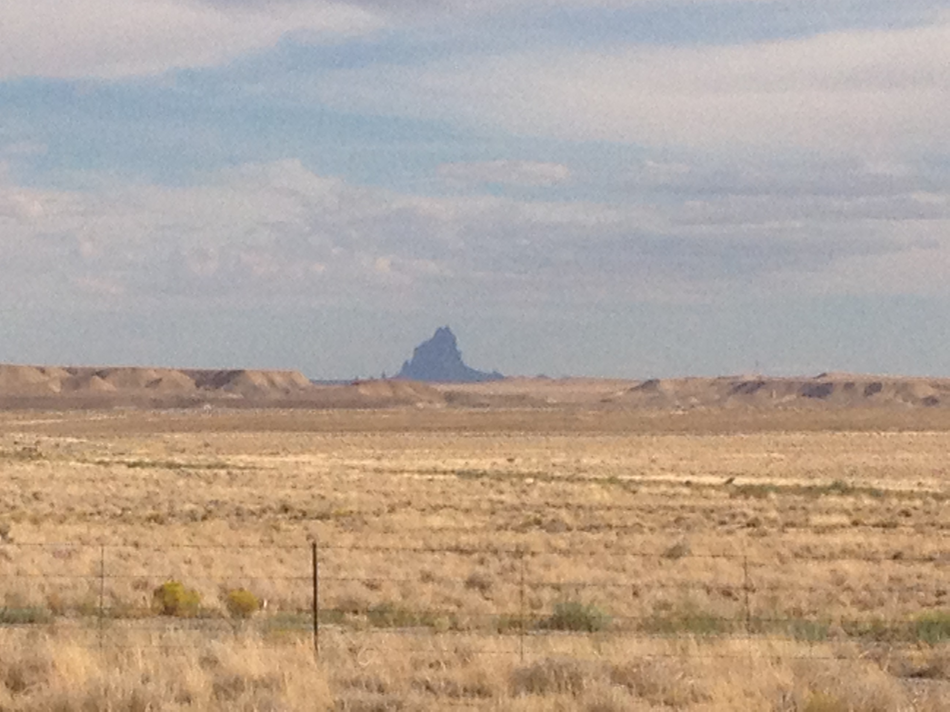
From a completely neutral standpoint, the rock formation definitely seems to stand out way more than any other feature in the area, which is mainly small mesas and creeks.  But that does not mean the wide open space where the monument should lack significance to all people.

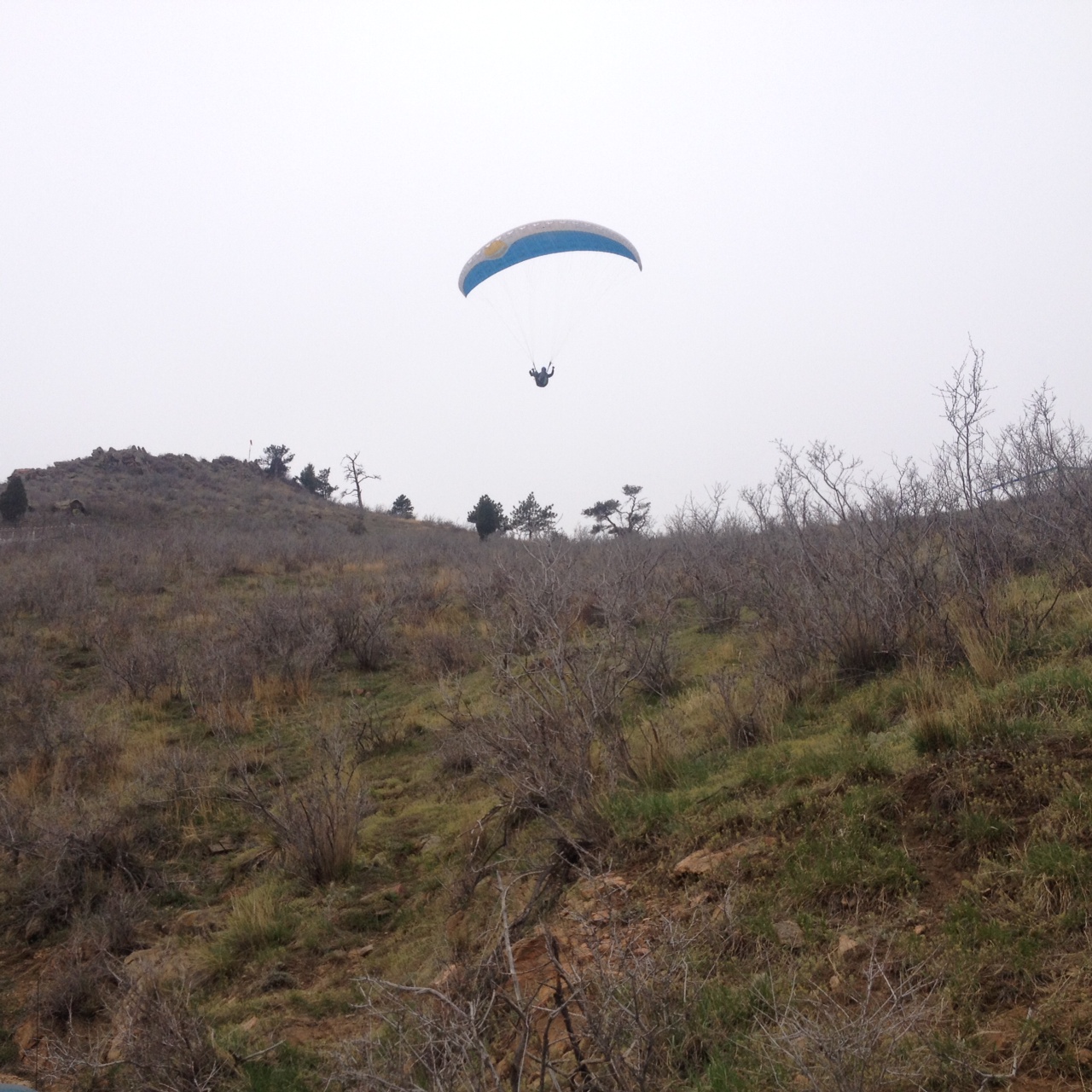
For most likely a variety of neurological, sociological, and historical reasons, Western Culture associates wide open spaces like this one with freedom.  It’s the wild.  It’s the untamed.  It’s the place where you can yell as loud as you want, shoot any kind of weapon you want, and start a fight without anyone to break it up.  There is nobody to tell you where you can (and can’t) hike, climb, tie a rope to an arch or mesa to swing from it, or even try to catapult small rodents.  It’s the last refuge of people seeking to escape every single one of society’s restrictions and limitations.

But the one set of regulations that one can really never escape is the ones that exist only inside their own heads.  I often refer to these as the “invisible chain”.  And by this, I am referring to all of the anxiety, fear, and self-consciousness that often stop us from doing what we feel we should be doing.  It stops us from telling people what we really think.  It stops us from talking to that interesting and attractive stranger on the train.  It stops us from dancing when fun music comes on.  In some ways, it stops us from living.  And, millions of Americans are in the process of destroying their livers trying to reclaim it.  In these pictures of the free, wild, and untamed west, there are typically very few people, or buildings to indicate the presence of people.  There is nobody to judge you, and nobody to make you feel self-conscious about what you chose to wear, say, and do.  The fact that this is where we go to seek freedom indicates where we, as a people, believe most of our restrictions come from.

Therefore, if one could overcome this “invisible chain”, the restrictions placed upon us would be limited only to those officially legislated by some kind of governing body and effectively enforced by law enforcement personnel.  The few lucky individuals that manage this are able to find this greater level of freedom in places like London, Hong Kong, or New York City; places that provide the interaction with other human being that we all crave.

We often see the desire for community and human interaction as pulling us in one direction, while the desire for freedom and individuality pulling us in the opposite direction.  As an extrovert, I often struggle with the fear that asserting my individuality and refusing to conform, will cost me in the social realm.  Reflecting upon all of this in the wide open spaces of the desert southwest, I re-realized that being an individual and reducing that fear actually helps in the social realm.  Negative responses from those that fear non-conformity are more than outweighed by positive responses by those that appreciate authenticity and variety in nearly all circumstances.  The key is to understand that we all have freedom of choice, and not to allow any of the hate to translate into hatred towards others.  This applies even the people that have ridiculed me and caused me hurt.  They have the freedom say what they want.  The only way to truly overcome that ridicule is not to ridicule them back, or “defeat” them in an argument.  It is to not be affected by that ridicule and continue to be the way you are despite anything they say.

This is one of several lessons, I re-learned on this trip.  These re-realizations make this place significant to me, even if the official reason for the significance of any of these places is questionable.  Everyone has a different experience here, and it is completely understandable for someone to come to Four Corners, find out it is on a reservation, buy nothing at the souvenir stands, and leave seeing the place as pointless.  For me, however, this is where I got my mind off some of life’s frustrations, and got back on the path to becoming a better person.

Mesa Verde: A Window to the Past

IMG_2396

For some reason, the history classes I took in Jr. High School and High School left me with the impression that the North American continent prior to the arrival of Europeans was one populated by nomadic hunter-gatherer tribes that never really established a civilization.  The popular characterization of Native America is a series of quasi-nomadic tribes following herds of Bison and other big game animals around vast open areas.  Thus, it is hard not to think of our continent as lacking the ruins of ancient civilizations that are quite prevalent in places like Egypt and Rome.

However, there are places in North America where one can view the ruins of ancient civilizations that existed long before the Spanish established the first European settlement at Saint Augustine, Florida.  The most high-profile pre-European (pre-Hispanic) civilization in the area is that of the Mayans, who archeologists discovered to have been quite advanced in writing, math, and the sciences, at a time when Europe was wallowing in the “dark ages”.   Those ruins can be found in Belize, Guatemala, Honduras, and Mexico.

Closer to home (for me), there are a handful of places, mostly in the Southwestern United States, where ruins of ancient civilizations can be viewed.  Preserving this history was significant enough for the United States to establish (in 1906) Mesa Verde National Park, as the only archeology themed National Park in the system.

IMG_2452 IMG_2451

Mesa Verde National Park is located in Southwestern Colorado, in a part of the state where mountains are less numerous than they are in the popular tourist destinations in central Colorado.  The drive from Denver is roughly seven hours, making it a somewhat difficult destination for many to reach.  In fact, the nearest interstate highway is over 100 miles away, and so are all airports that normal people can afford to fly into (I am assuming flying into Telluride is pricey even in summer).  As a result, even on a popular weekend like Labor Day Weekend, the place is significantly less crowded than many other National Parks.

IMG_2433 IMG_2434

The history of “civilization” in this park begins sometime in the 6th Century with the construction of “pit houses”.  Archeologists believe that this was the first time any kind of permanent residence was established here.  The tribes that would eventually inhabit this area were believed to have been semi-nomadic prior to the 6th century A.D.  Over time, these civilizations gradually got more complicated, and houses (referred to as Kivas) were grouped together into little villages.

IMG_2443 IMG_2415

Although the period of Ancestral Puebloan civilization at this site lasted over 600 years, it is the very end period, mainly from the middle 1100s through the middle 1200s that receive the most attention at this park.  This, of course, is the period in which most of the Cliff Dwellings were inhabited.  The Cliff Dwelling we visited is referred to as Long House.  For $4 per person (in addition to the entrance fee), the Long House tour provides the most in-depth explanation of the civilization that existed in the region.  This 90-minute tour is only available from Memorial Day to Labor Day.  The road to access Long House (on the far west end of the park) is also only open Memorial Day to Labor Day.  Visitors who come to the park later in the fall, or earlier in the spring, can visit other Cliff Dwellings, and take other tours.

IMG_2409 IMG_2410

The inhabitants of this region were a very resourceful people.  In addition to the corn, beans, and squash that they grew in the region, they took advantage of most other plants in the area, including Cactus, and the fruit-bearing Yucca plant.  They even resorted to ever awful-tasting plants like Juniper berries in meager years.

IMG_2413 IMG_2432

They even invented the first diaper from Juniper bark.

IMG_2424 IMG_2425

Of course, in a dry climate like this one, one of the scarcest resources is water.  For this, the Ancestral Puebloans devised a system to capture what little water precipitates through a system of little streams and holes designed to capture water when it comes.  Even with this resourcefulness, water was still always in short supply, and a long-term drought is often cited as a potential reason as to why these villages were abandoned sometime in the 13th century.

IMG_2426 IMG_2427Their homes, or “Kivas”, were significantly smaller than our homes today, even in large cities like New York.  The standard “Kivas” appear smaller than most people’s garages today.  Even the “Grand Kivas” would pale in comparison to the size of most present-day one bedroom apartments.
This is most likely because this civilization did not view the concept of the “home” in a way we are accustomed to.  A recent commercial (for some kind of real estate agency) describes home as “a place for your life to happen”.  The commercial reflects the prominent views of mainstream America today.  The Ancestral Puebloans who inhabited Mesa Verde from the 6th through the 13th centuries, used these “kivas” as places to sleep, gather, and sometimes have ceremonies.  However, it was not where their “life happened”.  The remainder of their lives was still primarily outside.

IMG_2420 IMG_2417Archeological analysis has also revealed that these homes were actually built in a rather hurried manner, with little attention to details.  It was hinted that there was always this view that any residence would be considered temporary.  According to the exhibits at the Visitor Center, while many scientists and archeologists concur that the reason this site was abandoned in the 13th century was scarcity of resources (water and animals), the descendents of the inhabitants of this region indicate that it was simply time for their people to move on, to another chapter of their story, in a different place.   Coming from this point of view, the concept of homeowner’s insurance, something practically considered a necessity in our present culture, would have been rejected as an absurd idea in 12th century Mesa Verde.  Fire?  Move on.  Earthquake?  Just put up a new building.  Not the big deal that it has become for us today.
IMG_2448 IMG_2406 IMG_2439 IMG_2403 Mesa Verde’s more recent history appears to be driven by wildfires, always a concern in regions like this.  While traveling about the park, the landscape of any given area can vary significantly depending on how recently it has been burned by fire.  A major fire in the year 2000 engulfed nearly half of the park, causing significant portions of the park to appear as this picture above, with a creepy combination of larger, older, dead trees, and the newer vegetation that has developed over the past decade and a half.For those on a tighter budget, I would certainly recommend staying in the town of Mancos.  It is the nearest town to the entry of the park (only 6 miles away).  It is a town of only 1300 residents, and does not boast too many amenities.  However, it offers, by far, the best deals on hotel rooms in the area.  Our hotel room was the Country West Motel, and I would recommend it to anyone.  A classic looking, modest roadside motel, it had it’s own courtyard, sizable enough rooms, and even a poster that I really enjoyed having in my room.
IMG_2389 IMG_2391 IMG_2387 IMG_2474

The Future of the West

IMG_2302
Earlier this summer, the new and improved Union Station opened in downtown Denver.  The station was rebuilt in an effort to accommodate several new train lines that are currently being built in the Denver metro area.  By the time this process, known as FasTracks, is complete, the metropolitan area will finally have an extensive rail system connecting many of the major employment, residential, and cultural institutions in the region.

As not only Denver, but the entire region, grows in population, this facility will serve a significant purpose.  Nearly every major city has one or more central transit hubs.  These transit hubs, such as New York’s Penn Station, often serve as a connecting point between multiple transit systems, making transit in and around the region easier.  Although only one of the new FasTracks lines has officially opened, Union Station is already prepared to serve this purpose.

IMG_2292

The most significant aspect of the construction of this facility, was, of course, the building of new train tracks and platforms.  With multiple tracks, and multiple platforms, Denver’s central train station is, for the first time, looking like the types of train stations I am accustomed to seeing in major cities with advanced transit systems.  In fact, seeing the pedestrian bridge with stairways to each platform actually reminded me of the train station in Jamaica, Queens, where several lines of the Long Island Railroad join, I would frequently transfer trains as a kid.

The new train lines in the RTD system, including the all important line to the airport, which will begin operations within the next 24 months, will all board on these tracks.  However, for now, the only train operating on this set is the AMTRAK (the other trains operate on the light rail tracks on another platform a block away).

IMG_2294

Unfortunately AMTRAK operates only one line through Denver, the California Zephyr, which runs from Chicago to Emeryville (near San Francisco).

I seriously doubt that I will ever ride this train.  There is only one train option in each direction per day.  Each morning, a Westbound train is scheduled to arrive at Denver’s Union Station at 7:15 A.M., and depart at 8:05.  Each evening, an Eastbound train is scheduled to arrive at 6:36 P.M. and depart at 7:10 P.M.

In addition to the lack of additional options, according to the schedule, the trip to Glenwood Springs (on the Western Slope, and a major tourist destination) takes just under 6 hours.  The return trip is scheduled to take over 6 hours!  According to Google Maps, the drive from Denver to Glenwood Springs takes 2.5 hours (without traffic).  Even for those without a vehicle, both Greyhound and Colorado Mountain Express offer bus service to Glenwood Springs in under 4 hours.

IMG_2296 IMG_2299

And, of course, AMTRAK’s other issue is its lack of punctuality.  As the day progressed, the station filled with people, not only checking out the new station, but with people arriving to take the Eastbound train scheduled to depart at 7:10.  By quarter after 6, the information board had indicated that the train would arrive at 7:23.  Good thing the schedule builds in that half an hour layover, right?  Well, for AMTRAK, that was not nearly enough.  By 7:30, the train had not arrived yet, with the board now indicating an 8:07 arrival.  That train would eventually arrive at 8:30.

IMG_2290 IMG_2291

The backbone of Denver’s transit system remains its buses.  In fact, the Rapid Transit District operates three types of buses; local, express, and regional.  The local buses are primarily for transit in and around the immediate area.  Most of these buses stay at street level.  But the express and regional buses, which connect downtown Denver to places father away, such as Boulder, Evergreen, and Longmont, arrive and depart from an underground bus terminal right below the train tracks that were just built.  In addition to these regional buses, longer distance buses, operated by Greyhound, are now arriving and departing at this bus terminal as well.


IMG_2295

And, of course, if there is time between buses or trains, the new Union Station has a terminal with bars, restaurants, a large waiting area, and even an airport-style newsstand shop.

This new centralized transit hub gives Denver something that nearly all significant cities have; a focal point for its transit system.  Currently, the focus is on connectivity within the metropolitan area.  Service to areas outside of this particular urban corridor is limited, and sometimes unreliable.  However, with the tracks in place, and the additional amenities built, it is not hard to imagine a future state where some kind of efficient transit service between Denver and other parts of the West has been established, and functions out of this very location.

Futurists and urbanists often talk about the emergence of “megaregions“.  This is already clearly occurring in the Northeast, with the corridor of cities from Boston to Washington D.C. becoming highly connected and well traveled.  The de-facto capital of this region is New York City.  Other megaregions expected to emerge include one in the Southeast centered around Atlanta (and expected to include Charlotte), and one in the Midwest centered around Chicago (and certain to include Milwaukee and Madison).

With Colorado’s rapid growth, it is not hard to imagine a megaregion centered around Denver, with frequent travel to Boulder, Colorado Springs, Fort Collins, and possibly even places in the mountains (a train to Vail would be great).  With the building of the new Union Station, with more track, more platforms, a sizable waiting area, restaurants, bars, and many other transit-oriented services, Denver is preparing itself for its role as the de-facto capital of the “New West”.


Bergen Peak; Beating the Weather

IMG_2266

If anyone were seeking my advice about living in Colorado, amongst the topics I would address would be the weather.  One thing that differentiates Colorado’s day-to-day life from life in many other places is how significant of an impact weather can have on daily activities, and how imperative it is that Colorado residents pay attention to weather and weather changes.  Colorado, being an outdoor oriented place with significant weather changes on many different time scales, is a place where residents find their plans impacted by weather significantly more often than in most other places.

Today was one of those days.  Weather forecasts called for significant thunderstorm chances along the Front Range of the Rocky Mountains starting at 2:00.  This is not too terribly uncommon for this time of year.  As a result, it is a fairly common practice to begin all hikes in the mountains at this time of year early in the morning.  This lead me to wake up at 6 AM in order to complete the 9.6 mile round trip hike of Bergen Peak prior to the anticipated onset of thunderstorms.  The frequency in which people begin their activities early has implications beyond those activities.  It is fairly certain that a significant number of people forgo Friday and Saturday night activities in anticipation of early morning hikes.  Some even head up to the mountains the evening prior to their anticipated activity in order to save time.  The end result; less people out at bars and more people at cabins and campgrounds on any given Friday or Saturday night at this time of year.

IMG_2254 IMG_2255

Getting to this trail-head is actually quite easy from Denver.  Overall, the drive takes less than an hour, and it does not require any off-road type driving.  While the best route is along Interstate 70, the exit is far enough East that one could drive here from Denver without contending with the parts of the highway farther into the mountains where weekend traffic delays are common.  This hike is both moderate in intensity (elevation gains and such), and quite well marked.  This is possibly because the trail is often open to, and is quite popular with, mountain bikers.

IMG_2260 IMG_2263

The first mile from the parking lot, along the Meadow View trail was fairly flat.  This trail connected us with a loop that consisted of the Bergen Peak Trail and the Too Long Trail.  We decided to take the loop in a clockwise direction, starting with the Bergen Peak Trail.

IMG_2256 IMG_2262

This trail took us up some steeper areas, as well as some areas of densely packed trees.  The occasional opening along the trail was marked with a sign indicating a “scenic view”.  These scenic views were pretty nice, but on this particular day, our visibility was limited by a significant amount of haze.  Once again, life was being impacted by weather, but this time a longer-term trend.  This summer has been more humid than is typical for Colorado standards, leading to significantly more haze than normal.

IMG_2267 IMG_2268

A one mile spur off of the main “loop” brought us to the top of Bergen Peak a little bit after 10 AM.  By this time, the skies had gotten even more hazy.  At the top of the mountain, there is some kind of tower (most likely for phones), as well as this sort of random building.  I really do not know what it is for, and I was unable to enter the building.  I really hope it is not home to some crazy recluse making secret revenge plans.  Nothing good would come of that.

IMG_2275 IMG_2280

Continuing the loop, we took the Too Long Trail, which felt as if it was living up to its name.  The trail itself is listed as only 2.4 miles, less than the 2.7 miles indicated for the Bergen Peak Trail.  However, it felt a bit longer, as the trail was more of a semi-circle, and connected to another trail, called the Elk Meadow Trail.  Along this trail, we were, indeed, closer to the meadow.  However, we did not see any Elk today.

IMG_2261 IMG_2272 IMG_2274 IMG_2276

What we did see, though, were a significant number of different species of flowers, and some mica.  In one spot (pictured above), purple flowers were actually growing off of a dead tree branch.  Quite amazing!

IMG_2279

I’m glad we took the Too Long Trail, even if it lengthened our hike to something close to 10 miles.  Not only did we actually experience why it is called Elk Meadow Park, but we also encountered the most unique find on this hike.  Apparently, someone felt it would be interesting to decorate one single tree, roughly halfway up the Too Long Trail, with Christmas decorations.  It was just one tree, seemingly randomly selected, with roughly a dozen ornaments placed on it.  For one with an imaginative mind, there are dozens of different scenarios that can be pondered that would lead to this outcome.  But, even more so, I wonder what the people who operate the park think of all of this.  And, I wonder how well it would be received if I were to return to this tree, and add a contribution of my own.  If others have the same thoughts, what could this tree look like a year from now?

While hiking this trail today, I did not believe I was going to get any good photos at all (due to the haze, and the tree density of most of the hike).  However, the more I look a the photo I chose to lead this entry with, the more I fall in love with it!  It is not the kind of perfect photo that you will find on commercials or billboards (see this image).  It is a photo of the same place, but from a different perspective; one of a world that is not quite so perfect but beautiful in its own way.  It is an image of a world where people wake at 6 AM to get in a hike before a round of thunderstorms that never materialized.  It is a world where we know enough about what is in front of us to stay out of danger, but with enough haze to keep the excitement associated with the mystery of the unknown.  That is the world in which we live in, and the frustration occasionally waking up early unnecessarily is a small price to pay for the wonder and the mystery that accompanies it.

A Whole Different Kind of Camping

For me, at least, this is a whole different kind of camping than what I am used to.  I am not a very experienced camper.  In the entire course of my life I think I have camped maybe a couple of dozen nights.  All of these nights took place at a campground, typically reserving a site ahead of time.  Last night, I took part in a style of camping that is fairly common in the State of Colorado, but seemed quite strange to me when I first heard of it.

There are no specified campsites or reservations.  There is no park office to check you in, collect a fee, and sell you firewood.  There are no restrooms or showers, and there are certainly no vending machines.  This type of camping simply involves finding a spot in the forest to lay down tents.  It is so basic, and so obvious.  Just go and camp.  Yet, in the context of the modern world that we live in, it sounds so strange.

IMG_2166

In fact, I did not even know how to prepare for this trip.  When we all went to the store to get supplies, I was the only idiot grabbing burgers, buns and cheese, as if I was preparing for a barbecue, until I was instructed otherwise by those who have actually camped in such places before.  There are no grills here.  You can only prepare food supported by the equipment that you bring.

We camped high up in the Rocky Mountains, around 60 miles west of Denver, just south of a place called Guanella Pass.  This wilderness region is particularly significant, as trailheads leading to the top of two major mountains, Mount Bierstadt and Mount Evans, can be found throughout the area.  So, although there is no specific campsite, it is still a common place to camp, as many heading up one or both of these mountains set up camp in the area.

IMG_2169 IMG_2171

We set up camp in the area along Geneva Creek, where a significant number of campfire setups like this one are left behind by previous campers.  So, while I can count this among the most remote places I have spent an evening, I realized that there are places that are even more rustic, more primitive, and farther “away from it all” than here.

IMG_2173 IMG_2172

We did not intend to climb a major mountain, nor did we have the time to do so.  This trip was actually planned last minute by people more knowledgeable than me about such things.  We ended up hiking a more moderate, and shorter trail called the Burning Bear Trail, which follows a creek by the same name.

IMG_2177 IMG_2178

The trail starts off pretty flat, and looking more like a dirt trail than a typical hiking trail.

IMG_2179 IMG_2182

As the trail picked up, I saw a significant amount of chopped down tree branches, many of which were chopped down in some sort of regular pattern.  In one section, the tree branches appeared to have been arranged to form some sort of tepee.  I took a gander inside, but it did not feel too useful.  Also pictured above is the columbine, which is Colorado’s State Flower.

IMG_2183 IMG_2185

While there were no major waterfalls, there were a lot of small waterfalls along the trail, and plenty of places where my dog could cool off in the creek.

IMG_2187 IMG_2189

After hiking roughly 2.5 miles, and climbing probably about 900 feet, we reached some kind of old cabin, which made for a good stopping point, where we could turn around and get back to the campground with plenty of time to prepare fire and dinner and such.

IMG_2190

Returning to the trailhead around 6:15 P.M., we encountered what I thought was the most amazing view of the entire wilderness area of the day.  By that hour, the sun had reached a lower angle, accentuating the mountain’s higher peaks.

IMG_2193

In some ways camping that evening was similar to a typical camping experience.  We cooked some food, set up a campfire, told some ridiculous stories, and went to bed around 11.  There was marshmallow roasting, and people throwing all kinds of random items into the fire to see how they would interact with the heat and flames.  Mosquitoes came out in gradually greater and greater numbers as the evening progressed, and went away around sundown.

However, in some other ways it was different.  As previously mentioned, we were not grilling.  Instead, we were cooking food on small stoves.  Although we did use some previously purchased bundles of firewood, we also used a significant amount of firewood that we gathered from random tree branches.  In fact, we even tried to lite branches that were retrieved from the creek.  They turned out to be a bit too wet.

IMG_2196

There were a couple of other firsts for me on this journey.  Aside from being my first time camping at a place other than a designated campsite, it was my first time camping with a dog.  This presented some other challenges, but, my dog definitely seemed to enjoy it.  Also, at an elevation close to 10,000 feet, it was by far the highest elevation I had ever camped at.

In the end, one of my favorite parts of the evening was when I arrived back at the campsite at roughly 6:30, went back to the tent, and threw all of my stuff down, including my wallet, phone, and keys.  I had previously not thought about this, but these three things represent the basic necessities of our connected 21st century world.  Most days when I wake up, I reflexively pack those three things into my pants pockets.  Even when I am going for a bike ride, I have them in my camelback.  In a way, setting these three items aside is symbolic of having truly escaped to somewhere different.  It is truly having left everything behind and actually haven taken a break from whatever your day-to-day life typically entails, including it’s stress, anxiety, and uncertainty.  Once those three items are put away, the here and now is all that needs to be considered, and there is something inherently amazing about that, which I had previously failed to appreciate.


Happy Independence Day

IMG_2161

In honor of the holiday today, I decided to write a somewhat different kind of blog than what I usually write.  Typically, as is the case with most travel writing, I visit a specific destination (or multiple destinations), and write about the experience.  Following the lead of some of my favorite travel writing, I also tend to include my thoughts on the place I visited, the experience I had, or the significance of something related to it.

But last night, I traveled all of 12 blocks to Denver’s Civic Center Park to watch the firework show put on by the City of Denver.  Not exactly a major trip- I walked there!  However, just as certain places and experiences can lead to significant pondering and revelations, specific events, especially ones of historical significance like this one, can also lead to similar conclusions.

I found myself pondering what it means to be  an “American” and whether or not this is something I should be proud of.  Over the course of my life I have heard a wide variety of perspectives on this.  Many in this country sincerely believe the USA to be the greatest country in the world.  Some say this based on blind Patriotism, but some say this based on well though out reasoning.  On the other end of the spectrum, we have those that do not place that much pride in their country.  They either believe that taking pride in a specific nation is a silly concept, or are ashamed of this country based on something about it that they find foolish.

I grew up being pretty certain of America’s greatness.  But, that was at a time, the 1980s and 1990s, when it was quite easy to place a lot of faith in the USA.  The new millennium has been a bit rougher for this country.  Since the dawn of the new millennium, we’ve had a more shaky economy, more controversial events and political decisions, and some social movements that have angered people on all sides of the spectrum.  Nearly every American, from every part of the country, from every sociological, economic, political, or ethnic group, and of nearly any personality type, can point to something that the USA has done since 2000 that has made them feel utterly ashamed of our country.

What I realized while watching the fireworks last night, and pondering the anniversary of our Independence today is that while there are some things about our society and our country that are messed up, unfair, and inefficient, in the grand scheme of things, we are still pretty well off, and we are still a truly great country.  Most of us can count on a lot of the basic necessities of life, like clean water.  When we speak our minds, about any issue, we worry about being shunned, or dismissed, rather than being imprisoned or executed by those in power.  Anybody can make their best effort at being anything, and we are all free to associate with whoever we please.  And, while we have a political culture that has become polarized, and verbally vicious, violence between “warring” political factions in the U.S. has been very minimal thus far.

And, we have a variety of different adventures we can pursue right here in the U.S.  The breadth of the travel opportunities is quite possibly our greatest asset.  Within the borders of the United States, you can find everything from the frozen tundra of Alaska to tropical Hawaii.  We have the peaks of Colorado and the Rocky Mountains, as well as the perfectly flat regions of Northern Illinois and Indiana.  From the Grand Canyon in Arizona to Isle Royal National Park in Michigan, many different types of natural scenery can be found right here in the United States.  From the hustle and bustle of New York City to the quiet ranches of Wyoming, every pace of life can be found.  And, nearly every activity, from skiing to sailing can be found in great abundance here.  As a matter of fact, I cannot even keep track of the number of places I would like to visit, the list just keeps on getting longer as I hear about more and more great places.

I am not one of those rare people that has absolutely no shame regarding any aspect of my country at this point in time.  Like most of the rest of you, I have a list in my head of things I would love to change.  I undoubtedly count myself amongst the clear majority of Americans that believe this country is on the wrong track.  And, I would genuinely like to see some action taken on certain items to make this a better places to live.  However, on this Fourth of July, I would like to show some appreciation for what we do have, and how fortunate we are to have enjoy the freedom and prosperity that we do enjoy.  And, while I do not believe there are no other great places to live in this world, I am still proud of the one that I call home.

Whitewater Rafting on the Poudre

Rafting_3

One of many things that makes June a phenomenal month, is that it is typically the best month of the year for whitewater rafting in Colorado.  Snowmelt from the higher mountain peaks combine with fairly frequent thunderstorms to create higher water levels and faster rapids along many of Colorado’s rivers.  And, while sometimes river flows associated with the spring snowmelt peak a bit earlier in the season, by mid-June somewhat warmer air and water temperatures makes for a more pleasant experience.

After weeks of training for, and then subsequently riding the Denver Century Ride on the June 14th, I figured that the following weekend, June 21st, would be an ideal time for some whitewater rafting.  Colorado offers a lot of great places to raft.  I hope to try as many of them as possible.  Based on the time constraints of all the people involved in this trip, as well as the quality of trips offered, I opted for rafting in Poudre Canyon, just to the west of Fort Collins, Colorado.  Here, along the Poudre River (technically Cache la Poudre River), average June streamflows produce many sections of class 3 and class 4 rapids.  Sometimes, higher water produces even rougher waters.  And, had we opted to raft a bit earlier in the season (late May/ early June), higher water would have actually prevented us from doing part of the journey we did on Saturday due to safety concerns.

IMG_2120 IMG_2118

Friday night we camped at a place called Kelly Flats, slightly farther up the river from where our whitewater adventure would occur the following morning.  Because of how long the days are in June, we were able to work a full day on Friday, and still make it up the campground in time to set up our tents before it got dark.  YAY June!  Seriously, if I could find a way to not sleep for the entirety of June, and make up for it by sleeping extra hours in a lamer month, like December, I would do so in a heartbeat.

IMG_2122 IMG_2123

Saturday’s rafting trip was a half day trip called “The Plunge”, through an outfitter called Mountain Whitewater Descents.  This is considered one of the more intense trips.  But, hey, go big or go home.

For this trip, we met at 8 A.M. to discuss safety, expectations, and technique.  There have been stories in the news about people getting seriously injured, or even killed, on this river this year.  Going with a guided tour like this one all but eliminates this risk.

IMG_2124

Then we get our equipment, wet suits, jackets, helmets, etc., and ride in a big school bus for about half an hour to our starting point.  Arriving a bit after 9, the trip itself, as in time in the raft on the river runs for 2.5 to 3 hours.

I do not have any pictures of my group rafting.  I did not feel like taking the risk of bringing either a camera or my phone onto the raft where they would probably fall out into the river.  Pictures and videos are taken of every group by Mountain Whitewater Descents.  And, while I found the trip itself to be more than worth the $70 per person we paid, obtaining the pictures of our group’s excursion ended up costing more money than I wanted to spend.  So, I selected a couple of pictures from Mountain Whitewater Descent’s photo gallery to capture the essence of the experience.

Rafting_1 Rafting_2

The trip starts with a mile or so of easy rapids.  This is so that the group in the raft can get into a paddling rhythm, and get aquanited with the guide and her commands.  After the warm-up part, when we started into the rougher rapids (first class 3 and then class 4), I felt that our group had gotten into a really good rhythm while paddling.  The video we saw after the trip revealed to me that we were actually quite out of synch.

Still, I really enjoyed the group that I got to raft with on Saturday.  My group consisted of 10 people.  With each raft holding 8 people (including the guide), our group was split in two, with 5 members of our group being joined by two other people.  Of course, with two boats belonging to the same group, it is common for water wars, as pictured above, to break out between the boats during downtime.  The two young ladies that ended up riding with us in our raft were very good sports about not only our crazy discussions along the way, but ending up in the “crossfire” of our “water wars”.  Additionally, I felt like our guide did a wonderful job, and would definitely recommend this trip to anybody.

The oddest aspect of this excursion for me was that I was never scared.  NEVER.  NOT AT ALL.  And, our rafting guide told me that Saturday’s rapids were amongst the most intense rapids that they would legally be permitted to enter as a commercial recreation business.  I really just felt exhilarated.  I felt, well, alive.  And, this made me think of the oddest thing- billboards.

Right around the time we first figured out that we would be moving to Colorado, billboards like this one starting popping up around Chicago.  These billboards are designed to get tourists to come to Colorado, with “Come to Life” being the slogan.

Suddenly this became the only State tourism slogan that made sense to me.  I have seen a lot of state tourism slogans.

Some of them are nearly completely nonsensical.

Pure Michigan; What does that even mean?  Do I want something to be pure?  What makes Michigan Pure?

Great Faces, Great Places, South Dakota; I don’t even think Mount Rushmore is South Dakota’s best attribute.

Some of them don’t deliver what they promise.

Wisconsin, You’re Among Friends; Wisconsin has been a non-stop political fight for a decade or so.  And if you are in Madison, they are not friendly about it.

New Jersey and You, Perfect Together; If you think the odor of landfills and refineries, a strange combination of old money suburbs and random ghettos, and the desire to go to any extent possible to avoid making a left hand turn is my ideal match, then I have an expletive for you.

But, Colorado’s slogan, “Come to Life”, which originally sounded like complete nonsense to me, suddenly made sense, as the opportunities provided by Colorado simply made me feel alive.


The GoPro Mountain Games

IMG_2067

One week prior to departing for the GoPro Mountain Games, I had no idea that the GoPro Mountain Games even existed!  I would never have thought that GoPro, the company that makes those portable cameras, would decide to sponsor an event like this.  It’s not that it’s one of those things that makes no sense, like McDonalds sponsoring bike rides in Chicago.  In fact, when I looked into the event upon being invited, it made perfect sense to me.  It is those GoPro cameras that people use to film their outdoor adventures, from skiing to mountain biking, climbing, and even those crazy people that swing from arches in Utah.  Thinking about that, it makes perfect sense for GoPro to put together an outdoor celebration like this in Vail, Colorado.  It is just something I would not have thought of had I not been informed of the event.

IMG_2071 IMG_2065

In some ways, Vail is a very different place in the summer.  Accustomed to seeing the ski resort in winter, covered with snow to ski on, it looks quite different by June.  Also, with skiing being the main reason people make the trip up to Vail, some things are cheaper.  Not only was the hotel I stayed at in Vail Village a place I wouldn’t consider unaffordable during the ski season, but breakfasts like the one pictured above, normally $20 per person, are free from April to November.

IMG_2074 IMG_2064

However, in some ways, Vail is the same place, regardless of season.  The nightlife definitely felt the same as it had in the winter.  The Gondola was still running (what for, I do not know).  And, no matter what time of year you visit Vail, you generally encounter the same mix of people; wealthy but generally casual and in good shape.  It is a crowd I can never figure out whether or not I truly fit in with.  I love skiing and the outdoors, but I am not rich, and I still have many attitudes about life that are way more East Coast than West Coast.

The GoPro Mountain Games consist of many different kinds of events, including biking, climbing, kayaking, running, and even dog jumping.  I think there is even a Yoga event in there.  The easiest way for me to think of it is to imagine the (above mentioned) demographic group that attends this event, and then think of everything this group of people do.

IMG_2075

The event with the biggest draw is called “bouldering”.  It is basically the kind of climbing that you do inside at the gym, as opposed to the climbing you do outside with ropes and such.  Watching this event was interesting primarily because everybody in the crowd cheered for everybody.  Unlike in the Olympics, where we primarily only cheer for those from our own country, and team sports where we genuinely cheer for one team to beat another, in this event, everybody appears to genuinely want everybody to succeed.

IMG_2100 IMG_2097

The craziest event was definitely an event called “8 Ball”.  In this event, kayakers race down the river.  However, along the route, there are a bunch of guys in kayaks with 8-Ball wet suits on that basically play defense.  They attempt to impede the racers along their route towards the finish line.  I really wonder who came up with this one!

IMG_2081 IMG_2085

My favorite event was an event called dock dogs.  In this event, dogs, mainly retrievers and shepherds, jump off a dock into a large pool of water.  The dog whose jump is the longest is crowned the winner of this event.

I loved this event for two reasons.  First of all, I love dogs.  I own one, and in many of the hiking entries in this blog, you will see photos of my Siberian Husky.  Second, I just love how goofy it really is.  The dogs are prompted to jump off the dock when their owners throw this long cylindrical toy for them to chase.  It looked exactly like what one would encounter while hanging out at a lake home in Wisconsin.  In fact, the world record holder in this event is from Minnesota!

IMG_2061 IMG_2087

For a weekend trip to a major event a couple of hours away, this trip was a spontaneous one.  I was basically invited to come along on this trip on the Monday four days prior to departure.  To add to that, I only really knew one person of the eight others involved, the guy who invited me.  It is the kind of invitation that most people would have dozens of reasons to say no to, from previous plans to personal budgeting and even the much more onerous social anxiety.  But, those that remain open to, and say yes to invitations like these are often rewarded with some unexpected significant experiences.

I have come to the realization that one of the most effective ways to meet people and make friends is through mutual friends.  Some of the best friends I have here in Denver I have made through having one or more mutual friends.  The same is true of pretty much every other place I have ever lived.  For some strange reason it is easier to form a bond with someone who knows some of the same people.  Someone who chooses to hang out with the same kind of people is likely to be someone you have a lot in common with.  In fact, in my experience of forming friendships this way, there has even been little to no reliance on mutual acquaintances for conversation topics.  It just naturally starts itself.  Or maybe that is just the way I am.  Either way, it was great to have decided to head to this event, and it serves as a reminder of how much our lives are enriched by spontaneity!

Funnel Clouds and UFOs

Chugwater, Wyoming is not known for tornadoes, nor is it known for UFOs.  When people think of major tornadoes, they typically think of places like Oklahoma and the rest of the Great Plains.  Most consider “tornado alley” to be to the east of Wyoming.  Likewise, when people think of UFOs, the town of Roswell, New Mexico comes to mind, as it is not only the location of a major event related to UFO conspiracy theories, but also in a region dense with UFO reports.

Chugwater is a town of barely more than 200 people roughly 40 miles north of Cheyenne.  The only thing it is really known for is chili.

IMG_2019 IMG_2020

I have never actually tasted Chugwater Chili, but others have told me that it is really good.  Enough people like it to support an annual chili cook-off in the town, which has been going on for twenty-nine years!

However, yesterday, the last day of May, a trip to Chugwater helped shed some light on both phenomenon.

It was a day where thunderstorms fired up across a wide area that stretched all the way from Saskatchewan to just southwest of Colorado Springs.  After an examination of weather conditions, we determined that the best possible conditions for seeing some good thunderstorms within a reasonable drive of Denver would be in Southeast Wyoming.

IMG_2021 IMG_2022

In the early part of the afternoon, a series of storms popped up in the region, but fizzled out and died fairly quickly.  It was not until mid-afternoon when we finally encountered a major storm brewing over the Laramie Mountains to the west of Chugwater.

IMG_2025

From a hill just to the west of town, we were able to observe this storm gradually move towards us as the afternoon progressed.  The entire day felt quite strange to me.  In every single way, it felt like a typical storm chase.  The procedure of heading towards an initial target location, then heading towards a storm as it forms, and observing it along a country road was exactly as I had done probably close to 100 times throughout my lifetime.  The air felt warm and moist, and the wind picked up as the storm approached, just as I had always remembered it.  Even the ground looked as green as it had looked in most of my chases in places like Iowa, Nebraska, Kansas, and even Illinois.

However, this was Wyoming.  What we were observing today is quite atypical for Wyoming.  The ground, typically quite brown here, had turned green due to a recent uncharacteristically rainy period.  Additionally, it was quite moist that day, also atypical for the region.  All the conditions had come together to produce a scene, and event, and a feeling, that felt way more like Kansas, or even Oklahoma, than Wyoming.

IMG_2028 IMG_2030

However, this region is still naturally dry, and as the storm developed, the somewhat random mixing of moist and dry air produced a somewhat chaotic storm structure.  For a period of time the storm structured itself in a manner that looked quite like a UFO.  Well, at least it looked like a UFO in the way it is typically portrayed in the movies; a gigantic circular object with a hole in the middle (the hole being where the aliens come down and abduct the humans in many scenarios).

The other major difference between this chase and a typical chase is the presence of mountains.  The mountains seen in the background of these pictures, which are facing West-North-West, are not nearly as tall as some of the region’s bigger mountains.  However, contemplating this UFO-like shape in the cloud feature did make me wonder if a similar phenomenon in Southern New Mexico, which also has a dry climate and more modest sized mountains, could explain some of the UFO sightings there.

Of course, there are many theories behind not only UFO spottings, but any observation that does not appear to be sufficiently explained.  The world often appears to operate in a manner that seems inconsistent with what we have been told by official sources, experts, and authority figures.  This is the primary driver of conspiracy theories.  While these theories largely have not been verified, I do sympathize with the intellectual curiosity that often leads people to explore these theories as a possible explanation for what they are observing in life.

IMG_2031 IMG_2032 IMG_2033 IMG_2034

Roughly half an hour after the storm’s “UFO” phase, it produced a funnel cloud.  A funnel cloud is the beginning phase of a tornado.  However, not all funnel clouds reach the ground and produce tornadoes.  The reasons as to why some storms with the same rotation produce active, life-threatening, tornadoes while others don’t has been the subject of scientific research for decades.  I’m not going to figure this out by staring at this storm west of Chugwater.  I just came here because I love storms.

IMG_2035

After about 10 minutes the funnel dissipated, without producing a tornado.  As the storm began to produce greater and greater amounts of rainfall, it got darker, making the storm features harder to see.  This prompted us to go home, as we were already quite satisfied to have seen a funnel cloud.  In fact, this was the first time I got a picture of a funnel with mountains in the background.

This trip to Chugwater reminded me that every location has a story.  Even if a place seems boring, quiet, and insignificant, there is still the potential for something quite amazing to happen there, and there is still the potential for answers to some of life’s important questions to be found there.  Prior to 1947, I doubt too many people knew where Roswell, New Mexico was, or ever really thought about the place.  Now, a lot of people think of it whenever they think about aliens and UFOs.  While Roswell did not answer anything there are plenty of events occurring in all sorts of places around the world that may offer us answers to all kind of questions from curing diseases to questions of sociological and genetic nature.  What other obscure location could have the answers to some of the most pressing question of our day?  And, how do we go about finding it?

Two Ways Up Lookout Mountain

IMG_1993

The first time I heard about Lookout Mountain, the first thing I thought of was teenagers making out in their cars half an hour after sunset.  It just seemed like the kind of place a crazy new high school couple, with access to a vehicle along with the freedom that comes with it for the first time in their lives, would go.  It is that perfect middle ground for high schoolers starved for both attention and alone time.  They are far enough out of the “public eye” (i.e. social circle) to not feel too awkward, but not far enough out of the “public eye” to not get the recognition they crave.

To some, the fact that I automatically defaulted to this thought process is a demonstration of a disturbing level of immaturity.  But, I am strangely comforted by the fact that my mind occasionally defaults to such ideas and pursuits.  One of my goals as I get older is to never lose that youthful sense of wonder that makes everything seem so significant and magical early on in life.  Sure, if I were still trying to take high school girls “up to Lookout” at this age, it would be quite pathetic!  However, I take significant pride in the ability to still see places like this and imagine it’s possibilities from a perspective that is quite youthful, while still approaching it with the wisdom and maturity that I have gained over the years by being an astute observer of the world, humans, and human nature.

So, although my first thought of this mountain was one of 16 year olds making out in cars and possibly allowing themselves to go further, I came to understand it’s cultural significance to Colorado and the Rocky Mountains when it became the first major mountain I climbed on my bicycle after moving here from Illinois.  In a way, Lookout Mountain welcomes people like me to the world of cycling in the Rockies the same way I imagine it welcoming those 16 year olds to “adulthood”.

As the stormy weather that plagued Colorado the week leading up to Memorial Day came to a close, I decided to pursue this mountain in another unique manner.  I decided that on Monday, I would hike up the Mountain, using the Chimney Gulch and Lookout Mountain trails.  Then, on Tuesday, I would ride my bike up Lookout Mountain Road.

IMG_1984 IMG_1983

Regardless of whether one decides to pursue this mountain on foot or by bicycle, it begins at a (relatively) light to moderate level of difficulty.  The trail heads up a gentile slope that would be considered “moderate” in terms of hiking.  The bike ride is up a slope that most with little or no climbing experience would consider quite difficult, but it is a bit over a mile into the ride before the climb picks up.

IMG_1987 IMG_2003

While the bike ride does offer some amazing views, and I would argue better views of the Denver skyline, about a mile into the hike, some waterfalls form at this time of year, when rains are significant, giving me a whole new perspective of Lookout Mountain.

IMG_1988 IMG_1989

It is at this point cyclists will encounter their first major set of switchbacks (along with some steeper terrain).  The hiking part also picks up in intensity.

Just after the halfway point comes a somewhat easier part of the climb.  It is at this point the road somewhat flattens out for cyclists, and most can shift up a gear or two and pick up a few miles per hour in speed.

Roughly 2/3 of the way up the mountain, the hiking trail meets up with Lookout Mountain road for the second and final time, at a place called Windy Saddle Park (near Windy Saddle Peak).

Windy_Saddle IMG_1990

Windy Saddle Park offers a great view of the Clear Creek Valley to the West.  The photo to the left was actually taken back in April on a previous bicycle trip up Lookout Mountain, while the one on the right was taken on Memorial Day.  Colorado is typically a very dry state, with a very brown or red look (depending where you are).  However, the week preceding Memorial Day was quite wet, with daily thunderstorms, and even four consecutive days of hail.  These photos, taken from the same place, demonstrate how different Colorado can look during different seasons and weather patterns.

IMG_1991 IMG_1992

After Windy Saddle Park comes the most challenging part of the trip, regardless of whether one is hiking or cycling.  Cyclists will encounter a series of switchbacks with a higher grade and frequency than the switchbacks in the earlier part of the climb.  When I continued on the hiking trail, I had anticipated the same increase in intensity.  What surprised me was the sudden change in tree density.  It felt as if we had suddenly left the wide open and entered a forest.

IMG_1995 IMG_1996

There are two trail junctions in this more challenging (although still not “14er” level) part of the trail.  First, the Beaver Brook Trail, which is a longer trail that winds through the rest of Jefferson County, breaks off to the right.  Luckily, these trail junctions are clearly marked so nobody spends hours wandering around wondering when they will finally get to the top.  The second junction is with the Buffalo Bill Trail, which goes to the part of the mountain where Buffalo Bill’s grave is.

IMG_2011 Buffalo_Bill_Grave

Lookout Mountain is not a single peak.  It is more of a mound.  One one end of the mound is the tower most commonly associated with Lookout Mountain.  On this other end is Buffalo Bill’s Grave.  Buffalo Bill’s Grave is a great destination point for cyclists.  There is a gift shop at the top offers water for free, nice bathrooms, and great snacks.  Being pretty much at the same elevation as the other side of Lookout Mountain, one can stop and turn around without feeling like they cheated themselves out of part of the climb.

While (excluding driving) there are two ways up the mountain, there are three ways down.  One other thing I discovered about Lookout Mountain is that it is a popular place for hang-gliding/ para-sailing.

Lookout_Gliding

Depending on the day of the week and conditions, it is not too terribly uncommon to encounter around a dozen gliders taking off and landing at different points on the east side of the mountain.

Between the awkward adolescents in their cars just past sundown, cyclists like me achieving our first significant Rocky Mountain climbs, and hang-gliders soaring through the air over town, Lookout Mountain is truly a place where dreams come true.  It is a place where people feel a sense of achievement, a sense of advancement, and a sense of welcome into what’s ahead.  For cyclists like me, it is even more challenging bike rides, higher into the mountains.  For those adolescents, it is adulthood, and all of the challenges that will come.  Either way, it is both magnificent and scary, but best appreciated by looking upon it with the same sense of wonder that we begin our lives with.