Category Archives: hiking

Backpacking in the Weminuche Wilderness: Day 2

IMG_7153

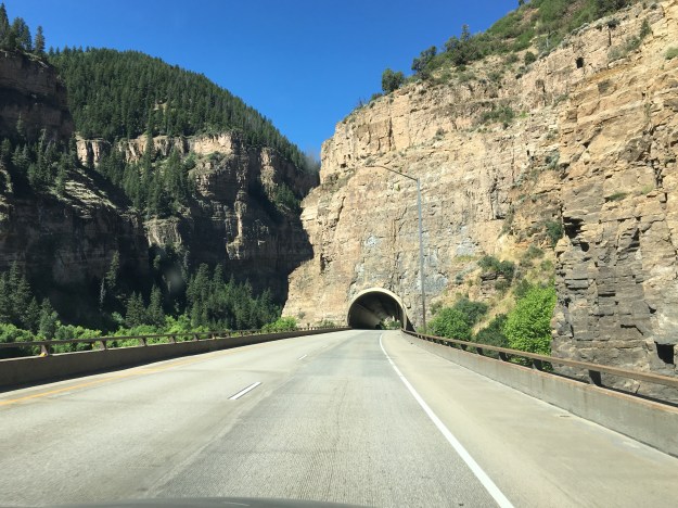
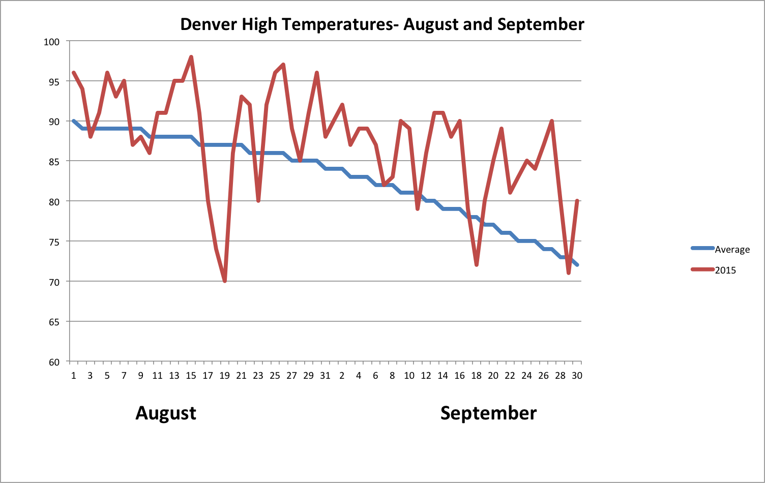
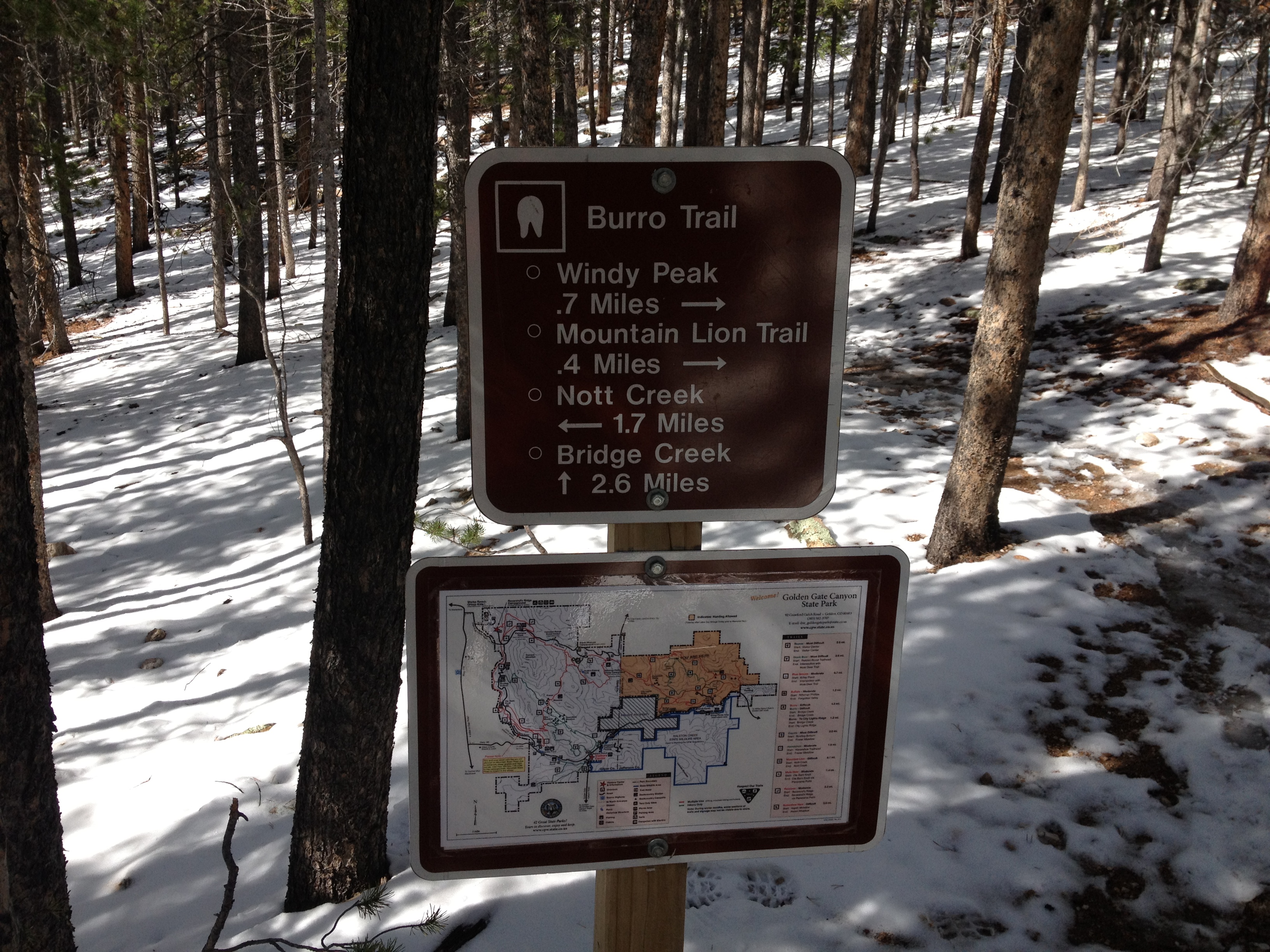
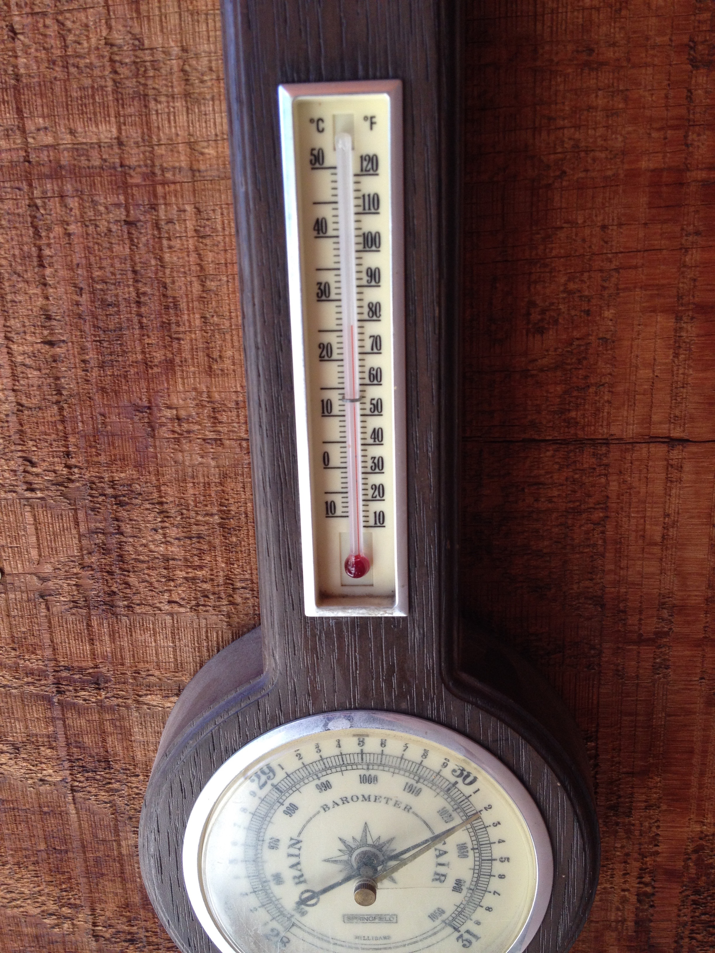
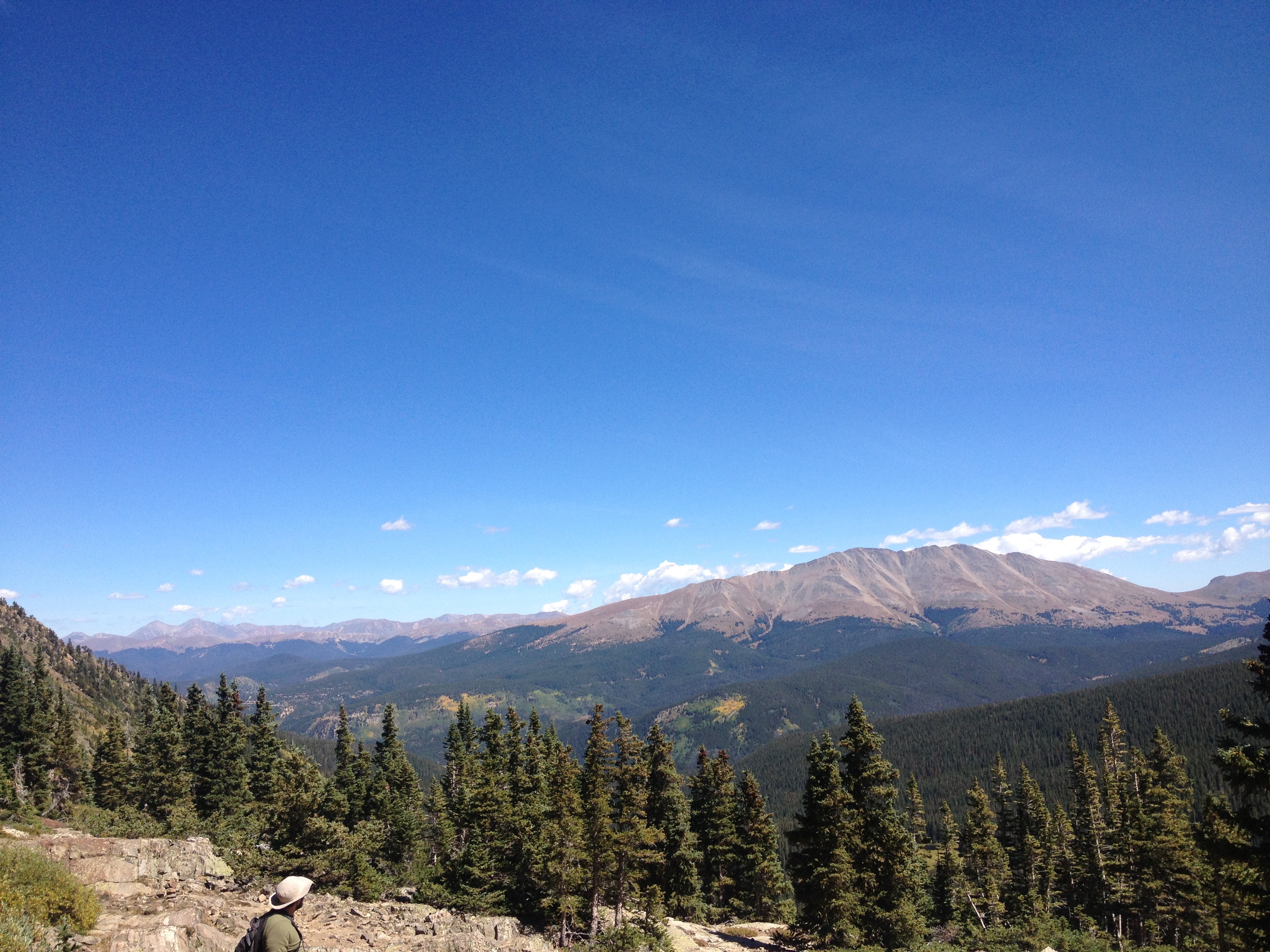
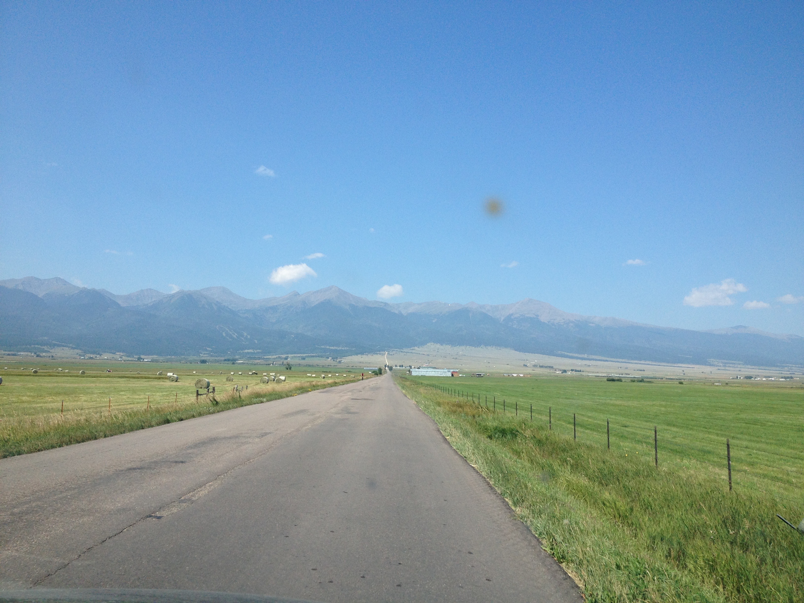
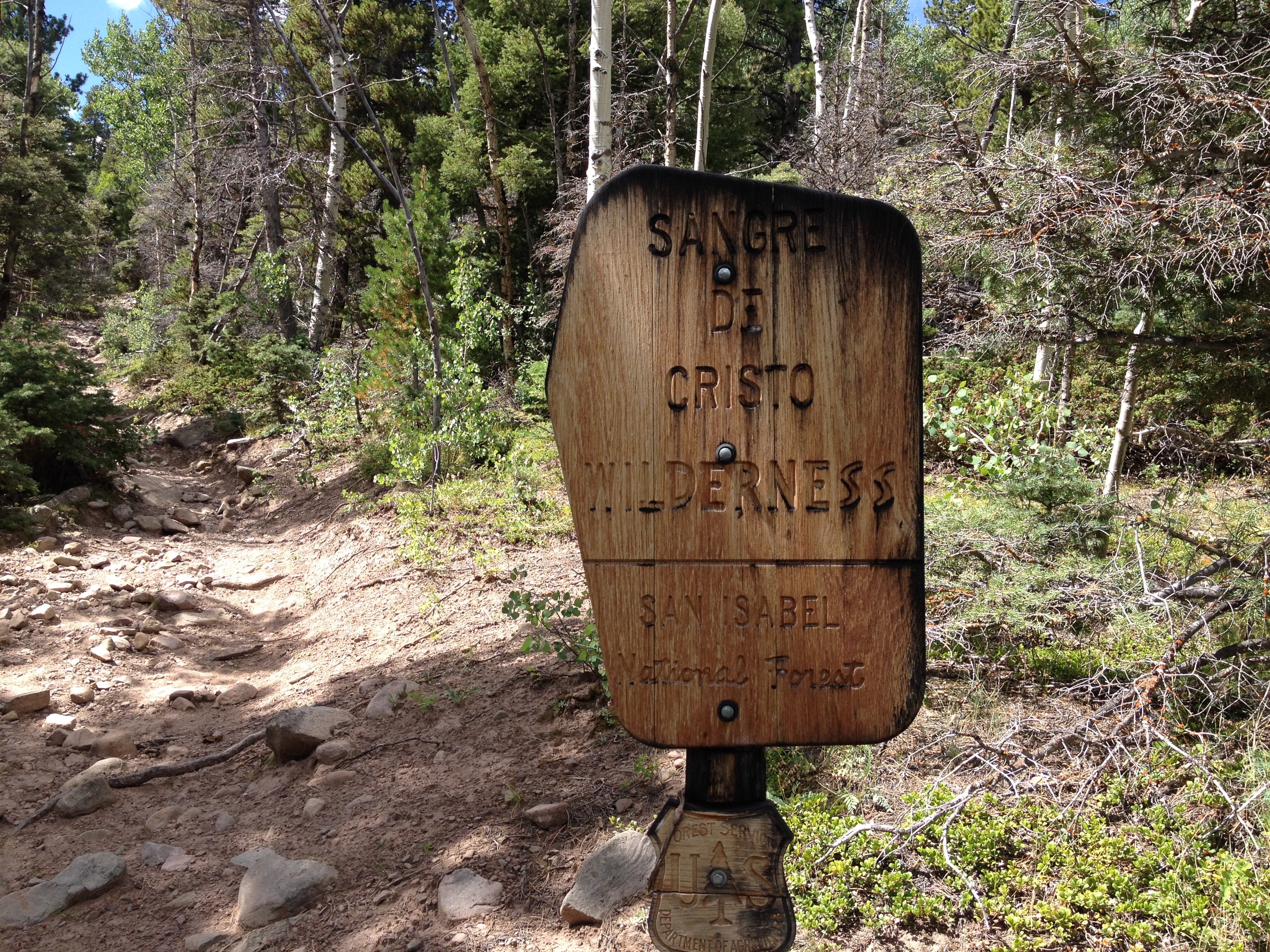
Before moving to Colorado, I experienced seasons in a completely different way.  While there would be some anomalies, for the most part, winter was winter and summer was summer.  Snow was something I experienced starting in November, through the winter, probably one last time in early April, and then not again for 6-9 months.  Likewise, heat would be primarily confined to the summer months.  In other words, I experienced being cold and being warm in two separate parts of the year.  The experience would generally only mix during the in between seasons; mid-spring and mid-fall.

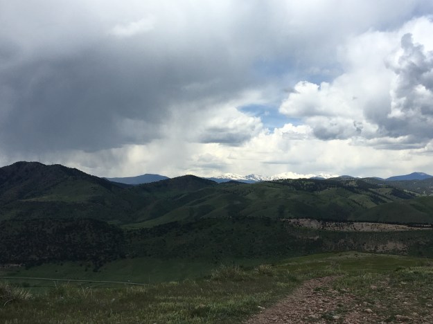
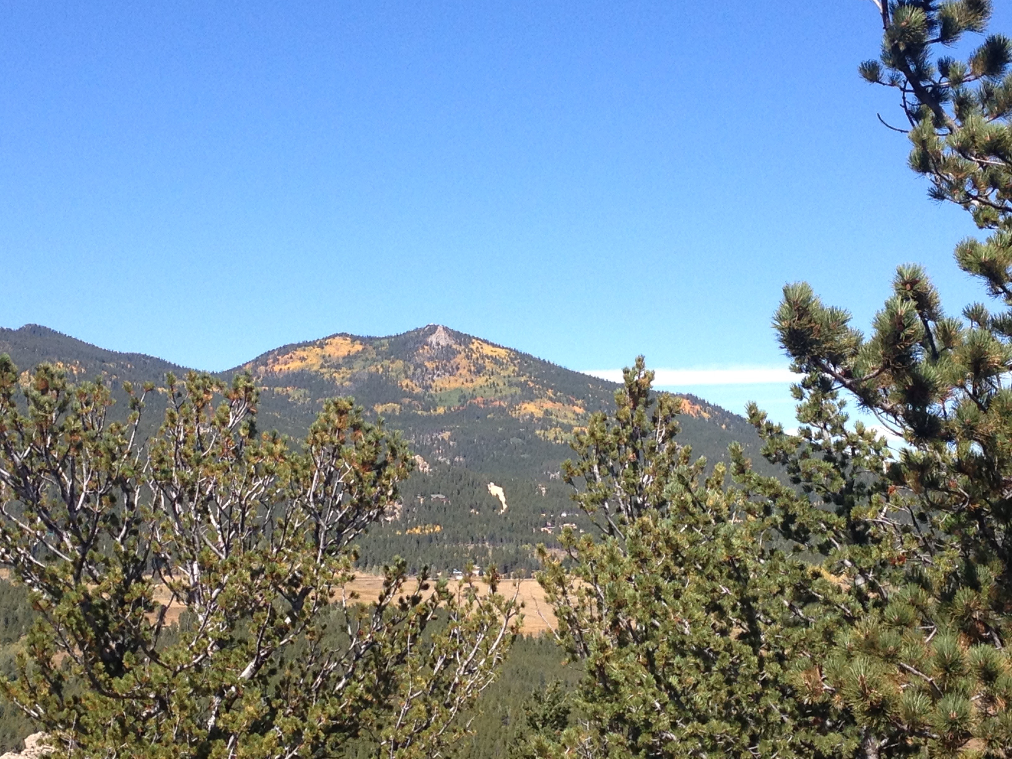
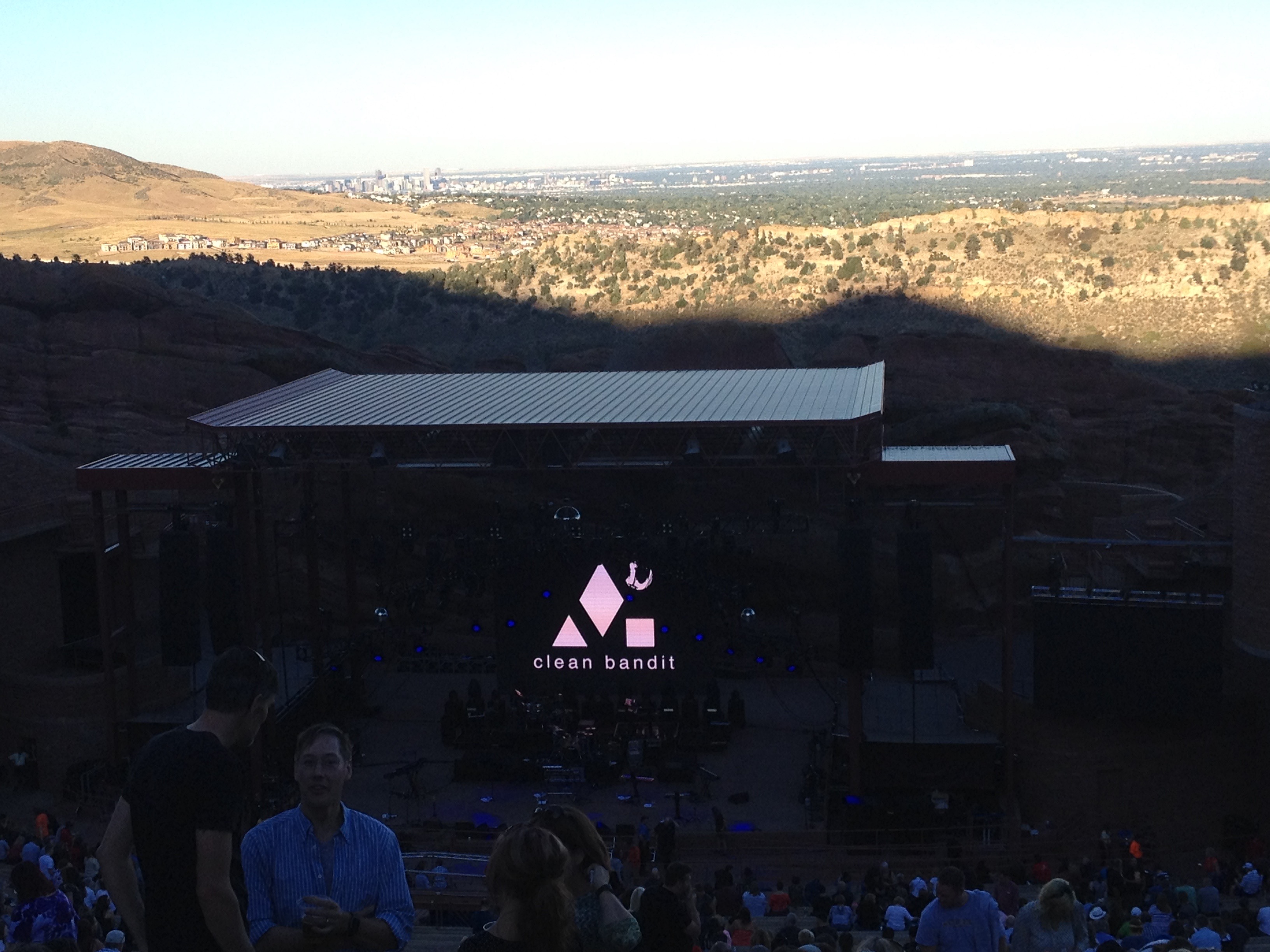
In Colorado it’s all different.  In Denver I’ve seen temperatures reach the lower 70s (23 C) in the middle of February.  At higher elevations snow can fall nearly year round, and there are places where snowpack persists well into the summer.

IMG_7154.jpg

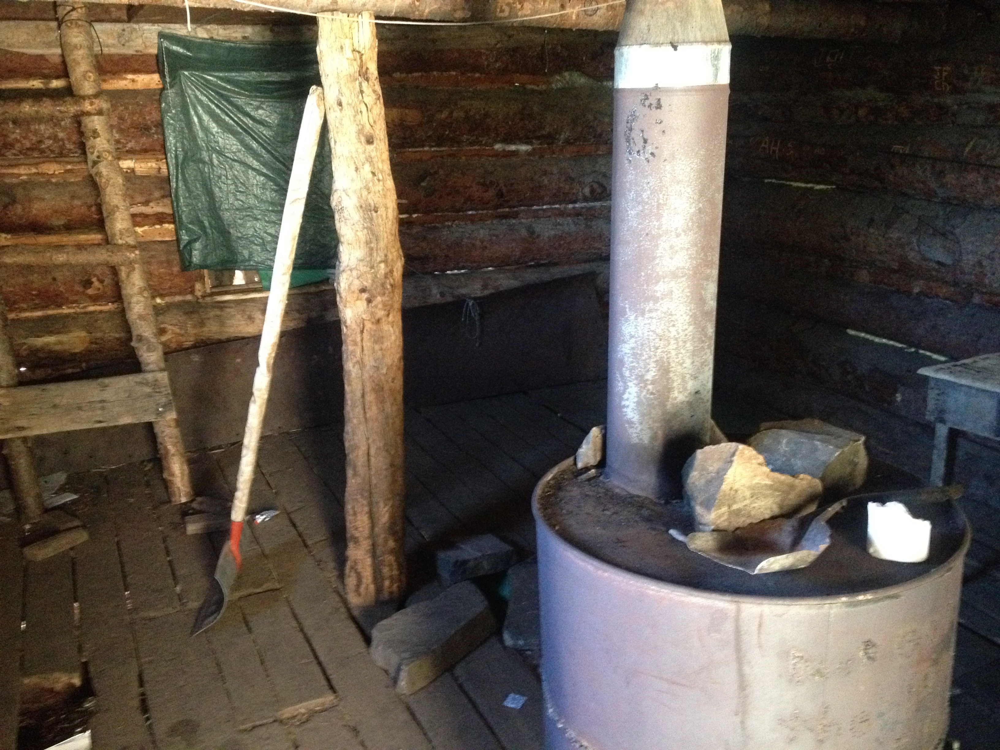
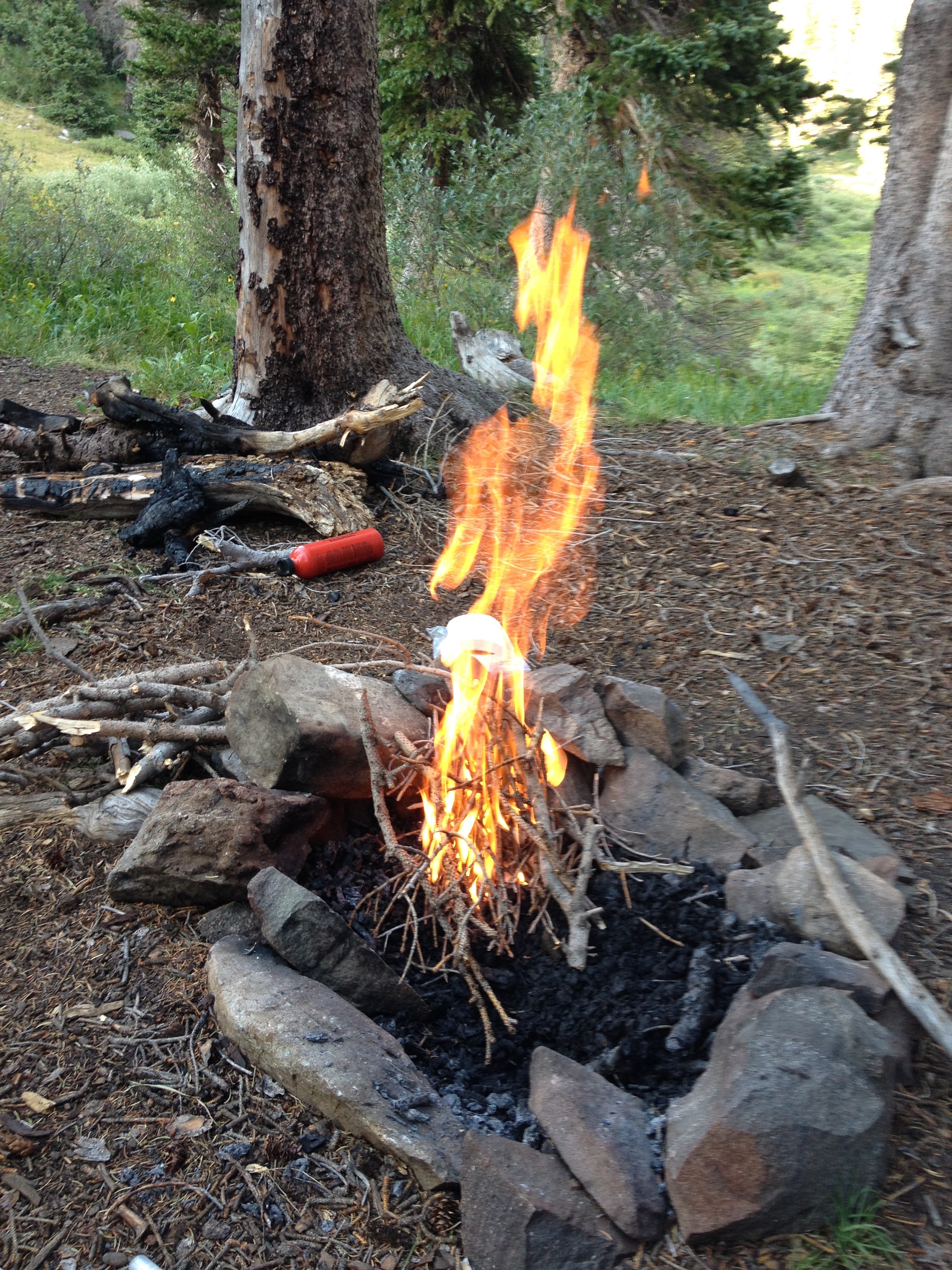
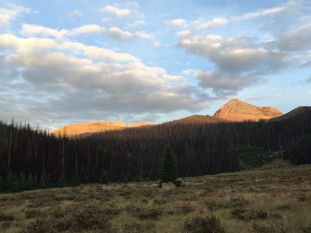
Saturday morning, the start of my second day in the Weminuche Wilderness, was a cold one.  The chill had awoken me at 3:00 in the morning, when I reached for my warm hat and for the zipper to zip my sleeping bag all the way shut.  At roughly 6:30 I woke up for good, and crawled out of the tent to find ice on the fly!  Frost was found on many of the items we left outside, including this bear cannister.

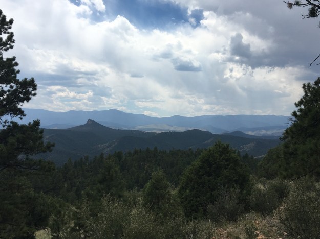
It warmed up fairly quickly at the campsite making me wonder why I did not simply stay inside the tent for another hour.  All the weather forecasts we had looked at prior to this backpacking trip had indicated that a wet period was coming to a slow end, and that each day would get progressively drier (lower probability of rain).  Yet, in the morning I saw something that would indicate differently; alto-cumulus clouds.  These are puffy clouds with a base somewhat higher up in the sky than the clouds we typically see.  On some storm chases, the presence of alto-cumulus clouds indicated the presence of moisture at higher levels of the atmosphere.  This was seen as a good sign on a storm chase, but, on a backpacking trip, is a bad sign.

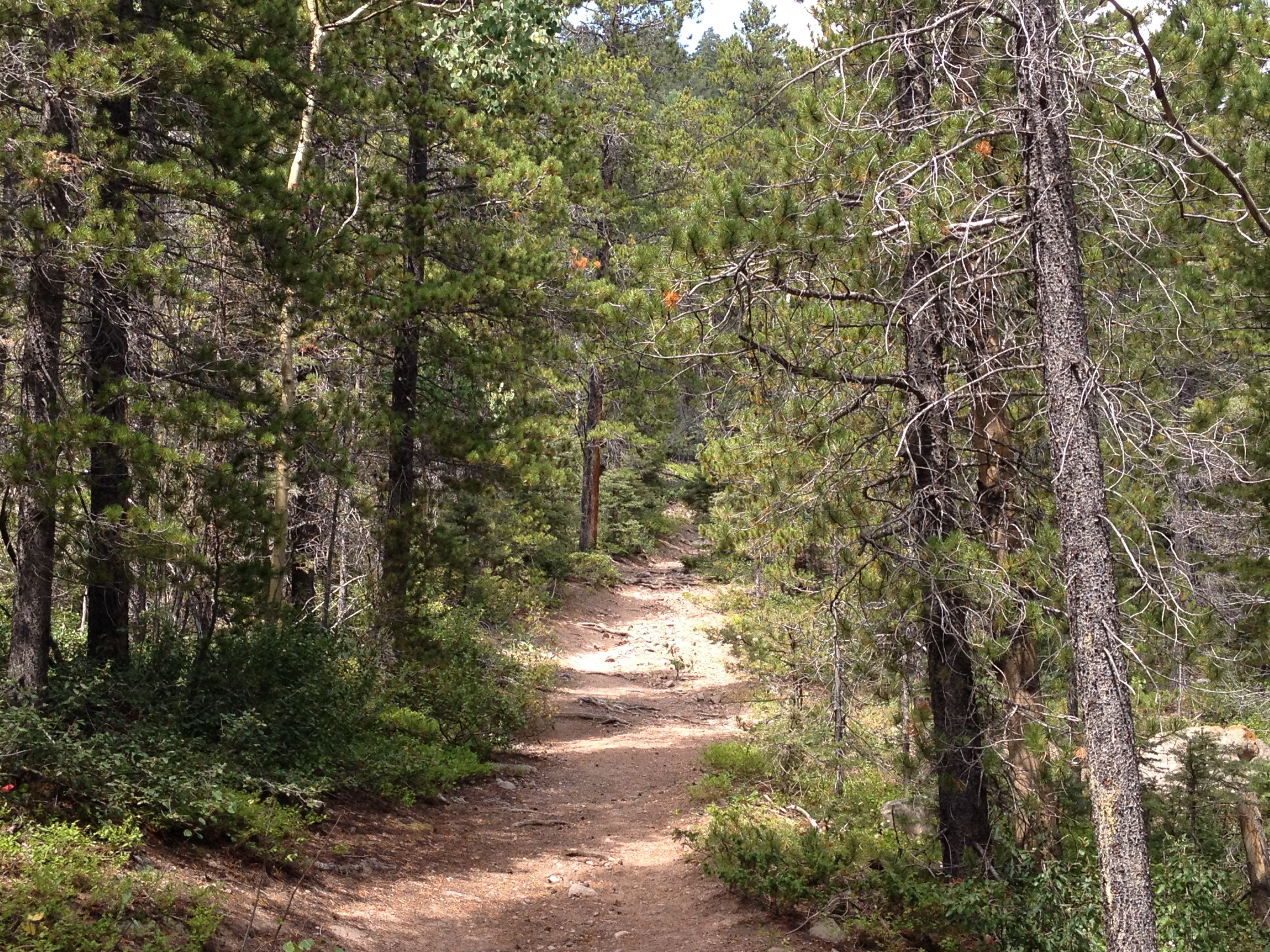
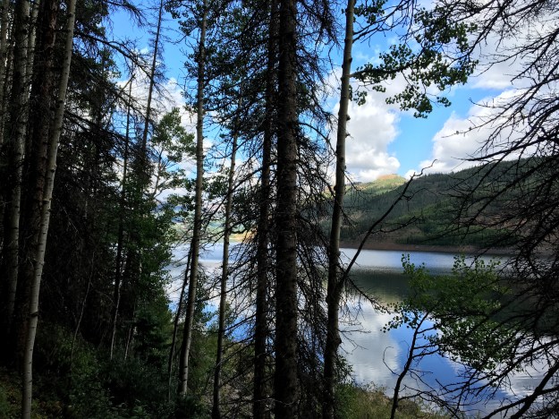
The first few miles of the day took us by a lake we are glad we did not chose to camp at the prior evening, and then back into the woods, where once again the trail was muddy kind of on-and-off.

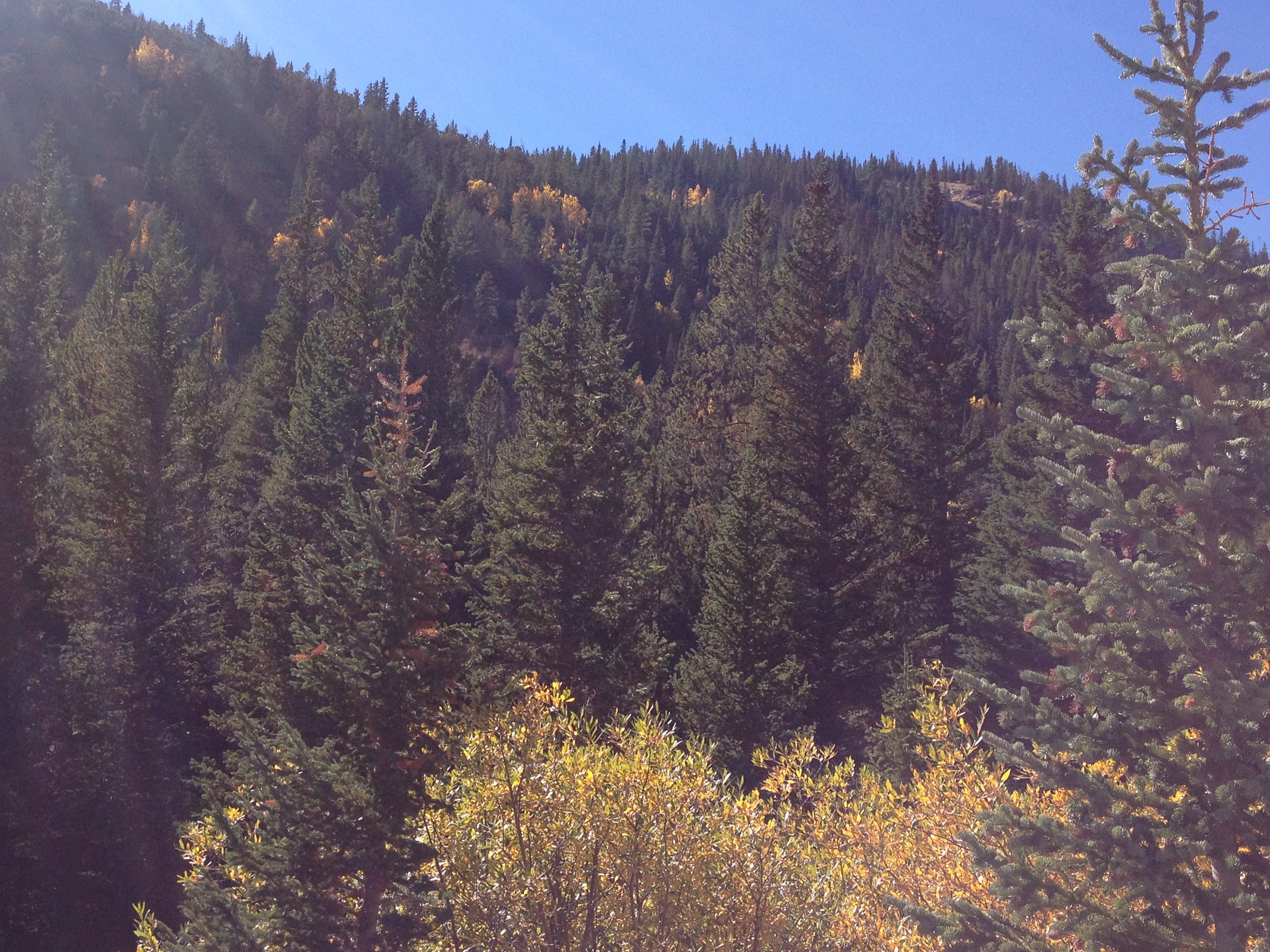
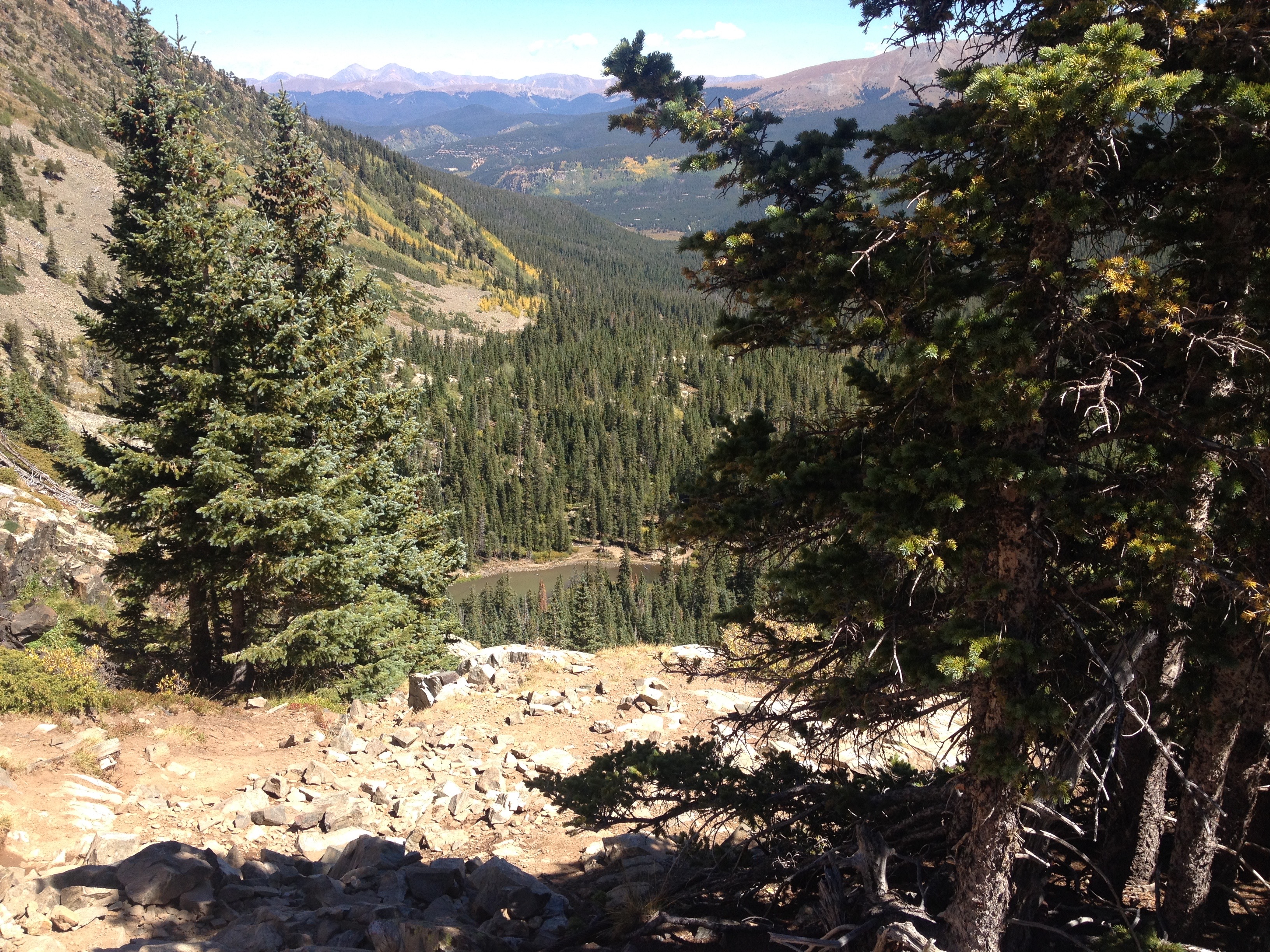
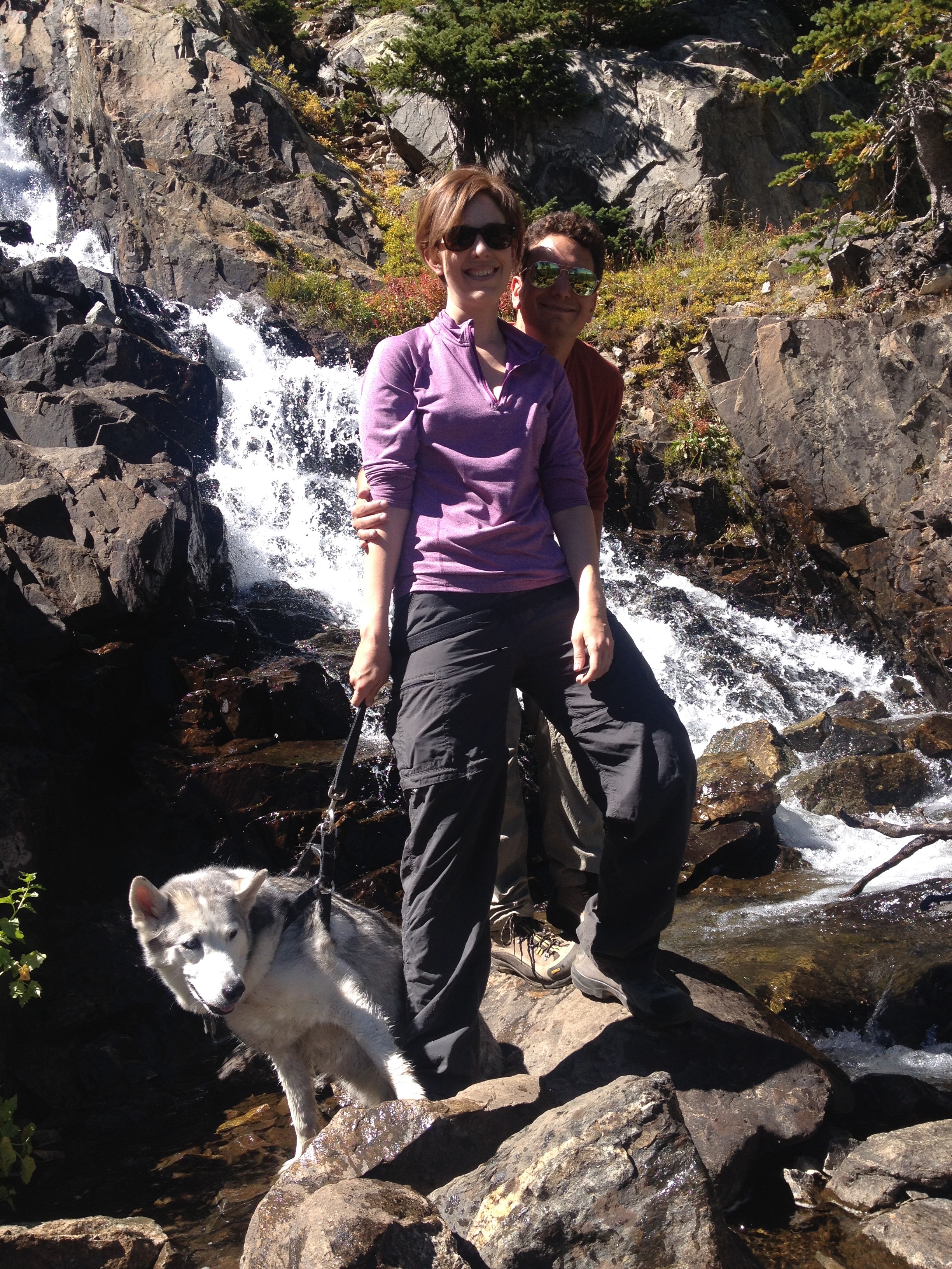
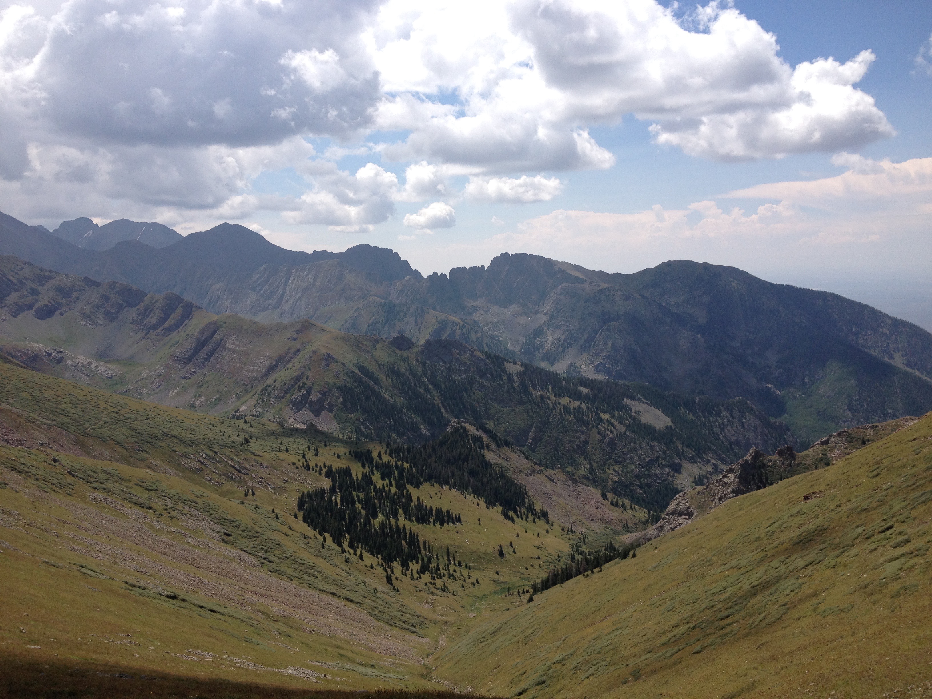
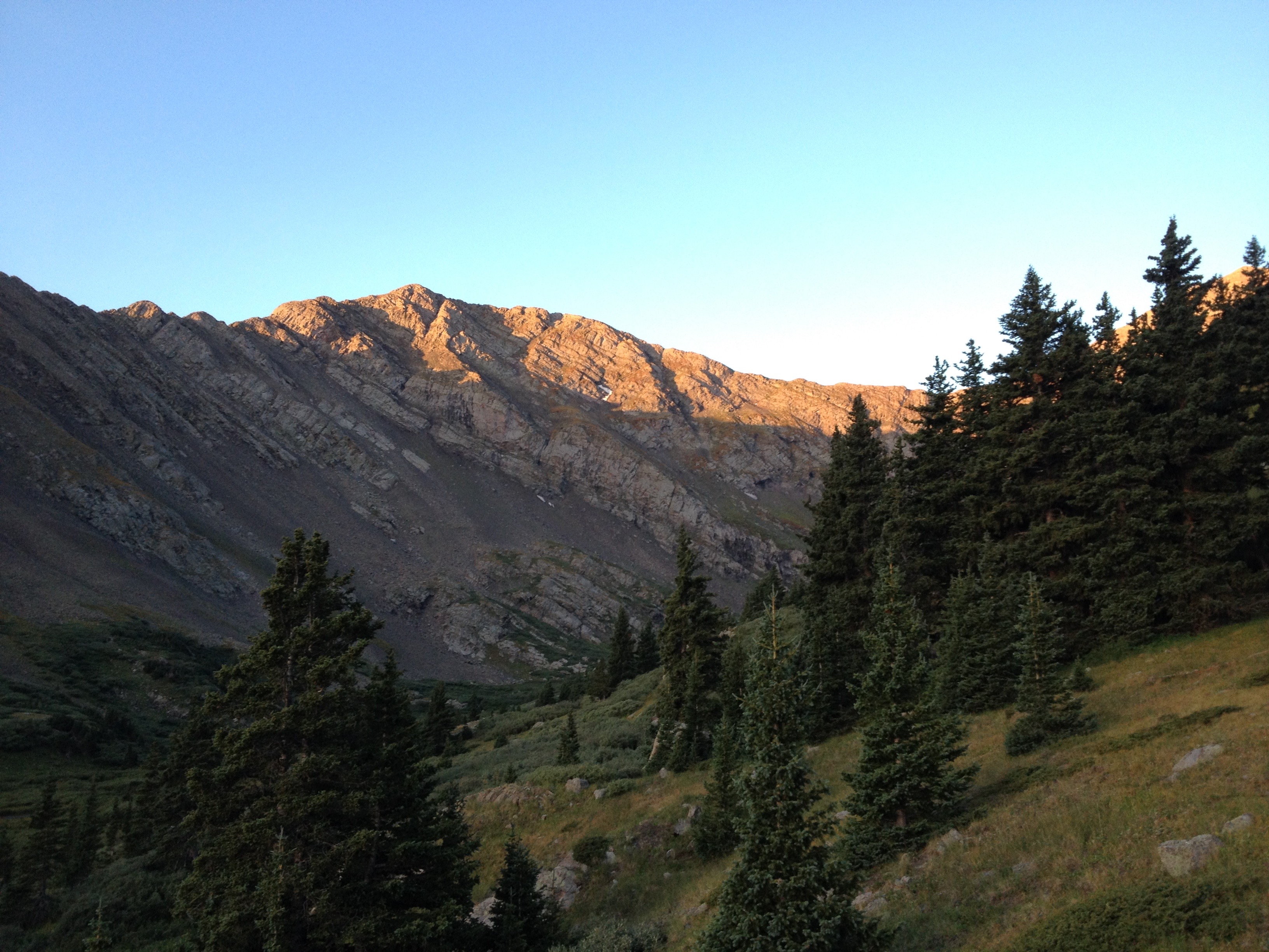
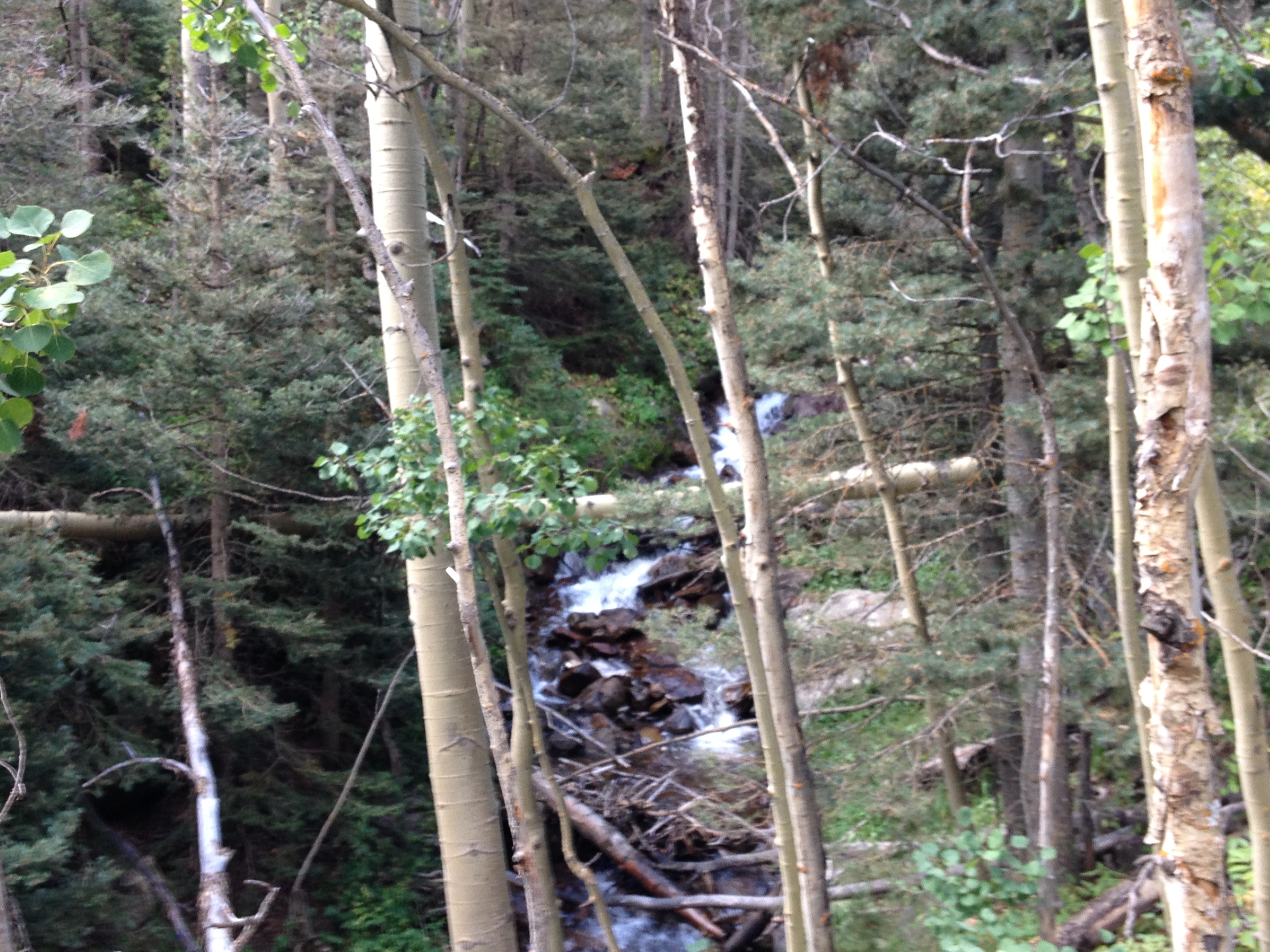
Headed farther up in elevation, towards the summit of the day, we approached the tree line, encountering several waterfalls.  This one, by far, was the most pictureqsue.

IMG_7175.jpg

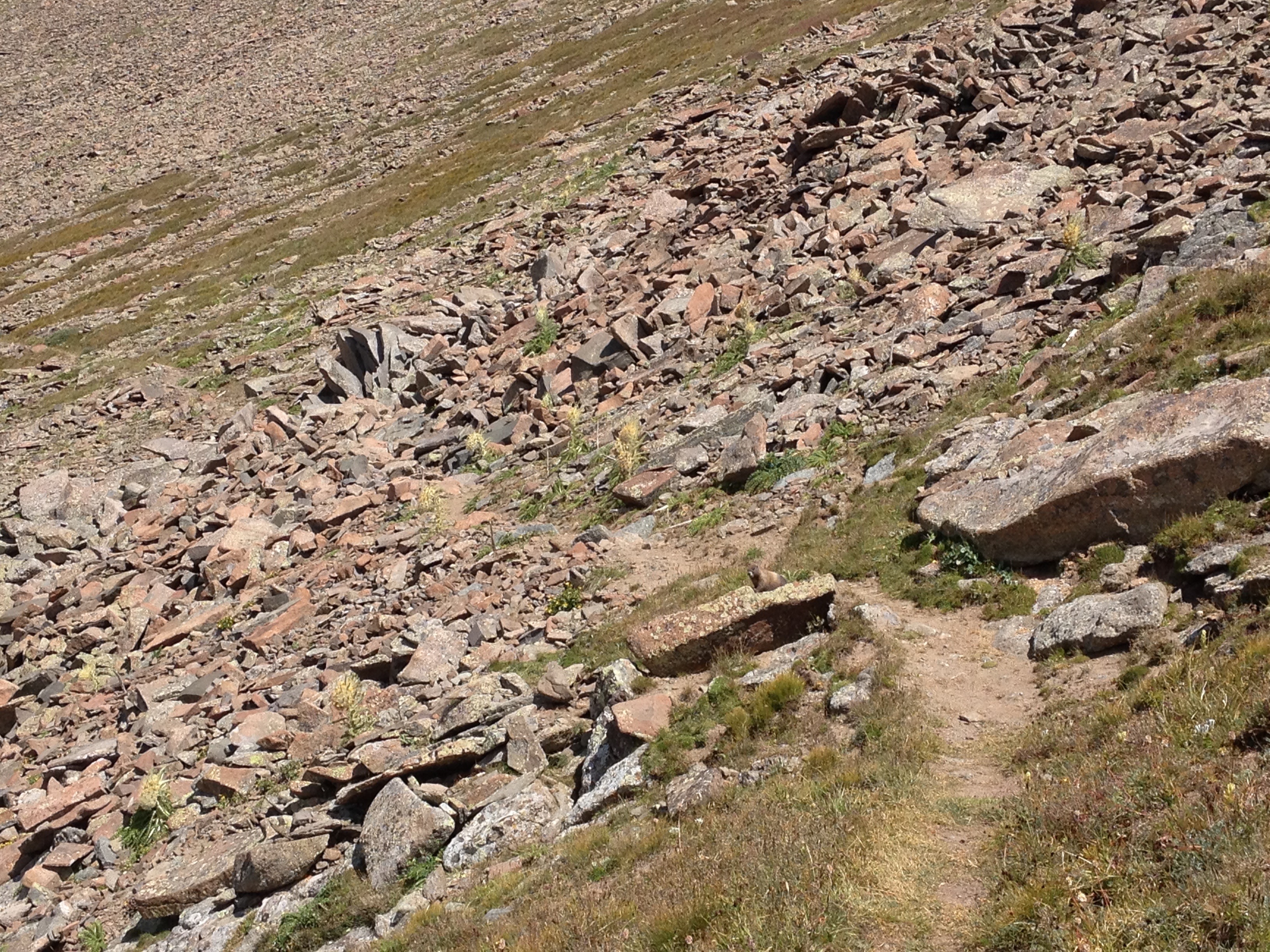
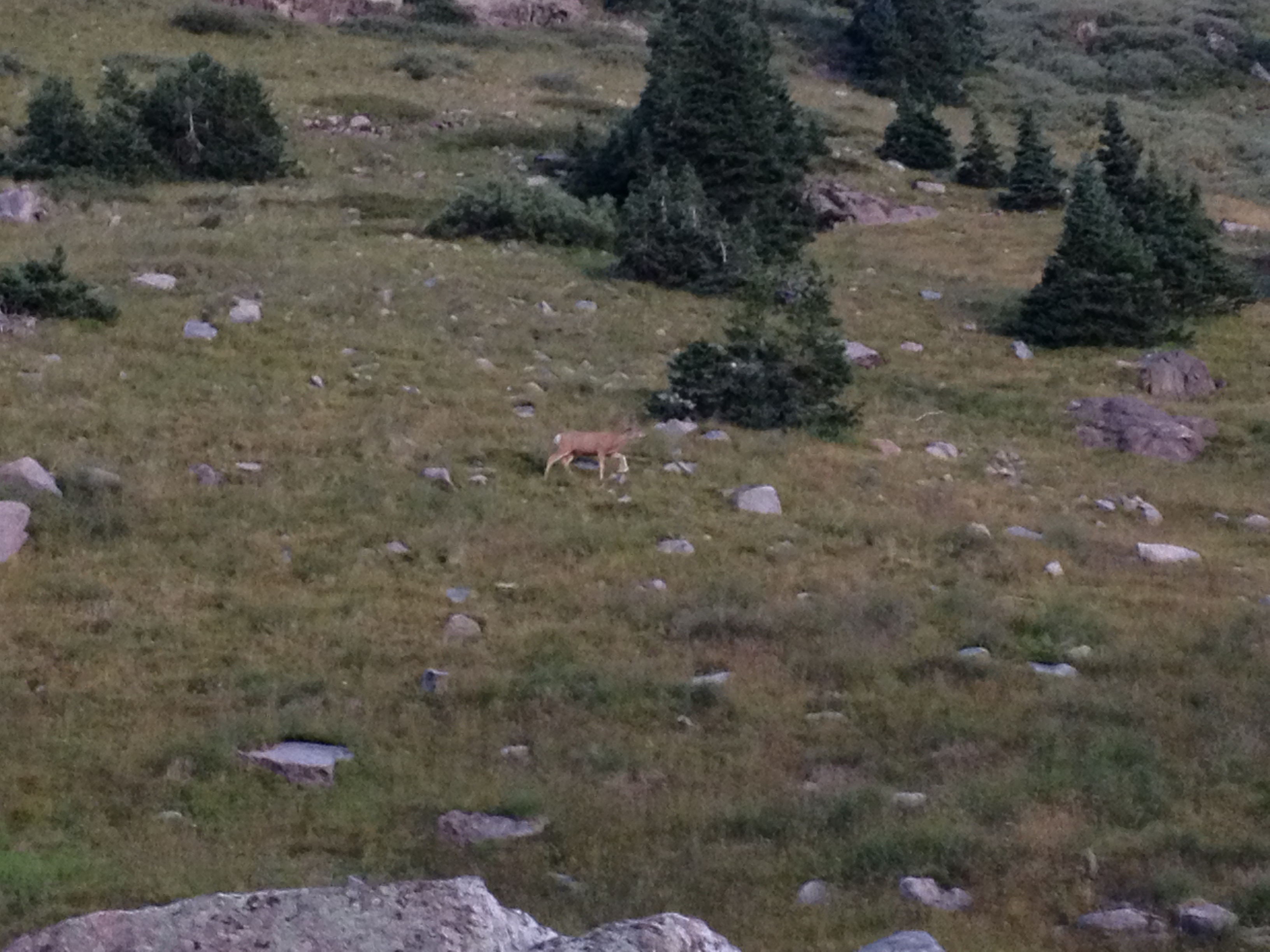
I did not even know the name of any of these waterfalls.  In fact, I did not even verify that they even have a name.  It didn’t even seem important at the time.  We just liked what we saw.  At that time, most of the conversation within our group revolved around whether we would see marmots in the nearby rocks, and speculation as to what elevation the tree line was at at this latitude.

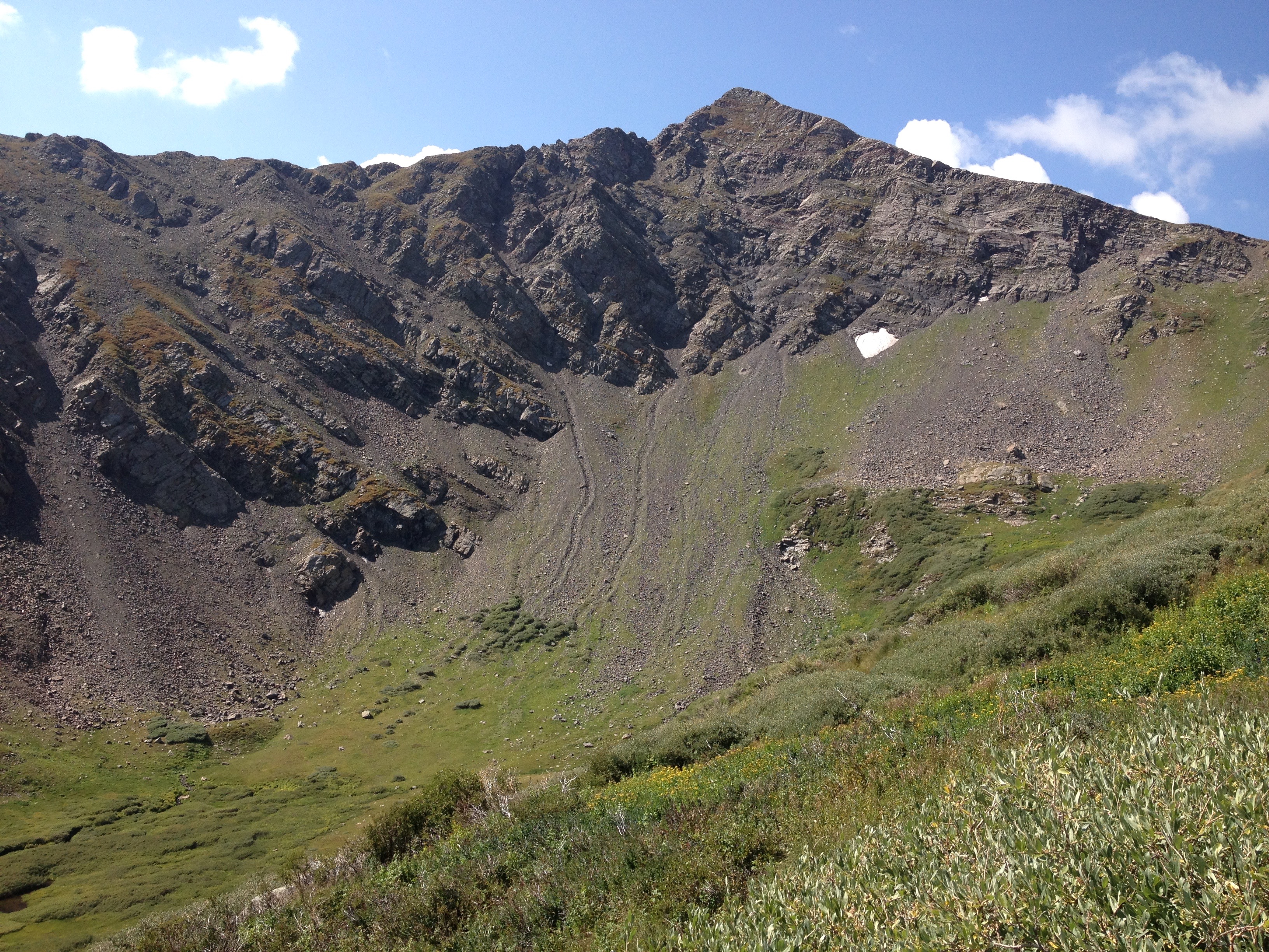
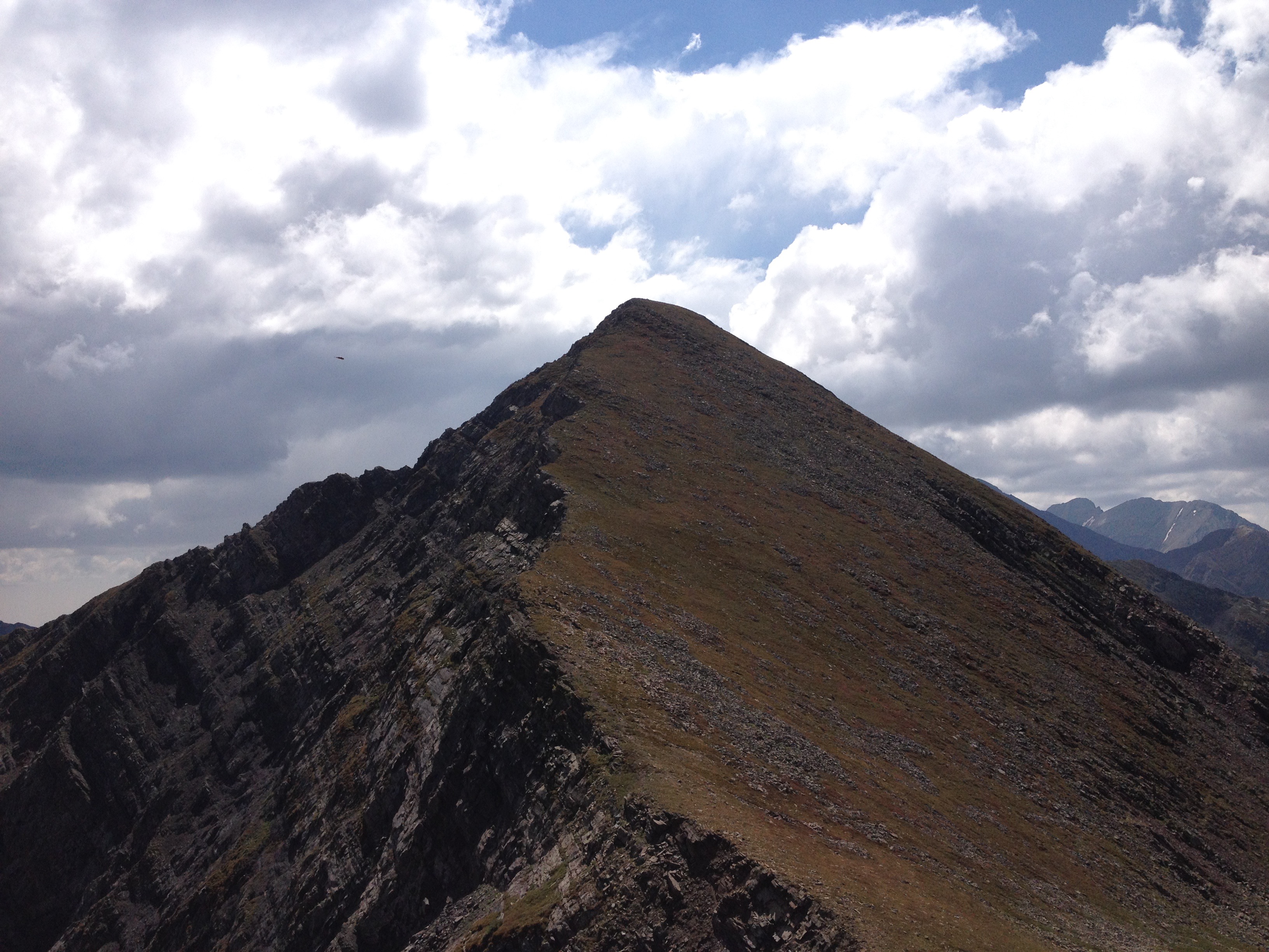
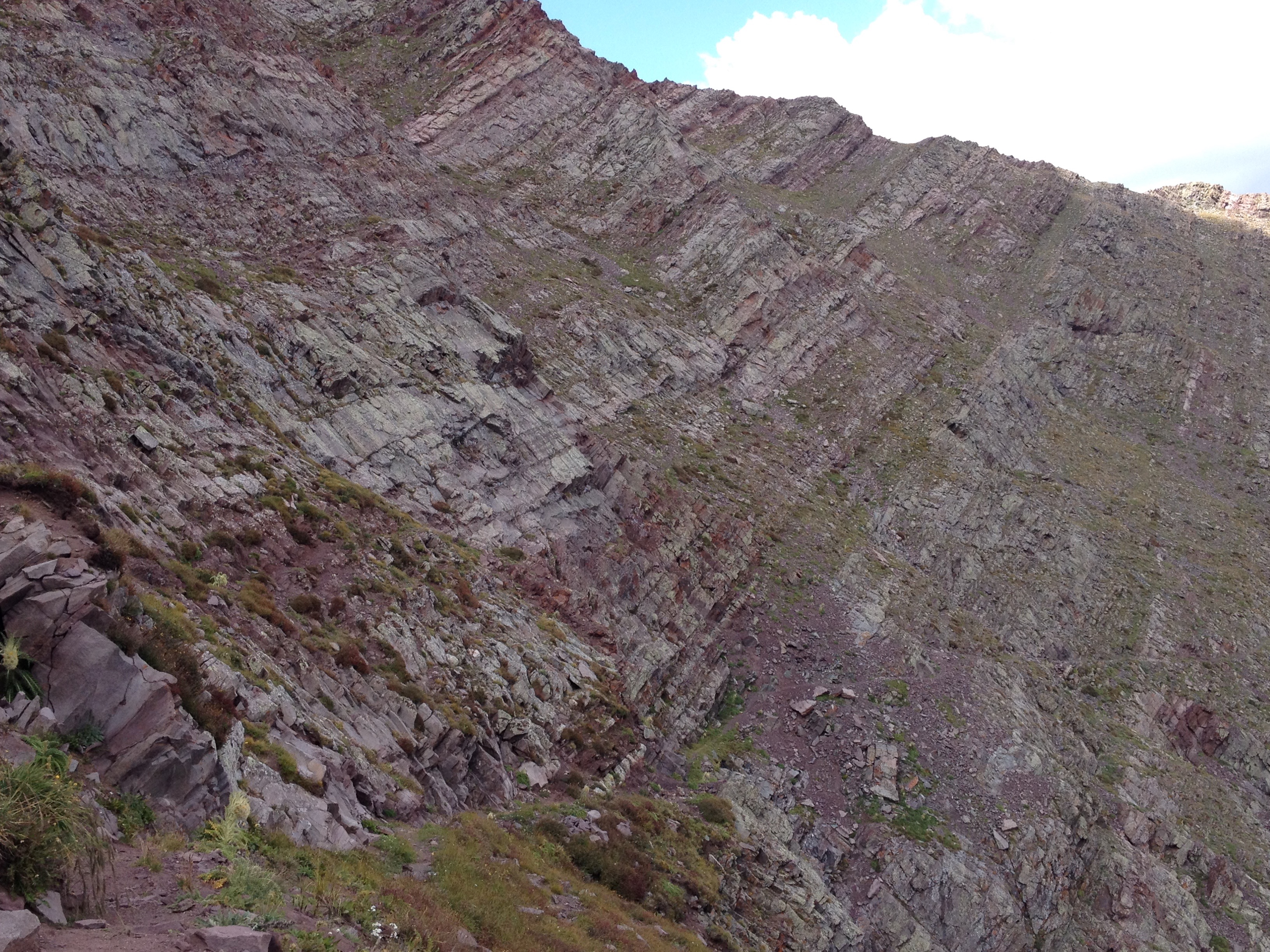
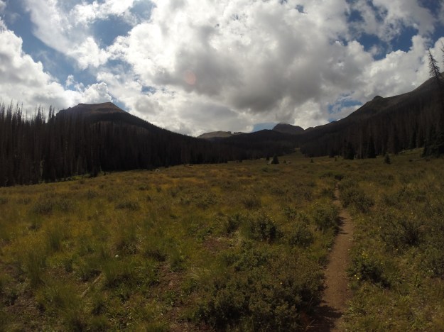
We followed the Rincon La Vaca (Cow Canyon) trail, which is also considered a section of the Continental Divide Scenic trail, above the tree line, and approached a rock formation we had been looking at since early the prior afternoon, “The Window”.

IMG_7183

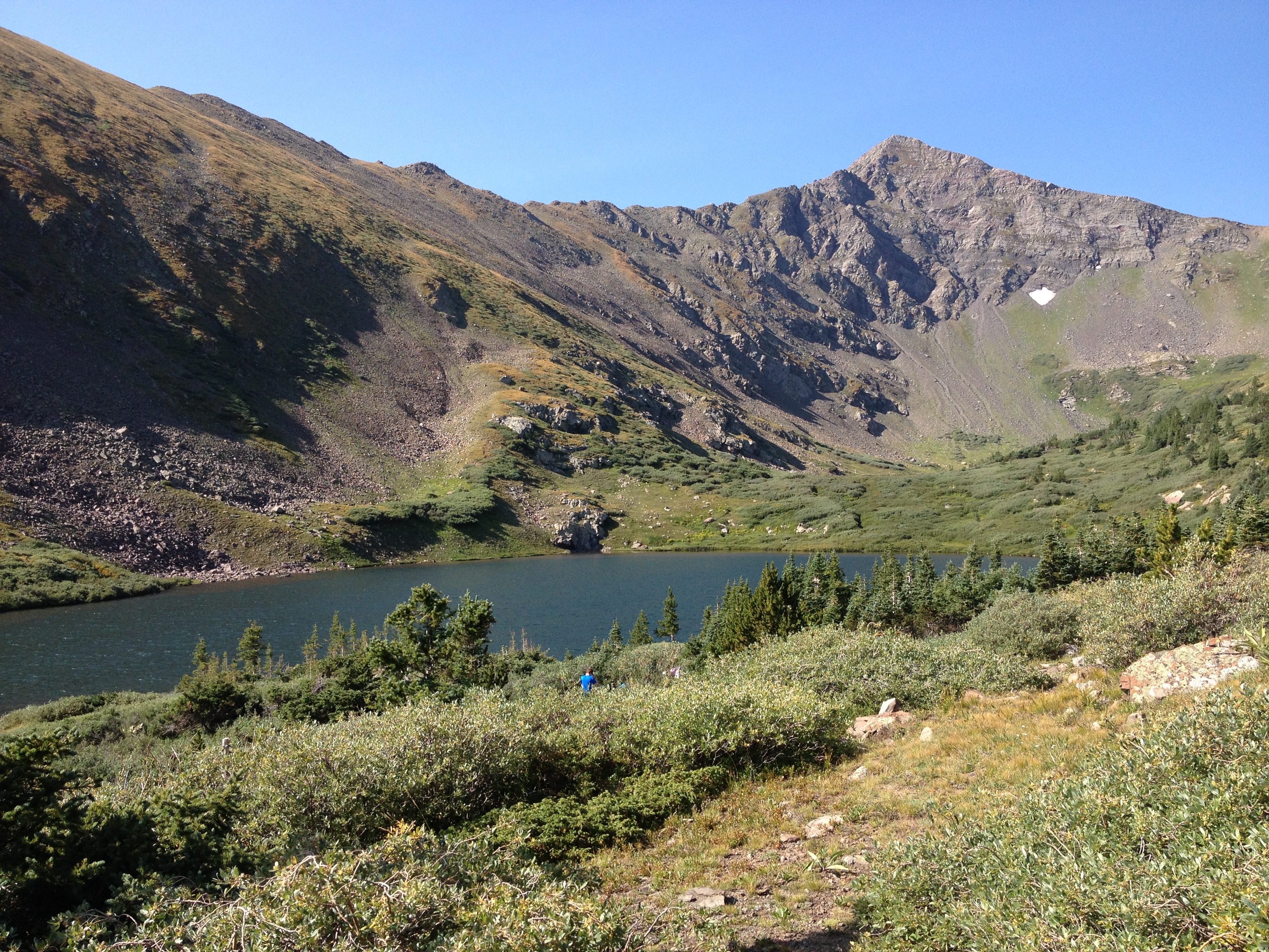
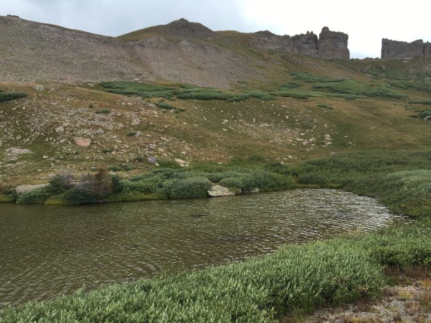
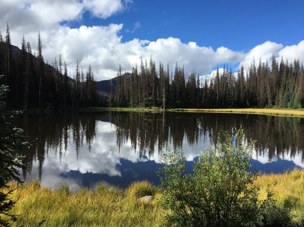
This is where we decided to stop for lunch, at a lake where we could safely refill our water bottles.

IMG_7188

It was noon when we finished eating lunch and, four of us (out of a group of six) decided, despite the potentially ominous weather, to make a side excursion.  We dropped our packs and hiked the 500-ish feet (and half a mile) up to “The Window”

We got back to the lake, where our backpacks were, around 1:00.  As soon as we prepared to move, and catch up with the rest of the group, it started to rain.  A few minutes later, ice pellets began to fall from the sky.

IMG_7200

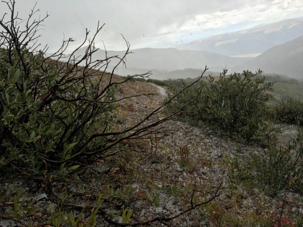
We briefly took shelter from the inclement weather, but eventually soldiered on through the not quite rain not quite ice, which would eventually change over to snow!

IMG_7203.jpg

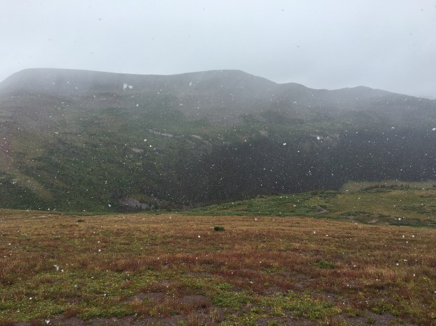
I experienced a lot of this living in Chicago.  I called it “precipitation jambalaya”.  But, I never thought I would hike through it, and, well, am used to experiencing this in December, not late August!  Once again, that thing about the seasons!

IMG_7205

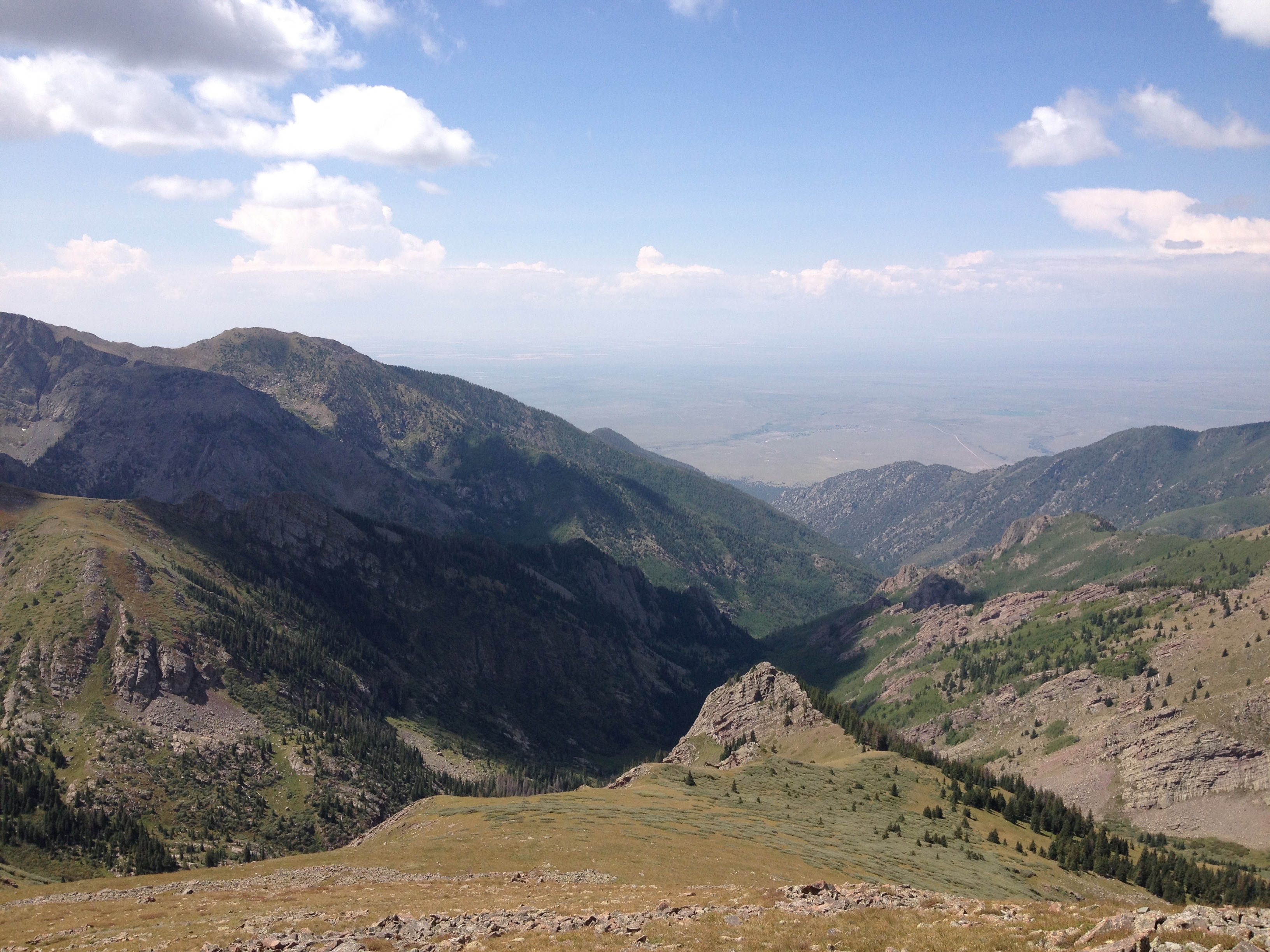
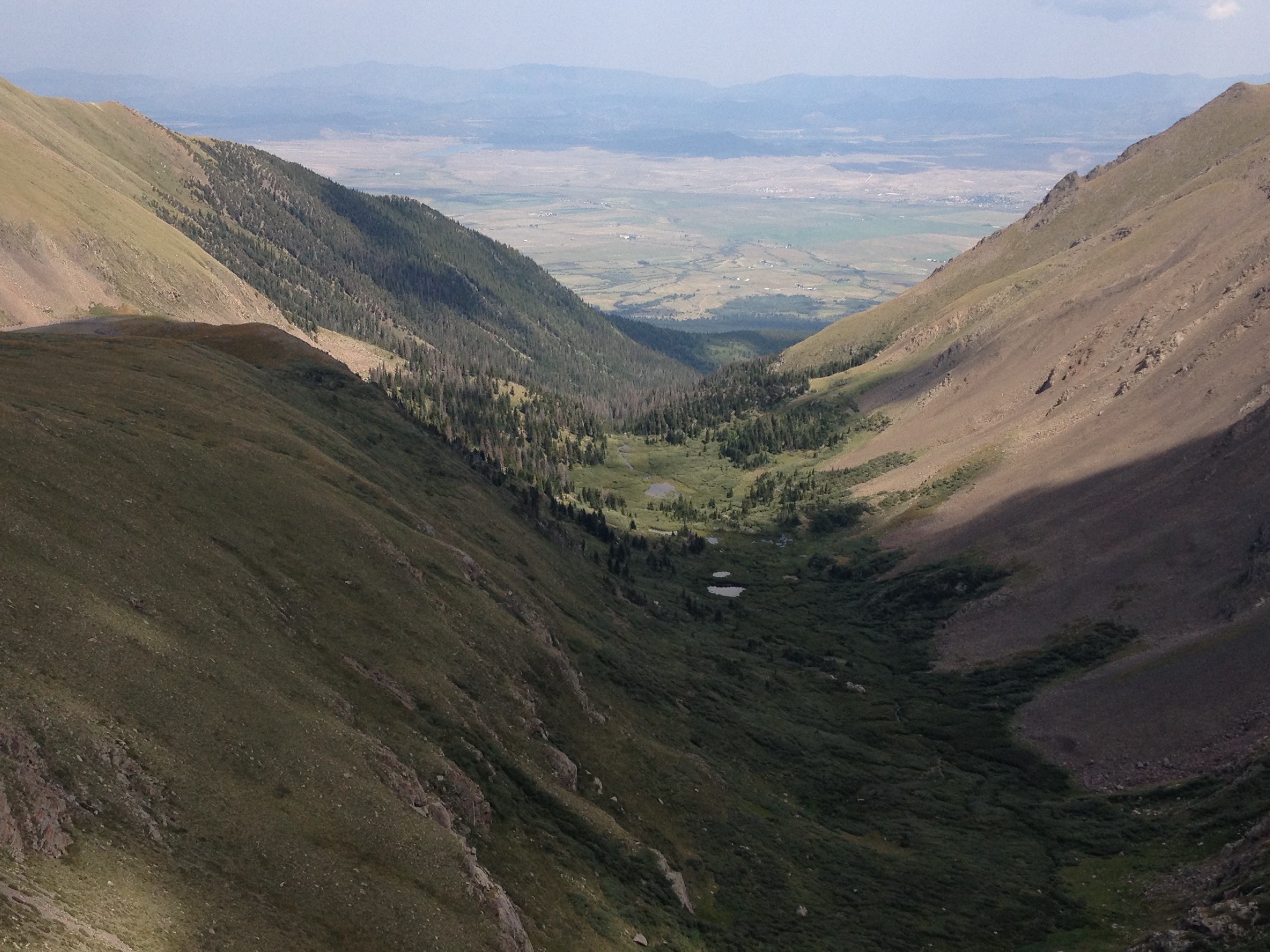
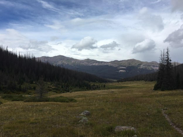
The precipitation stopped right before we turned off the Continental Divide/ Rincon la Vaca trail, and started looking for the trail we would take back towards the reservoir, the East Ute Creek Trail.

IMG_7207

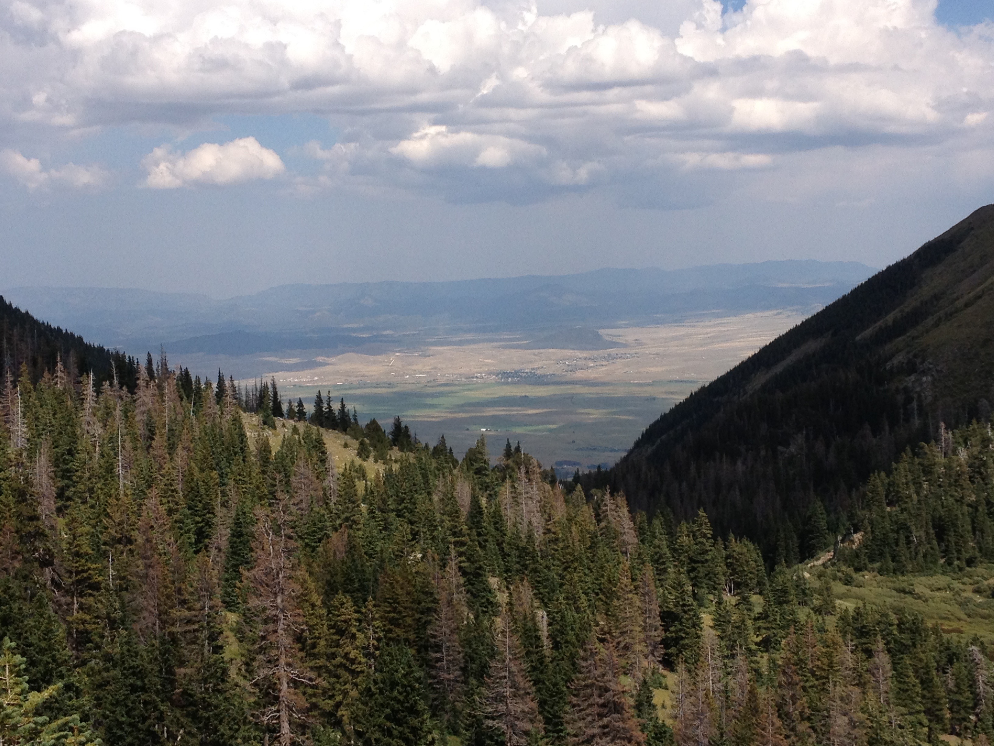
The scene looked familiar.  The shape of the Ute Creek Valley where we were headed, with an open meadow surrounded by mostly dead forests on either side looked quite similar to the Weminuche Creek Valley we had hiked through the prior day.  The trail, though, was hard to find.

For the first mile we kept losing the trail, or we just saw it show up only as a barely visible line in the grass.  We actually speculated as to whether or not this trail was so infrequently used and/or maintained that mother nature was basically starting to take it back!

IMG_7213IMG_7214

We hiked until roughly 5:00 P.M., and by the time the day was over we hike a total of 10.2 miles (11.2 for those of us that took the side excursion to “the window”).  The last hour featured two crazy river crossings where we actually removed our socks and shoes.

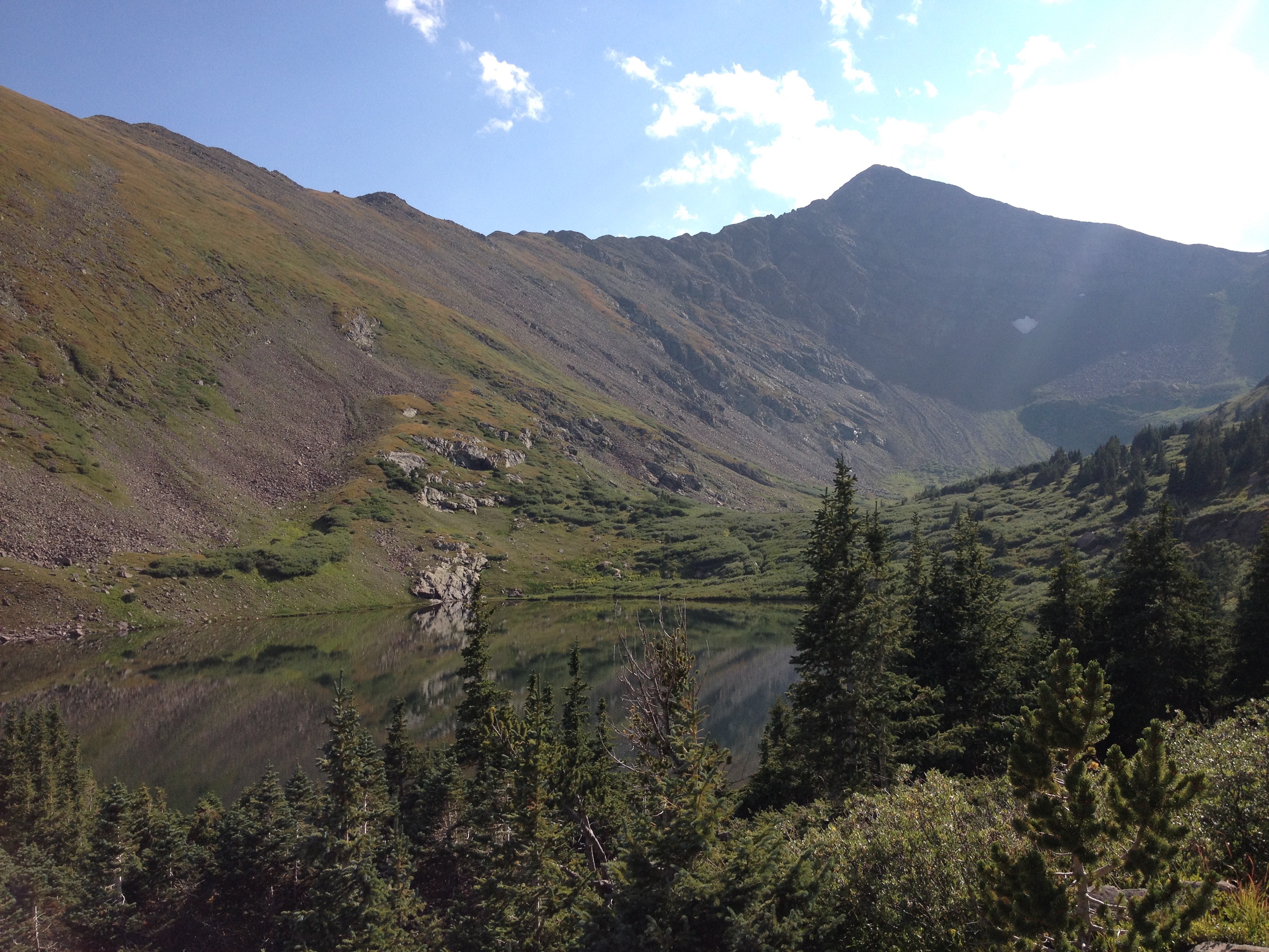
We found a campground near a small lake called Black Lake, where, once again, the weather took a turn for the worse.

IMG_2867.JPG

The rain started shortly after 6 P.M., and did not let up until after sundown.  I rushed back into my tent!  With all of the experiences of the day, the mixed precipitation at over 12,000 feet elevation, wading through water, and now, once again, more icy rain, I was cold!  I was way colder than I wanted to be, and way colder than I ever imagined being in the month of August.  For the first 20-30 minutes, I had to lie sitting still inside my sleeping bag, otherwise I would start to shiver.

All I could think of were things that were HOT and DRY.  I wasn’t even thinking of warm, pleasant experiences, like drinking rum on a beach in Puerto Rico at sunset.  I was thinking about things that would immediately heat me up and dry me off; sheets that were pulled directly out of the drier, a sauna, Death Valley!

IMG_7237

With the hard hiking parts over with, I had originally hoped to have kind of a party with the group on Saturday night.  We had even brought flasks, filled with whiskey for such an occasion.  But, the weather changed my plans, as the rain continued and I continued to periodically hear thunder through the 7:00 and 8:00 hours.

I also did something I never do on group trips; read.  I joke I often bring a magazine or even a book, places, but never touch it.  This time I actually read.  It was the July edition of Adventure Cyclist.  Fitting for the mood, thinking about warm places while trying to stay warm, I read full stories about cycling journeys through Morocco and Hawaii, both warm places!

I guess regardless of whether you are in an urban setting or in the wilderness, life has a way of changing plans.  In the city, it is some merger, or a random change in commodities prices.  In nature, it is the weather.  But, when it comes to rain, and anytime rain changes my plans, I always do my best not to complain.  Even while I was bummed that I was not partying with my friends and hating how cold I was in my tent, I was mindful to remember that rain is necessary for the food we eat, the water we drink, as well as everything that made this trip possible in the first place.  I do not want to be one of those people that fails to realize this, and cannot put up with a little bit of rain.


Backpacking in the Weminuche Wilderness: Day 1

G0141034.JPG

During the month of August I had fallen back into some bad habits.  In particular, I’d fallen into the very habit I often criticize my own generation for: scrolling.  I know the costs outweigh the benefits.  By gazing at the predictable content of our news feeds and customized social media echo chambers on our phones, we miss out on countless opportunities out there in the real world, all to avoid the discomfort of boredom, or a potentially awkward interaction with another human being.

It’s not just about scrolling.  Scrolling is what we all see.  It’s the same routine day in and day out.  It’s going to the same bars and restaurants over and over.  It’s watching movies and TV shows we have already seen multiple times instead of calling people up and organizing a social gathering.  It is all the things that we do because the alternative requires a greater amount of effort.  It’s low risk, low effort, and low reward.  Unfortunately, for me, it lacks stimulation, it lacks enthusiasm, and over time can even lead to depression.

I haven’t thought of a better word for it than “defaulting”.  I often feel as if there is some sort of invisible force always dragging us toward this kind of life, this “defaulting”.  There seems to be a constant struggle, to mix things up, to avoid the mundane, to avoid losing contact with people.  And, while I think my personal record is pretty good (i.e. all the things I write about in this blog), there are times when I get tired of the struggle, and times when I do feel as if this invisible force is indeed advancing on me.  At these times, it is good to have some sort of activity, or some sort of trip that helps us hit the “reset” button.

IMG_7091.jpg

For this purpose, there truly is nothing like going into the woods, away from it all, out of cell service, completely out of my comfort zone, and in a place where “defaulting” is not only no longer easier, but not an option at all!

Our three day backpacking trip began at ThirtyMile Campground, just a mile or so east of the Rio Grande Reservoir.

After passing by a weather station, that is near and dear to me, as it is one of the stations that helped me calibrate the mean impact cold air funneling, in valleys throughout Colorado, has on nighttime lows, we encountered the Rio Grande Reservoir within the first mile of our trip.

IMG_7098.jpg

Going into this trip, which had been planned for several weeks ahead of time, we knew there would be muddy trails, and a heightened chance of rain.  Not only is Southwestern Colorado the most active part of the state during the late summer monsoon season, but this past weekend featured an active pattern in the region.

Friday was supposed to be the most active day, with regards to chances for precipitation.  Yet, we lucked out.  Leaving at 10 AM, after enjoying a nice relaxing morning at the campground, we hiked 7.5 miles, up the Weminuche Trail, dealing with very little rain, only with muddy trails.  Mindful of the storm threat, we stopped shortly after 3:00 P.M., having found a good spot to set up camp, near a stream and some trees.  Despite the periodically ominous looking skies, the storms held off until after sundown, giving us plenty of time to set up camp, cook a nice meal, and take in the wilderness, now being officially away from civilization.

I felt exhausted at the end of the day, as I had not gotten a good night sleep the prior evening at the campground.  So, I ended up going to sleep shortly after sundown.  With two backpacking trips behind me, I am starting to think that sleeping even more than the normal 7.5 hours per night is pretty normal on trips like this.

I spent the last waking hour of the evening inside the tent, listening to the sound of gentile rain tapping on the fly.  Under normal circumstances, many of us drown out these sounds, with TV, music, or some other sound.   Hearing this sound, for nearly an hour before falling asleep made me imagine a completely different life.

I imagined myself, as I often do, as a completely different person, with a completely different personality, upbringing, circumstance, and desires.  I imagined myself living in the woods, in a cabin of sorts, not too unlike the kind many people in Michigan, Minnesota, or Wisconsin have today.  It would be a modest sized cabin, with one main room, a bunch of bedrooms, a kitchen, and a closet, to keep things like cross-country skis, wet suits, and all of the other necessary equipment.  But, I would not have too many high tech or expensive toys.  It would be a life in a small community of sorts, where people know one another, spend a lot of time over at each other’s houses for dinner and games.  It would be a life way closer to, and way more connected with nature.  It would be a life that would never satisfy the real me, as restless as I get for one adventure after the next, one major social interaction after another, and testing limits.  But, for this alternate person I imagine myself being, as I drift off to sleep on a rainy August evening high in the San Juan Mountains of Southwest Colorado, it is perfect, cozy, and quaint.


A Moderate Hike at Reynolds Park

IMG_6790
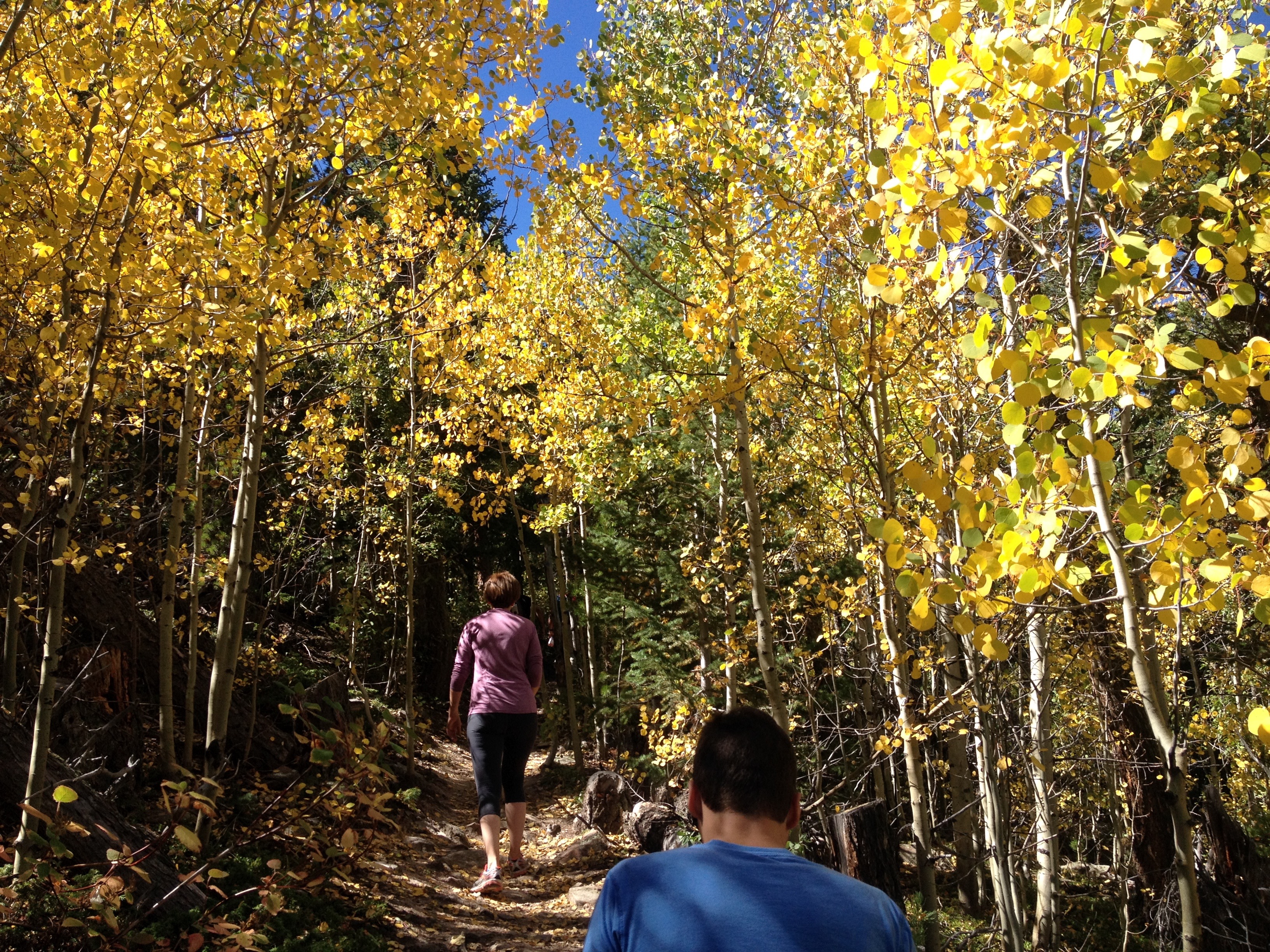
I became interested in the weather at a young age, in part, because its impact on all of our lives is quite evident, almost every day.  While the weather has an impact on nearly all aspects of our lives, it has the greatest impact on many of the activities we take part in for enjoyment and fulfillment.  Activities such as hiking, playing on a friendly softball team, or having a family picnic in the park take place outdoors, and require a certain type of weather conditions, otherwise they are either not possible or not enjoyable.  For many, including me, activities like these make up an essential part of life, an essential part of feeling “alive”, and an essential part of the human experience.

The weather also behaves in a sort-of predictable but sort-of not predictable manner.  From sheer observation, we can recognize certain patterns in how the weather behaves.  But, there are always some surprises, some deviations, something to keep us on our toes.  If we always knew what exactly what weather conditions to expect, some aspects of life would be easier to plan, but the weather would be far less interesting.

In Colorado, each season presents a different set of considerations.  In winter, we watch the snowpack grow, as well as when and where storms that make travel perilous hit.  In spring, we watch as the snowpack melts and the runoff produces both rapids, and potential floods.   In the summer, an issue for some in places close to Denver, Fort Collins, Pueblo, etc. is the heat.  Mid-summer in particular can get quite hot in these locations, with most days reaching highs in excess of 90 degrees.  Those looking to avoid this heat can do one of two things; wake up early or travel to a higher elevation.

I needed a calmer weekend.  The summer had been active, and I still have to expend some energy in order to make a living.  I am not extremely lucky or extremely wealthy.  But, I am hardly one to sit inside all weekend in the middle of the summer.

IMG_6761

Luckily, there are places one can get to from Denver in roughly an hour, sometimes less, that offer moderate intensity hikes at a high enough elevation to escape some of summer’s heat.  One such place is Reynold’s Park, close to Conifer, where we were able to find a set of trails that offer a six-and-a-half-mile loop, with a vertical climb of just over 1000 feet.  This hike is described as “moderate” in difficulty (as opposed to the hanging lake trail, with a similar vertical climb that is described as “strenuous”), and I would certainly agree with the assessment.

IMG_6763

We took the loop in the counterclockwise direction, using the Raven’s Roost Trail to connect to the Eagle’s Nest Trail.  I am actually glad we decided to take this loop in this direction.

IMG_6765

We spent roughly an hour getting to the summit, and were fortunately enough to be shielded from the sun for part of the time, due to both sections of denser forest, and partial cloud cover that afternoon.

IMG_6779

However, hiking the loop in this direction, we actually saved the best for last.  After “summiting”, there was a section of the hike that was generally flat, and also densely packed with pine trees.

I guess we “descended” a little bit, meaning 150 feet or so into the valley of a small creek.  When we popped out of that valley, we actually encountered the best view of all, as a clearer (from trees) section of the trail gave us clear views of some of the more interesting rock formations in the distance, including “cathedral rock” in the background of this photo.

IMG_6789

As we descended, I thought to myself about how sometimes I do get disappointed when I do not “save the best for last”.  What a letdown it is indeed when the best part of any hike happens within the first 45 minutes!  In fact, every time I eat a meal there is always a battle going on in my head.  I genuinely want to save the best for last, meaning, saving my favorite parts of the meal for the end.  But, I also do not want to get full on the other stuff, and not have enough room for what I enjoy the most.  This is what makes collecting the proper food at Indian Lunch Buffets a particularly daunting task.  Anyone going to one should know their appetite.  In fact, I suggest only going when there is a robust appetite, particularly for those with FOMO (Fear Of Missing Out).

I’ve been trying to, of late, capture some better pictures of wildlife.  While I haven’t necessarily been out in search of it recently, I have been trying to keep my eyes out for it, as opposed to just looking for waterfalls, unique rock formations, summits and the like as I typically do.  The previous week, in Glenwood, I took this photograph of a chipmunk eating a little cracker (also posted in my previous entry).

IMG_6701

At Reynolds Park, I got a chance to take this amazing close up photo of a butterfly in the parking lot after the hike.

IMG_6796

In fact, this particular butterfly chose to land on a yellow colored post and sit there with its wings out, color coding herself in a manner that almost felt like it was purposeful, as if the butterfly somehow thought there was a possibility it would get famous from this photo; possibly ending up as the July photo in a 2017 Butterflies of Colorado calendar that people will see at the mall, or at Barnes and Noble.

IMG_6793

Add to that the craziest sap discharge I have ever seen (okay, trees really aren’t wild but you get the picture), and, well I was pretty successful in trying to expand my photo-taking to new horizons.

In a divine sort of sense, sometimes I wonder if one of the reasons for changes in seasons, changes in weather patterns and such is to ensure that people are forced to go to different places, try different things, and have some kind of a variety in their lives and activities.  It is easy to do the same thing over and over again, but it is also the least satisfying way to live.  But, sometimes we need a push.  Whether that be some sort of tough situation at work, an unwelcome new presence in our community, a terrible breakup or anything else, sometimes the silver lining in all of it is getting involved in something new, something more satisfying than what was before.  While 95 degree temperatures and exhaustion are certainly less extreme than any of these situations, I know it helps push people towards variety and is giving at least some other people a chance to select a more moderate activity while taking time to appreciate nature, have a nice chat with friends, or, in my case, both.

Glenwood Springs: Where Canyon Country Begins

IMG_0014.jpg

When people think of the American West, certain images often come to mind:  the unique natural features of Yellowstone.  Iconic mountains that tower over the nearby landscape, such Rainier and Hood.  The canyons that carve through the American Southwest, creating popular destinations such as the Grand Canyon.

The Grand Canyon is not the only canyon of the American West.  In fact, it is not the only canyon carved out by the Colorado River, the continent’s fifth longest running river.  The river, has its source at Rocky Mountain National Park and snakes through the west carving out  numerous canyons.  In fact, there are some that believe that the canyon in Southern Utah that was flooded when Glen Canyon Dam was built, a couple of hundred miles upstream of the Grand Canyon, was even more scenic than the Grand Canyon itself (some are even looking to remove the dam despite the Wests water needs).

An overly simplified model of Colorado’s geography, is that of the three flavored boxes Neapolitan Ice Cream.  Colorado’s three sections are the Plains, the Central Rockies, and a region generally referred to as the Western Slope.  While the Western Slope is officially defined as anywhere west of the Continental Divide, culturally, we tend to think of it as west of Ski Country, which also happens to coincide with where canyon country begins.

Glenwood_20160725

On the above map, the two yellow stars are Denver, where the Plains end and the Central Rockies begin, and Glenwood Springs, where, traveling west the terrain transitions from tall peaks to canyons, mesas, and plateaus.

The official reason for the trip to Glenwood this year was whitewater rafting, a group trip that I organize every year, with a different destination each time.

This year, the trip was a little bit later in the season, early July, rather than mid-June.  The later date allowed more of the mountain snowpack to melt, particularly this year, as the period around the fourth of July was quite hot across the state.  As a result, the rapids were not nearly as intense as the previous two years.  However, the trip was not without its moments.  This time, everybody stayed in the raft!

As was the case last year and the year prior (this is the third year of my annual trip), we camped.  We selected a somewhat peculiar place to camp this year, on top of the White River Plateau north of town.

IMG_6664

To get to the Plateau, we had to follow a road called Coffee Pot Road, a bumpy road that rose up out of the Colorado River Valley below us and onto the plateau several thousand feet above it.

IMG_6661.jpg

Here is where I fully came to the realization that I was on the border of two of Colorado’s “stripes”.  Looking east from the campground, in clear view are the tallest peaks of the Central Rockies, the Sawatch Range, which includes Mount Evans, Colorado’s tallest peak.

IMG_6715.jpg

A mere mile to the west of our campsite sits Deep Creek Canyon.  I had no idea this canyon existed.  Deep Creek is a tiny creek, carrying very little water at the time we saw it.  Yet, it manages to carve a 2100 foot deep crevice in the landscape in a manner similar to Black Canyon and other Western Canyons.

IMG_6667IMG_6669

What really made this feel like a peculiar place to camp was the range of temperatures we would experience over the course of the weekend.  We spent the middle part of the day in the valley, first rafting in the Colorado River than in town, all at elevations below 6000 feet.  Daytime temperatures soared well into the 90s!  At night, we returned to our campground, above 10,000 feet in elevation, where nighttime temperatures fell into the upper 40s.  If one were looking to experience comfortable temperatures, it would make sense to do the exact opposite, spending the daytime hours at higher elevations where it is cooler and then returning to the valley at night.

IMG_6682

The town of Glenwood Springs is a touristy town.  Everyone around, from the rafting instructors to the bus drivers describe it as such.  However, it is touristy in a different way than some other places I’ve visited.  I didn’t see 50 ice cream shops like I do in South Haven, MI.  I did not see anything like Ripley’s Believe it Not or the other places I see at the Wisconsin Dells.  And, I certainly didn’t see 150 T-shirt shops as I do when I visit Cooperstown.  It seemed like more bars and restaurants than anything else here.  And, of course, one of Glenwood’s other main draws, the hot springs.

IMG_6683

Maybe Glenwood’s tourism industry is simply trying to accommodate a different mix of people than those other places, or maybe they are simply trying to stay true to their own unique identity.  After all, there are a lot of activities in the area, and a lot of reasons for people to visit.

IMG_6680.jpg

Just east of town, is the area known as Glenwood Canyon.  Due to the narrowness of this valley, there are sections of I-70 where the speed limit drops to 50 miles per hour, the westbound lanes are stacked on top of the eastbound lanes, and parts of the highway are tunneled underneath rock that goes right up to the River.

IMG_6684

It is in this canyon, several miles east of town, where Glenwood’s signature hike, Hanging Lake Trail draws so many tourists, that the parking lot is commonly full.  In fact, both Friday and Saturday, highway signage indicated that this lot was full anytime we drove by it.  We were able to get parking spots in the later part of the afternoon, around half past four, after the rafting trip, and lunch in town.

Hanging Lake is a short but challenging trail.  Only 1.2 miles long, it climbs 1200 feet in elevation.  This, both made sense and surprised me at the same time.  Being in a canyon, I knew that any hike in the area would be steep, and this one sure had its steep parts.  What surprised me was, how far up the canyon hanging lake is.

IMG_6691

I had seen pictures of this lake before, and knew the trail was short, I just pictured it being much shorter and much closer to the bottom of the canyon.

The trail was crowded, which should not be surprising, given that the parking lot was still almost completely full when we arrived.  What surprised me was the ethnic diversity of the crowd hiking this trail.  On the way up to hanging lake, which probably took a little over 30 minutes, I heard people speaking all sorts of different languages!  I enjoyed seeing so many different kinds of people enjoying scenery, nature, and, as I speculate, a weekend away from it all.

There is only one area attraction I did not get to, the Glenwood Caverns Adventure Park.  It’s hard to get to everything on a short weekend trip.  I guess there is still a lot more for me to see here in Glenwood, where Westbound travelers leave the high peaks of the Central Rockies and enter the land of deep canyons.


A Mental Health Day

IMG_6149

I feel like I have over 100 things on my mind, all vying for space, all wearing me out.  All the changes I see around me.  The shocks, the craziness, the idiocy.  The selfishness.  My personal shortcomings, recent mistakes, how my life’s path ended up where it is and what to do about it.  How do we find a balance between order and chaos?  All the ways in which the people around me have let me down.  All the ways I let the people around me down.  How do I keep the benefits of having a smart phone (like being able to take pictures like this, after 28 miles of bicycling, which would have been tough carrying a heavier device) but avoid the pitfalls of mindless scrolling on weekdays when bored?  What is my future,  and how do I find my niche?   What is the future of our society?  The mindless violence followed by the sometimes equally idiotic responses to it.  Globalization.  Trump, Brexit, and the backlash to globalization.  But, most of all, the disappointments when experiences do not match expectations.

Simply put, I needed a mental health day.  I think we all do from time to time.  A day where we get away from jobs, computers, social media, day-to-day responsibilities, pretty much everything that causes us stress, and do something that we enjoy.  This, of course is something different for everybody, and it is not up to me to judge what any one person does for their mental health days.  Well, unless of course it is something morally reprehensible like murder or theft.

I have a firm belief in, and also a unique take on, the connection between mind, body, and spirit.  Over the course of my life, and in observing others, it is almost impossible not to observe the connection between the three.  I remember winters in Chicago, and other times when lack of exercise would in turn weigh on my mind and spirit.  Overall, improvements in one of the three realms often force improvements in the other two.  Likewise, a deterioration in one of the three realms can negatively impact the other two, like the person who develops an eating disorder after a rough breakup.

So, I decided to make my mental health day also a physical health day, with a bike ride to Roxborough State Park.  This is a ride I did two years ago.  The basic gist is that it is 28 miles each way, goes by Chattfield Reservoir, and is a significant climb over the last five or six miles.

Wednesday’s ride was even more exhausting, as temperatures soared into the 90s and a Southerly wind developed making the last several miles of climbing in harder.  Needless to say, I arrived at Roxborough exhausted.  In fact, I had to sit inside for about 15 minutes to cool off when I got there.

IMG_6140

Still, I decided to do some hiking.  Knowing that my legs were exhausted, I decided to stick to moderate trails, but ones where I can still view the essence of the park and what makes it geologically unique.

IMG_6142IMG_6143

It was after roughly 1.5 miles of hiking that the ideas suddenly started popping into my head.  Ideas about things I could be doing with my life just entered my mind.  I could do this, and present it to these people, and achieve fulfillment in this manner.  They just kept pouring in, and, for some reason, felt so simplistic to me.  Like, the only thing I need to do is just go out and do these things.

IMG_6144

These are all things that frustrate the hell out of me day and night.  Maybe it is because all of the physical exertion caused my mind to slow down enough for my brain to stop over-thinking things.  Maybe it is the freedom from all of the distractions of daily life.  It’s strange what I was contemplating.  Whenever I am in front of a computer, at an office, in a cube, or in some kind of work-like setting all of the ideas I have seem almost impossible, like a daunting challenge that would take years to attempt and would likely not result in any meaningful success.  In a way, there, I feel stuck.  Here, not so much.  Here, the same exact ideas seem quite possible.

It is here that the conspiracy theorist in me gets activated, so please bare with me, as I am the kind of person that just likes to entertain theories, even if I am not necessarily going to conclude that they are true.  I wonder if cubicles, offices, sedentary days and the like are the way “the system” maintains itself.  By “the system” I mean what I am observing around me.  A whole generation of highly educated people going to work at jobs that are well beneath the skill level they develop through college, and increasingly, post-granulate, education.  A whole generation of people submitting to rules, such as a strict 9-5 schedules and dress codes, that are no longer relevant for the kind of work that now predominates in a service sector economy.  Is the reason people continue down this path the manner in which a whole day of sitting at a computer connected to the internet and all of its distractions make them feel?

IMG_6147

People visit Roxborough State Park, and the geologically similar and more well-known Garden of the Gods, because they are unique.  If this place looked like every other place on Earth, people would not make a specific point of coming here.  So, maybe the key to being the kind of person people seek after, is to be unique.  After all, the person you meet at the party that is exactly like everyone else, is the person you don’t remember.  Sorry to be harsh.  But, it’s when someone does something unique, or interesting, that you remember that person.  Strangely, though, the world of school, and subsequently work, encourages conformity.  It encourages people to follow the worn out path and do things the way they are always done.  Maybe overcoming that conditioning and doing things our own way is the key to life, both in terms of success and happiness.

When You Don’t Appreciate What You Have

IMG_5987.jpg

It’s Memorial Day, and there is a lot on my mind.  Part of me feels like I “should be” doing something way more substantial this weekend, as it is one of three big weekends that define summer here in the United States.  I can’t stop thinking about all of the sales and shopping going on this weekend.  And, then, of course, I end up thinking about the ACTUAL meaning of the holiday; remembering those who have died fighting for my country.  Many people in the military, or closely associated with someone in the military, lament what this holiday has become, all about grilling in the park, going to stores, partying, etc.

I “stayed home” this weekend, which for my standards (as an antsy person) means I stayed within the Denver-Boulder-Castle Rock area.  I needed to take it easy.  My next two months are packed with activities.  Also, most places I would go would have been particularly crowded this weekend.

Confluence Park is a mere three miles from my home, and right in the middle of Downtown Denver.  In fact, when I worked in Lower Downtown (LoDo), I was able to walk here from my office on lunch hours.  I ended up being here at a very unique time of year.  The river that runs through the center of town, the South Platte, has its origins in the higher terrain of the Central Rocky Mountains.  Above 10,000 feet, snow continues to fall, and temperatures remain chilly through much of Spring.  By this time of year, that snow is melting rapidly, swelling rivers like this one with rapidly moving, cold water.  It seems like the water levels reach their highest sometime around Memorial Day.

I sat in Confluence Park with my feet in the water for roughly half an hour.  I moved around from time to time, from rock to rock, feeling the sensation of the rapid stream flow in varying patterns, with different bumps, and eddies at different spots along the river.  I even stood on top of a mini-water fall for a bit.

I thought about all of the people, running around from store to store, looking for something new today.  I even thought of myself, and how I am always looking for new places to travel, new experiences, etc.

I even thought of the other activities I took part in this weekend.

Saturday’s brewery tour by bicycle.

Sunday’s hike up Green Mountain, to a place where one can see multiple 14,000 foot peaks in one direction and Denver’s skyline in the other.

IMG_5984IMG_5985


None of these activities required traveling a long distance, or buying any fancy equipment. A basic bike, a basic pair of sneakers will due.

Sometimes it seems like we spend way too much time looking for something new, and not enough time appreciating what we already have.  After all, whether it be a place to view the skyline from above (something I did not have when I lived in Chicago), or a year old pair of shoes, everything we have was once new, was once exciting, and was once a thing we were happy to obtain.  Are we still happy to have it?  Are we still enjoying it?

Some of us have more than others.  But, no matter how much or how little any one of us has, the one thing each and every one of us has is ourselves.  We have our bodies, and what we are capable of doing.  We have our minds, the things we think of, the way we reason, etc.  And, we have our spirits, our attitudes, what makes us excited for life, what makes us empathize with one another, and what makes us stand up for what we believe in when necessary.  This is definitely something we should all learn to appreciate.  If we all spent more time appreciating ourselves, maybe we would have a more positive outlook, and a more positive impact on the world around us.

Iceland Air’s Glacier Hike and Northern Lights Tour

As part of their push to encourage tourism in Iceland, Iceland Air now offers a variety of one-day excursions that travelers can embark on whether they are visiting Iceland specifically, or taking a stopover on their way between Europe and North America.  These one-day tours offer a variety of options for experiences, including which places to visit and what types of activities to take part in.  For all of them, the general idea is the same; a bus picks tourists up at various hotels in Reykjavik, and gives visitors what basically amounts to a one-day “Taste of Iceland”.

My tour of choice was the Glacier Hike and Northern Lights tour, which offers a lot of what I was looking for out of my time in Iceland.  The Northern Lights is something I had never seen before.  In America, we hear about such phenomenon occasionally. Roughly once a year, we will hear in the news about a particularly strong solar event occurring, and the potential for the Northern Lights to be visible much farther from the North Pole than is typical.  Sometimes that zone would even reach the Northern parts of the United States, and news outlets would provide maps of where the lights could potentially be visible.

For years, living in Chicago, such stories would provide a particular brand of torment for someone that is curious about seeing the Northern Lights.  It is not possible to see the Northern Lights from such a large, lit up city.  One would need to travel somewhere less populated. To get outside the populated metropolitan area, I theoretically would be able to travel in any direction, but it makes little sense not to go North, as the lights get better the farther north one travels. However, North of Chicago is Milwaukee, and the area in between the two cities is populated enough to make it less than ideal for viewing the phenomenon.  So, the prospect of getting in a car and driving out to see the Northern Lights was always a multi-hour trip.  Some combination of time constraints, or frequent wintertime cloudiness in the Midwest always stopped me from driving up to Central Wisconsin (or Central Michigan) to try to see the Northern Lights.

The tour started like every one of the Iceland Air excursions, with a mid-sized bus going from hotel to hotel picking people up.  The bus went to about six different hotels to make pick-ups, finally leaving Reykjavik around noon.  The tour group was quite mixed.  There were a couple of other Americans, a few Canadians, and even two people from France on our tour, but the majority of the group was from Great Britain.  I have relatively little experience traveling to Europe (this trip, and a trip to Italy, Austria, and Germany in 2012), but on both occasions I ended up hanging out with tourists from the UK, specifically England.  I don’t know what that says about America, or who I am as a person, or if it is just due to a common language, but I am curious to see if that happens again next time I go to Europe.

IMG_5276.jpg

Driving East out of Reykjavik, towards Iceland’s South Coast area, the first thing I notice, which is common throughout Iceland are lava fields.  Across much of Iceland, the land is covered with ashes from previous volcanic activity.

IMG_5250.jpg

The previous day, I had learned at the Volcano House in Reykjavik that Iceland is one of the most volcanically active places in the world, as it sits on the ridge between the North American and Eurasian plates, which are drifting apart from one another.  In geologic terms, this is actually happening quite quickly.  On average, a volcano occurs somewhere on the Island once every 5 years, and as the plates pull apart, the Island is literally growing at a rate of 2 cm per year. 50 years from now, Iceland will be 1m wider than it is now!

IMG_5279.jpg

About 30 minutes into the trip, the bus passed by the hotel where one of the scenes in the 2013 film The Secret Life of Walter Mitty took place.  In the movie the volcano Eyjafjallajökull erupts, and Walter is lucky enough to have been picked up by a friendly local to escape before being covered in ashes. In real life, this gigantic volcano erupted quite explosively in 2010.  In the most unfortunate of circumstances, the wind happened to be coming from the Northwest that day, and the ashes covered the sky over Great Britain and much of mainland Europe halting air traffic for several days.

IMG_5286.jpg

The next stop on this tour was Skógafoss, one of Iceland’s largest waterfalls. Iceland is not only a hot spot for volcanoes, but it is also a hot spot for waterfalls. This is due to the glaciers, which cover 15% of the land area of the island, the terrain and relatively moderate maritime climate. Waterfalls like this can be found all over Iceland, and they probably look even more amazing in summer, when the ground appears lush and green!

IMG_5295IMG_5287

The main event of this tour, the Glacier hike, worked for me on multiple levels.  I love being outside, hiking and getting some exercise.  There are many times, when on vacation, I purposely try to find the most strenuous activities possible.  I especially do this when I am on a cruise or in some other kind of vacation package, where I know an activity does not need to be super challenging, or even that physically exhausting for them to be labelled as such.  I also got to try something new, hiking with crampons.  Now, I am not sure they were absolutely necessary for this particular hike, as back in Colorado I had hiked in areas that were steeper and more slippery and gotten by without them.  But, I did learn how to use them, how to attach them to my hiking boots, and how to walk with them on, a good thing to know for future activities down the road.

IMG_5298.jpg

In addition, the glacier, and what our tour guides told us about it was quite fascinating from a scientific perspective.  Apparently, this particular glacier is receding at a fairly rapid pace.  Along our hike, the tour guides pointed out where the glacier used to end in past years compared to where it ends now.  As recently as 2010, the glacier covered nearly all of the area near the entrance of the park that we traversed before getting onto the current glacier.  When this portion of the glacier melted, a gigantic lake was left behind in the lower lying area.

IMG_5302.jpg

The tour guides then informed us that we are actually witnessing a the formation of a fjord.  Roughly an hour into the hike, we had climbed to roughly 100m above sea level. However, the ice was thicker, somewhere between 150m and 200m.  Over time, the ice had pushed the land beneath it below sea level. Once these glaciers melt, the area will be under water, creating a fjord in this very spot.  This is one of many spots where this process is happening as we speak.

As a weather enthusiast, who had studied meteorology, I asked the tour guides what the primary mechanism was for the melting glacier.  Specifically, I asked if it was reduced winter snowfall or warmer summer temperatures.  They indicated that both were contributing factors, but also mentioned that, since temperatures in Iceland are commonly quite close to freezing, the area was starting to see precipitation fall in the form of rain (as opposed to snow) more frequently.  I could sense that, as even on this February day, the snow I stood upon was quite wet.

But that was not even the most fascinating scientific aspect of this tour.  Almost everyone is familiar with climate change, and it’s become the subject of sometimes-ridiculous debate.  The most fascinating thing I learned about this glacier is that fact that, due to the presence of volcanic ash, the glacier is creating terrain that is constantly changing.  Here, volcanic eruptions spill out on top of the ice, causing ice to melt faster in some areas.  The ice then flows in a manner that brings more ice into areas that are currently in “valleys”.  Even when there is no new volcanic activity, the cycle of ice flow and differential melting can happen rapidly enough that each year the terrain of any given section of ice is significantly different from the previous year.  Literally, if I were to return to Iceland at the same time next year, and come to this very glacier, the hike would be significantly different, as the terrain would have been significantly modified.  Amazing!

The glacier hike concluded a little after sun down, which was right around 6:00 P.M. After the hike, the tour bus took us to a hotel restaurant in the area for a traditional Icelandic meal.  To my surprise, the meal did not involve fish.  For some reason, I had this impression that since Iceland is an island in the North Atlantic, it would be a place where almost every meal consisted of fish.  Instead, the traditional Icelandic meal was a hearty meat soup.

IMG_5329.jpg

On the tour bus, I learned that the Icelandic cow, which is a special breed of cow that is smaller than the ones most of the world is familiar with is quite popular on Icelandic farms (they actually once voted in favor of keeping the cow over switching to a more efficient Norwegian cow).  In addition to these cows, many farms also keep lamb and sheep.

IMG_5331.jpg

After dinner we drove in search of an ideal place to view the Northern Lights.  This involved driving around and looking at weather conditions in a manner that actually seems reminiscent of storm chasing.  We drove around for hours, and every time it felt like we had found the right conditions (i.e. clear skies), something would change.  At one point, sometime between 9 and 10 P.M., as drove through an area where it suddenly started to snow!  At 11:30 I was in despair.  We were clearly headed back into Reykjavik, and I thought we were just going back to the hotel.  After all, the tour does not guarantee that the Northern Lights will be seen.  It can’t be guaranteed.  The weather is always changing, and the solar activity, which leads to the Aurora phenomenon, is also quite variable.

Oddly enough, though, just after midnight, we pulled into a pier on the far West end of town, along the shores of the Atlantic Ocean, on a peninsula.  Our tour guide informed us that we would now be able to view the lights, and, sure enough, they appeared. I was unable to capture them on camera in a manner that would do this amazing natural phenomenon any justice.  I mostly just sat there, in awe, watching the lights glow and move from side to side along the horizon.  I thought about how amazing this phenomenon was.  I wondered if people who lived here took it for granted, noticed it less, the same way many people become less appreciative of what is in their own back yards.  At the end, I just thought about what an amazing day it was, from when the tour began, over twelve hours ago, until now, ending with this amazing light display.

Summer Persists

IMG_4449

I have been fascinated by the weather my entire life.  When it comes to our atmosphere, there is always something interesting going on.  The weather seems to find a way to continue to surprise people, behaving in different interesting ways each season, each year, each decade.  Our lives are impacted by the weather every day.  It is something that is impossible to ignore.  It is always on our minds, particularly for those that of us that love travel and outdoor activities.

At times, our plans can be frustrated, or even cancelled by changes in weather conditions.  It is the early season baseball game that was cancelled due to a freak April snowstorm.  Or the ski resorts in Lake Tahoe that had to close due to the lack of snow.

At other times, unexpected opportunities can arise.  I remember one year, when I was in college in Northwest Indiana, a place that is typically quite chilly in the wintertime, we had a series of unexpected 60 degree days in late January.  I unexpectedly found myself in Lake Michigan (albeit only knee-deep) on the 27th of January, a time of year I could normally expect to be huddled indoors.

Across much of the country, the story this September was the persistence of summer.  Some places are experiencing one of to their warmest Septembers on record.  Here in Denver, it has been the same story.  September’s temperatures this year, largely resembled what is typical in August.

Denver_Aug_Sept_2015

A sensible response to hot weather in Denver is to travel up to the mountains, where it will be cooler and more comfortable.  So, in addition to my hike near Breckenridge on the 11th, I made trips up to the mountains both of the following weekends.

September 19th was a repeat hike, to Windy Point at Golden Gate Canyon State Park, which is actually less than an hour’s drive from Denver.  The first time I hike this particular trail, in October of 2013, the upper portions of the trail were already covered with snow.

IMG_1163

This time, I got to experience the trail without such snowpack.

IMG_4435 IMG_4430 IMG_4429 IMG_4414

My other late season hike in the mountains involved a trip to a place I had never been before, but had been meaning to check out for quite some time, the Fourth of July trail outside of Nederland.

IMG_4467 IMG_4465 IMG_4474 IMG_4478

This hike in particular, on September 26th, represents the kind of opportunity that would not have been available had it not been for the unusual resistance of summer.  This trailhead is at an elevation of just over 10,000 feet.  By late September, one would expect high temperatures only in the mid 50s at this elevation, and not the warm conditions we experienced that day.

IMG_4477

One thing I have come to notice during periods of abnormal weather is how the trees never seem to be fazed by the abnormal conditions.  In the Midwest, when we would have a mid-winter thaw, like the one I had perviously mentioned, none of the trees would start growing leaves or anything.  They would continue to stay the course, knowing what to expect from the rest of the season.  Here in Colorado, the trees are still changing colors largely on schedule, with the later part of September being peak season for fall colors at these elevations.

IMG_4483

I have actually come to realize that the most magnificent fall colors occur when there is a warm and dry fall.  As it was last year, without windy, rainy, or even snowy weather early in the year, the leaves stay on the trees longer.

IMG_2733

In a month where we sweated through 90 degree weather for Tour de Fat,

IMG_4372 IMG_4391

And one could attend a concert at Red Rocks without needing a jacket,

IMG_4442 IMG_4448

It is hard not to feel as if summer just has’t ended yet.  We simply got to experience summer longer than anticipated.

Whether it be a season of the year, like winter or summer, or a chapter of our lives, we all anticipate change.  We know that a change is destined to occur, and often have an idea in our heads as to when that change is destined to occur.  However, sometimes, changes do not happen at the time they are anticipated.  Sometimes in life, we are caught off guard by an unexpected change before we had fully prepared.  We all have heard of at least one person who had endured an unexpected layoff, or an unplanned medical emergency.  Other times, as is the case with the switch from summer to autumn across much of the United State this year, it takes longer than anticipated for the next chapter of our lives to begin.

As someone who loves hiking, cycling, and water sports, and is generally not too negatively impacted by hot weather, it is easy for me to welcome the unexpected extra month of summer.  It is easy for me to say, in this case, that the best way to handle this delay, in the transition from summer to autumn, is to go out and enjoy it, take advantage of the opportunities, and be patient for the next season to start.  But, I know that this is not the case for everybody.  I also remember being the one frustrated by the lack of change.  I remember one March in particular, when I was living in Madison, Wisconsin, that winter just seemed to never end- and I was beyond sick of it!

Fall is going to come.  According to the weather report, by this coming weekend, October 2nd and 3rd, most of the country will be experiencing weather more typical of fall.  Those that have grown tired of the heat, although they had to wait longer than expected for the cooler air to come, knew all along that it would, and that the changing of the season is inevitable.

IMG_4490

At some point in time, we all end up in a place where we feel our lives have stagnated.  We enter a place where our current situation, whether it be our job, or what we are doing on a day-to-day basis, has simply run it’s course.  We have gotten what we need to have gotten out of the experience.  Maybe it has become frustrating, or maybe it is just simply not inspiring to us at all.  In these situations, the cycle of winter-spring-summer-fall we all live through on an annual basis serves as a reminder that the change we desire is inevitable.  Sometimes it just takes longer than we had hoped.

Mohawk Lakes, A Moderate Hike in Central Colorado

IMG_4345

Sometimes recreation in Central Colorado can be just plain overwhelming.  I remember when I was preparing to move to Colorado, and took a look at a Colorado DeLorme atlas I had just purchased.  DeLorme makes an atlas for every state in the country.  These atlases are great for those who love outdoor recreation.  Not only are features such as campgrounds, hiking trails, waterfalls, and parks labeled on the maps themselves, but each map contains a dozen or so pages in which hot spots are listed.  These include key places to camp, fish, hunt, hike, bike, and such, as well as a list of “unique natural features”.  When I looked through my Colorado DeLorme atlas, I was suddenly overwhelmed by the amount of options available to me for many of the activities I enjoy.  I kept wondering, though, how the heck I would go about something like picking a place to hike when there are so many options.  I was actually worried that some days I would end up going nowhere due to analysis paralysis.

The most effective networks, whether they be all of the trail networks in parts of Colorado, or New York City’s network of subways, are overwhelming, and sometimes take awhile to learn.  However, the same way any New Yorker can get by without owning a car, due to all of the train lines in the city, a Coloradan can find the right hike for many different situations and many different desired experiences.

Last Friday I had a friend in town from Chicago who does not get to experience mountains on a regular basis.  On previous trips I had taken him to Rocky Mountain National Park.  This time, I wanted to take him somewhere different to see some different scenery in a different part of the state.

IMG_4321

The most talked about hikes in this part of the State tend to be the “14ers” to the South.  These hikes tend to be challenging, and, sometimes are just as much about accomplishing something (particularly to some people) as it is about the experience of hiking.

IMG_4328 IMG_4324

By contrast, the Spruce Creek Trail certainly fits into the “moderate” category for difficulty.  The first part of the trail is kind of a mixture of flatter and steeper areas.

IMG_4329 IMG_4330 IMG_4331 IMG_4333

Roughly two miles into the hike we encountered this random cabin that still seemed partially functional.  With a stove and a ladder that leads to an upstairs area it is reminiscent of the cabins that people purchase as second homes.  However, it was kind of in disrepair and there were several holes in the floor.  Still, I wonder what this cabin is used for.  Do people actually stay here at night from time to time?  Did people originally stay here when this place was built?  Is it used for some other purpose, like filleting fish, or fleeing storms from time to time?  After all, this cabin is fairly close to the first major lake one encounters on this hike- Mayflower Lake.

IMG_4348 IMG_4342

It is around here that the trail reaches somewhat of a point of inflection.  Above this elevation, the trail becomes steeper.  I honestly should have expected this type of experience.  One thing I note every time I ski at Breckenridge ski resort is the fact that the steeper terrain tends to be on the higher parts of the mountain.  If I ski on Peaks 7, 8, or 9, which is the part of the mountain closest to town and the lower part, I notice that any run I chose becomes progressively flatter as I descend.  The Mohawk Lakes, and the Spruce Creek Trail are seriously no more than 3 or 4 miles from the boundary of the ski resort.  Therefore, it makes perfect sense that one would experience the same kind of terrain.

IMG_4334 IMG_4337

The trail encounters Continental Falls several times as it switches back and forth across the mountain.  The last several hundred feet of climbing up to Lower Mohawk Lake is somewhat of a scramble making it quite different from the smooth and well marked trails that we started out on.

IMG_4346 IMG_4343

It was already nearly 1 P.M. when we arrived at Lower Mohawk Lake.  We stopped to eat lunch and decided to forgo hiking all the way to Upper Mohawk Lake, a decision I eventually came to regret after learning that we would only have had to hike an additional 0.4 miles, and only climb another 250 feet or so.

I have really come to appreciate this time of year; September, early fall.  There is a lot of pleasant weather, and many people have even told me this is the best time of year for hiking in Colorado.  In the summertime, particularly in August, there is a daily thunderstorm threat associated with the North American Monsoon.  This year that threat ended right after Labor Day when the prevailing weather patterns changed ushering in a drier period for Colorado.  On Labor Day I got caught in a brief afternoon thunderstorm.  There has not been one since.  It is almost as if Mother Nature was aware of, and chose to abide by, our society’s labeling of Labor Day as the “end of summer”.  In August mid-afternoon would typically bring at least some major cloud formations reminding hikers of the thunderstorm threat.  Last Friday the sky remained clear throughout the day.

IMG_4347

I actually think I could not have picked a more ideal time for this particular hike.  One thing I hear about the Spruce Creek Trail is that it is prone to becoming muddy during periods of heavier precipitation.  These types of trails can be problematic in early summer when there is heavier stream flow.  The later part of this summer, and now September, has been much drier across Colorado.

The hike ended up being exactly what we had wanted; a moderately challenging hike that brought us to some unique scenery.  There are many places, both geographic, and in life, where one cannot just go about finding a trail that matches the desired experience exactly.  Whether it be picking a place to hike, chosing a neighborhood to purchase a home, or picking a place of employment, sometimes the option that matches exactly what we want simply is not available at the right time.  So, we end up finding something that is pretty good, a decent match, but not exactly 100% the experience we had been looking for.  It’s just a part of life.  But, here outside of Breckenridge, I found the trail that matched exactly what we wanted, and am thankful for it.

Backpacking in the Sangre de Cristo Mountains

IMG_4229

Lately it feels like nearly every article I read about personal growth mentions something about getting out of your comfort zone.  It makes sense, as getting out of our comfort zones forces us to learn new skills, see things in a different light, and keeps us in the habit of expanding our horizons.  One thing I had realized, though, is that many of us often equate leaving our comfort zone with trying something new.  While they often go hand and hand, they are not completely equivalent.  I would argue that, for someone who parties every weekend, trying out a different bar, while a new experience, is not really stepping outside their comfort zone.  Likewise, it takes significant courage, and takes one a significant distance outside their comfort zone, to stand up to a boss or an office bully, despite the fact that they are sitting in the same desk they have sat in every day for multiple years.

IMG_4198 IMG_4205

My first backpacking trip would be my first time in the wilderness, completely away from any buildings or vehicles, with no amenities, and no access to supplies other than what has been packed.  Anything forgotten cannot be retrieved.  There is no going back to the car to escape inclement weather, and no town to purchase replacements for any camping gear that may malfunction.  We are completely on our own!

IMG_4207 IMG_4302

Because this is my first time backpacking, we kept it simple, doing a loop of only 13-14 total miles up the Comanche Trail, over the ridge, and then back down the Venable trail.  I wish to try new things, expand my horizons, and step outside my comfort zone, but I want to do it in a manner that is smart.  I am accustomed to carrying little more than an extra layer or two, water, and some snacks when I hike.  Carrying a backpack, which probably weighed at least 30 pounds, is significantly more intense.  Not leaving some wiggle room in case something goes wrong, could be potentially dangerous.

IMG_4212 IMG_4213 IMG_4219 IMG_4227

And, well, something did go wrong.  After an exhausting 2600 foot climb from the trailhead to Comanche Lake, where we set up camp for the night, the stove malfunctioned halfway through cooking dinner.

IMG_4240 IMG_4231

We watched the sun gradually descend below the mountains, shinning only upon the higher terrain toward the end of the evening wondering what we were to do next.  Could we subsist the next couple of days, along our planned route, without any more cooked food, using only the cold food we had packed?  Would we have to cut any aspect of our trip short?  Was my first backpacking trip turning into a disaster?

IMG_4244 IMG_4245

After reasoning out in our heads that we technically could make it on the remaining cold food we had brought, we luckily found this rusty old pot just sitting there by the lake.  This pot saved the day, as we had no qualms putting it directly into a campfire.

Trips like this definitely help us see our lives from a different point of view, and force us to re-evlauate what a “necessity” really is.  Case in point, Saturday morning (second day of the trip), we had Zatarains’ Red Beans and Rice, and very much appreciated it.   This is a dish I will periodically make at home when cooking something “simple”.  When I cook red beans and rice at home, I, by default, add some kind of meat to it, usually sausage.  I behave very much as if it were a necessity to “complete the dish”.  But, in many parts of the world, where people are poorer and life is simpler, rice and beans is a common dish.  Going on trips like this serves to me, as a periodic reminder that many of the things we consider “necessary” for life are not really necessary for life, they are only necessary for the lifestyle we have chosen.

IMG_4248 IMG_4250 IMG_4251 IMG_4253

After a late start, we climbed, once again, from our campsite, at an elevation of roughly 11,600′, to the top of Comanche Pass, at roughly 12,800′.  Near the top, I suddenly realized that I was in an altered state of mind.  It felt almost surreal, and almost as if I had indeed taken some sort of mind-altering drug.  But, I hadn’t.  Some kind of combination of exhaustion, high altitude, and being outside my comfort zone had put my mind in a place where everything was both clear and blurry at the same time.  It’s hard to describe, but I am guessing that is why many yoga classes involve both an exhausting workout, and altered air conditions (heat, humidity), alongside its’ spiritual aspects.

IMG_4256 IMG_4257 IMG_4258 IMG_4261

All this made the view at the top, of nearby Comanche Peak, looking Eastward toward the Wet Mountain Valley we hiked in from, and over the mountains toward the Upper San Louis Valley, even more spectacular!

IMG_4260 IMG_4262

And, after a mile or so with little elevation change, we climbed back up onto the ridge at a place called Venable Pass, where we would complete our loop.  Here, we stopped to eat lunch before beginning our descent through an area known as Phantom Terrace.

IMG_4264 IMG_4267

This descent was tricky enough that my exhaustion, and the altered state of mind associated with it, continued.  All sorts of crazy shit was on my mind as we descended towards the Venable Lakes.

IMG_4268 IMG_4269 IMG_4270

Of course, it was on this descent where I saw the highest concentration of my least favorite plant ever.  I really do not know what they are called, but they look vicious.  They remind me both of the flesh eating plant in the movie Little Shop of Horrors, as well as the plans that try to bite in Mario Brothers.  In fact, in my altered state of mind, I actually felt as if these plants were trying to bite me as I walked by.  It was freaky.  Maybe, despite the Red Beans and Rice, I still did not eat enough, or drink enough, I don’t know.

IMG_4274 IMG_4276

We camped the second night just below Venable Lakes, as we had to get back down to the tree line for access to firewood.  We had become pretty well versed in the process of starting a fire and using it to cook our food using that rusty old pot we found (and kept after the trip).

IMG_4281 IMG_4282 IMG_4285 IMG_4286 IMG_4287

The next morning, we woke up early to view the sun rise.  We also saw some cool wildlife, deer, grouse, and marmots, which we had been viewing on and off for the duration of the trip.  However, particularly with deer, first thing in the morning is often the best time for wildlife viewing.  We also gazed upon the muddy puddle I had stupidly jumped into the prior afternoon, having wanted to cool off as it got quite warm for elevations in excess of 11,500′.

IMG_4289

Before leaving the last campsite of my first ever backpacking excursion, I paid homage to one of my favorite songs out right now Cool for the Summer, as, well, this summer has been awesome, and, is now coming to an end.  On the car ride back to Denver, we had a conversation about whether or not songs like this, geared towards high school and college students, apply to people who have graduated, joined the adult world, and no longer have summer break.  However, despite the fact that nothing about my job, or my role in life, automatically shifts for summer (to an internship or summer job), I do feel something magical about this season.  There are so many things one can do in summer that they cannot in other seasons.

IMG_4291 IMG_4296 IMG_4299 IMG_4301

The final descent, back to the trailhead along the Venable Pass Trail, is highlighted by a series of waterfalls, as well as a large number of Aspen trees.  At the biggest water fall, Venable Falls, I actually dunked my head into the water to cool off.  The lower part of this trail would be an amazing day hike sometime around a month from now, when the leaves on the Aspen trees are changing colors.

In the end, my first backpacking experience was quite the trip, and a memory that will last a lifetime!  I came away from this trip confused.  Backpacking is a strange activity.  It is both simple and complex.  It is both exhausting and relaxing.  Never had I been farther away from civilization, having interacted with a total of three people prior to the final day of the trip.  Having experienced additional complications, I am glad to have chosen something modest, in both size and scope, for my first trip.  And, I am glad to have gone with a group large enough to make the experience both efficient and enjoyable, but not too large, as to add additional unnecessary complications.